The Grotto and Hidden Spring - 12.30.2024
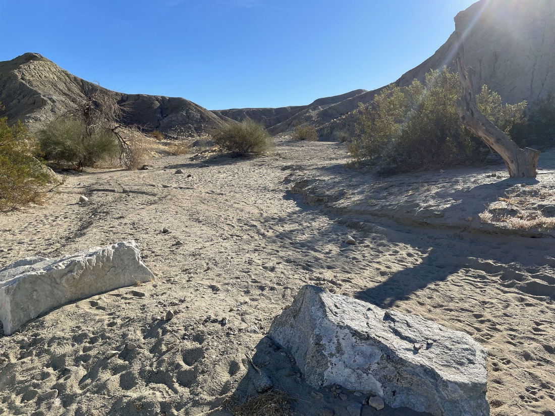
From the town of Mecca, California... drive 66th Avenue east for several miles to the Coachella Canal where the road becomes Box Canyon Road... then drive Box Canyon Road for 5.5 miles... then turn right and drive over sand for an eighth of a mile to an unsigned trailhead... if you don't want to drive on the sand, park next to the road.
|
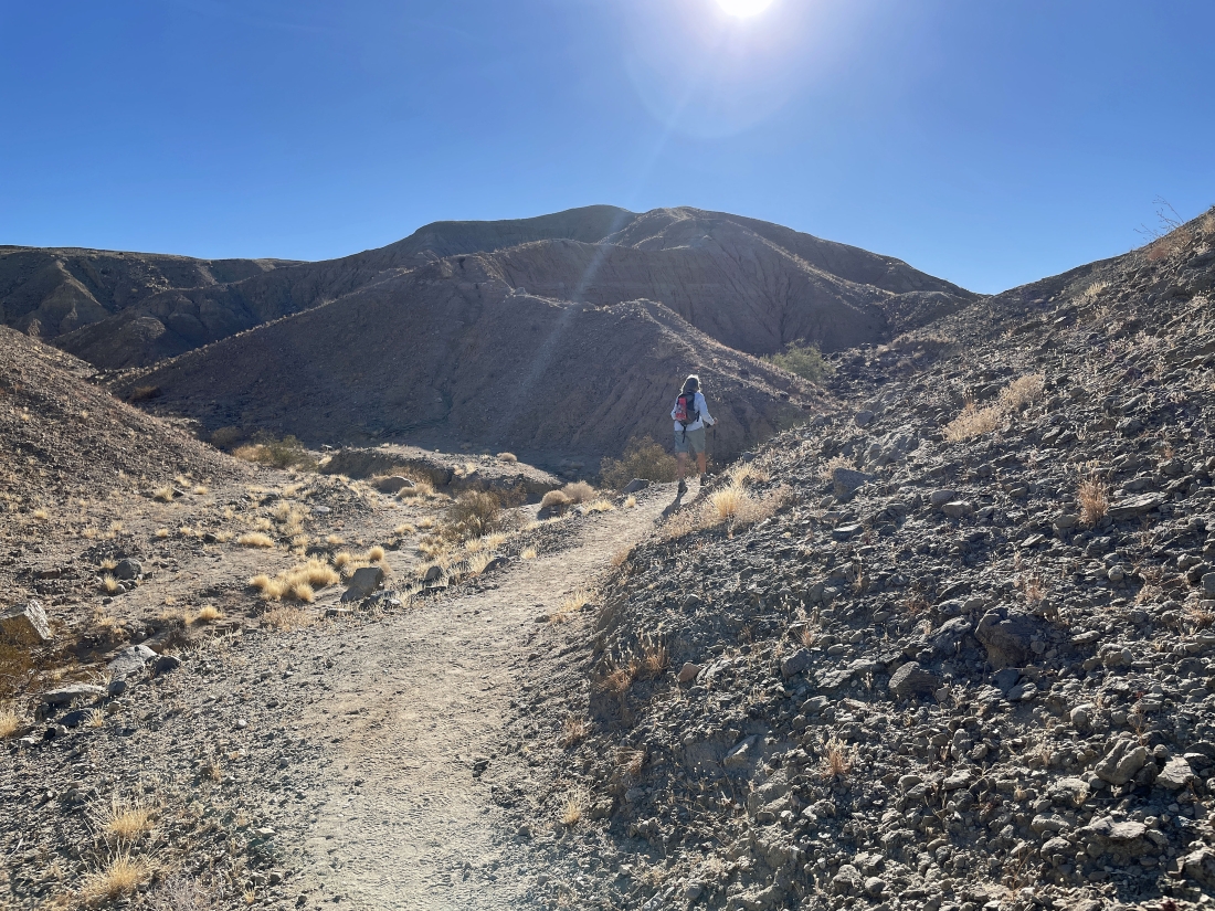
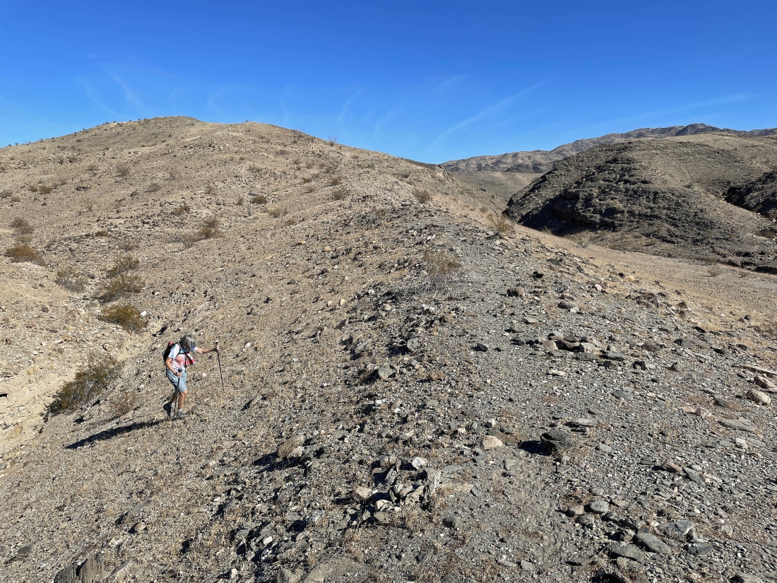
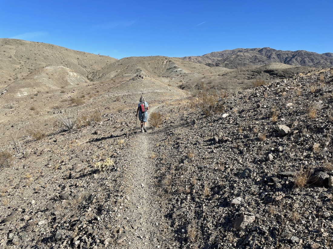
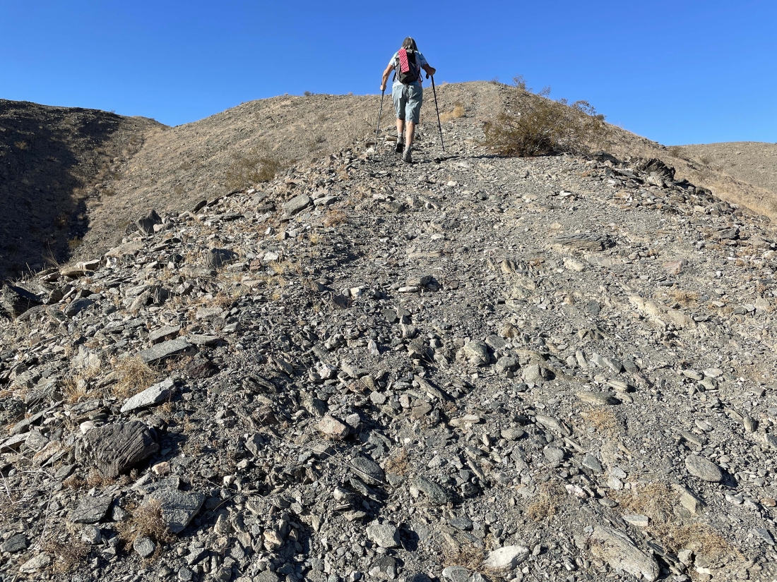
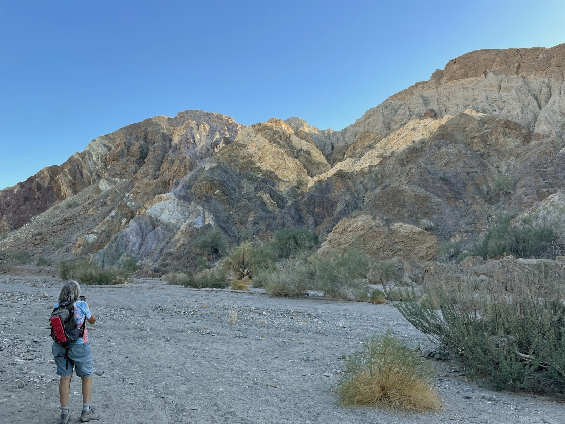
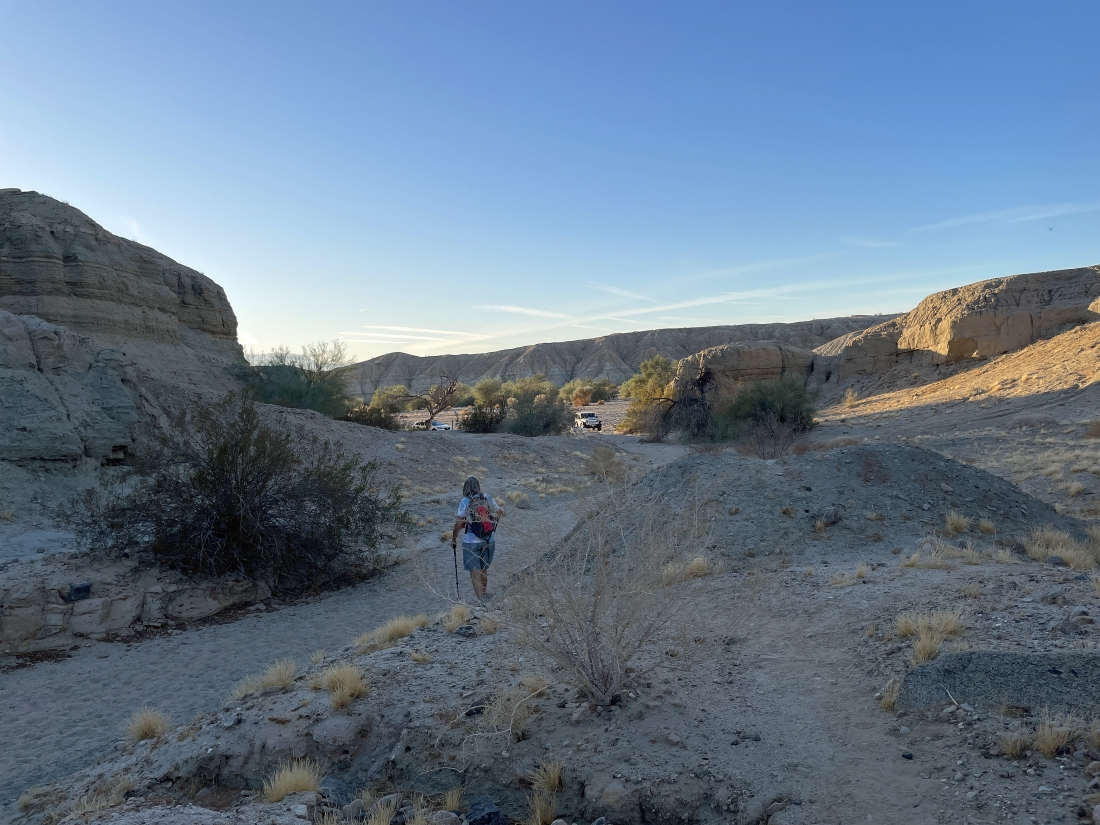
Hiking on the unsigned Hidden Spring Trail... heading for the high point up there.
|
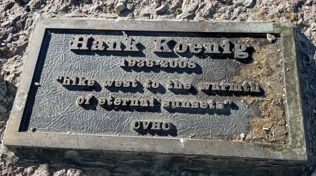
After hiking a third of a mile we have reached the high point in the previous photo and arrived at the 'Hank Koenig Memorial'... he was very involved with the '140 Great Hikes in and near Palm Springs' book.
|
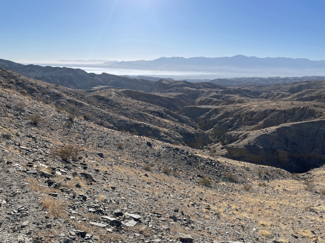
From the Hank Koenig Memorial we are looking beyond the Mecca Hills to the Orocopia Mountains on the left horizon... with the Salton Sea in the middle of the photo... and the Santa Rosa Mountains on the right horizon.
|

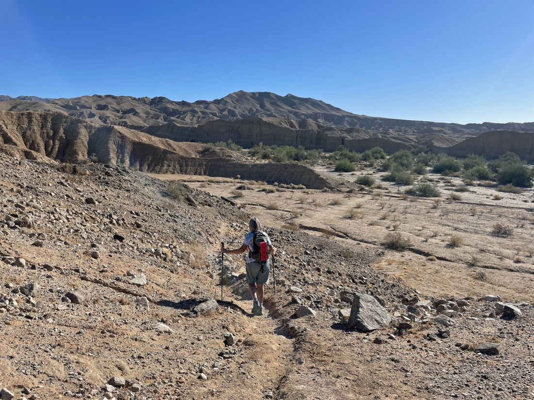
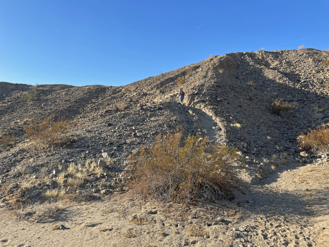
Giving up elevation after leaving the Hank Koenig Memorial... and heading down toward Hidden Spring Canyon. The most obvious canyon in this photo is really kind of a canyon tributary of Hidden Spring Canyon that goes to Sheep Hole Oasis... but we will cross this tributary canyon and head over to the huge Hidden Spring Canyon.
|
|
After hiking a total of one mile we have reached the tributary canyon of Hidden Spring Canyon... here I'm looking back as Denali Girl is hiking over to join me.
|
Taking the shortcut from the tributary canyon over to the huge Hidden Spring Canyon... heading over to the area that has those green Palo Verde trees.
|
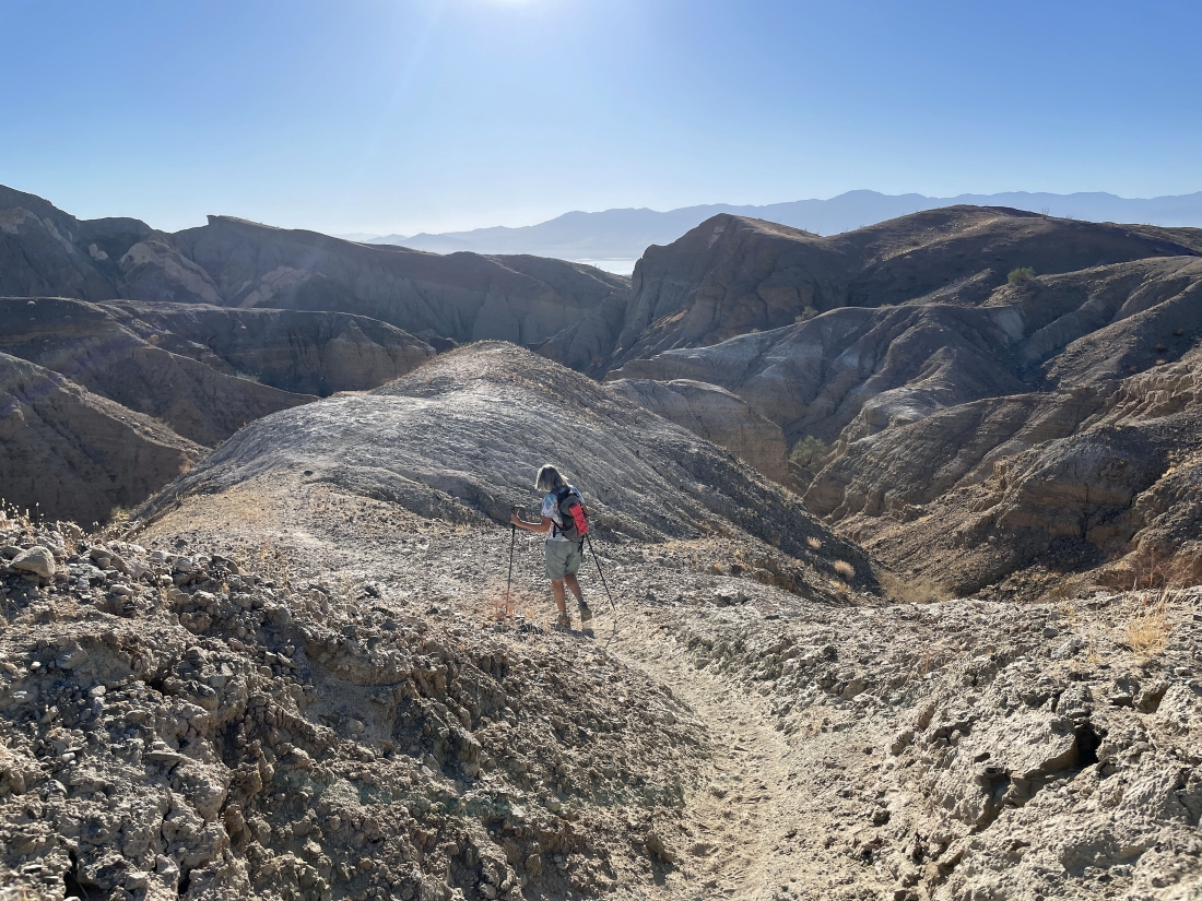
Now hiking NE in Hidden Spring Canyon... working our way over to the narrow opening on the far right.
|
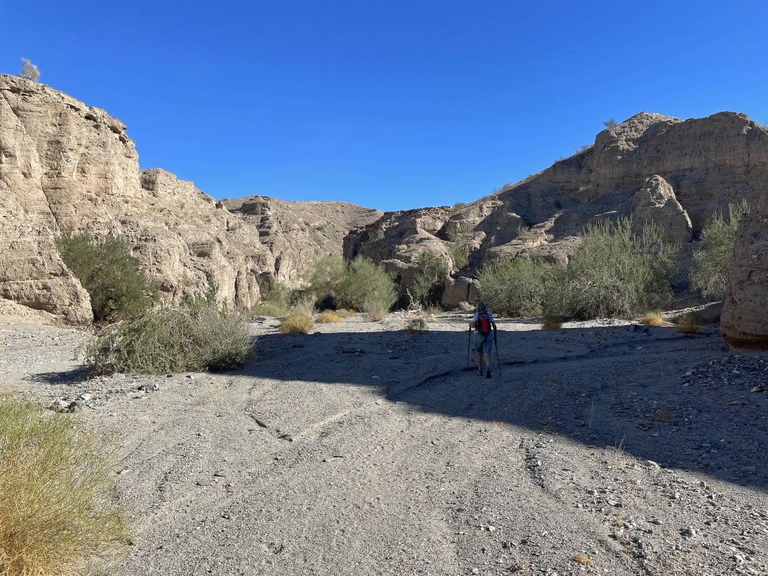
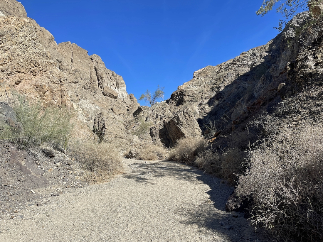
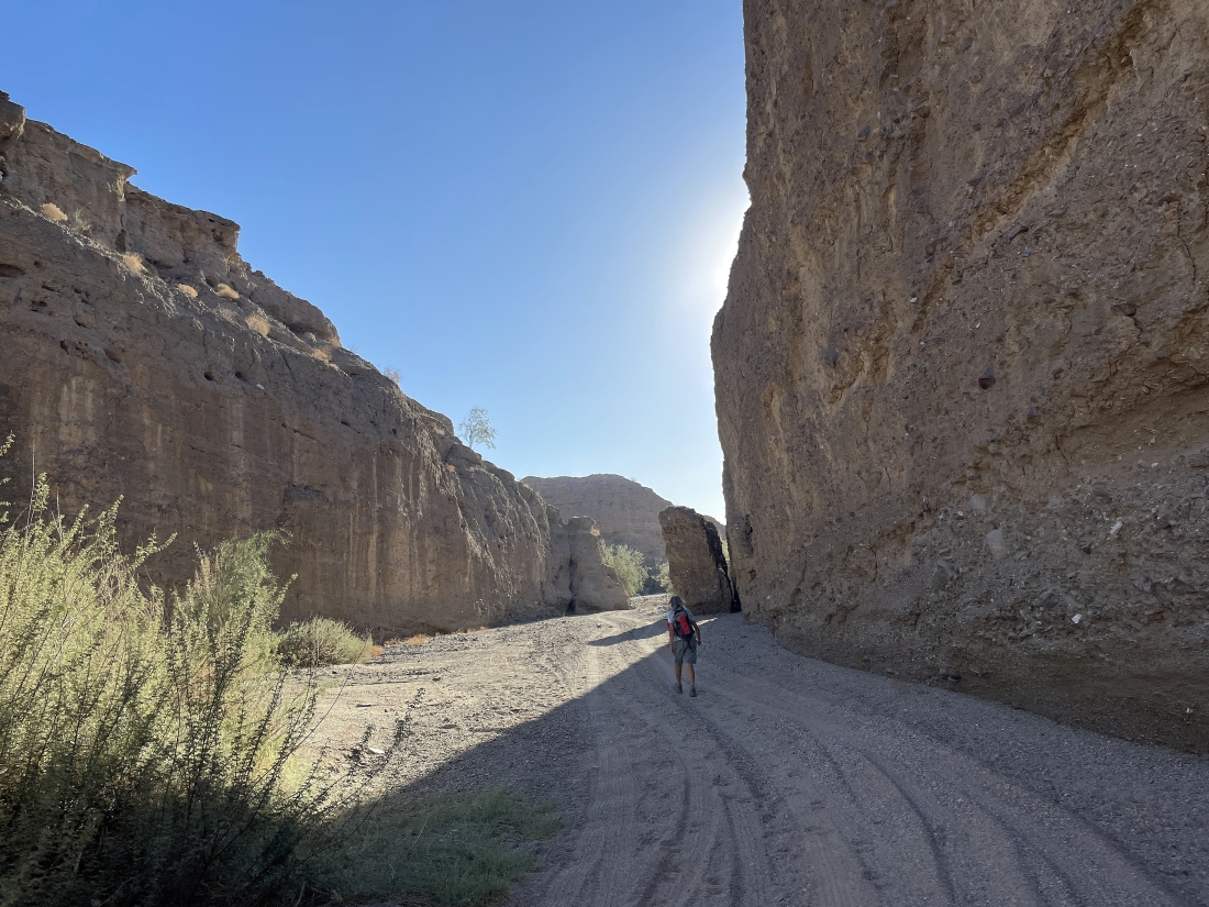
After hiking a total of 1.5 miles, Hidden Spring Canyon begins to narrow.
|
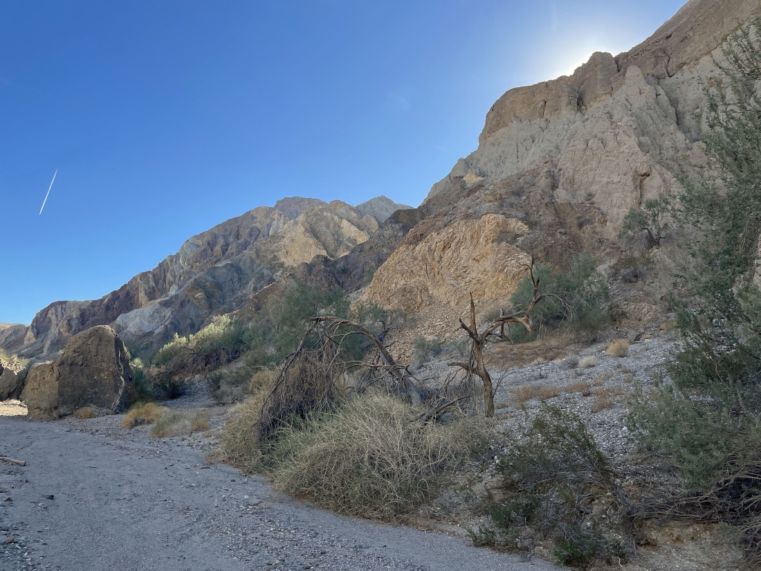
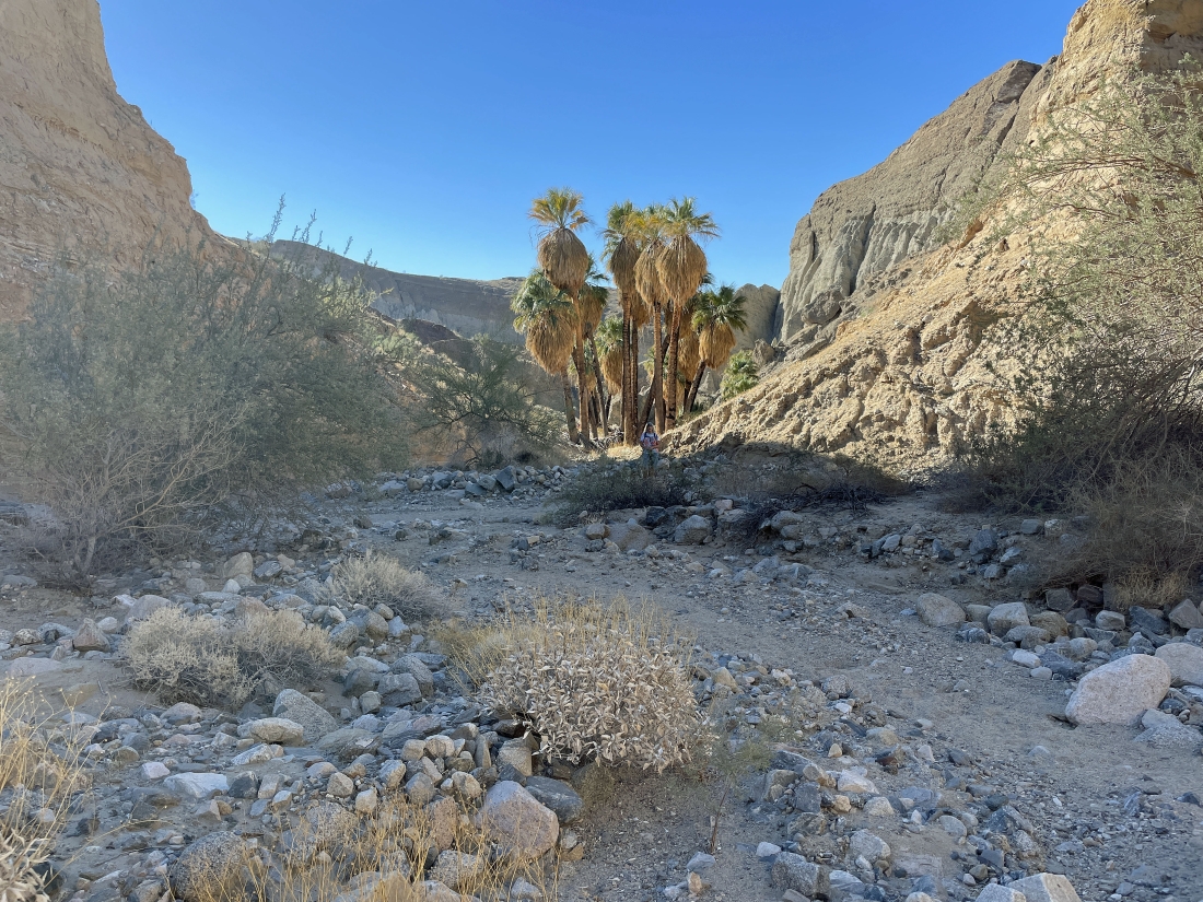
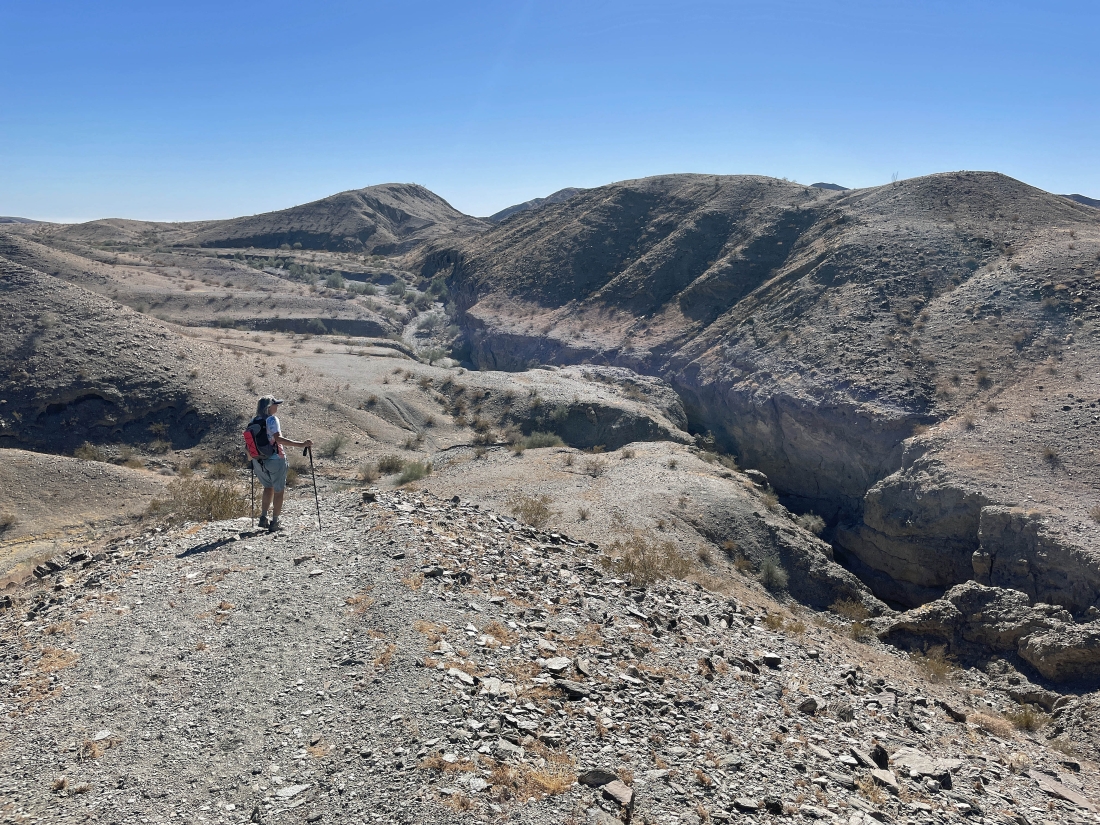
After hiking a total of 2 miles we have reached what the hiking book refers to as 'Rainbow Rocks'. This is where we will leave the main canyon and begin what we thought would be the loop portion of our hike.
|
We have left the main canyon and started taking a canyon tributary... heading for Hidden Spring.
|
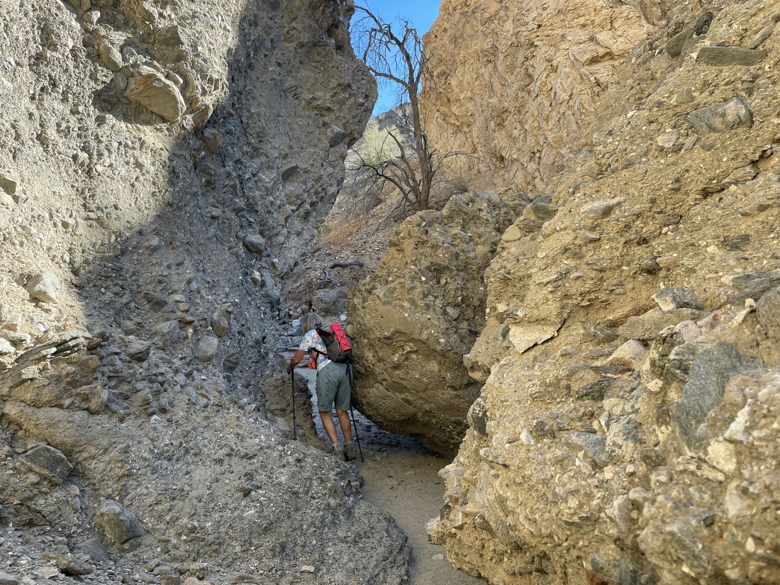
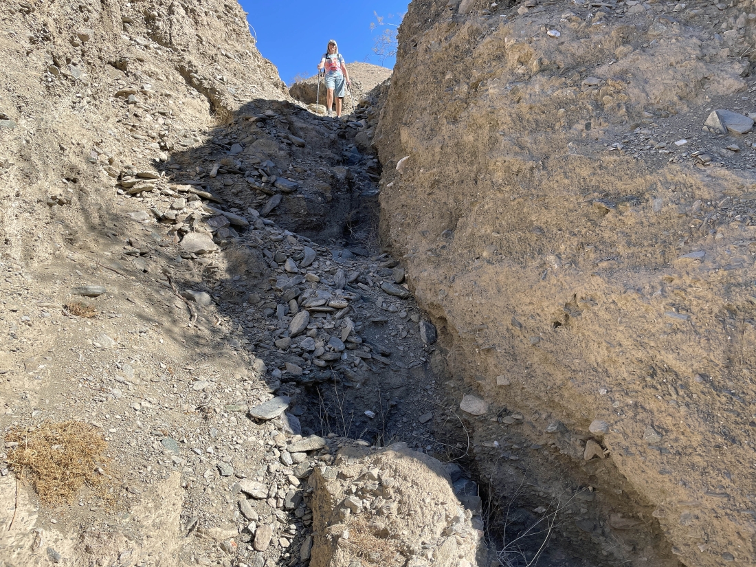
A little narrow here... but not that difficult.
|
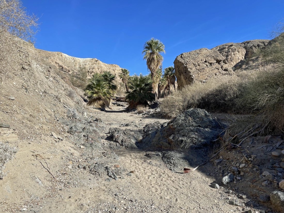
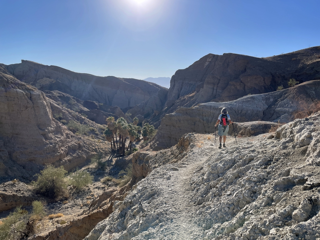
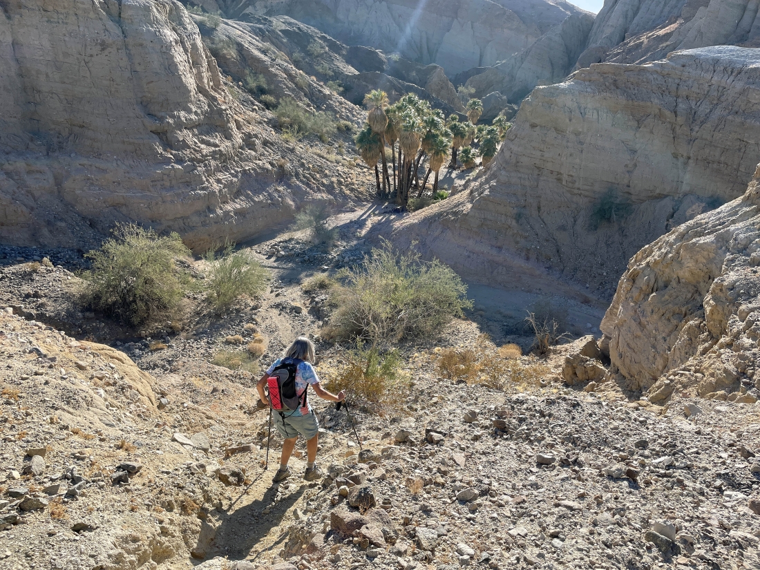
After leaving the main canyon we have hiked less than an eighth of a mile and arrived at Hidden Spring and a dozen palm trees.
|
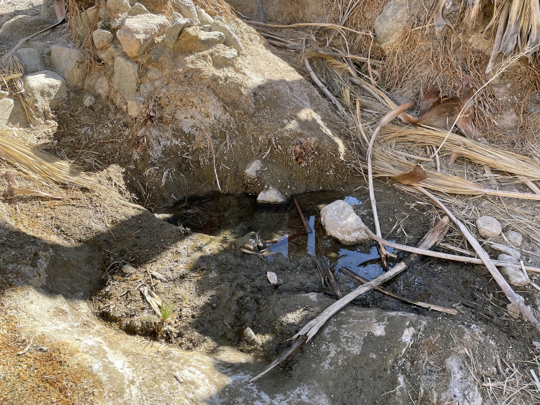
Not much water at Hidden Spring.
|
Looking back at the Hidden Spring area as we continue hiking up the tributary canyon.
|

Continuing to hike up the tributary canyon from Hidden Spring.
|
After hiking a total of 2.5 miles we are hiking up out of the tributary canyon and will continue hiking NE toward the Orocopia Mountains on the right horizon.
|
Out of the canyon and on a plateau... looking back at the Salton Sea and the Santa Rosa Mountains.
|
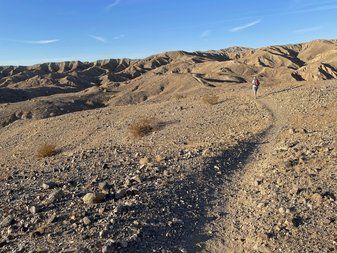
Continuing to hike NE on the plateau... with the Orocopia Mountains on the right horizon.
|
Now hiking east and getting ready to drop down into Hidden Spring Canyon and enter 'The Grotto'.
|
Dropping into Hidden Spring Canyon.
|
Dropping into Hidden Spring Canyon.
|
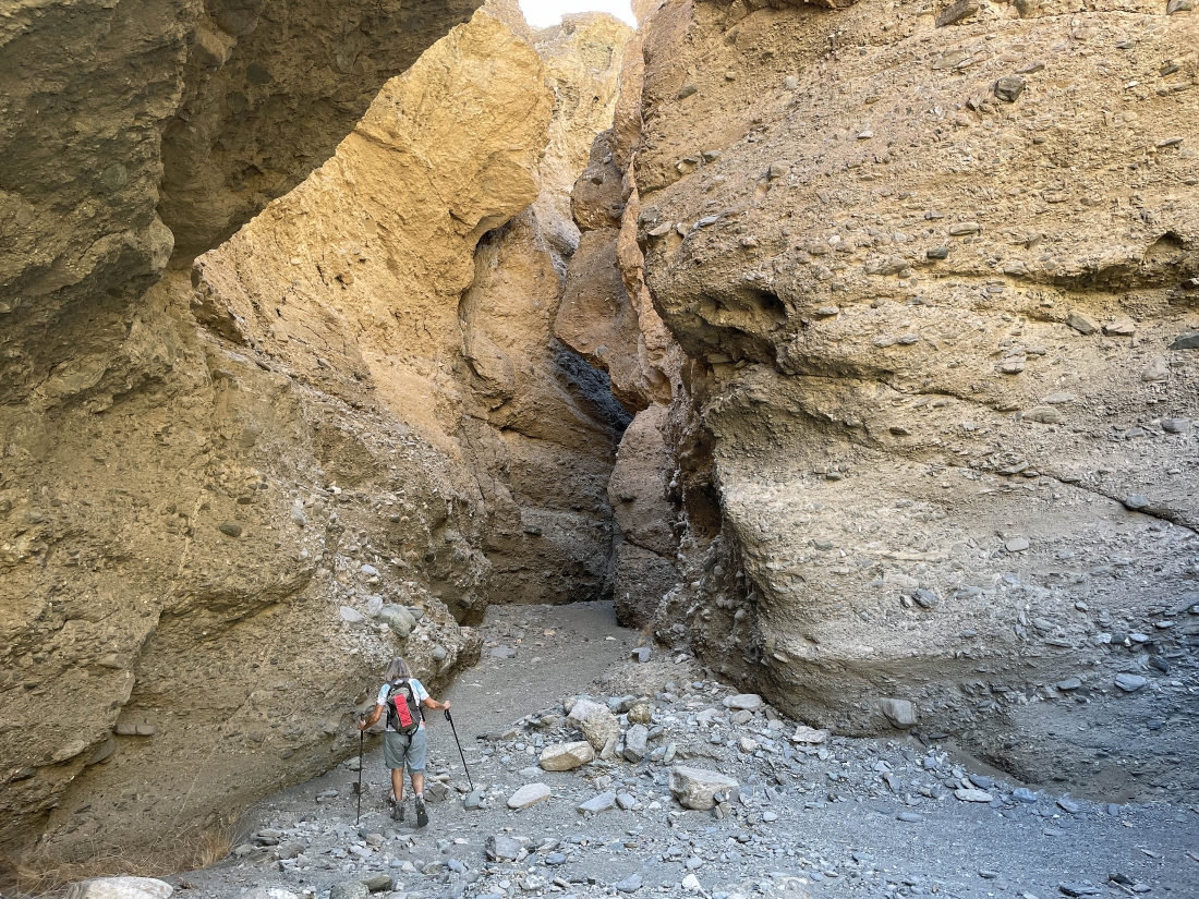
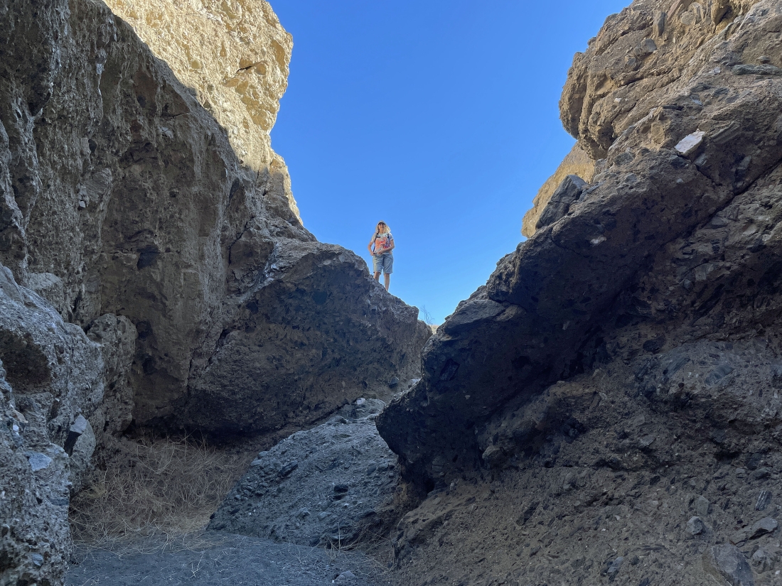
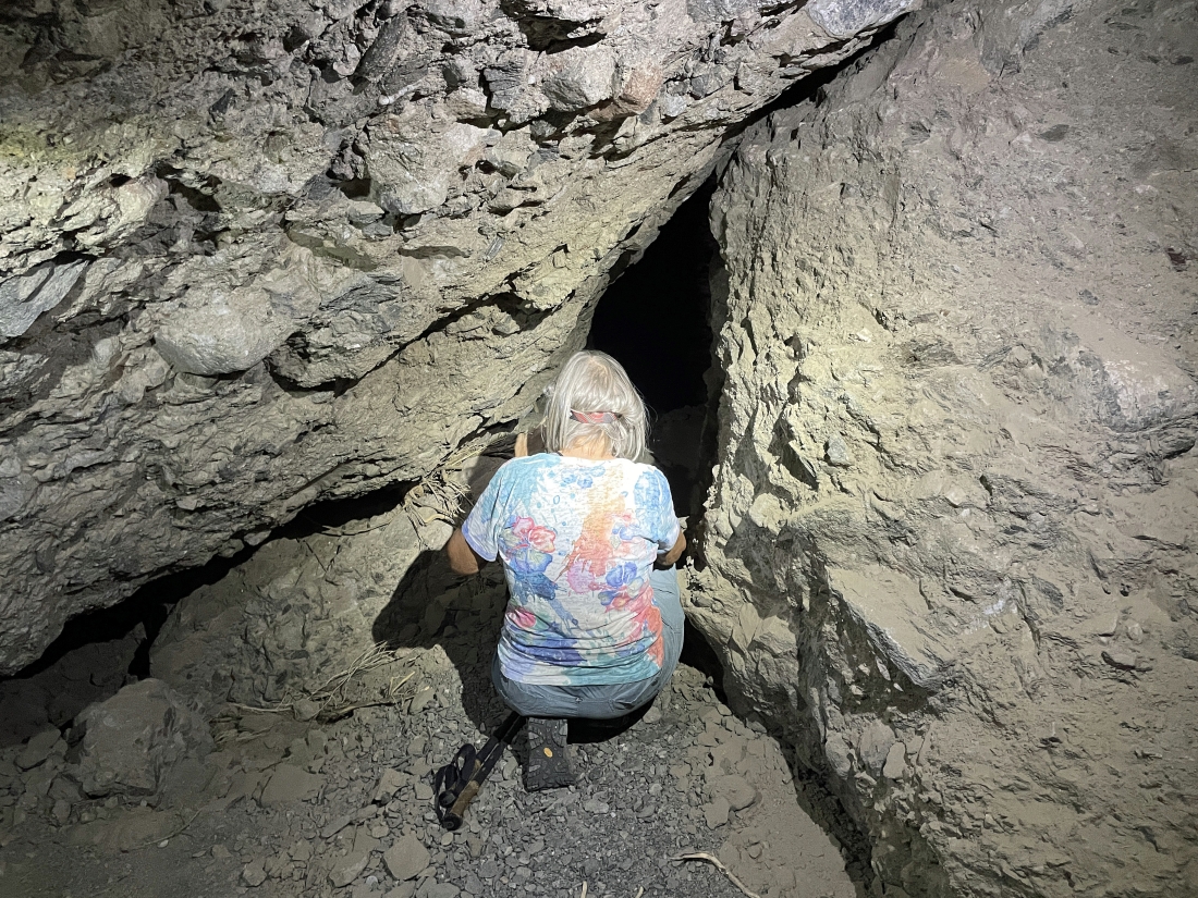
The canyon is beginning to narrow... and we are getting ready to enter 'The Grotto'.
|
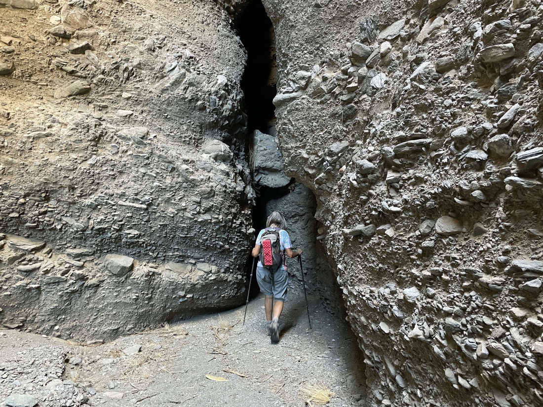
We are wearing our headlamps... and getting ready for the darkness in 'The Grotto'.
|
Scrambling around in 'The Grotto'.
|
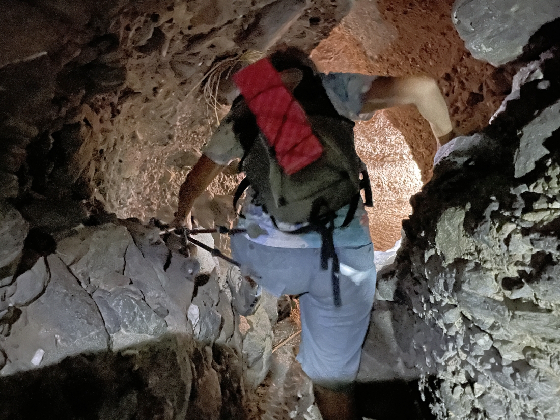
Scrambling around in 'The Grotto'.
|
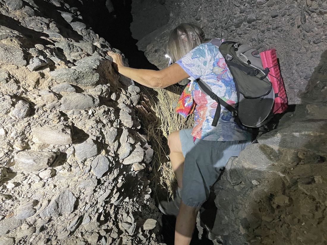
Scrambling around in 'The Grotto'... making ourselves as small as possible here.
|
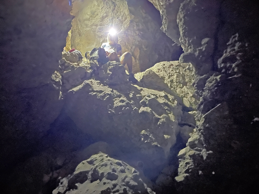
Scrambling around in 'The Grotto'.
|
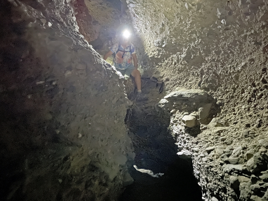
Scrambling around in 'The Grotto'.
|

Exiting 'The Grotto' after not being able to continue in it... so we will be more or less tracing our steps back... and today there will not be a loop portion of our hike.
|

Coming back up out of Hidden Spring Canyon.
|
Out of Hidden Spring Canyon and heading up to the plateau area.
|
Back up on the plateau... looking at the Salton Sea and Santa Rosa Mountains on the horizon... now hiking SW... and we plan to stay on the plateau as long as possible instead of dropping back down into the tributary canyon that we used on the way up.
|
Still hiking SW on the plateau as we give up a little elevation.
|
We can see the palm trees at Hidden Spring... but we need to find a way to get back down there.
|
We have found a path that will take us back down to Hidden Spring.
|
We have come out of the tributary canyon and returned to Hidden Spring Canyon and the 'Rainbow Rocks'... this is where we had hoped to close the loop portion of our hike... but we could not find a way through 'The Grotto'... so there would be no loop portion of our hike today.
|
Tracing our steps back down Hidden Spring Canyon.
|

Tracing our steps back down Hidden Spring Canyon... with the Santa Rosa Mountains on the horizon.
|
Leaving the Hidden Spring Canyon and heading over to the tributary canyon that leads up to the Sheep Hole Oasis.
|

Leaving the tributary canyon that leads to Sheep Hole Oasis... and getting ready to gain some elevation back up to the 'Hank Koenig Memorial'.
|
Continuing to hike up to the 'Hank Koenig Memorial'.
|

Almost back up to the 'Hank Koenig Memorial'.
|
We have returned to the 'Hank Koenig Memorial'... and the clarity of the Salton Sea is much better than it was several hours earlier... we will be back at our car in a third of a mile.
|
Just a stone's throw away from our car... the total hike was 7.6 miles, gaining 1,528 feet of elevation.
|
