Eagle Cliff Mine and Elton Mine - 1.24.2025
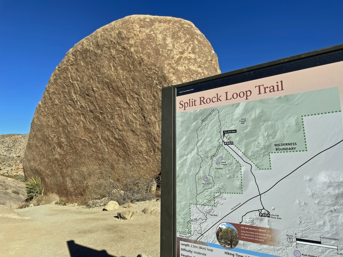
We parked in the Split Rock parking lot in Joshua Tree National Park and started hiking north (counter clockwise) on the Split Rock Loop Trail... that is 'Split Rock' over there on the left... the split is not visible on this side.
|
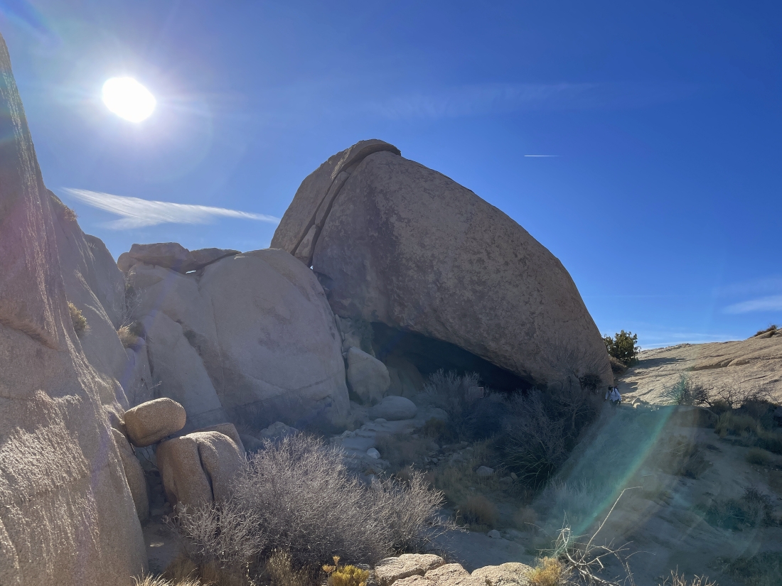
We hiked about 40 feet and this is the back side of Split Rock.
|
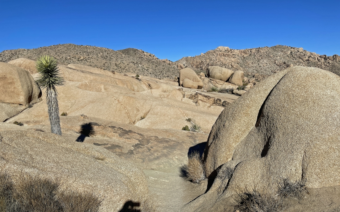
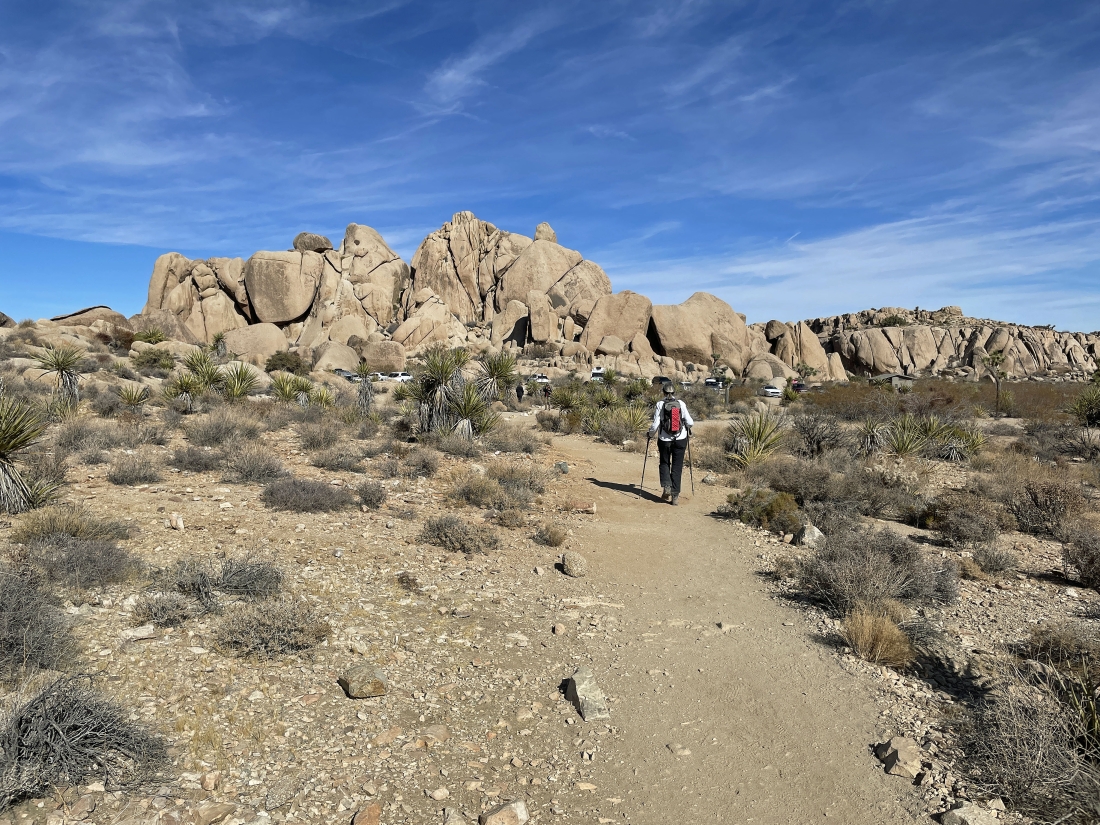
Hiking north on the Split Rock Loop Trail... heading for the 'V' on the horizon in the middle of the photo.
|
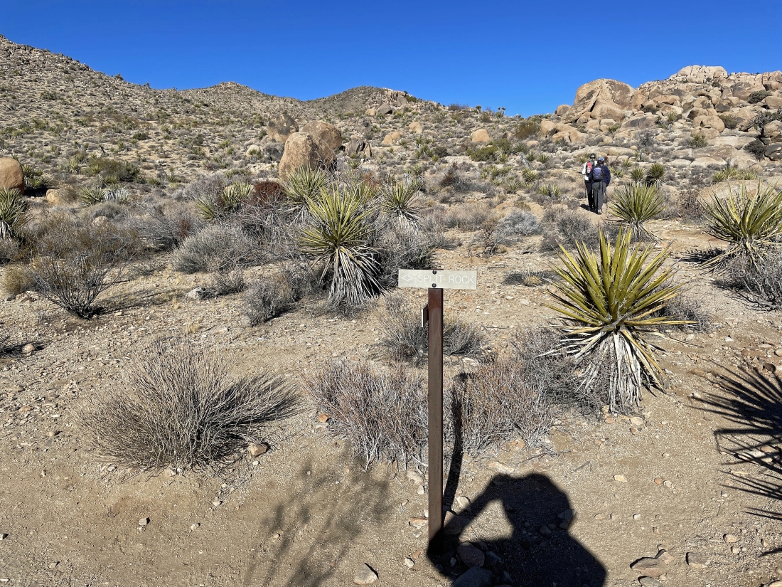
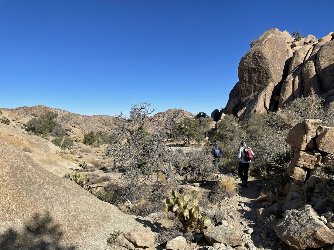
After hiking a third of a mile on the Split Rock Loop Trail... we have left the trail and begun hiking on an unnamed, but obvious trail.
|
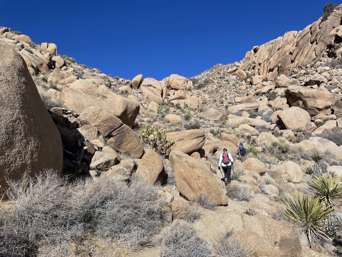
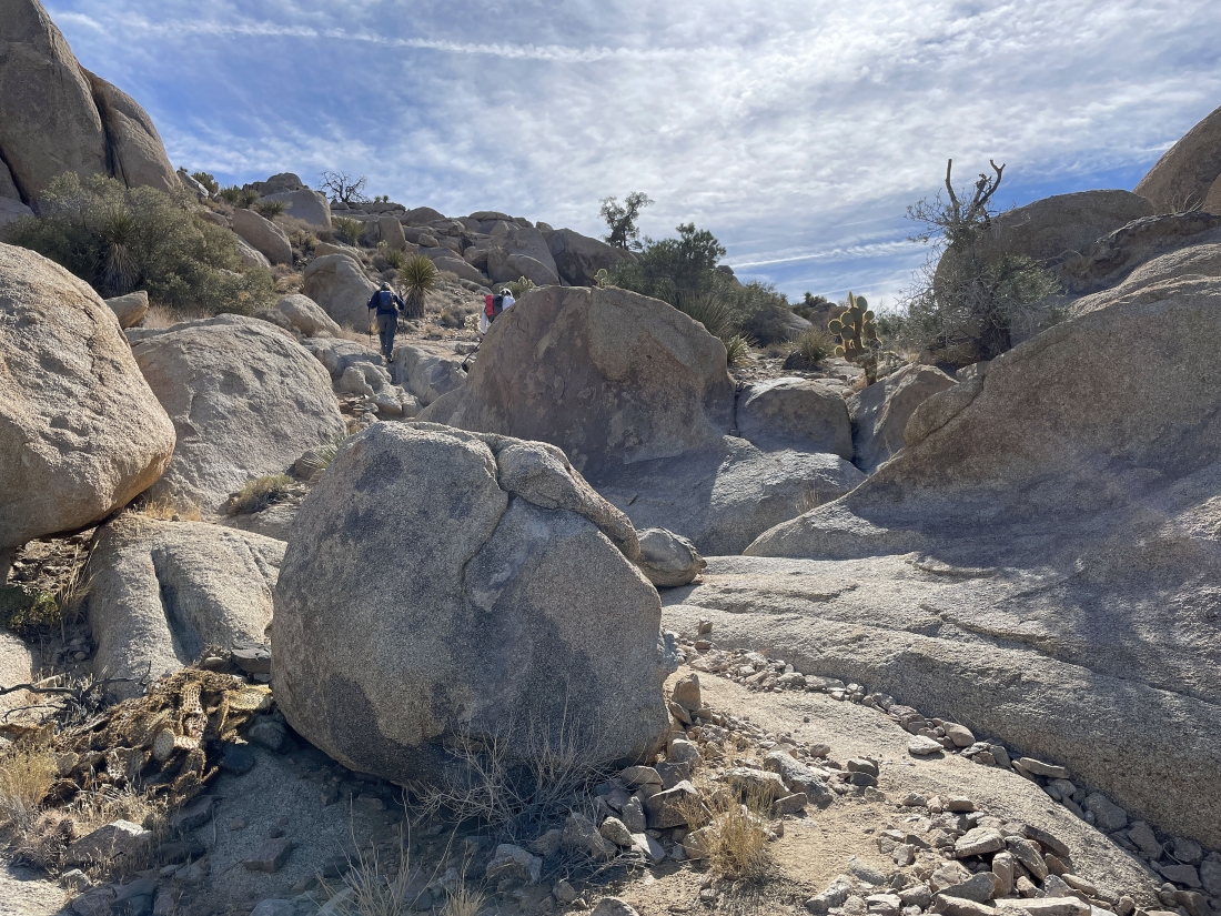
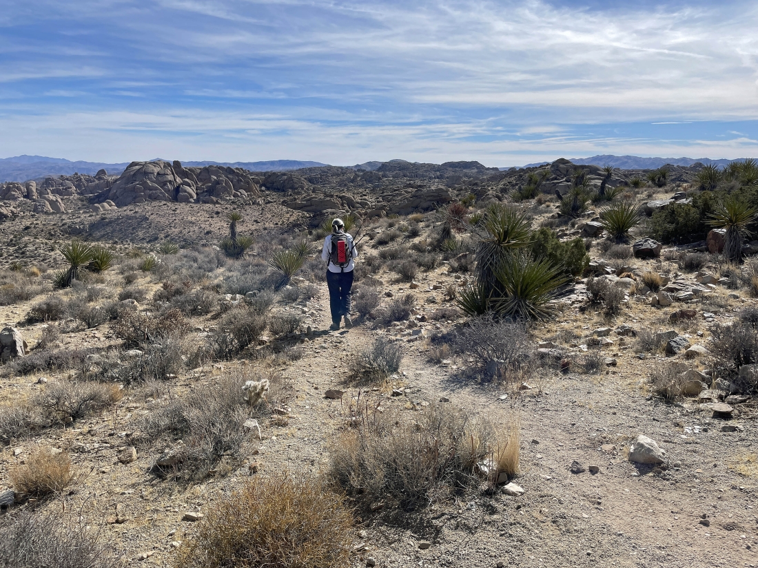
Heading north up the unnamed trail... the terrain is beginning to get steeper.
|
|
On very steep terrain now... looking back at where we parked in the center of the photo... interesting sky!
|
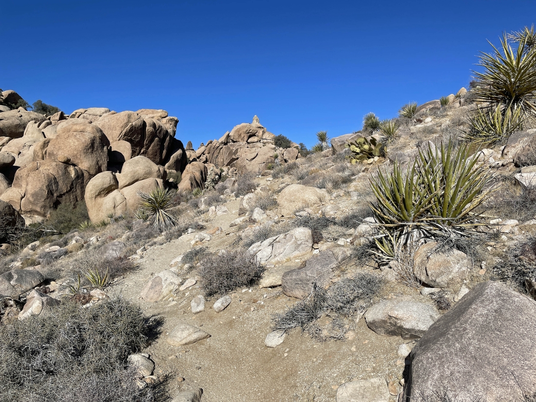
Done with the really steep stuff... but still hiking north and gaining elevation... the pointed rock on the horizon in the middle of the photo is visible from the parking lot.
|
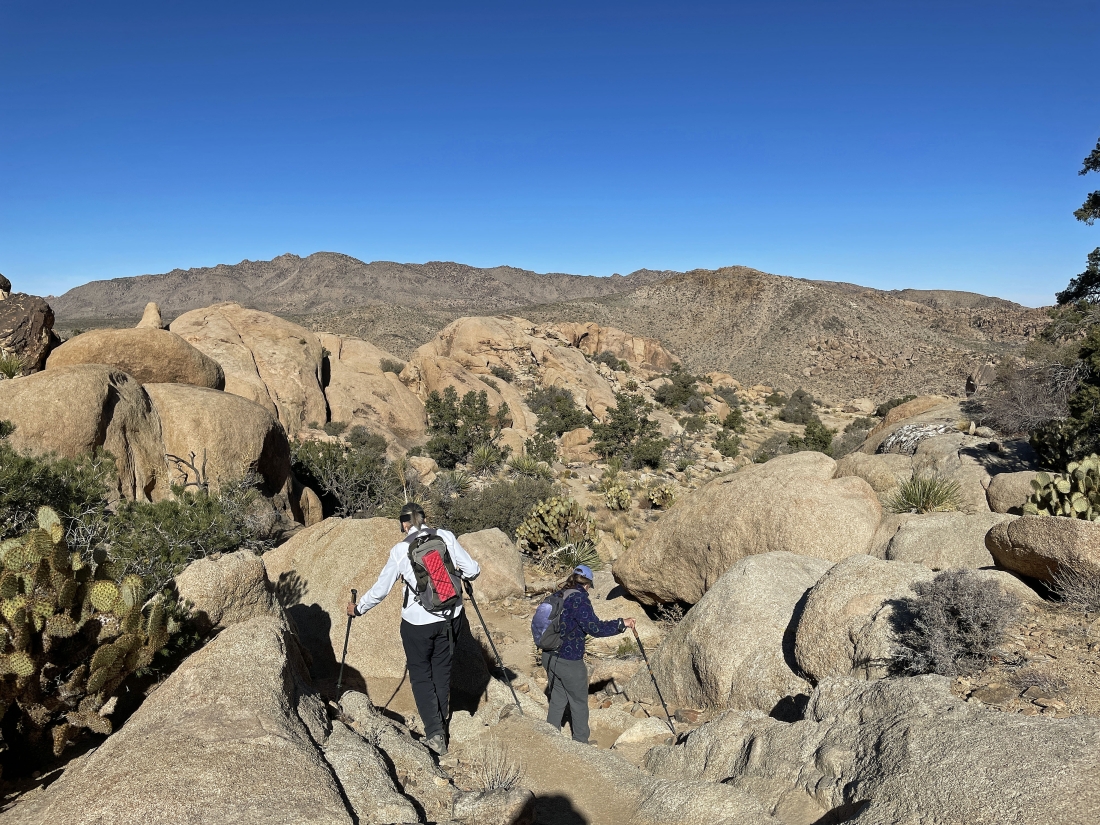
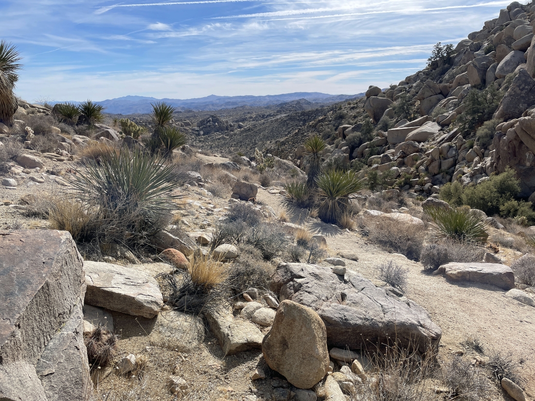
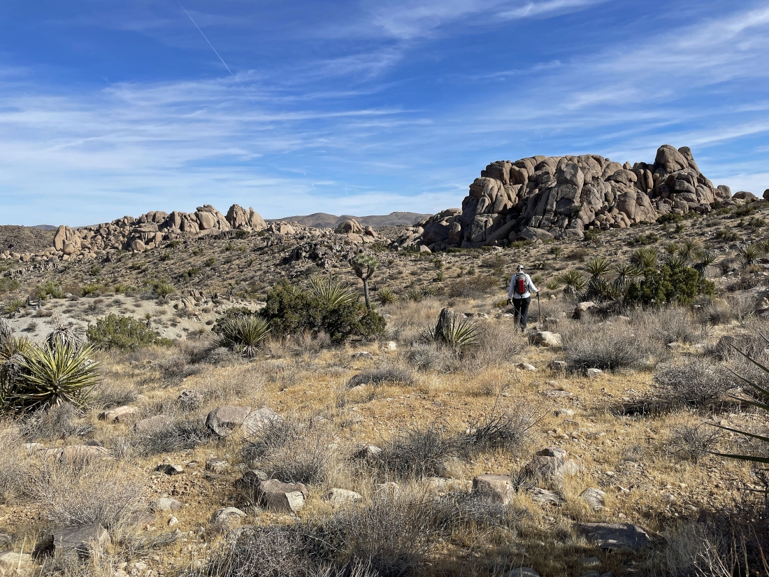
Continuing to gain elevation on the unnamed trail.
|
After hiking one mile we have reached our high point for the day at 4,630 feet... and now we will head down to the Eagle Cliff Mine.
|
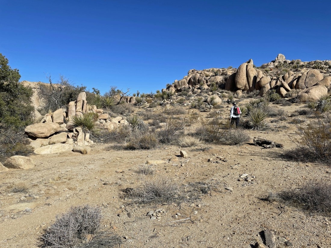
We have reached a very large flat area... you can see the pile of light colored gray tailings that came out of the Eagle Cliff Mine.
|
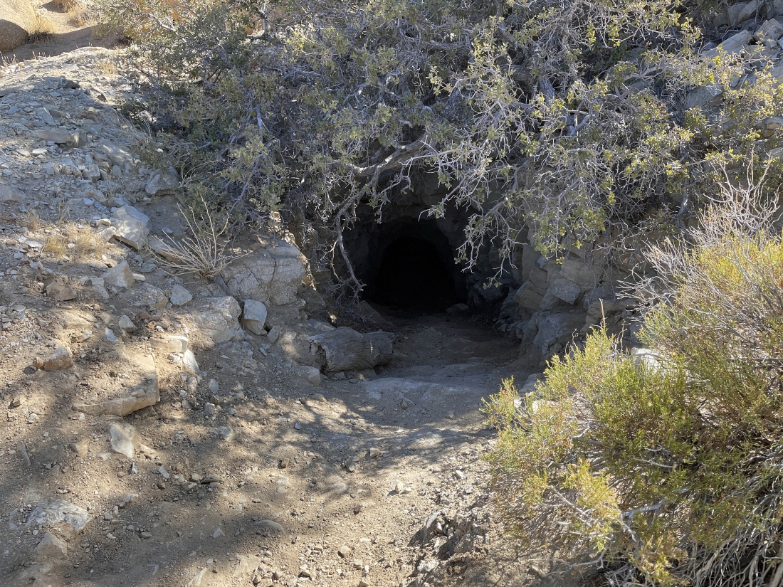
The Eagle Cliff Mine... let's get a little closer.
|
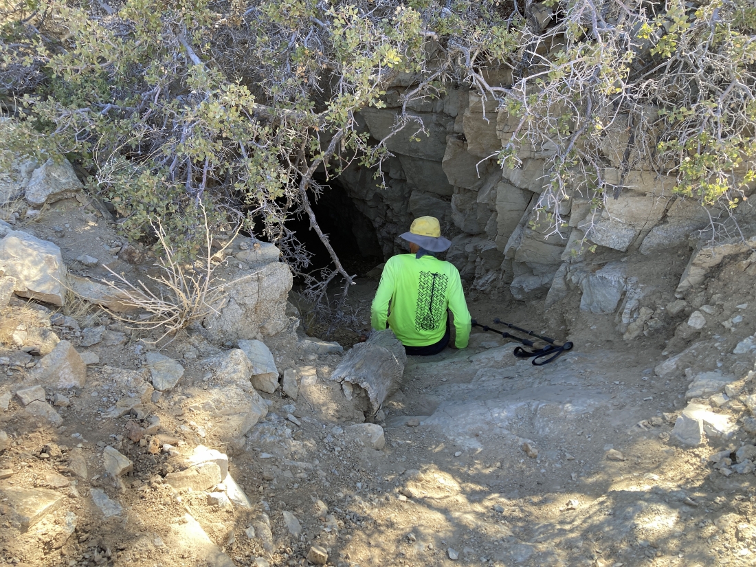
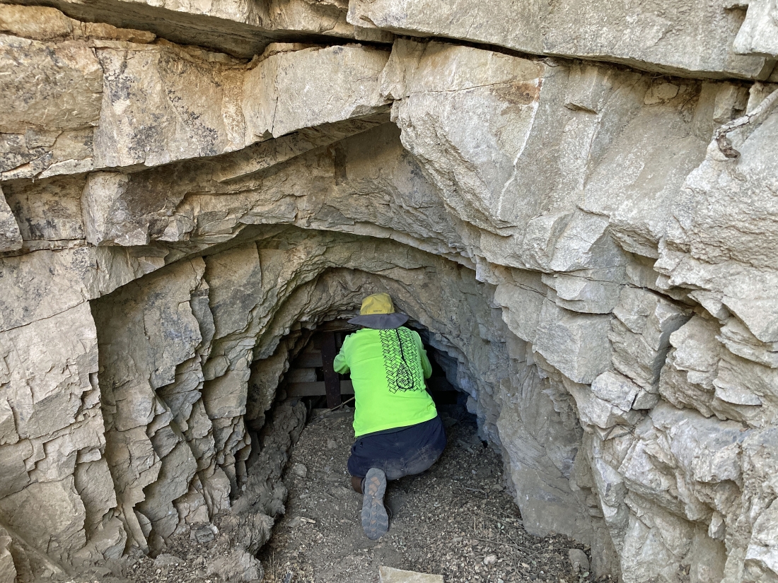
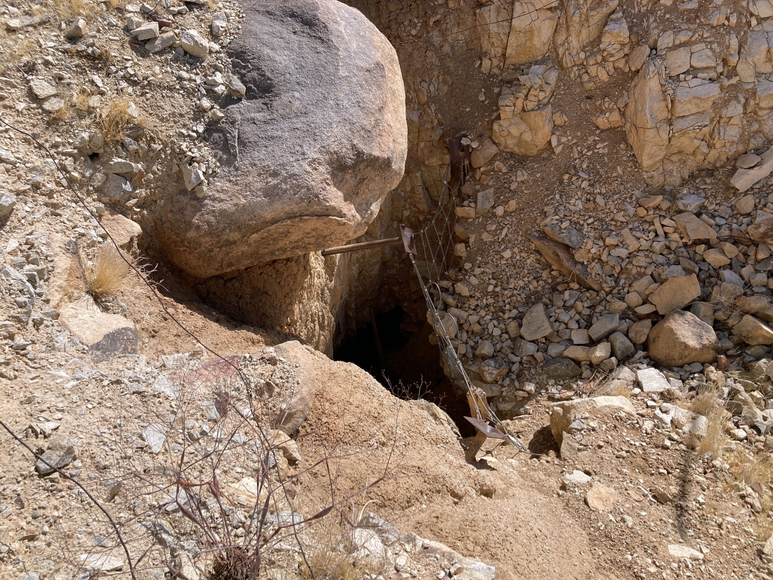
Denali Girl took this photo of me on my butt at the mine shaft entrance... I'm going to scoot down about 12 feet to a windowed grating and see if I can see anything beyond it.
|
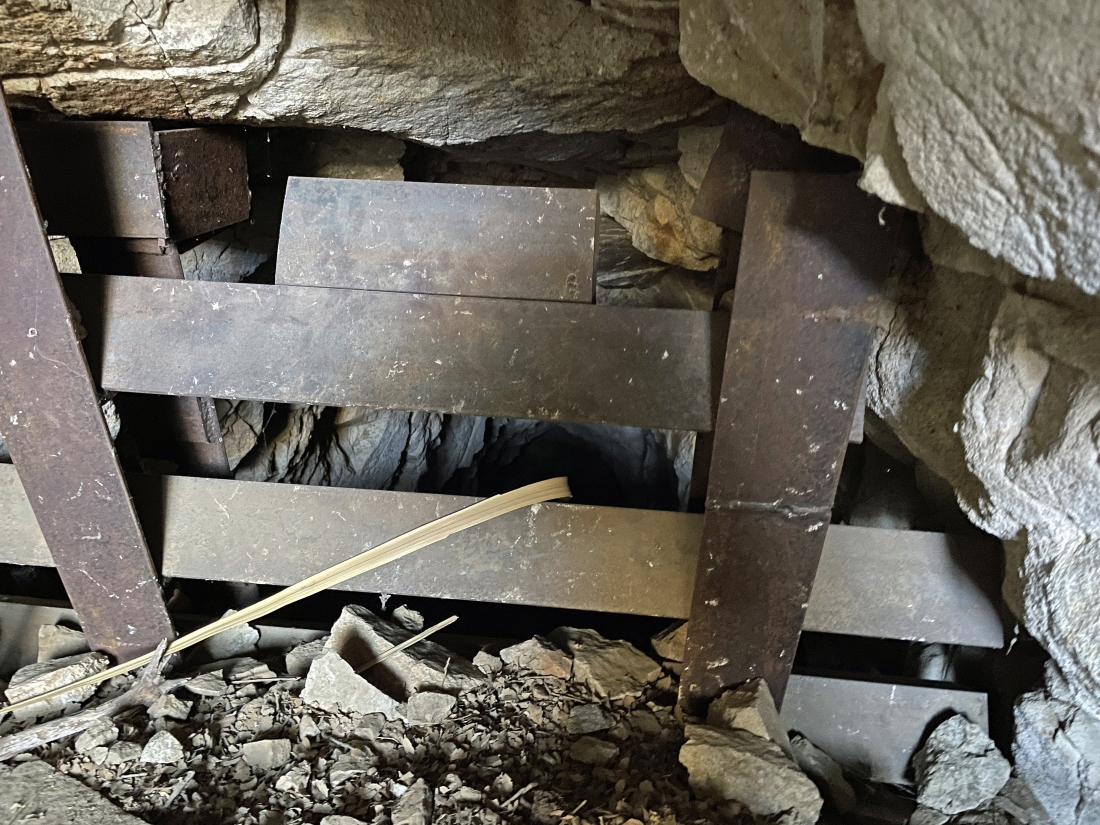
The grating was 12 feet below the entrance to the mine shaft.
|
Denali Girl took this photo of me at the grating... looking through the grate to take the photo.
|
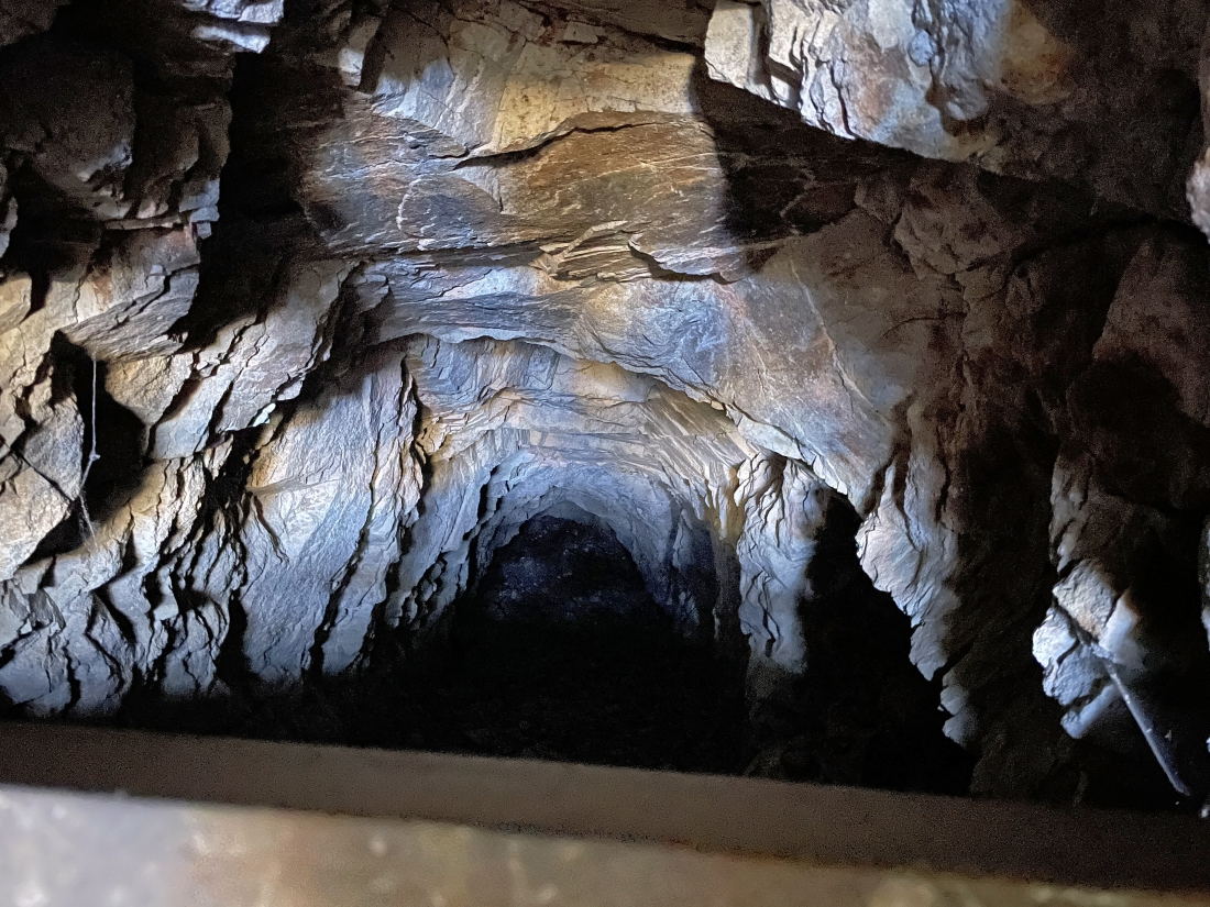
Looking down through the grating... looks like it goes down at least another 25 feet.
|
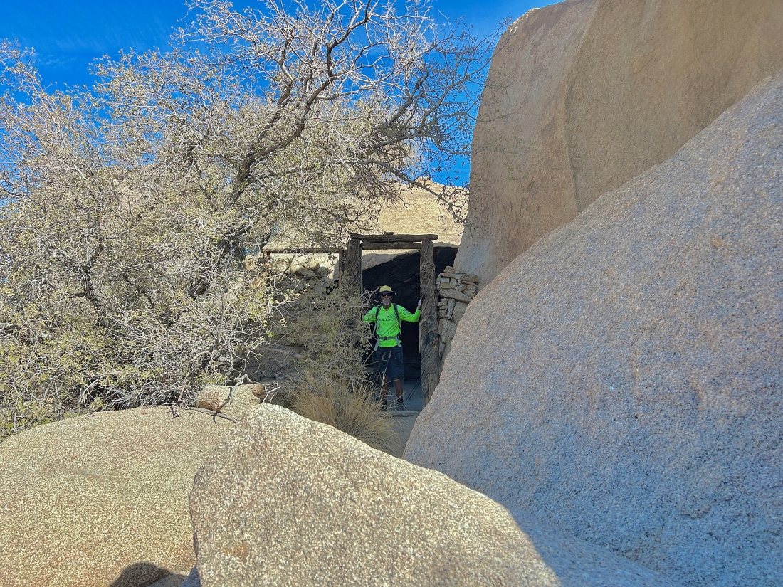
Standing in the doorway of the Frank L. James little home that was pretty much in the rocks... he named the Eagle Cliff Mine in the 1890s.
|
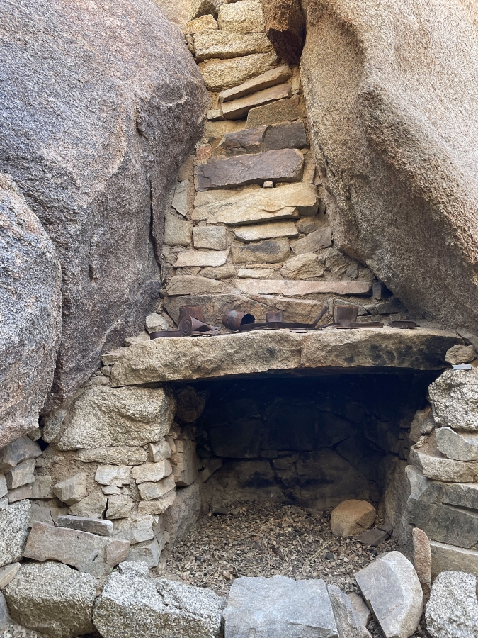
A fireplace in the James home.
|
Inside the James home.
|
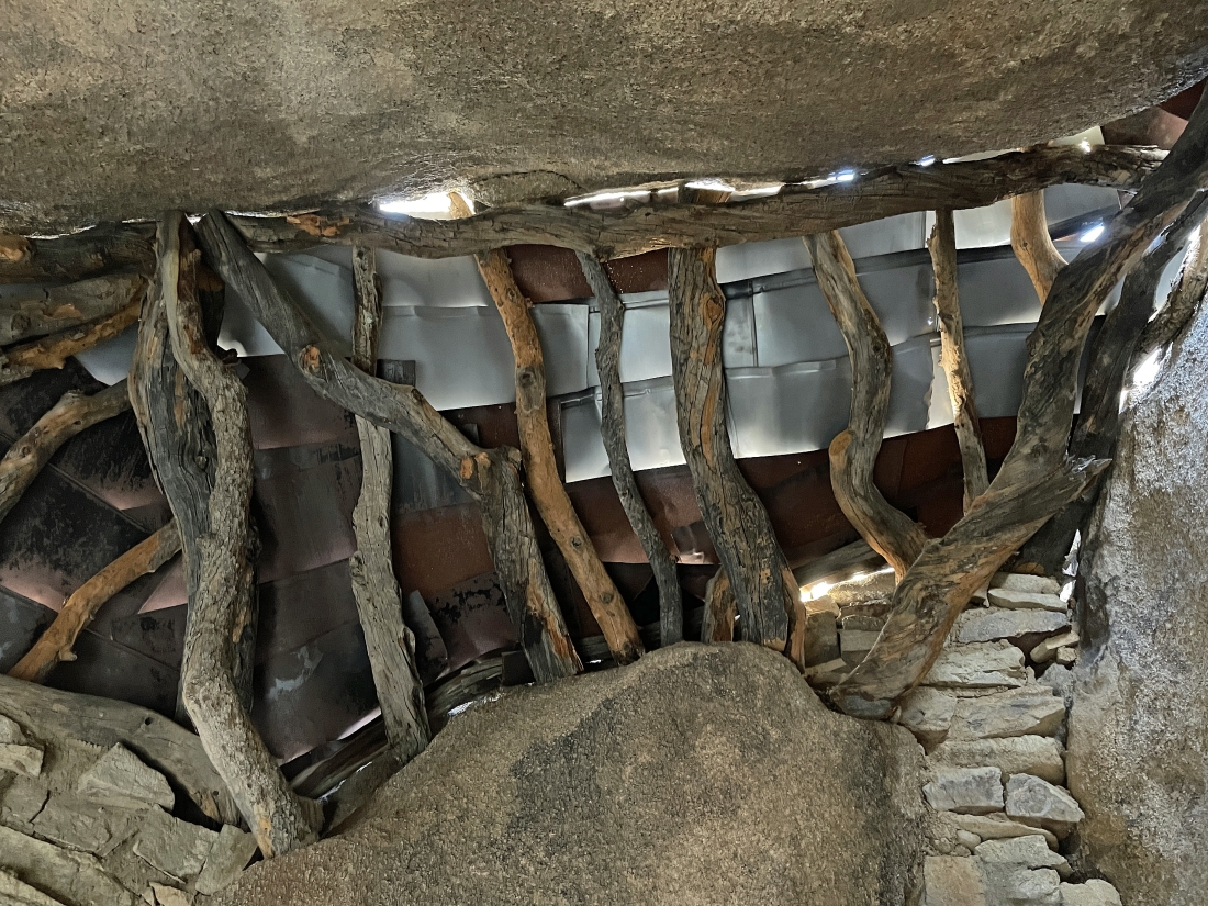
Looking up at part of the roof in the James home.
|

The front yard of the James home.
|
|
The balcony view of the James home... looking across at least one valley to Queen Mountain on the left-center horizon.
|
Leaving the Eagle Cliff Mine and tracing our steps back to the car.
|
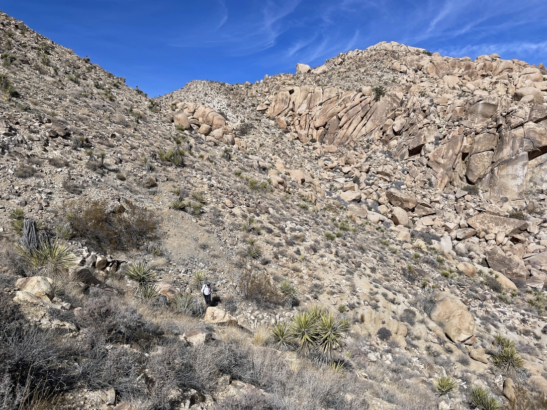
Getting ready to head down that steep terrain that we dealt with earlier.
|
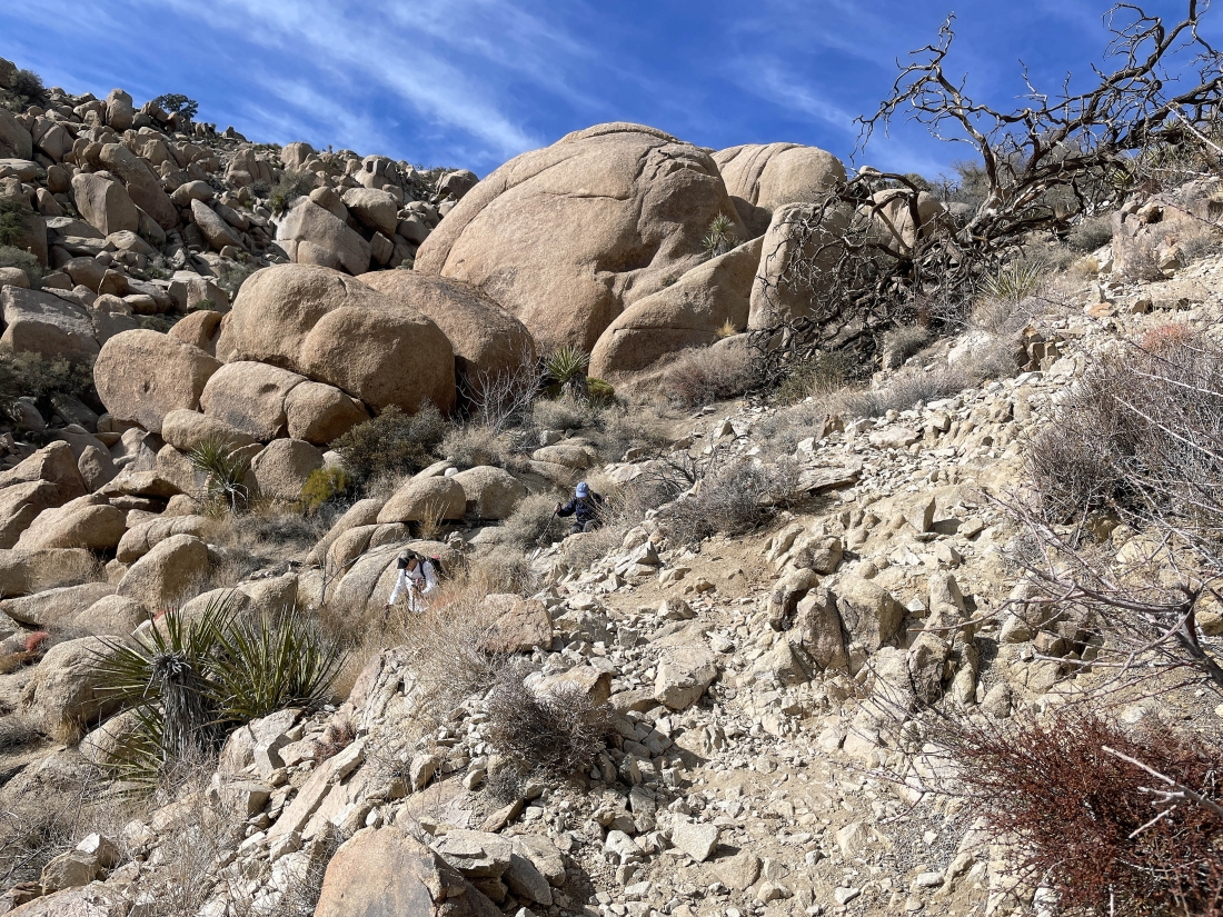
Working our way down that steep terrain.
|
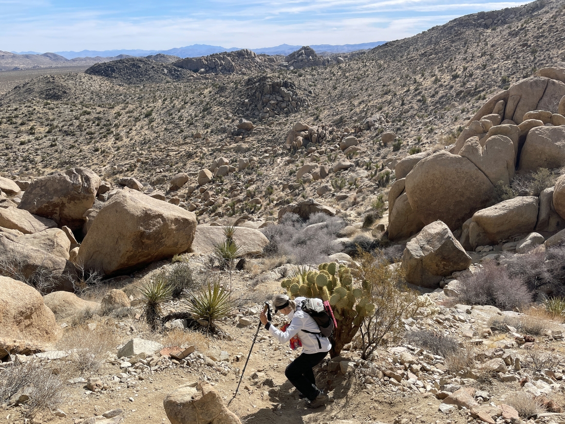
Denali Girl dodges a cactus on her way down the steep terrain.
|

Near the bottom of the really steep terrain Denali Girl and I decided to leave the unnamed trail and head cross country to the SW... in search of the Elton Mine.
|
Looking back and watching Denali Girl work the cross country terrain as she comes over to join me.
|
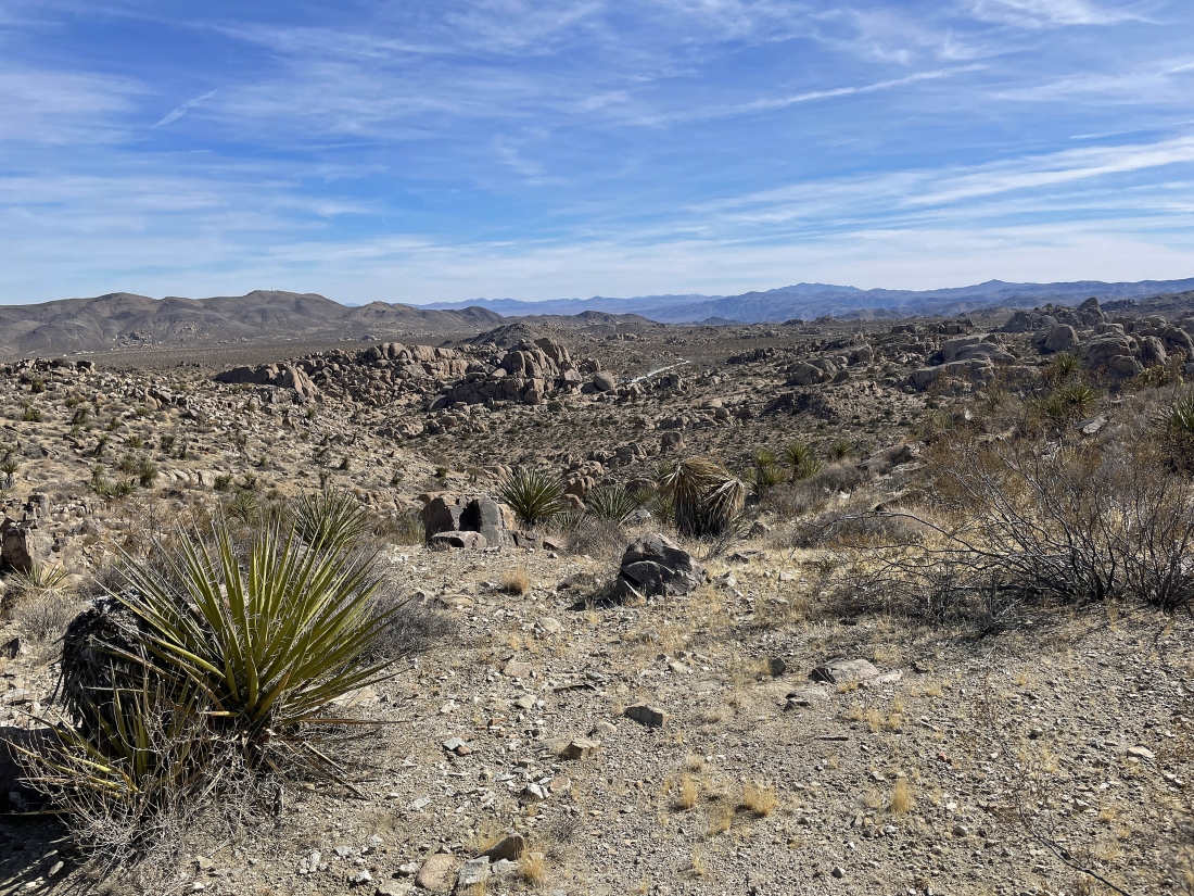
In the distance we can see the road that took us to the Split Rock parking lot... and we will be heading cross-country in that direction after we check out the Elton Mine.
|
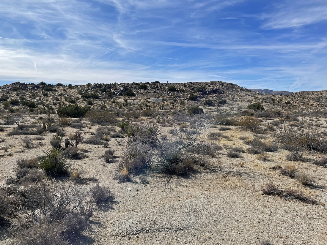
Very subtle but we can see several piles of mine shaft tailings of the Elton Mine over there in the middle of the photo... founded by Thomas Munro and John Robinson in 1922.
|
Trying to see down one of the mine shafts at the Elton Mine... there were at least a total of 5 more shafts... but at least 3 of them were totally covered up.
|
Leaving the Elton Mine on a very short side trail that comes over to the mine from the Lucky Boy Vista Loop Trail.
|
Heading cross-country to the east... searching for our car.
|
Heading cross-country to the east... searching for our car.
|
Very close to our car now... looking up at the hole in the rocks in the middle of the photo... known as the 'Cling or Fling Corridor'.
|
We are a stone's throw from our car... the total hike was 3.5 miles, gaining 813 feet of elevation.
|
