Queen Mountain - 1.30.2025
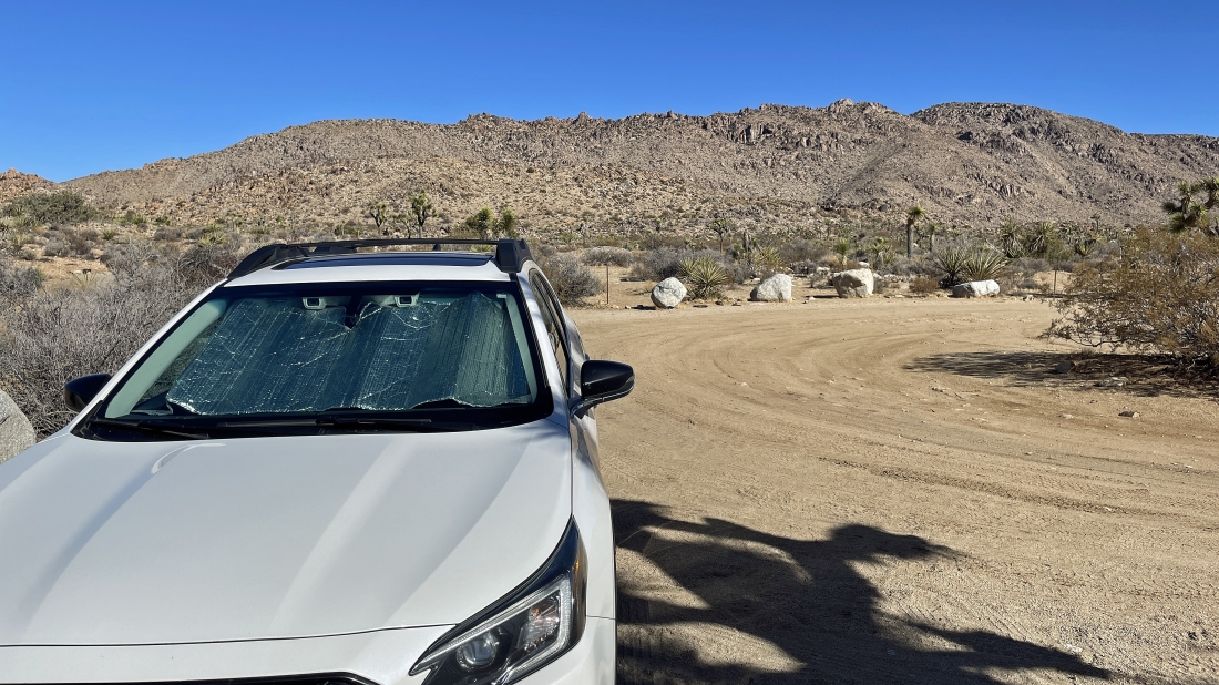
We parked at the end of O'Dell Road in Joshua Tree National Park. O'Dell Road is a dirt road that can be accessed via the paved Park Blvd or the Queen Valley Road which is also a dirt road. The Queen Mountain summit is up there in the right-center horizon.
|

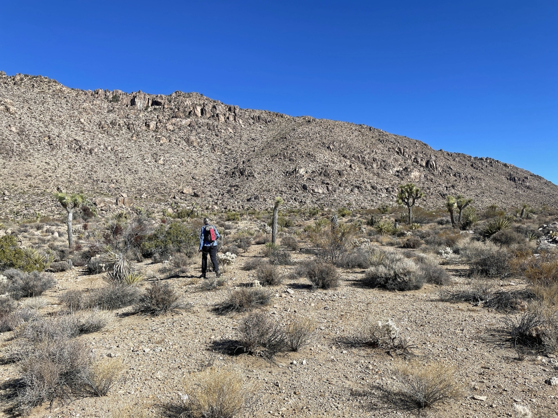
Heading cross-country for the steep ramp that will help get us up to the summit.
|
Nearing the ramp that will help get us up to the summit of Queen Mountain.
|
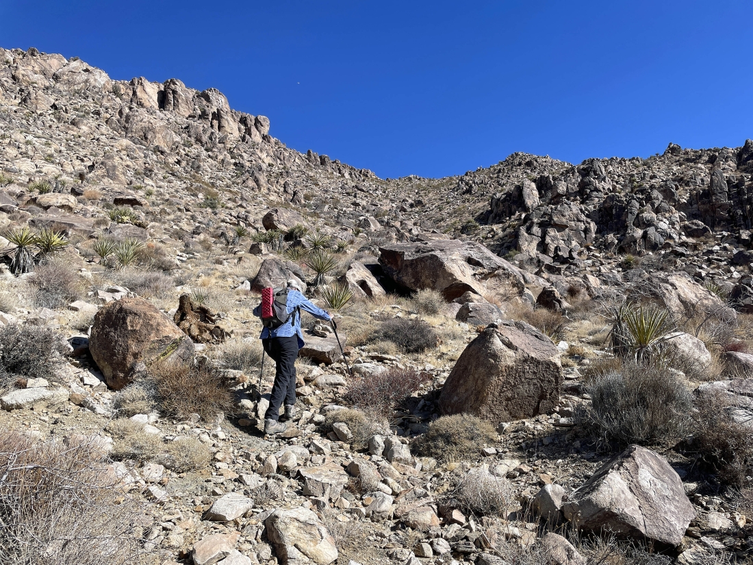
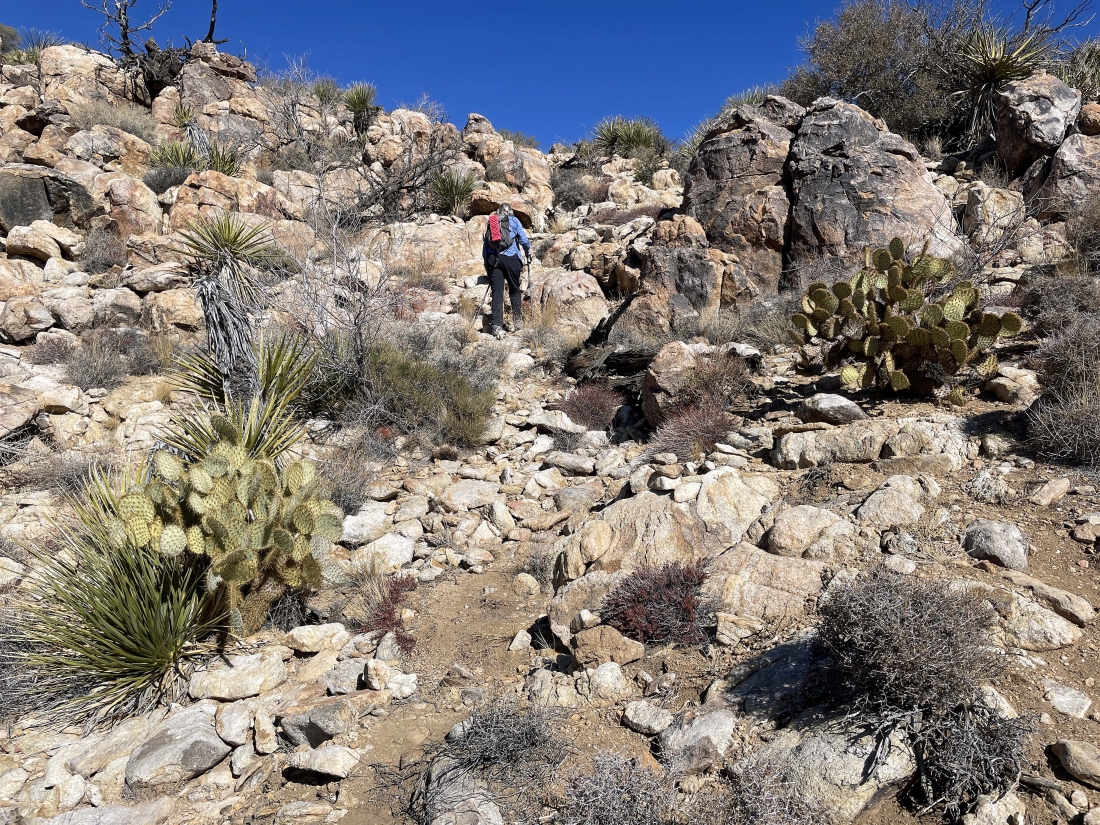
After hiking a total of one mile and gaining 240 feet of elevation we have found a path that will get us up the steep ramp shown in the previous photos.
|
Looking back out into Queen Valley as we continue up the steep ramp... Ryan Mountain is in the left-center foreground.
|
Still working the steep ramp.
|
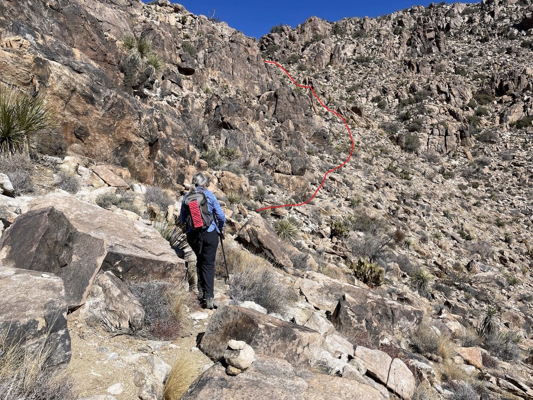
Still working the steep ramp on the path that will get us to a Queen Mountain shoulder on the far right.
|
Almost off of the ramp and onto the shoulder.
|
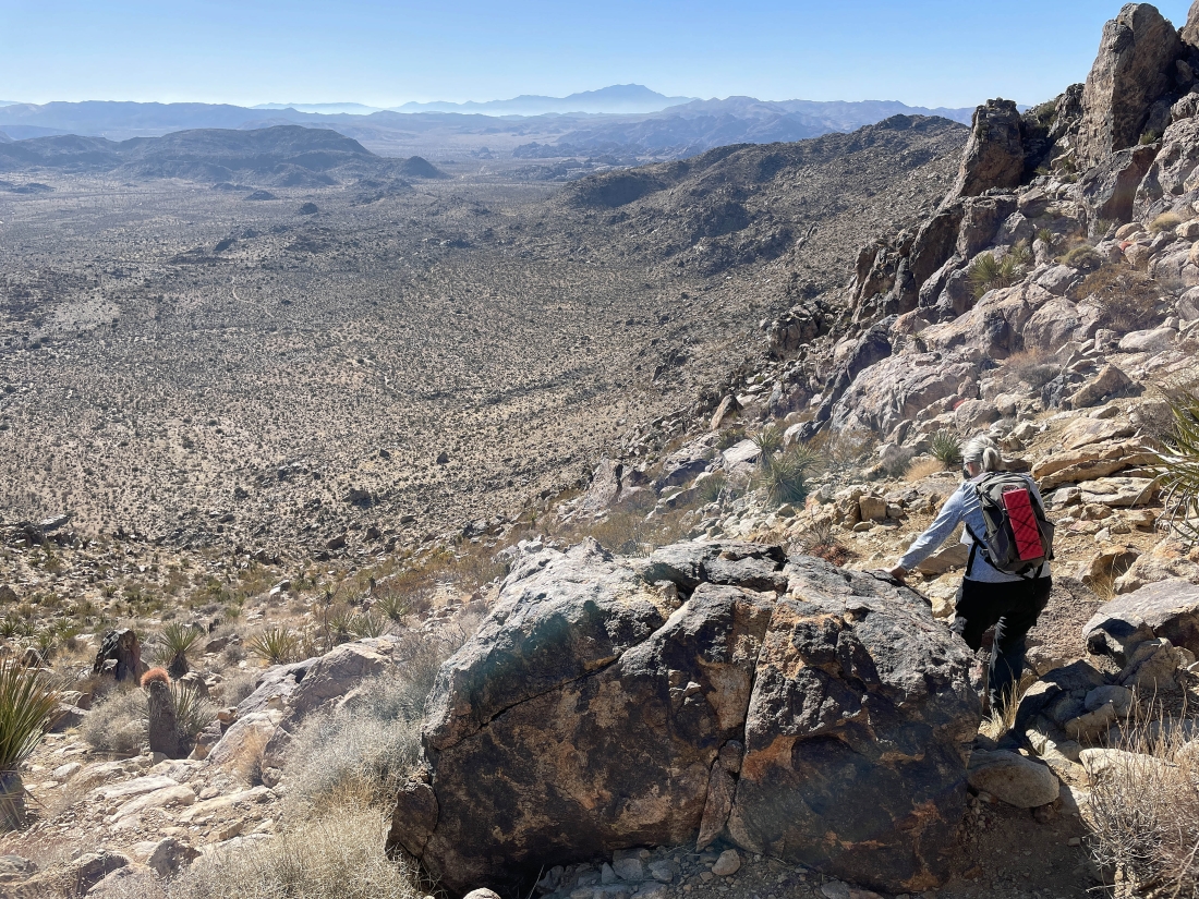
We have reached the shoulder and still have some work to do... having gained 500 feet of elevation in the last quarter mile... in other words, the ramp is very steep.
|

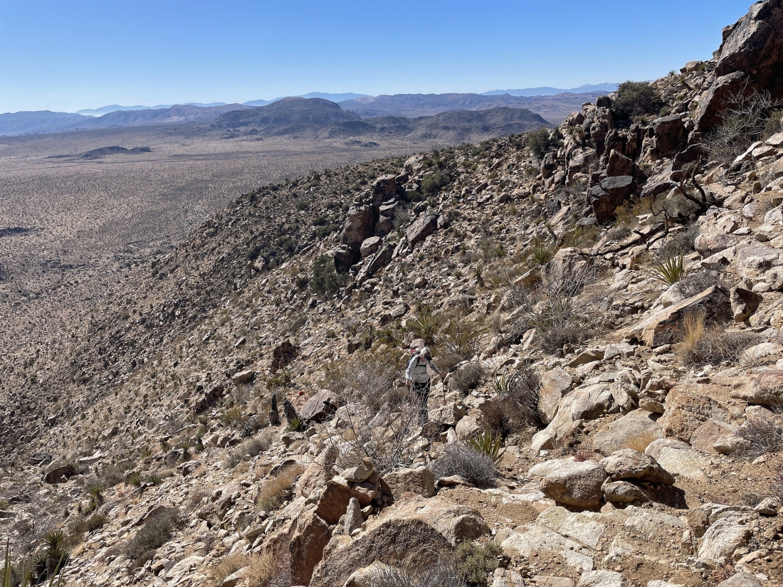
From the shoulder we will kind of traverse our way over to the next ramp over toward the right... we can see the Queen Mountain summit up there on the right-center horizon.
|
|
Looking back at Denali Girl as she traverses here way over from the shoulder to join me.
|
Continuing to traverse our way over to the next ramp.
|
We have reached the second ramp... time to gain some steep elevation again.
|
Looking back as we continue up the steep second ramp.
|
Almost done with the second steep ramp.
|
|
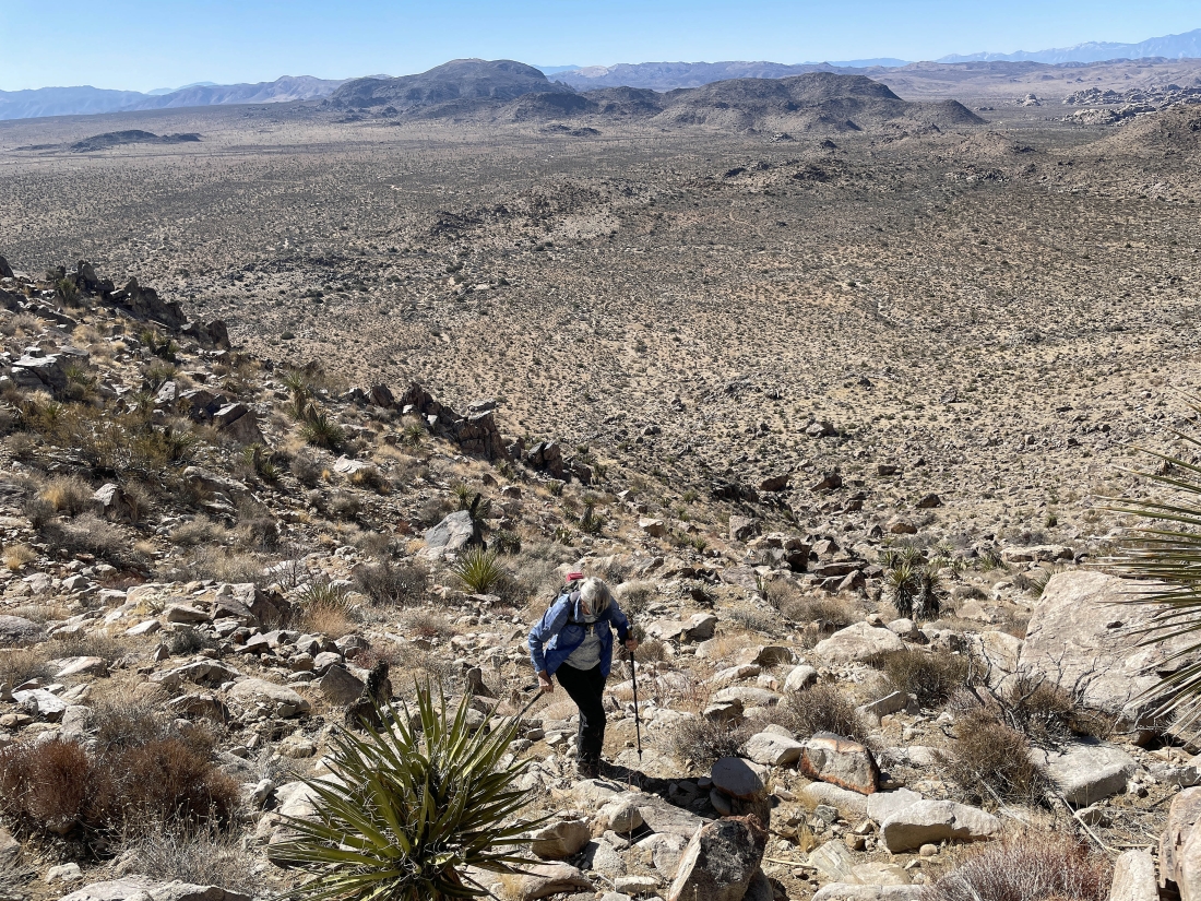
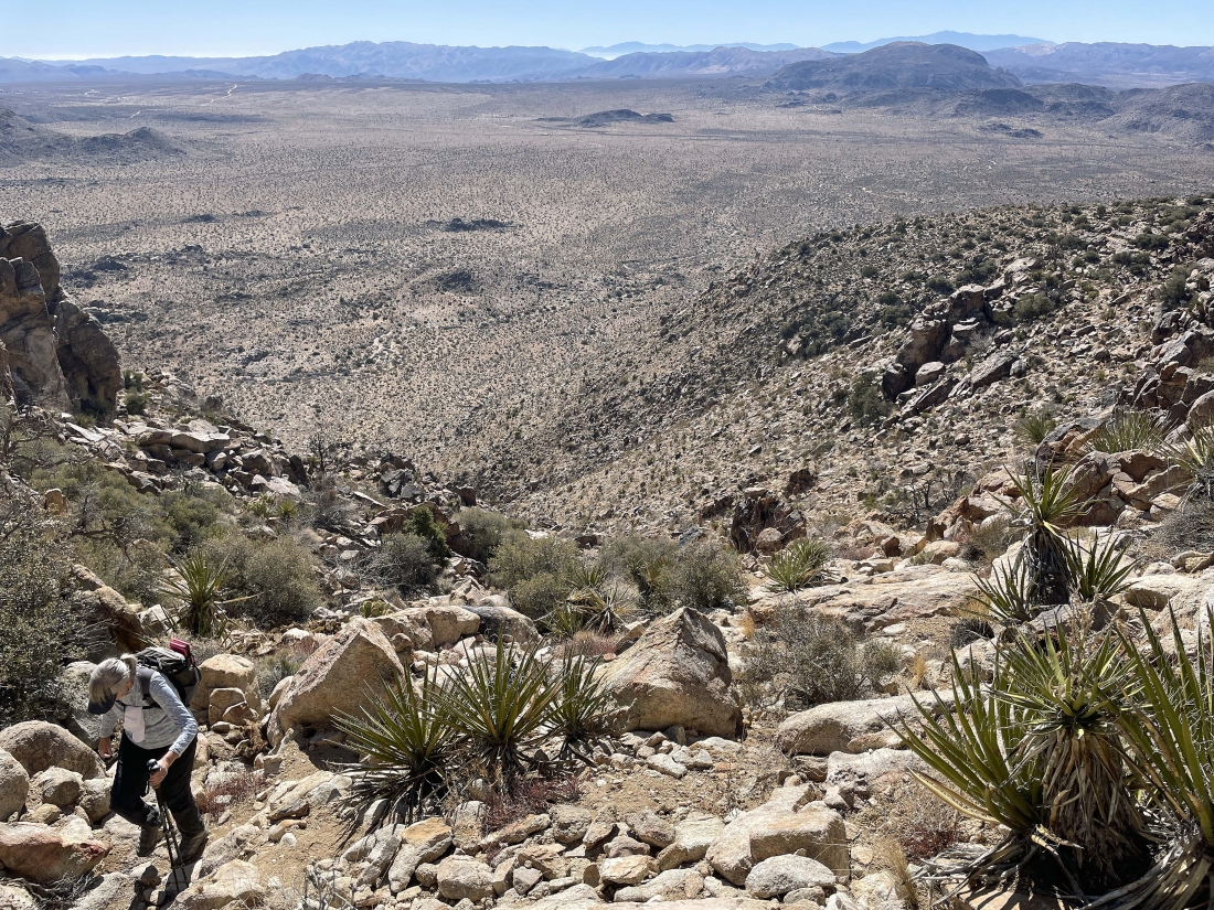
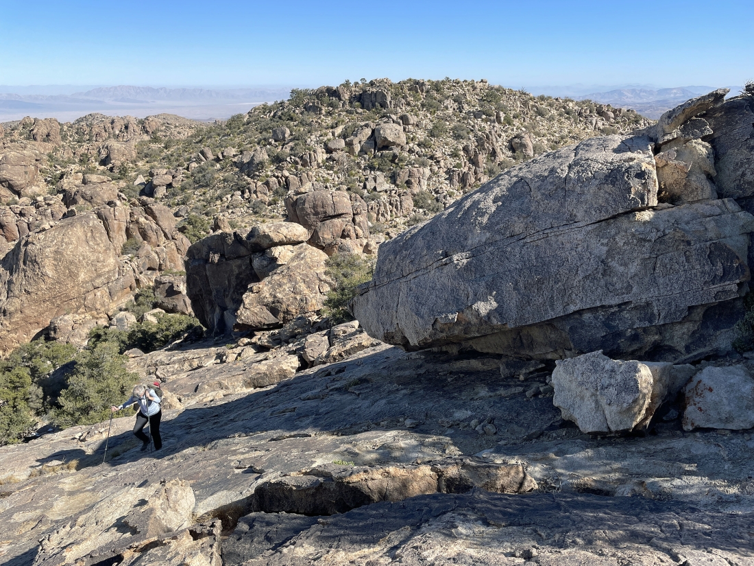
It almost seems flat after dealing with the second ramp... the second ramp gained 300 feet of elevation in less than a quarter mile... the 5,677 foot Queen Mountain Benchmark is on the right... and the actual summit is out of view over to the far left.
|

We can see another hiker on the summit up there on the horizon in the middle of the photo... definitely glad the summit isn't the rock formation in the right-center of the photo.
|

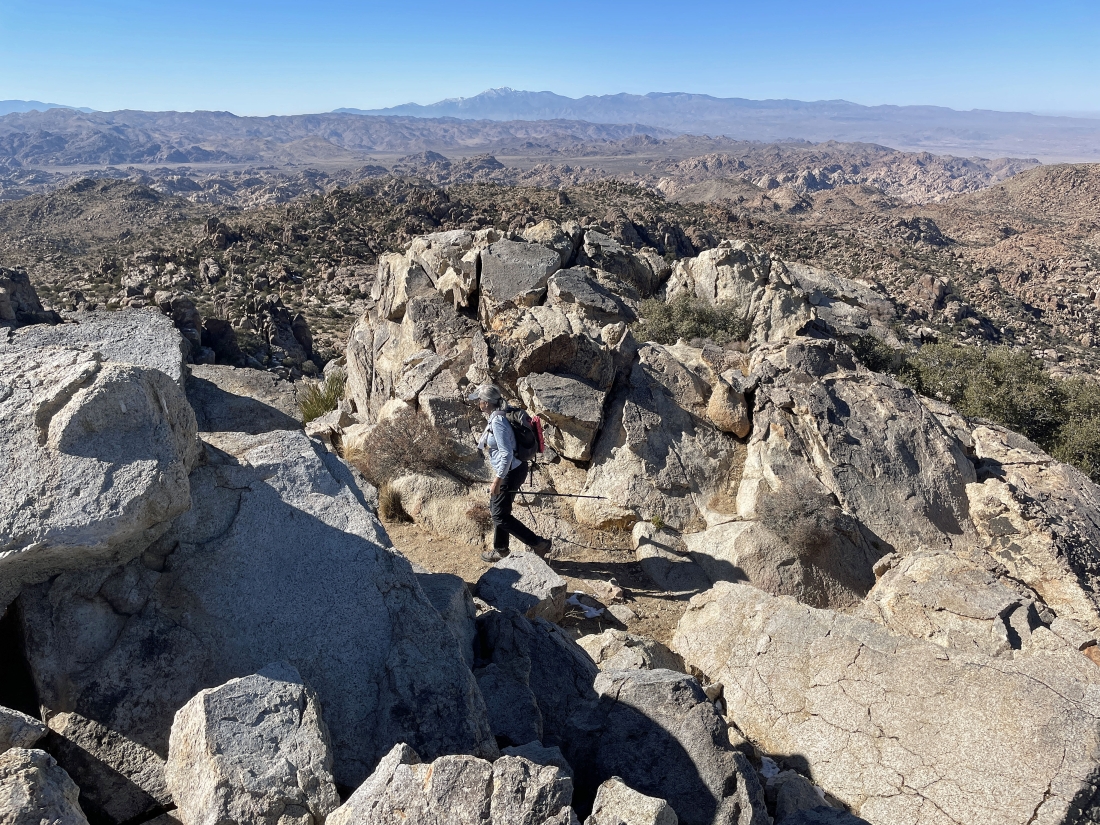
Denali Girl working here way over to the Queen Mountain summit on the far left.
|
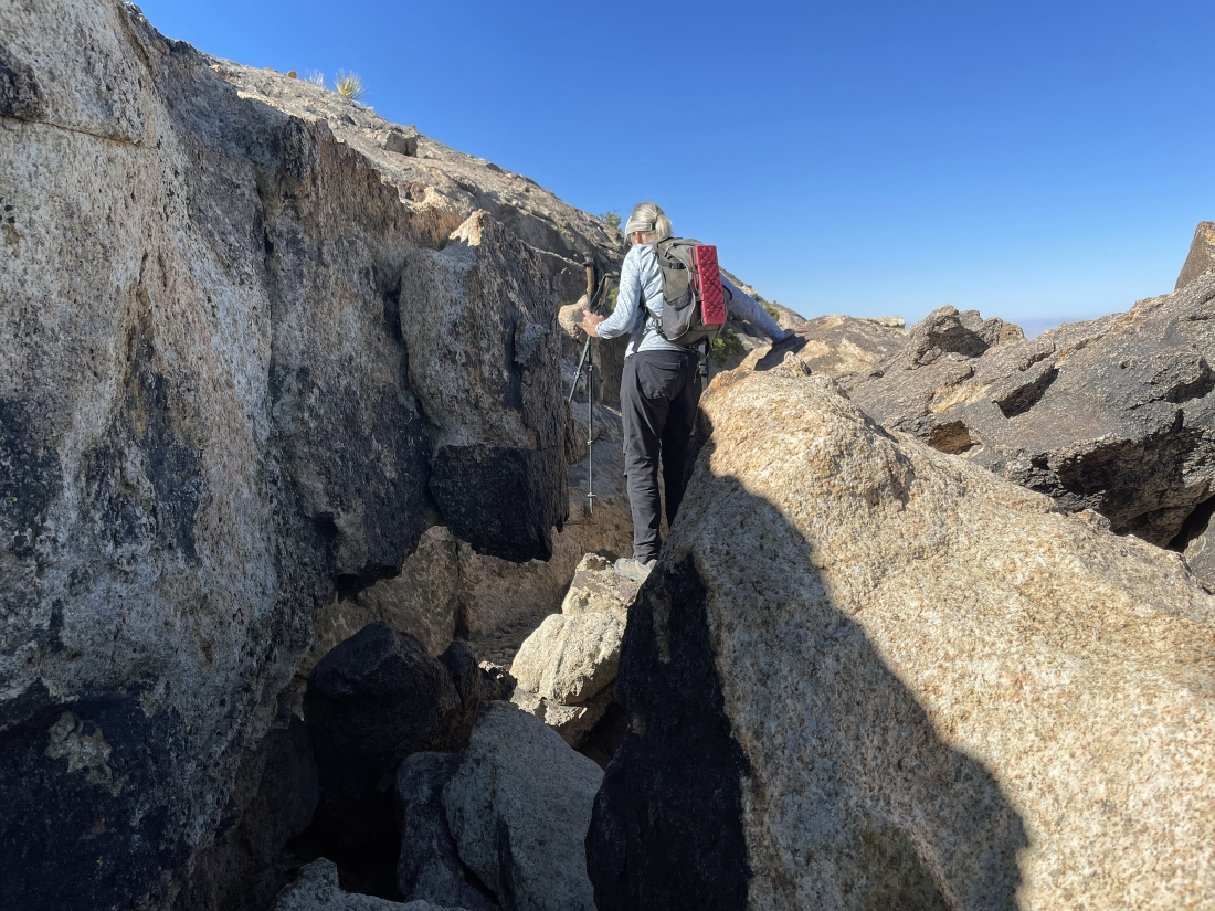
Denali Girl works here way through what seemed like a trough.
|

Out of the trough and continuing to head for the summit... and yes, Denali Girl has a halo.
|
Denali Girl is coming up to the summit of Queen Mountain... and that is the 5,677 foot Queen Mountain Benchmark out there in the foreground.
|
Denali Girl is coming up to the summit of Queen Mountain... and that is the 5,677 foot Queen Mountain Benchmark on the far right... and we can see Yucca Valley and many other valleys on the horizon.
|
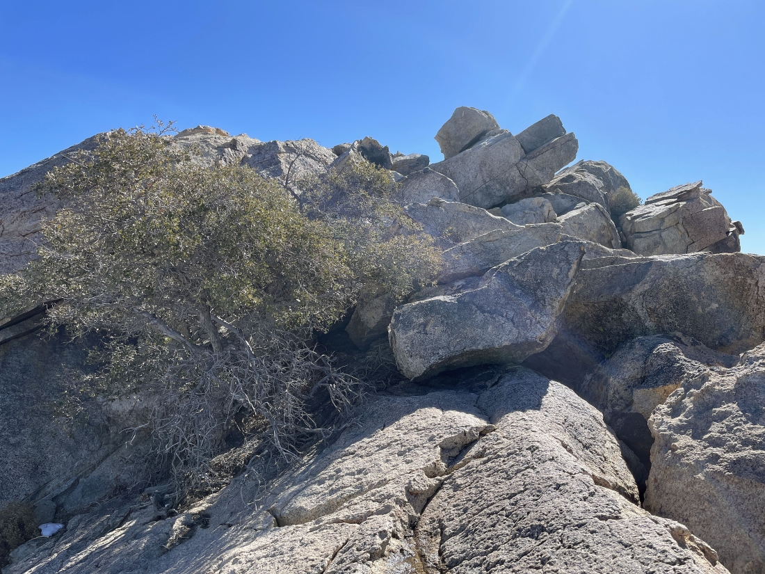
Almost up to the Queen Mountain summit... it might look somewhat difficult to get there... but it really isn't.
|
Denali Girl is getting ready to join me on the summit.
|
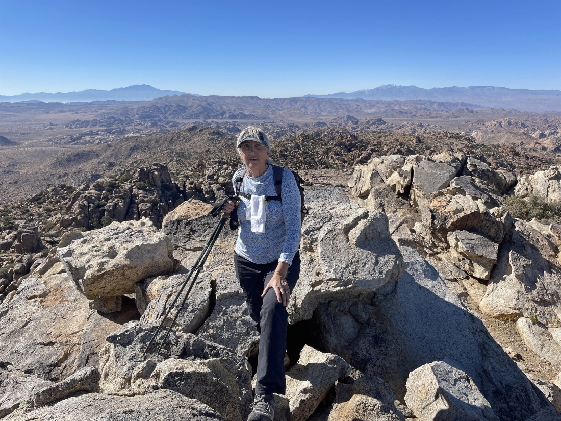
After hiking a total of 1.8 miles and gaining a total of 1,200 feet of elevation we have reached the 5,680 foot summit of Queen Mountain... 10,834 foot San Jacinto Peak is on the left-center horizon... and 11,503 foot San Gorgonio Mountain is on the right-center horizon.
|
|
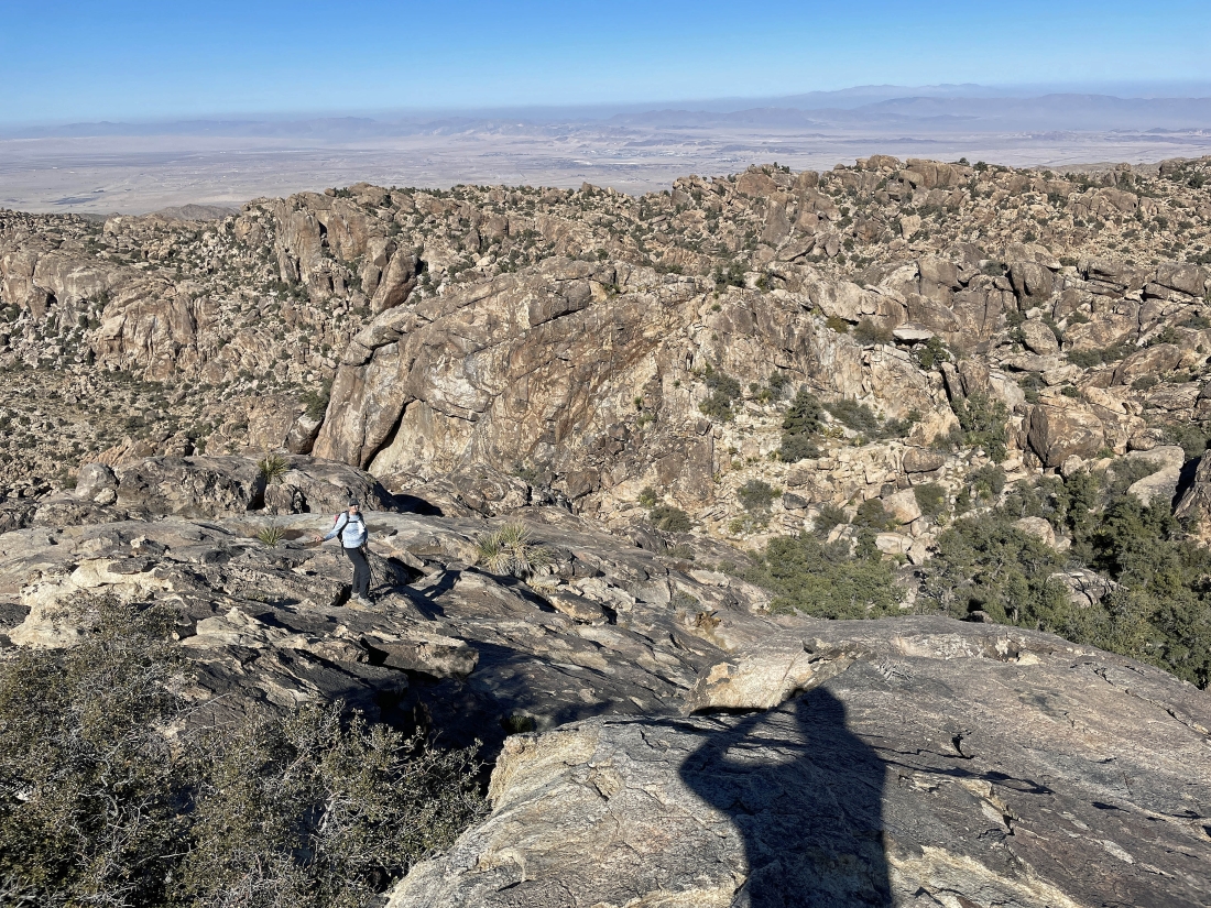
A 180 degree pano from the Queen Mountain summit... left to right... east, south and west... with Queen Valley dominating the foreground.
|
The other 180 degree summit photo... left to right... SW, west, north, NE and east.
|
Time to head down from the Queen Mountain summit.
|

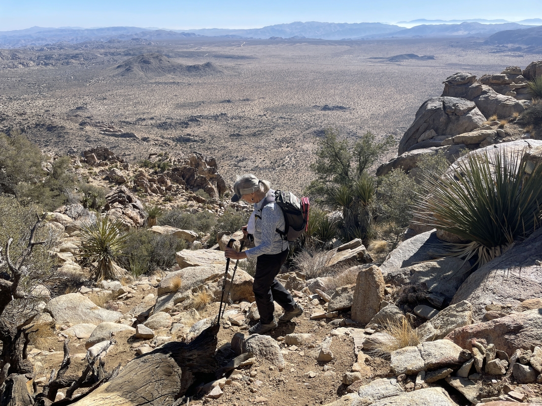
Heading down from the summit... looking for that flatish area between the summit and the benchmark over there in the distance.
|
We are getting ready to go down that second ramp we dealt with earlier... more or less tracing our steps back to the car.
|
Nearing that shoulder as we trace our steps back to the car.
|
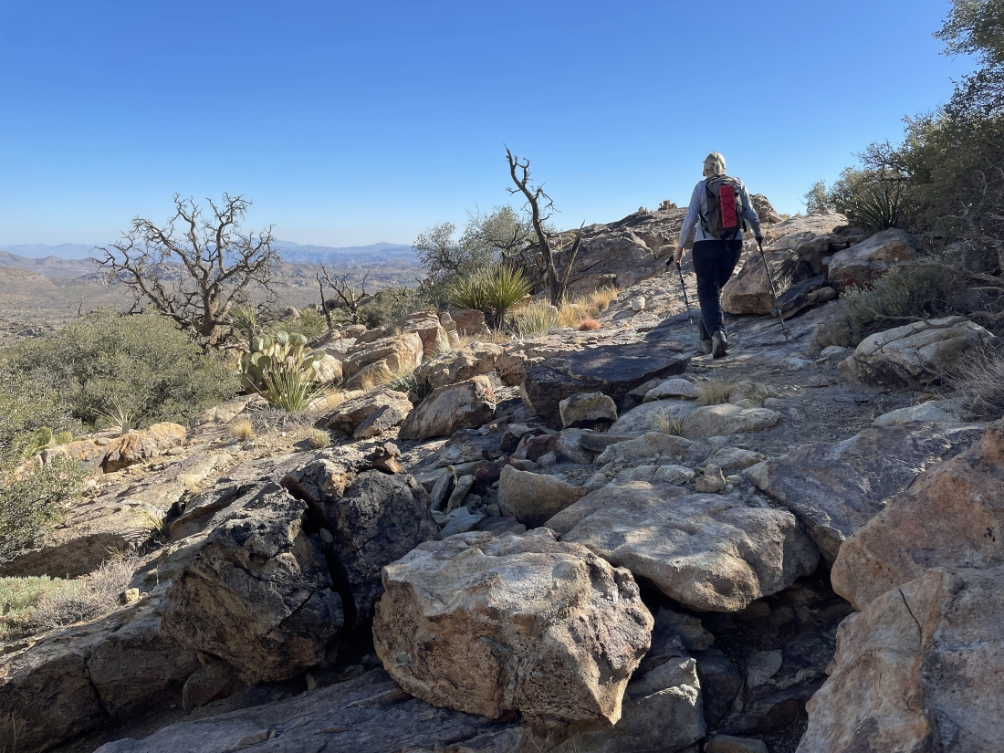
Time to trace our steps back down that first ramp.
|
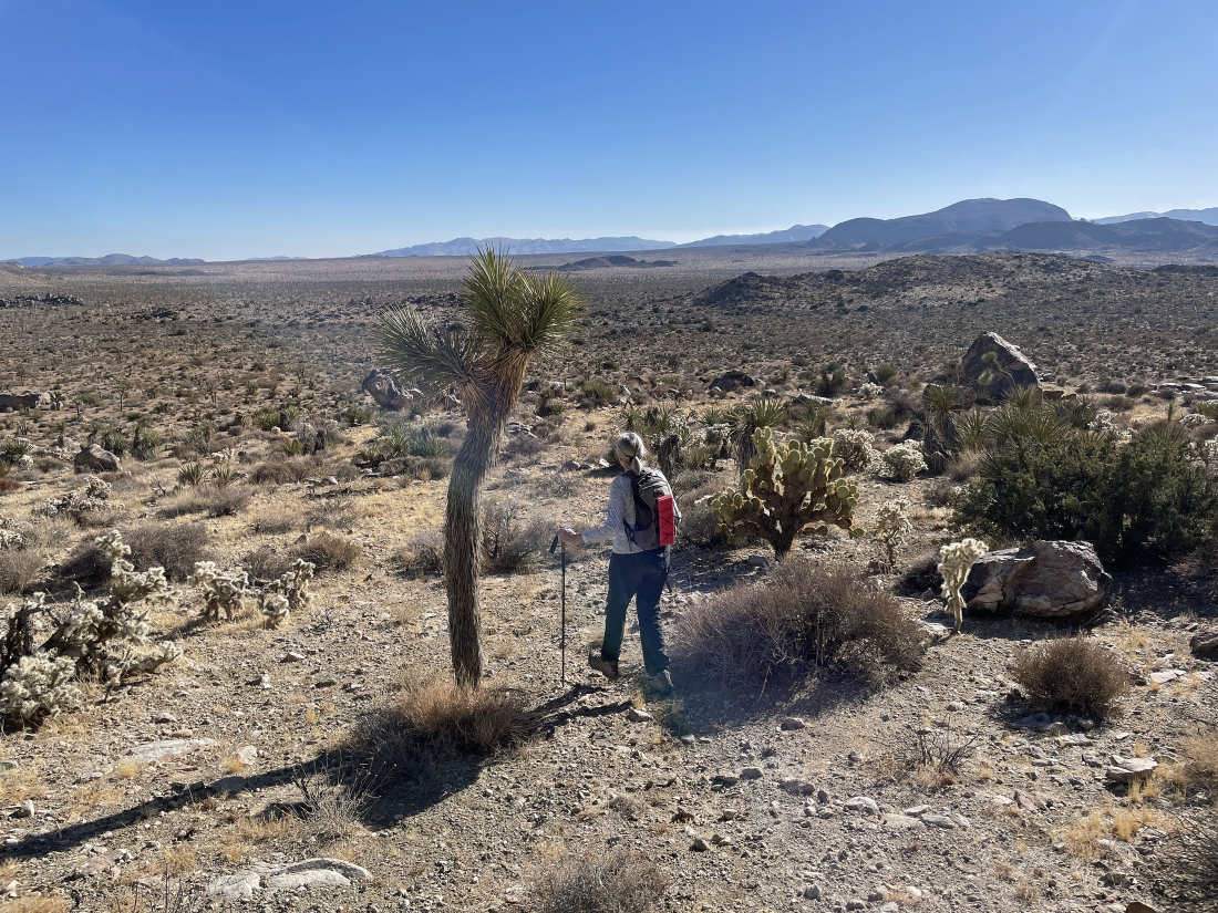
We have made it down the ramp... leaving a one mile cross-country walk back to the car.
|
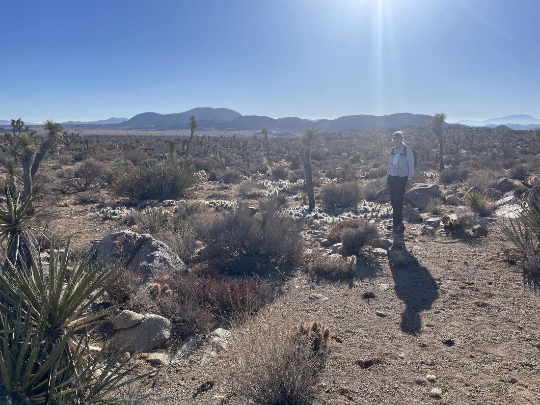
Almost back to our car... walking through a patch of Grizzly Bear Prickly Pear cacti.
|
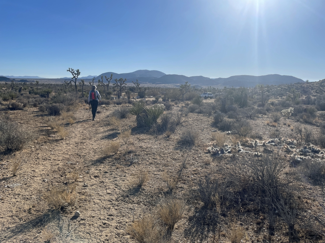
A stone's throw from our car... the total hike was 3.6 miles, gaining 1,221 feet of elevation.
|
