Ivanpah Tank and Live Oak Tank - 2.3.2025
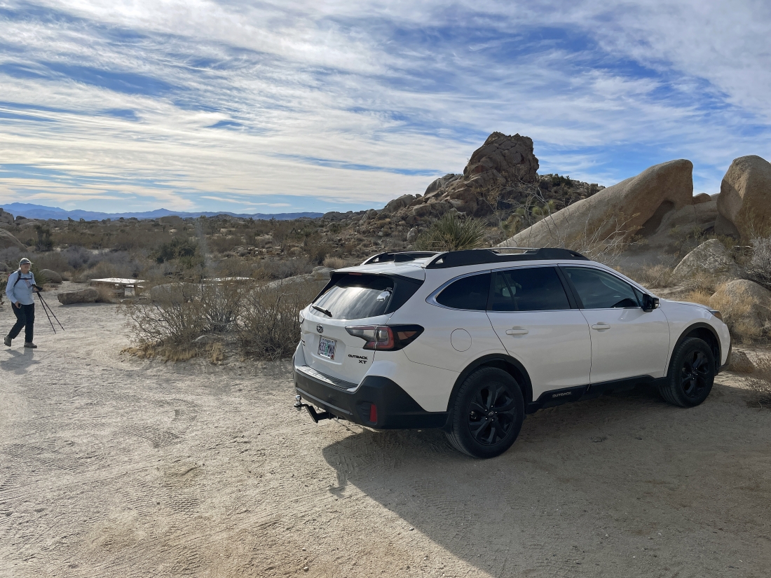
We parked at the Live Oak Picnic area in Joshua Tree National Park and started hiking south.
|
Within 5 minutes we were surrounded by incredible rock formations as we search for Ivanpah Tank... now heading out along the smooth rock in the foreground to the bump in the left foreground.
|
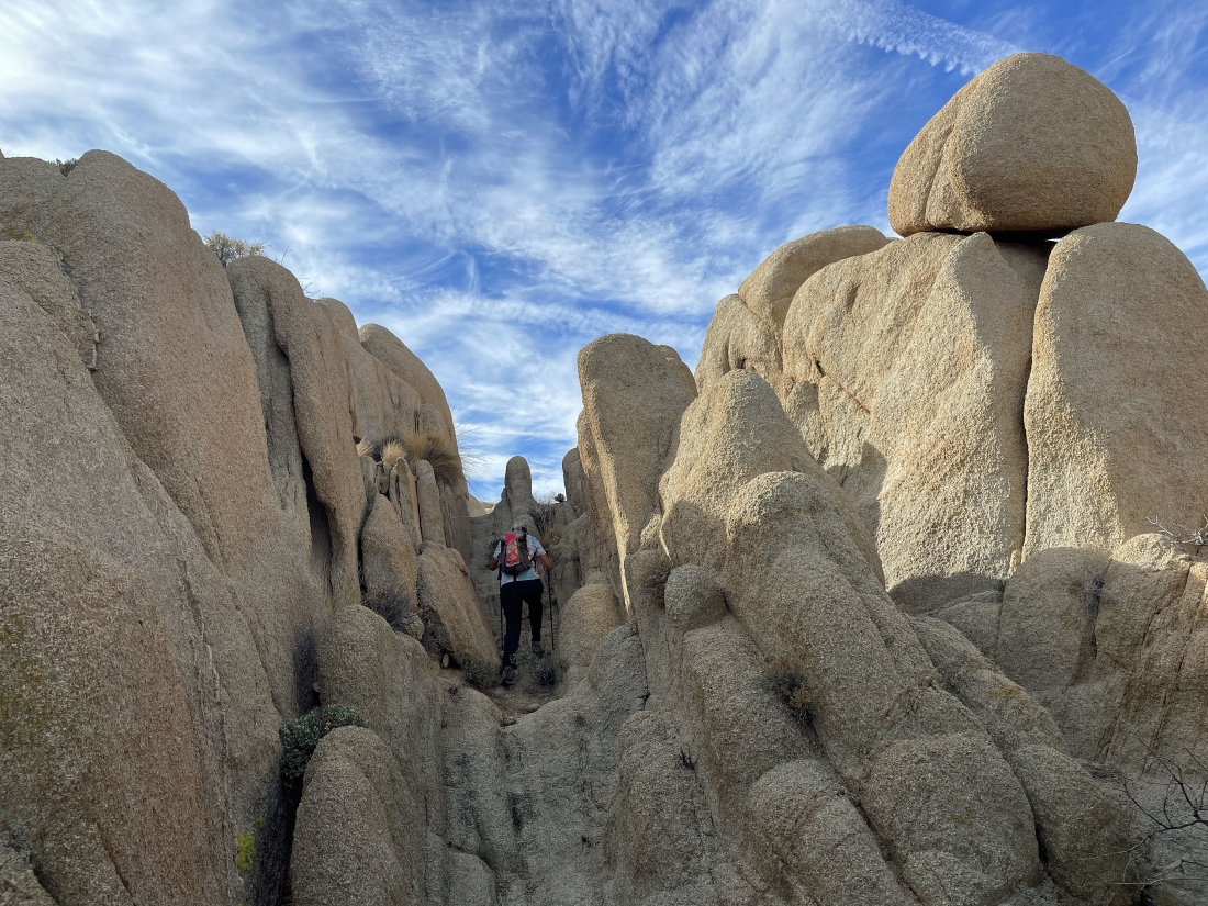
Still searching for Ivanpah Tank.
|
We think we saw Ivanpah Tank... so we will give up a little elevation from the last high point and head over to it.
|
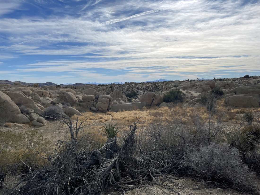
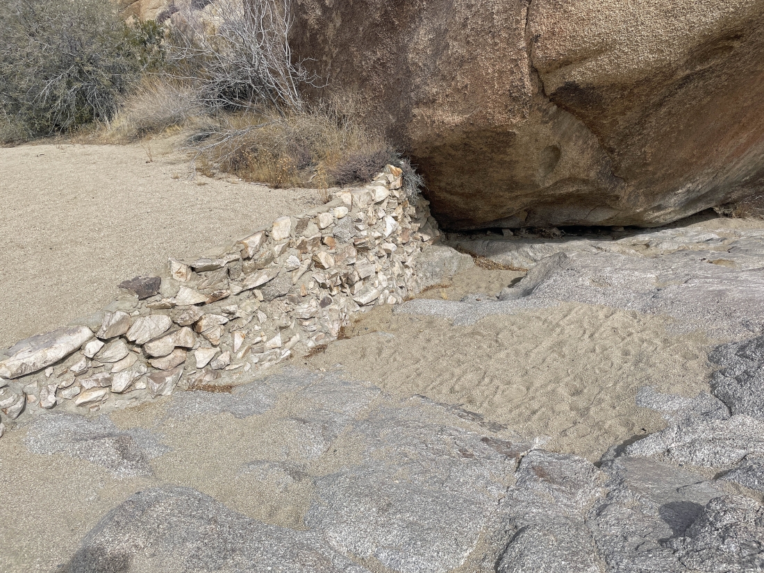
We can see what looks like a dam at Ivanpah Tank... but there is no water on this side of the dam.
|
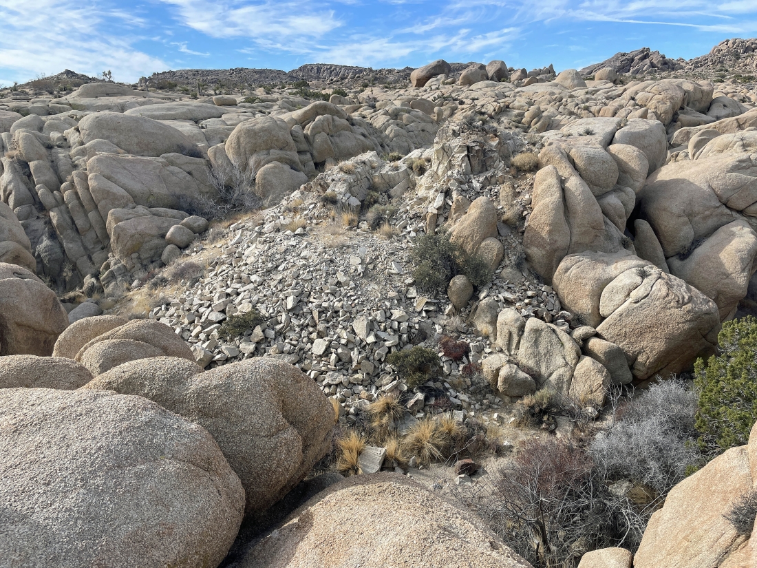
Heading over to the dam we found what looks like mine tailings... but the mine shaft was covered up.
|

Now looking at the back side of Ivanpah Tank... and no water on this side either.
|
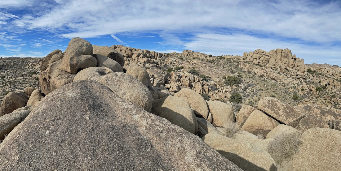
A pano shot from where I took the last photo... showing lots of rock formations.
|
Leaving the Ivanpah Tank area.
|

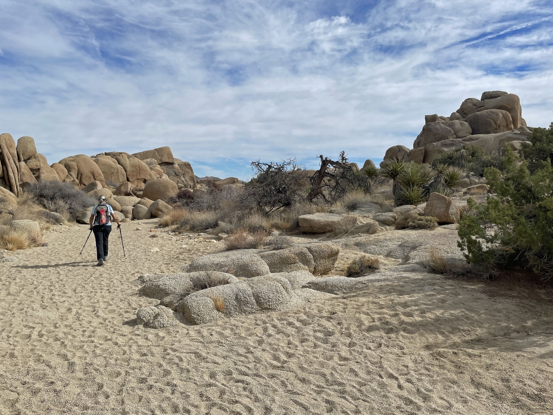
Looking back toward the Ivanpah Tank area... now hiking SW and looking for more rock formations.
|
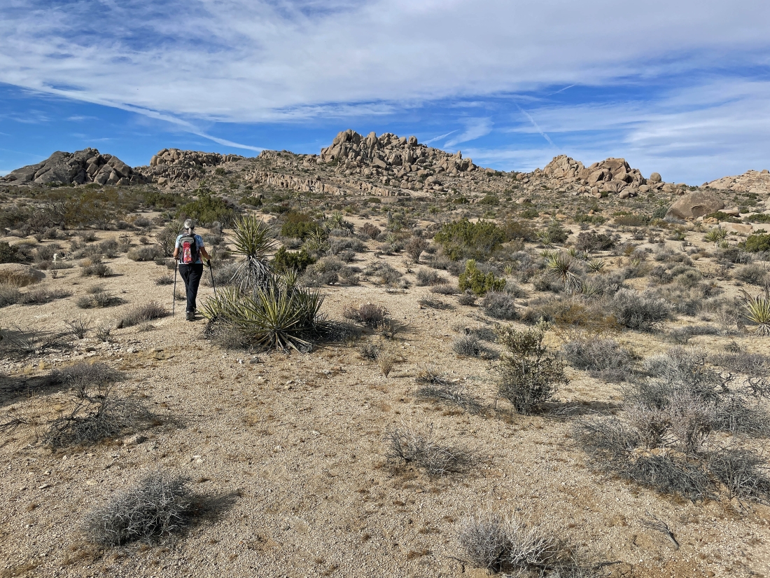
Hiking SW... we really like those rock formations out there in the middle of the photo... but we decided to first head for the rock formation in the extreme left foreground.
|
Nearing that rock formation on the left... it looks like it is really smooth.
|
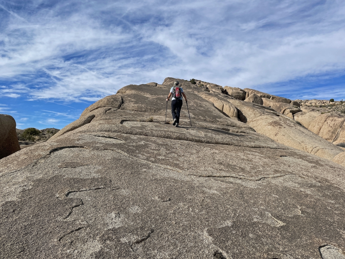
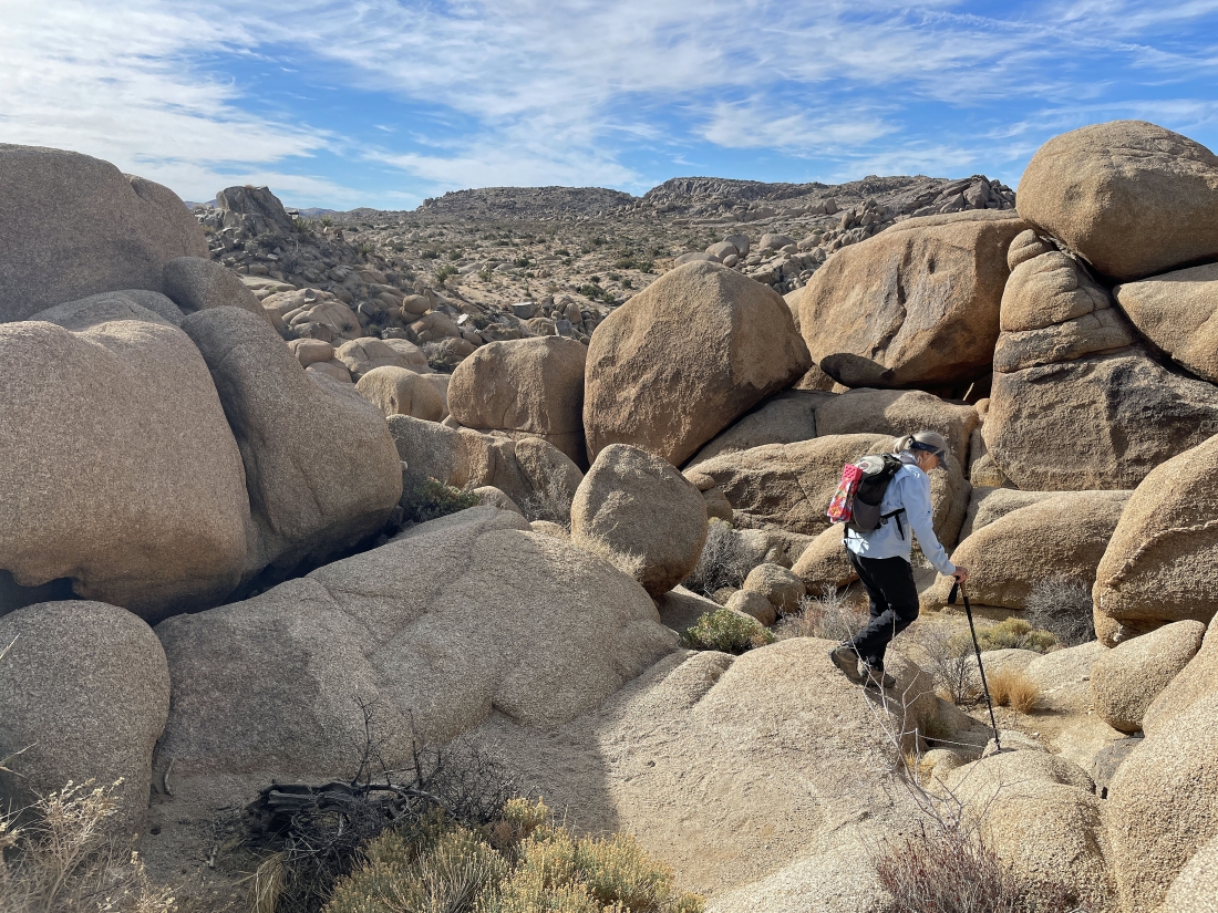
Denali Girl heads up that smooth rock formation.
|
Continuing to hike up that smooth rock formation.
|
I took this pano from near the top of the smooth rock formation... now we will head for the smooth rock out there in the center of the photo.
|
Looking for that smooth rock we saw in the last photo.
|
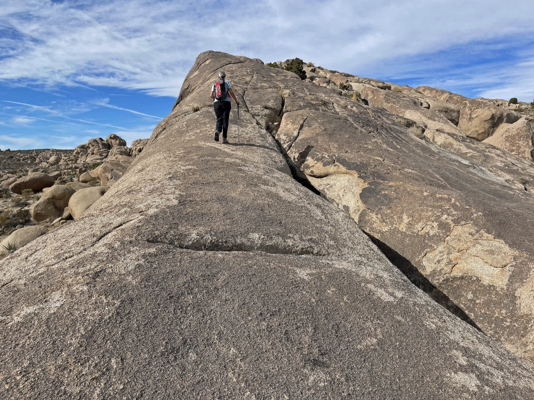
Ah yes... we have found the smooth rock we saw two photos ago.
|
Still on that smooth rock... Denali Girl is looking out to Crown Prince on the extreme far left horizon.
|
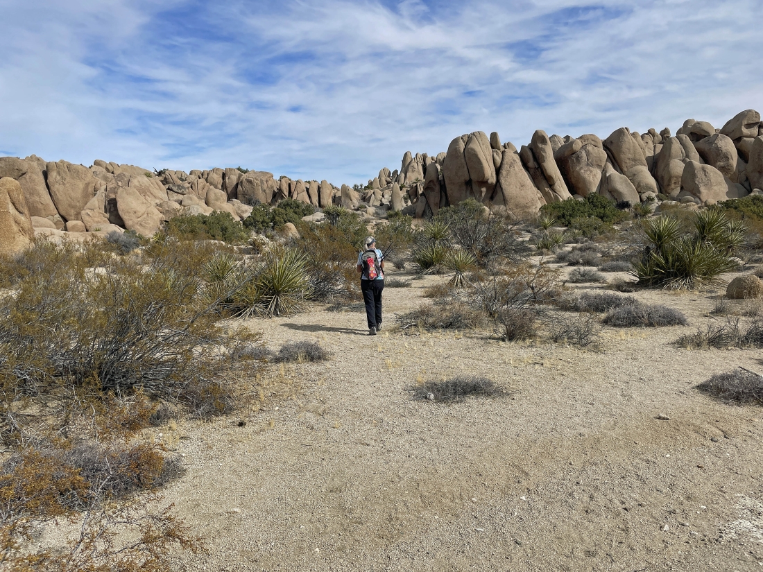
Hiking west... looking for more rock formations.
|
Denali Girl is coming over to join me.
|
|
I'm looking SW to Crown Prince on the far left horizon... and NNW to Queen Mountain on the extreme far right horizon... time to visit some more smooth rock in the center of this photo.
|
Nearing the smooth rock that was partially visible in the previous photo.
|
More smooth rock.
|
Denali Girl is coming over to join me as we are getting ready to head to the NW and find a route directly up the middle of the photo... just to the left of the huge rock formation in the right-center of the photo.
|
Getting closer to that huge rock formation in the extreme far right of the photo.
|
|
Incredible rock formations... reaching the 4,412 foot high point of our hike.
|
Now hiking NE back toward the Live Oak Picnic area.
|
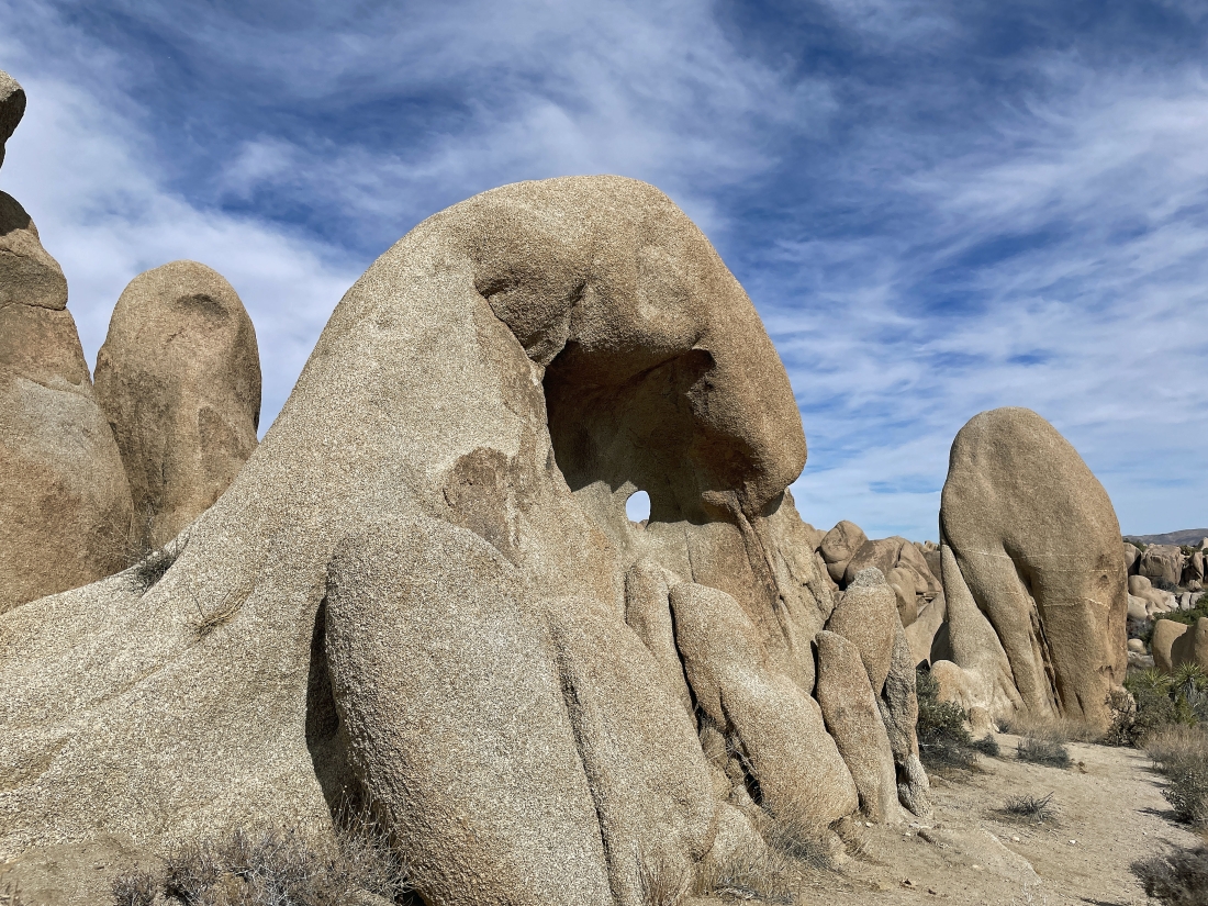
Is that a hole in the rock formation?
|
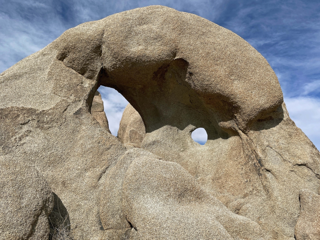
Well... actually it was two holes in the rock formation.
|
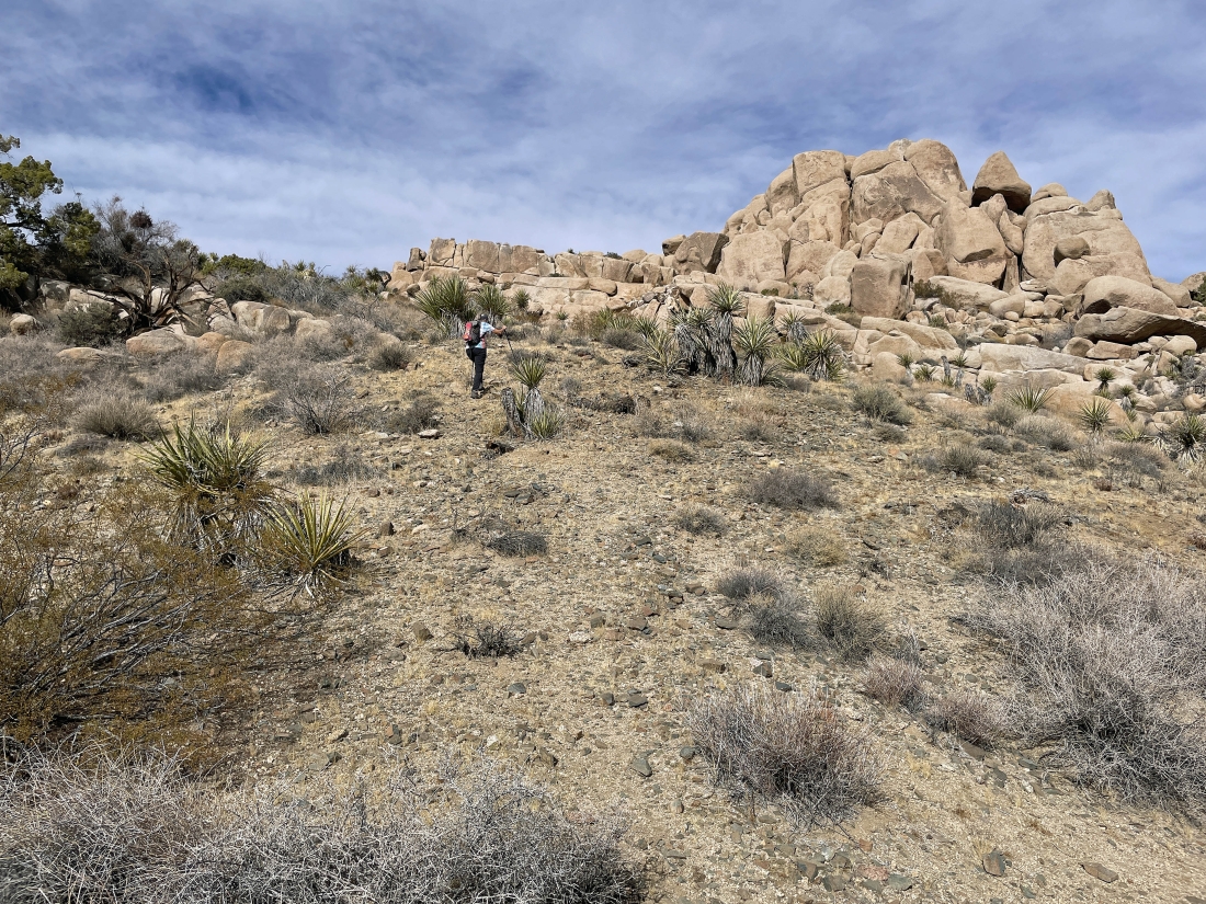
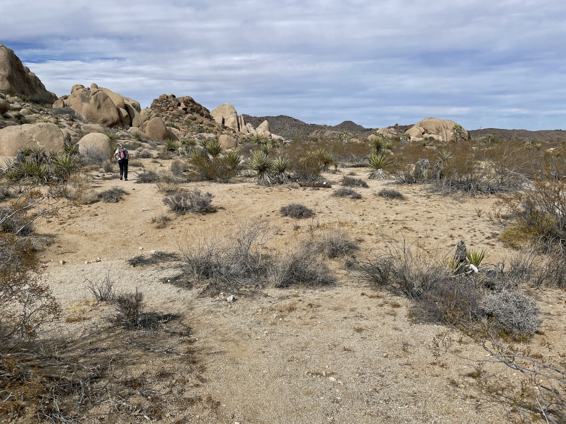
Hiking NE in search of the Live Oak Tank.
|
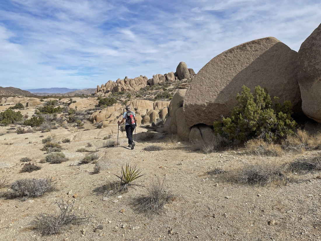
Continuing to hike NE in search of the Live Oak Tank.
|
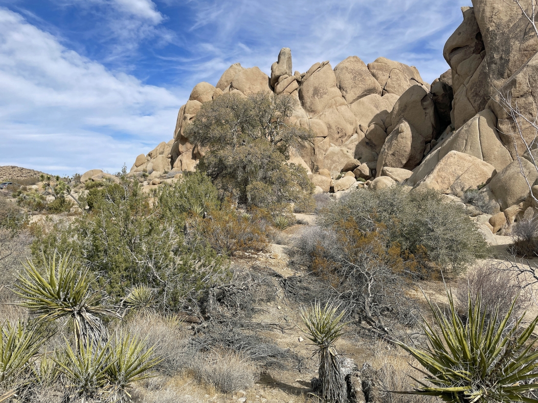
That big tree out there is an Oak Tree.
|
Near the oak tree in the previous photo we have found the Live Oak Tank... and it has probably been many years since there was any water here.
|
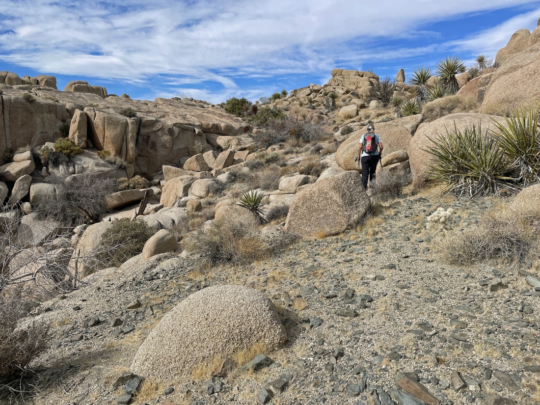
Leaving the Live Oak Tank and following a well traveled wash on the way back to our car.
|
Our car is a stone's throw away... the total hike was 2.7 miles, gaining 381 feet of elevation.
|
