Queen Mountain Exploration - 2.15.2025
|
We parked at the end of O'Dell Road in Joshua Tree National Park. O'Dell Road is a dirt road that can be accessed via the paved Park Blvd or the Queen Valley Road which is also a dirt road... we will head for the 'V' located in the distance on the horizon directly above the white car.
|
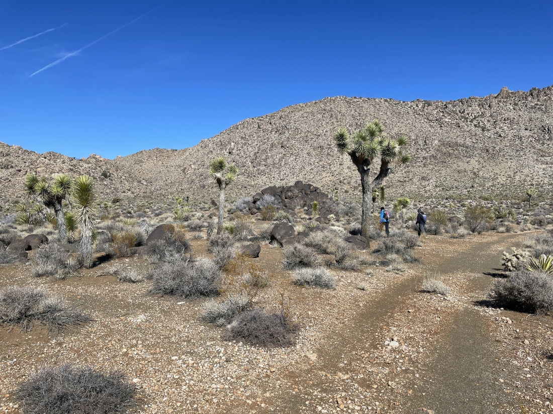
After hiking a half mile on an unnamed trail we will leave the unnamed trail and follow an unnamed path that begins near the huge pile of black boulders... heading for the low point up there on the far left horizon.
|
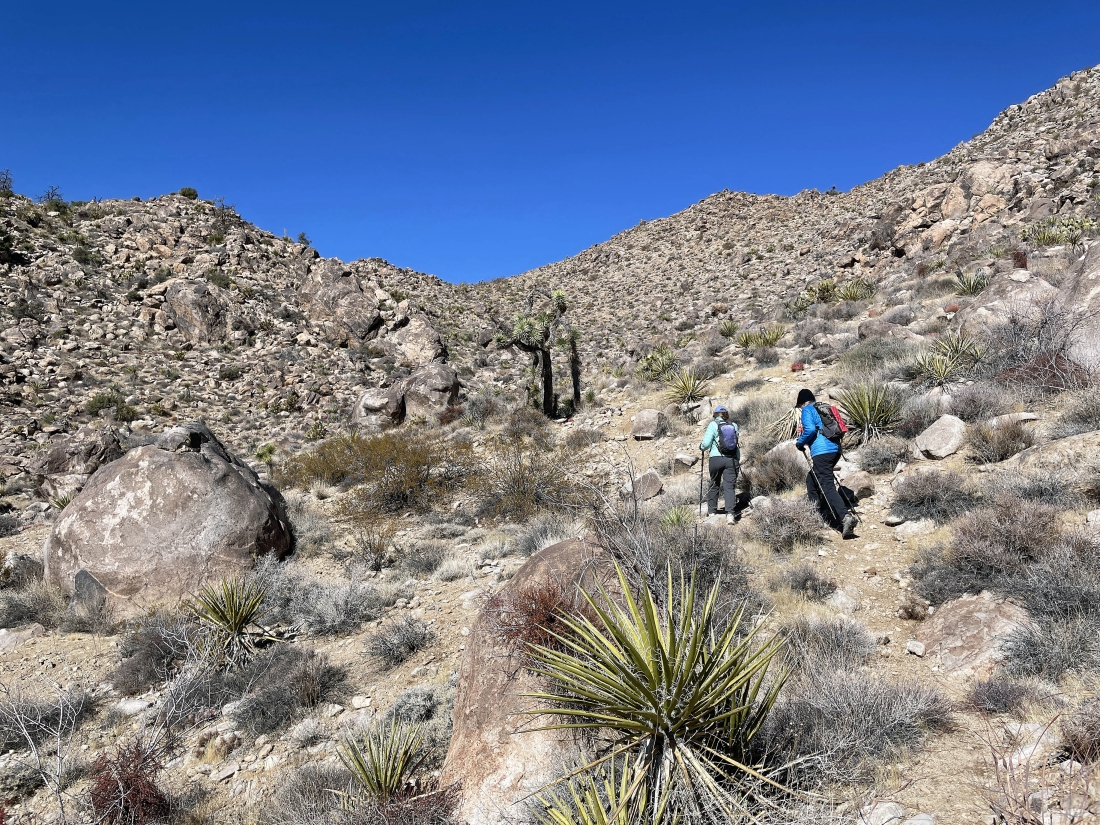
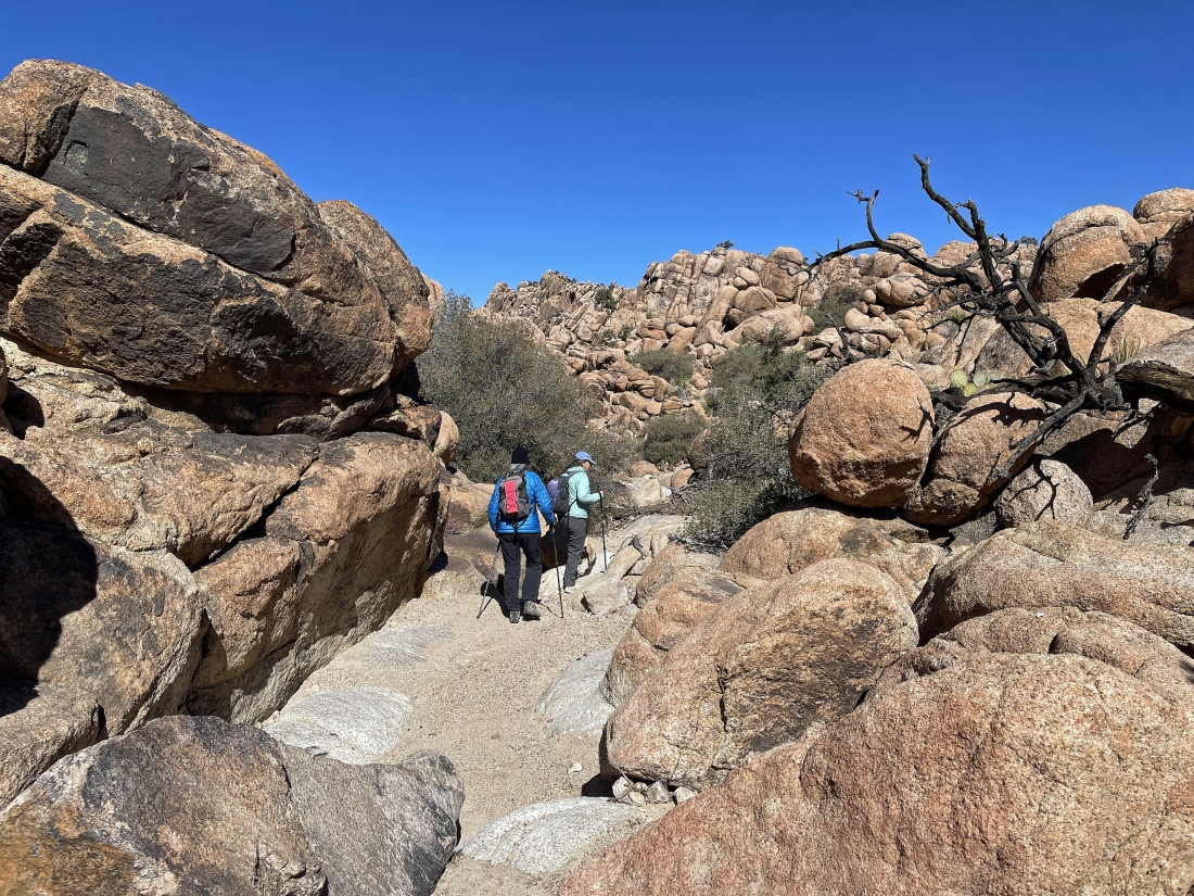
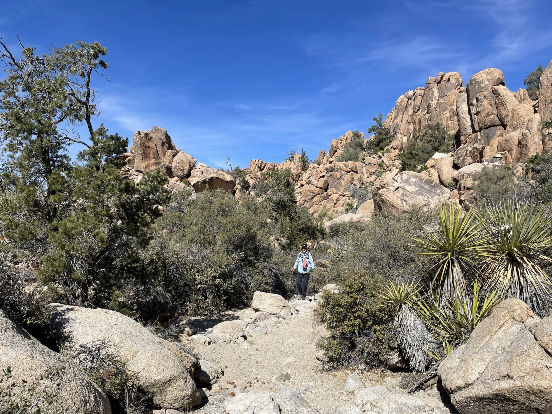
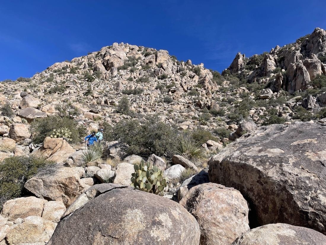
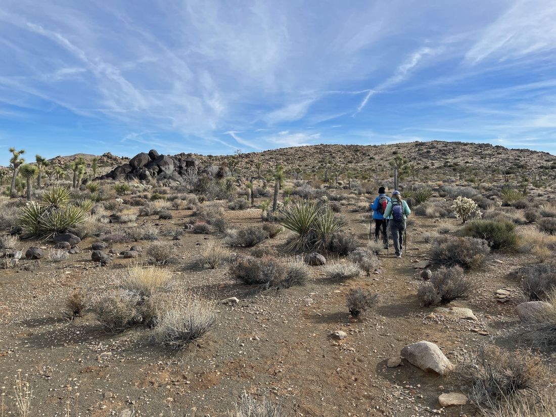
Leaving the valley and starting to gain elevation up to the low point on the horizon.
|
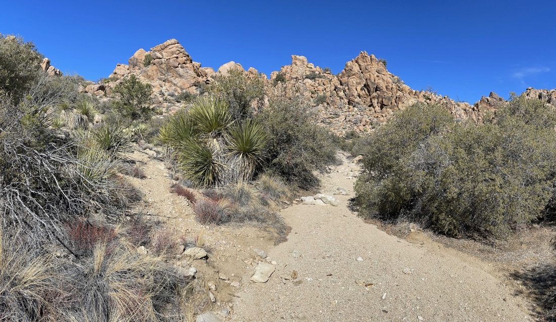
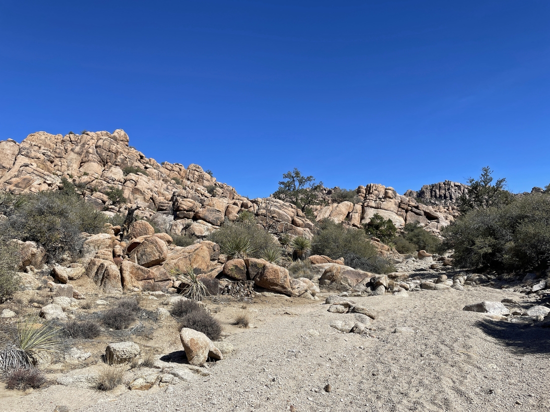
After hiking a total of 1.2 miles and gaining ~350 feet of elevation we have reached a little plateau that also feels like a box canyon... we will hike over to get out of the box canyon and go up to the 'V' in the right-center of the photo.
|
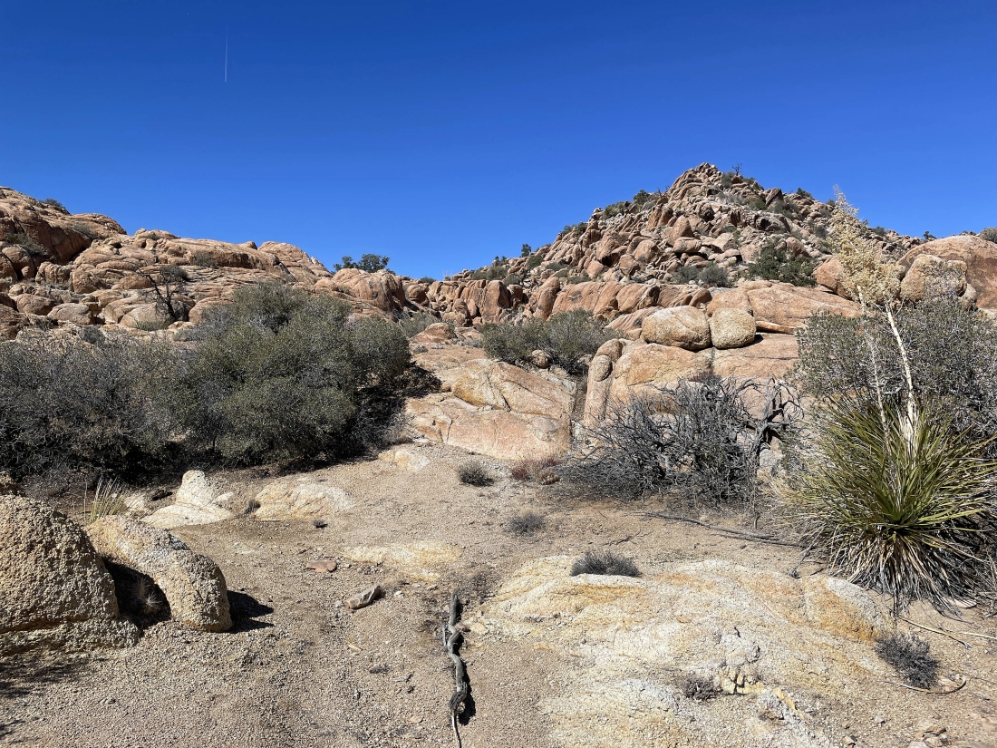
Still in the box canyon... getting ready to leave the box canyon wash and head up to the 'V' on the far left.
|
|
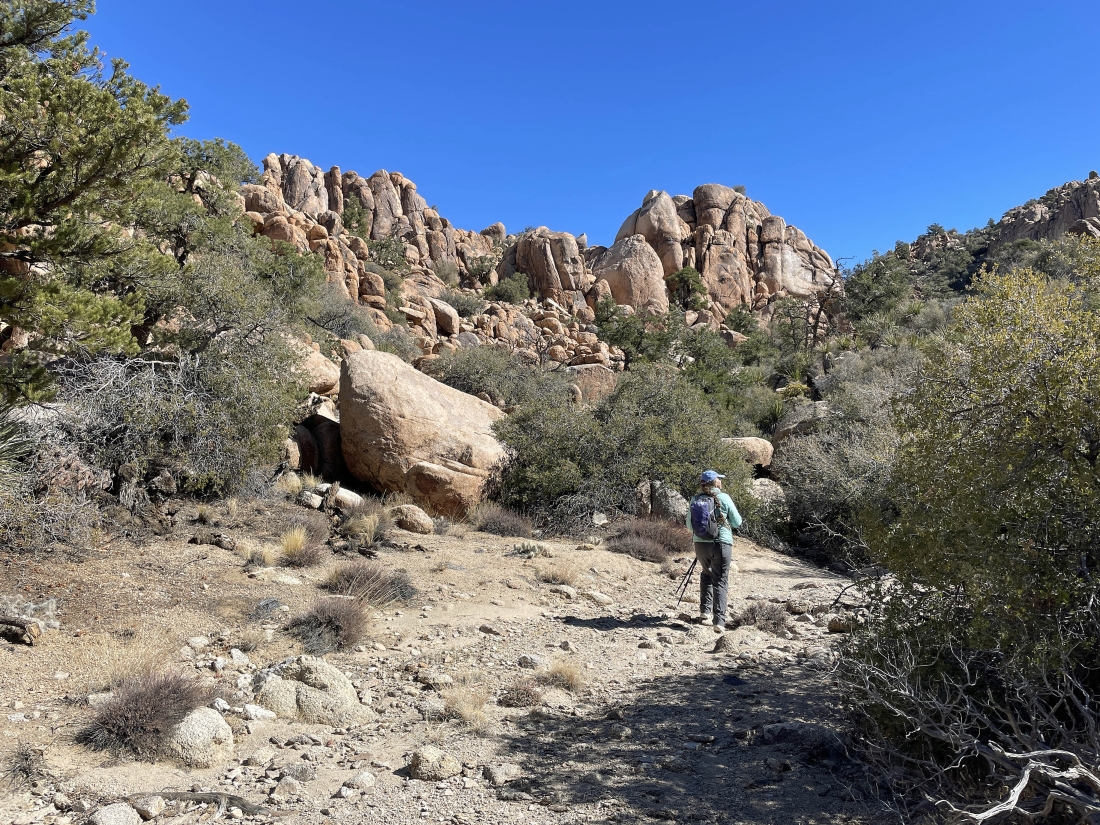
Hiking north in a huge wash... getting ready to pass by the entrance to Tanzbodeli.
|
After hiking a total of 2.2 miles we are still in the huge wash... here looking at the entrance to Tanzbodeli... but we will keep hiking north in the huge wash.
|

Continuing to hike north in the huge wash... here passing by the backside of Tanzbodeli.
|
After hiking a total of 2.4 miles we left the huge wash and started hiking east in a smaller wash.
|
Now hiking SE in the smaller wash.
|

Now hiking SE in the smaller wash.
|
Now hiking SE in the smaller wash.
|
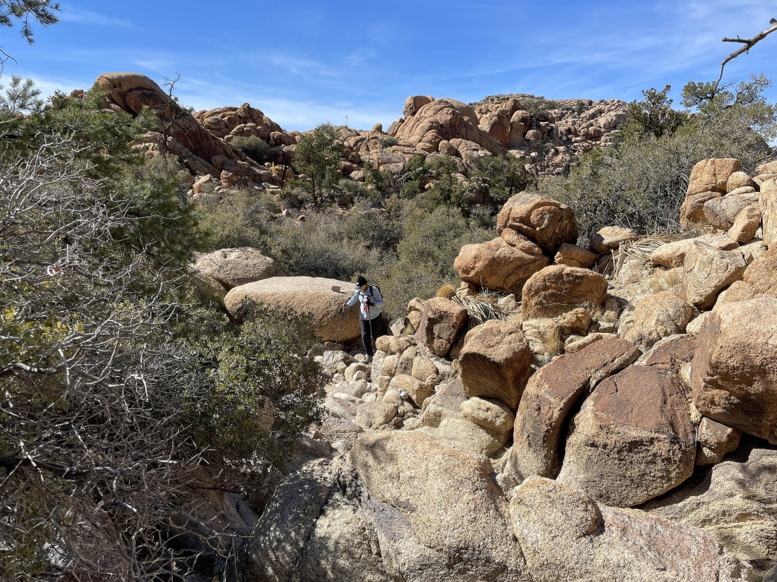
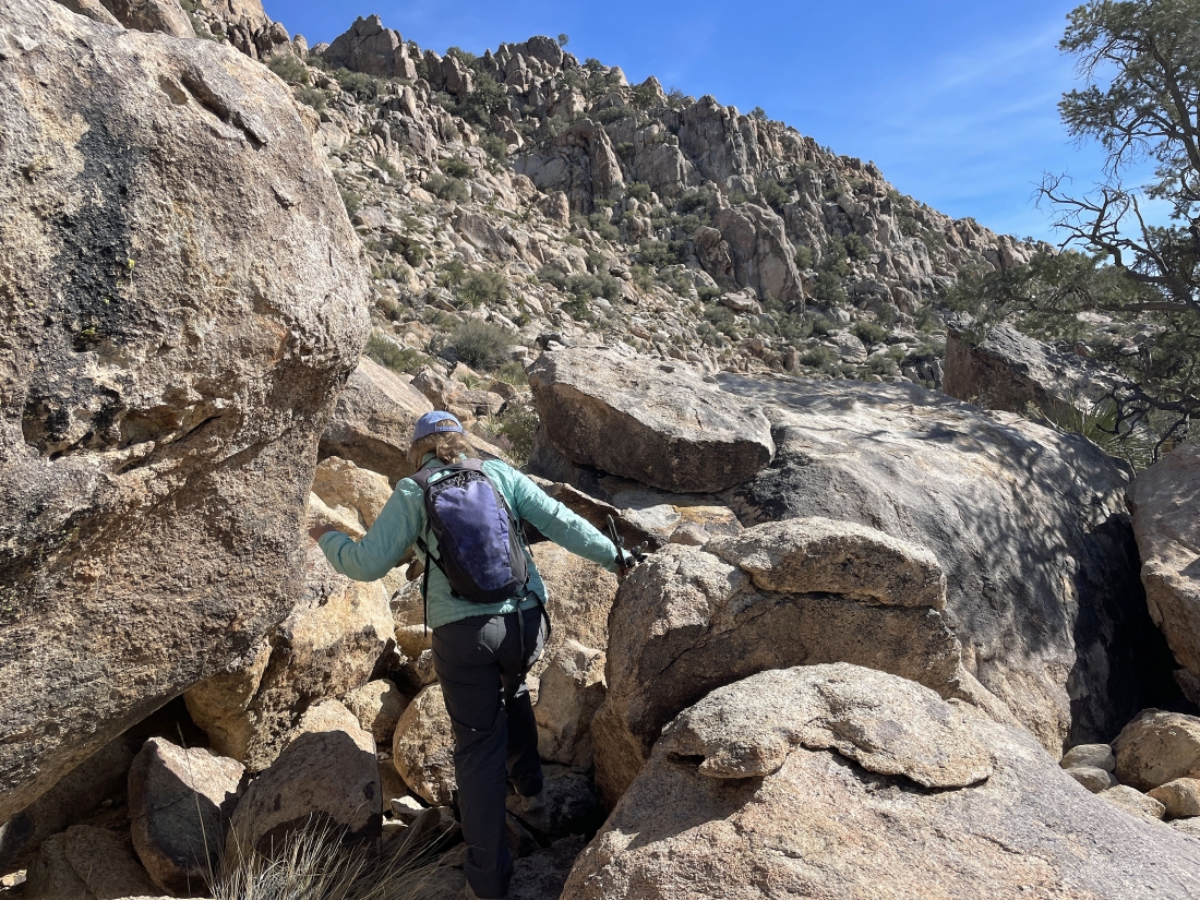
Looking back at Denali Girl as she works here way up to join Star Dancer and me.
|
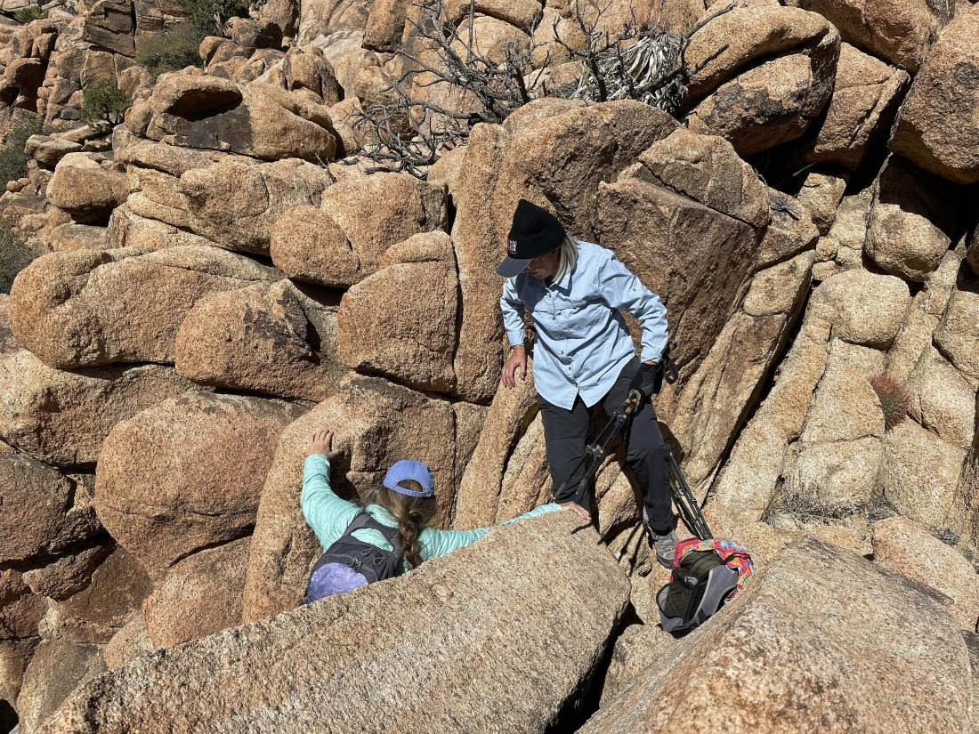
Doing a little scrambling.
|
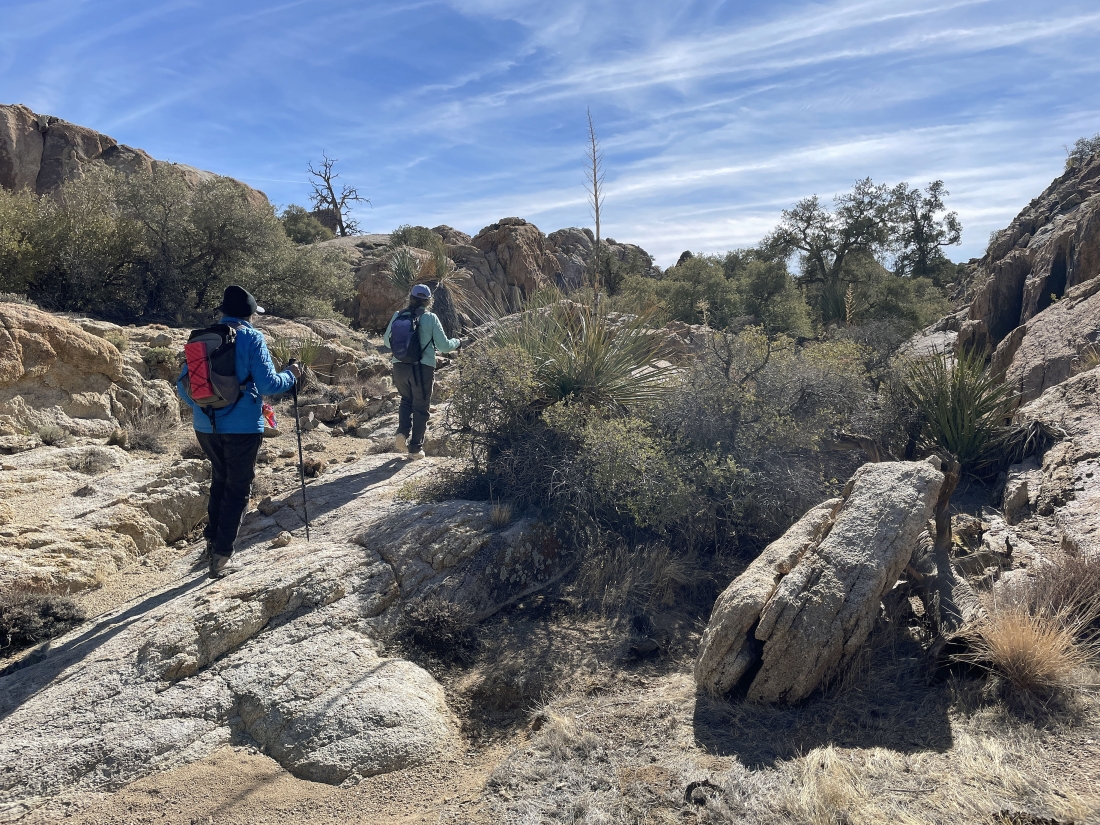
Hiking south now... getting ready to leave the wash.
|
|
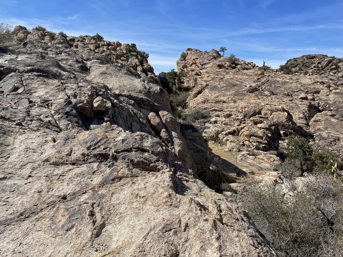
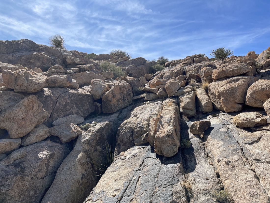
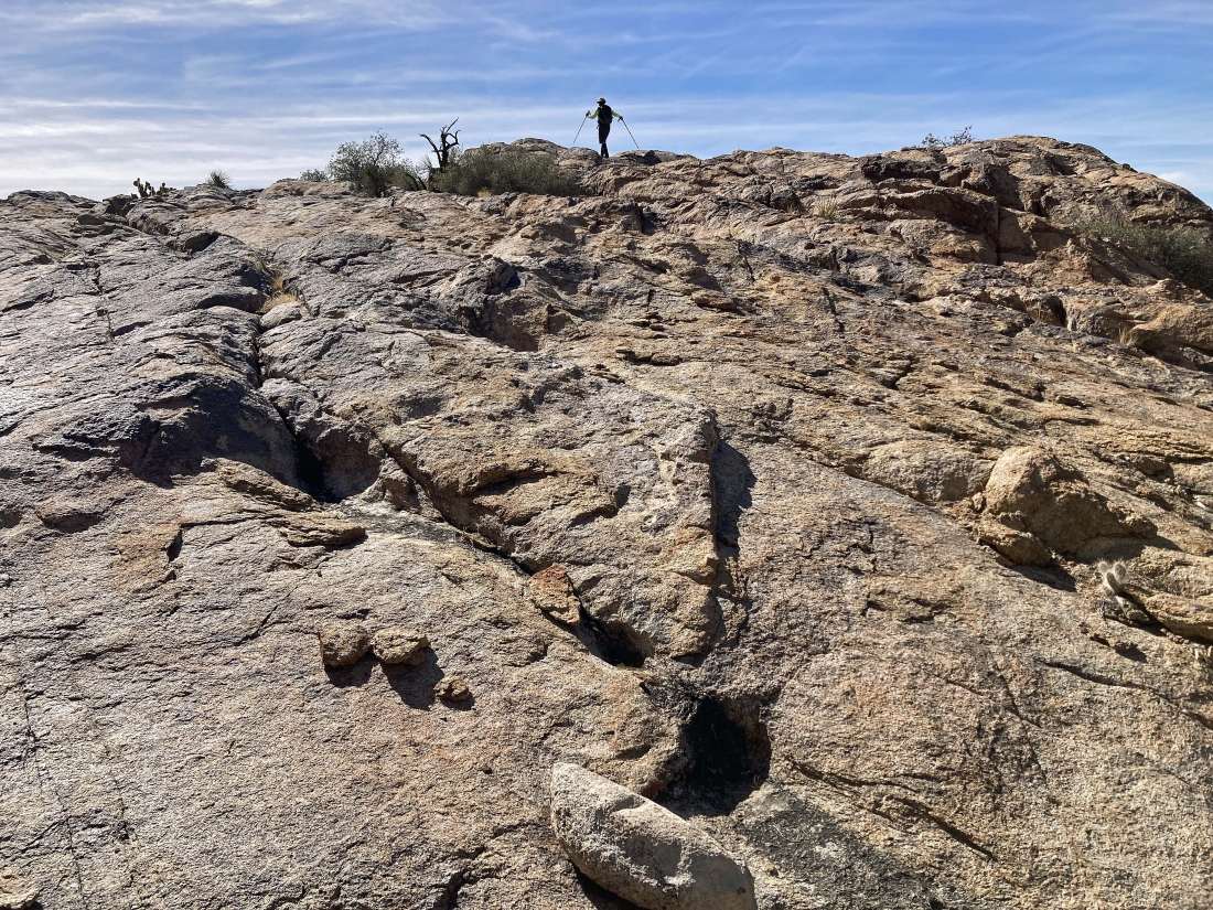
Whoa... we did not see this smooth rock coming.
|
From the smooth rock in the previous photo I took this photo looking NW (left) to NE (right)... with the Queen Mountain summit barely visible out there through the gap in the right-center of the photo.
|
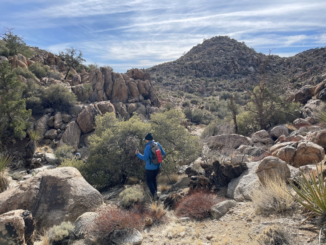
Still in the quarter mile of smooth rock... I decided to head up to the high point on the right-center of the photo.
|
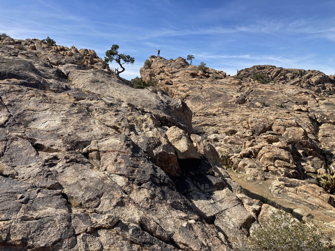
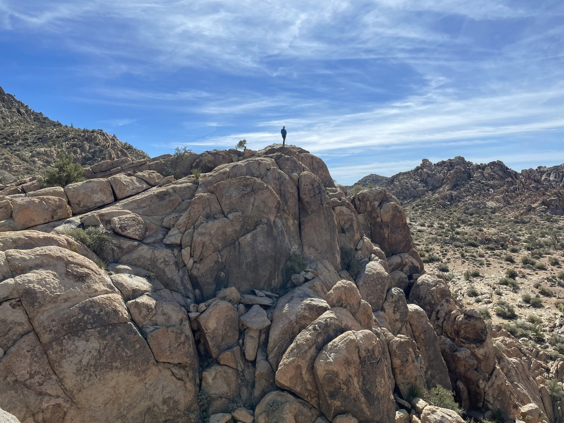
Denali Girl took this photo of me on the summit of the high point I headed for in the previous photo.
|

I took this photo looking west from where I was standing in the previous photo... looking across the huge wash to the backside of Tanzbodeli on the far right.
|
|
Looking east from the previous photo... and I'm not real sure where the Queen Mountain summit is... I'm watching Denali Girl head for the top of the huge rock formation in the far right foreground.
|
Denali Girl has reached the top of the huge rock formation... I will head over to join her.
|
Working my way over to join Denali Girl on her high point.
|
I have reconnected with Denali Girl.
|

Okay... let's head over to that high point in the right-center foreground.
|
|
Denali Girl is heading for the high point in the far right foreground... this quarter-mile of smooth rock is just amazing.
|

Working our way over to the next high point.
|
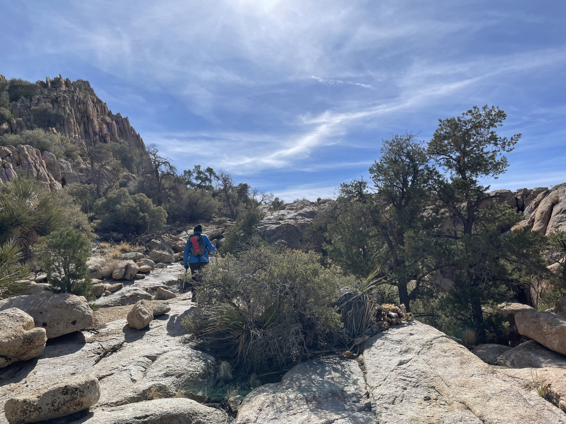
Continuing to hike on smooth rock... heading for our next high point up there beyond the tree in the left-center of the photo.
|

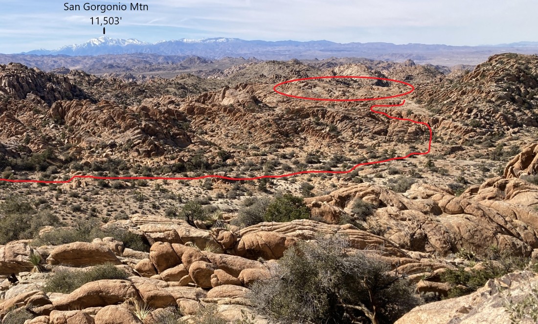
Looking through this narrow gap to the snow covered San Gorgonio Mountain on the horizon... at 11,503 feet San Gorgonio is the high point in southern California.
|
Still hiking south and heading for our next high point.
|
High enough to see Tanzbodeli (the little dance floor).
|
Denali Girl took this zoom photo looking west... showing how to reach Tanzbodeli using the huge wash that we were using earlier.
|
Denali Girl took this photo of me on our last smooth rock high point.
|
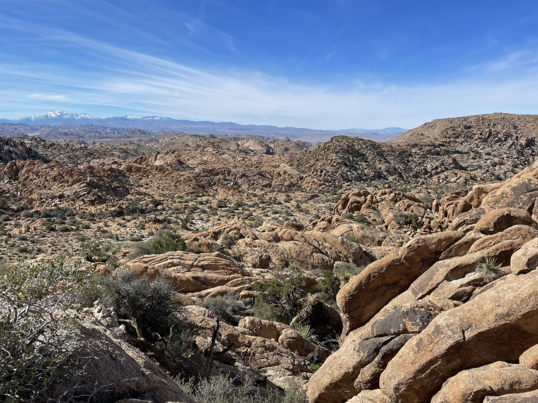
Standing on our last smooth rock high point... here looking south (left) to Ryan Mountain on the left horizon... and west to San Gorgonio Mountain on the right-center horizon... with Tanzbodeli in the far-right foreground.
|
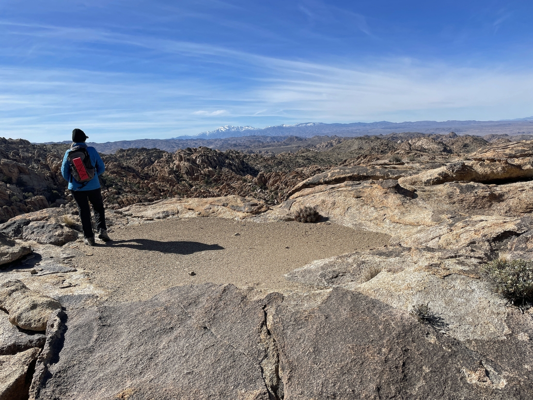
Standing on our last smooth rock high point... Denali Girl has found her empty bath tub.
|
We have left the quarter mile of smooth rock and are still hiking south... trying to get back to that box canyon that we entered 3 hours ago.
|

Still hiking south as we continue searching for the box canyon.
|
Still hiking south as we continue searching for the box canyon.
|
Still hiking south as we continue searching for the box canyon.
|
Still hiking south as we continue searching for the box canyon.
|
We have found a way to get back down to the box canyon... where we will close the 2.2 mile loop of our hike.
|
We have returned to the box canyon and are getting ready to leave it... now tracing our steps back to the car.
|
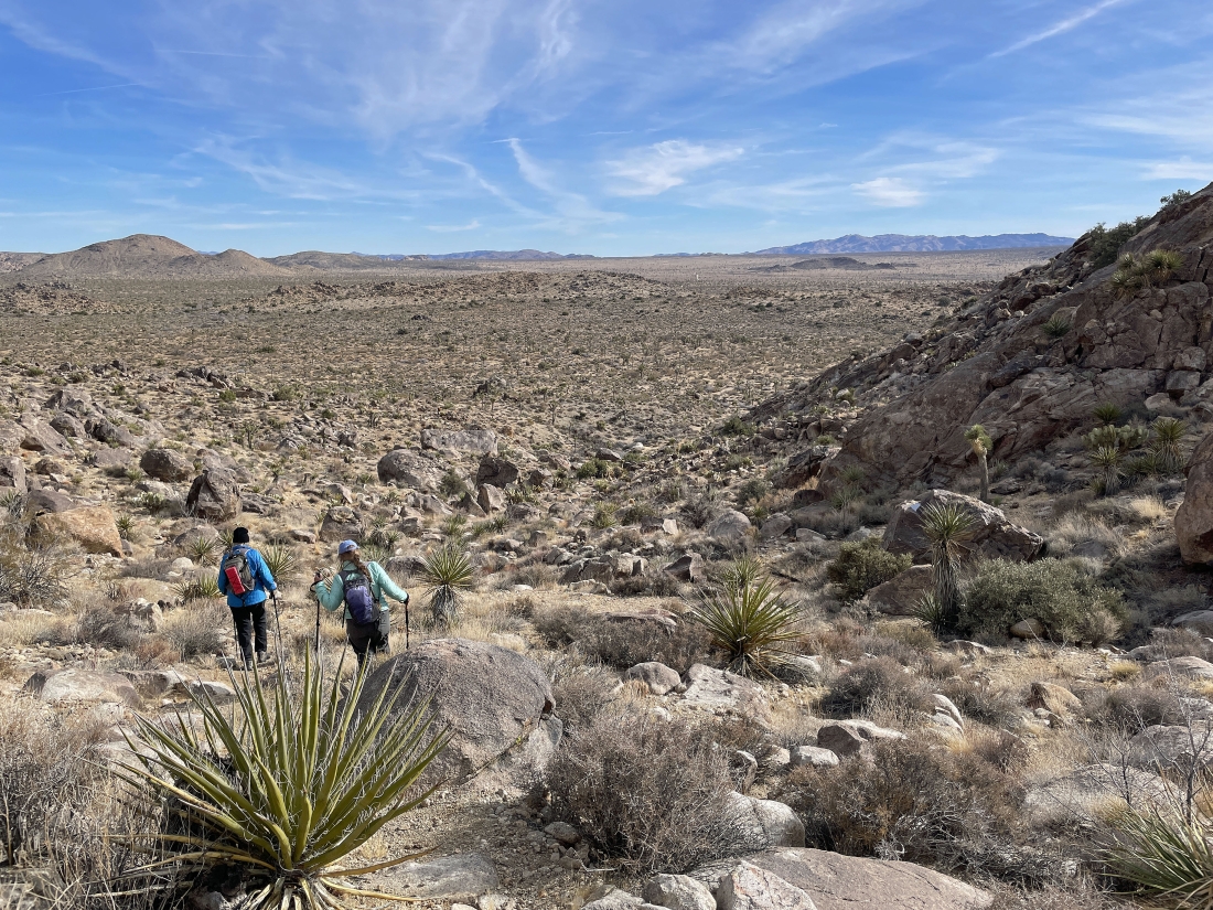
Tracing our steps back down to Queen Valley.
|
Almost back to that pile of huge black boulders... leaving another half-mile to get back to our car.
|

We are a stone's throw from our car out there in the middle of the photo... the total hike was 5.6 miles, gaining 801 feet of elevation.
|
