The Temple and Point 4243 - 2.19.2025
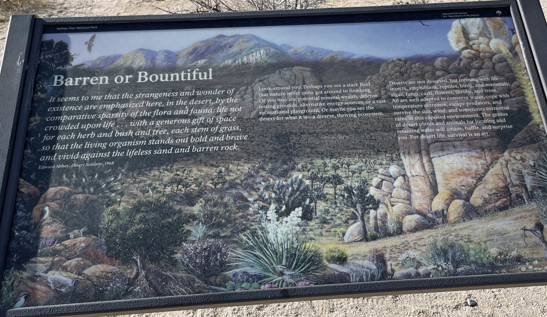
From the north entrance of Joshua Tree National Park we drove 3.1 miles on Park Blvd and parked at an exhibit with a sign that was titled 'Barren or Bountiful'.
|
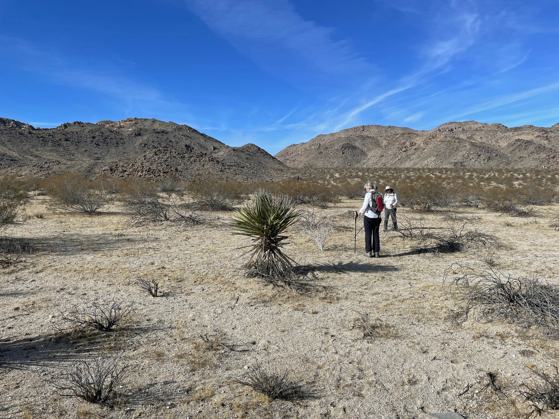
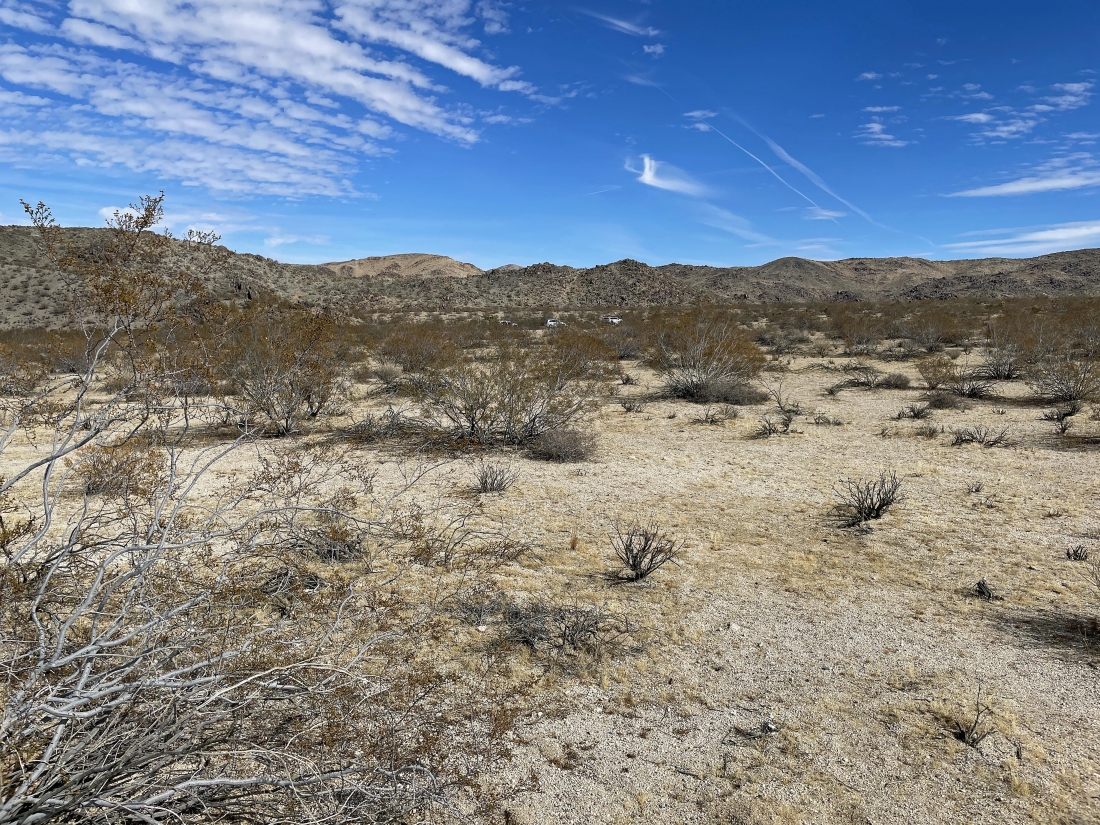
Leaving the car and hiking SW across the desert... heading for the low point out there in the middle of the photo.
|
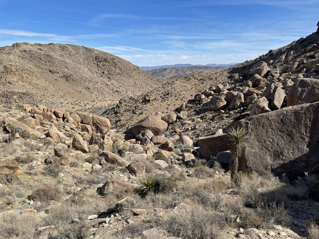
After hiking a mile we have entered a huge wash and I can see the gully on the far left that I will be coming down later in the day... for now I will continue hiking up the wash and take the next gully up there in the middle of the photo.
|
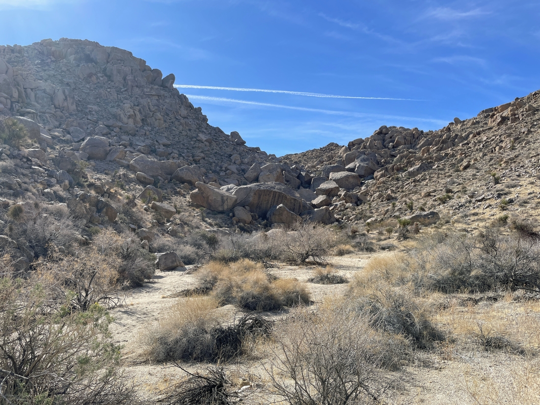
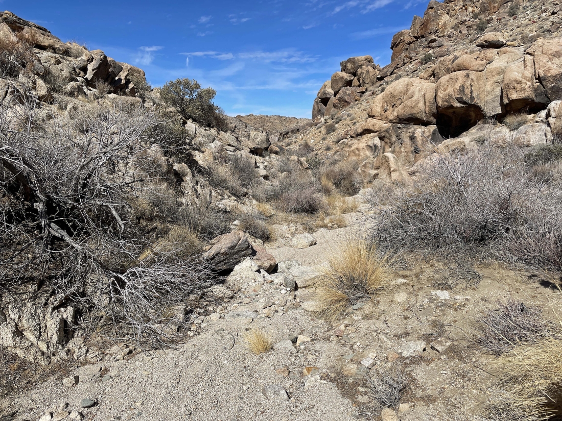
After hiking a total of 1.2 miles we are getting ready to leave the wash and head south up this gully.
|
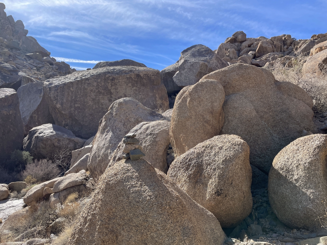
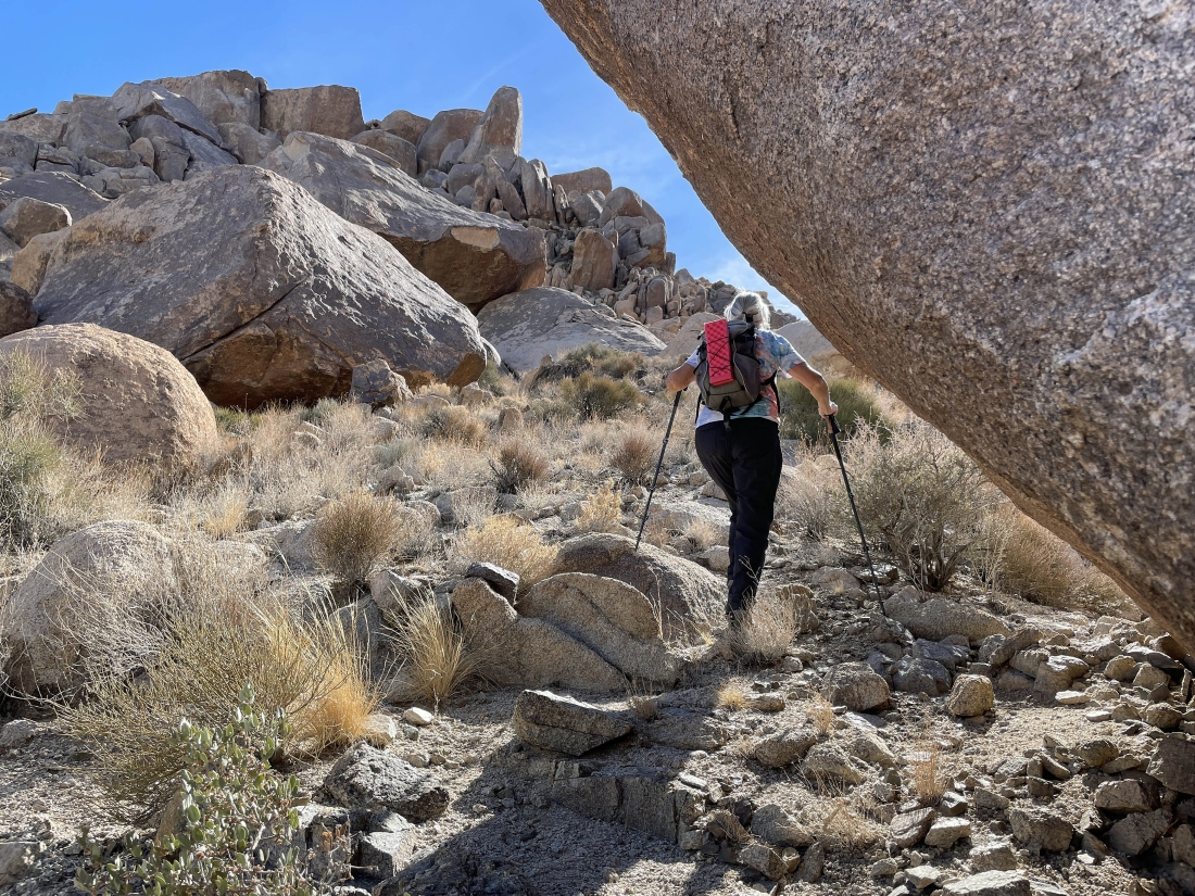
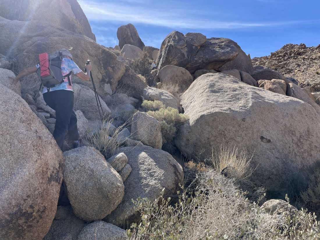
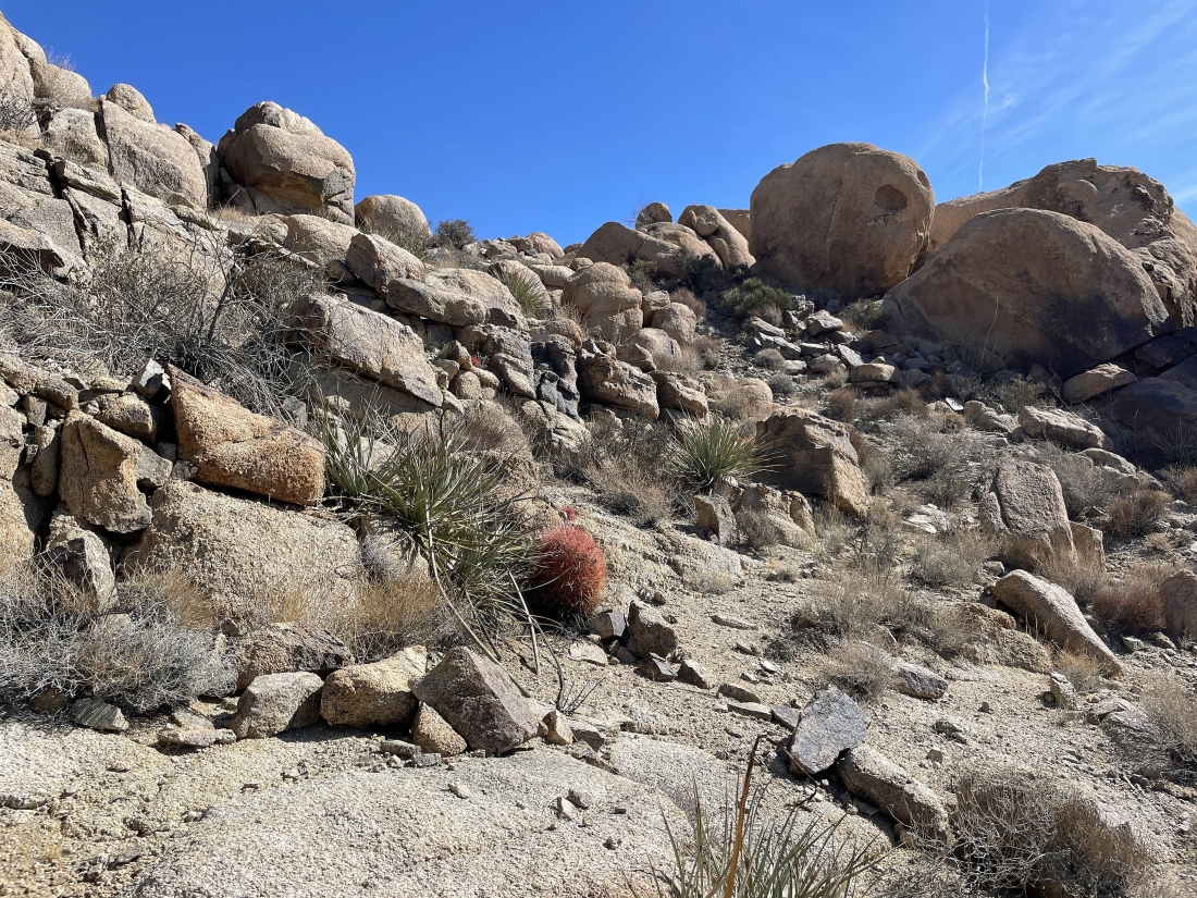
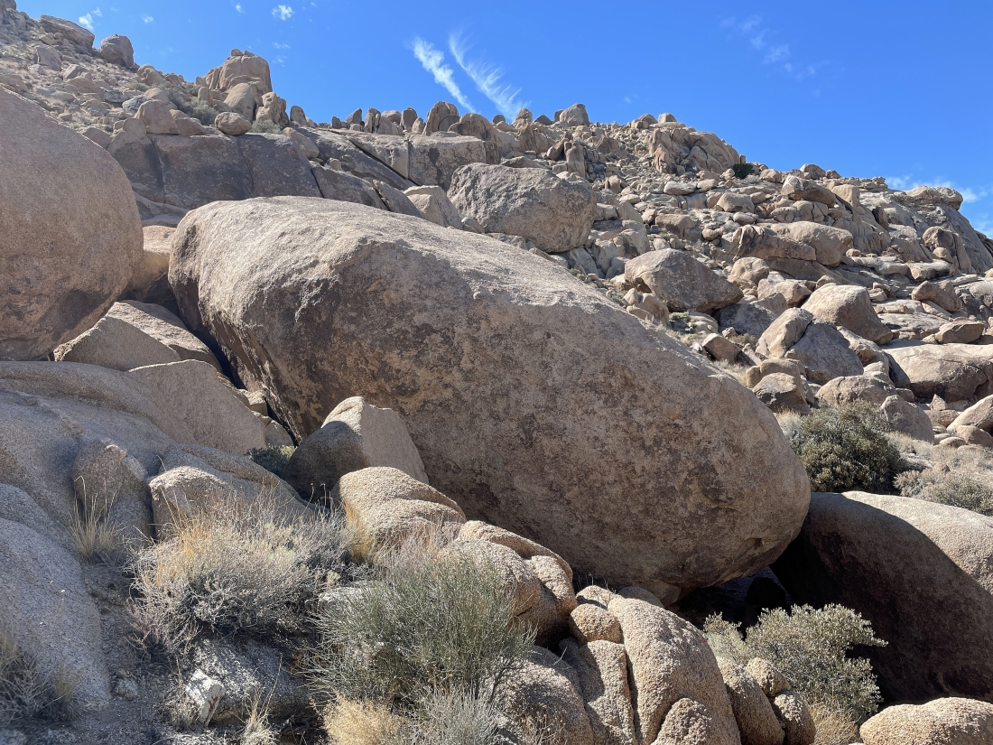
There is a cairn in the foreground... but we still have to find a path through the big boulders... gaining elevation now.
|
Looking back at the boulders we scrambled through in the previous photo.
|
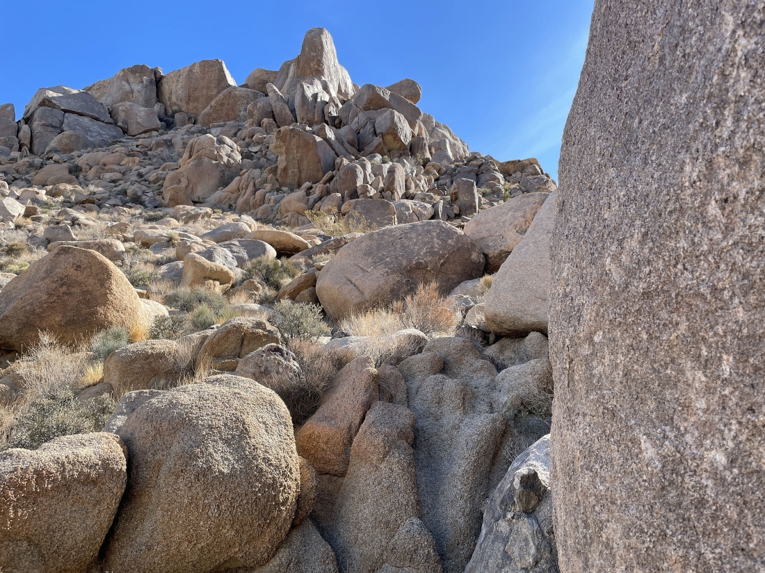
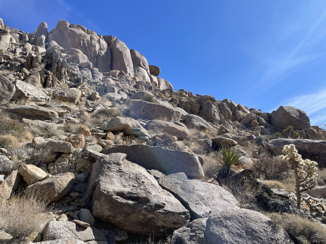
Continuing to gain elevation up the gully... heading for the huge rock wall in the distance.
|
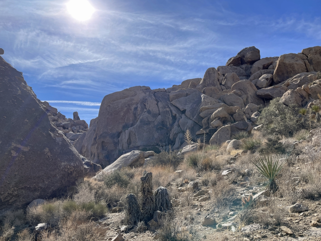
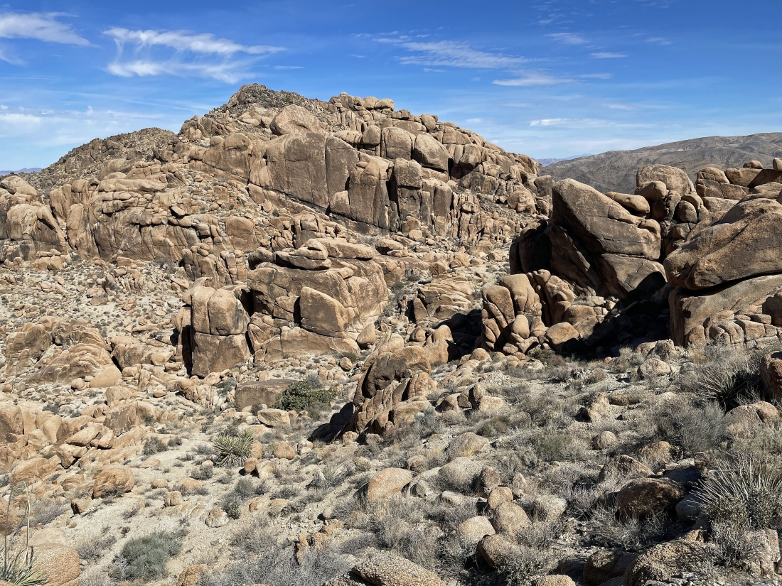
We have reached the huge rock wall in the previous photo... and it will push us to the left (SE) to get around the wall... and 'The Temple' is up there on the horizon somewhere.
|
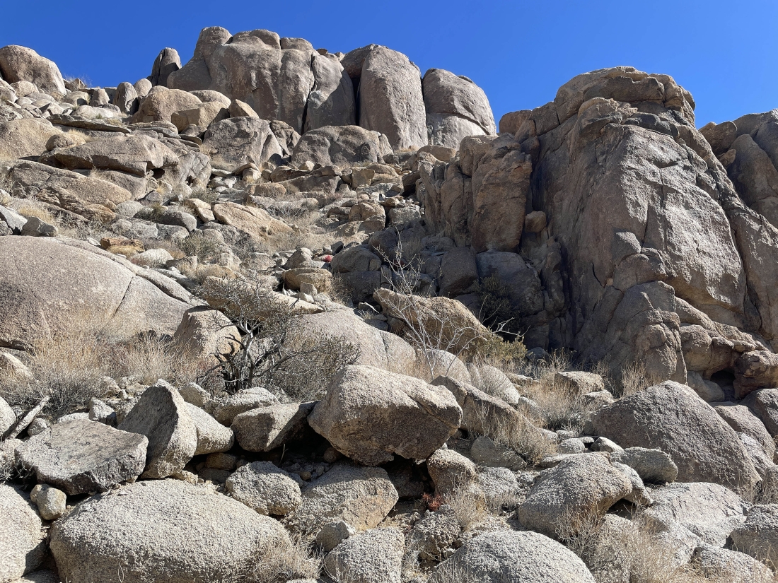
We have found a way to get around the huge rock wall in the previous two photos.
|
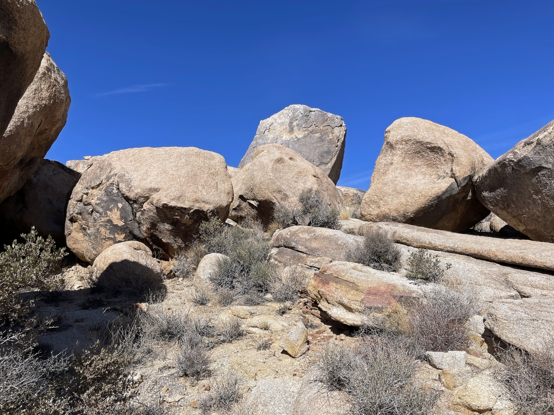
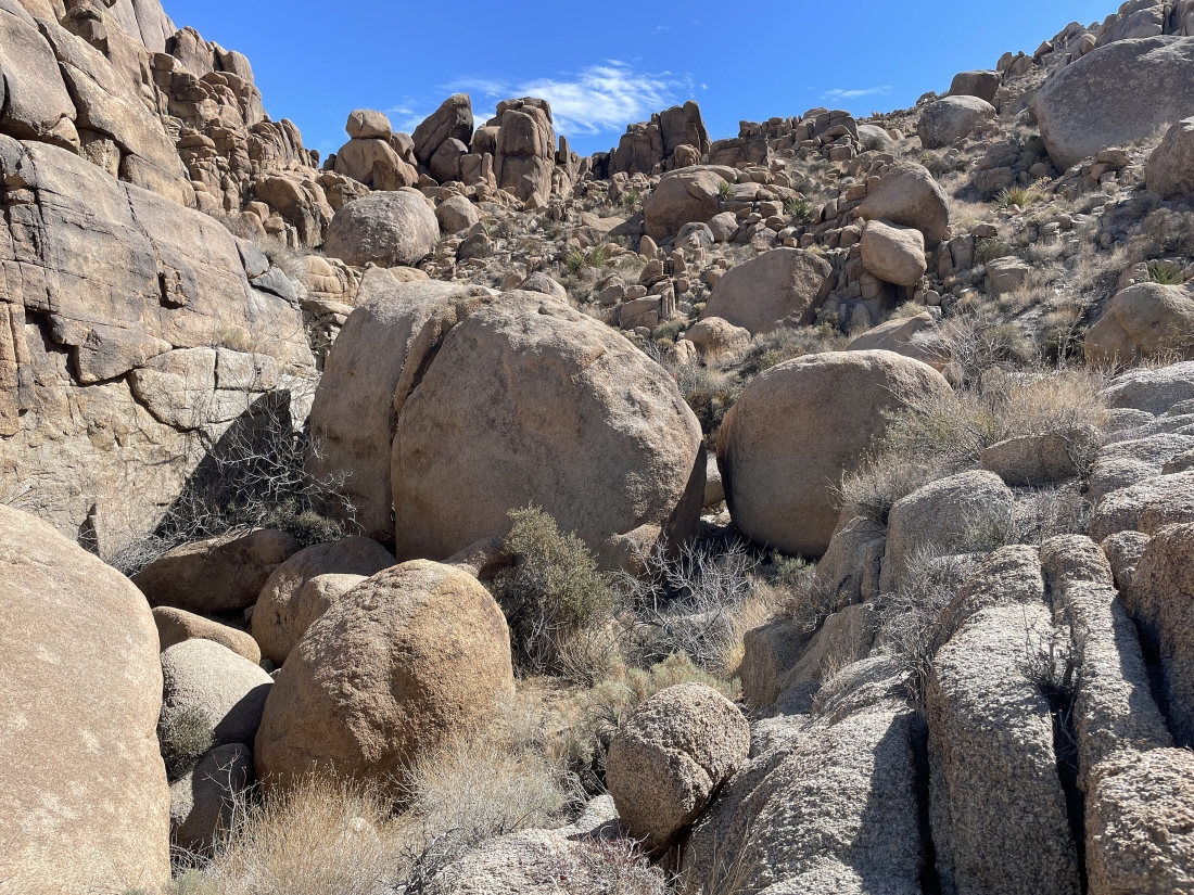
Looking back at the boulders we have worked our way through.
|
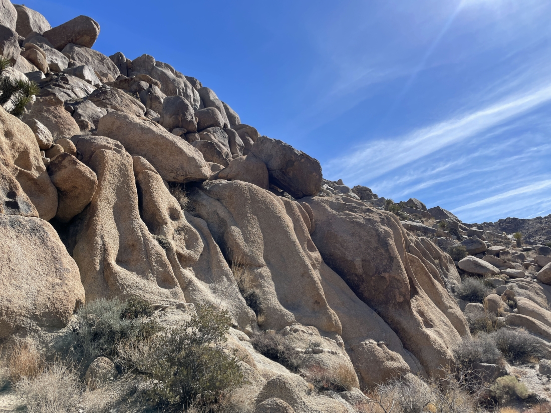
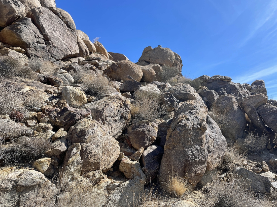
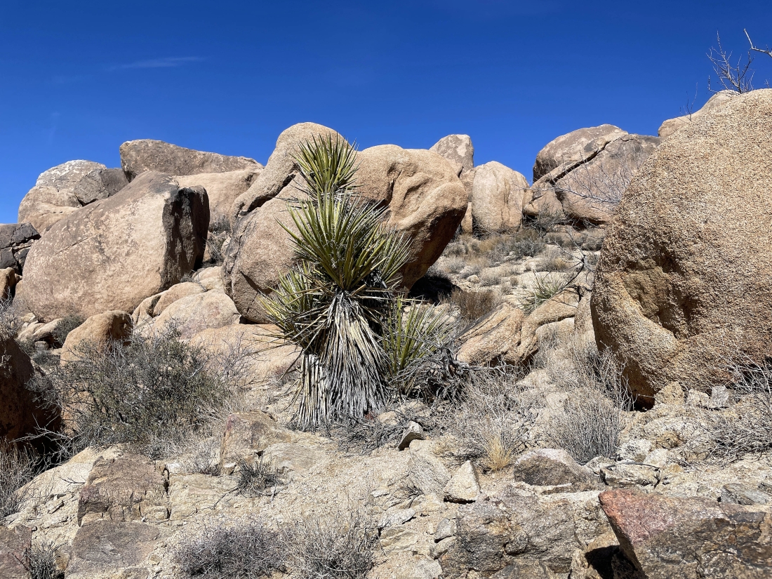
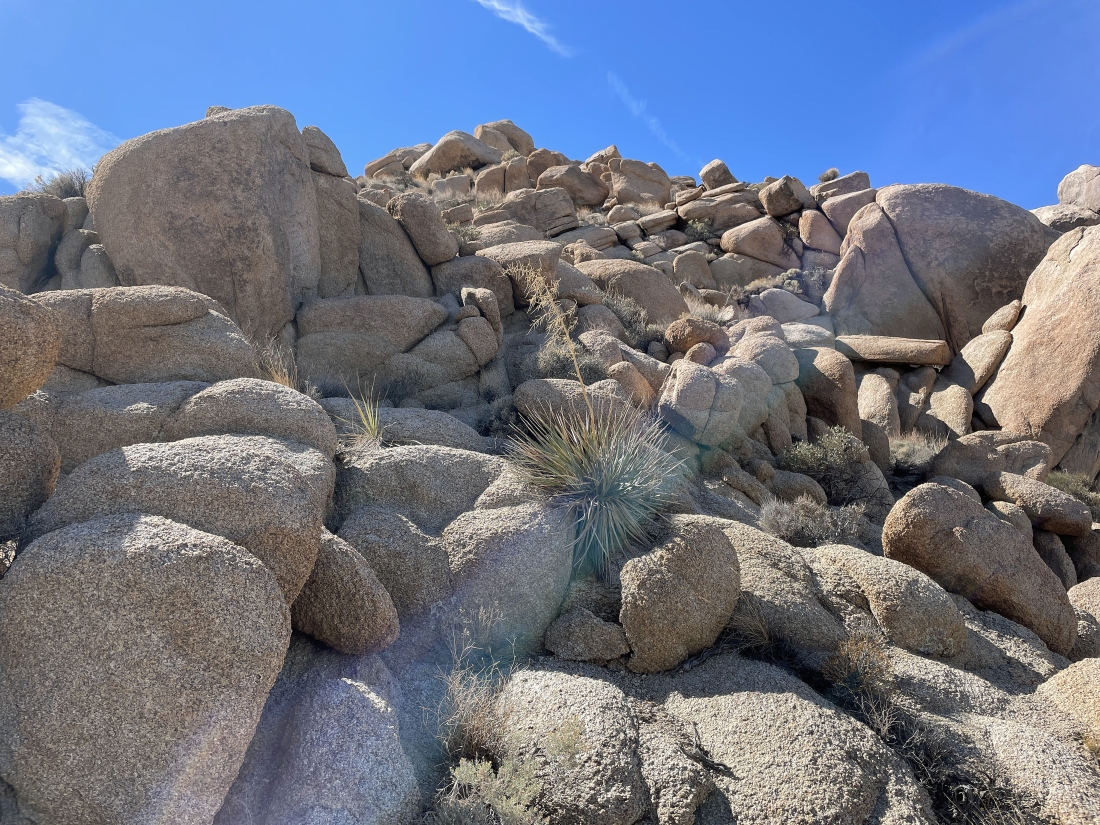
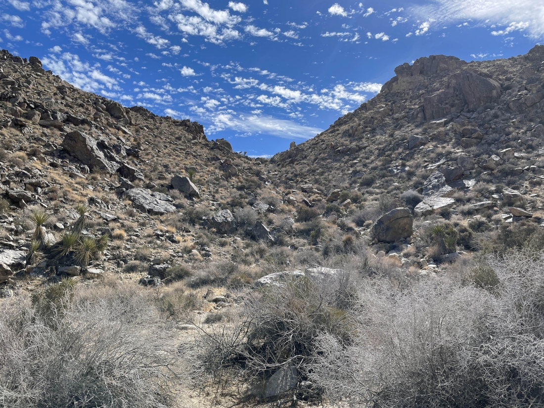
Still gaining elevation up the gully.
|
The Temple and Point 4243 are up there somewhere... I decided to go up that way while Star Dancer and Denali Girl stayed in the gully.
|
Denali Girl took this photo of me working my way up to The Temple and Point 4243.
|
Now hiking east and looking for a reasonable route up to the The Temple and Point 4243... here I will be staying to the right until I can see a reasonable route up to the top.
|
I will head up to the monster rock wall and then go to the right again.
|
Working my way up to the monster rock wall in the previous photo.
|
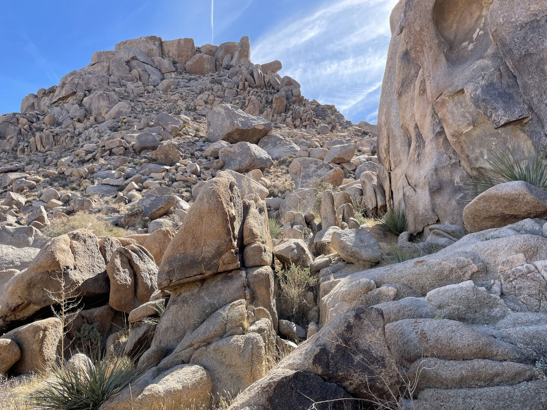
I have reached the monster rock wall and it has definitely sent me to the right.
|
Staying to the right... and I am looking down on the wash where I left Star Dancer and Denali Girl.
|
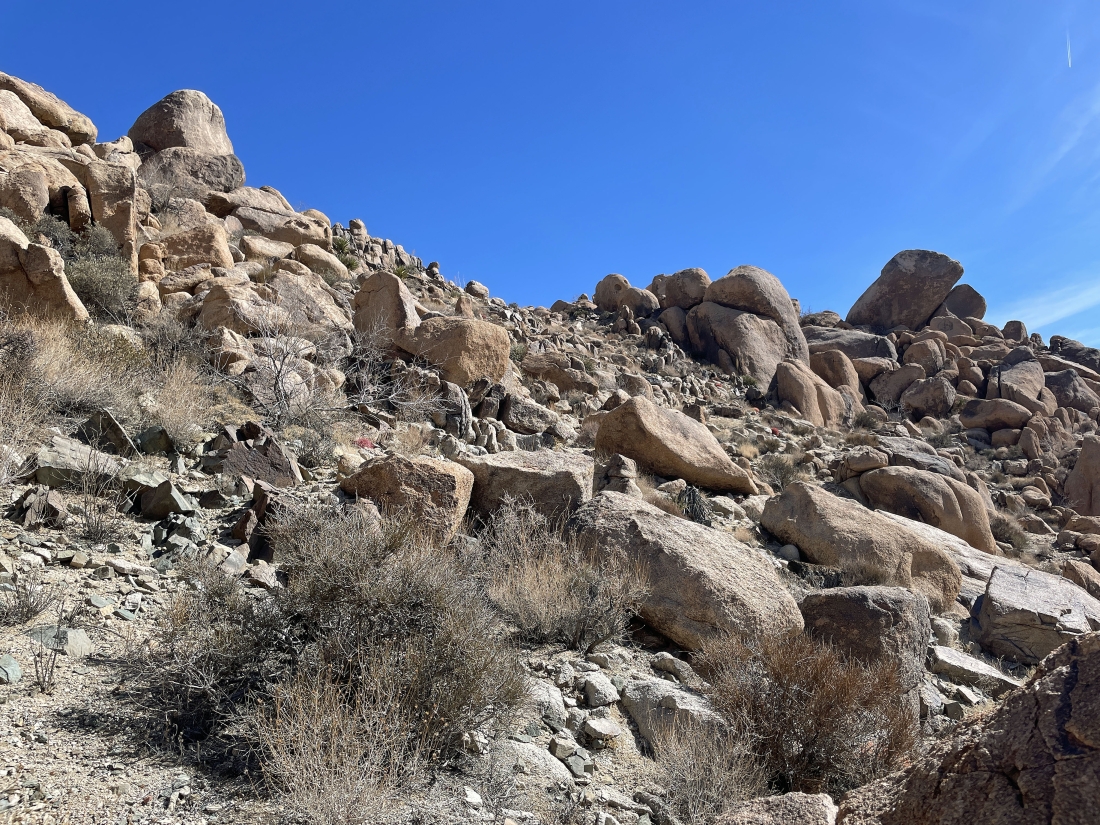
The terrain has eased up a bit... and I am going to head for the low point on the horizon in the middle of this photo.
|
Almost up to the low point in the previous photo.
|
|
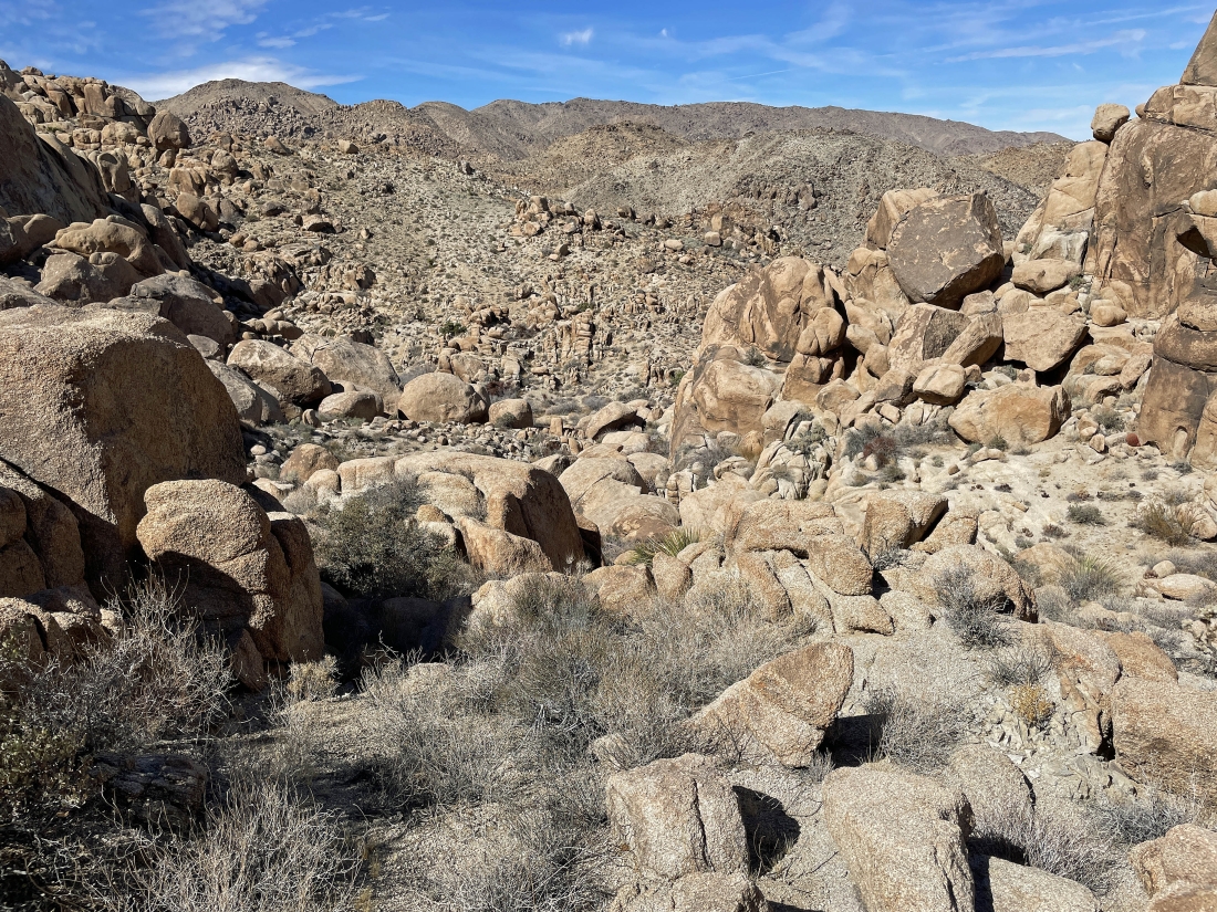
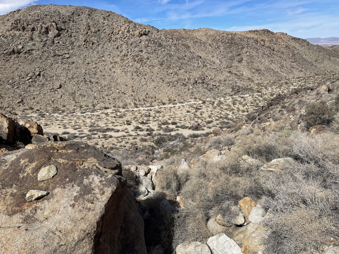
I have reached the low point from the two previous photos... In the foregound I am looking across the valley at the Twentynine Palms Mountains and a tiny portion of the Pinto Mountains... the huge valley out there on the far left houses the 'Marine Corps Air Ground Combat Center'... the largest Marine Corp base in the United States.
|
Now doing a short hike to the NW to find The Temple and Point 4243.
|
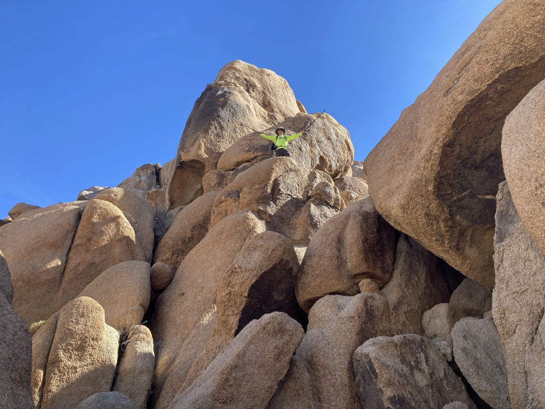
I guess the tall rock formation is The Temple.
|
Standing on Point 4243... looking back at The Temple in the foreground... with more points in the far right foreground... and more of the Pinto Mountains beyond the points in the far right foreground.
|
Still on Point 4243... looking east (far left) to the south (middle) and to the west (far right).
|
Time to leave Point 4243 and trace my steps back a very short distance to where I had initially reached the ridge... then I will continue back to the car on some new terrain.
|
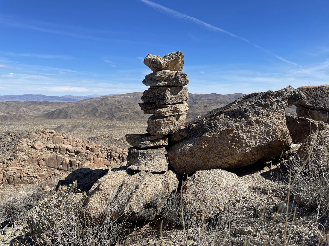
Well... pretty obvious that I wasn't the first person here.
|
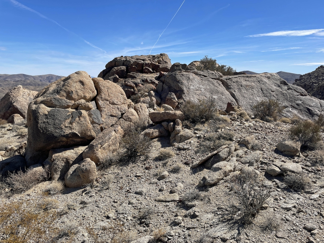
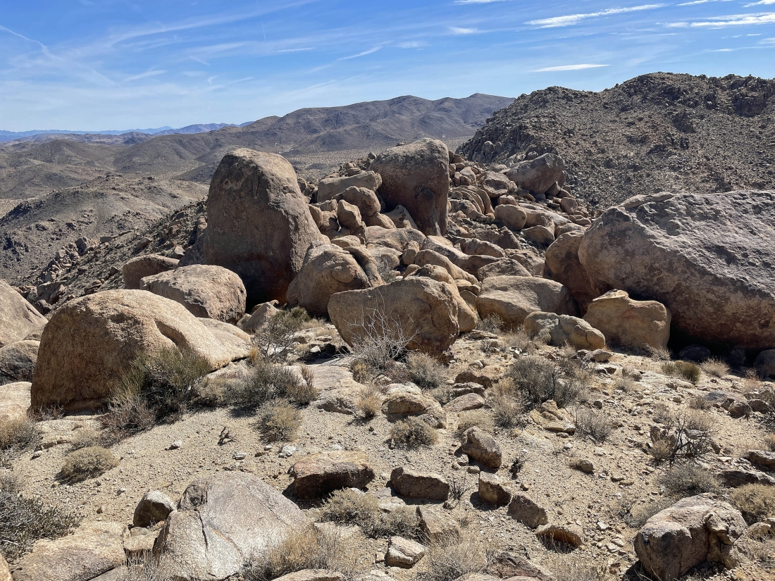
Still on the ridge... and it looks like another nice viewpoint.
|
I will continue down... working my way over to the huge wash in the far left foreground.
|
Working my way down into the box canyon... here looking back at The Temple and Point 4243 on the far left.
|
|
Working my way down to the box canyon... looks like a lot of work remains to get back down to the wash in the extreme far left foreground.
|
Looking back as I work my way down to the box canyon.
|
Continuing to work my way down to the box canyon... but I see a flatish area over there in the middle of the photo... so I will check it out before continuing down to the floor of the box canyon.
|
Heading over to the flatish area in the previous photo.
|
I have left the flatish area in the previous photo and continuing to head down to the floor of the box canyon... here looking up toward The Temple area at the top of the photo.
|
|
The other side of the box canyon as I work my way down.
|
Still working my way down to the floor of the box canyon.
|
Looking back as I work my way down to the floor of the box canyon.
|
Almost down to the floor of the box canyon.
|
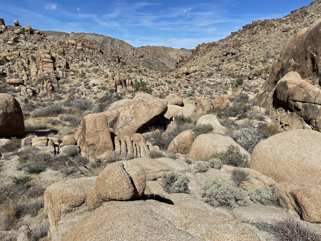
Looking back up the box canyon... The Temple and Point 4243 are somewhere up there on the right.
|
Almost out of the box canyon.
|
Still a little work to do to get back down to the huge wash that we used to get in here.
|
Back in the huge wash... closing the 1.5 mile loop portion of the hike... here looking back at the entrance to the box canyon that I have just come down.
|
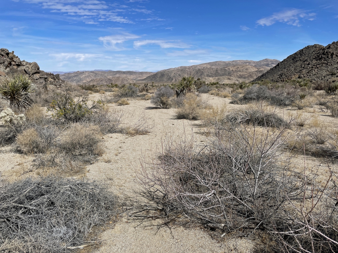
Tracing my steps back to the car in the huge wash.
|
I am a stone's throw from the car... the total hike was 3.5 miles, gaining 890 feet of elevation.
|
