Pyramid Peak and Little Desert - 2.25.2025
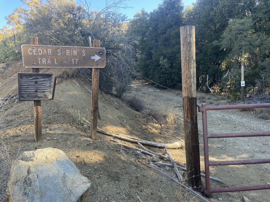
We parked at the trailhead for the Cedar Springs Trail... and got there by turning off of California's Hwy 74 onto Morris Ranch Road and then driving 3.7 miles to the trailhead... just a stone's throw from the entrance to Camp Scherman.
|
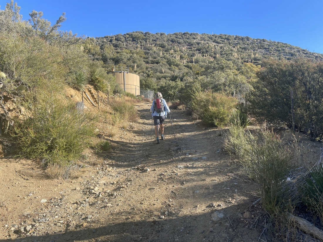
The first three-quarters of a mile of the hike was on a dirt road.
|
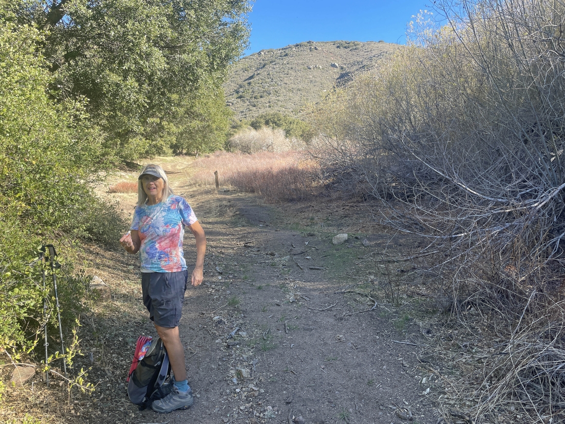
After hiking one mile we have reached a meadow... still on the dirt road.
|
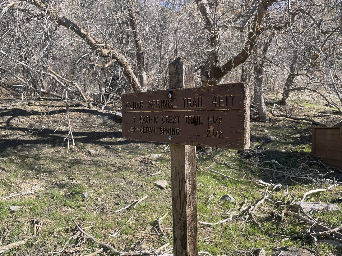
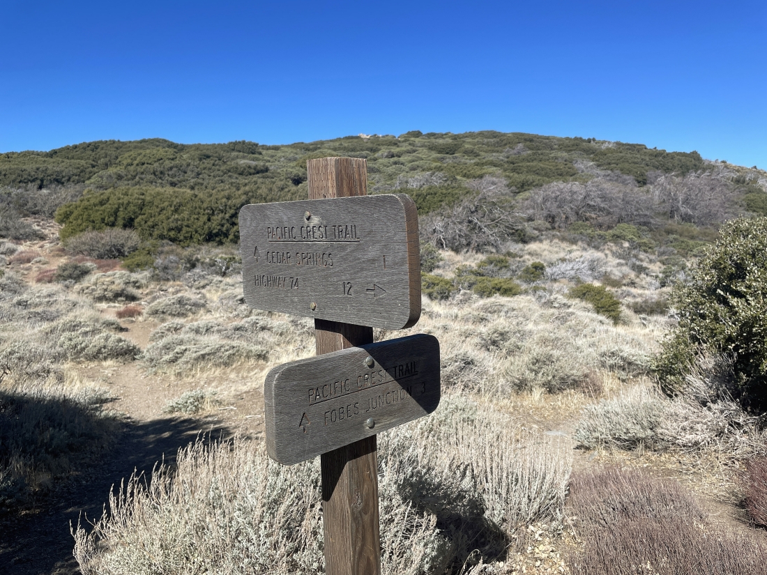
This sign was in the meadow... saying that the Pacific Crest Trail is another 1.5 miles... but it is really only 1.3 miles.
|
Just beyond the meadow we have started to switchback our way up to the PCT.
|
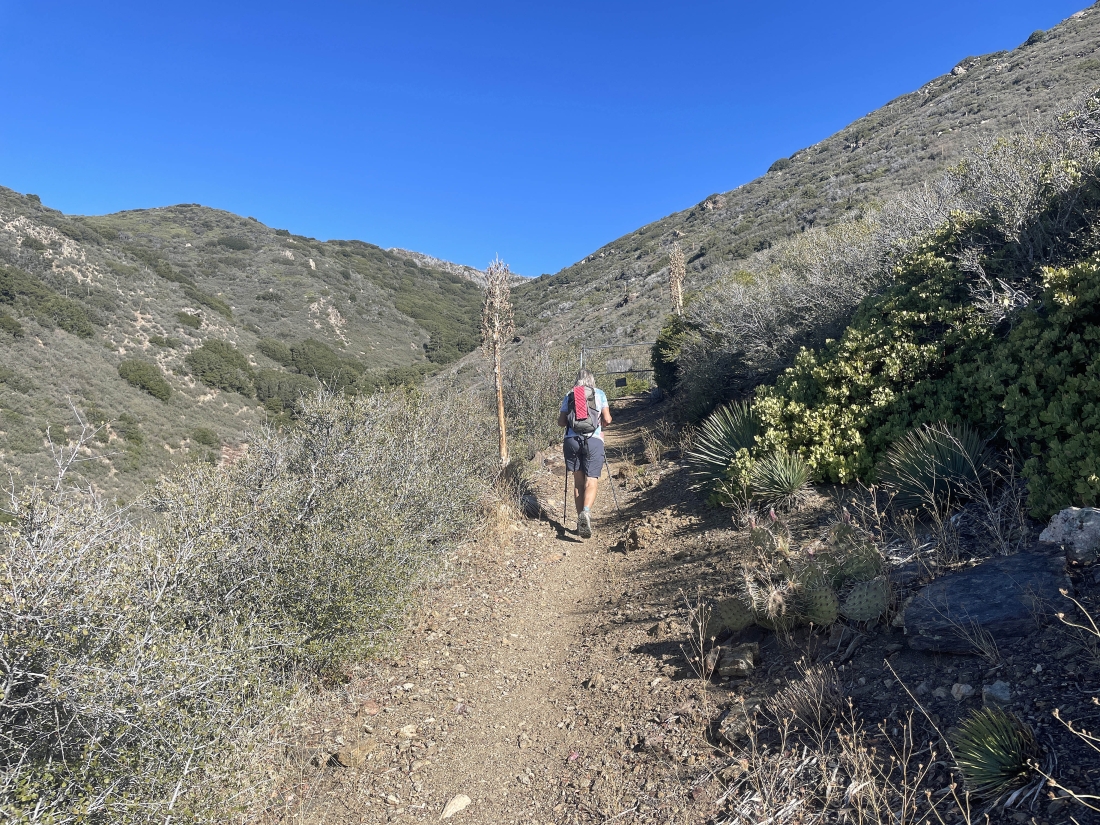
Hiking on the Cedar Springs Trail and continuing to switchback our way up to the PCT.
|
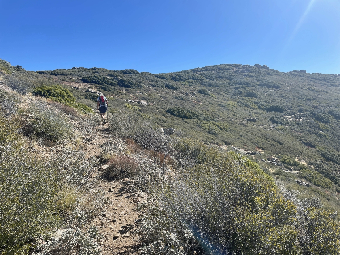
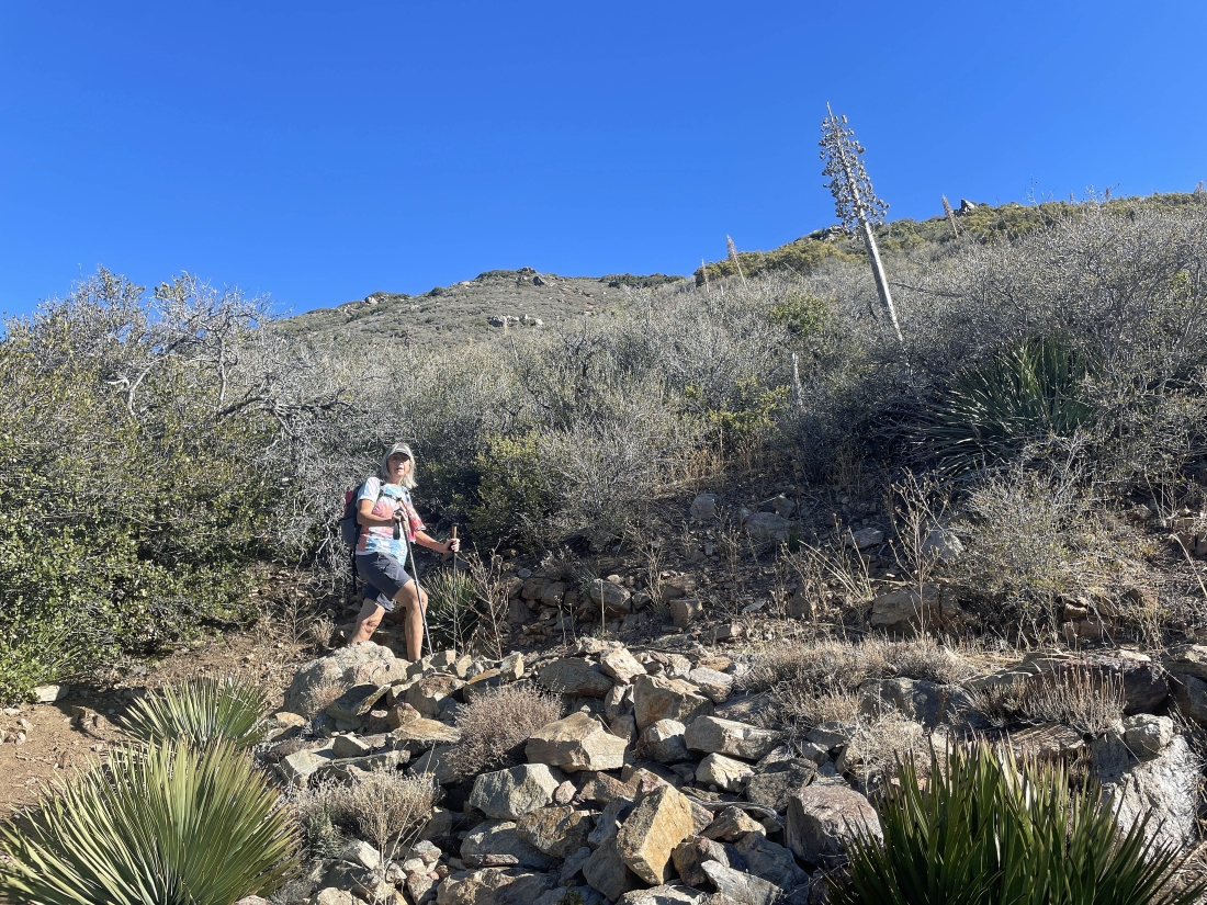
Still switchbacking our way up the Cedar Springs Trail... with the 'Little Desert' up there on the right horizon.
|
After hiking a total of 2.3 miles on the Cedar Springs Trail we have reached the PCT... and will start hiking south on the PCT... looking for the 'Little Desert'.
|
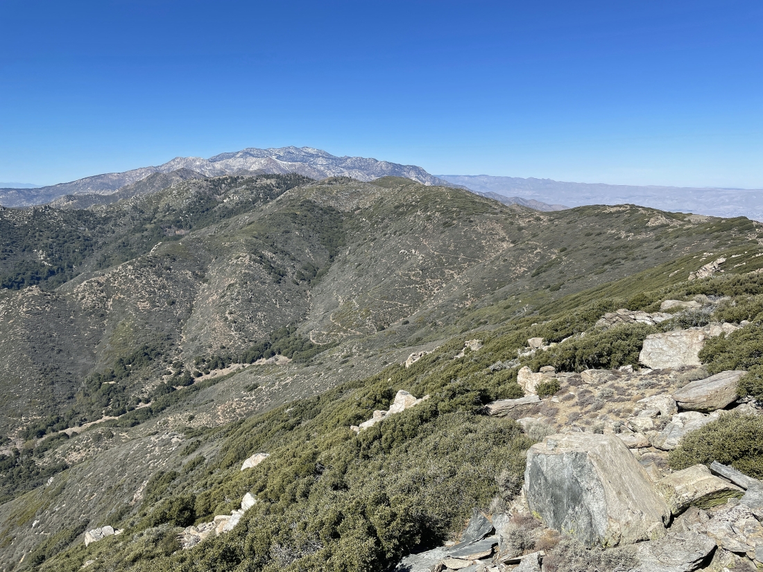
After hiking a third of a mile on the PCT we have reached the 6,868 foot high 'Little Desert'... and I have no idea how it got the name... from here we will continue on the PCT to reach Pyramid Peak in the left foreground... with Thomas Mountain across the valley in the middle of the photo... and the snow covered 10,000 foot peaks of the San Jacinto Mountains on the far right horizon.
|
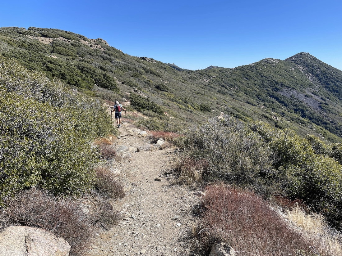
Continuing to hike south on the PCT... Pine Mountain is in the far right foreground with Martinez Mountain and Santa Rosa Mountain on the horizon beyond Pine Mountain... looking across Coachella Valley to the Little San Bernardino Mountains on the left horizon.
|
|
Nearing Pyramid Peak in the right foreground... with Pine Mountain out there on the far left.
|
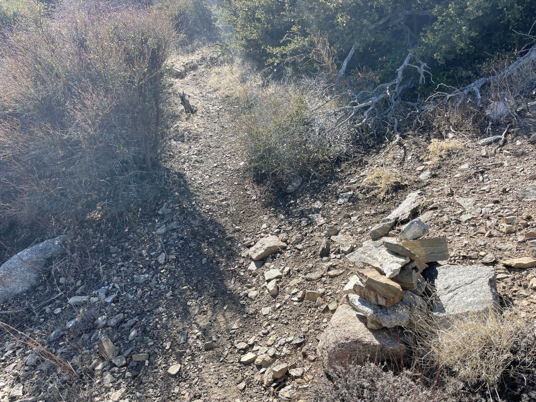
After hiking a total of 3.4 miles we have found a huge cairn that pretty much tells us to leave the PCT and head up to the top of Pyramid Peak.
|
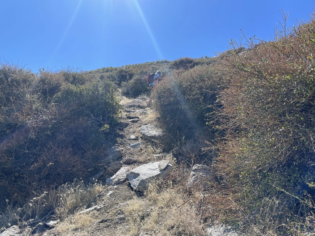
The route up to the top of Pyramid Peak is well defined.
|
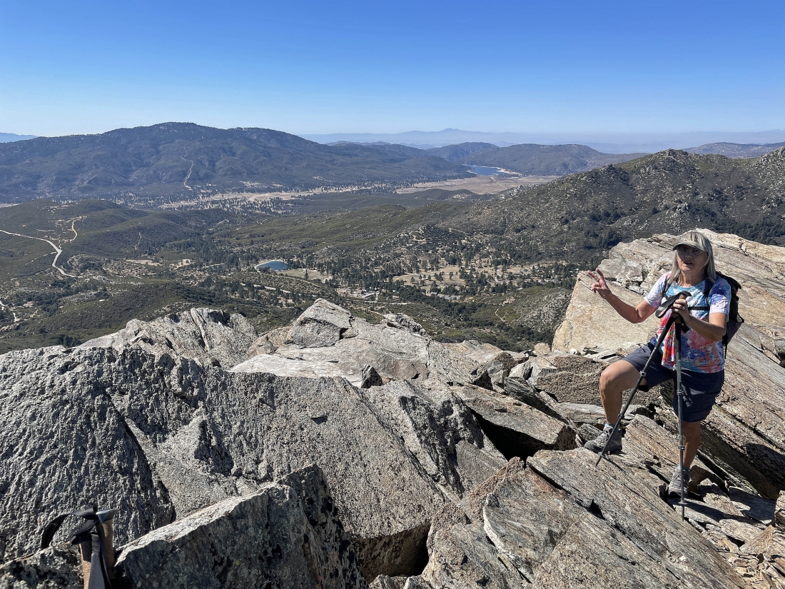
After hiking a total of 3.6 miles we have reached the 7,035 foot summit of Pyramid Peak... with Thomas Mountain across the valley on the left... with Lake Hemet out there in the distance across the valley on the right... and we can see the Morris Ranch Road down below on the left that we used to access the Cedar Springs Trail.
|
Denali Girl took this photo of me... looking down below at the Camp Scherman area which is a Girl Scout camp.
|
|
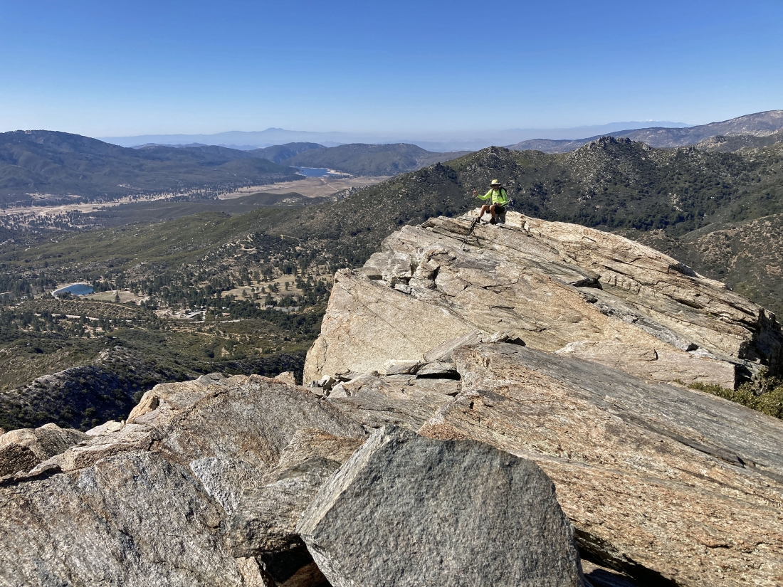
Still on Pyramid Peak in the San Jacinto Mountains... looking NW on the far left to the 10,000 foot peaks in the San Jacinto Mountains... looking NE across Coachella Valley to the Little San Bernardino Mountains in the middle of the photo... looking SE to Santa Rosa Mountain on the far right horizon.
|
Looking SE to Santa Rosa Mountain on the far left horizon... SW across the valley to Thomas Mountain in the center of the photo... and NW to the 10,000 foot peaks on the far right horizon.
|
Leaving the Pyramid Peak summit and tracing our steps back to the car... on the hillside in the middle of the photo you might be able to see the switchbacks that helped us get up to the PCT... and they will also help us get back down to the car.
|
Back on the Cedar Springs Trail... tracing our steps back down the switchbacks... with 'Little Desert' up there on the far left and Pyramid Peak in the distance on the far right.
|
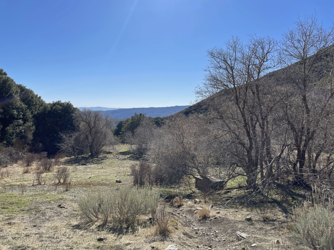
Done with the switchbacks and back in the meadow... leaving one mile to get back to the car... the total hike was 7.2 miles, gaining 1,868 feet of elevation.
|
