Coxcomb Foothills - 3.4.2025
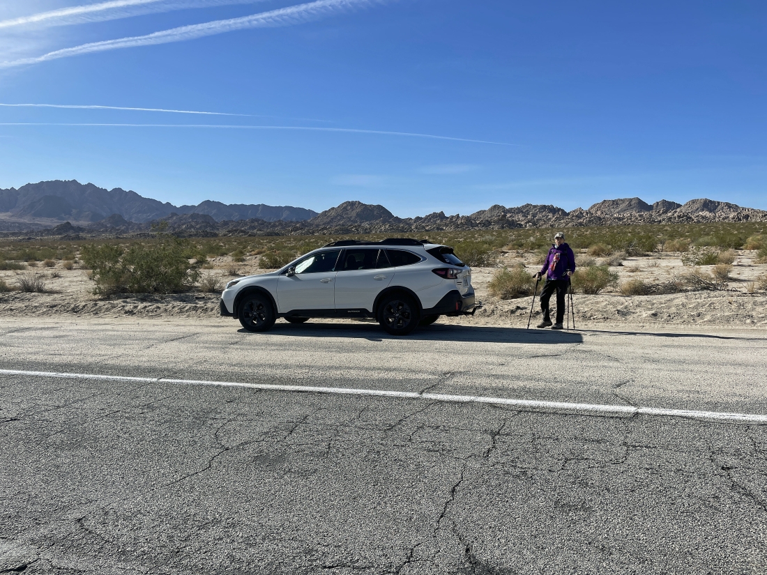
There is no trailhead... we parked at a 'Call Box' pullout on California's CA 62 Hwy (aka Twentynine Palms Hwy)... across the highway from the Sheephole Valley Wilderness... and this hike is in an unadvertised section of Joshua Tree National Park.
|
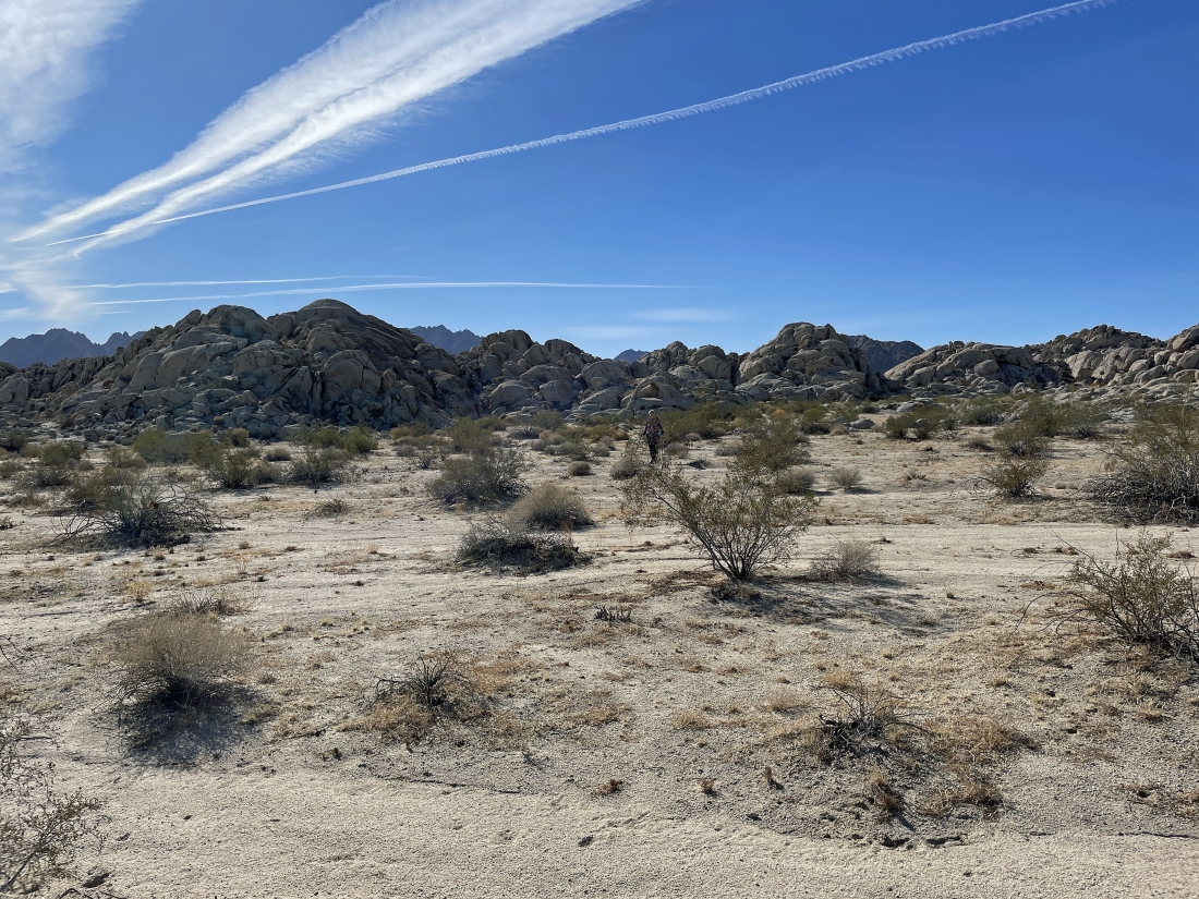
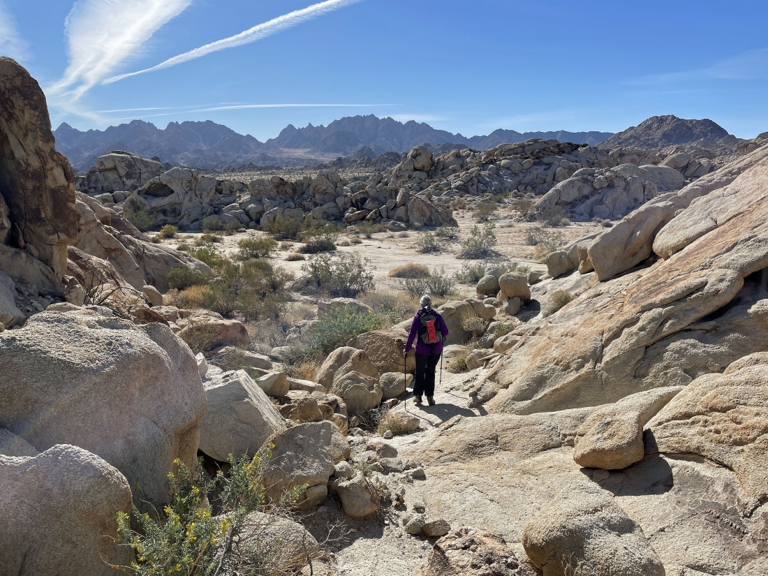
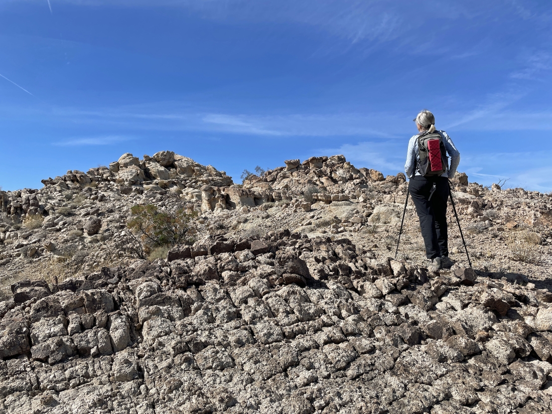
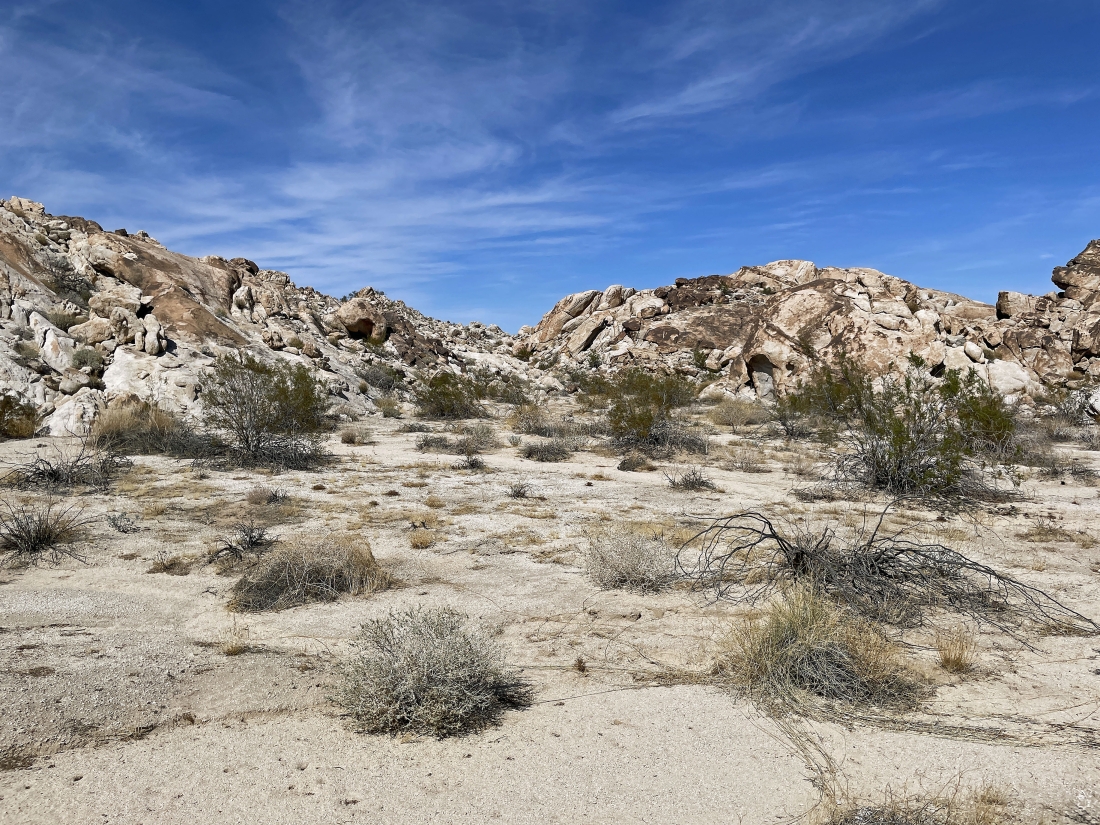
Leaving the car we will hike south across the desert floor toward the rock formations in the center of the photo... looking SE toward part of the Coxcomb Mountains on the left and left-center of the photo.
|
Hiking cross-country across the desert floor and getting closer to the rock formations that we saw from where we parked... and I think we can see an arch out there in the center of the photo.
|
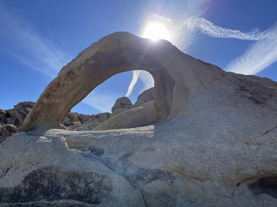
Our first arch of the day.
|
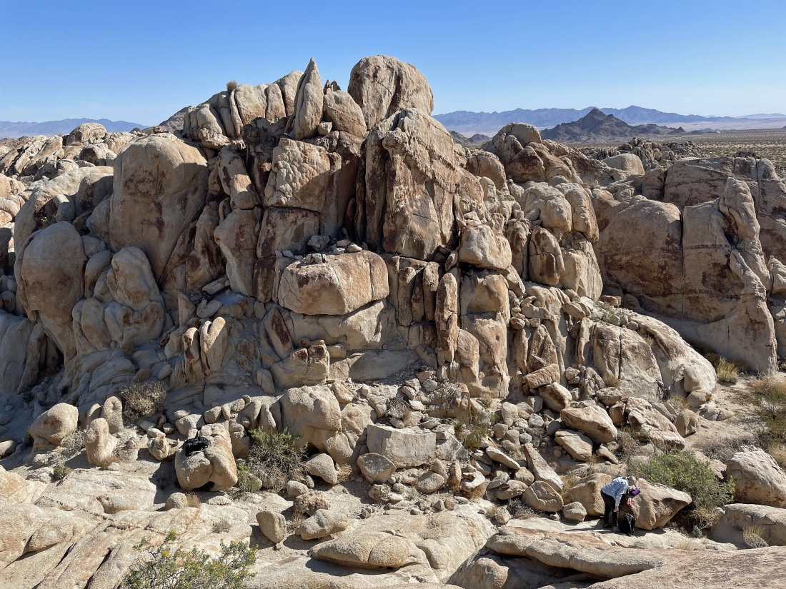
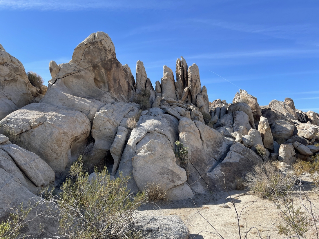
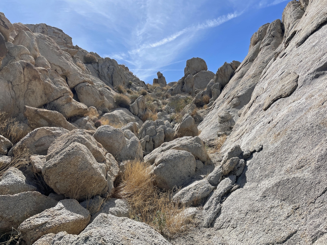
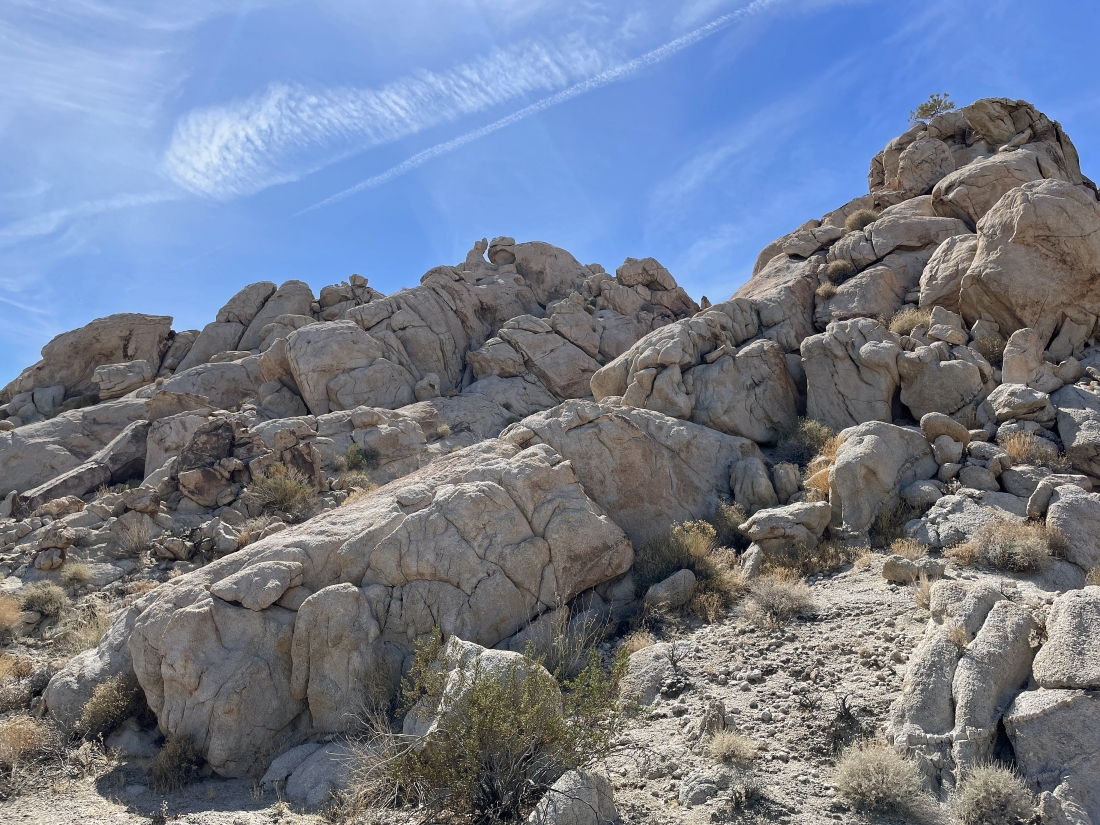
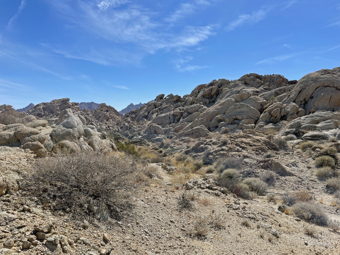
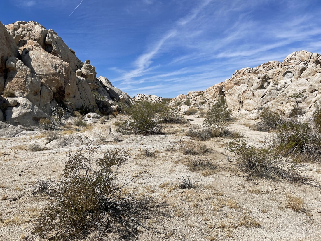
Continuing to hike south in what I call the Coxcomb Foothills... working our way through beautiful rock formations.
|
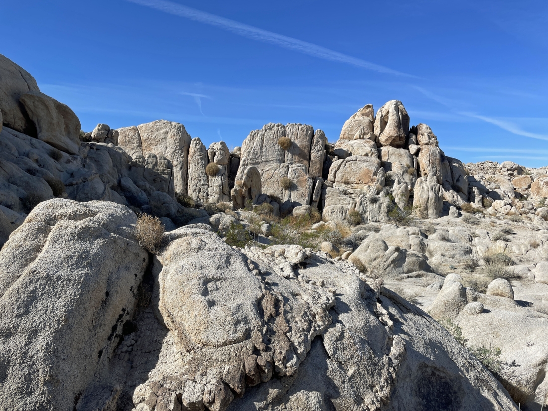
Continuing to hike south in what I call the Coxcomb Foothills... working our way through beautiful rock formations.
|
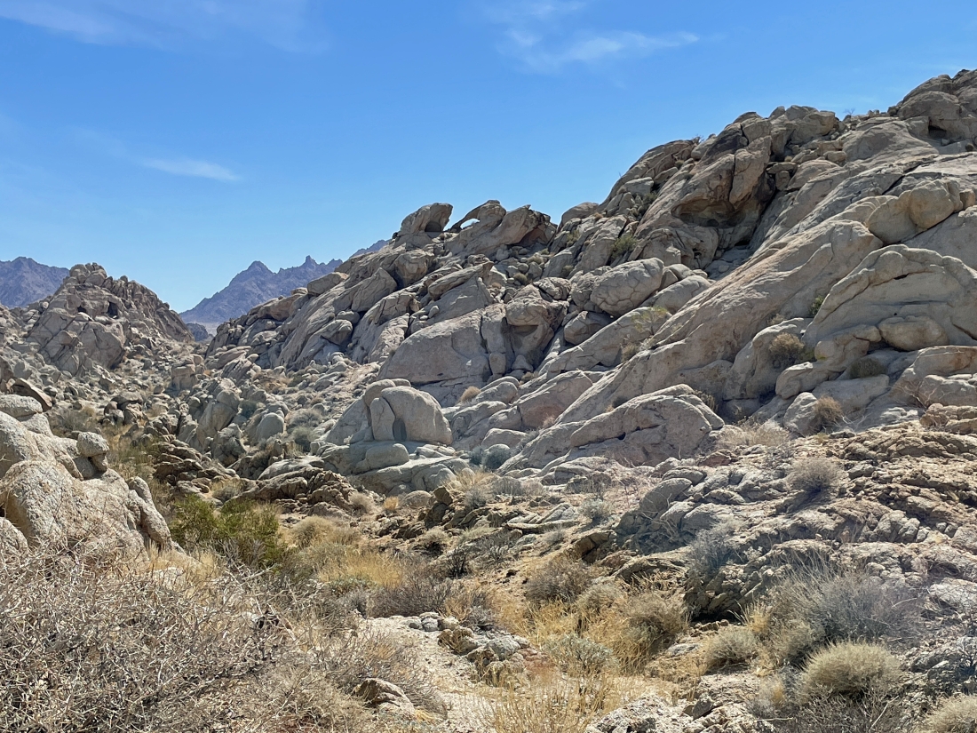
Working our way through beautiful rock formations... now hiking SE toward part of the Coxcomb Mountains on the left horizon.
|
I hiked up to a little bump... here looking down at Denali Girl... I'm looking north at the Sheephole Mountains on the horizon.
|
Still on the bump... here looking west across what I call the Coxcomb Foothills to part of the Pinto Mountains on the horizon.
|
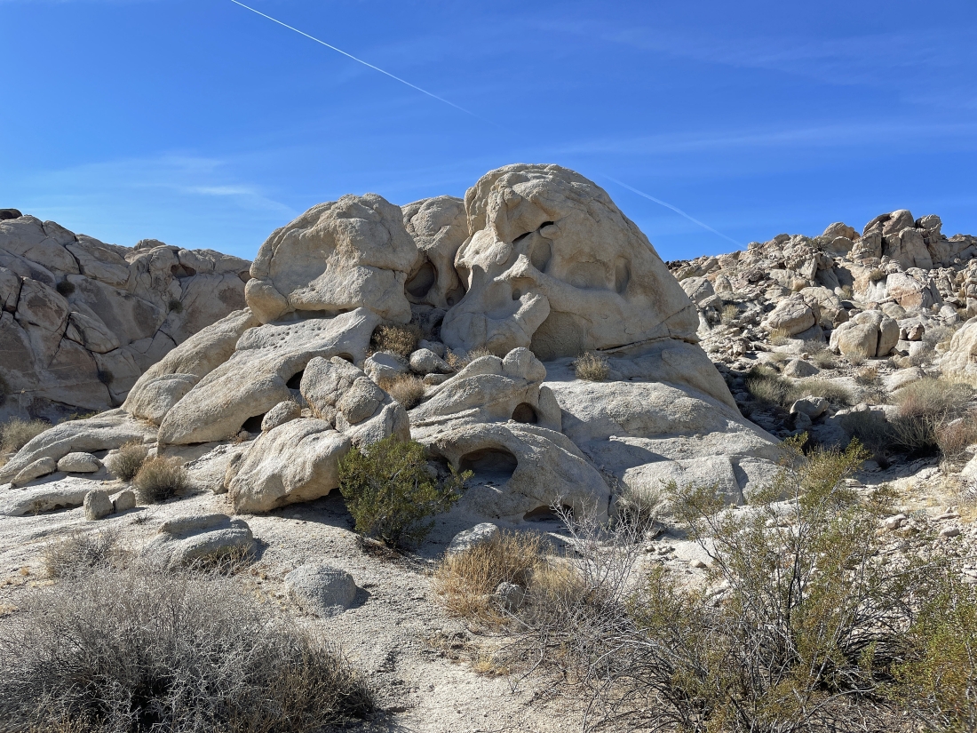
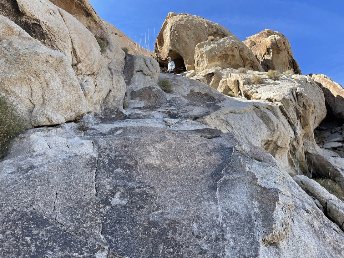
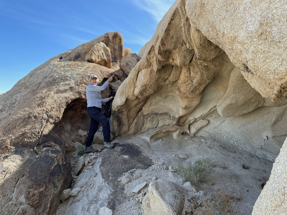
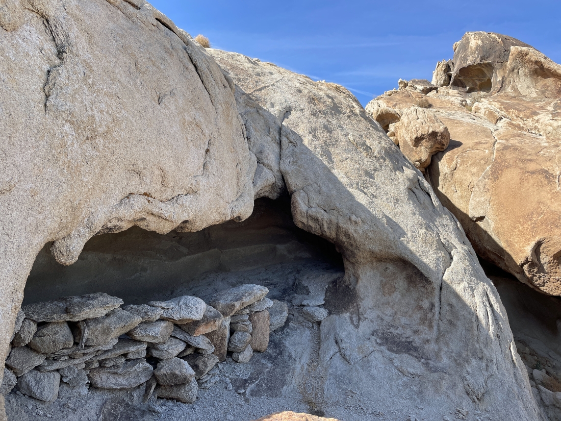
I wonder if someone used to live there.
|
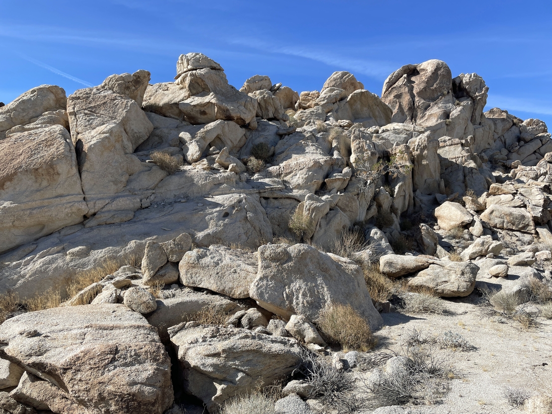
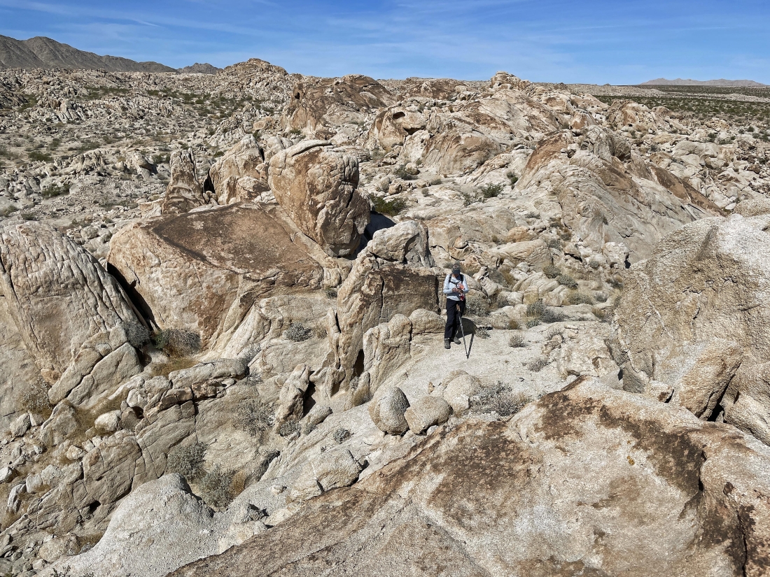
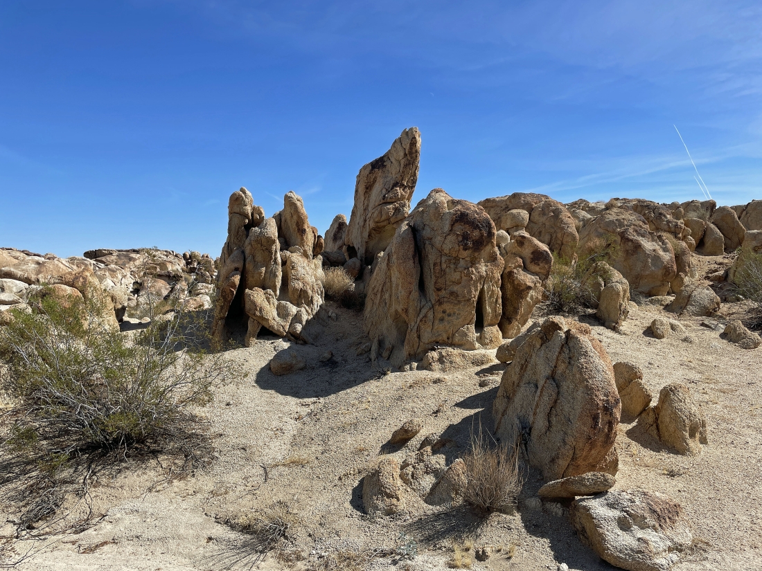
Awesome rock formations.
|
Awesome rock formations.
|
More awesome rock formations... I'm gonna have to go up there.
|
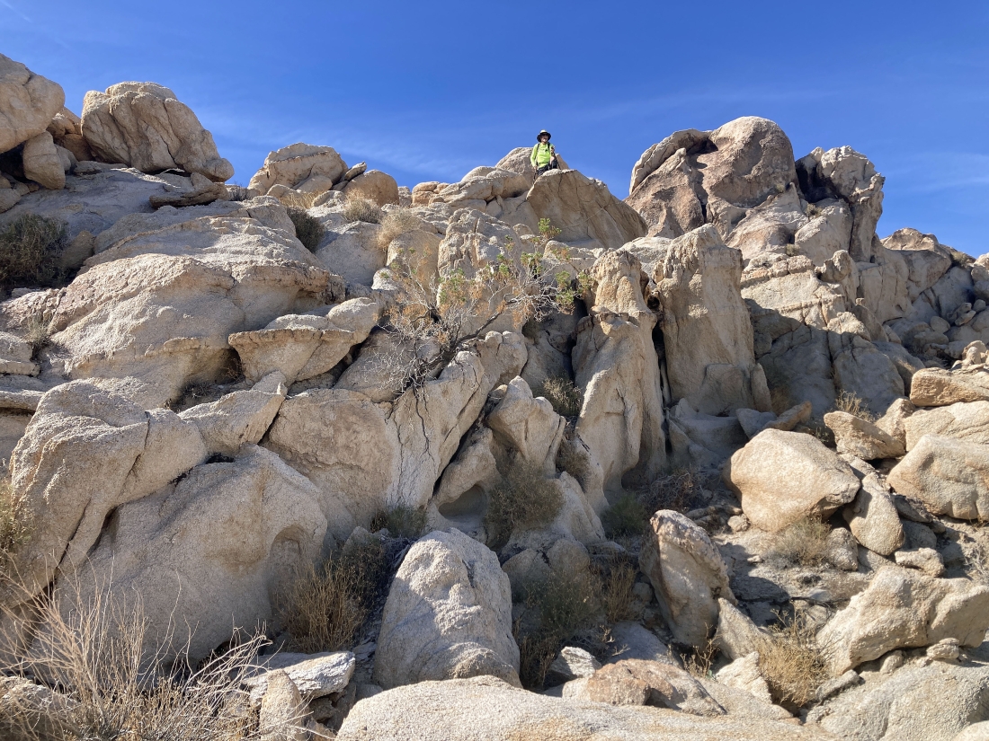
Denali Girl took this photo of me heading up the rock formations in the previous photo... and I'm gonna see if I can go down the other side.
|
Working my way through the rock formations.
|
|
Working my way through the rock formations... with the Coxcomb Mountains on the left horizon.
|
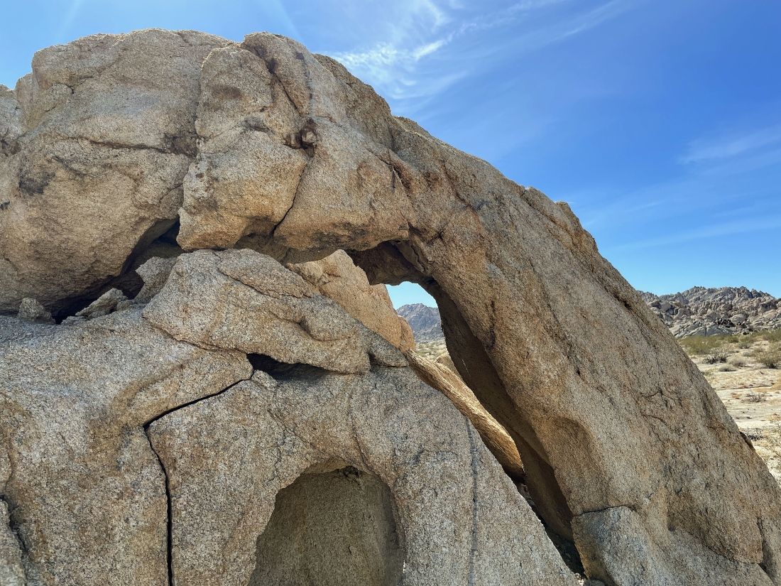
I found another arch while working my way through the rock formations.
|
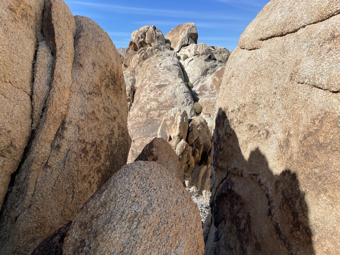
I need to get over to the gap in the middle of the photo.
|
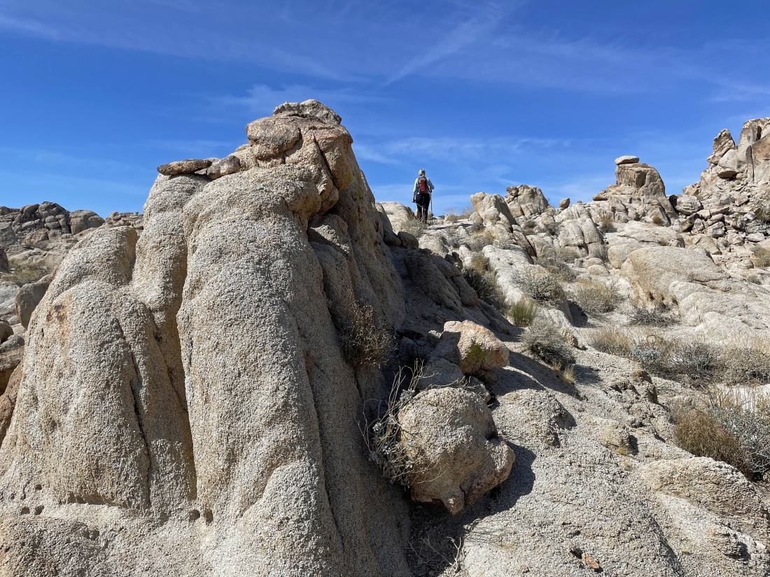
I made it up, over and down from the rock formations in the previous 4 or 5 photos... now watching Denali Girl head up the ramp in the right-center of the photo... and I think I see another arch in the left foreground.
|
Aw yes... another arch... here looking north at the Sheephole Mountains on the horizon.
|
I'm gonna go up the ramp to join Denali Girl at the top of her ramp.
|
Denali Girl says she is not going any higher... but suggests that I might want to give it a try.
|
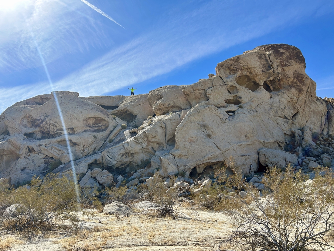
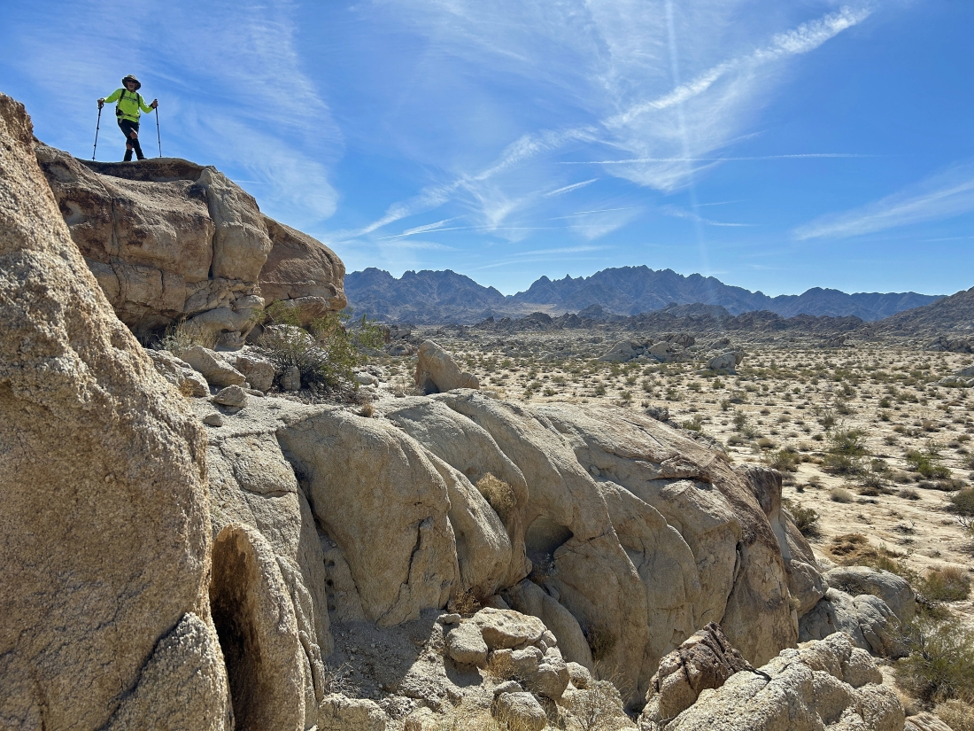
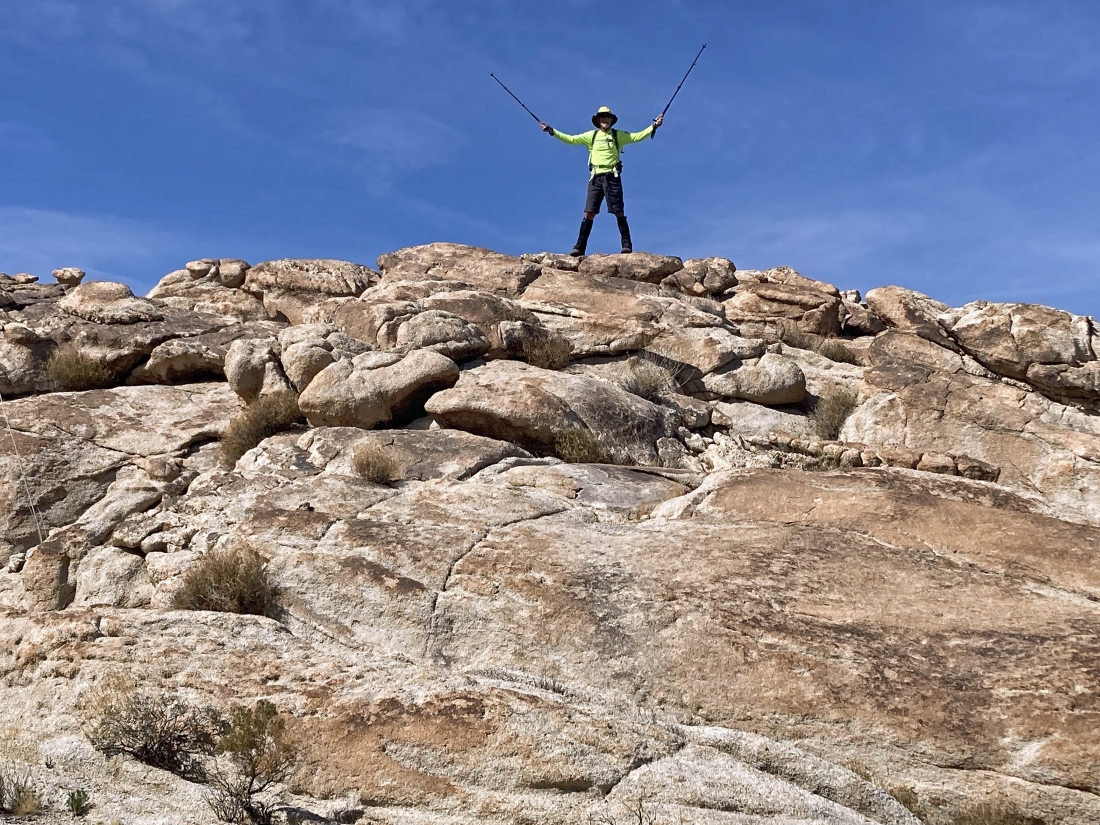
I did go higher and found a nice viewpoint... and Denali Girl is watching from below... saying that she will head back down while I enjoy the view from above.
|
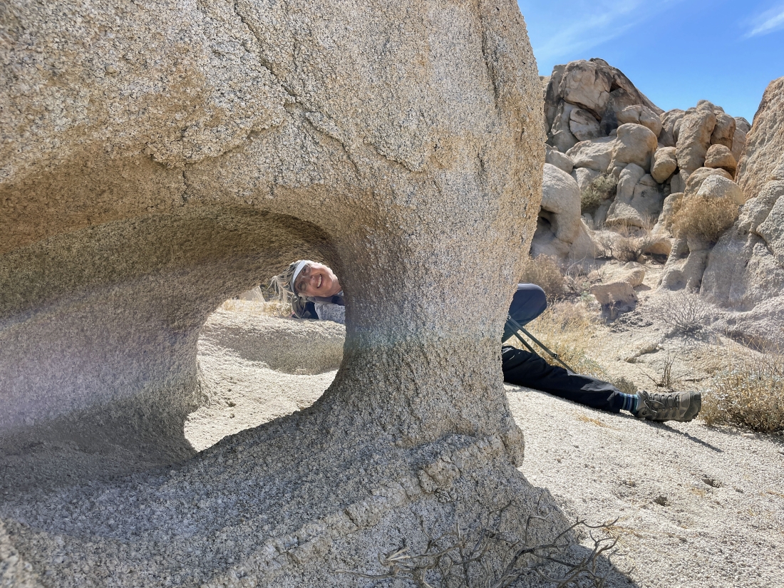
Denali Girl took this photo of me having fun.
|
I took this pano from my bump... here looking SE to the Coxcomb Mountains on the left horizon... and west to part of the Pinto Mountains on the far right horizon... with more of the Coxcomb Foothills in the middle of the photo.
|
Heading back down from my bump... and looking at another home.
|
Probably hiking SW now... and we will go right through the gap in the middle of the photo.
|
Going through that gap in the previous photo.
|
Looking back to the north as I watch Denali Girl come through the gap in the previous photo... with the Sheephole Mountains on the horizon.
|
Continuing to work our way through the Coxcomb Foothills... here looking west to part of the Pinto Mountains on the extreme far left horizon... and north to the Sheephole Mountains on the far right horizon.
|
Denali Girl caught me having fun on another bump... with the Coxcomb Mountains on the horizon.
|
Awesome rock formations... but I'm gonna take a closer look because there might be an arch over there.
|
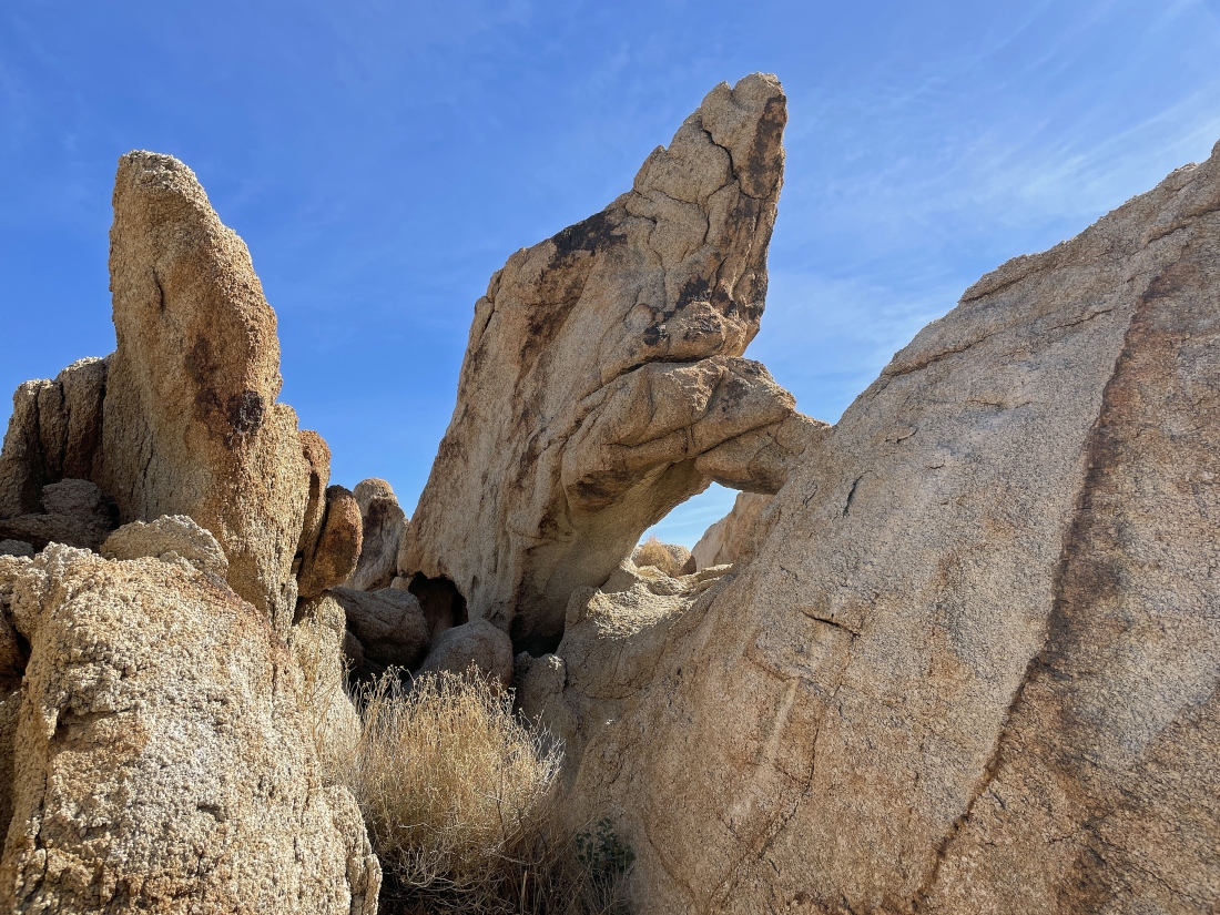
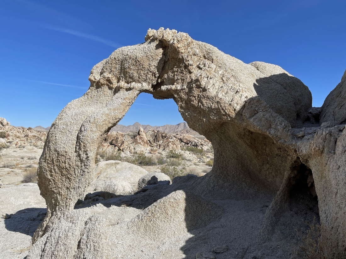
Yes, there was another arch.
|
And another arch.
|

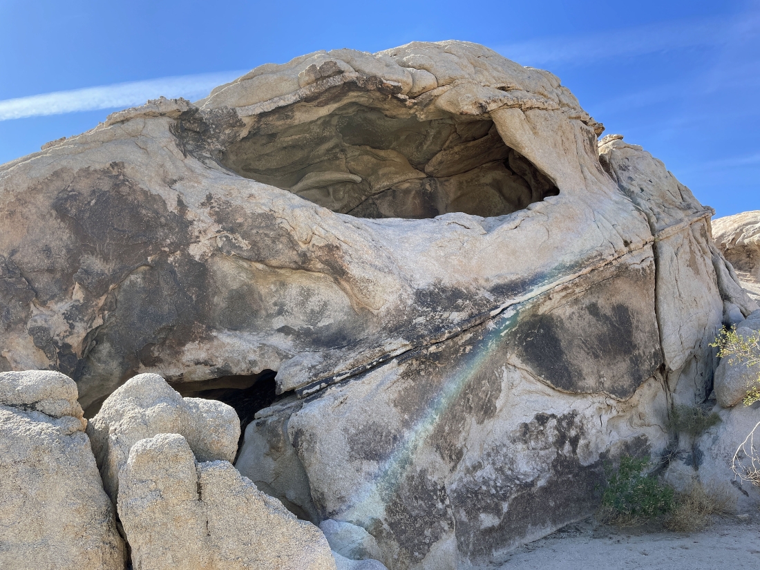
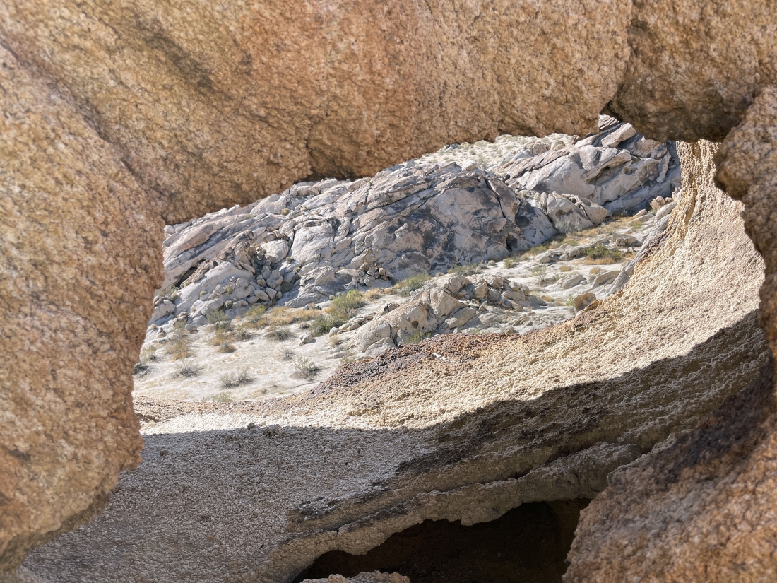
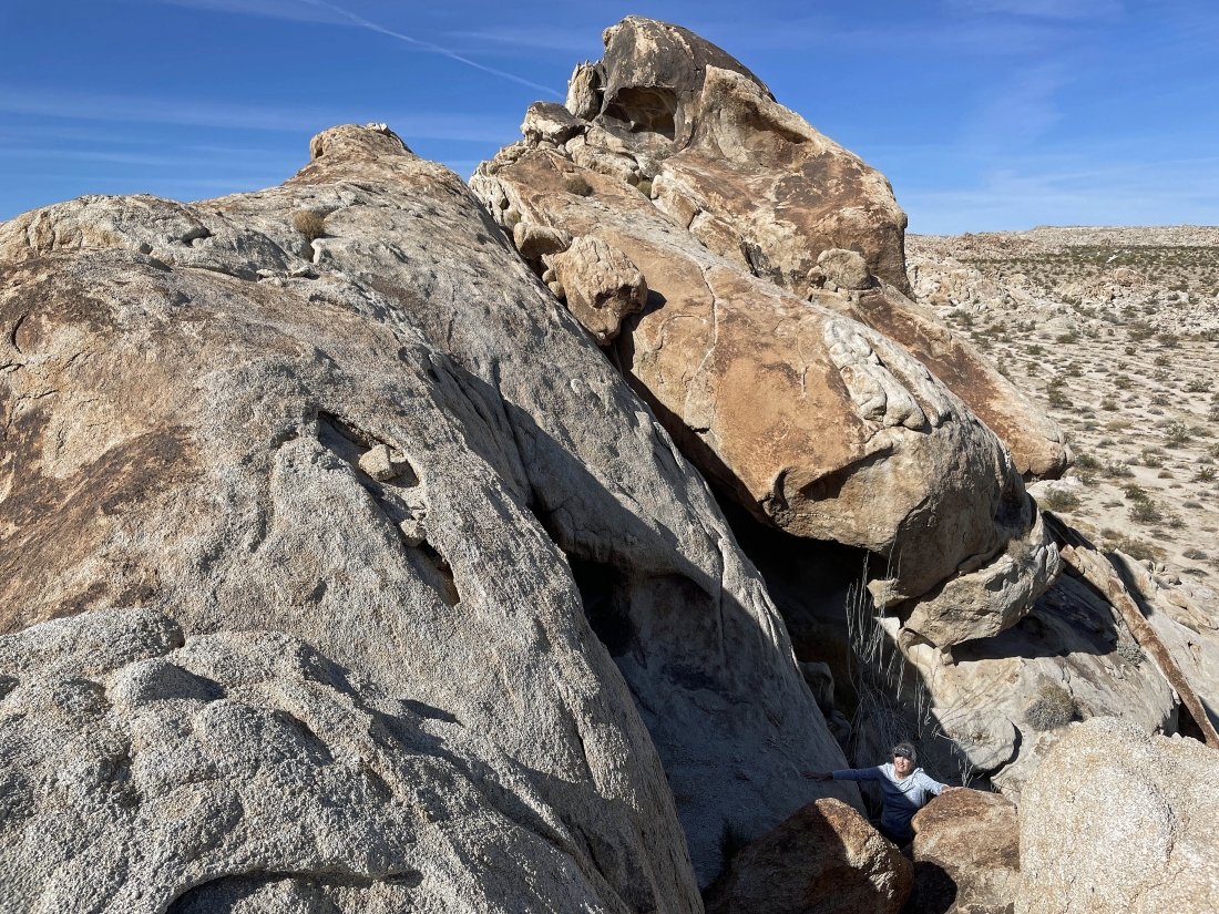
Denali Girl found what felt like a cave.
|
|
We finished making our way through another rock formation... now heading over to see if we can get through the gap in the left-center of the photo.
|
Working our way through the gap from the previous photo.
|
Still working our way through the gap in the previous two photos.
|
I found another nice view spot.
|
Looking north from the bump I was on in the previous photo... with the Sheephole Mountains on the horizon in the middle of the photo.
|
Continuing to work our way through the Coxcomb Foothills.
|
Let's keep working our way through the rock formations.
|
And we found another arch.
|
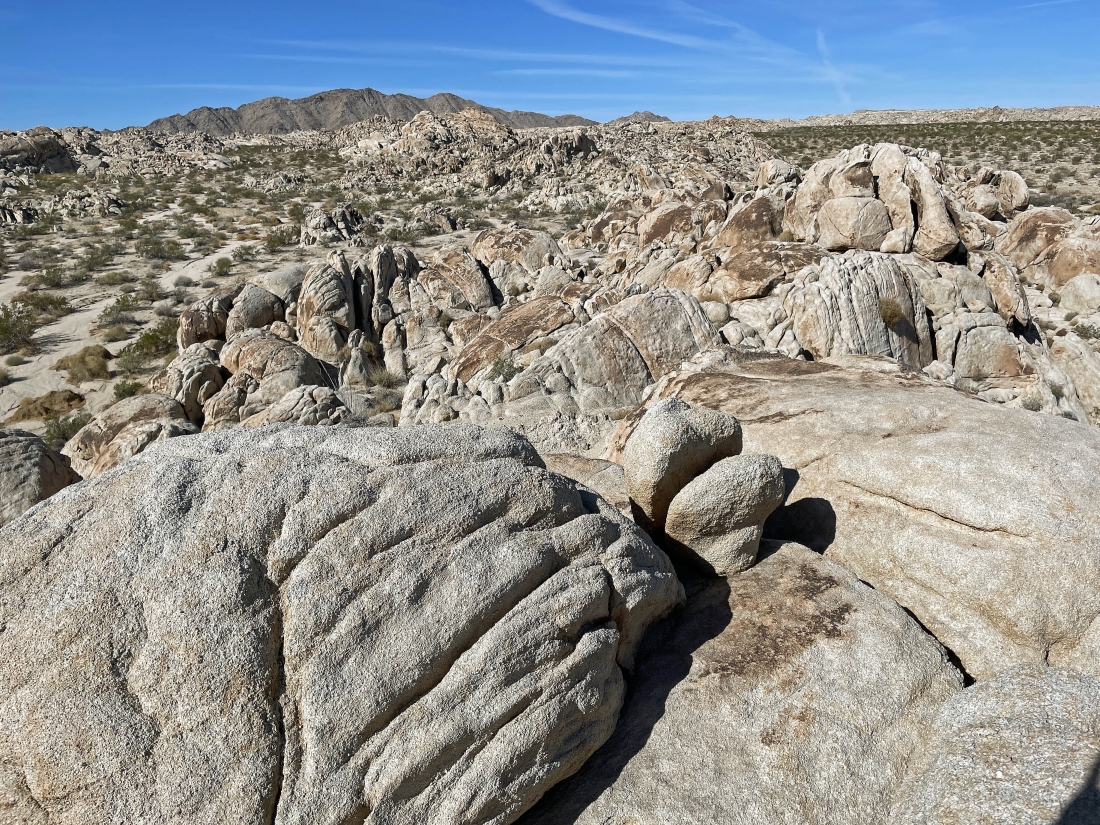
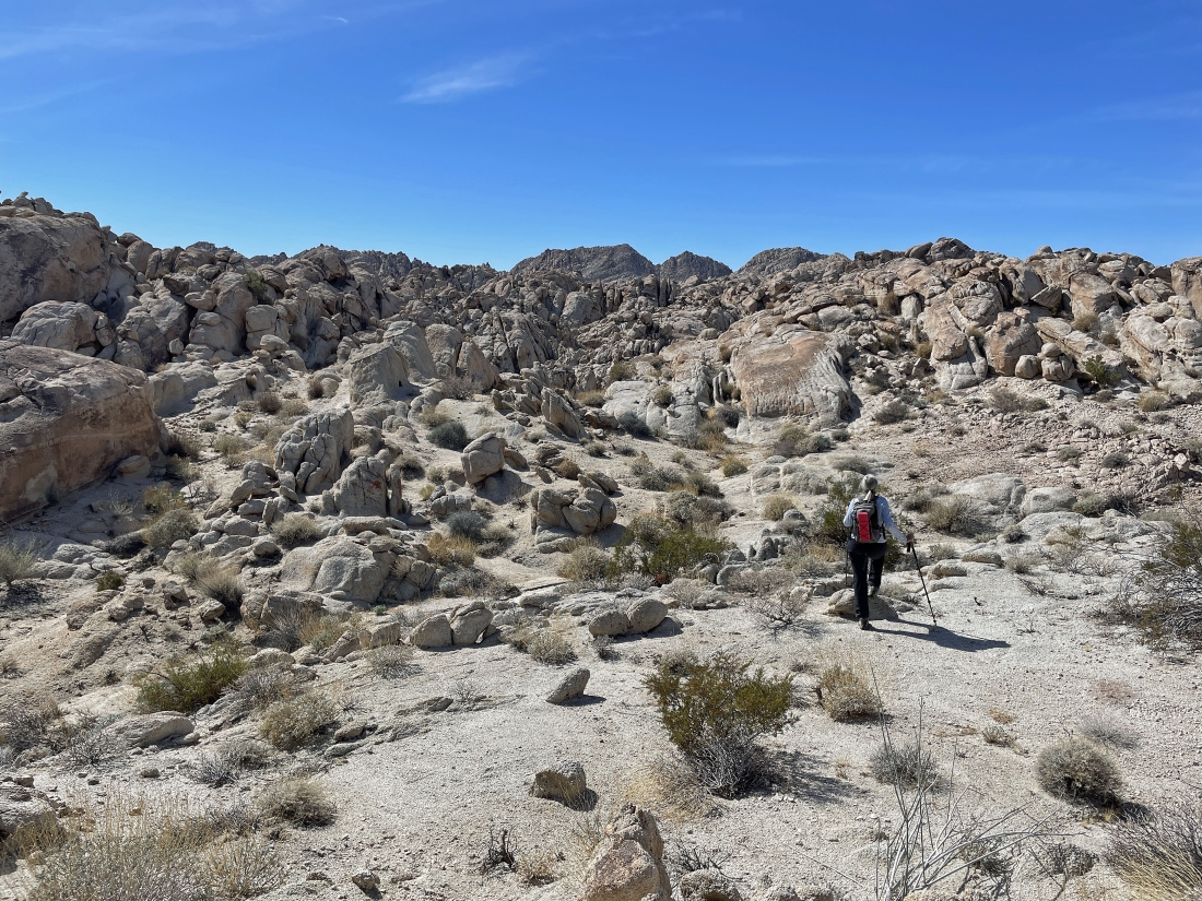
So many rock formations in the Coxcomb Foothills... looking SE to part of the Coxcomb Mountains on the left horizon... and looking west to part of the Pinto Mountains on the far right... but we are going to give up a little elevation and head over to that big wash on the right.
|
Looking north from where I took the previous photo... with the Sheephole Mountains on the horizon in the middle of the photo.
|
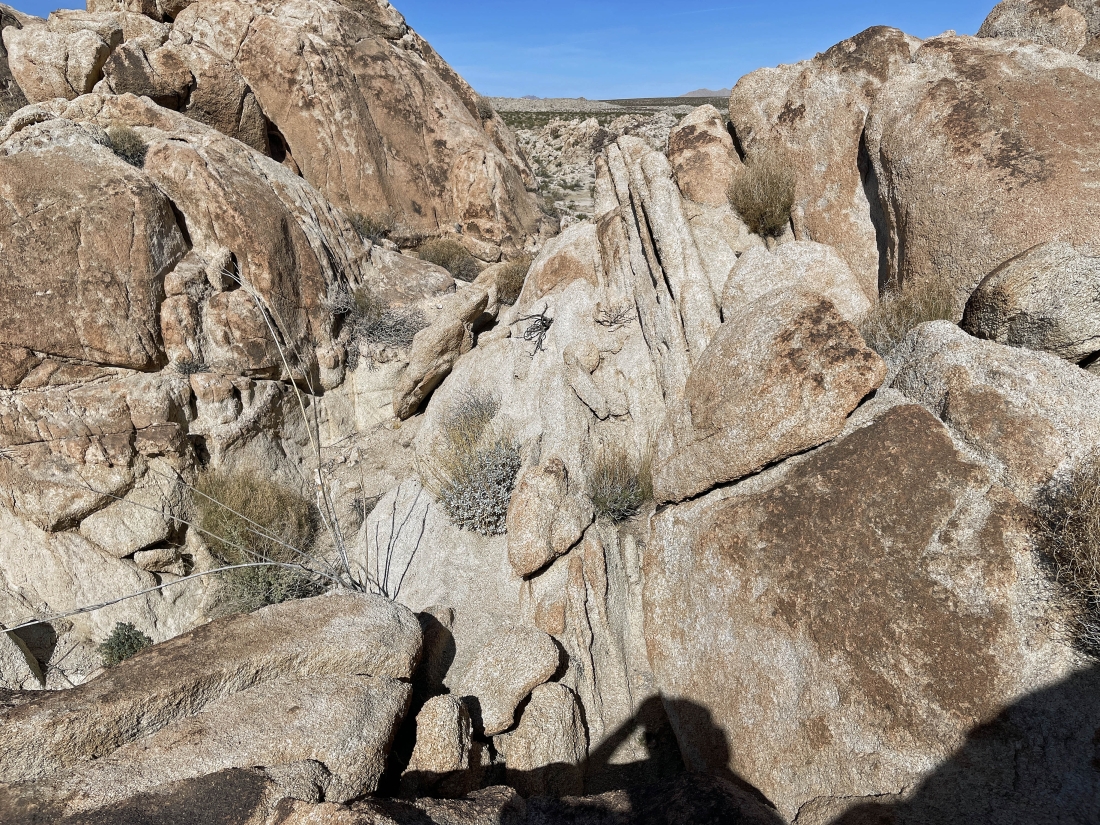
The wash has narrowed down a bit... and I think we can see another arch up on top of the rocks in the middle of the photo.
|
Yes... another arch up top.
|
Still in the wash hiking south... but the wash divides here... and we will turn to the left and start hiking SE... searching for a path that will help us close the loop portion of the hike.
|
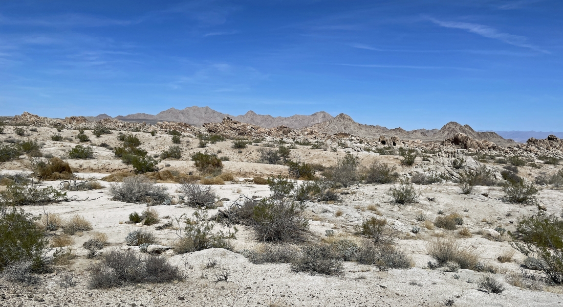
Hiking SE on fairly open desert... with the Coxcomb Mountains on the horizon.
|
Still hiking SE... with the Coxcomb Mountains on the horizon.
|
|
Still hiking SE in the open desert... with the Coxcomb Mountains on the far right.
|
Time to start hiking north across the open desert toward the Sheephole Mountains on the horizon... but we will still need to find a way through the rock formations in the foreground.
|
Looks like a reasonable route through the rocks out there in the middle of the photo.
|
Getting close to closing the 2.2 mile loop portion of our hike... leaving three quarters of a mile to get back to the car.
|
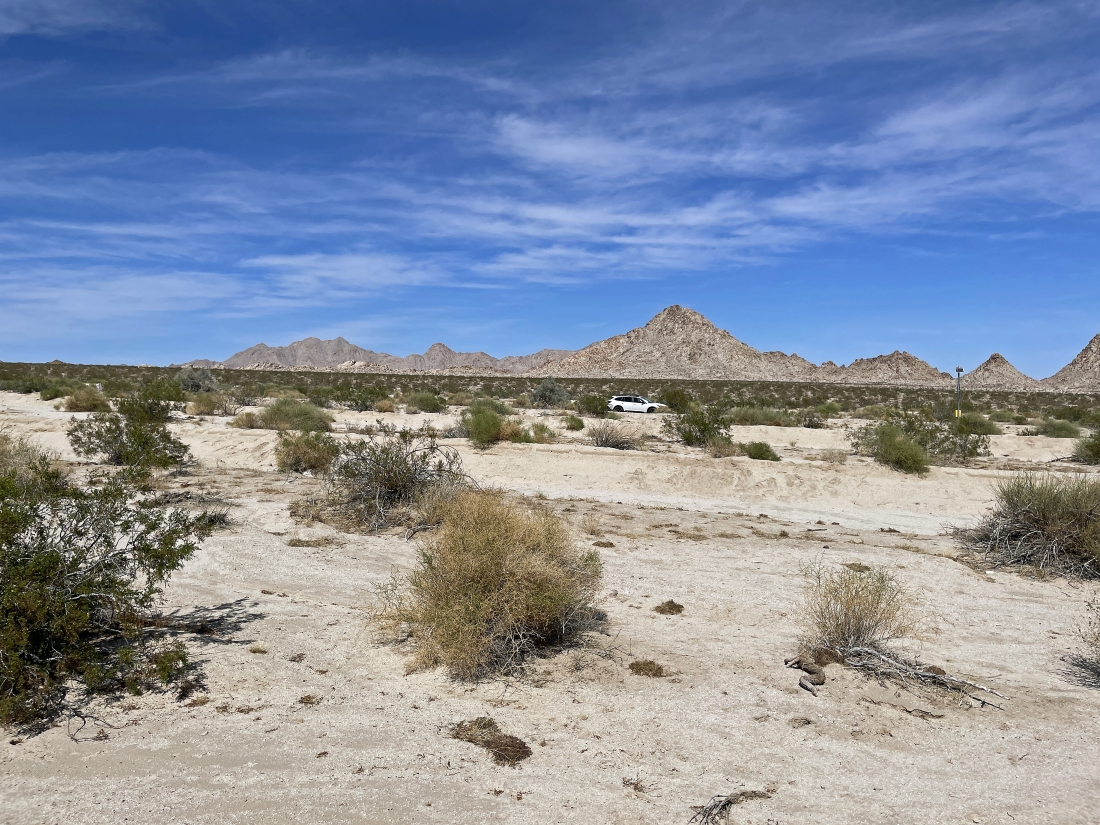
A stone's throw from the car with the Sheephole Mountains on the horizon... the total hike was 3.6 miles, gaining 233 feet of elevation.
|
