Coxcomb Foothills - 3.21.2025
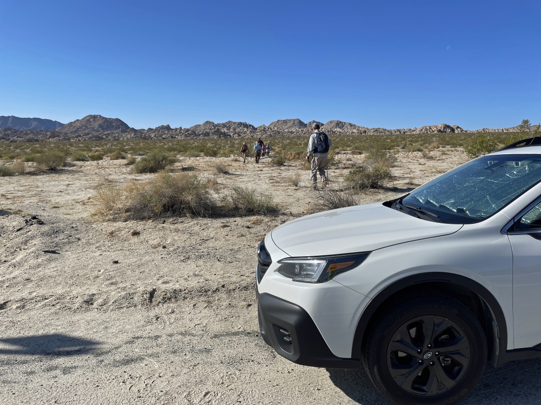
There is no trailhead... we parked at a 'Call Box' pullout on California's CA 62 Hwy (aka Twentynine Palms Hwy)... across the highway from the Sheephole Valley Wilderness... and this hike is in an unadvertised section of Joshua Tree National Park.
|
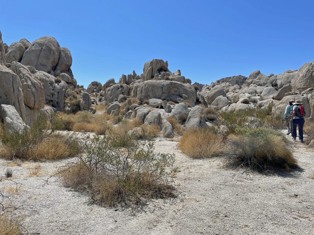
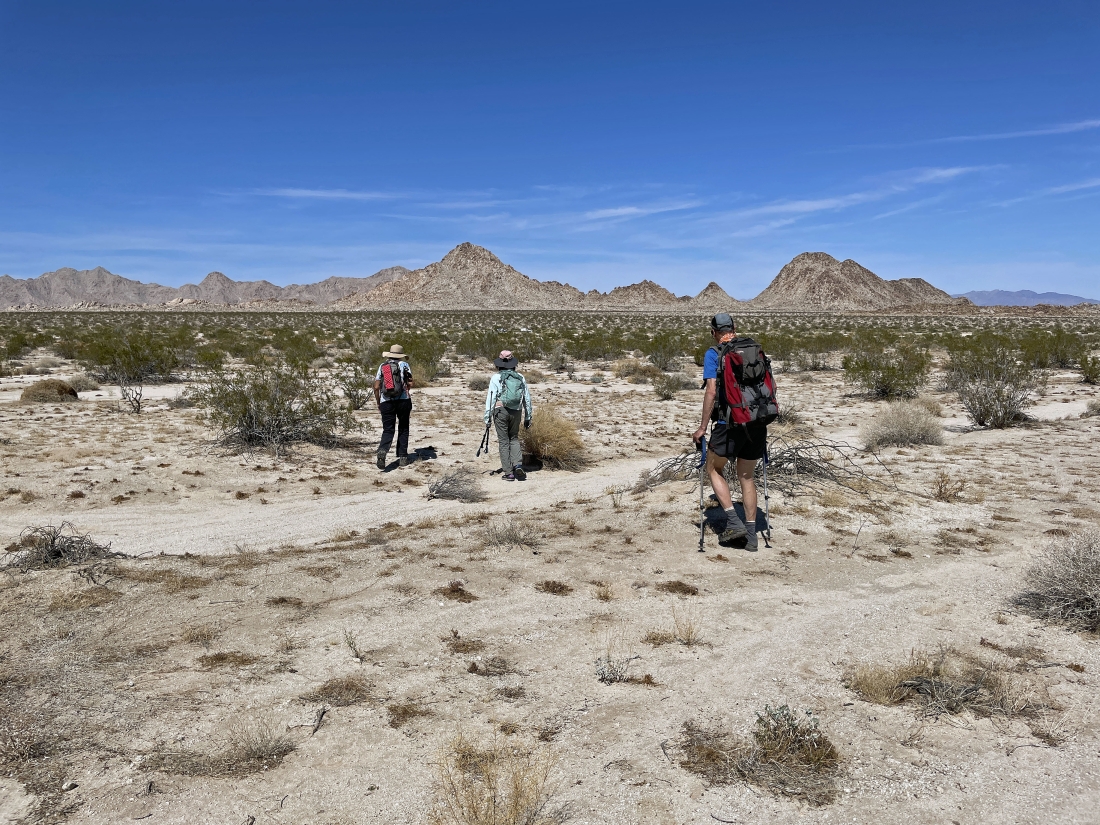
Hiking south from where we parked... heading for what looks like some very interesting rock formations... the Coxcomb Mountains are on the left horizon... and part of the Pinto Mountains are on the far right horizon.
|
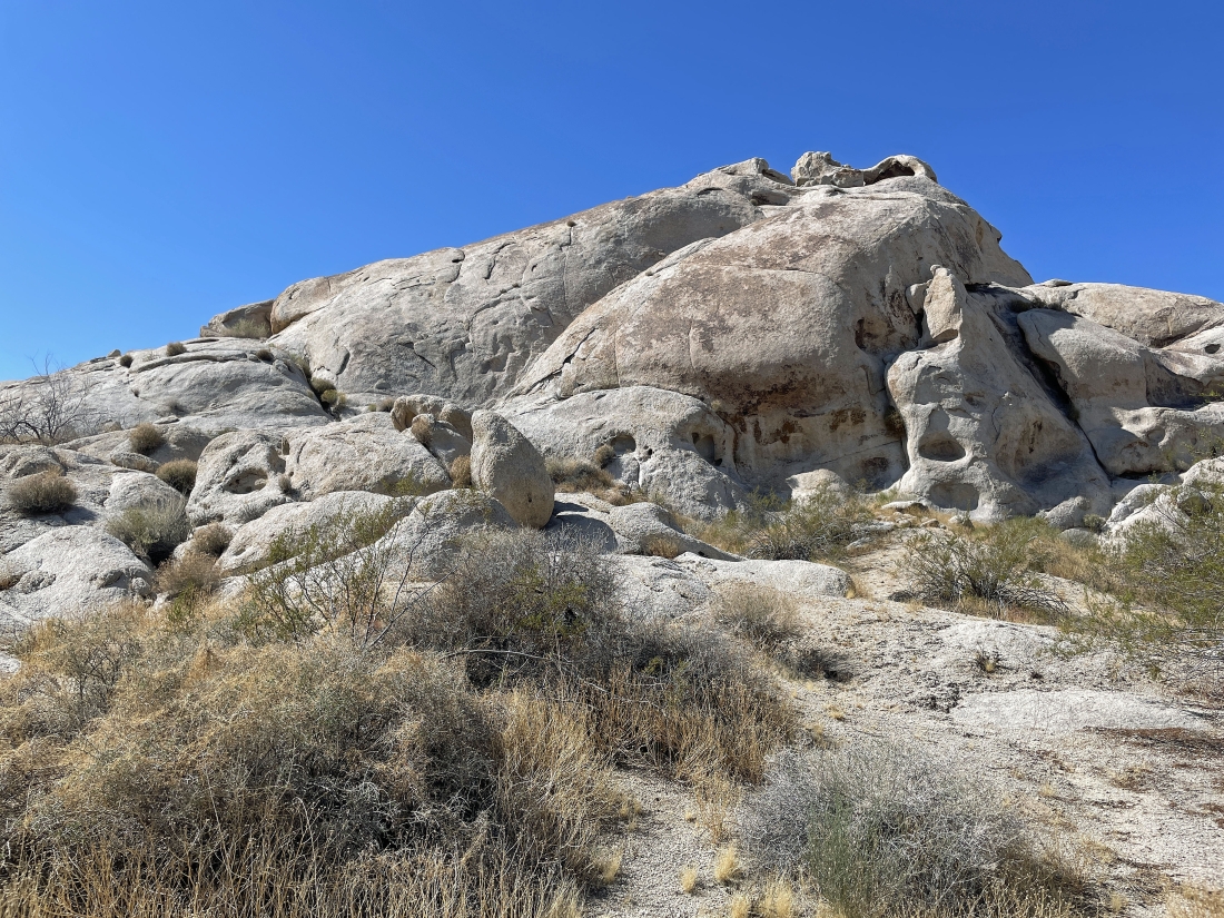
After hiking .6 miles from our car we have reached the rock formations.
|
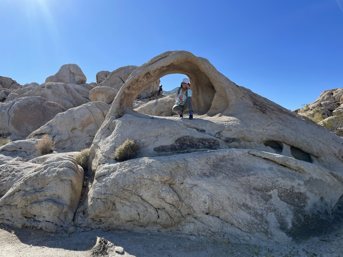
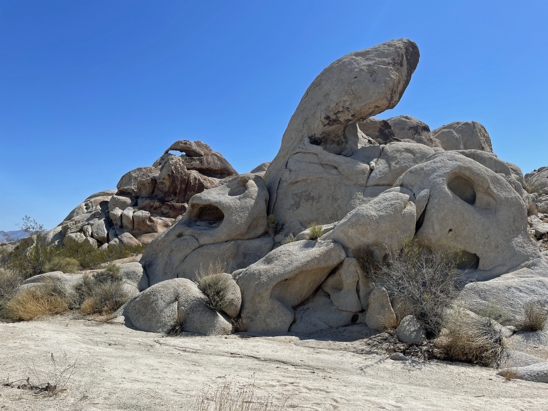
BarbE found a nice arch.
|
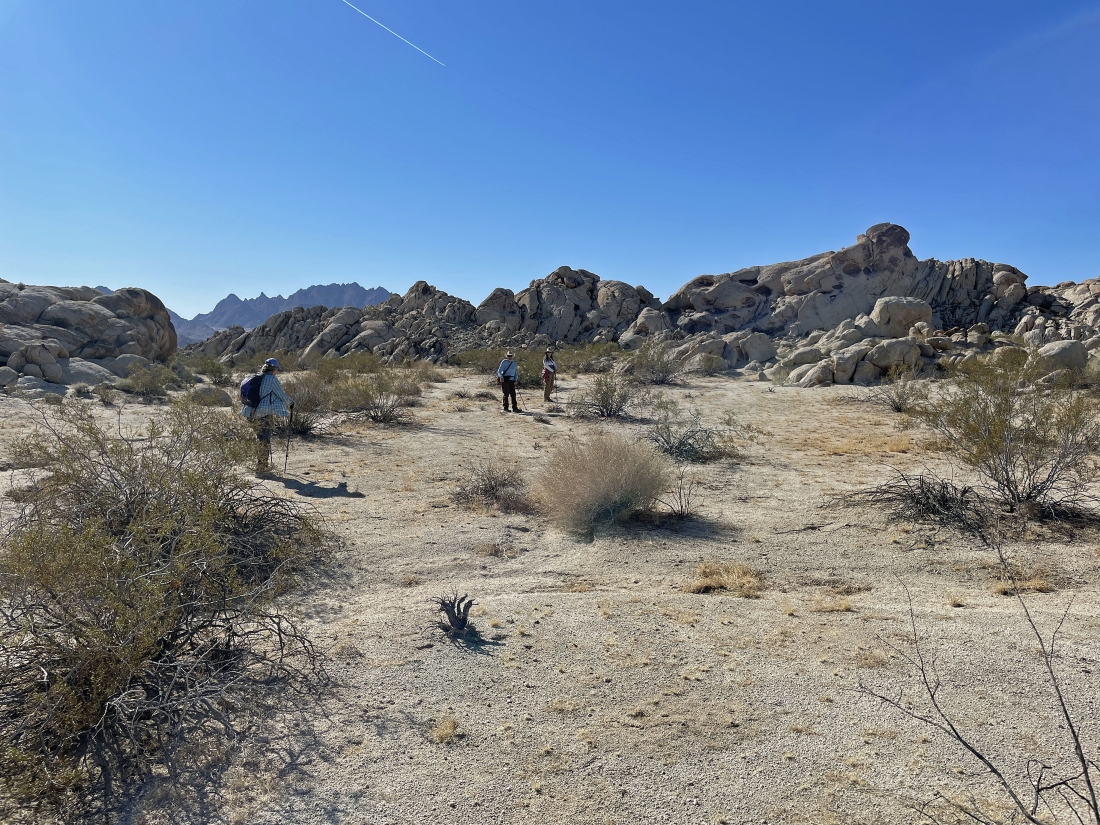
Leaving the arch in the previous photo we are heading over to that rock formation on the far right.
|
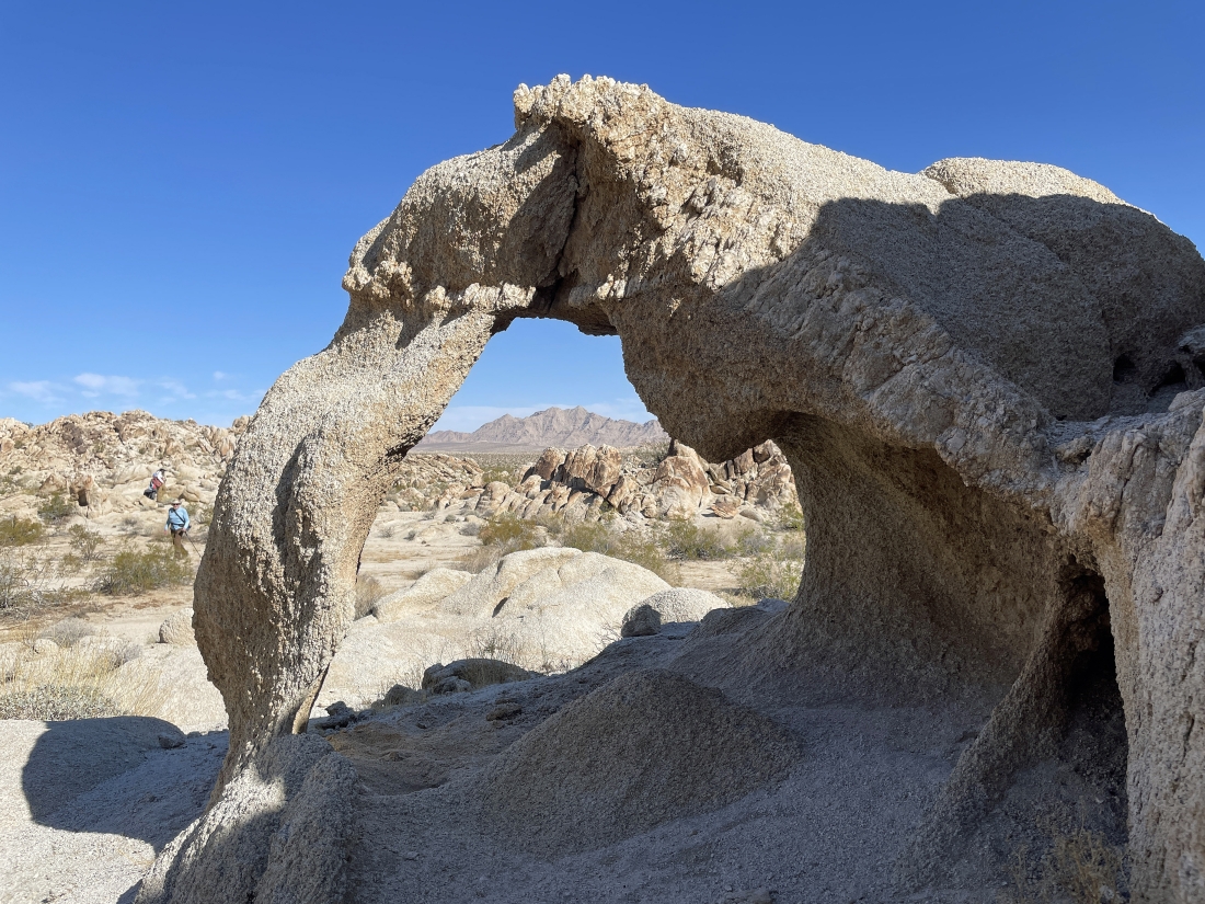
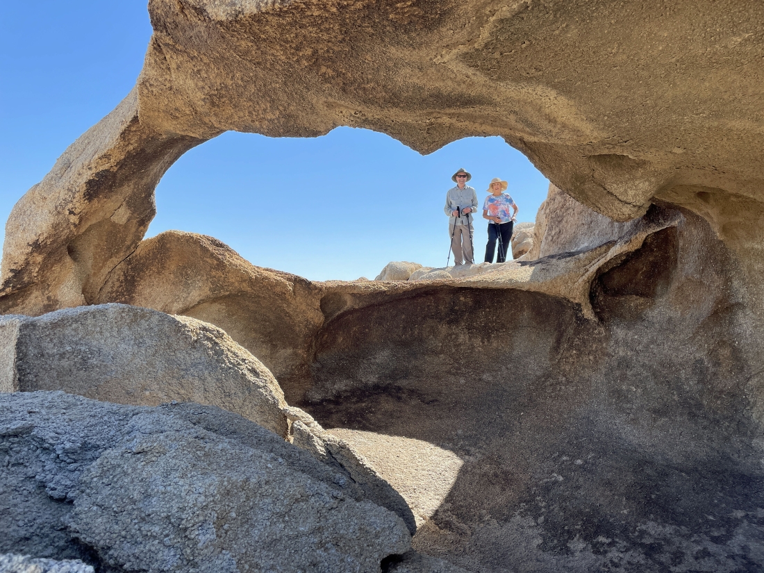
Another interesting arch... looking through it to the Sheephole Mountains on the horizon.
|
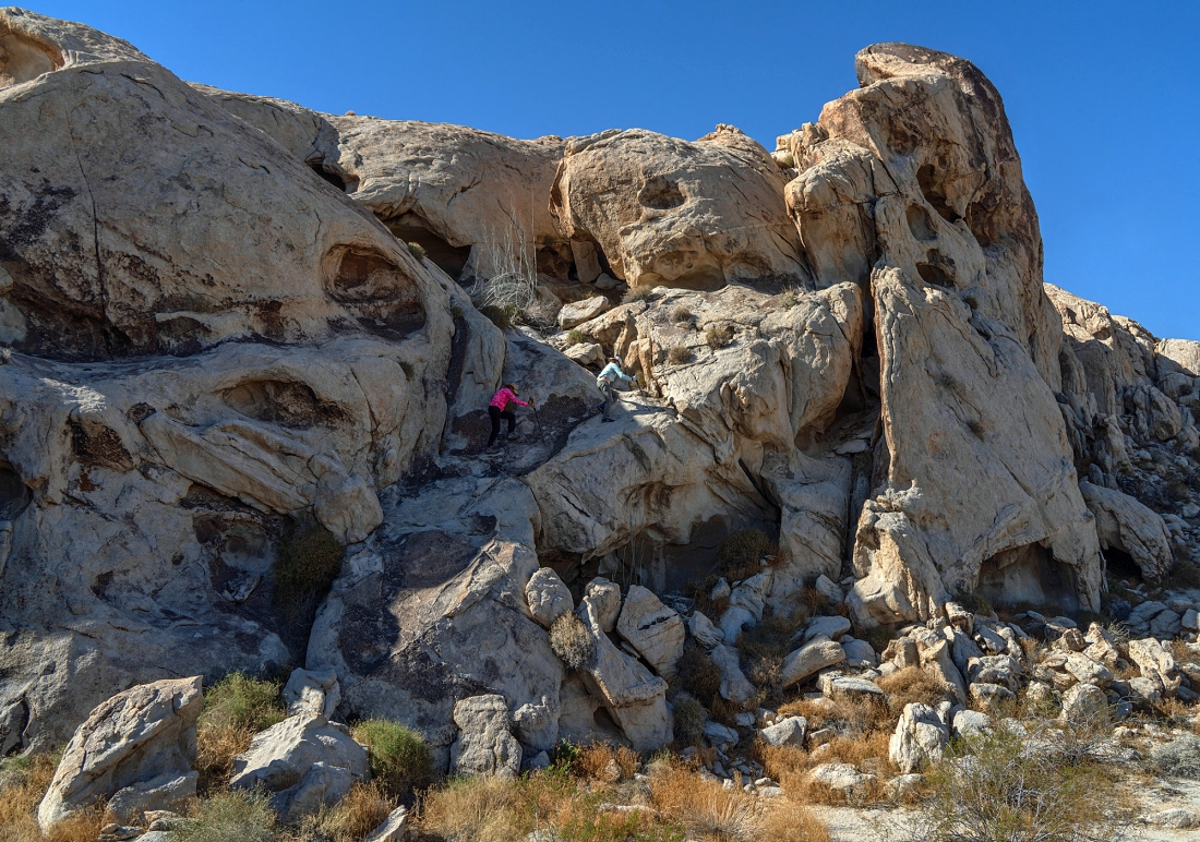
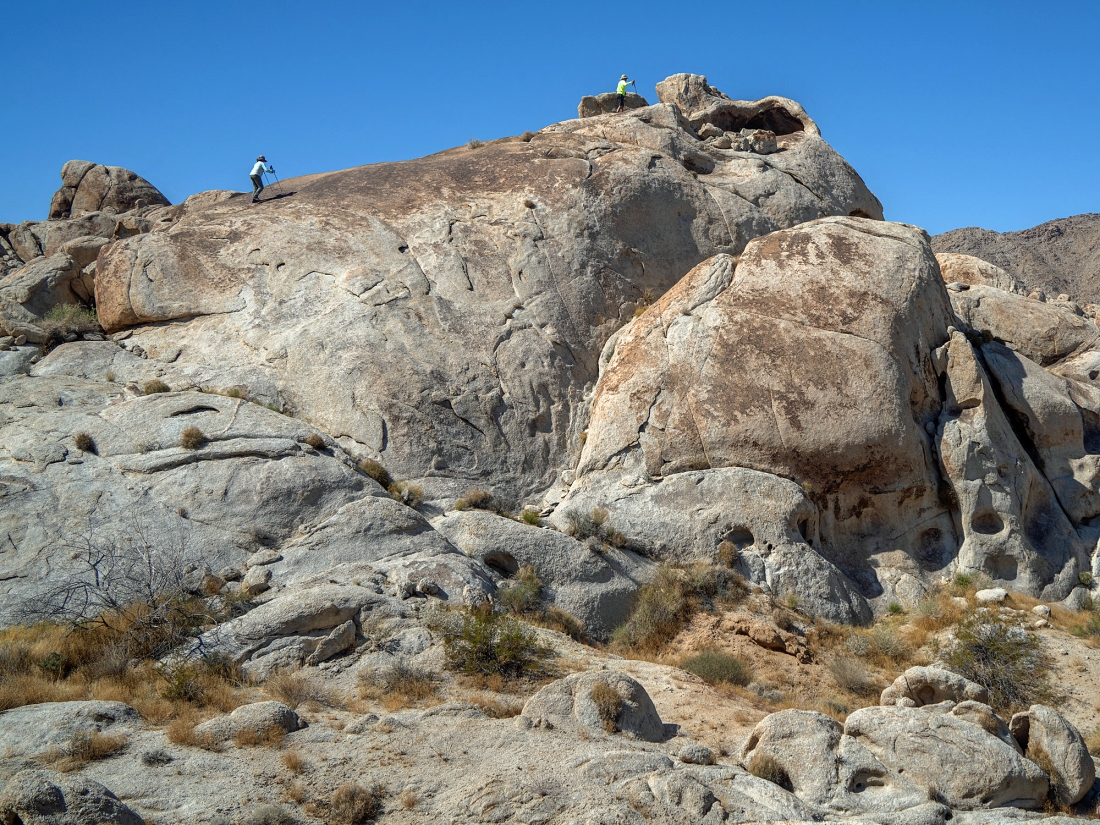
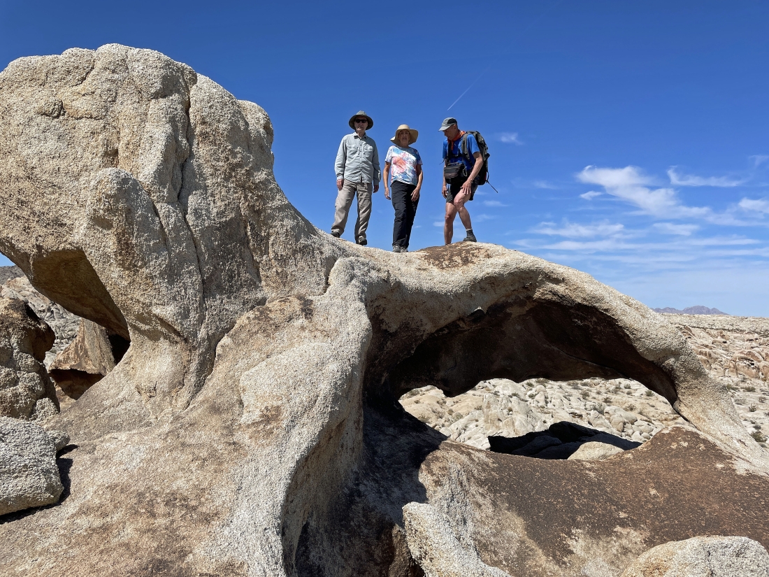
Prosit took this photo of Denali Girl and BarbE heading up to the top of the rock formation that we saw two photos ago.
|
Denali Girl and BarbE near the top of the rock formation in the previous photo.
|
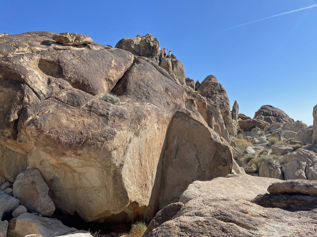
I'm looking back at the rock formation in the foreground that Denali Girl and BarbE were on in the previous photo... with the Sheephole Mountains on the far left horizon... and the Coxcomb Mountains on the right-center horizon... with tons of interesting rock formations on the far right.
|
A closeup of Prosit on the rock formation that he shared with Denali Girl and BarbE.
|
Continuing to hike south... deeper into the Coxcomb Foothills... looking for a high cave that Star Dancer and Denali Girl saw two weeks earlier.
|
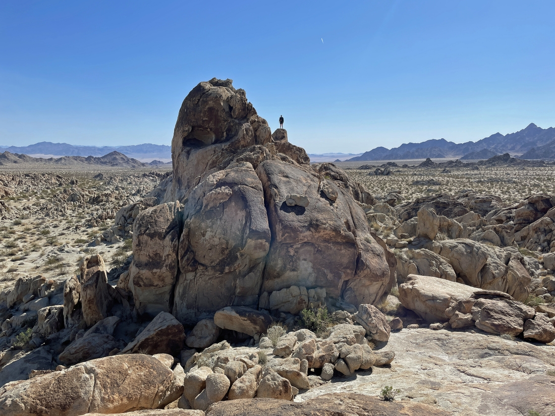
After hiking a total of 1.8 miles we have found the rock formation that has what looks like a huge cave on top.
|
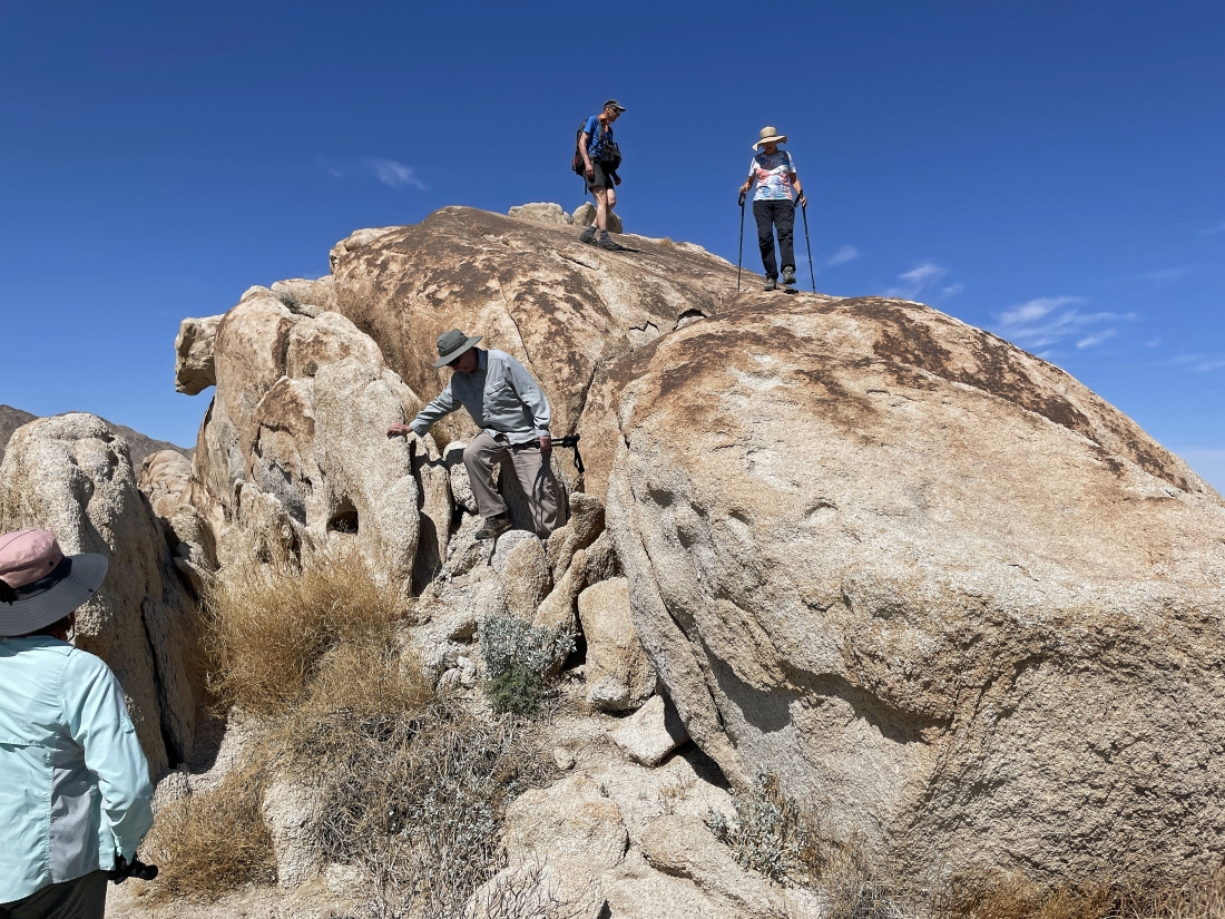
Prosit took this photo of BarbE and me working our way up to the huge cave that we saw in the previous photo.
|
I'm sitting inside the cave and took this photo of BarbE as she arrives... with Star Dancer barely visible down on the desert floor in the lower left corner of the photo... with the Sheephole Mountains on the horizon.
|
tomman and Denali Girl have arrived at the huge cave.
|
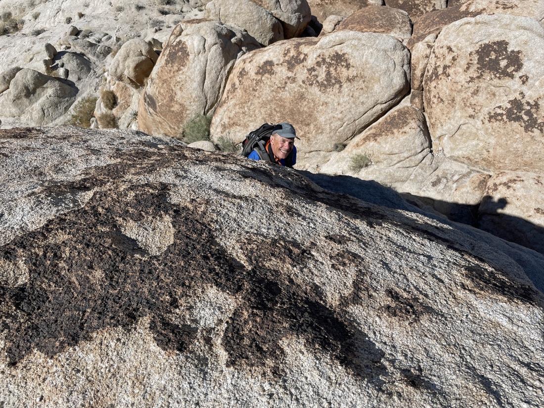
I went outside of the cave and went up onto the roof of the cave... and took this photo of Prosit who has just arrived at the cave.
|
tomman, Denali Girl and Prosit standing on top of the huge cave.
|
Coming back down from the huge cave.
|
Continuing to hike south... here looking back on the left at the huge cave we just came from.
|
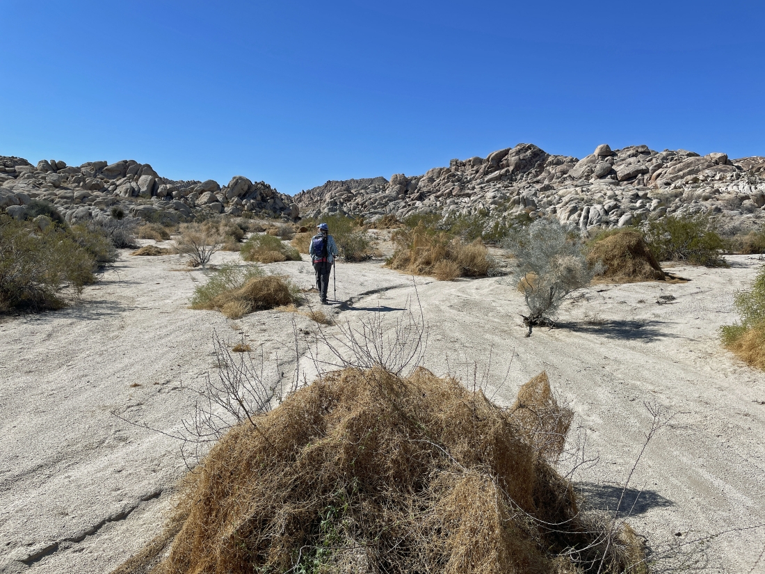
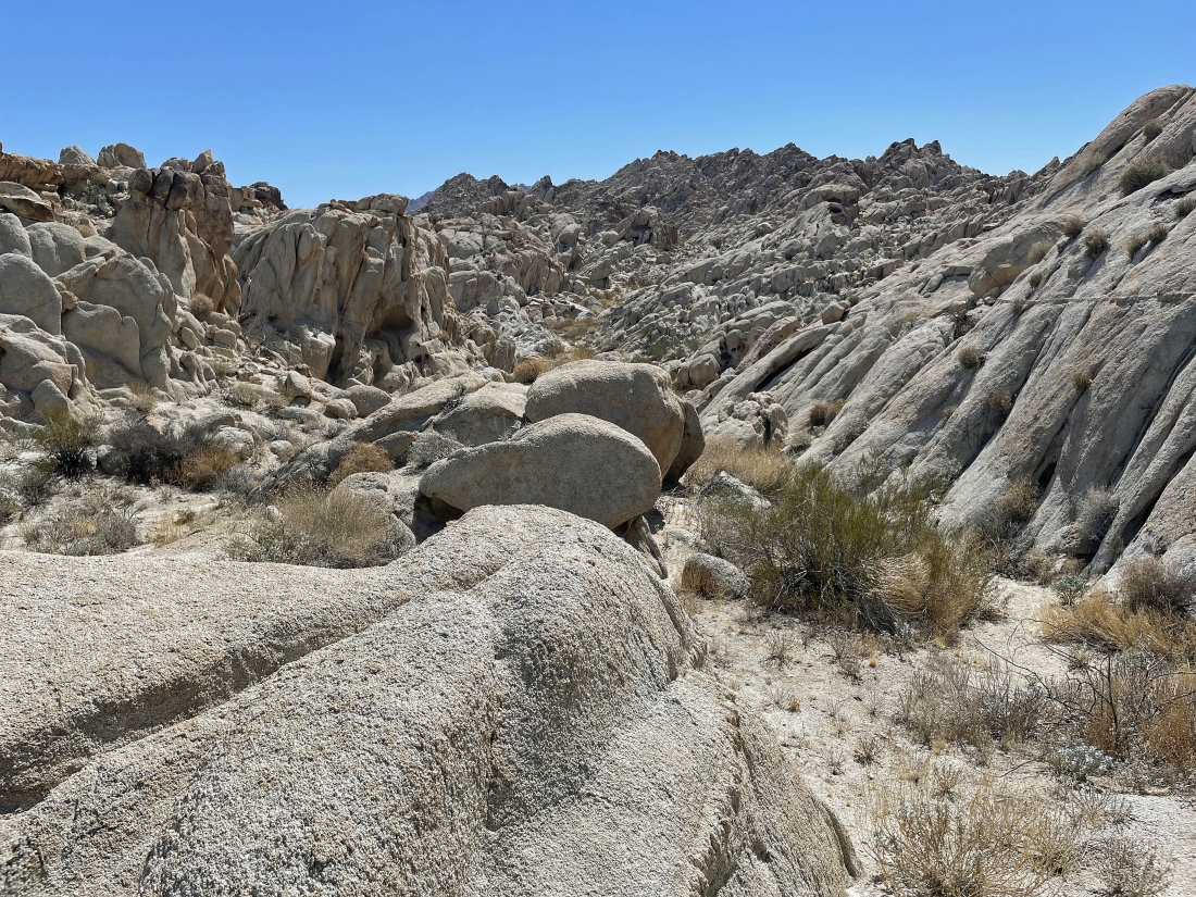
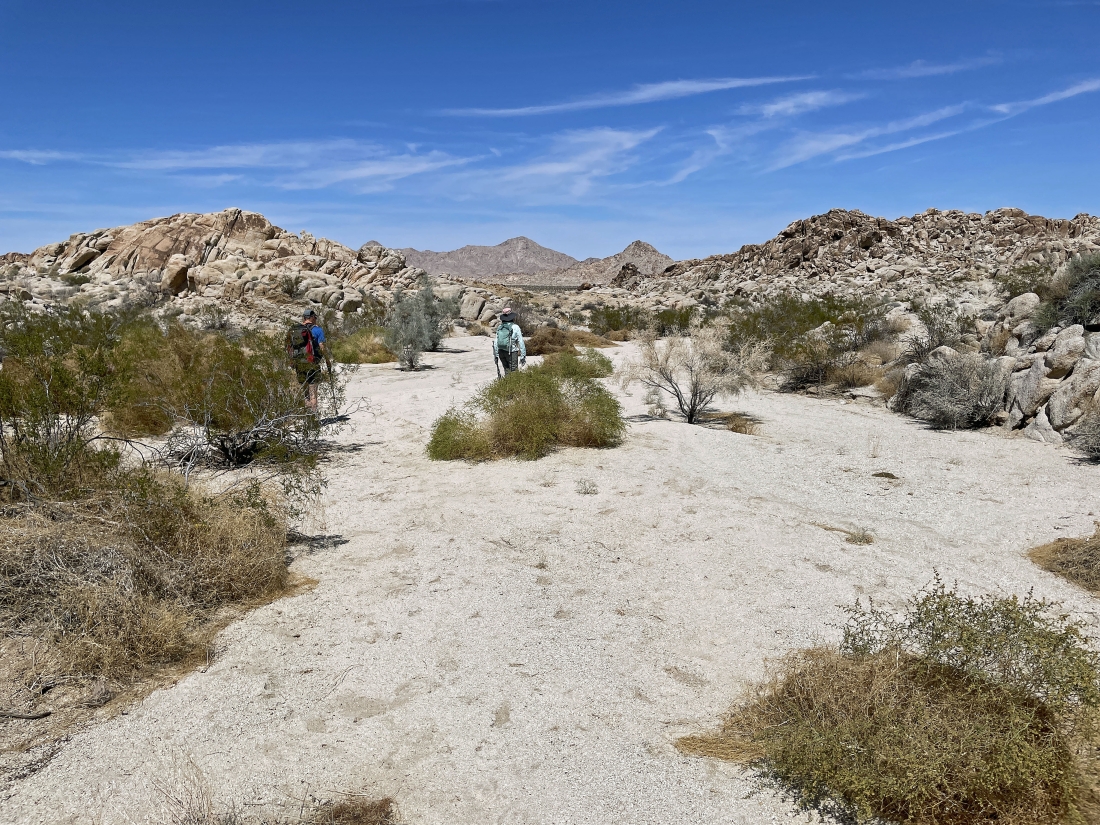
Continuing to hike south in a big wash.
|
|
Continuing to hike south in a big wash.
|
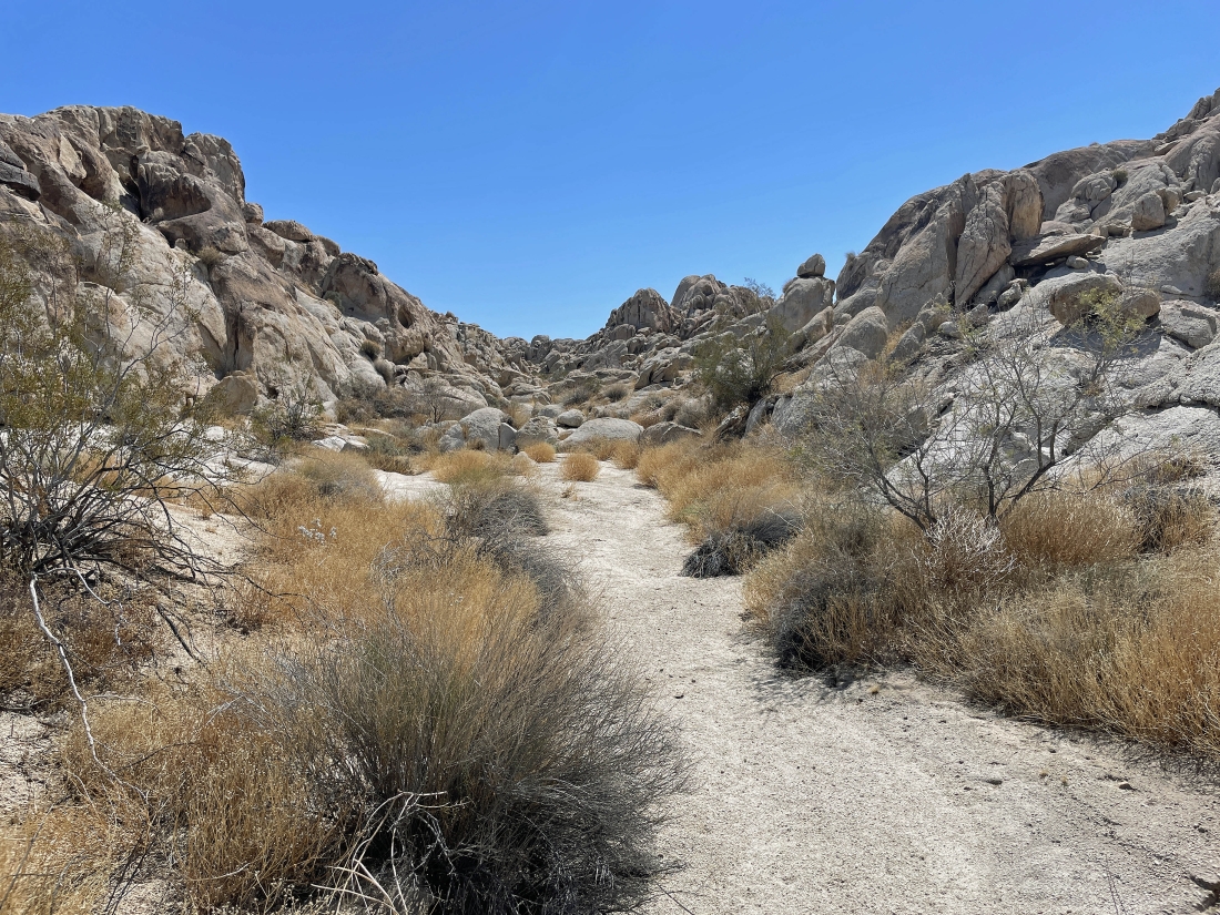
Continuing to hike south in a big wash.
|
Continuing to hike south in a big wash.
|
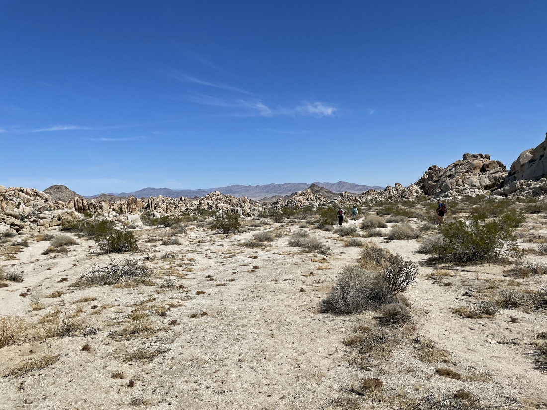
Starting to hike east... kind of looks like the terrain might get a little more difficult.
|
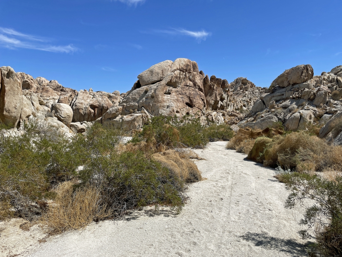
Hiking east now... looking for a path that will help us close the loop part of our hike and get us back to the car.
|
|
Hiking east now... looking for a path that will help us close the loop part of our hike and get us back to the car.
|
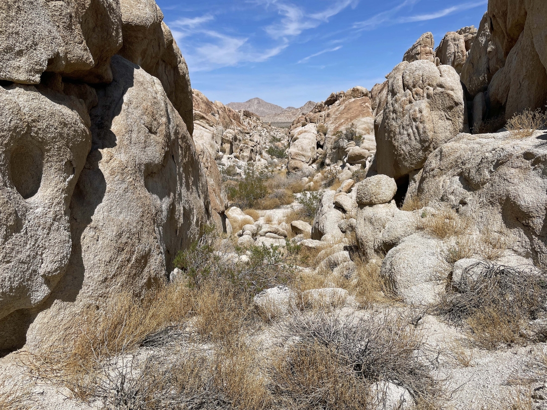
It gets a little tight here... but we can take this and head north to close our loop... with the Sheephole Mountains on the horizon.
|
Out of that narrow canyon in the previous photo... and continuing to hike north toward the Sheephole Mountains on the horizon.
|
After hiking a total of 3.25 miles we have closed the loop part of our hike... leaving another 1.25 miles of tracing our steps back to the car.
|
We are a stone's throw from our cars... with the Sheephole Mountains on the horizon... the total hike was 4.5 miles, gaining 311 feet of elevation.
|
