Tanzbodeli and Tanzbotini - 3.23.2025
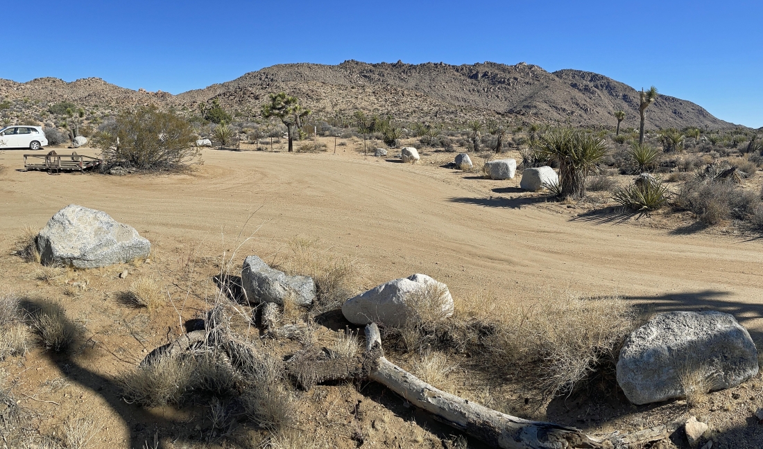
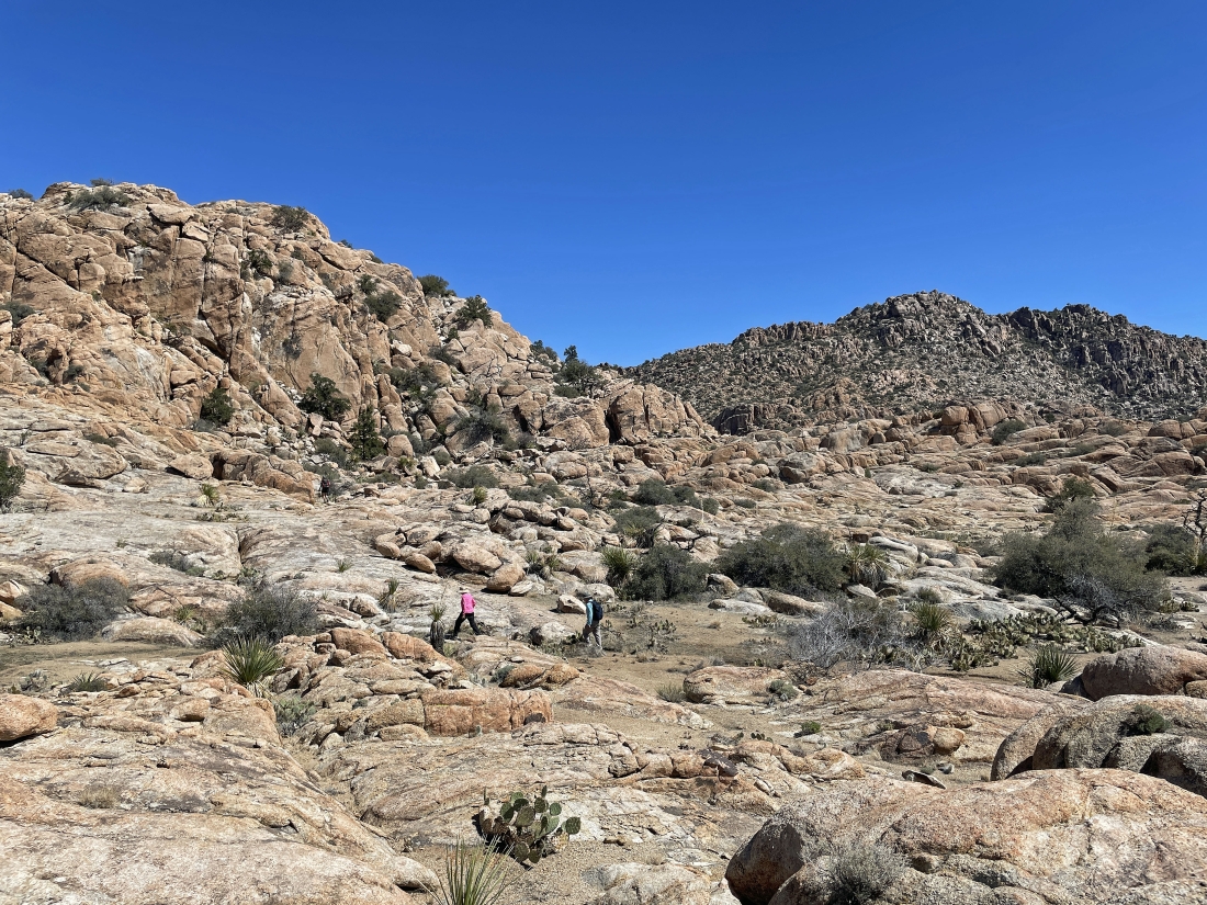
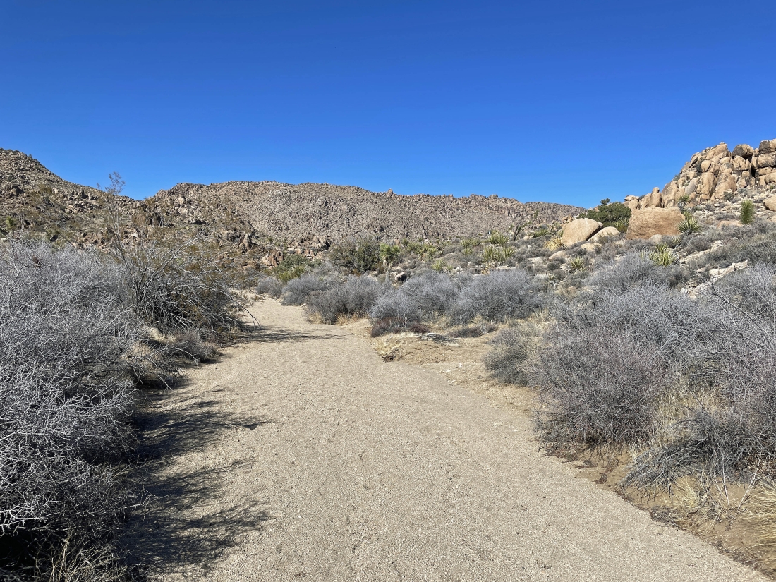
We parked at the end of O'Dell Road in Joshua Tree National Park... you are looking at Queen Mountain with the summit area out there on the right-center horizon... but we will be heading for the low point on the left horizon.
|
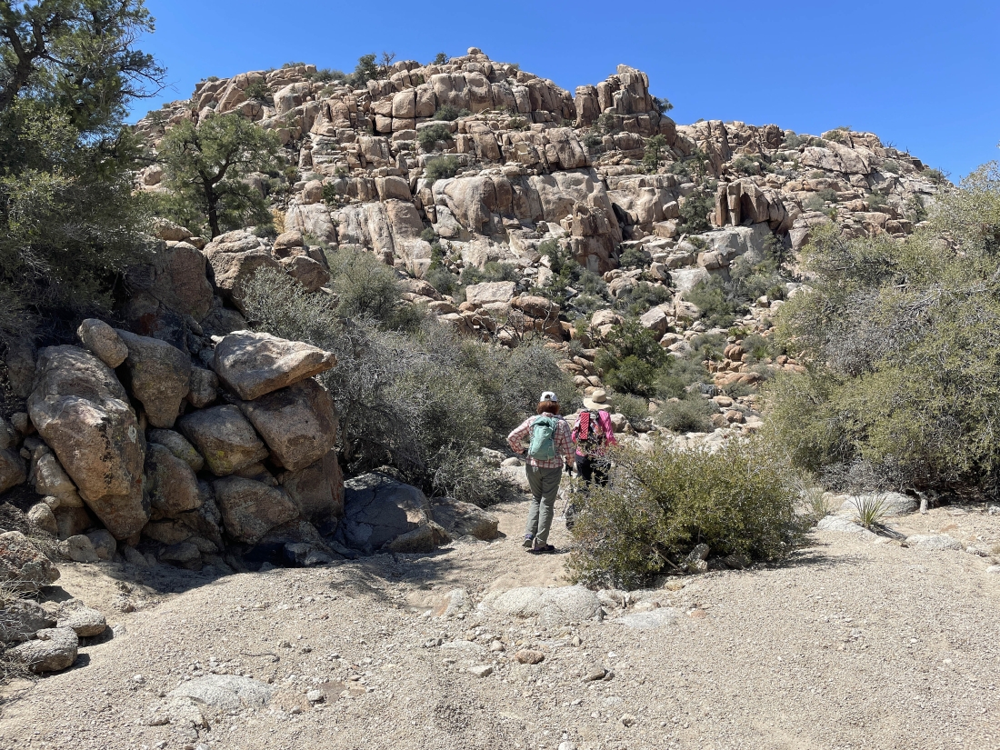
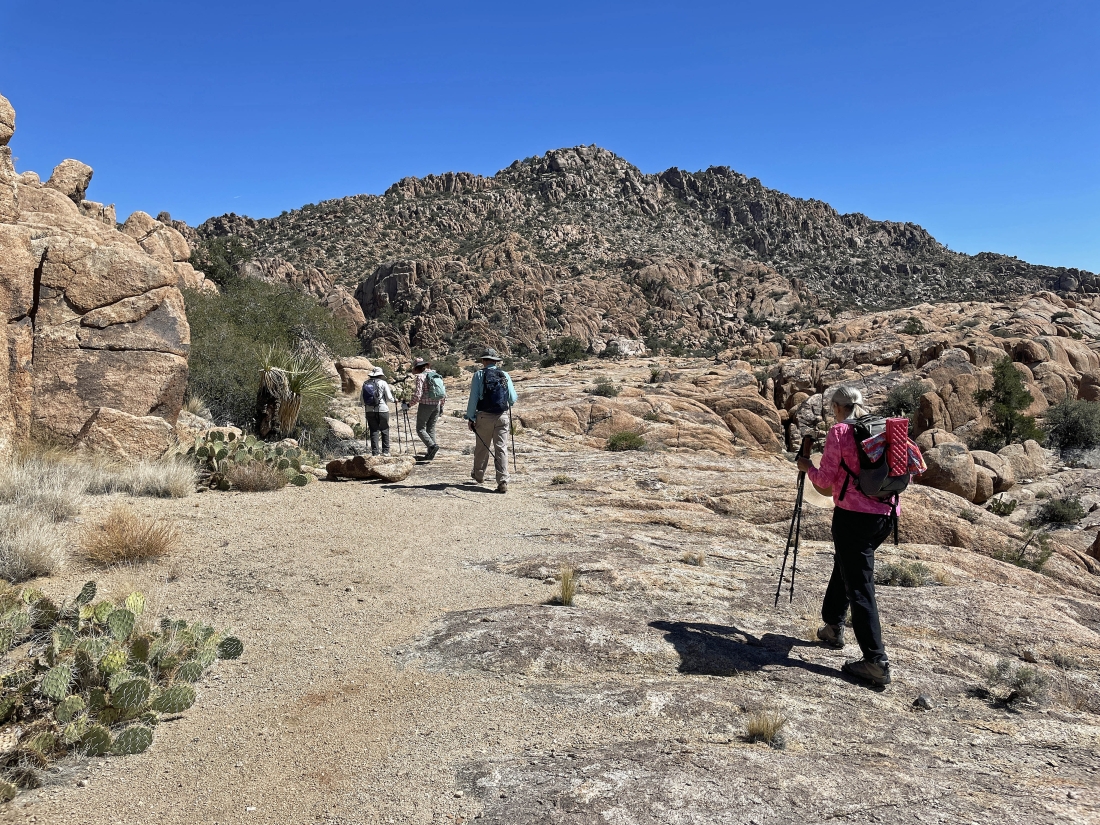
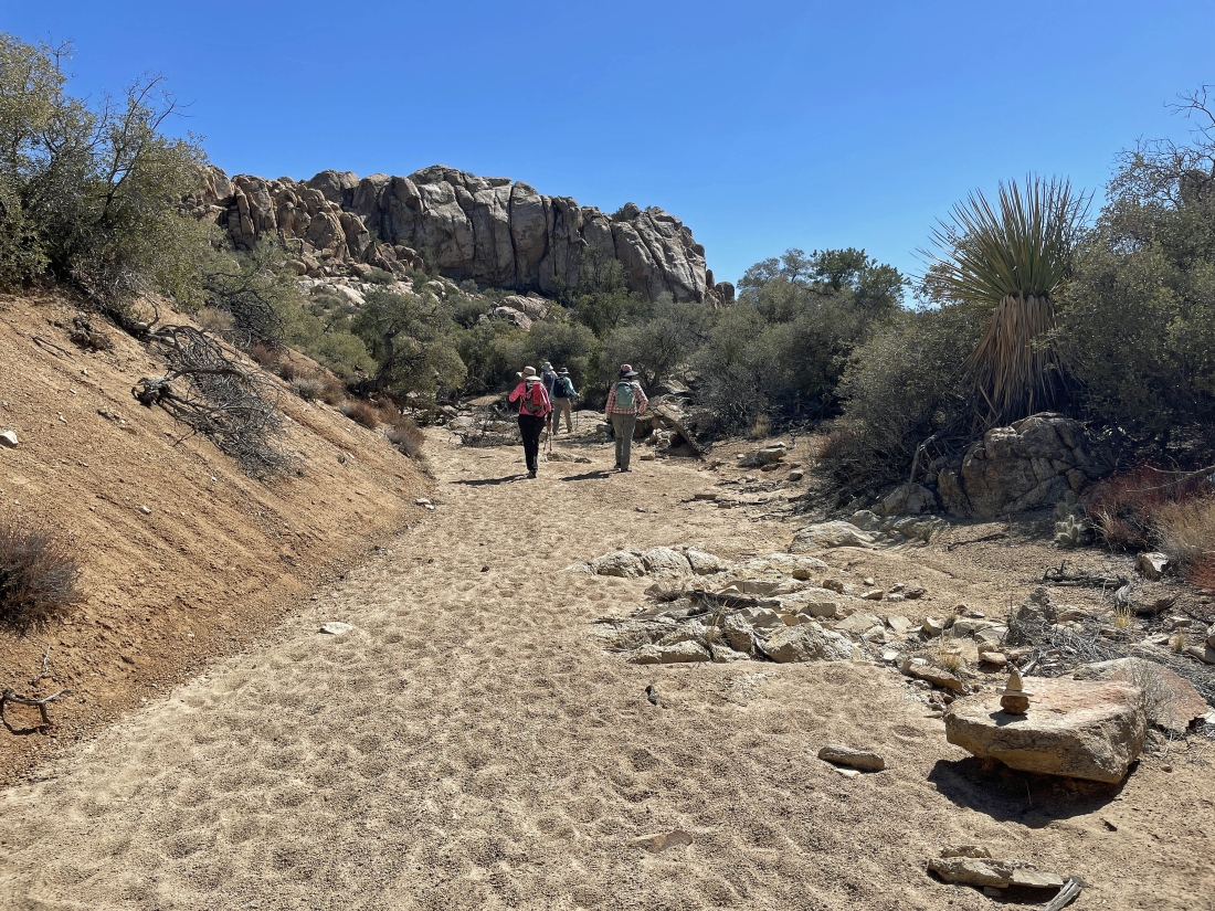
After hiking a half-mile we reached this huge pile of black rocks... this is where we will leave the trail and follow an obvious path that will take us up to the low point on the horizon.
|
Working our way up to the low point on the horizon.
|
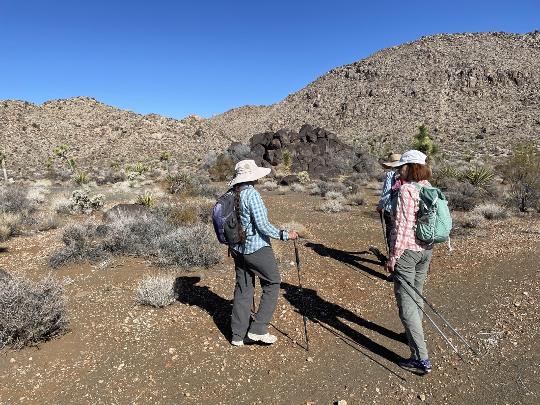
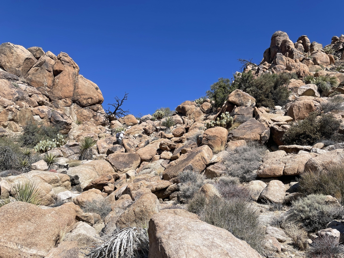
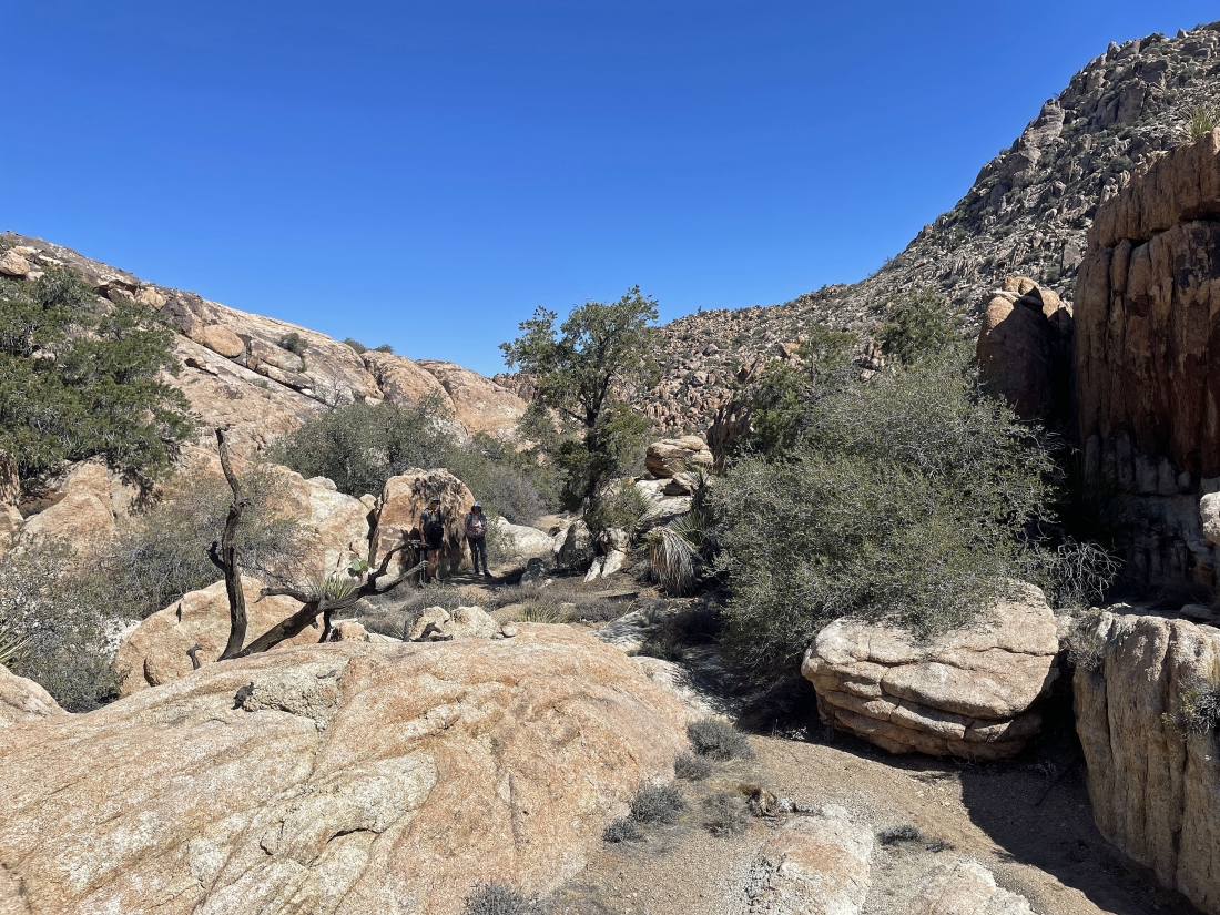
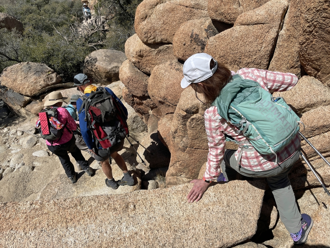
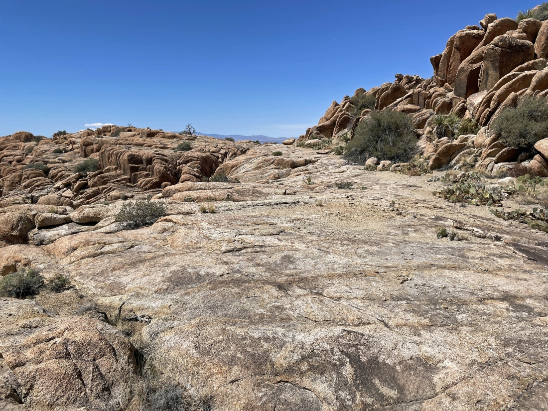
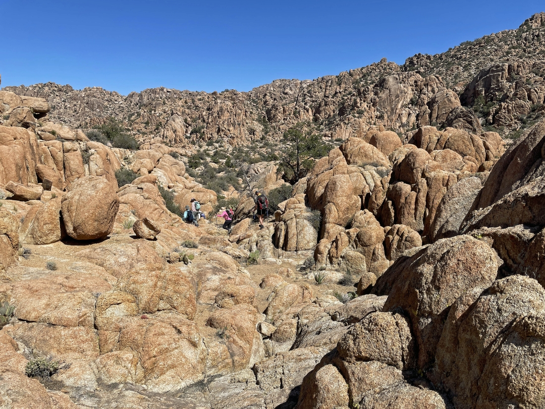
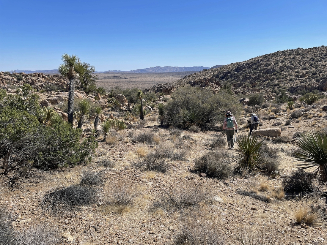
After hiking a total of 1.2 miles we have reached that 'low point on the horizon' mentioned in the previous photos... but it feels like we have entered a box canyon... and we will start scrambling our way to the NE to work our way out of the canyon.
|
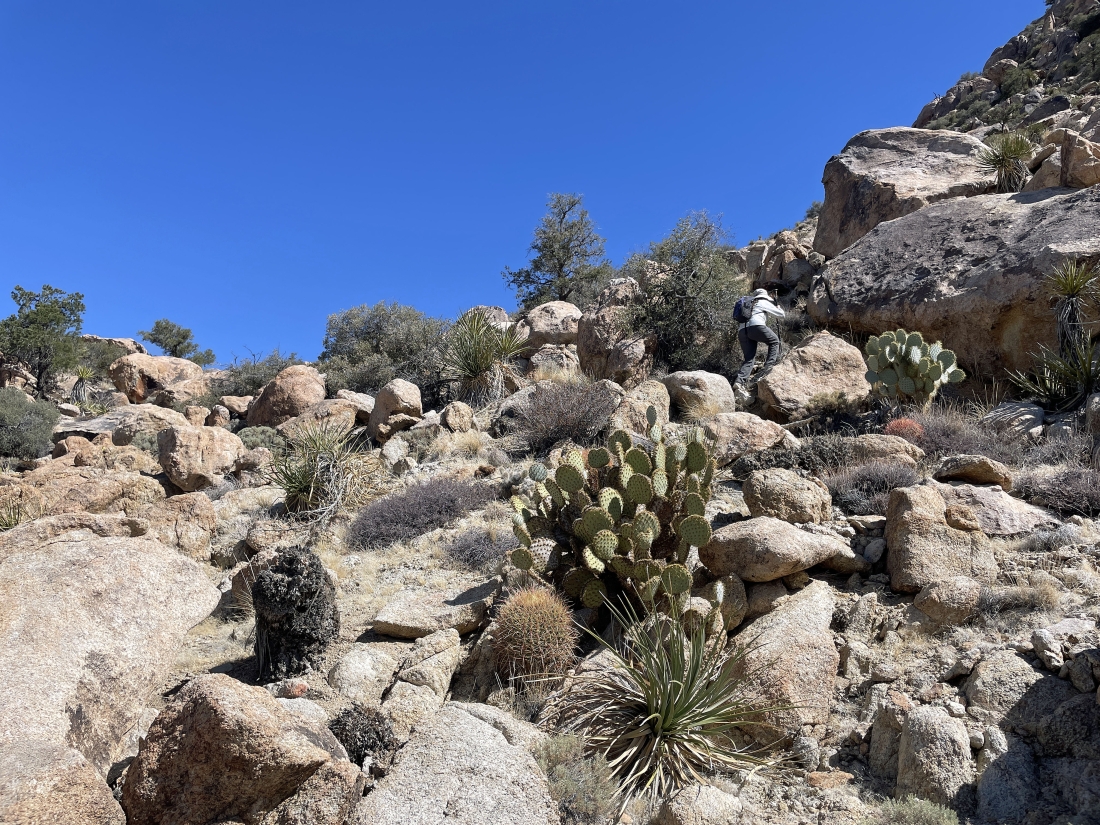
After hiking a short distance to the NE we have started scrambling our way to the north.
|
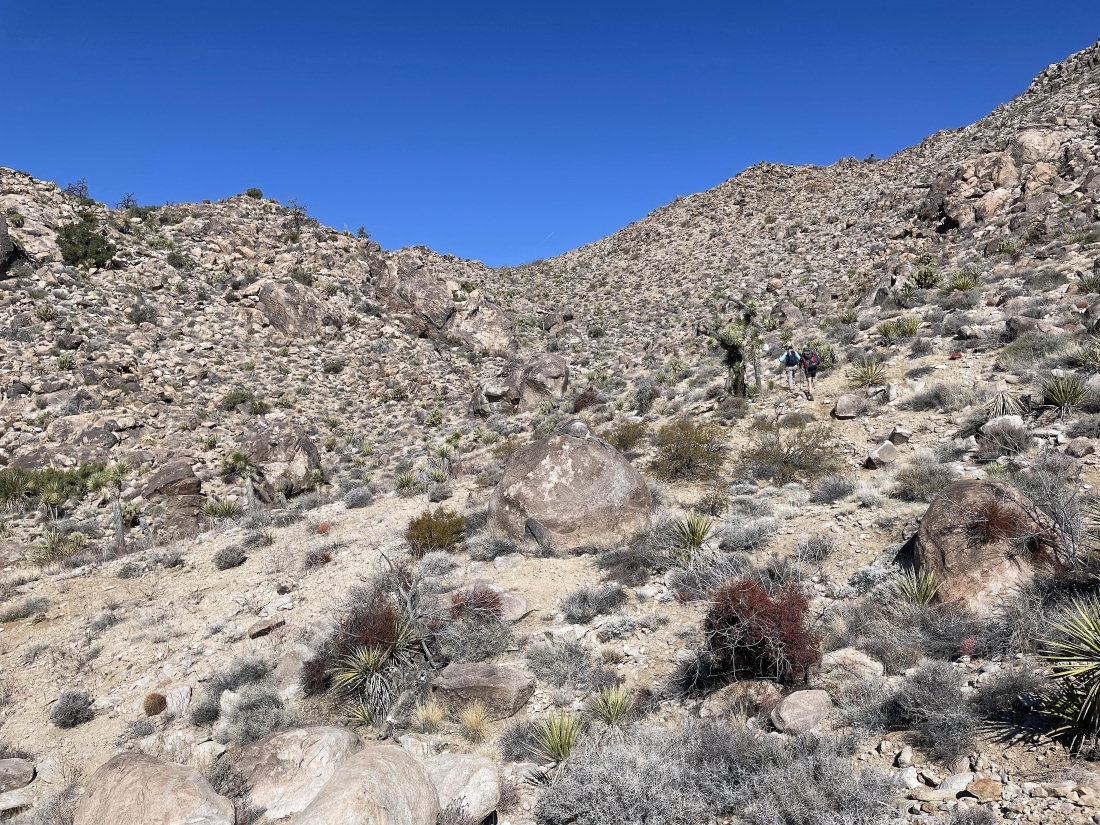
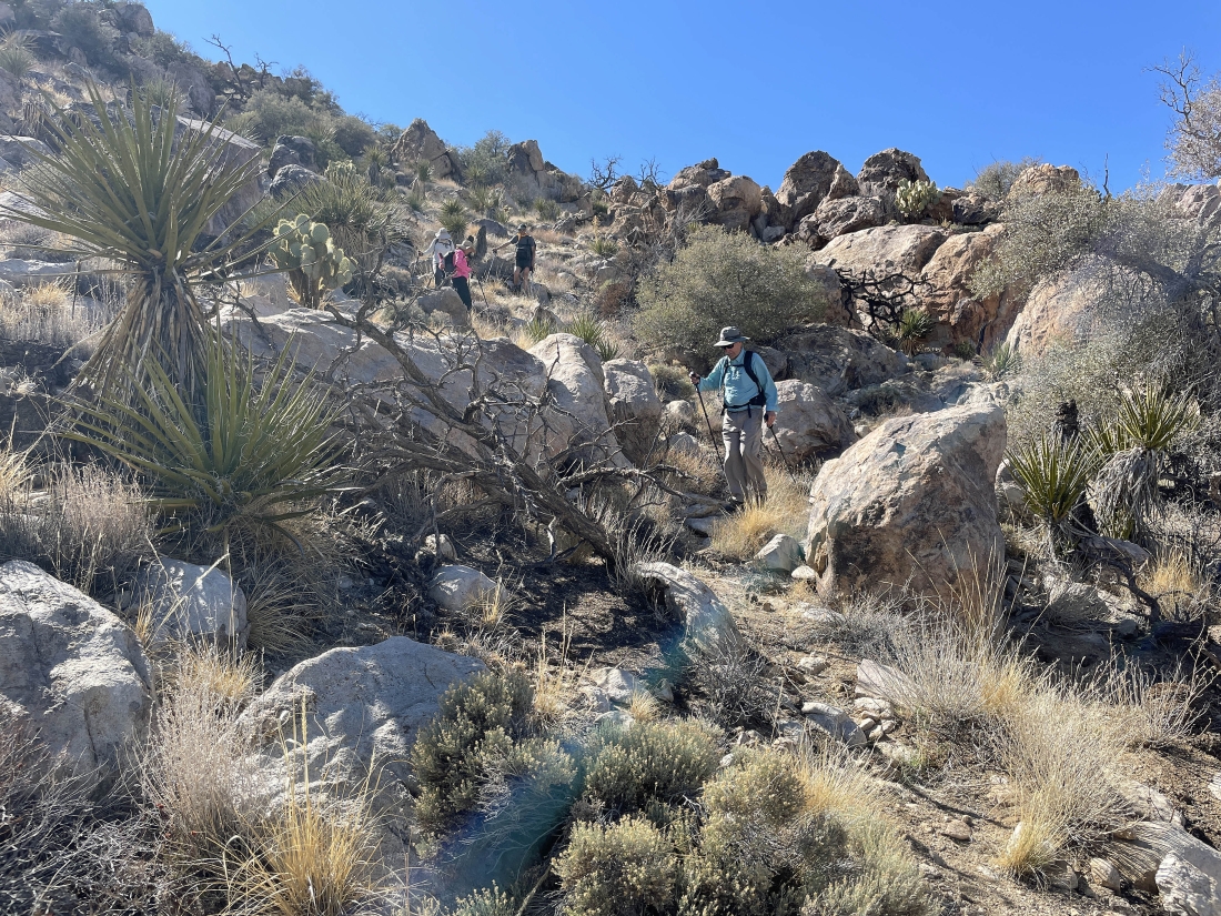
Continuing to scramble our way to the north... still gaining elevation.
|
Continuing to hike to the north as the terrain has flattened out a bit... here we are looking back at where we came from... with Ryan Mountain on the far right horizon.
|
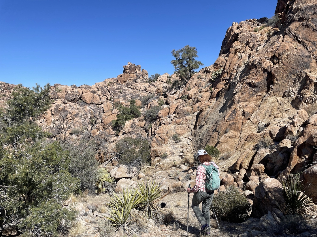
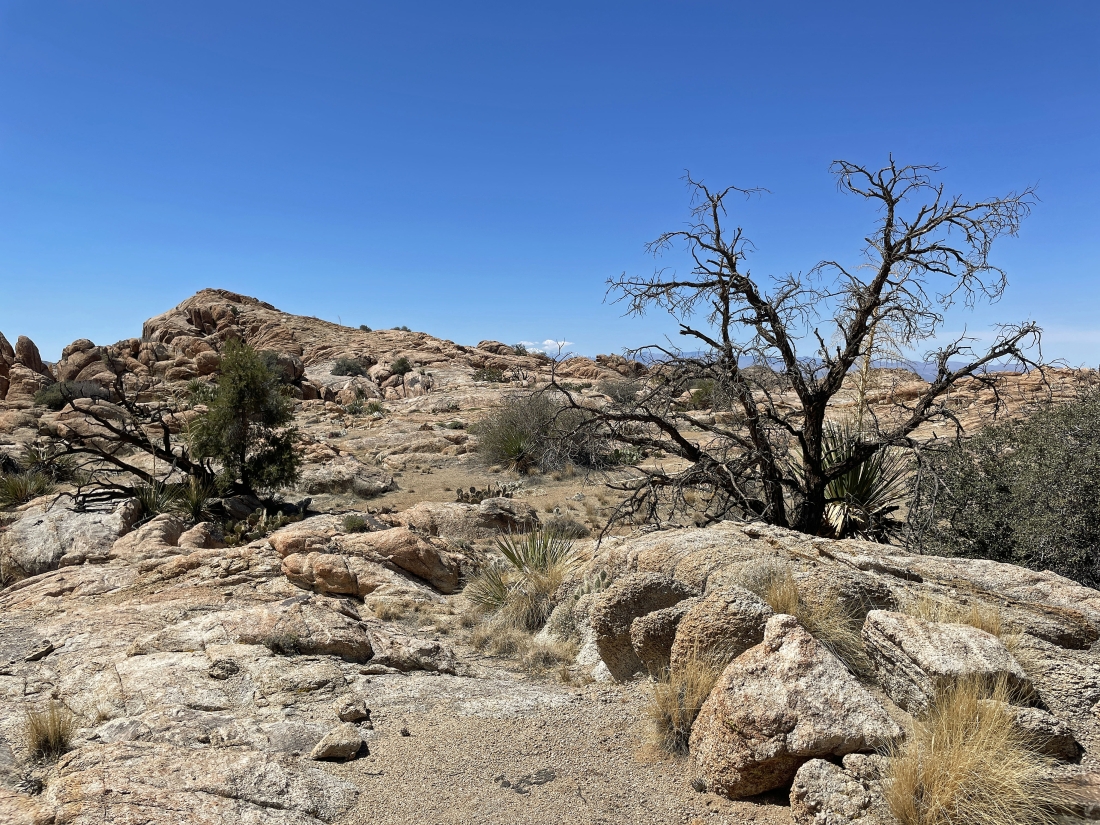
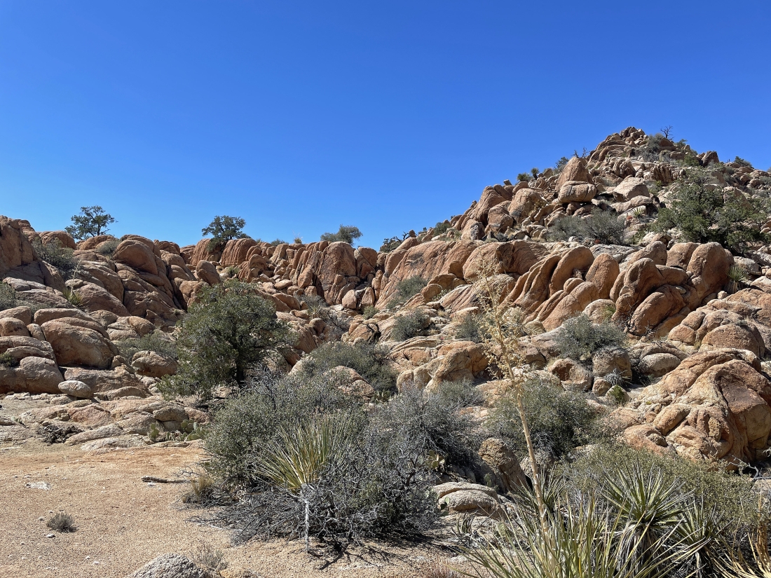
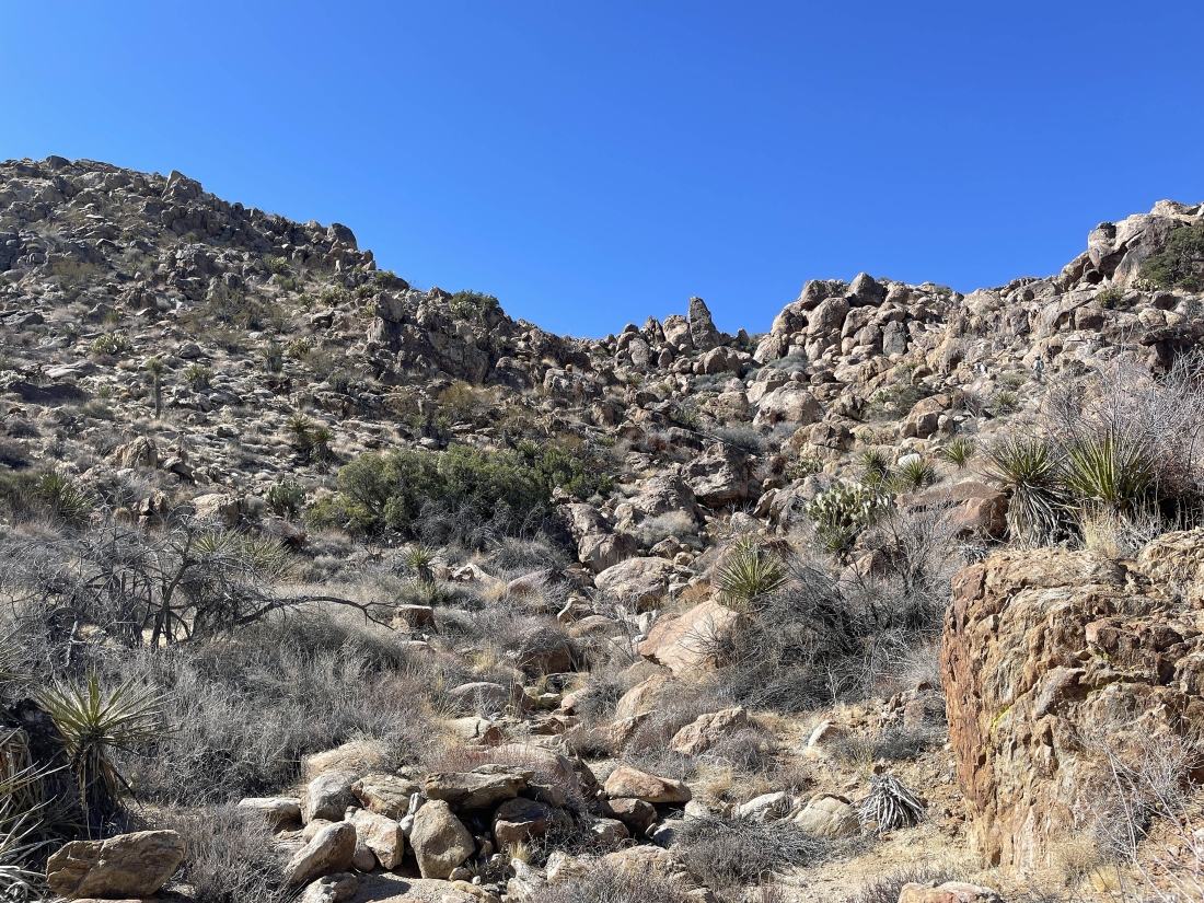
After hiking on flat terrain for a short distance it is time to gain some more elevation as we continue to hike to the north... and that looks like some interesting rock up there on the left.
|
Continuing to hike north.
|
Continuing to hike north... and still gaining elevation.
|
After hiking a total of 1.5 miles we have reached an elevation of 4900 feet... and got our first view of the San Bernardino Mountains on the west horizon.
|
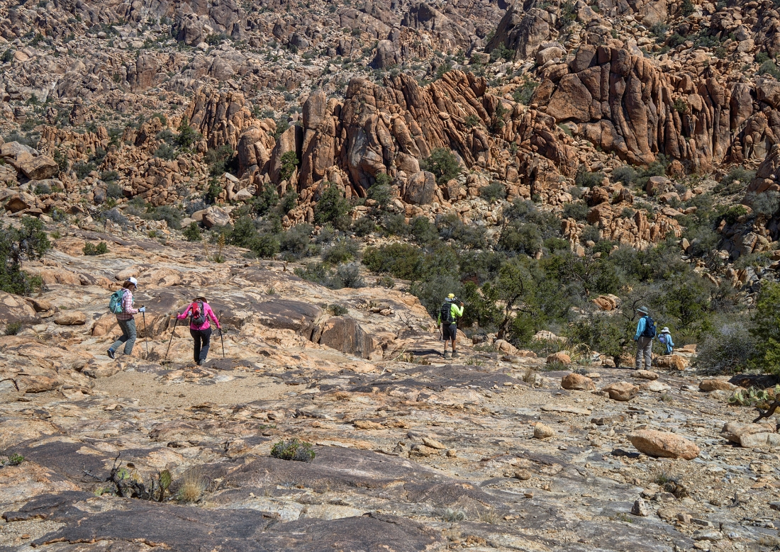
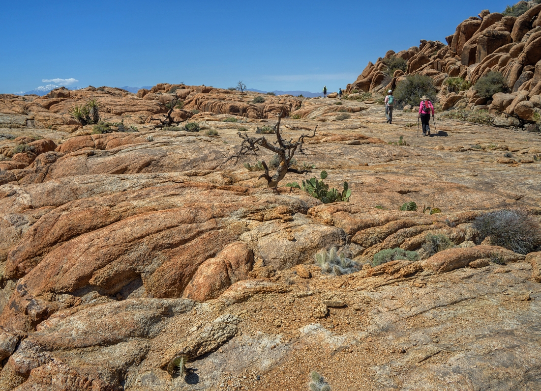
We call this flattish area 'Tanzbotini'... and the flattish area will continue for a quarter-mile as we continue to hike to the north.
|
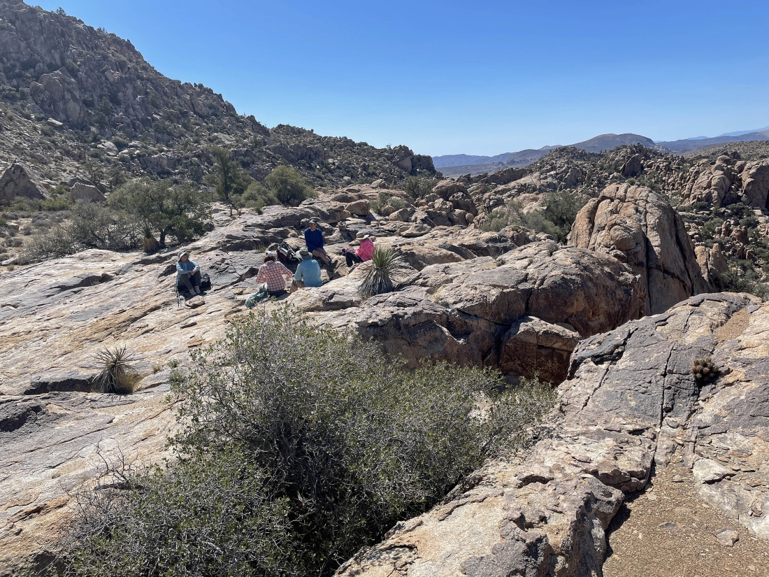
Taking a break in Tanzbotini... as I look back to the south at Ryan Mountain on the right horizon.
|
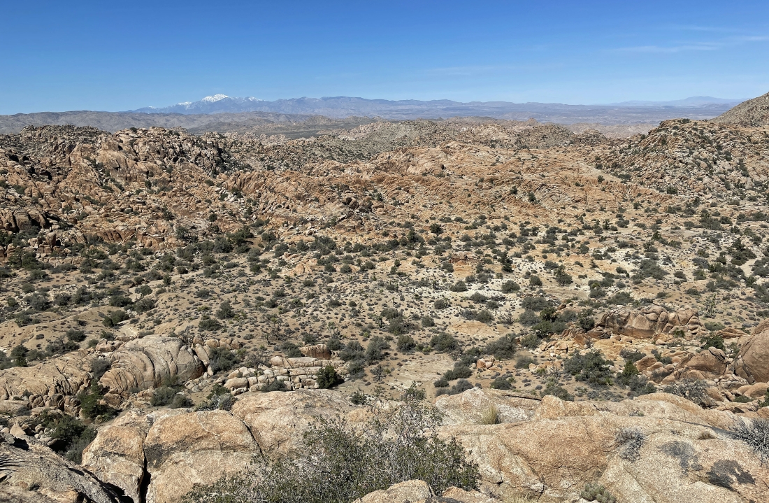
Looking west beyond Tanzbodeli in the foreground to the San Bernardino Mountains on the horizon... with the 11,500 foot snow covered San Gorgonio Mountain on the horizon.
|
Taking another break on the smooth rock in Tanzbotini.
|
|
I continued hiking north in Tanzbotini... here looking back to the gang hanging out on the far left horizon.
|
Prosit and BarbE are enjoying this gap in the rocks... looking west out to the snow covered San Gorgonio Mountain.
|
Continuing to hike north in Tanzbotini... and we are going to head up to that high point on the far left.
|
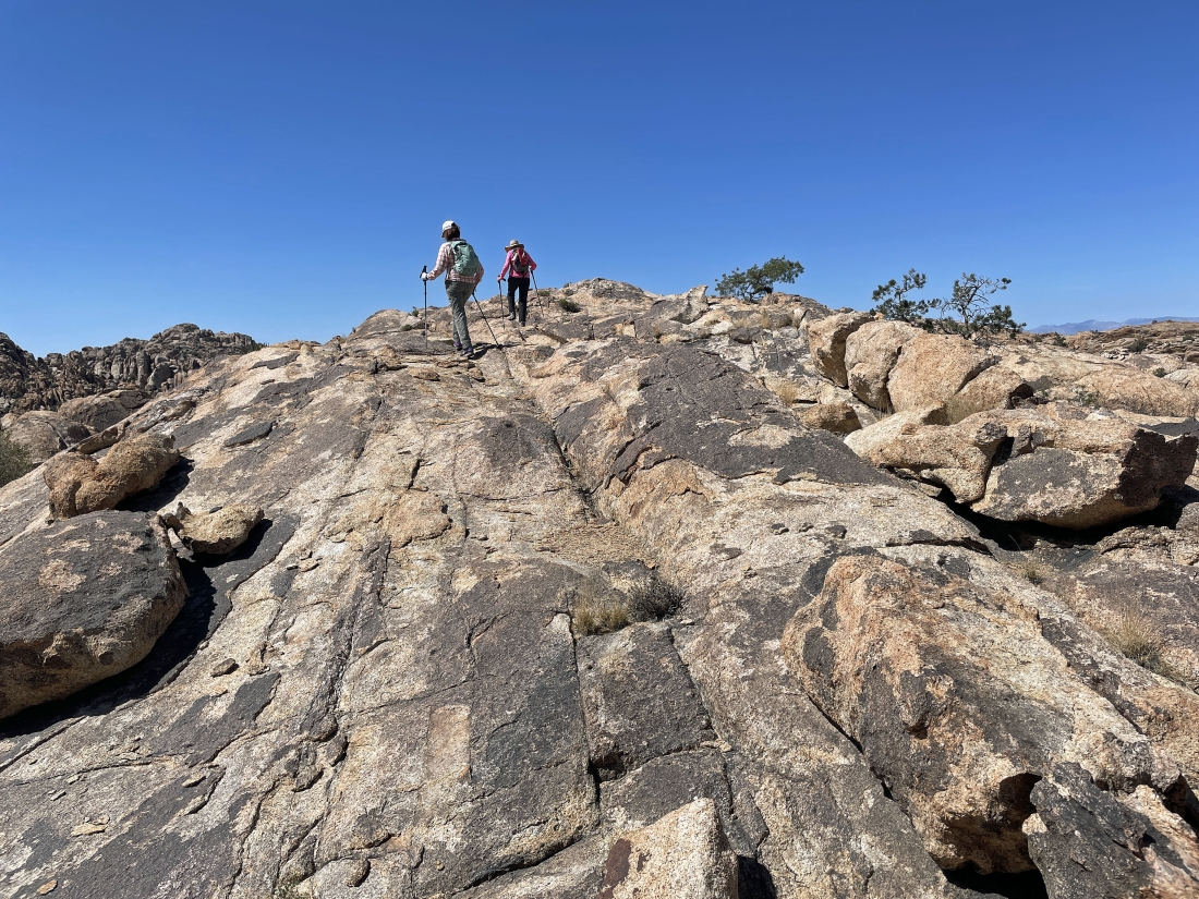
BarbE and Denali Girl are heading up to that high point in the previous photo.
|
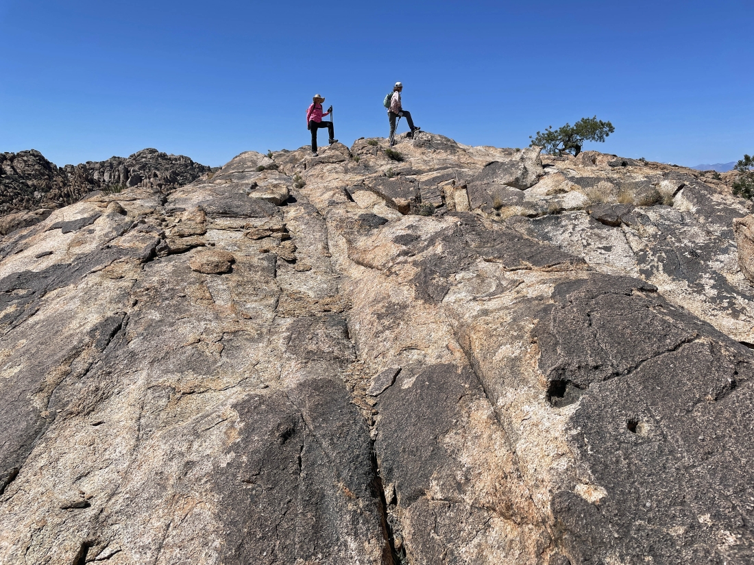
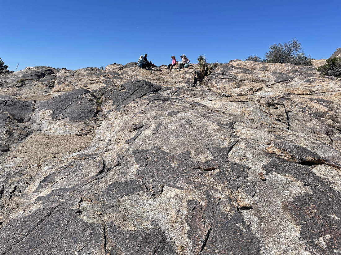
Denali Girl and BarbE have reached the high point.
|
Prosit took this photo of us hiking down from the high point in the previous photo... as we get ready to leave Tanzbotini.
|
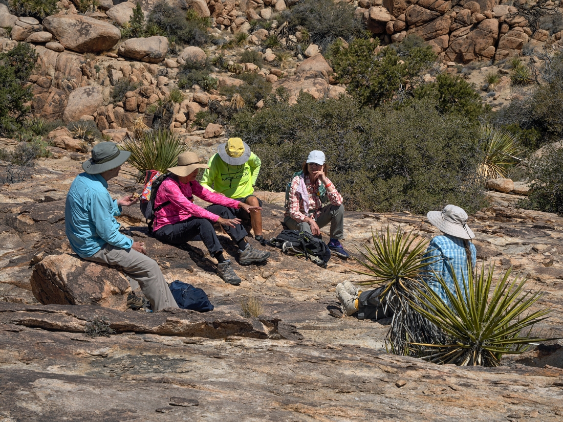
Prosit took this photo of us taking a break before leaving the Tanzbotini area.
|
We have left the Tanzbotini area... getting ready to hike to the west in search of Tanzbodeli.
|
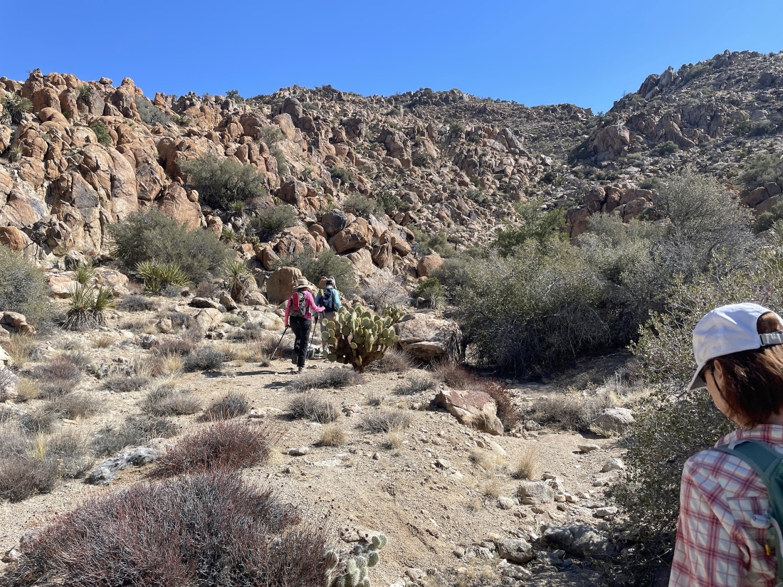
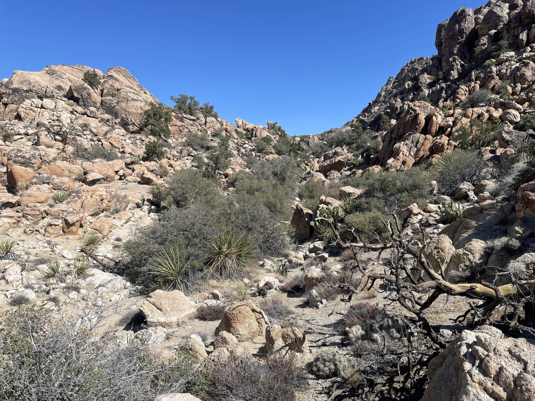
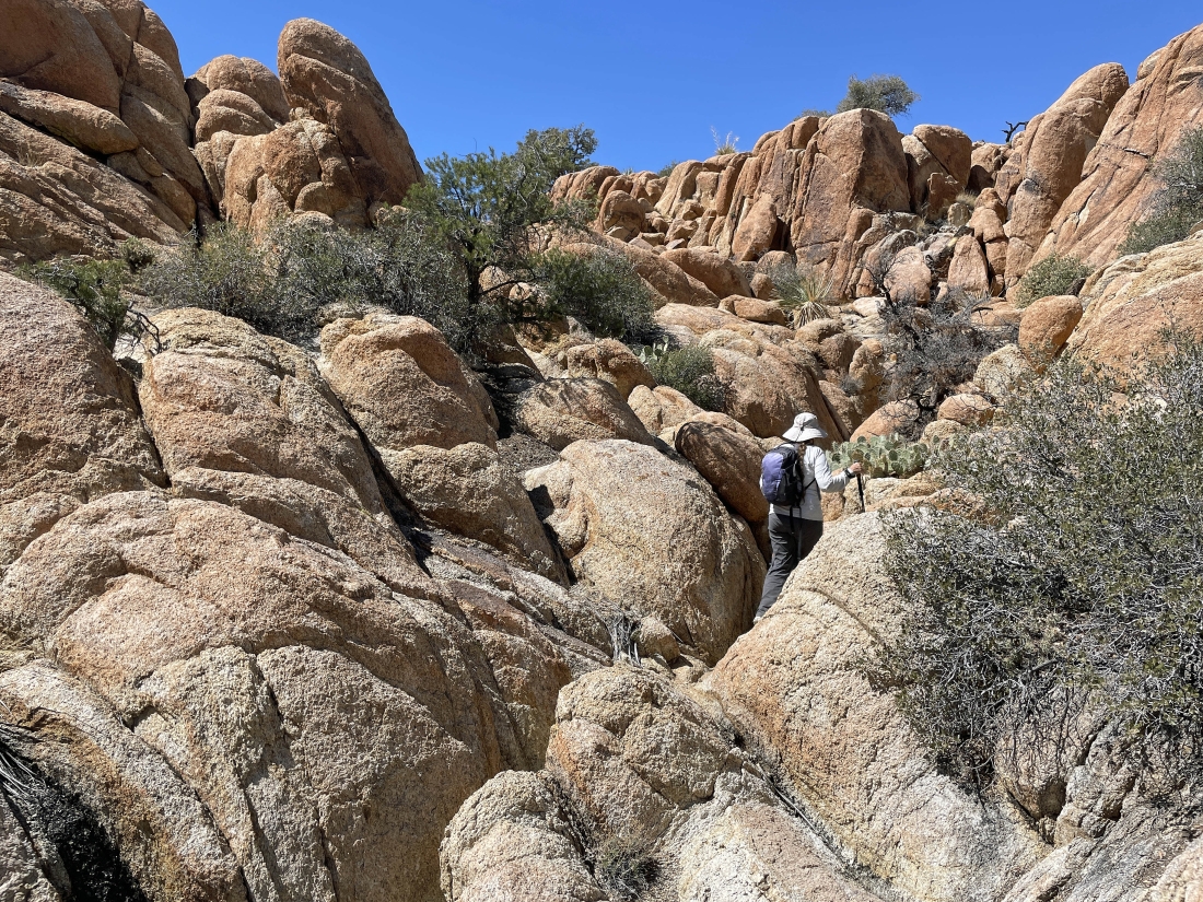
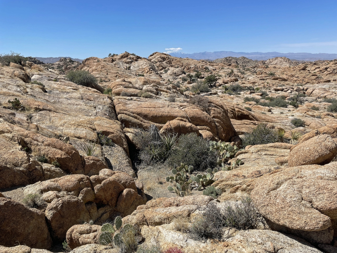
Scrambling our way west over to a huge wash.
|
Almost back to the huge wash... and getting ready to follow the big wash to the south... looking for the entrance to Tanzbodeli.
|
After hiking a quarter mile to the south in the big wash Star Dancer has left the wash and headed west for Tanzbodeli.
|
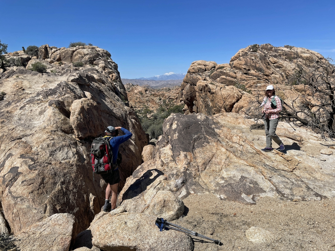
I'm looking down at tomman as he hikes up to join me and Star Dancer... as I look back across the huge wash in the middle of the photo at the Tanzbotini rock formations just above the wash.
|
Now using what we call the 'Tanzbodeli Highway' to enter Tanzbodeli.
|
Prosit took this photo of the gang entering Tanzbodeli via the Tanzbodeli Highway.
|
We are at the west end of the Tanzbodeli Highway... looking west out to the high point in Tanzbodeli... with the snow covered San Gorgonio Mountain almost completed covered by a cloud.
|
Getting closer to the high point in Tanzbodeli.
|
I'm at the high point in Tanzbodeli... looking back at Denali Girl, tomman and Prosit as they come over to join me.
|
Arriving at the high point in Tanzbodeli.
|
A view west from the high point of Tanzbodeli.
|
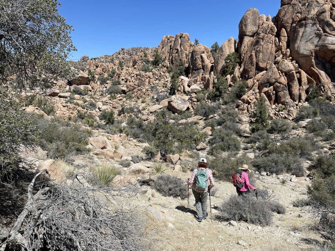
Hiking across Tanzbodeli on our way back to the west end of the Tanzbodeli Highway.
|
Leaving Tanzbodeli on the highway.
|
Leaving the Tanzbodeli Highway and heading back down to the big wash.
|
Back in the big wash... here looking back at the rock formations that lead up to the Tanzbodeli Highway.
|
Now hiking south in the big wash.
|

Still hiking south... but we have left the big wash and will try a route back to the car that none of us have ever done.
|
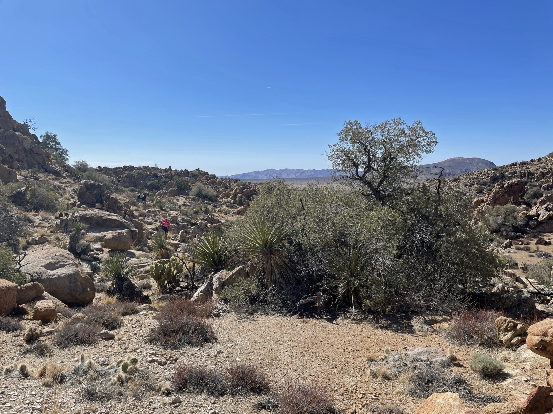
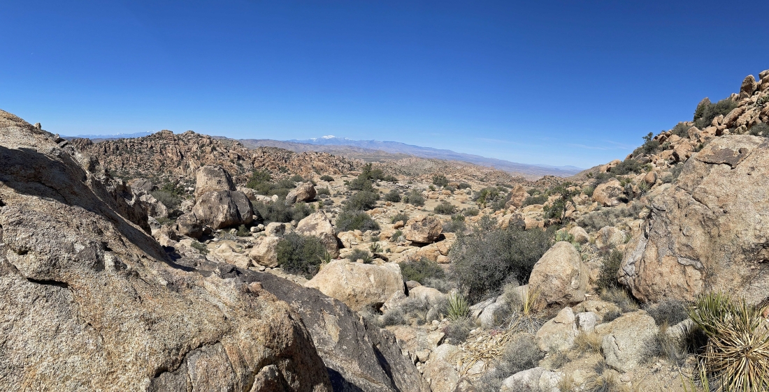
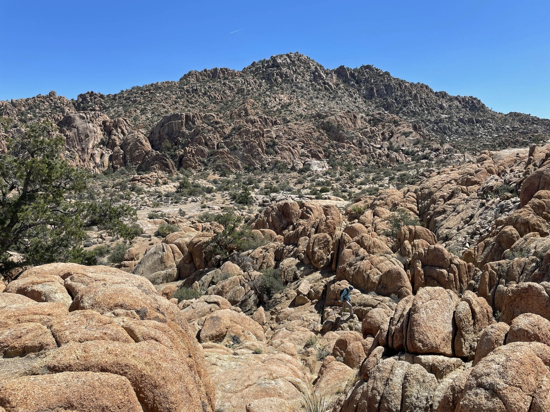
Now hiking SE on the new route... and it is nice to see the desert floor out there in the distance.
|
Continuing to hike SE on our new route... looking for the desert floor.
|
Continuing to hike SE on our new route... looking for the desert floor.
|
Continuing to hike SE on our new route... looking for the desert floor.
|
After hiking a total of 5.8 miles we have found the desert floor... leaving one more mile to get back to the car... with the total hike being 6.8 miles, gaining 1020 feet of elevation.
|
