Paulina Peak - 6.28.2025
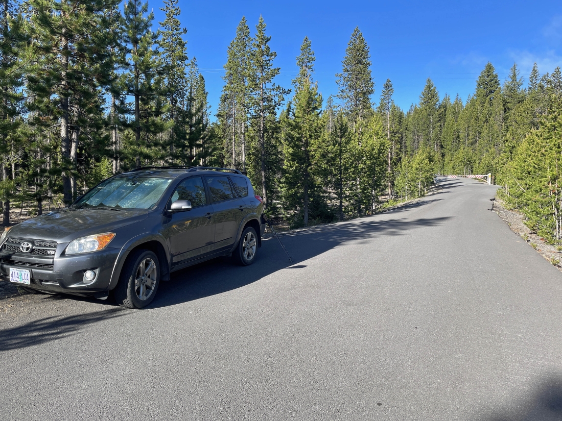
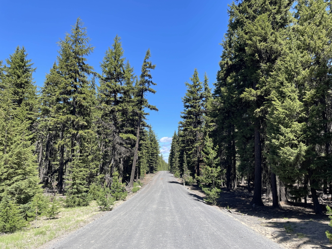
From Hwy 97 near La Pine, Oregon, I drove Paulina Lake Road (aka County Hwy 21) for 12.6 miles... then truned right on National Forest Development Road 500... and after driving Road 500 for a very short distance I parked at 6,360 feet of elevation... near where the road was gated... then began hiking up the road.
|
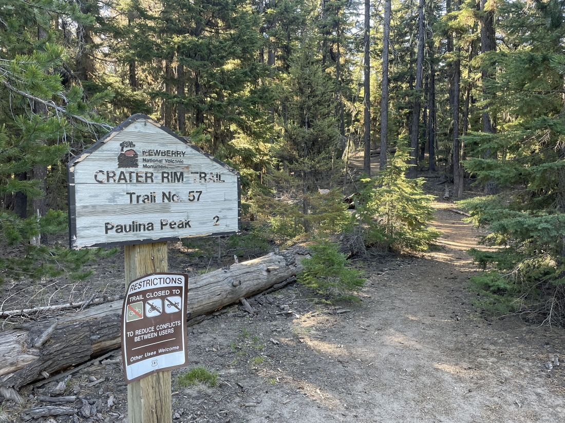
After hiking Road 500 for .65 miles I joined the Crater Rim Trail #57... and began hiking in the woods.
|
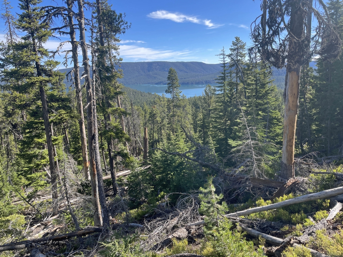
After gaining approximately 300 feet of elevation from where I had parked, Paulina Lake started to come into view.
|
At around 7,200 feet of elevation I can see most of Paulina Lake on the left... and part of East Lake in the middle of the photo... still gaining elevation with every step... and the Paulina Peak summit is not in view just yet.
|
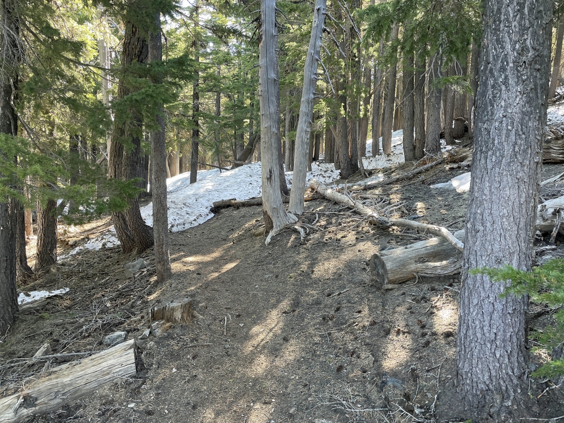
I hit patchy snow at approximately 7,500 feet of elevation.
|
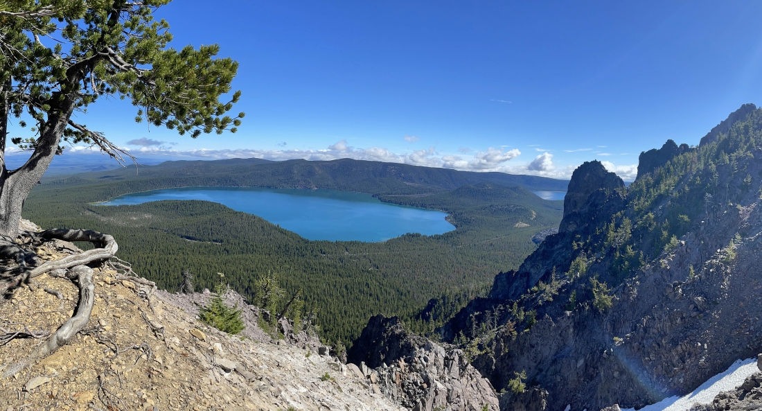
At approximately 7,700 feet I can see all of Paulina Lake.
|
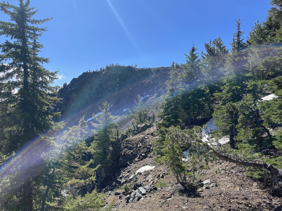
Still gaining elevation and I can see part of the parking area railing up above... and that is very close to the summit.
|
Less than 100 feet of elevation gain to the Paulina Peak summit on the far right... with part of Paulina Lake in the distance on the left... and part of the 'Big Obsidian Flow' down below in the middle of the photo... and East Lake out there in the middle of the photo.
|
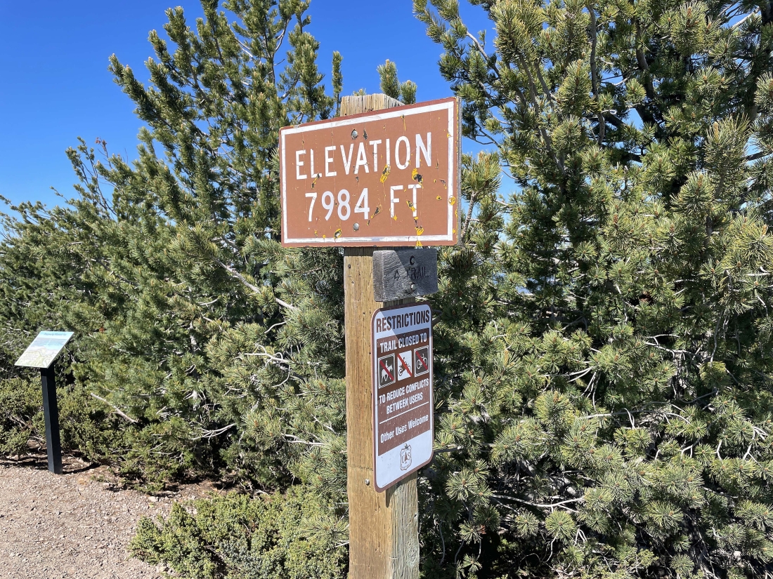
I have reached the summit sign... which is actually 30 feet below the true summit of Paulina Peak.
|
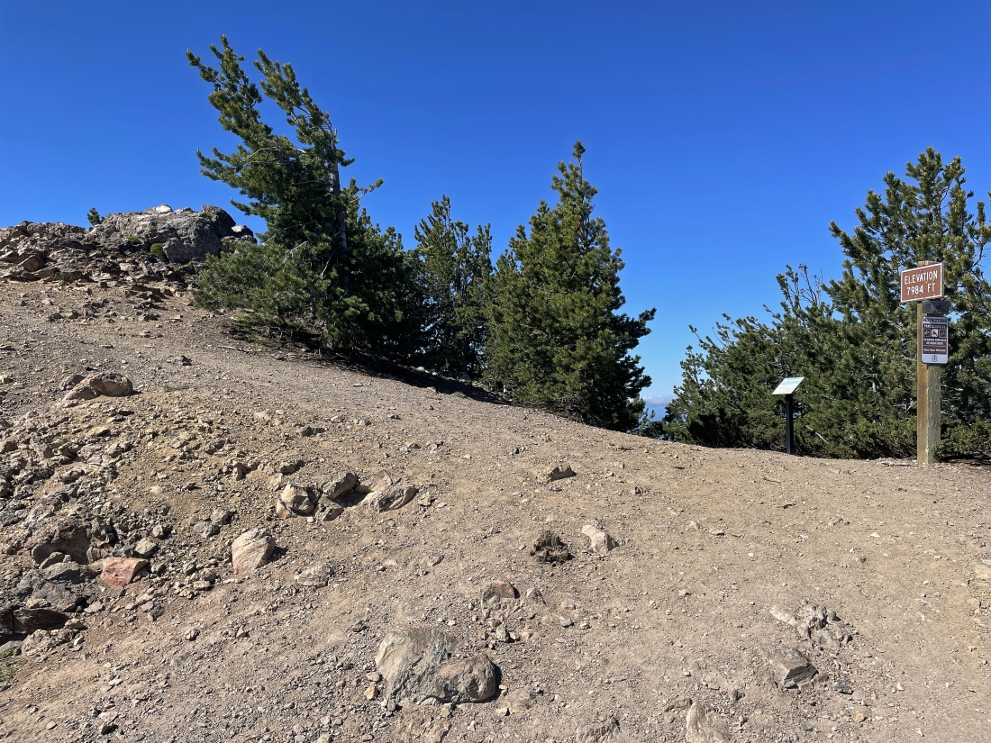
The 7,984 foot summit of Paulina Peak is up there on the left... with the summit sign on the far right.
|
|
Looking north from the 7,984 foot summit of Paulina Peak... with Paulina Lake on the left... and East Lake on the right.
|
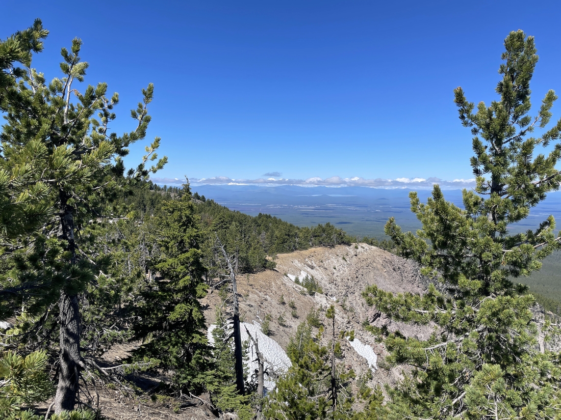
I went down from the summit to the parking area and took this pano... looking at the clouds to the NW that were covering up the Cascade peaks... and now I will go out to the far right in this photo and see what the view offers.
|
Looking down below at the massive 'Big Obsidian Flow'... with Paulina Lake on the left... and East Lake in the middle of the photo.
|
Tracing my steps back down to the car... and it seemed like the clouds were trying to get off of the Cascade Range peaks.
|
I have returned to Road 500... leaving a .65 mile hike back to the car... the total hike was 5.9 miles, gaining 1,642 feet of elevation.
|
