Mount Bachelor - 8.4.2025
|
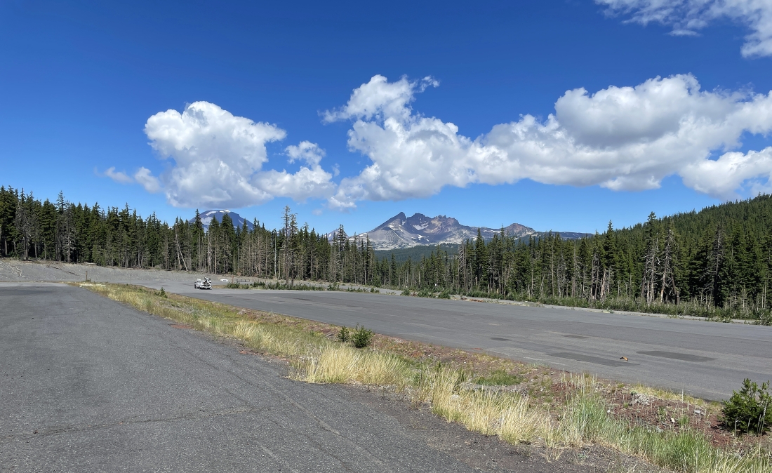
I parked at the gated entrance to Mount Bachelor's Sunrise Lodge... just off of the Cascade Lakes Highway.
|
I have left my car and heading across the Sunrise Lodge parking lot looking for the bottom of the Sunrise Express Chairlift.
|
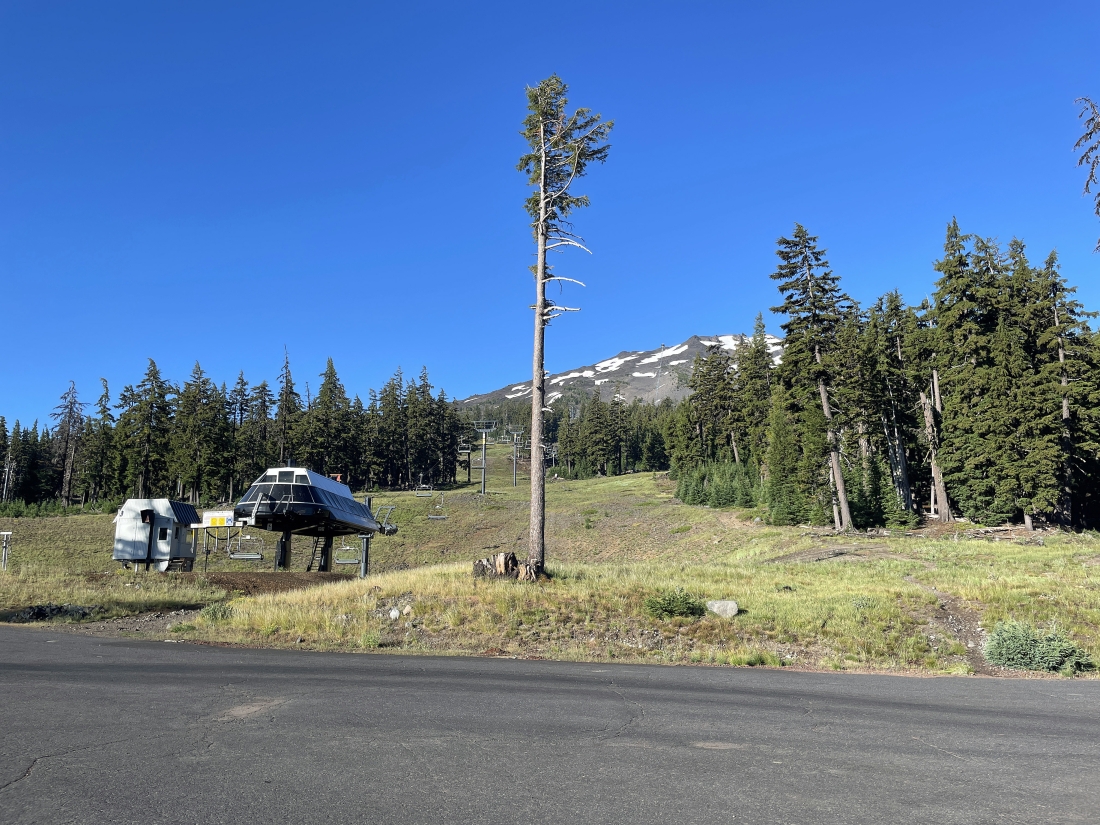
It doesn't take very long to find the bottom of the Sunrise Express Chairlift... I will head uphill on the boot path in the middle of the photo.
|
After hiking uphill a very short distance on the boot path I will turn right and head uphill on a dirt service road.
|
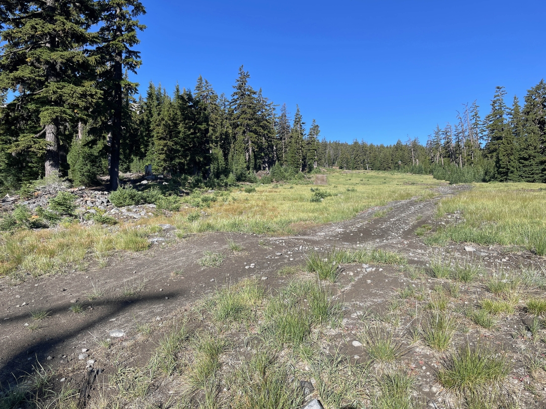
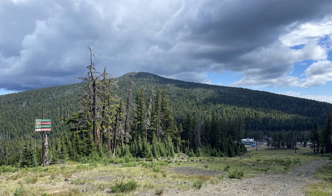
After hiking uphill on the dirt service road for a short distance I am looking back down at the Sunrise Lodge in the middle of the photo... and I'm getting ready to join the unsigned Fly Creek Trail on the right. The Fly Creek Trail crosses the dirt road here and originates at the West Village of Mount Bachelor.
|
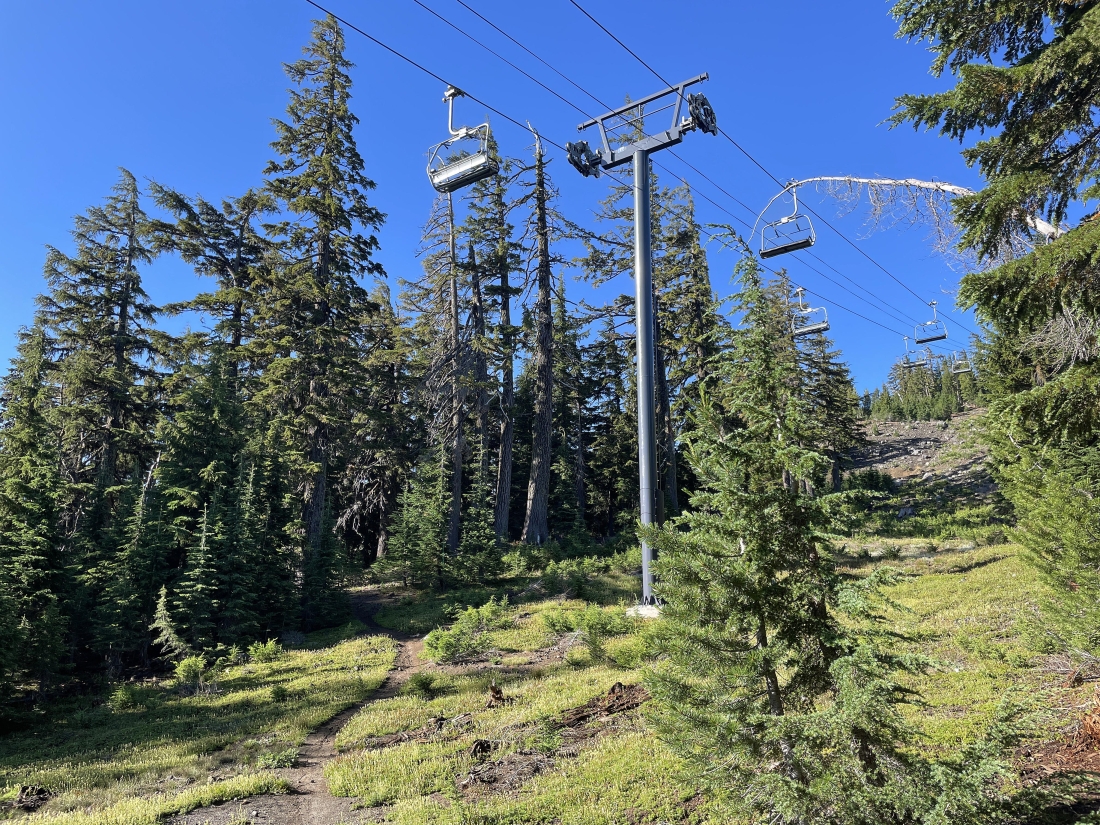
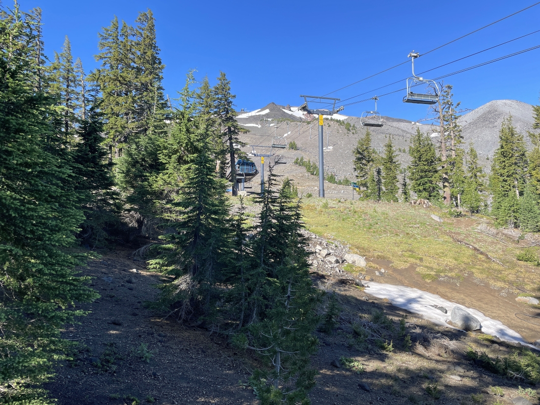
Gaining elevation on the Fly Creek Trail... here crossing underneath the Sunrise Express Chairlift.
|
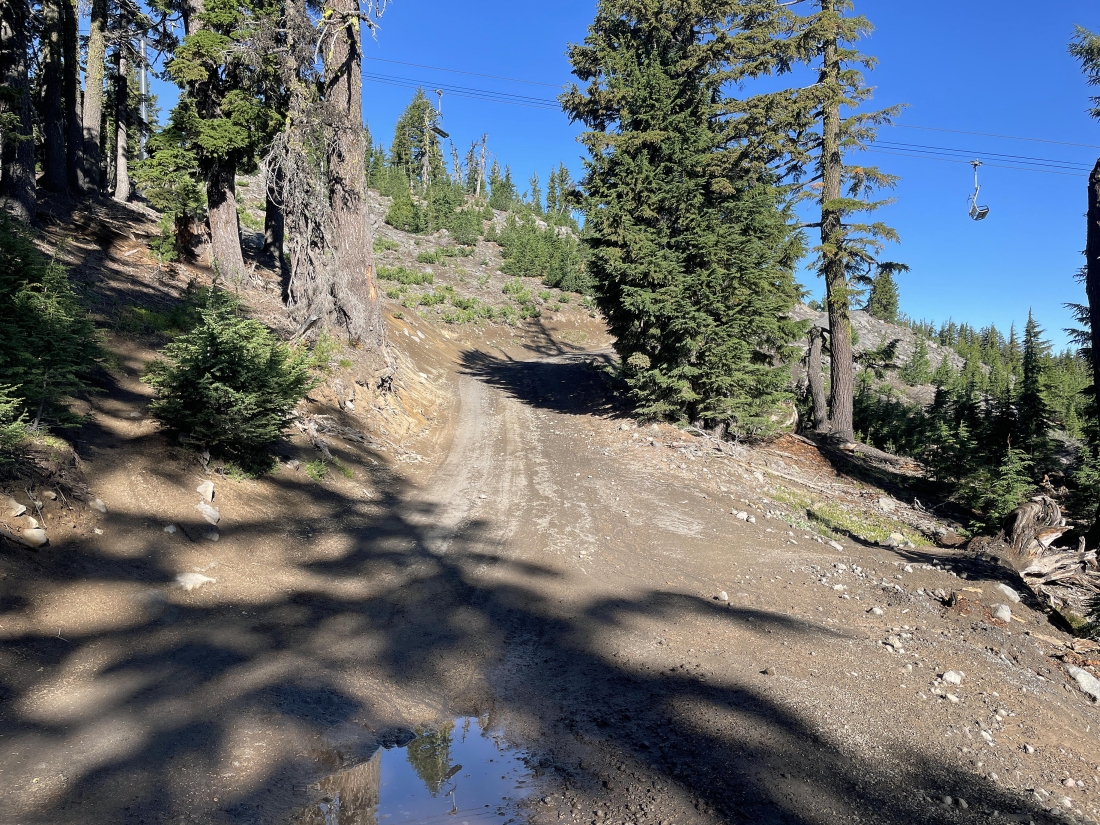
Crossing over another Service Road and continuing to hike uphill on the Fly Creek Trail... the trail is in the shadows on the far left in the photo.
|
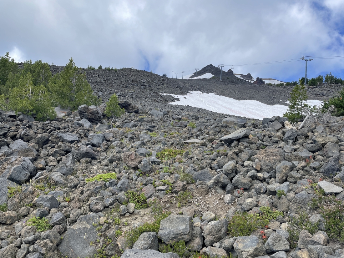
Almost done hiking on the Fly Creek Trail... and I can barely see the top of the Sunrise Express Chairlift in the middle of the photo.
|
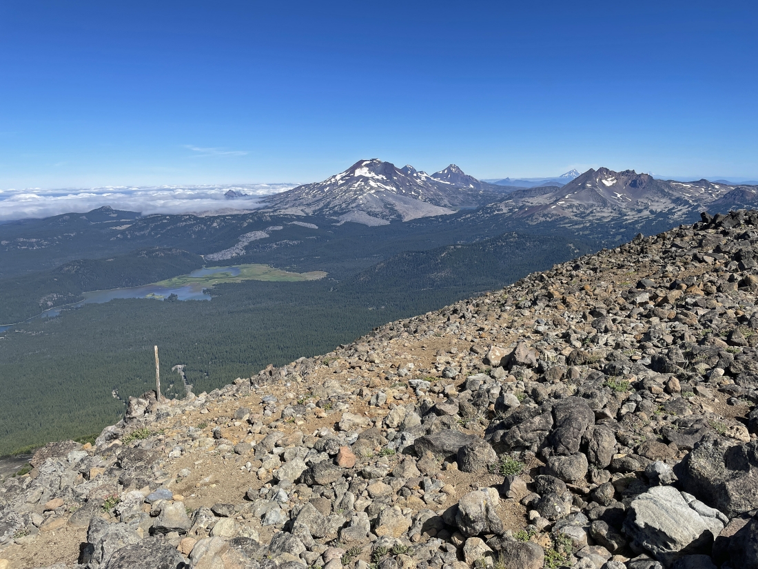
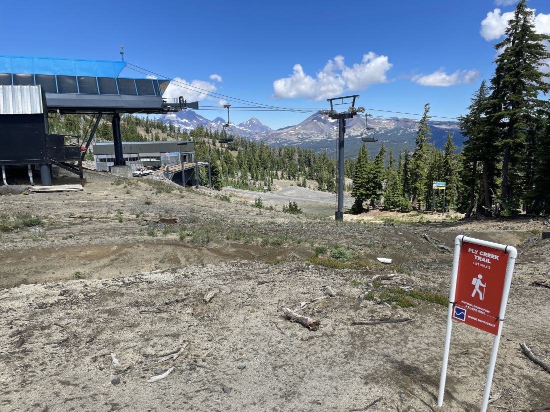
After hiking a total of 1.25 miles from my car I have reached the top of the Sunrise Express Chairlift in the left foreground... and looking over at the bottom of the Summit Express Chairlift... and on the horizon I can see the Three Sisters... with Broken Top on the far right.
|

Leaving the Fly Creek Trail and starting to continue hiking on the Summit East Trail... the sign on the right says that I should not continue hiking if I am wearing flip-flops.
|
|
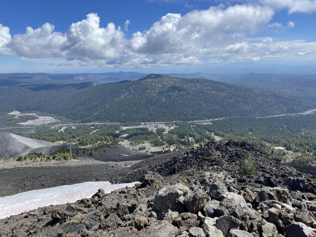
Gaining elevation on the Summit East Trail... here looking back down at the bottom of the Summit Express Chairlift and the top of the Sunrise Express Chairlift... with the Three Sisters and Broken on the left horizon... and Tumalo Mountain on the right horizon.
|
Continuing to gain elevation on the Summit East Trail.
|
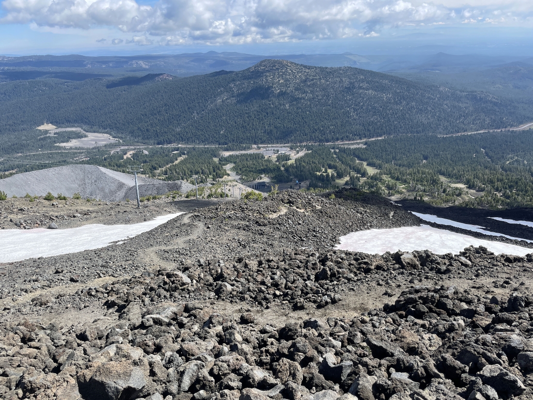
Gaining elevation on the Summit East Trail... here looking back down at the bottom of the Summit Express Chairlift and the top of the Sunrise Express Chairlift... further down I can see the Sunrise Lodge parking lot... with Tumalo Mountain on the other side of the Cascade Lakes Highway.
|
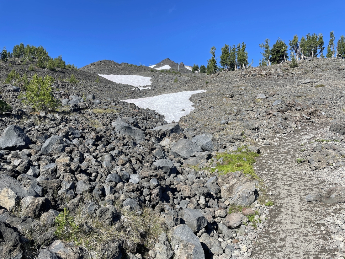
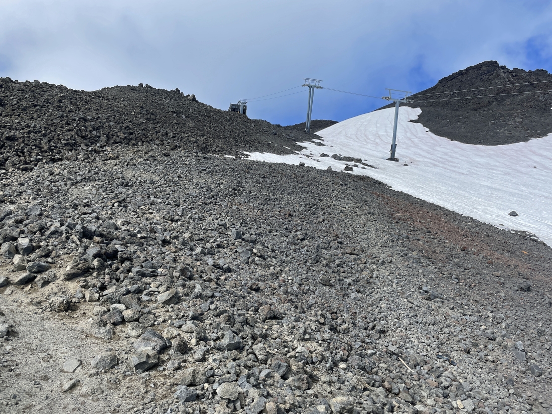
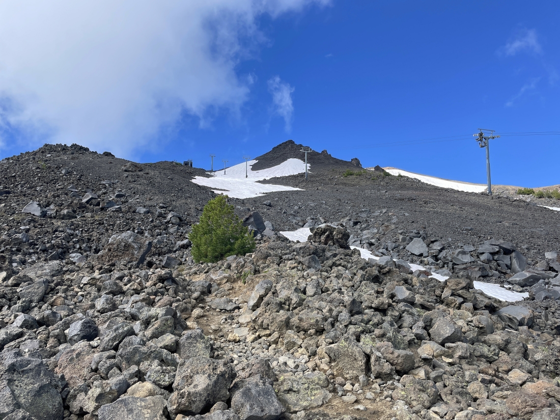
Continuing to gain elevation on the Summit East Trail... now I can see the top of the Summit Express Chairlift... but I still have some elevation to deal with in order to get up there.
|
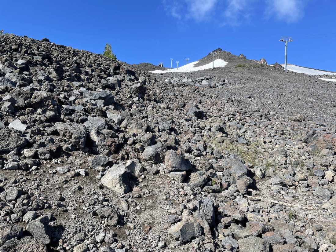
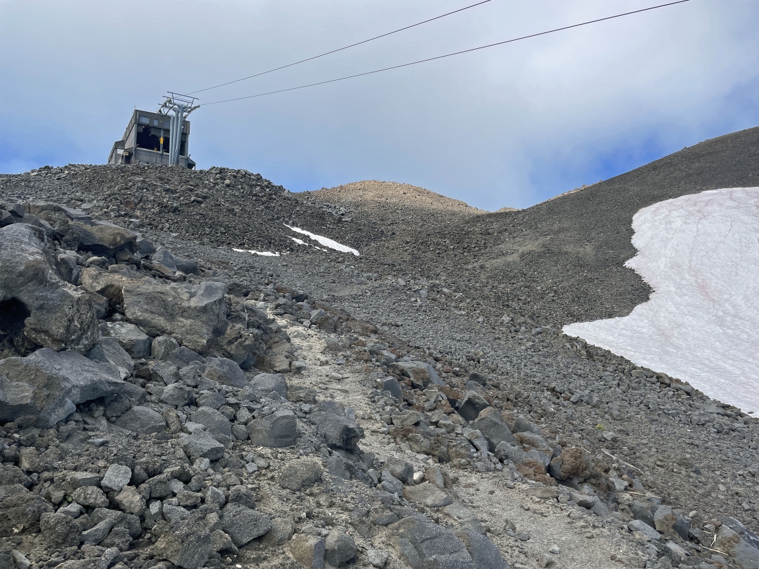
Getting closer to the top of the Summit Express Chairlift.
|
Getting ready to cross under the Summit Express Chairlift and head over to the Mount Bachelor summit which is barely visible on the horizon in the middle of the photo.
|
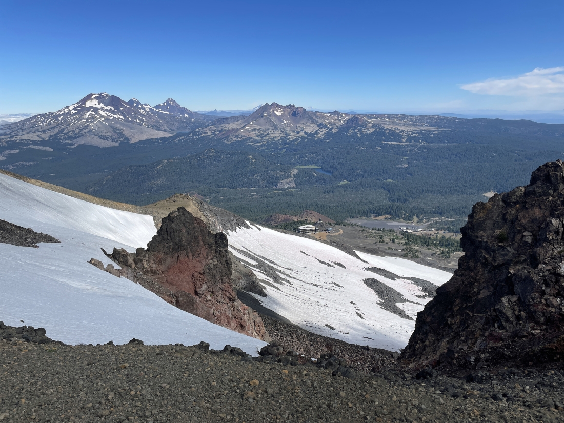
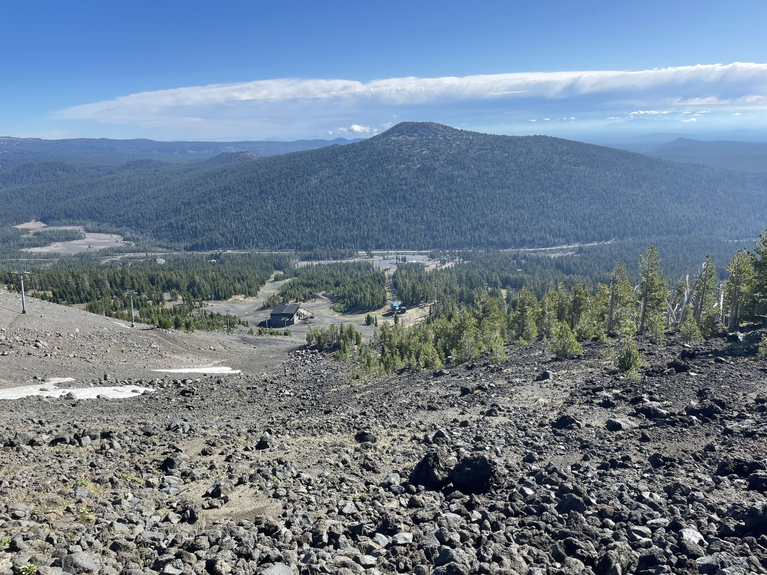
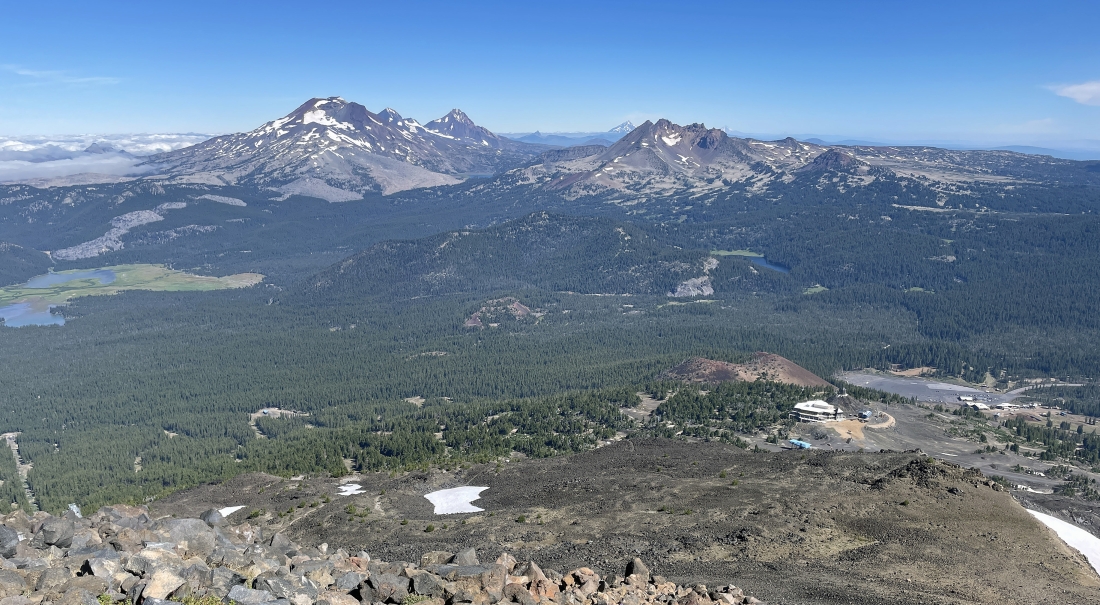
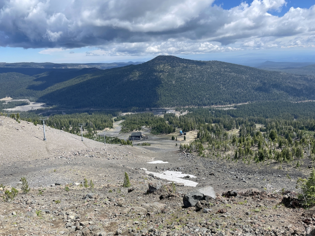
Working my way over to the Bachelor summit I got this view looking down to the Pine Marten Lodge located at 7,700 feet... and further down the mountain to the West Village parking lot located at 6,300 feet... with the Three Sisters and Broken Top on the horizon.
|
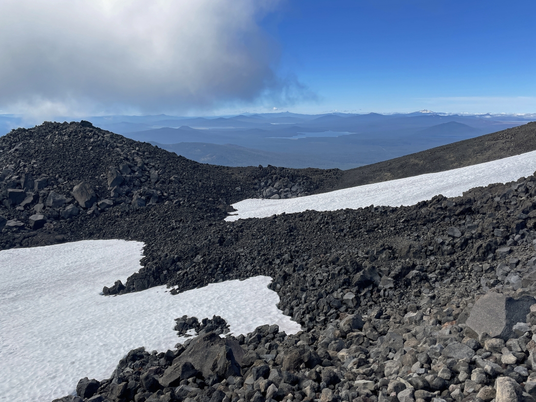
Getting closer to the Bachelor summit... here looking south to the Crane Prairie Reservoir in the middle of the photo... and the Wickiup Reservioir to the left of Crance Prairie.
|
I have reached the Bachelor summit area... here looking NW to Sparks Lake on the far right... looking west to Hosmer Lake and Elk Lake in the center of the photo... looking SW to Lava Lake and Little Lava Lake in the left-center of the photo... with the two reservoirs and Waldo Lake on the far left.
|
Looking NW to Sparks Lake on the left... and north to the Three Sisters and Broken Top.
|
|
After gaining 2,600 feet of elevation in 2.9 miles I have reached the 9,065 foot summit of Mount Bachelor... looking north to the Three Sisters and Broken Top in the left-center of the photo... and looking NE to Tumalo Mountain in the right foreground.
|
A closer look at the Three Sisters... left-to-right... South Sister, Middle Sister and North Sister... with Broken Top in the right-center of the photo.
|
Leaving the Bachelor summit and heading back over to the top of the Summit Express Chairlift.
|
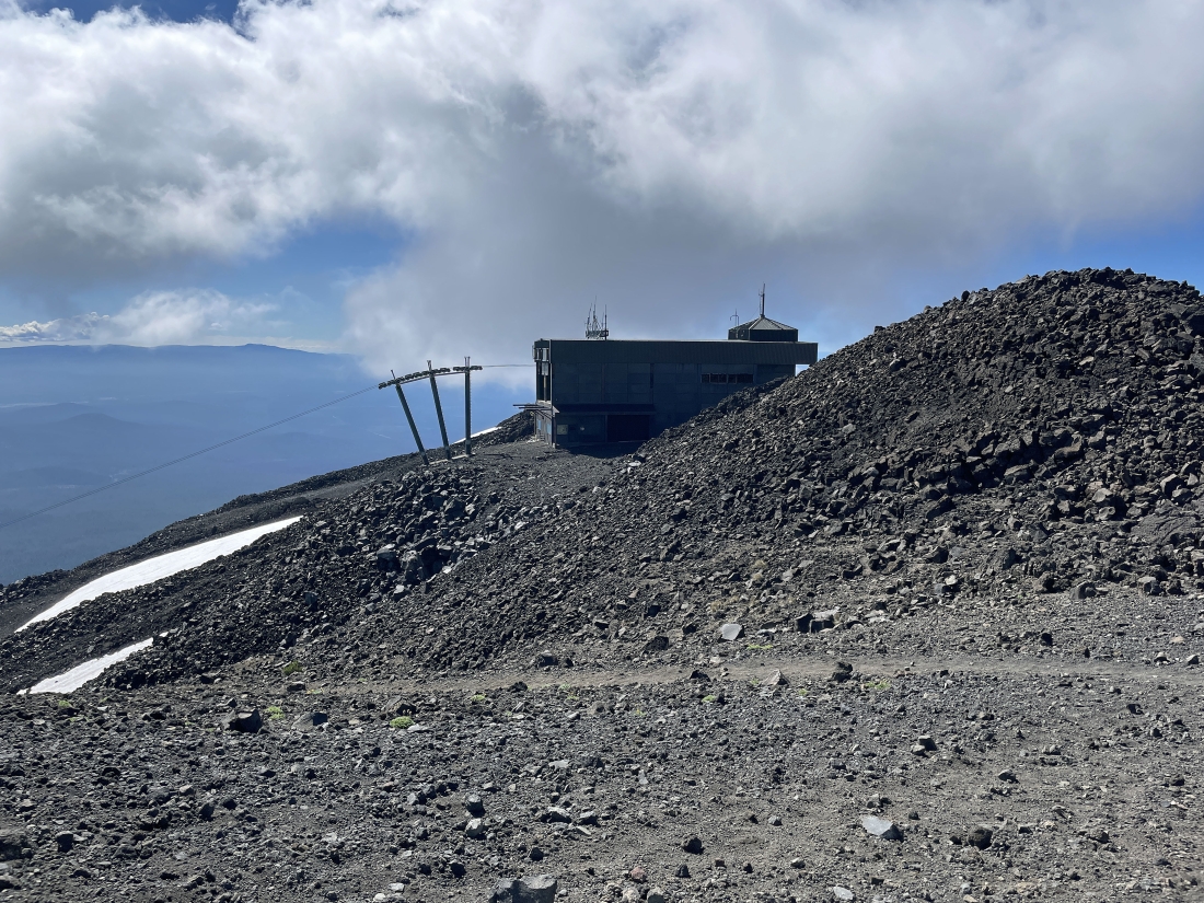
Back at the 8,860 foot top of the Summit Express Chairlift as I trace my steps back down to the car.
|
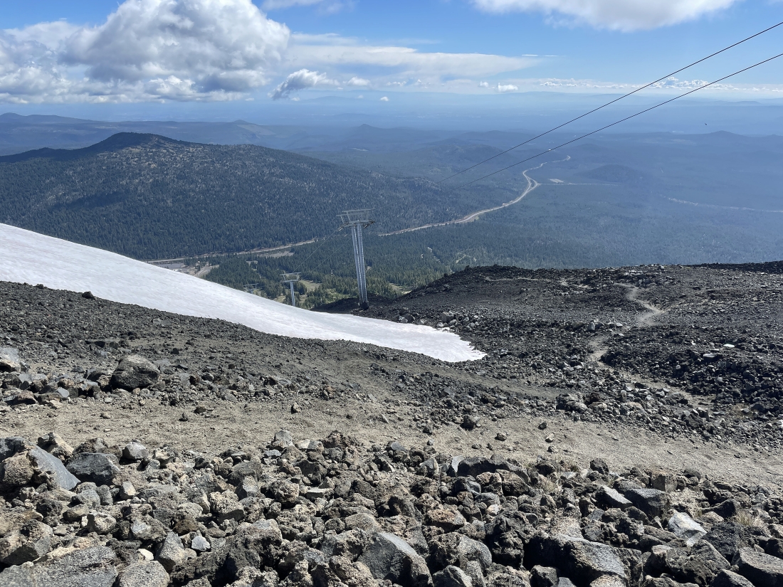
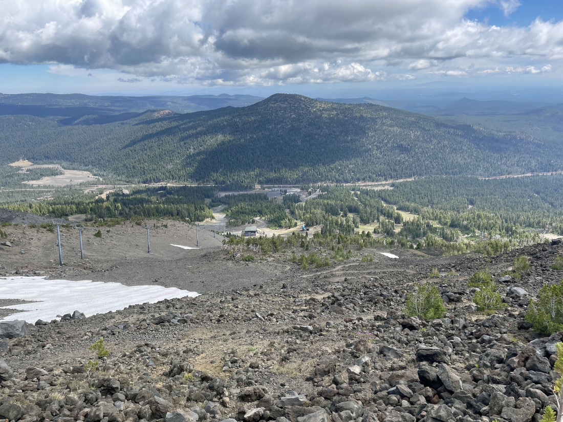
Heading back down the Summit East Trail... with Tumalo Mountain on the far left... and the Cascade Lakes Highway heading out to Bend, Oregon.
|
Tracing my steps back down the Summit East Trail.
|
Tracing my steps back down the Summit East Trail.
|
Tracing my steps back down the Summit East Trail... as I watch two guys working on the Summit Express Chairlift.
|
Continuing to trace my steps down the Summit East Trail... here looking back up at the top of the Summit Express Chairlift.
|
Tracing my steps back down the Summit East Trail... getting closer to the bottom of the Summit Express Chairlift and the top of the Sunrise Express Chairlift.
|
Looking back up at the top of the Summit Express Chairlift.
|
Tracing my steps back down the Summit East Trail.
|
Back where the top of the Sunrise Express Chairlift meets the bottom of the Summit Express Chairlift... leaving the Summit East Trail and rejoining the Fly Creek Trail.
|
Leaving the Fly Creek Trail and getting ready to take the Service Road back down toward the Sunrise Lodge.
|
Crossing the Sunrise Lodge parking lot and a stone's throw from my car... the total hike was 5.8 miles, gaining 2,655 feet of elevation.
|
