Black Butte - 9.25.2025
We drove 4.9 miles north of the town of Sisters Oregon on US Hwy 20 and turned right onto NFD Road 11... then drove 3.6 miles on NFD Road 11 and turned left onto NFD Road 1110... then drove NFD Road 1110 for 5 miles to reach the Black Butte Upper Trailhead... at an elevation of 4,875 feet.
|
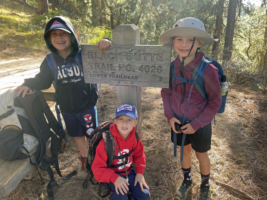
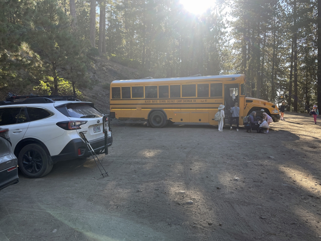
A school bus from the Black Butte School District had arrived at the upper trailhead just before us... and 3 of the students posed at the trailhead sign for the Black Butte Trail #4026... from here it is 2 miles up to the top of Black Butte... and it would be 3 miles if you wanted to go down to where the lower trailhead began... but we are heading up.
|
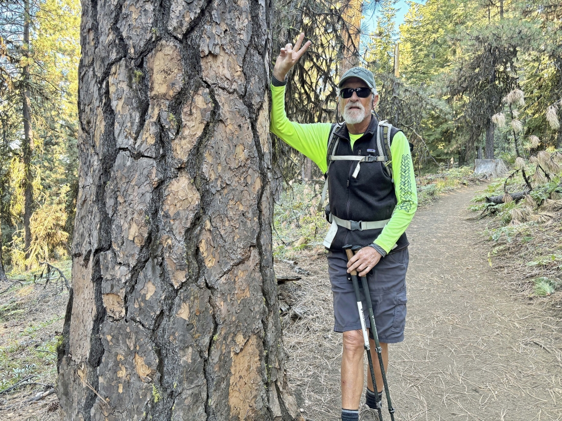
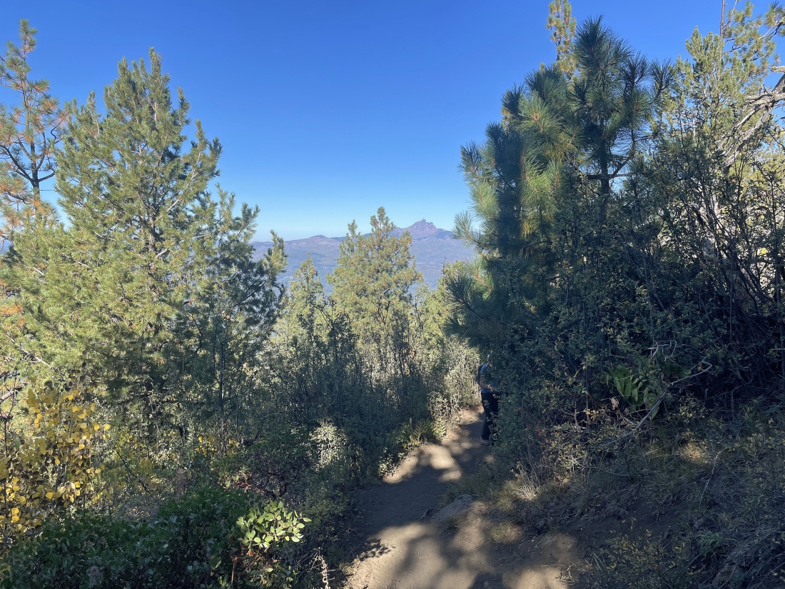
Lots of Ponderosa Pine trees along the first mile of the hike.
|
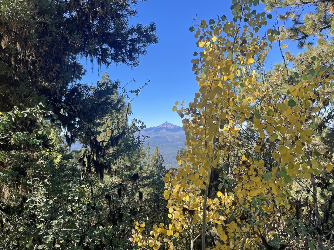
Gaining elevation on Black Butte Upper Trail... here looking past a 'Quaking Aspen Pine Tree' to Mount Washington on the horizon.
|
Continuing to gain elevation of the west side of Black Butte... here looking back to the NW at Three Fingered Jack on the horizon.
|
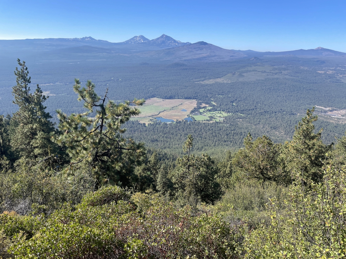
Still gaining elevation... here looking down on part of the Black Butte Ranch... with the 'Black Crater' on the horizon in the foreground... then to the left of the Black Crater is North Sister and South Sister... with Broken Top on the horizon further to the left... and the Belknap Crater is the little bump on the extreme far right horizon.
|
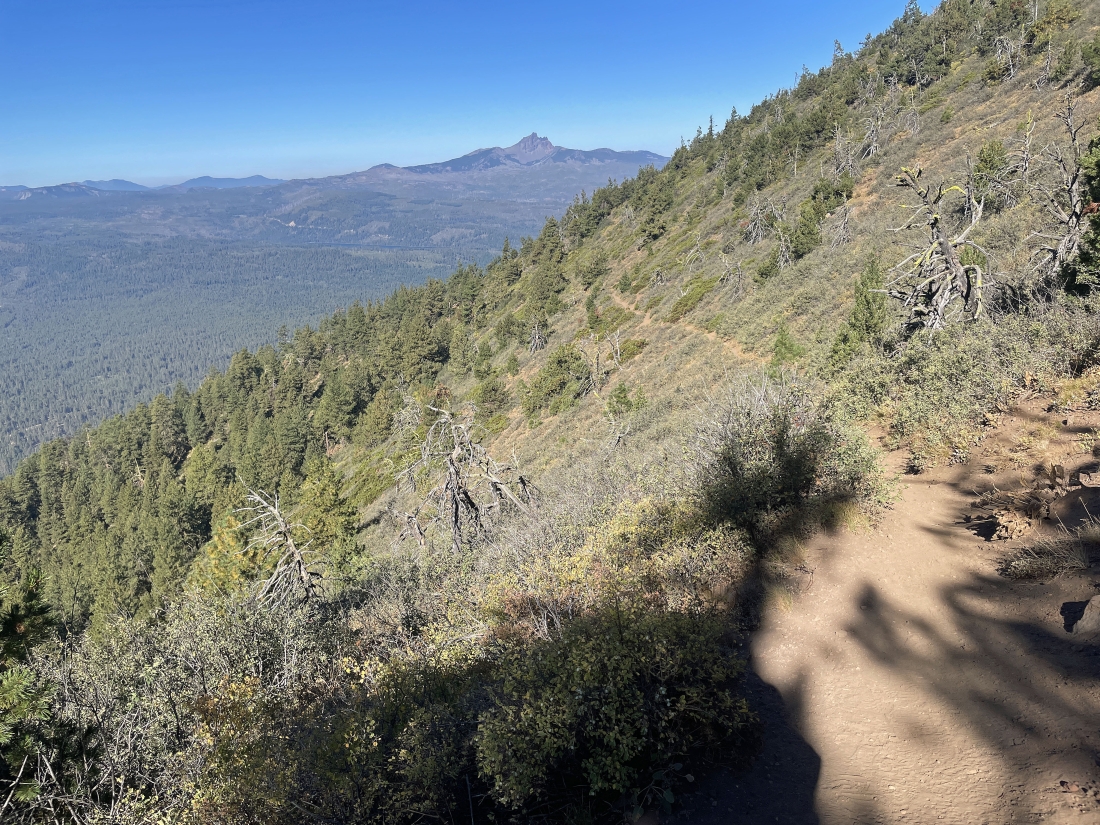
Still gaining elevation on the trail... here looking back to the NW at Three Fingered Jack on the horizon.
|
We have worked our way around the west side of Black Butte... now on the east side of Black Butte... here looking north at Mount Jefferson on the horizon... and we can see the fire tower up on the summit of Black Butte.
|
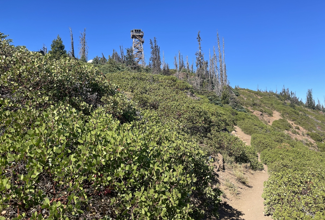
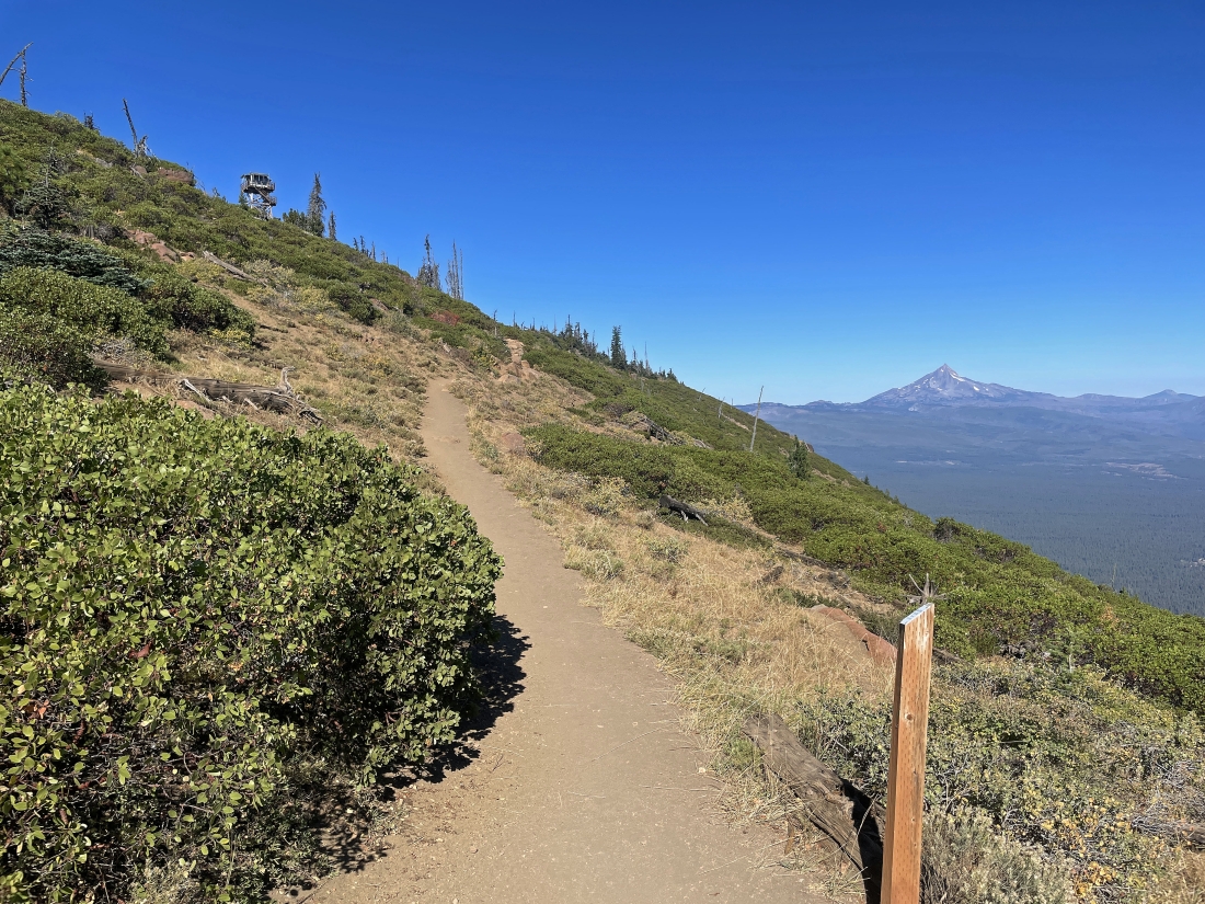
Getting closer to the summit of Black Butte... and the 65 foot fire tower keeps getting larger.
|
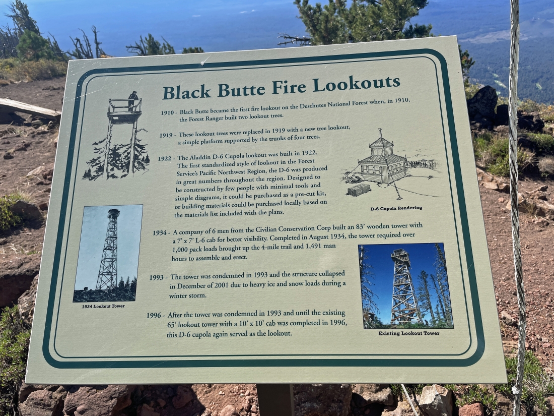
After hiking a total of 2 miles and gaining 1,550 feet of elevation we have reached the summit of Black Butte at 6,436 feet of elevation... and there is a very nice sign describing it.
|
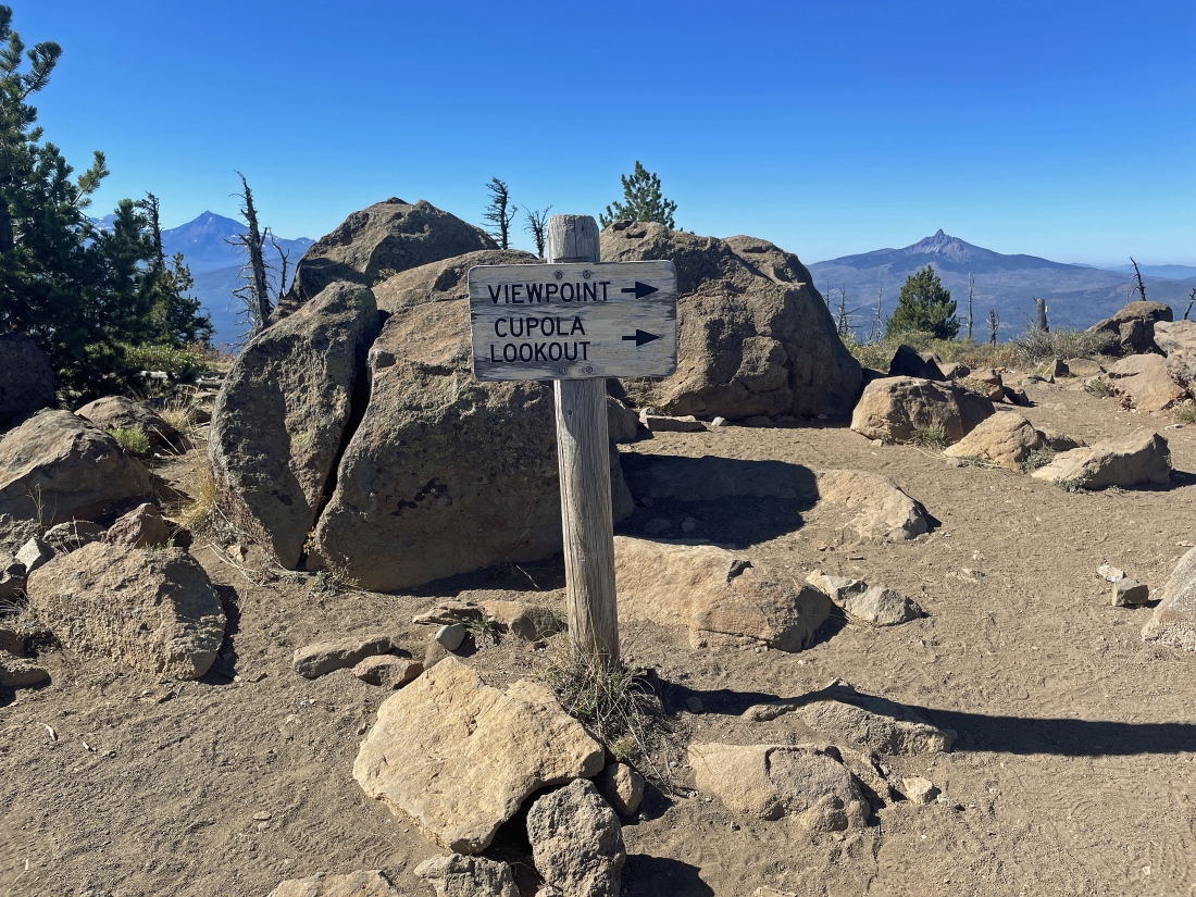
This sign is at the summit area and we are going over to the 'Cupola Lookout'. North Sister is on the the far left horizon... with Mount Washington on the right horizon.
|
A pano taken near the sign in the previous photo... showing the fire tower over on the left... but we are heading in the opposite direction over to the Cupola Lookout
|
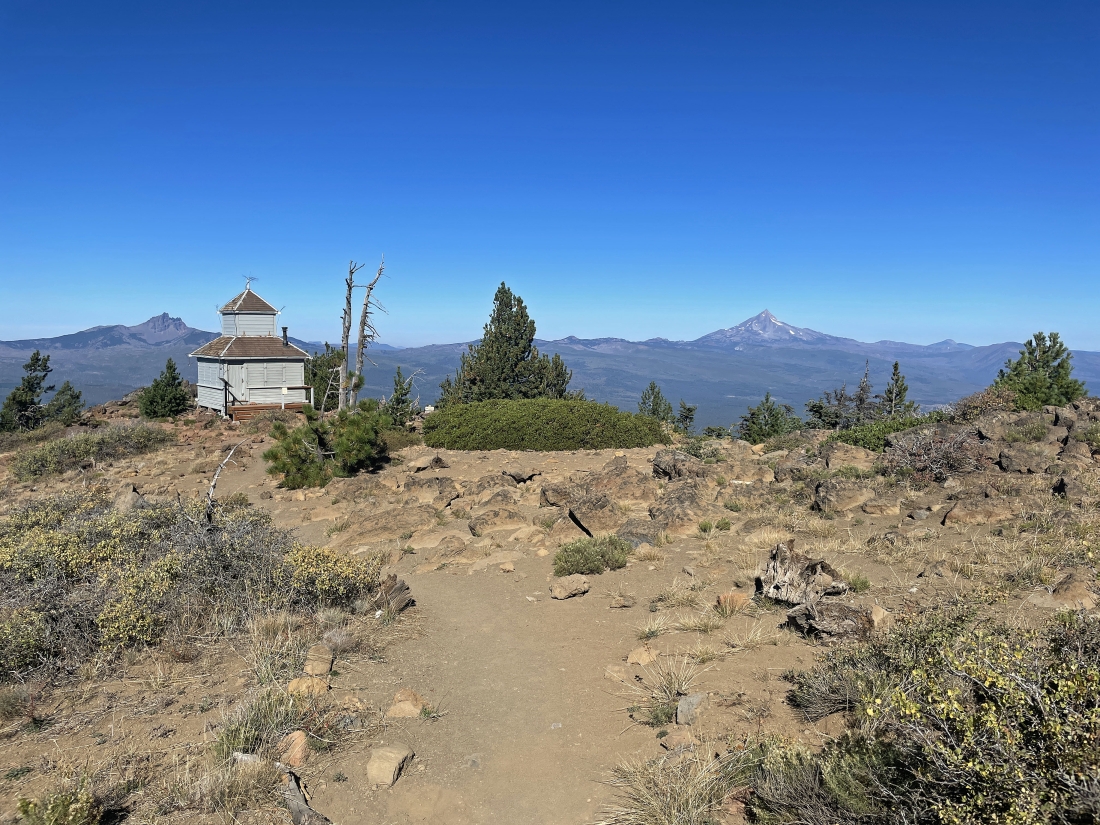
Heading for the Cupola Lookout... with Three Fingered Jack on the far left horizon... and Mount Jefferson (the second highest mountain in Oregon) on the right horizon.
|
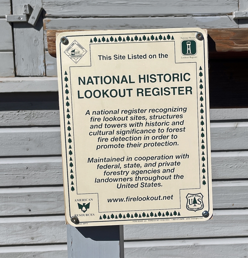
An information sign at the Cupola Lookout.
|
A pano shot taken near the Cupola Lookout... with Broken Top, South Sister and North Sister on the far left horizon... Mount Washington on the middle horizon... and Three Fingered Jack on the far right horizon.
|
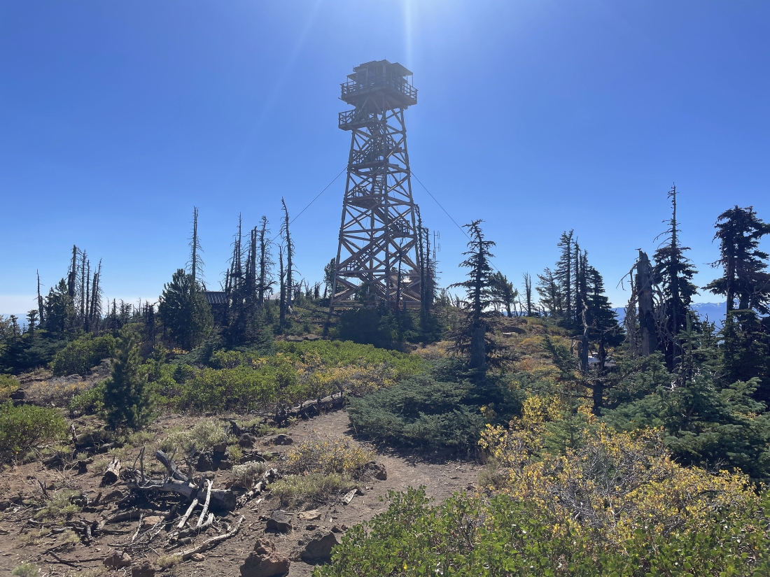
We left the Cupola Lookout and headed over for a closer look at the fire tower.
|
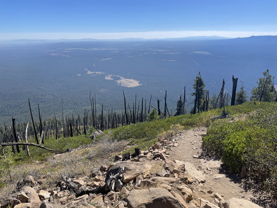
Tracing our steps back down from the summit area of Black Butte... here looking south toward the town of Sisters, Oregon.
|
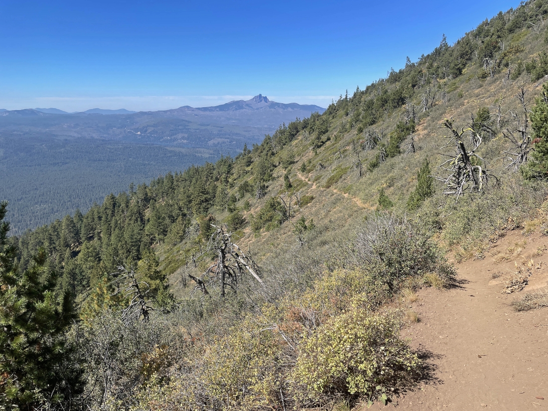
Every step on the way back to the car is basically down. Three Fingered Jack is on the horizon.
|
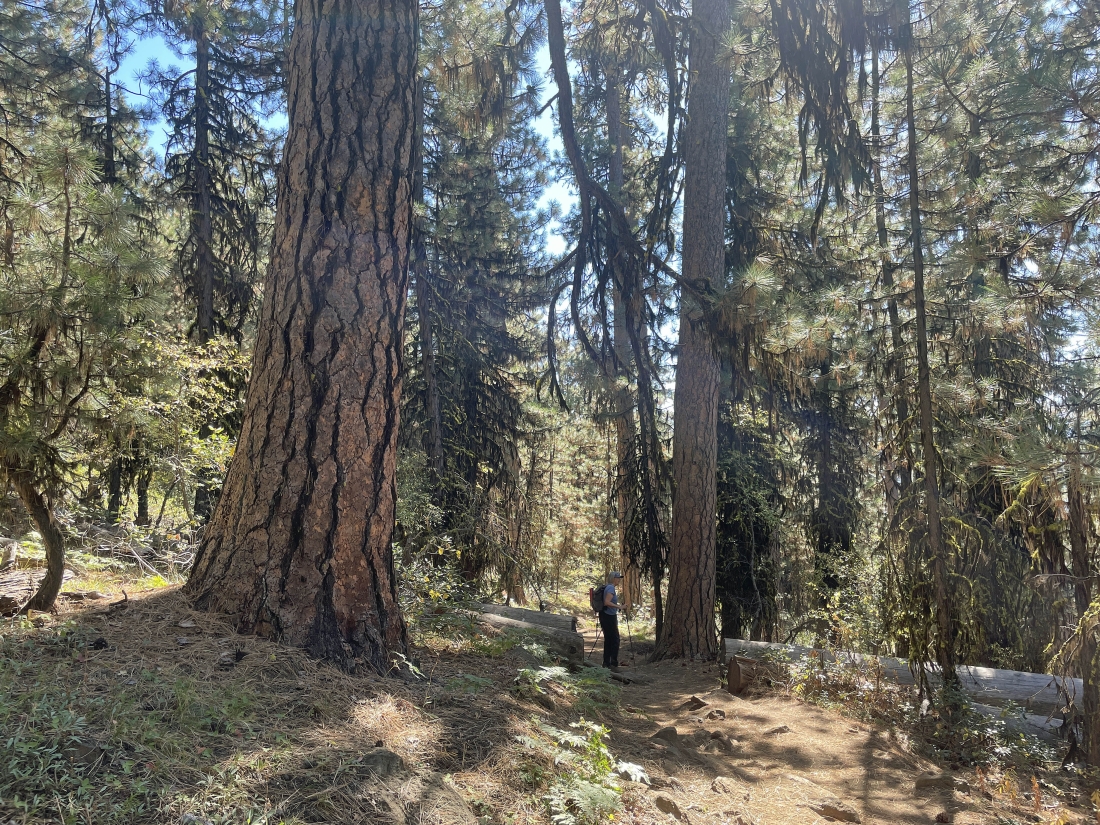
Back in the trees with Denali Girl being swallowed by Ponderosa Pine trees.
|
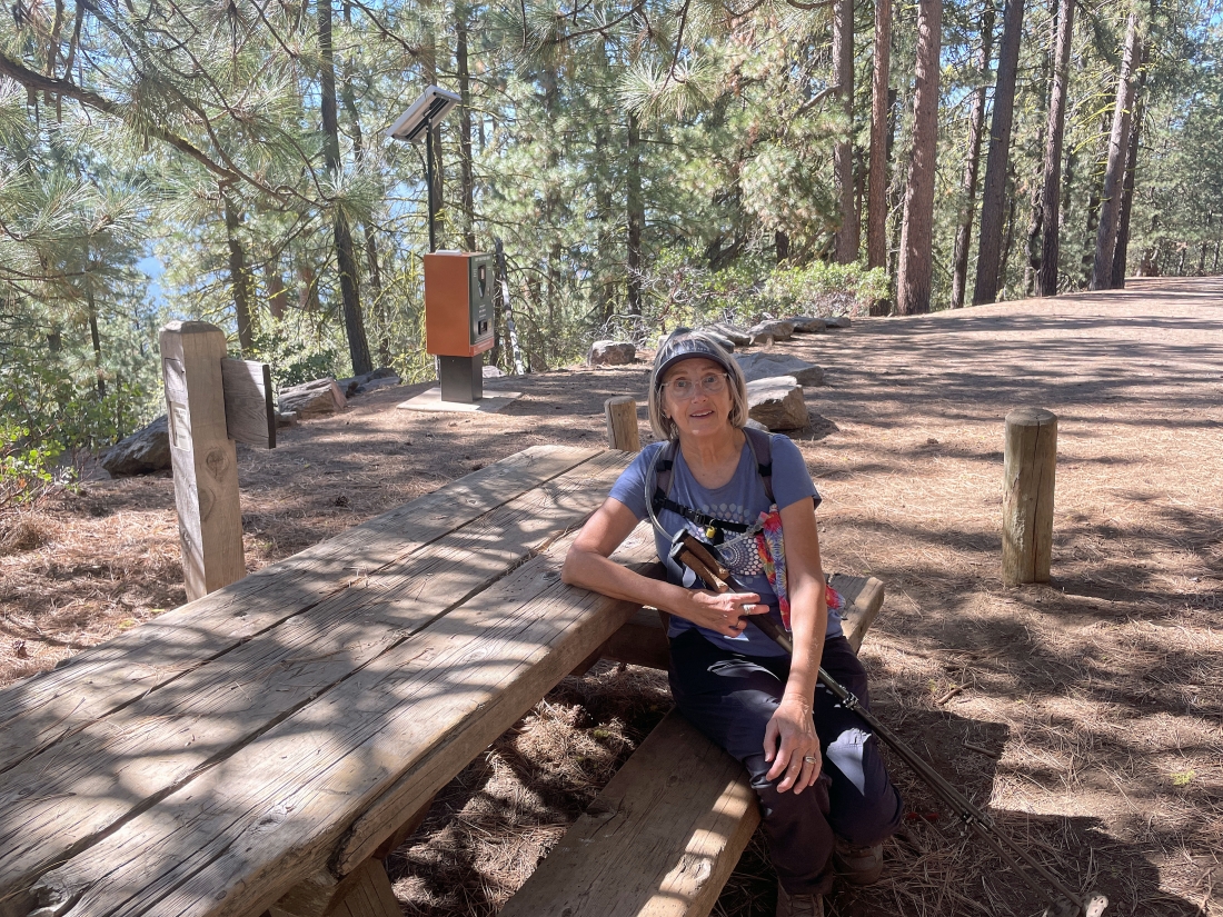
After hiking a total of 4.4 miles and gaining1,583 feet of elevation we have returned to the parking lot.
|
