Fairyland Loop - 10.24.2025
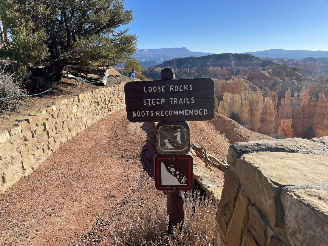
We parked at the 7,777 foot elevation of Fairyland Point in Bryce Canyon National Park and started hiking clockwise on the Fairyland Loop Trail... dropping down quickly from the park's Rim Trail.
|
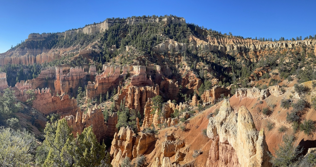
Losing elevation on the loop trail... the loop trail will circumnavigate the 'Boat Mesa' which we are looking at above... we are currently on the north side of Boat Mesa.
|
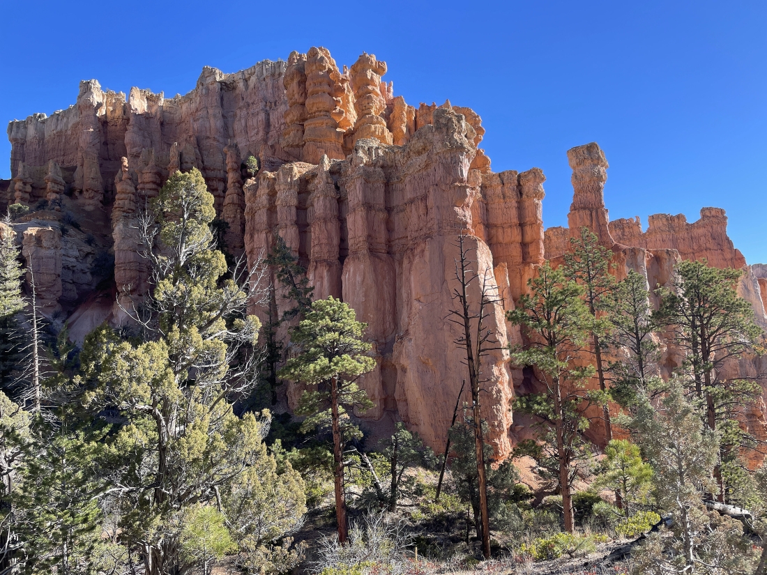
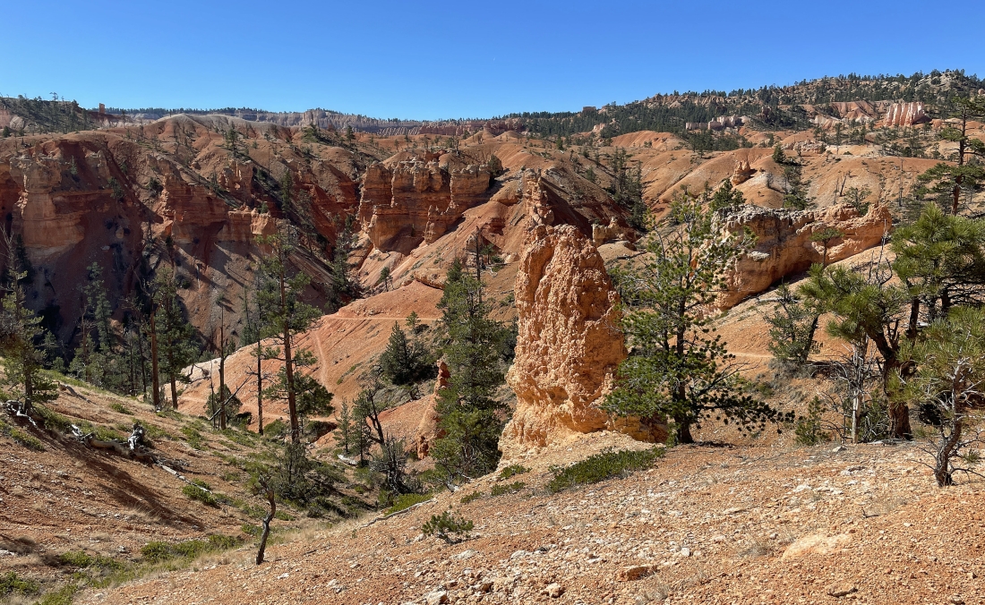
Continuing to lose elevation and looking up at the Boat Mesa... with lots of hoodoos visible.
|
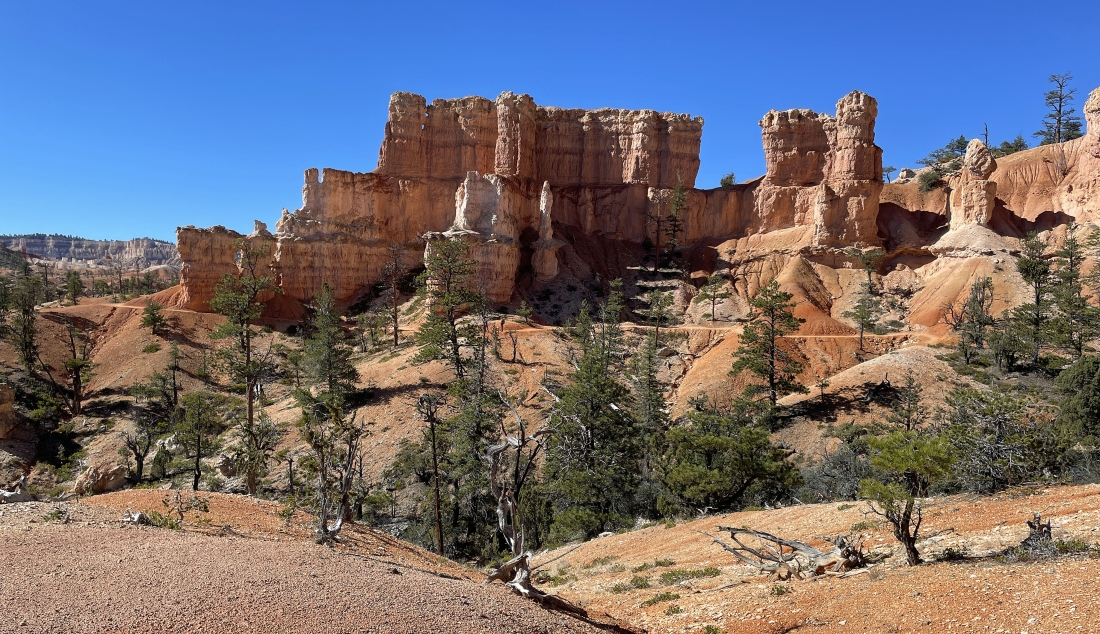
More hoodoos visible along the Fairyland Loop Trail.
|
More hoodoos visible along the Fairyland Loop Trail.
|
|
More hoodoos visible along the Fairyland Loop Trail.
|
More hoodoos visible along the Fairyland Loop Trail.
|
More hoodoos visible along the Fairyland Loop Trail.
|
A broader view than in the previous photo.
|
More hoodoos visible along the Fairyland Loop Trail.
|
|
Now on the south side of Boat Mesa on the far left... with tons of hoodoos and beautiful rock visible.
|
Boat Mesa above on the right... with a lot of the Bryce Canyon rim stretching across the top of the photo.
|
Denali Girl is enjoying a look at Boat Mesa.
|
More hoodoos visible along the Fairyland Loop Trail.
|
More hoodoos visible along the Fairyland Loop Trail... and we are going to lose some more elevation.
|
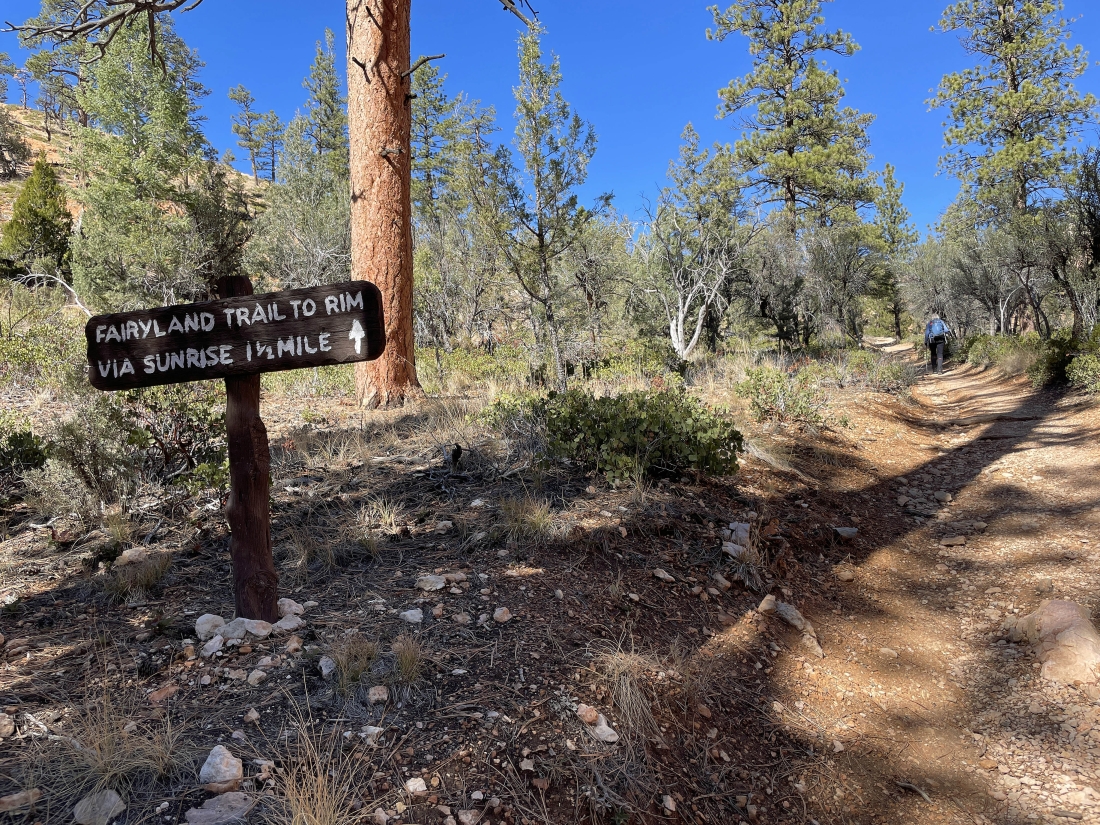
After hiking the loop for a total of 4.25 miles it is time to head up for the Rim Trail.
|
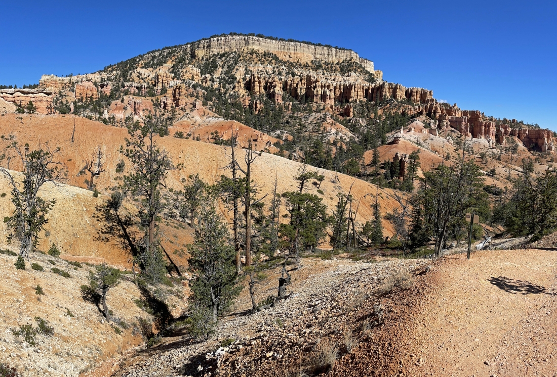
Looking up at Boat Mesa as we head up to the Rim Trail.
|
More hoodoos visible along the Fairyland Loop Trail.
|
More hoodoos visible along the Fairyland Loop Trail.
|
More hoodoos visible along the Fairyland Loop Trail... with the 'Chinese Wall' in the distance.
|
|
Continuing to gain elevation on the loop trail as we head up to the Rim Trail.
|
Continuing to gain elevation on the loop trail... here looking out to the Boat Mesa in the right-center of the photo... with the park rim on the left.
|
After hiking a total of 5.2 miles we have returned to the Rim Trail at an elevation of 7,980 feet. Leaving us with a 2.5 mile hike north on the Rim Trail to get back to our car. The Fairyland Loop includes this 2.5 mile section of the Rim Trail.
|
Continuing to hike north on the Rim Trail... enjoying the view of a bazillion hoodoos.
|
Almost back to our car over there on the far left... back to the north side of Boat Mesa on the far right... the total hike was 8.25 miles, gaining 1,632 feet of elevation.
|
