Lela Benchmark, Point 4629 and Point 4632 - 11.19.2025
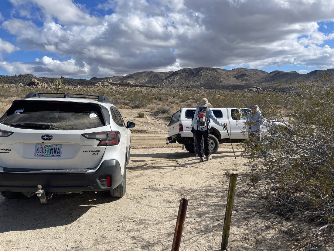
From Park Blvd in Joshua Tree National Park we drove south on Geology Tour Road for 4.7 miles and parked on the side of the road at an elevation of 3,840 feet... on the horizon we can see the NW section of the Hexie Mountains... and that is where Lela Benchmark is located.
|
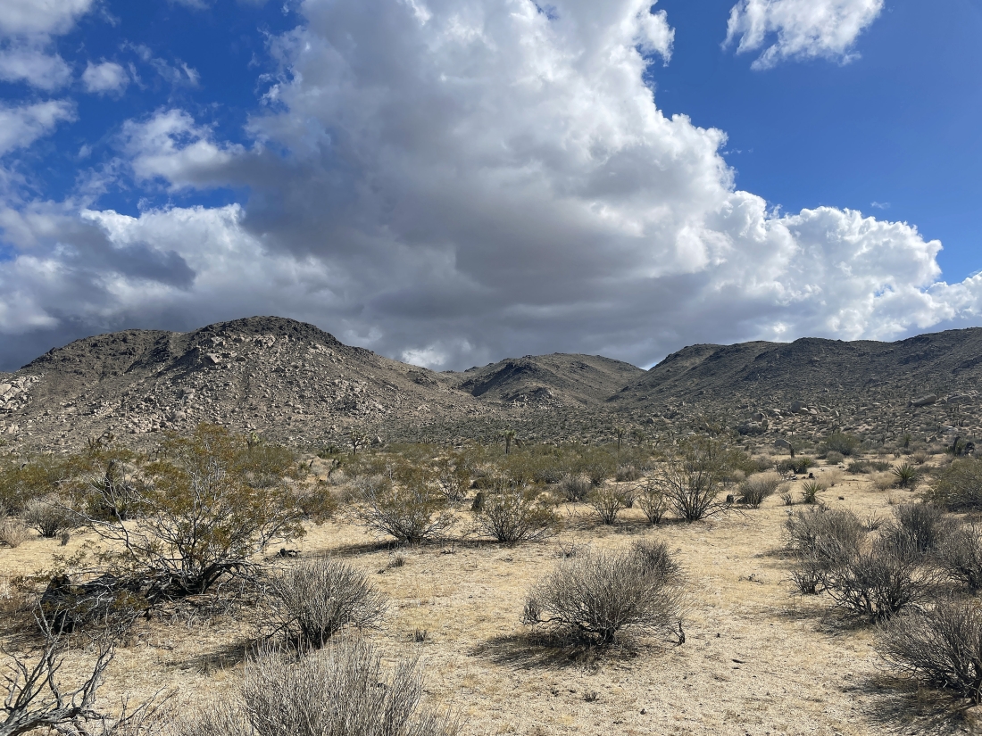
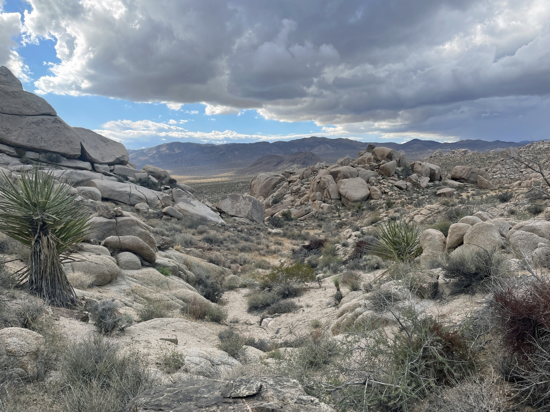
Getting closer to the NW section of the Hexie Mountains... and I'm going to go up the gully in the left-center of the photo.
|
Heading up the gully that was in the previous photo.
|
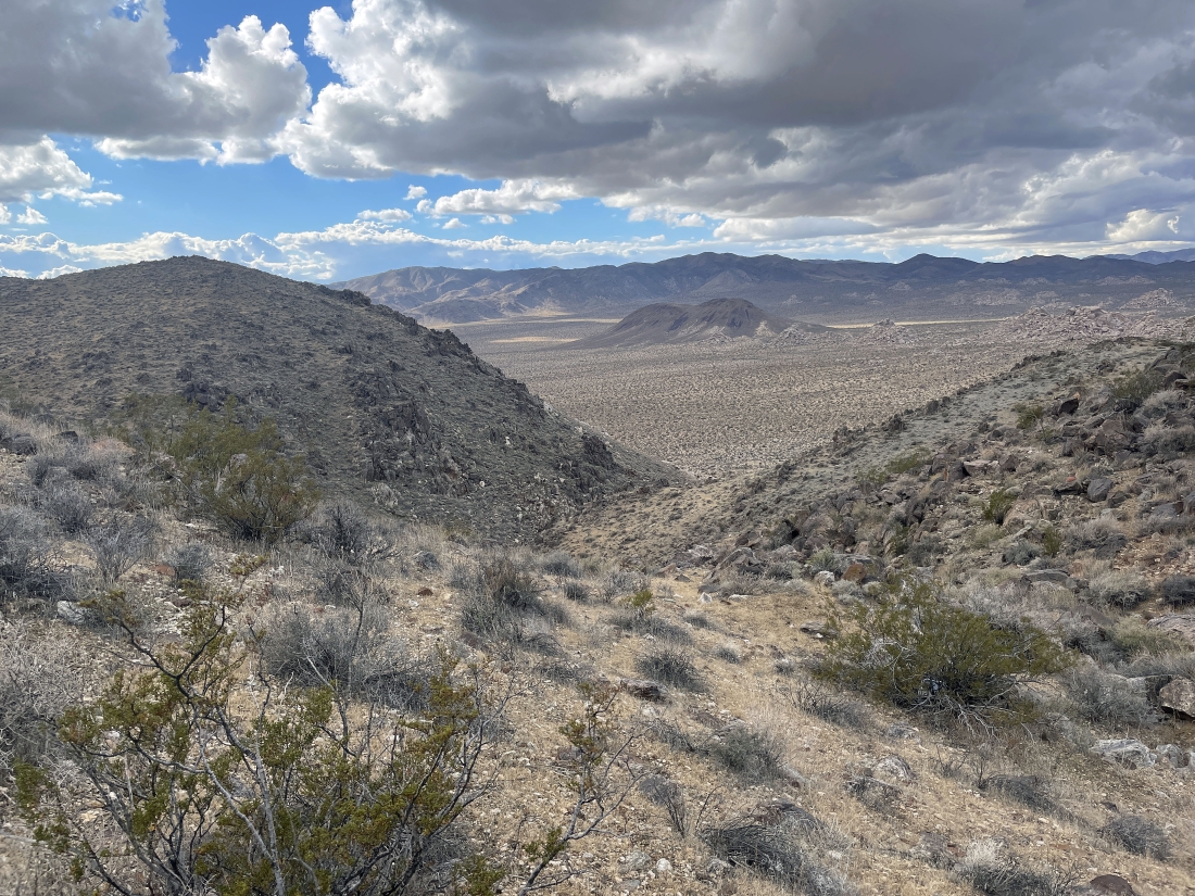
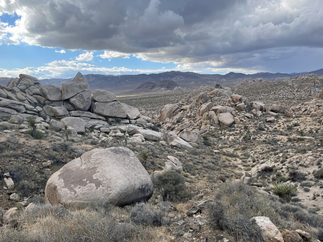
Still gaining elevation in the gully... here looking back down the gully into the southern section of Queen Valley... with Malapai Hill in the sunshine... Lost Horse Mountain is in the shade on the horizon behind Malapai Hill... with Ryan Mountain on the far right horizon.
|
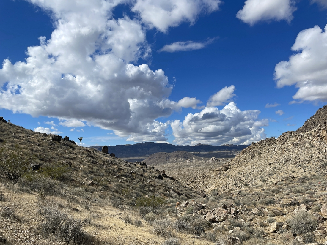
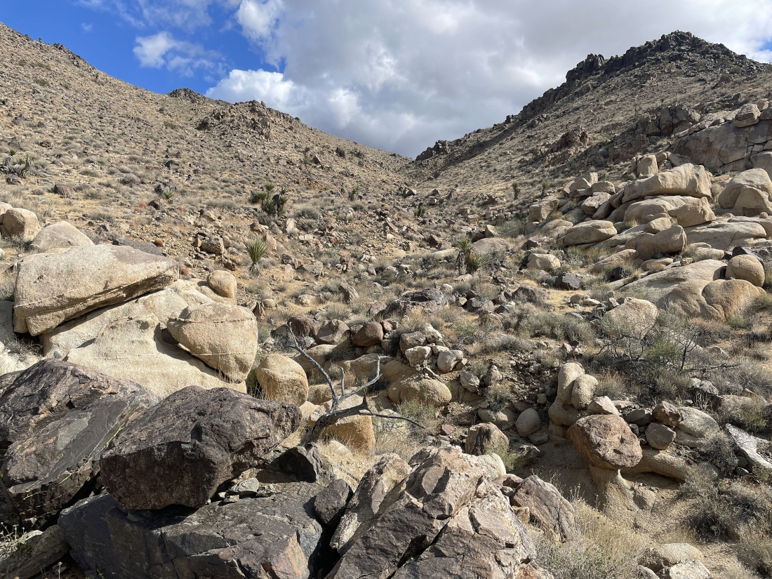
As I gain elevation in the gully, the gully narrows as I get higher... here looking back down the gully into the southern section of Queen Valley... with Malapai Hill in the sunshine and Lost Horse Mountain in the shade.
|
|
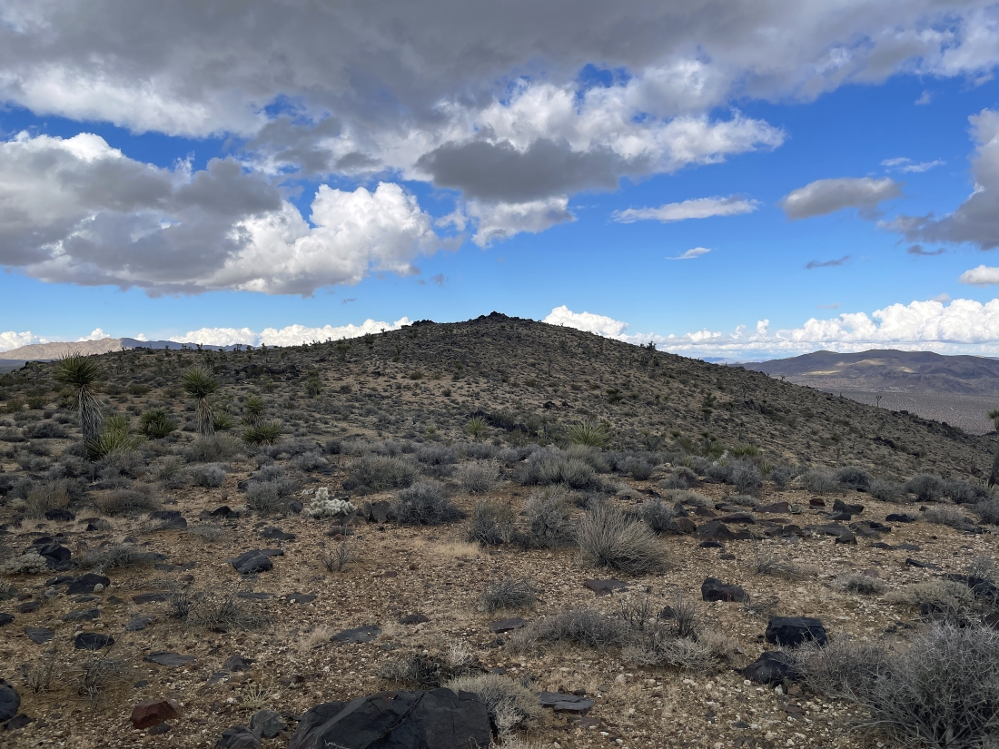
After hiking a total of 1.75 miles and reaching an elevation of 4,360 feet I have come up out of the gully and found what I think of as a very large plateau... with Point 4629 in the right foreground... with Lela Benchmark to the left of Point 4629.
|
This is not a very good photo... but looking south it does show the very large Pleasant Valley stretching across the entire photo... with Bernard Peak the high point on the horizon in the middle of the photo.
|
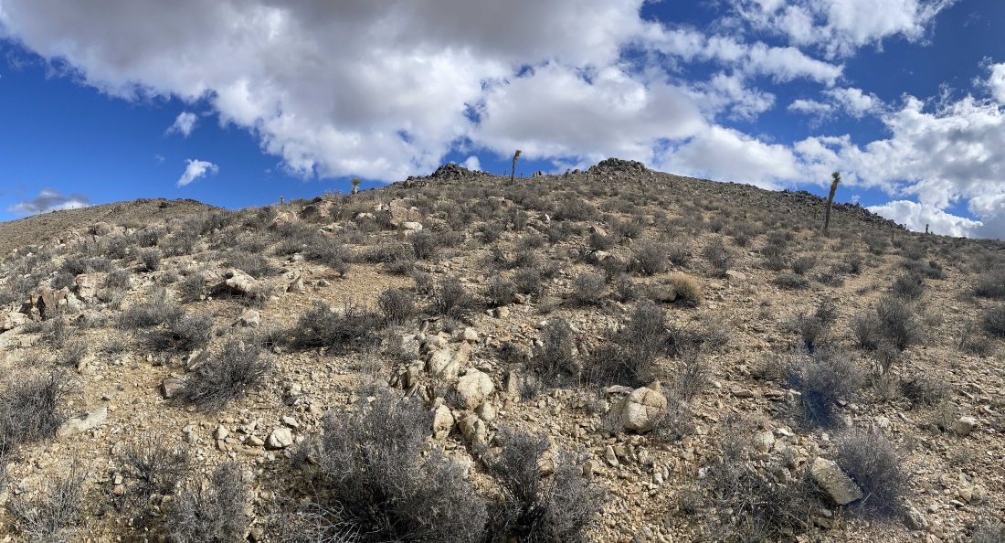
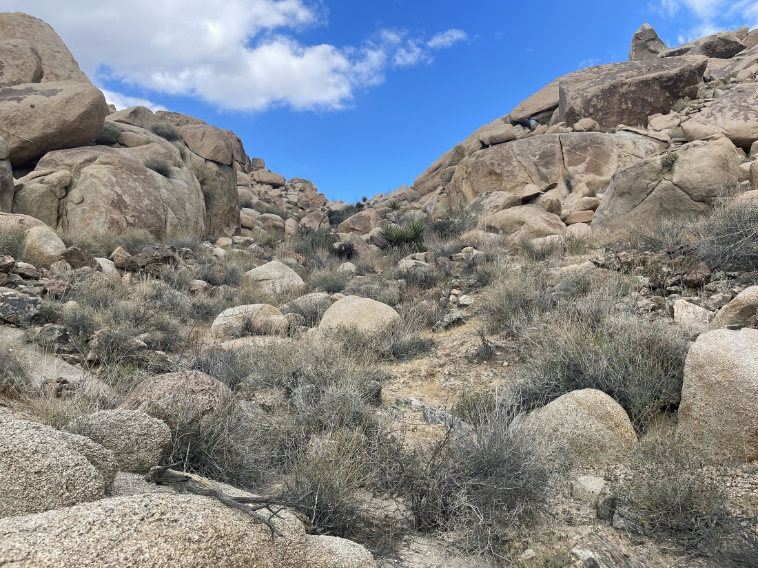
Leaving the plateau and heading up to Point 4629.
|
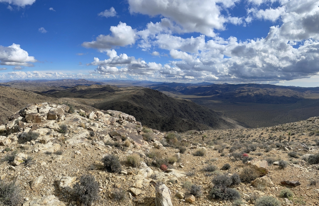
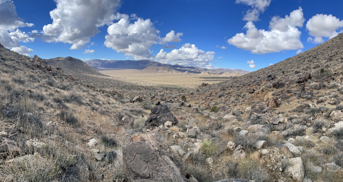
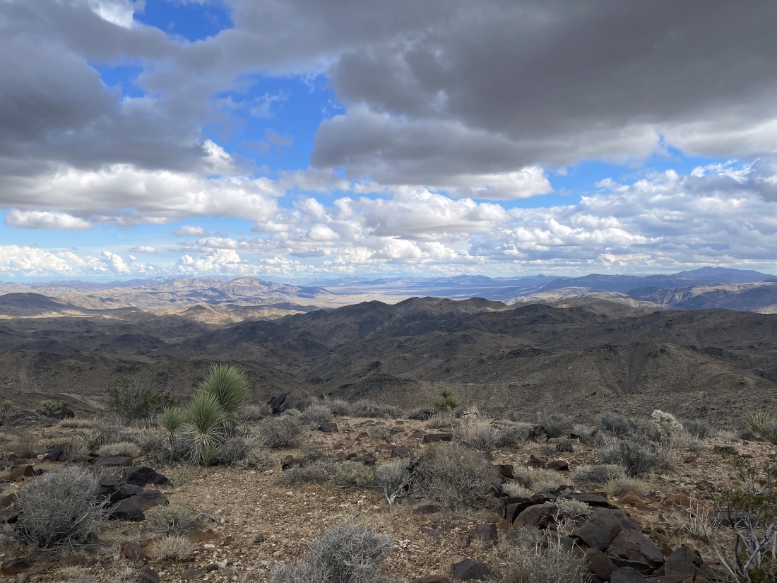
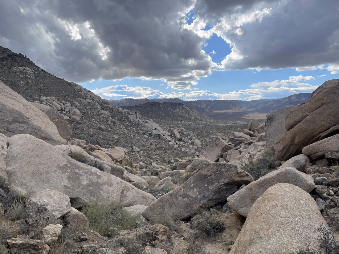
I have reached Point 4629... here looking SE down through the Hexie Mountains to Pinto Basin ( the flat area beyond the Hexie Mountains )... with Pleasant Valley on the right... and the Little San Bernardino Mountains to the right of Pleasant Valley... and the Pinto Mountains are on the far left horizon.
|
Getting ready to leave Point 4629 and head over to Lela Benchmark on the far right... looking across Queen Valley to Lost Horse Mountain and Ryan Mountain in the shade on the horizon... with Queen Mountain in the sunshine in the right-center of the photo.
|
I have left Point 4629 and heading up to Lela Benchmark.
|
On my way up to Lela Benchmark... here looking back at Point 4629... with Bernard Peak on the other side of Pleasant Valley in the middle of the photo.
|
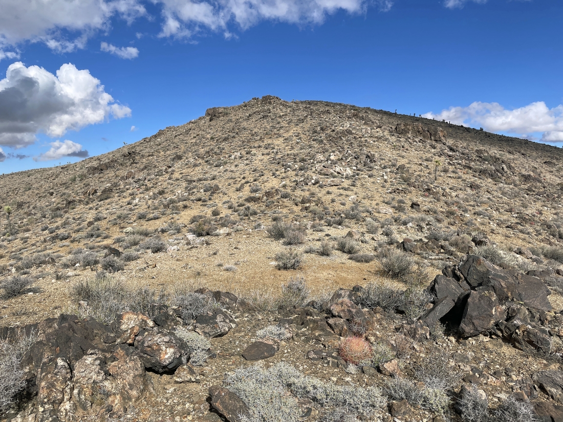
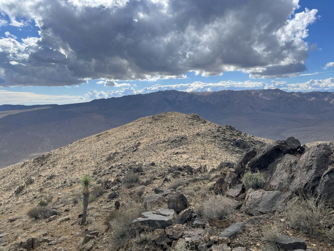
Nearing the summit of Lela Benchmark... with the Pinto Mountains on the horizon on both sides of the Lela Benchmark... and Pinto Basin the flat area in the distance on the right.
|
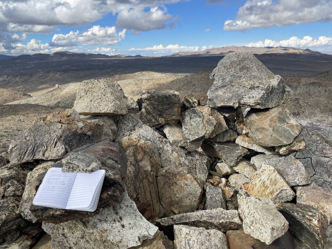
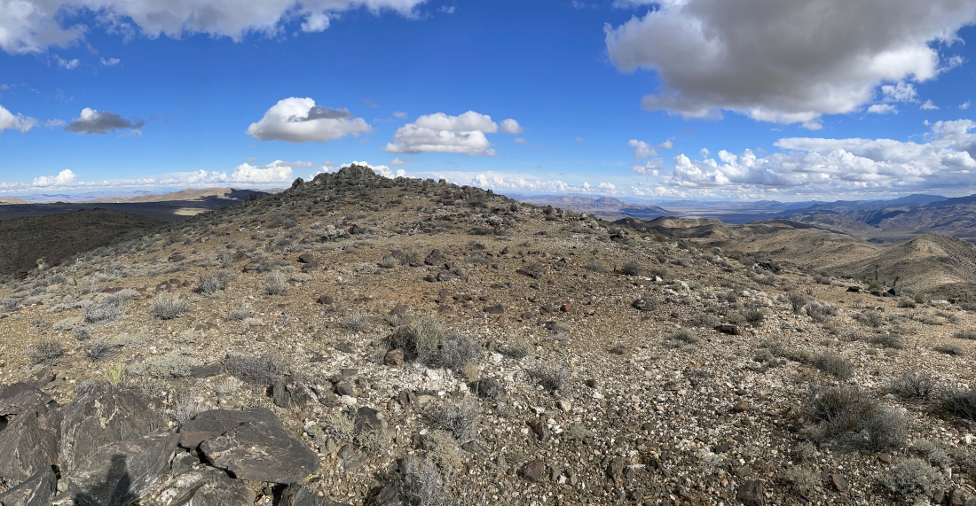
After hiking a total of 2.5 miles I have reached the 4,751 foot summit of Lela Benchmark... here looking NW across Queen Valley to Ryan Mountain in the shade on the left horizon... and north to Queen Mountain in the sunshine on the right horizon... and yes, I did sign the summit register.
|
From Lela Benchmark I'm looking north to Queen Mountain on the far left.. and SE down through the Hexie Mountains to Pinto Basin on the far right.
|
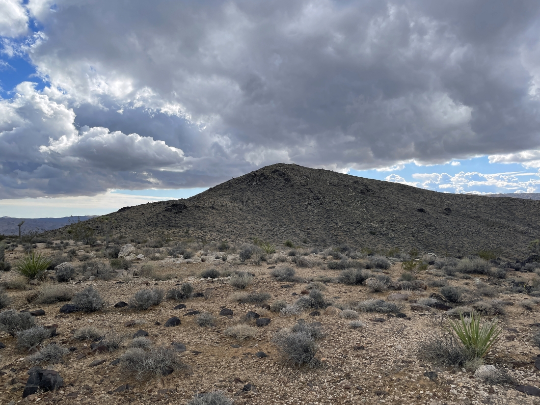
Looking back at Lela Benchmark as I head over to Point 4632.
|
Nearing the summit of Point 4632.
|
After hiking a total of 3 miles I have reached the summit of Point 4632... here looking east across the Hexie Mountains and Wilson Canyon to Pinto Basin.
|
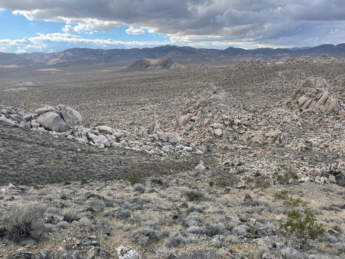
Leaving Point 4632 and heading back down to Queen Valley... with Malapai Hill a nice target to get back to the car.
|
I will have to work my way through some boulders to get back over to Malapai Hill.
|
The boulders were not simple to get through.
|
Working my way through the boulders to get back down to Queen Valley.
|
Working my way through the boulders to get back down to Queen Valley.
|
Looking back as I finish the boulder section of the hike.
|
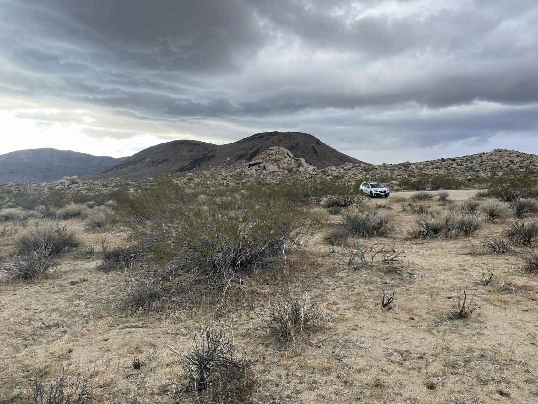
I can see the car... with Malapai Hill behind it... the total hike was 5.8 miles, gaining 1,120 feet of elevation.
|
