Point 3819 at Stirrup Tank - 11.24.2025
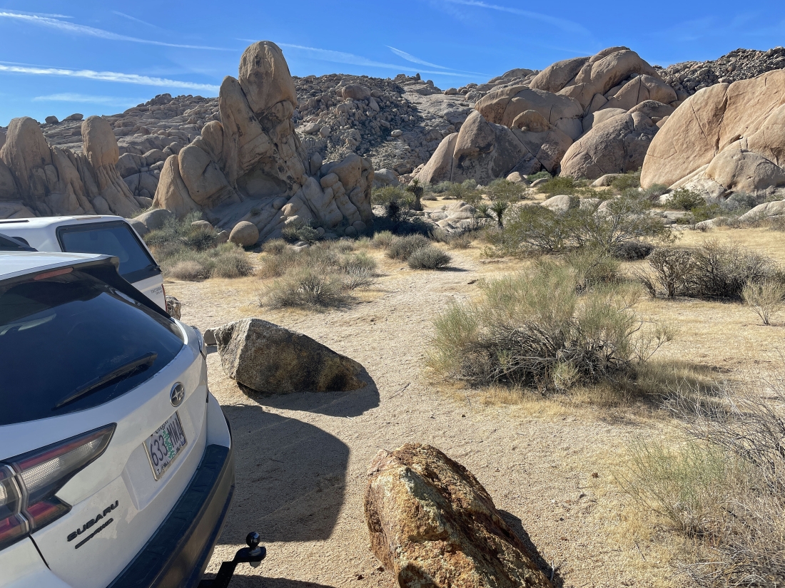
From the intersection of Park Blvd and Pinto Basin Road in Joshua Tree National Park... drive south on Pinto Basin Road for 3.1 miles and turn right onto the dirt Stirrup Tank Road... then drive Stirrup Tank Road for 1.4 miles to the end of the road... we will be hiking up the smooth rock out there in the middle of the photo.
|
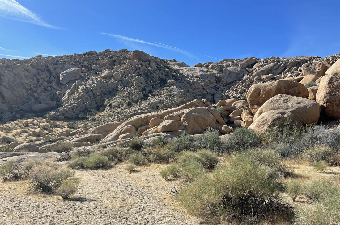
Heading for the smooth rock in the middle of the photo.
|
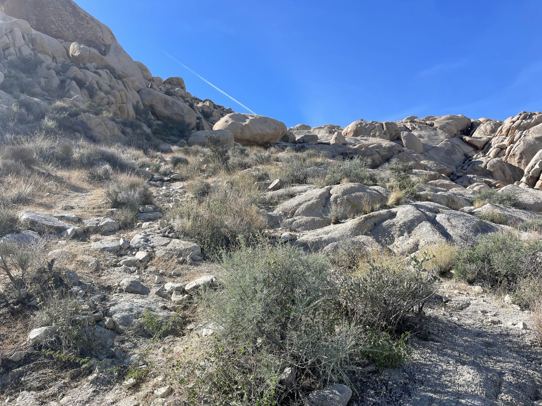
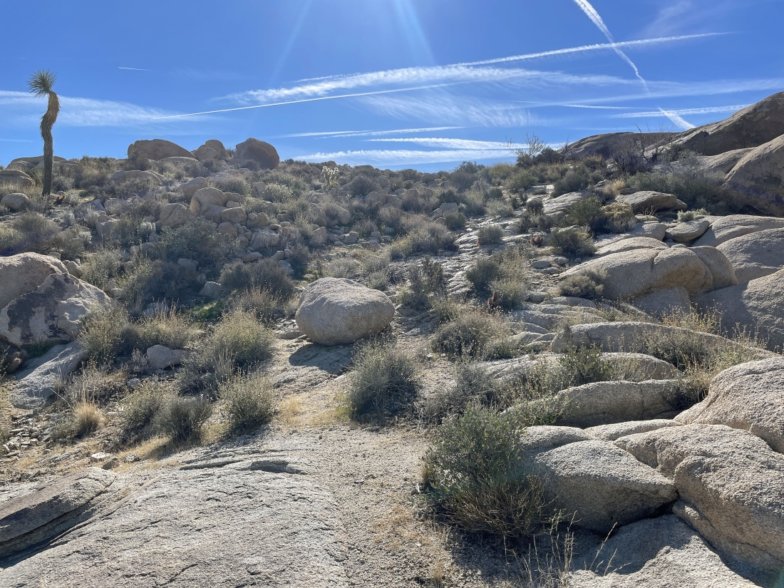
Starting to gain elevation on our way up to the smooth rock.
|
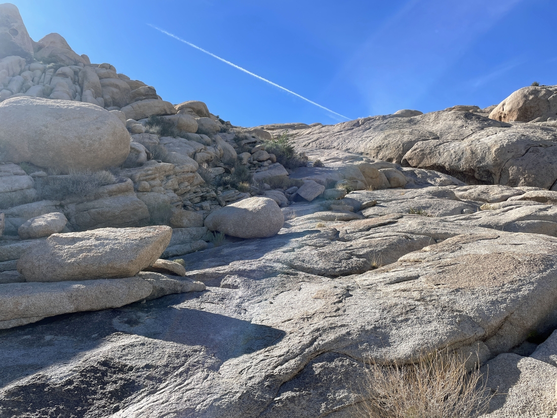
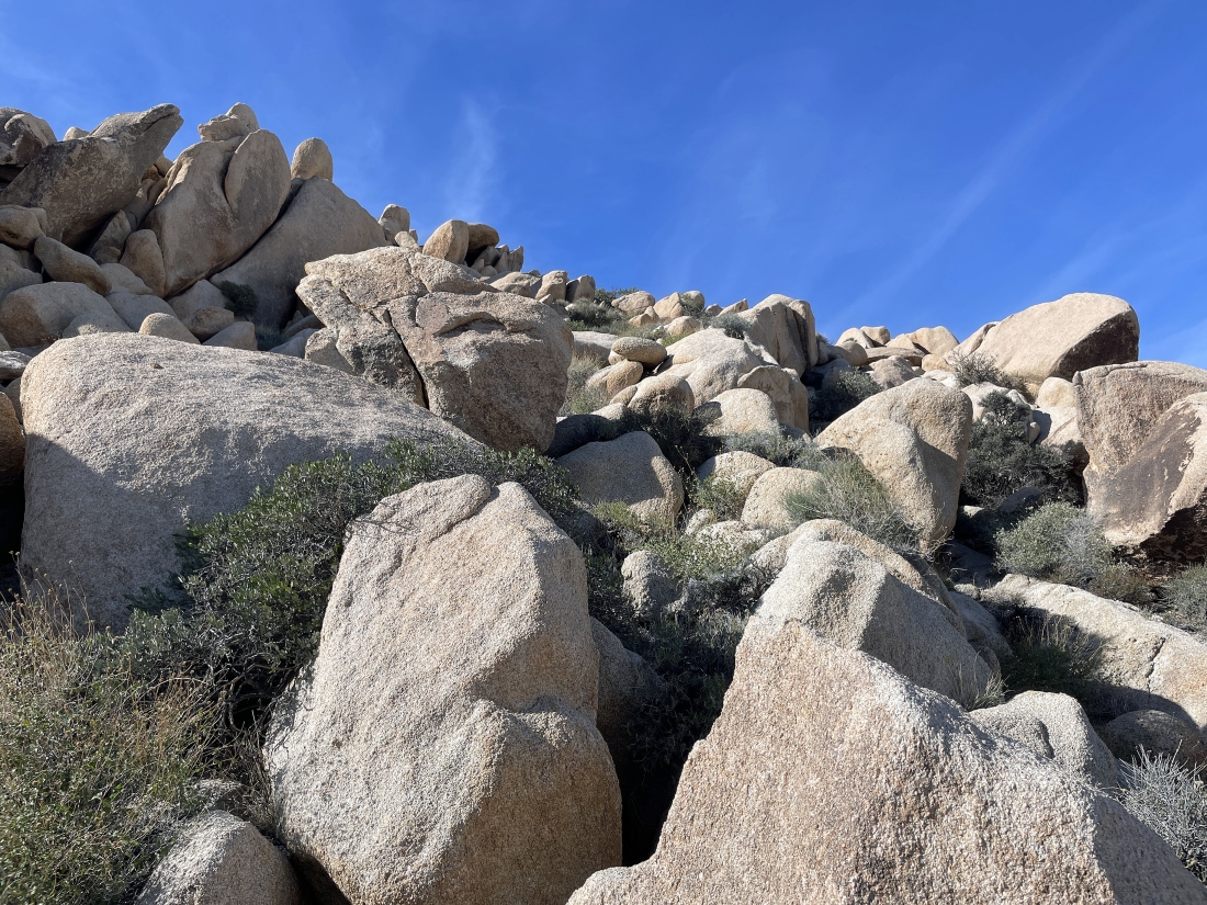
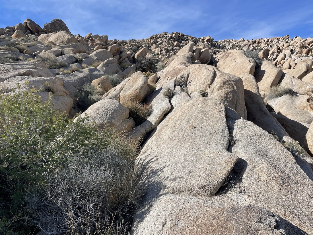
Working our way up the smooth rock.
|
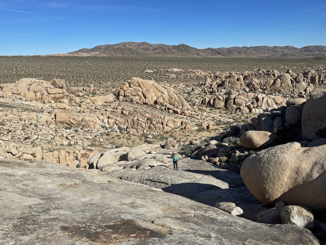
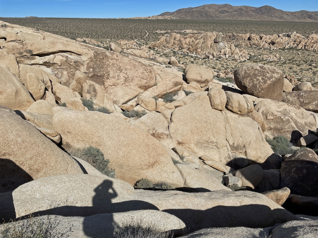
Denali Girl is coming up the smooth rock... with the west end of the Pinto Mountains on the horizon.
|
|
Star Dancer and Denali Girl are going to do some exploration while I continue on up to Point 3819 and then try a scramble route back down to the desert floor.
|
The summit of Point 3819 is just on the other side of the boulders in the distance on the left.
|
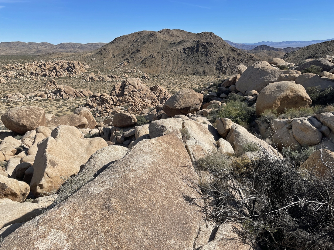
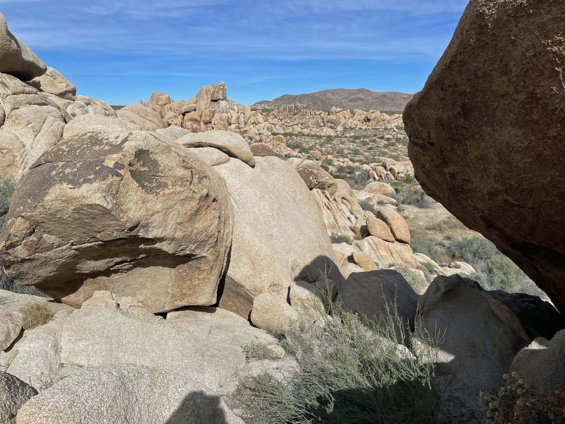
Standing on Point 3819 and trying to figure out a way down through the boulders to the desert floor... Point 3854 is the huge mountain in the foreground... with the Pinto Mountains on the horizon.
|
Looking back as I work my way down from Point 3819.
|
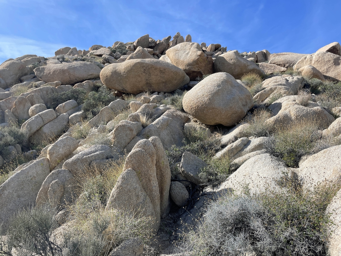
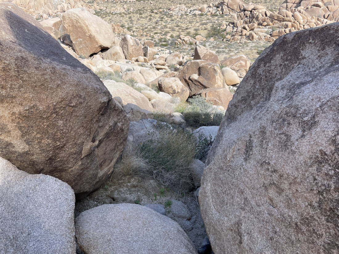
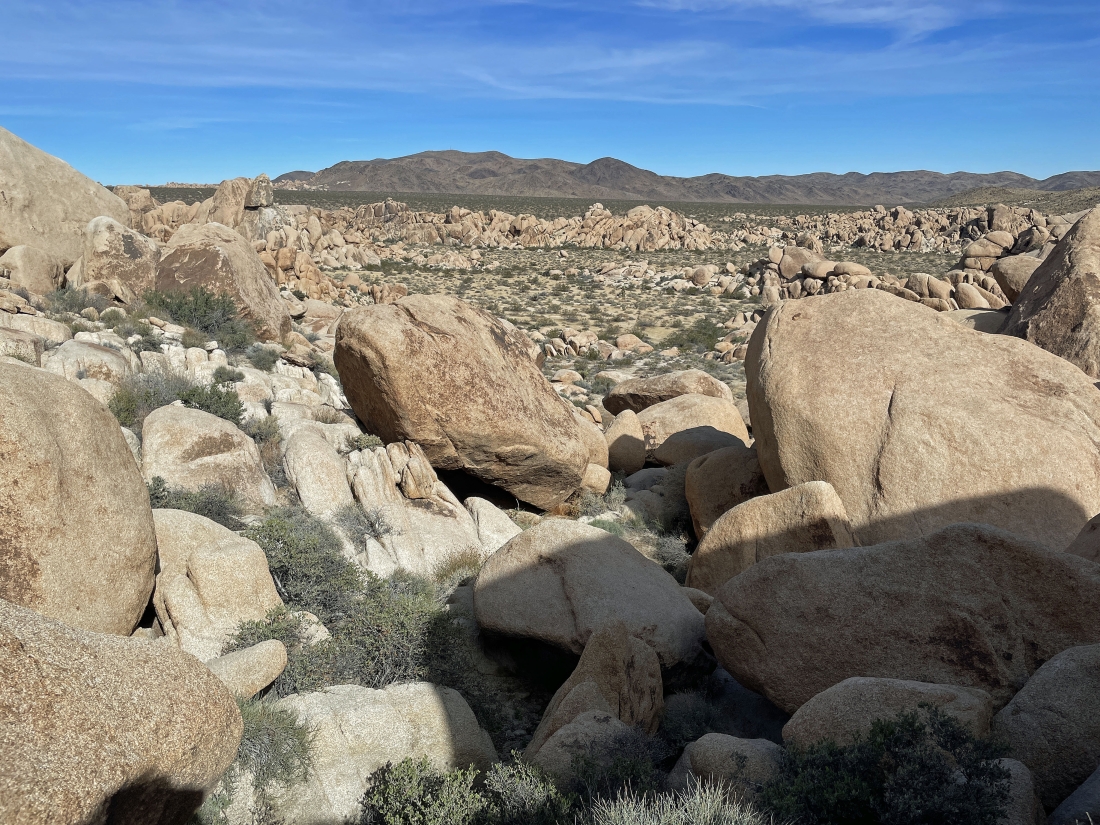
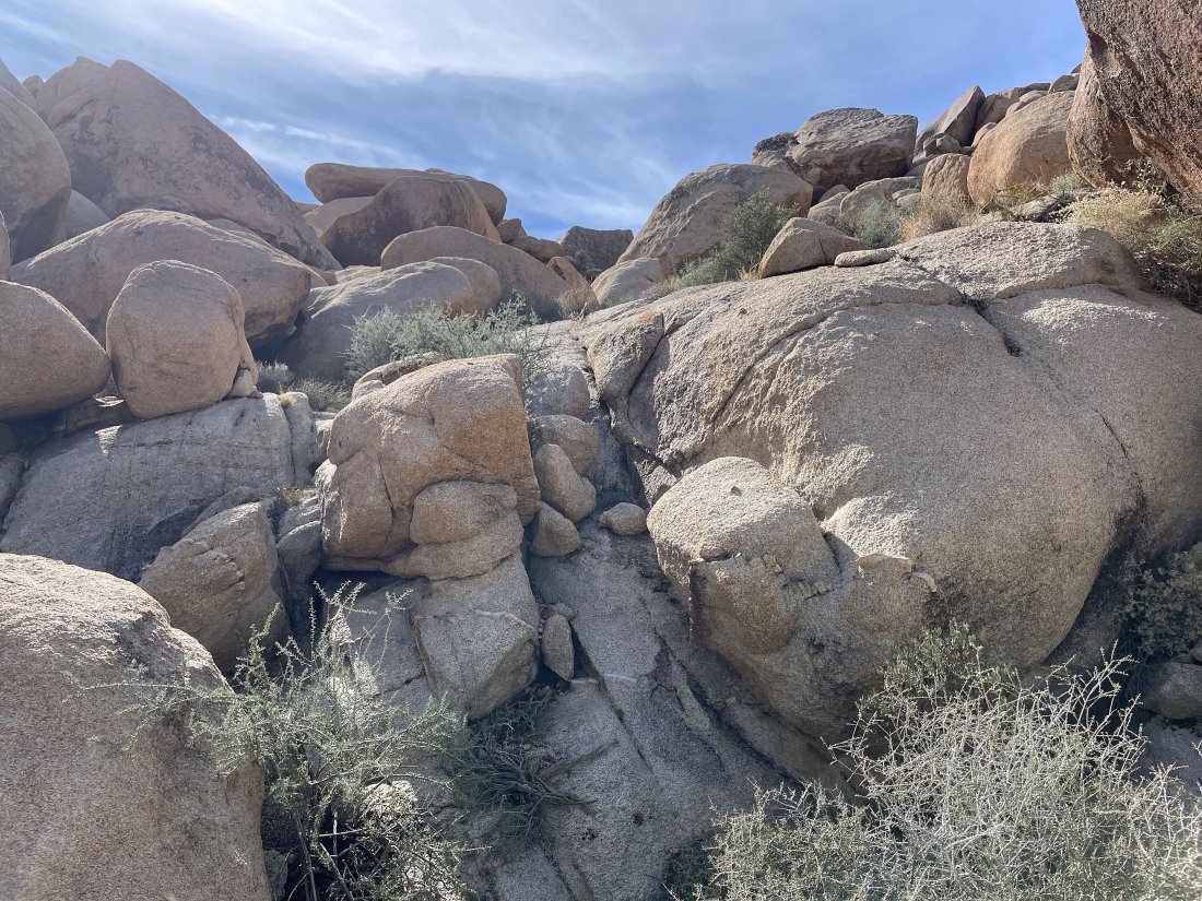
Continuing down from Point 3819... the thing that really makes this kind of tough is that thick plants and bushes are growing between the rocks.
|
Looking back up as I continue down from Point 3819.
|
Continuing down from Point 3819... with Point 3854 in the distance.
|
Continuing down from Point 3819... it would be nice to be over on the smooth, sloped rock a stone's throw over in the distance... but it doesn't look like it would be easy to get over there... oh well, maybe next time.
|
Looking back up as I continue down from Point 3819.
|
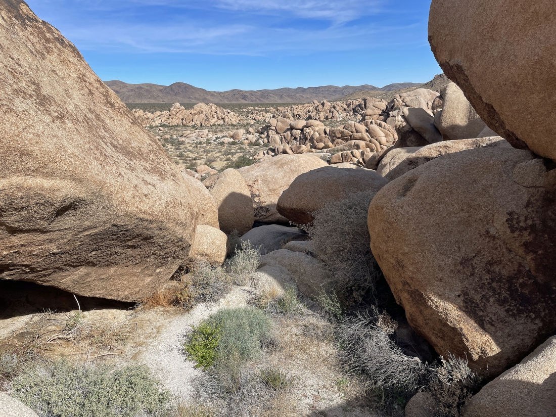
Getting closer to the desert floor... but there is still work to do in order to get there.
|
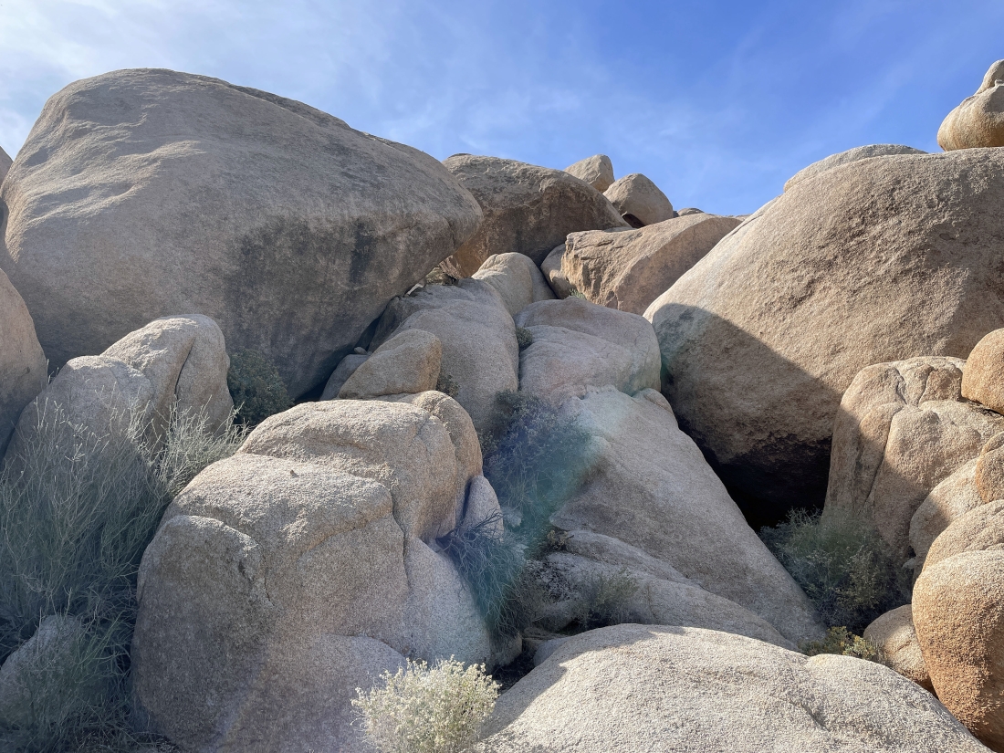
Working my way down to the desert floor from Point 3819.
|
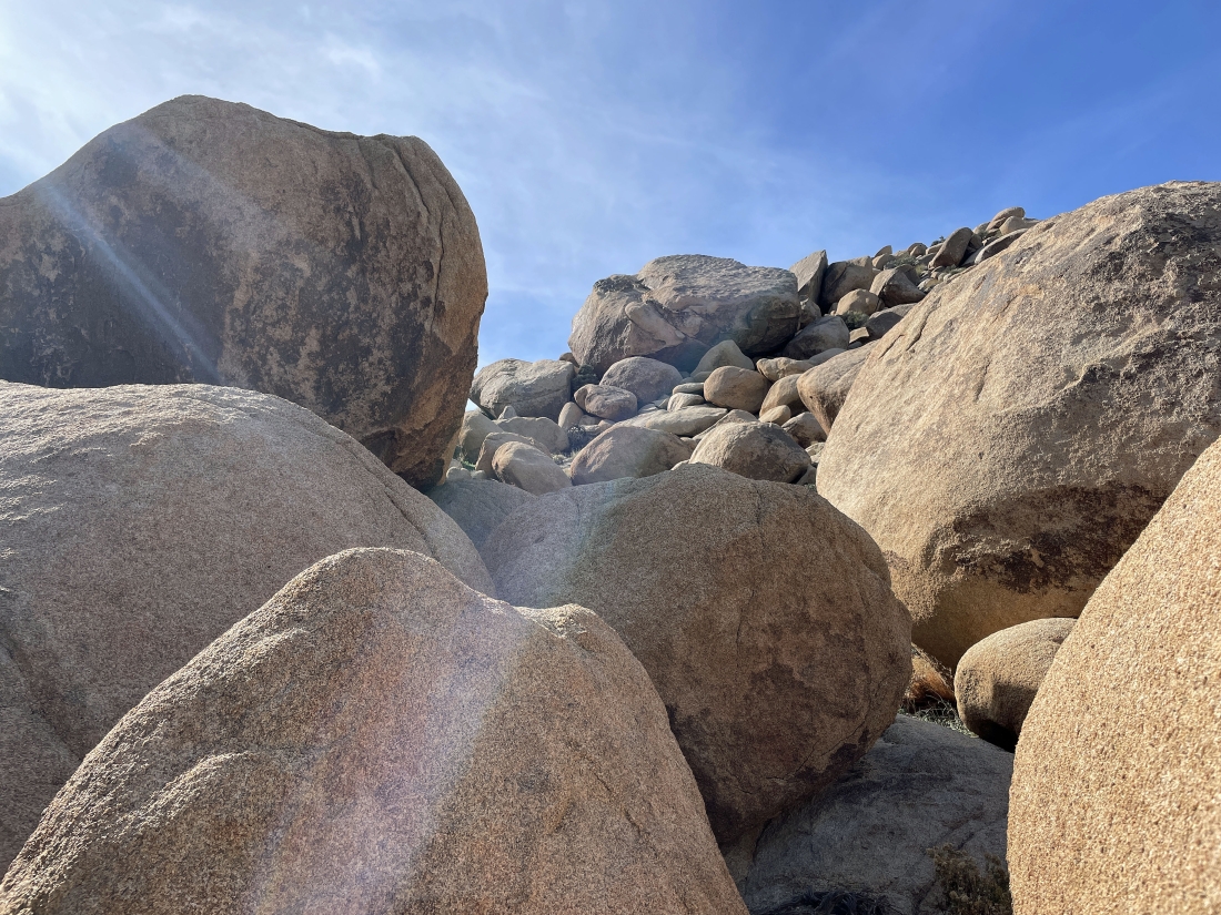
Working my way down to the desert floor from Point 3819.
|
Working my way down to the desert floor from Point 3819.
|
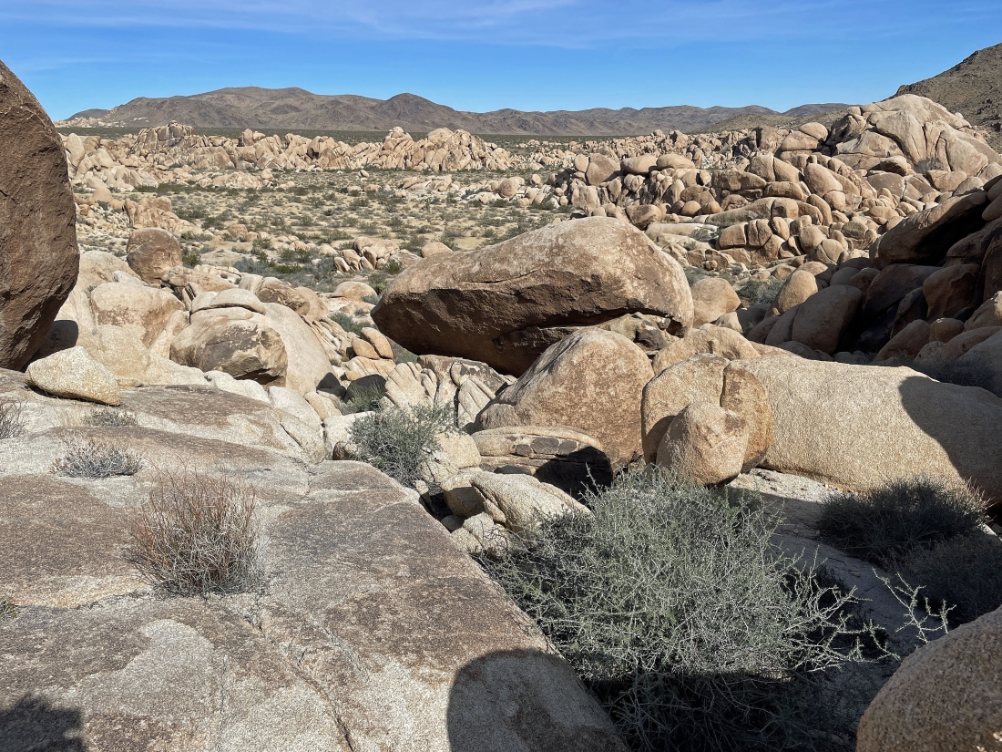
Looking back up as I continue down to the desert floor.
|
Working my way down to the desert floor from Point 3819.
|
Looking back up as I continue down from Point 3819.
|
Almost down to the desert floor.
|
I'm finally down on the desert floor... here looking at what I dealt with to finally reach the desert floor.
|
Heading back to the car... looking at Point 3819... taking the smooth rock on the far right to easily reach Point 3819... and looking at the rugged rock in the left-center of the photo that I used to get back down to the desert floor.
|
The parking lot is a short distance away... it took 28 minutes to reach the summit of Point 3819... and a another hour to get back down to the desert floor... the total hike was 1.1 miles, gaining 367 feet of elevation.
|
