Ryan Mountain - 11.28.2025
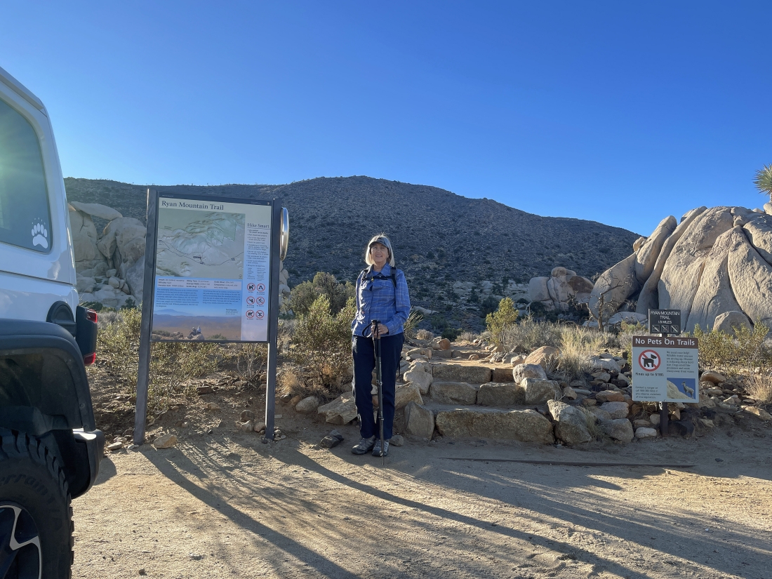
The main entrance to Joshua Tree National Park is at the end of Quail Springs Road. From this entrance to the park drive Park Blvd for 12.6 miles to the popular trailhead for Ryan Mountain... located at 4,400 feet of elevation.
|
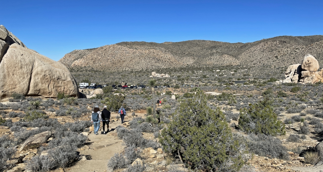
A stone's throw from the parking lot the trail goes between what the Mountain Project website calls 'Junk Clump' on the left and 'North and South Cave Rock' on the right.
|
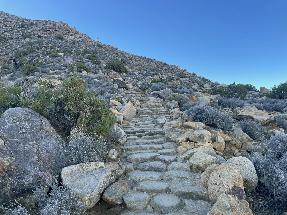
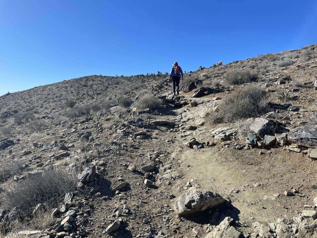
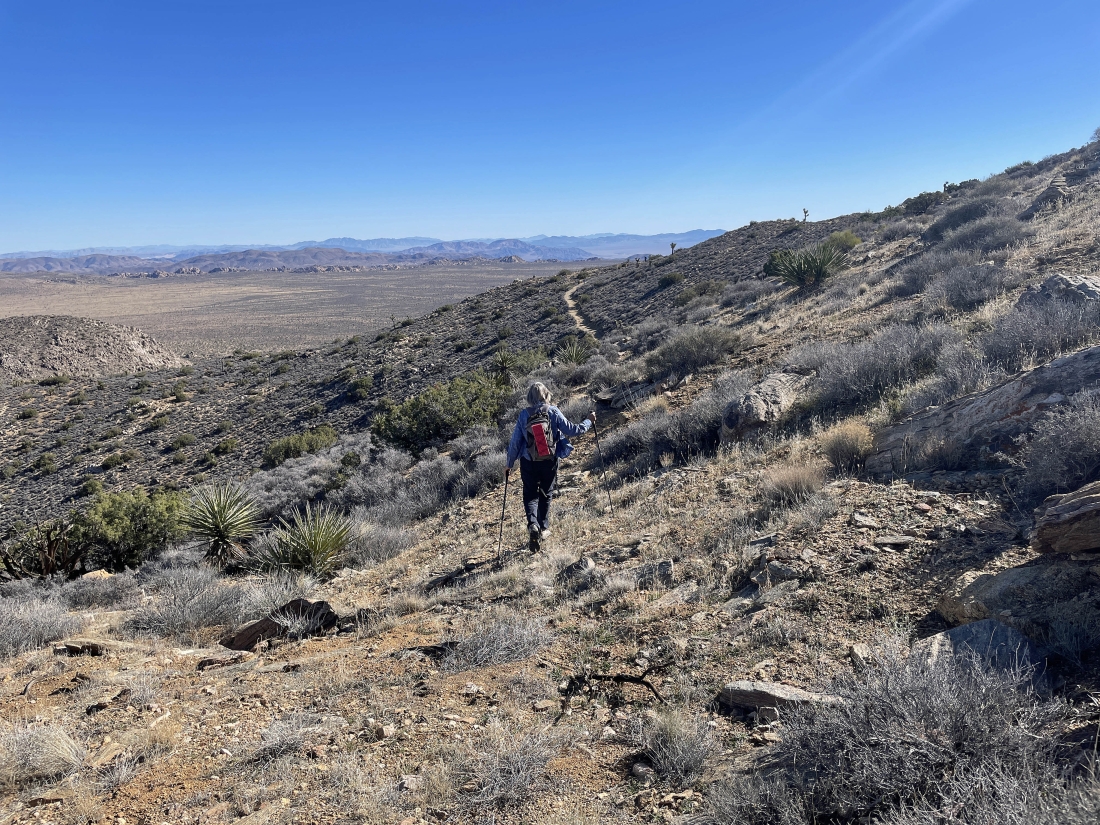
Continuing to gain elevation on the Ryan Mountain Trail... actually I think it should be called the Ryan Mountain Staircase.
|
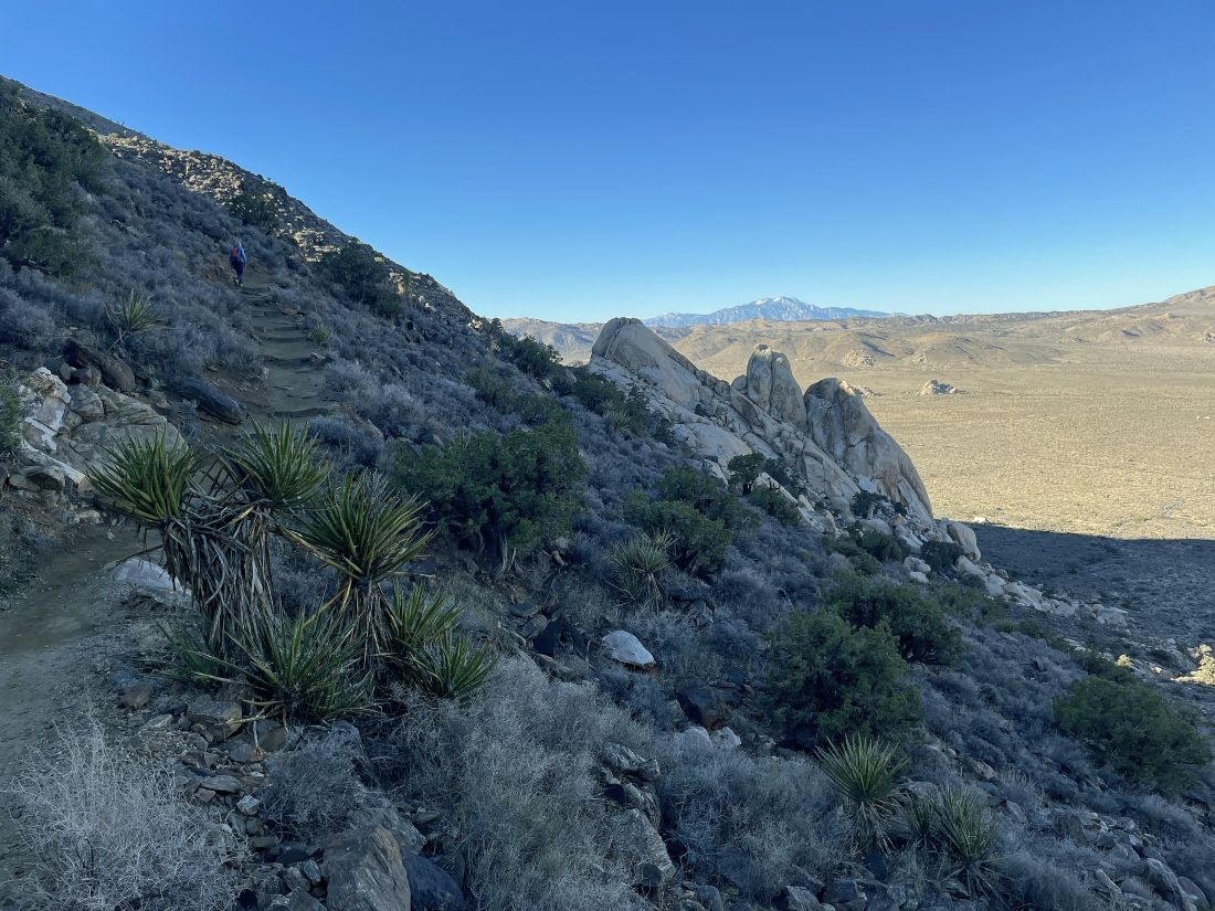
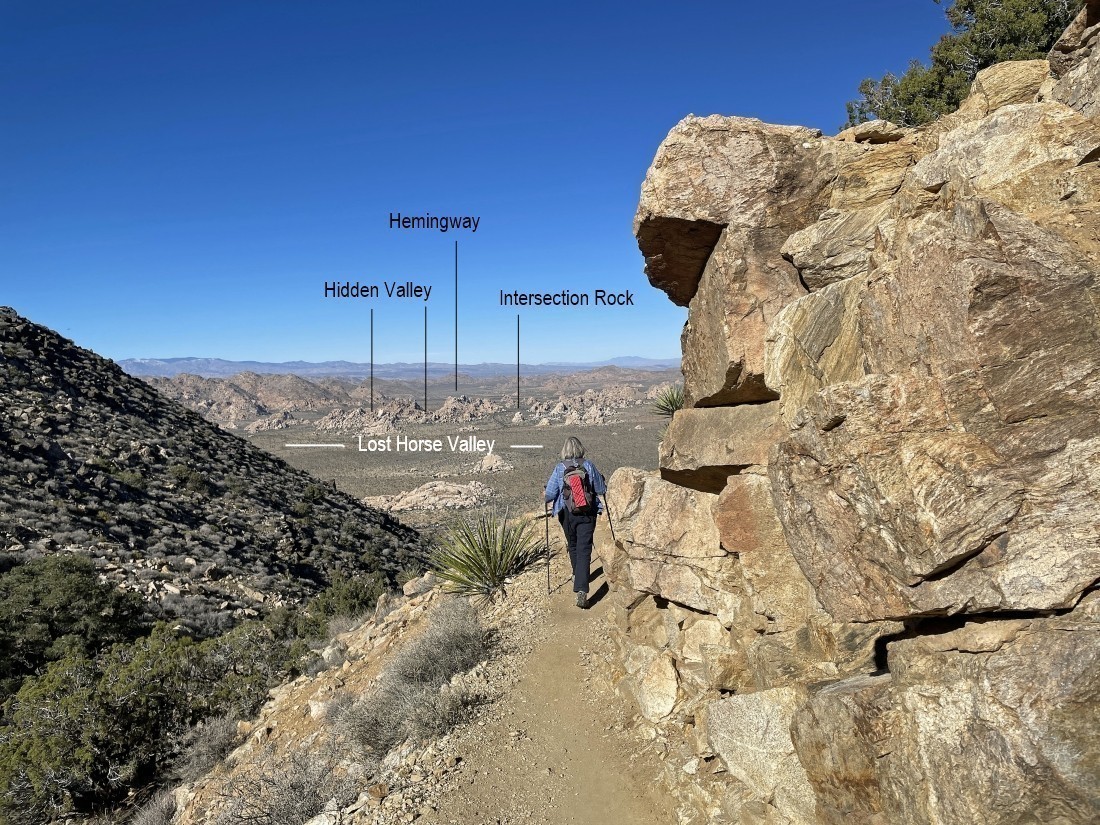
Continuing to gain elevation on the Ryan Mountain Trail... here looking across part of Lost Horse Valley to the 'Hall of Horrors'... the large rock formation in the left center foreground... with Quail Mountain ( the high point in the park ) on the horizon beyond the 'Hall of Horrors'.
|
Continuing to gain elevation on the Ryan Mountain Trail... looking across Lost Horse Valley... to San Jacinto Peak (10,834 feet) on the left-center horizon... with Quail Mountain on the far right horizon... and the 'Hall of Horrors' in the far right foreground.
|
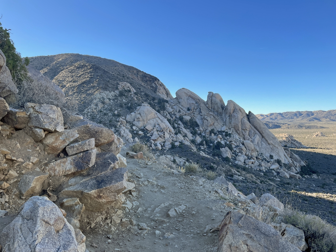
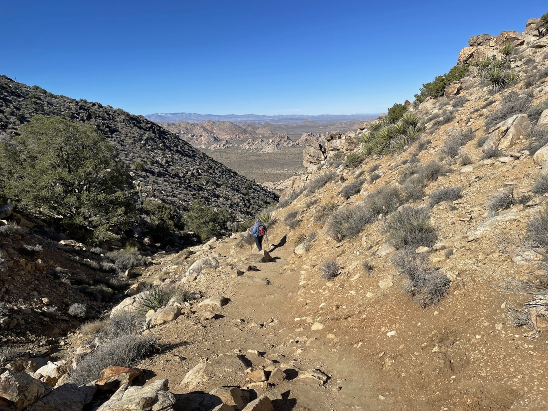
Continuing to gain elevation on the Ryan Mountain Trail... with the Saddle Rock climbing area in the right-center of the photo.
|
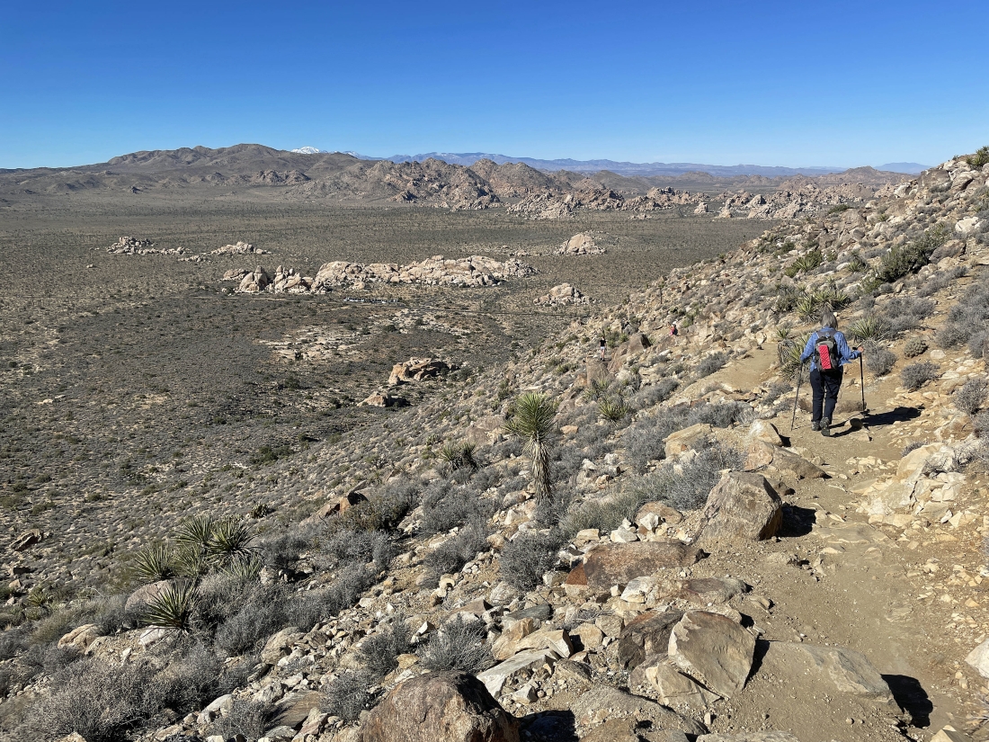
Continuing to gain elevation on the Ryan Mountain Trail... looking beyond Saddle Rock and across Lost Horse Valley to the Little San Bernardino Mountains... and beyond the San Bernardion Mountains to the 10,834 foot San Jacinto Peak.
|
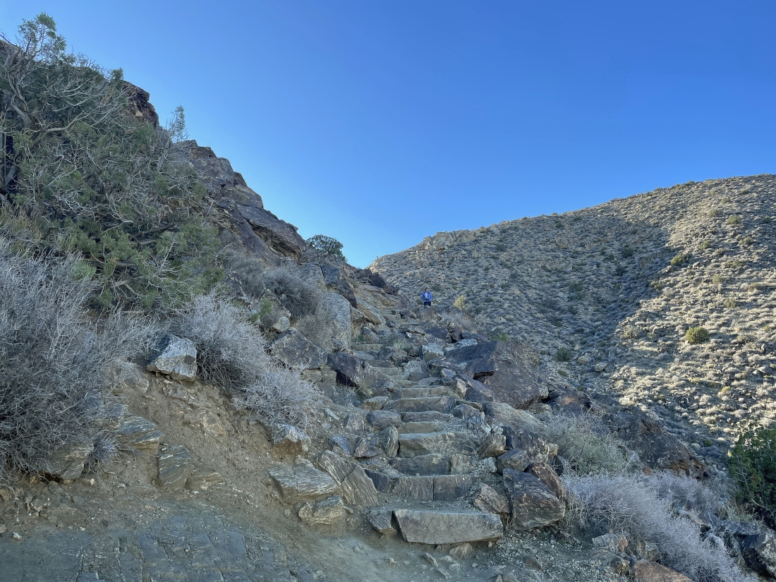
Continuing to gain elevation on the Ryan Mountain Trail... or is it the Ryan Mountain Staircase.
|
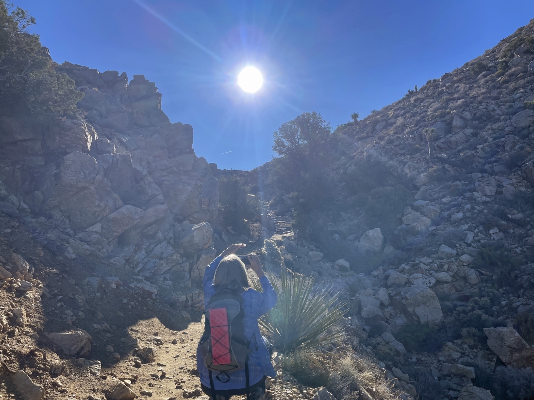
Denali Girl is trying to take a photo that doesn't have the sun glare in it... all I can say is good luck.
|
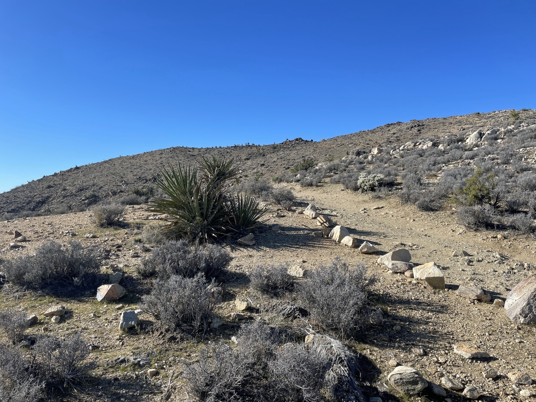
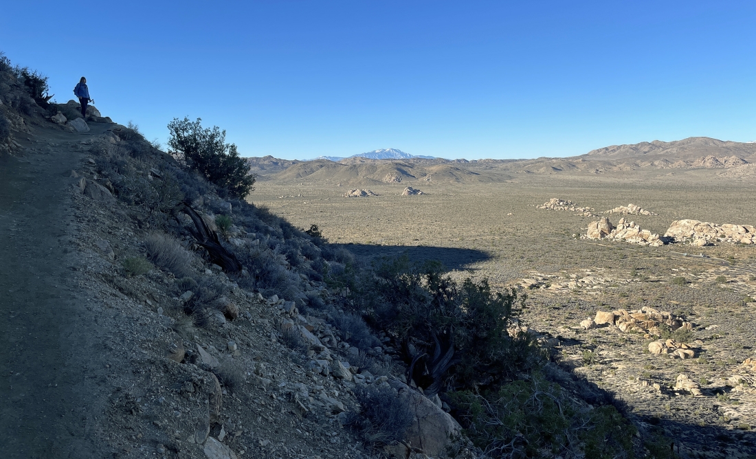
The trail has eased a bit... with the summit out there on the far left.
|
|
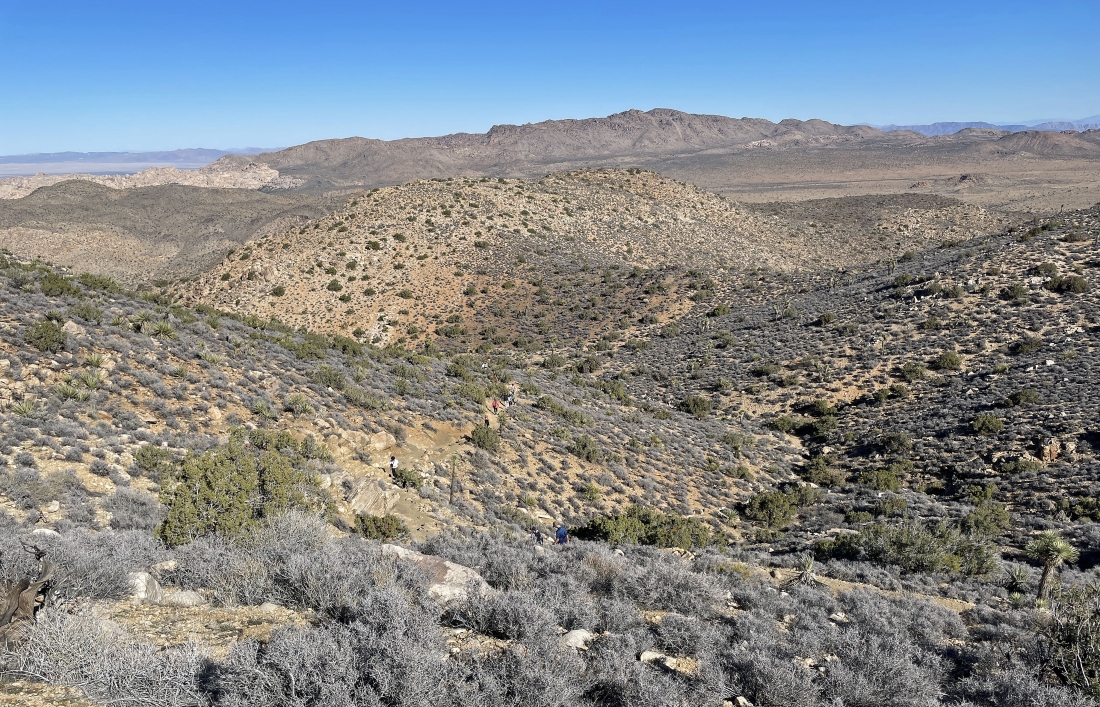
Continuing to gain elevation on the Ryan Mountain Trail... here looking back... with the massive 'Wonderland of Rocks' in the middle of the photo... and looking across Queen Valley to Queen Mountain on the right horizon.
|
Continuing to gain elevation on the Ryan Mountain Trail... with the summit out there on the left.
|
After hiking 1.5 miles we have reached the 5,457 foot summit of Ryan Mountain... looking beyond part of the Little San Bernardino Mountains on the left to San Jacinto Peak on the left horizon... and beyond Quail Mountain on the right horizon to the snow covered San Gorgonio Mountain ( 11,503 feet ) located in the San Bernardino Mountains.
|
From the Ryan Mountain summit... looking SE to Pinto Mountain and Pinto Basin... south to Lost Horse Mountain and Pleasant Valley... and SW to San Jacinto Peak.
|
From the Ryan Mountain summit... looking across Lost Horse Valley and the Little San Bernardino Mountains to the Santa Rosa Mountains on the far-left horizon... with San Jacinto Peak on the far-right horizon.
|
|
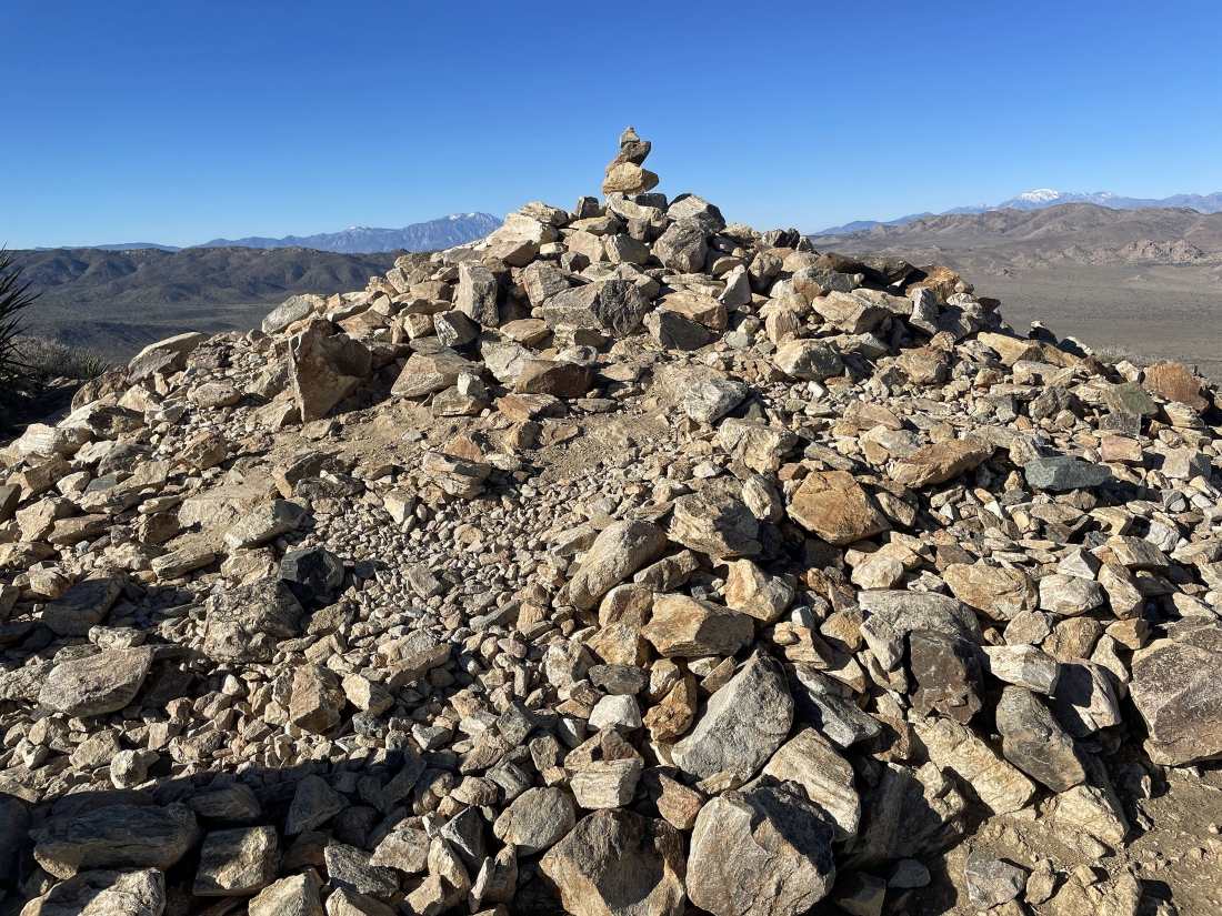
We will leave the official summit of Ryan Mountain and head cross-country north over to the little rock piles in the distance.
|
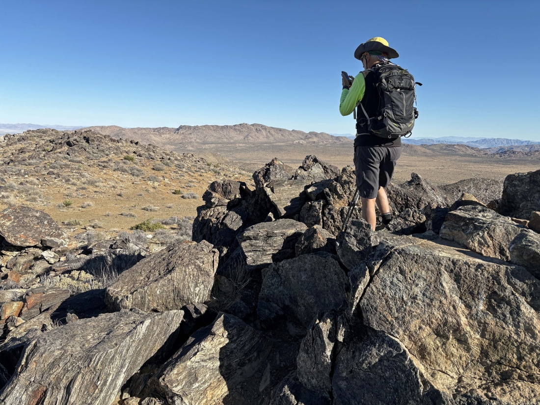
Denali Girl took this photo of me on one of those rock piles from the previous photo... looking north across Queen Valley to the massive Queen Mountain.
|
Looking north at the massive collection of rocks in 'The Wonderland of Rocks' in the middle of the photo... with half of Queen Mountain on the far right horizon.
|
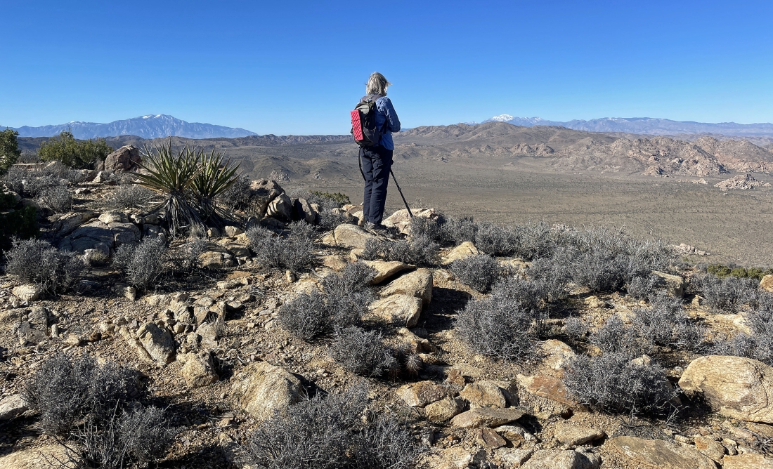
Denail Girl looks across Lost Horse Valley to Quail Mountain in the foreground... with the snow covered San Gorgonio Mountain on the horizon... with San Jacinto Peak on the far-left horizon.
|
Heading back down to join the Ryan Mountain Trail... with the southern part of Queen Valley out there in the distance.
|
Almost ready to rejoin the Ryan Mountain Trail... looking north to the huge Queen Mountain on the horizon.
|
Back on the Ryan Mountain Trail and tracing our steps back down it to the car.
|
Heading back down to the car.
|
Heading back to the car.
|
Almost back to our car... the total hike was 3.2 miles, gaining 1,070 feet of elevation.
|
