Coxcomb Foothills - 12.6.2025
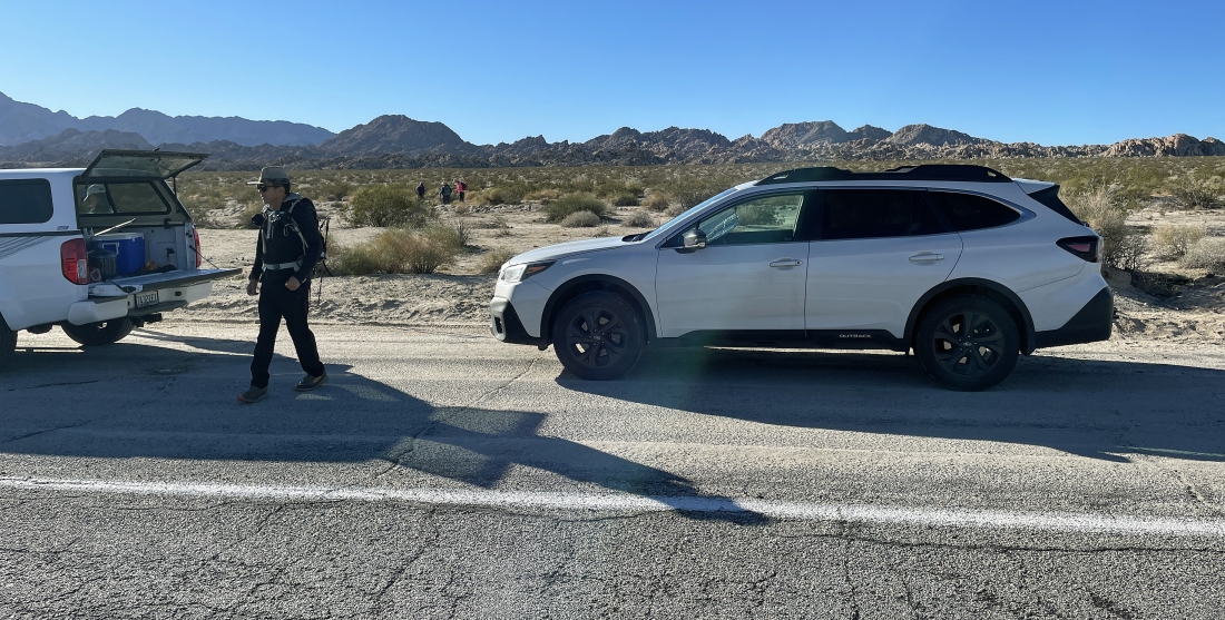
From the intersection of Adobe Road and CA Hwy 62 in the town of Twentynine Palms... drive east on the highway for 37.7 miles and park in a paved pullout where there is an emergency telephone. We will hike south toward the rock formations in the middle of the photo.
|
Looking back to the north where we parked in a pullout on CA Hwy 62. I have no idea if the mountains on the horizon have a name.
|
Hiking south toward the Coxcomb Foothills in the middle of the photo... with the Coxcomb Mountains on the left horizon... and part of the Sheep Hole Mountains on the far right horizon.
|
Nearing the Coxcomb Foothills... we are all heading straight for an arch in the distance.
|
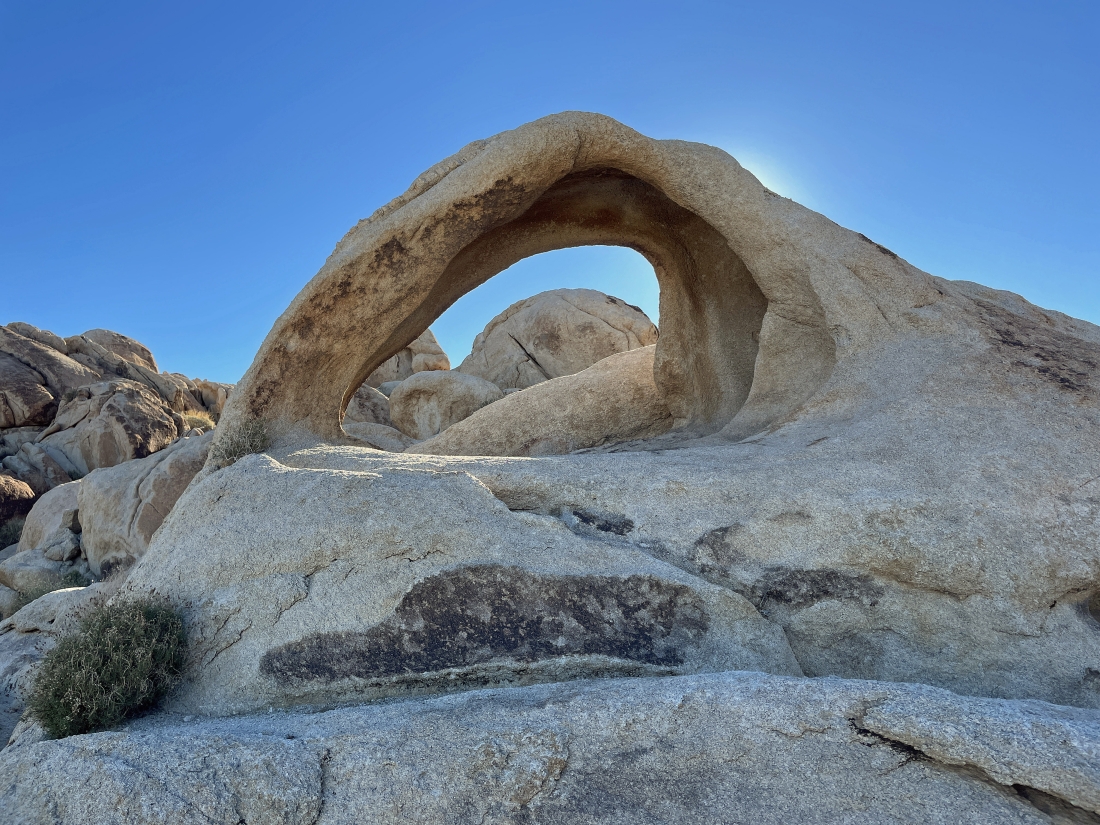
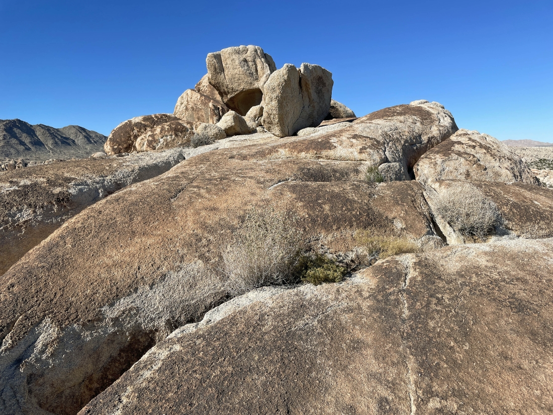
Our first arch for the day.
|
|
Briefly hiking SE toward the Coxcomb Mountains to get around this rock formation... then will continue hiking south.
|
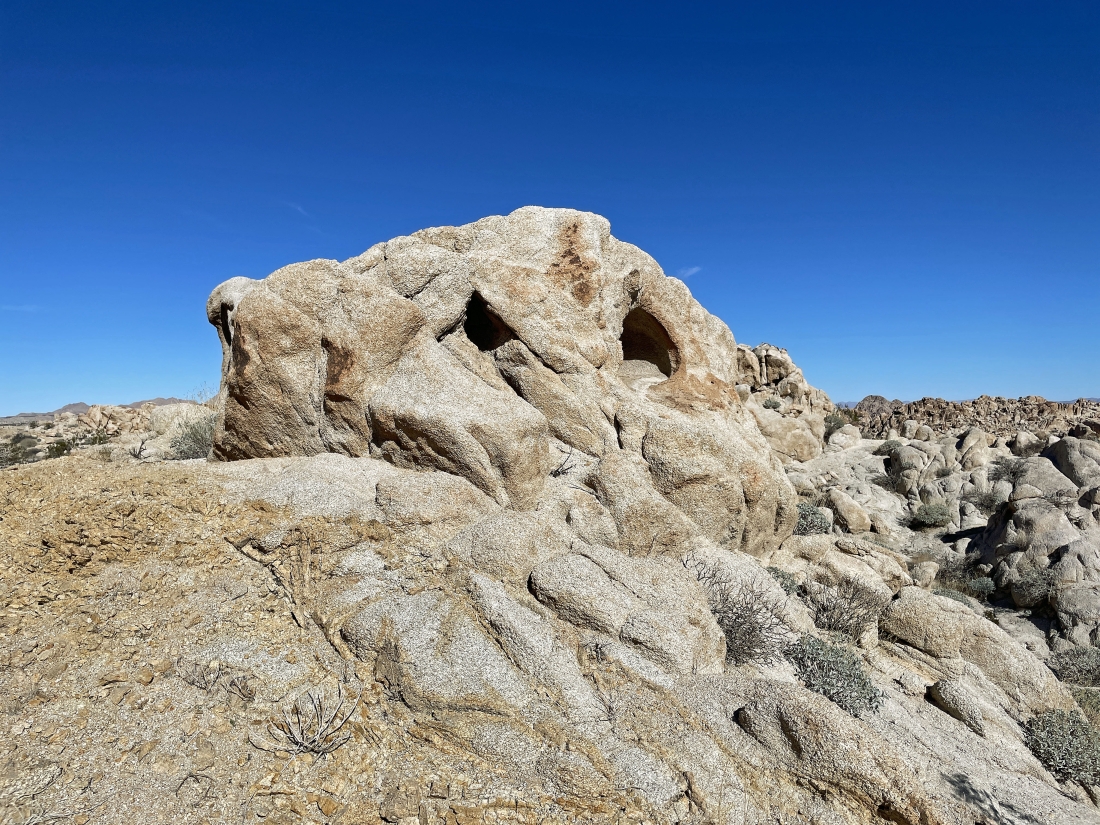
An interesting hole in the rock on the left.
|
Denali Girl took a photo of me in the rock from the previous photo.
|
Coming down from the rock where I posed for everyone.
|
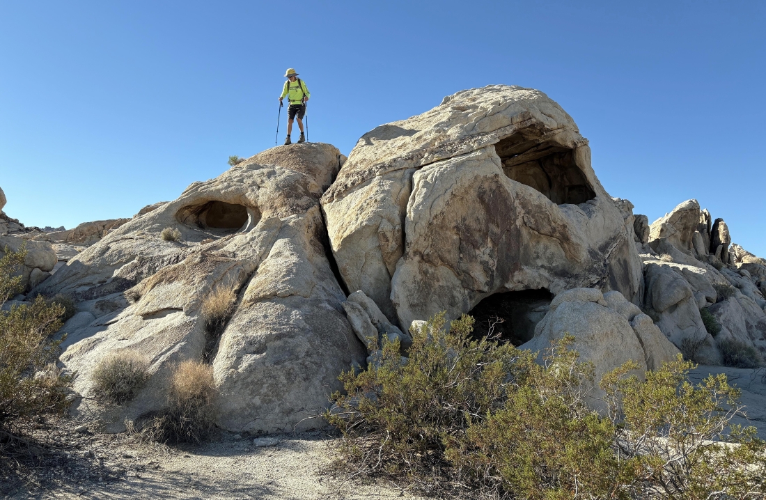
Continuing to hike south... and photoman explores a big hole in the rocks.
|
|
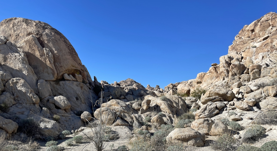
Starting to hike SW... getting ready to enter some more rock formations.
|
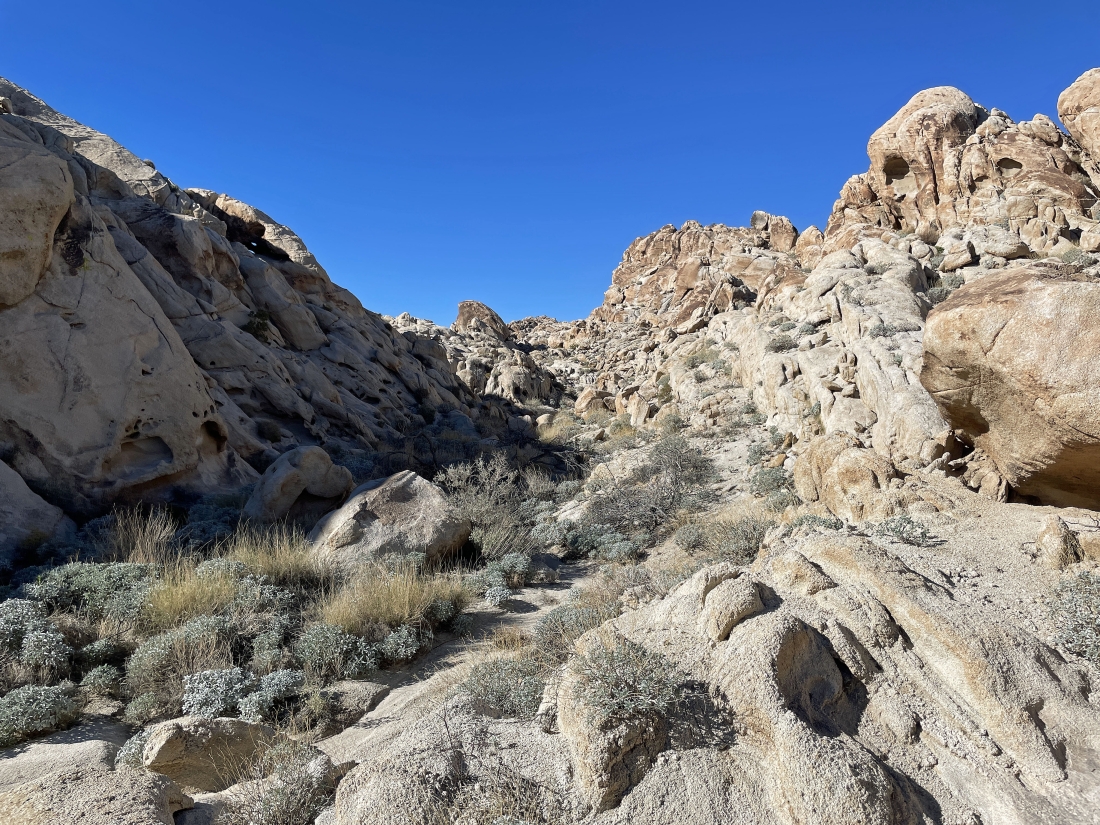
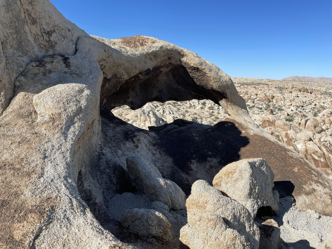
Passing by another little arch in the center of the photo.
|
Stalker is leading us into a little canyon.
|
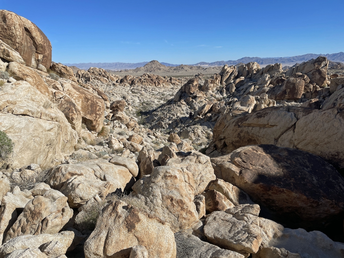
Looking back down the canyon that Stalker was leading us in... I did come on up this canyon, but everyone else went back a bit and hiked around the rock formation coming in from the right. They had a gps track that told them to do so... but I wanted to try a new route.
|
I have reached the top of the canyon... and I will be able to get down to the desert floor and wait for the other hikers.
|
|
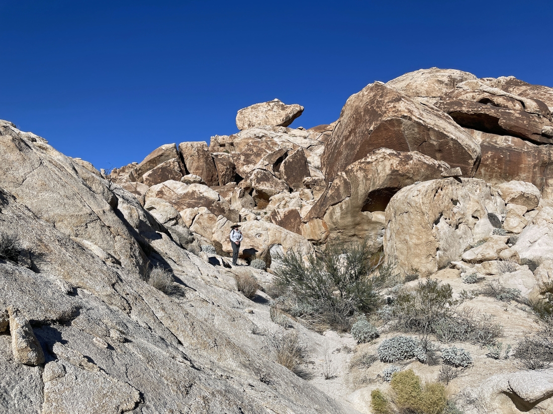
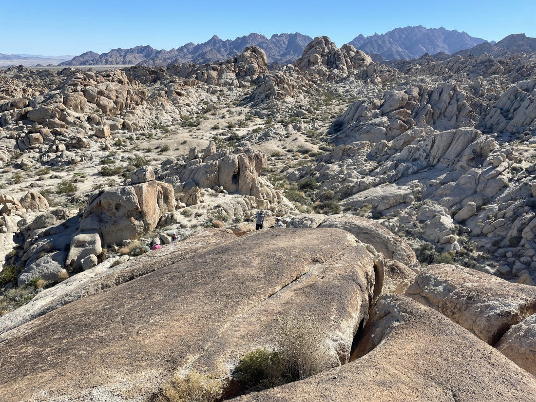
I'm waiting for the other hikers... they will be coming up to join me as they hike toward me from the middle of the photo... part of the Coxcomb Mountains are on the right horizon... and I believe it is the Iron Mountains on the right-center horizon.
|
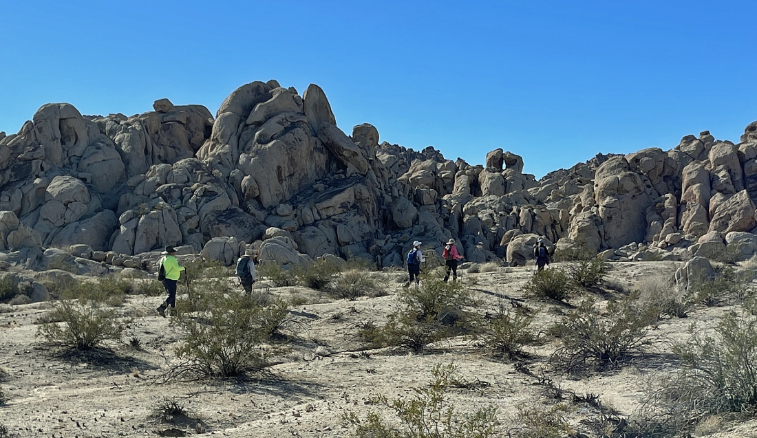
I have joined the others as we start hiking west... left to right... Zingo, Stalker, Long Shadow, Denali Girl and Star Dancer.
|
I'm going up another canyon that is not on a previous gps track that we are using... it is in the same direction as the others will take and I will rejoin them in a few minutes.
|

Looking back down the canyon route that I started a few minutes ago... the other hikers are on the other side of the rocks on the right.
|
I'm continuing up the canyon and will find a route up above to rejoin the other hikers.
|
|
Joining the other hikers as we continue to hike west.
|
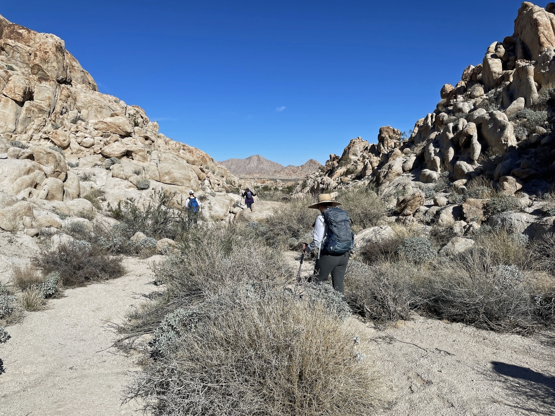
We will hike north through this wash for a very short distance and then head west again for an incredible rock formation... on the horizon we can see the unnamed mountains that are on the other side of CA Hwy 62 where we parked our cars.
|
Hiking past a rock formation that makes me think it is watching us... and I'm not sure it is smiling at us.
|
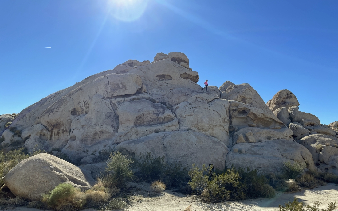
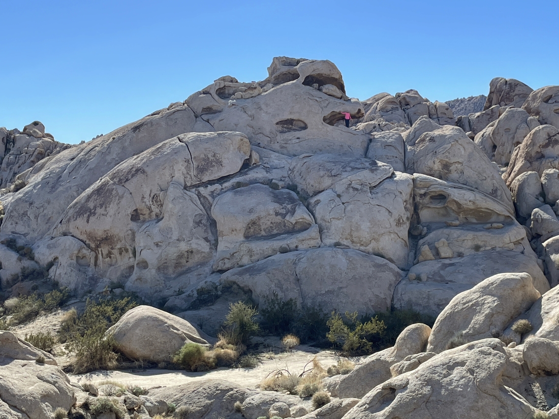
Hiking west again and I have named this rock formation the 'Coxcomb Dome'... and the name will be more obvious a little later.
|
I am hiking up the Coxcomb Dome.
|
Looking back down the ramp that I have used to get up to the Coxcomb Dome... that is the Coxcomb Mountains on the horizon.
|
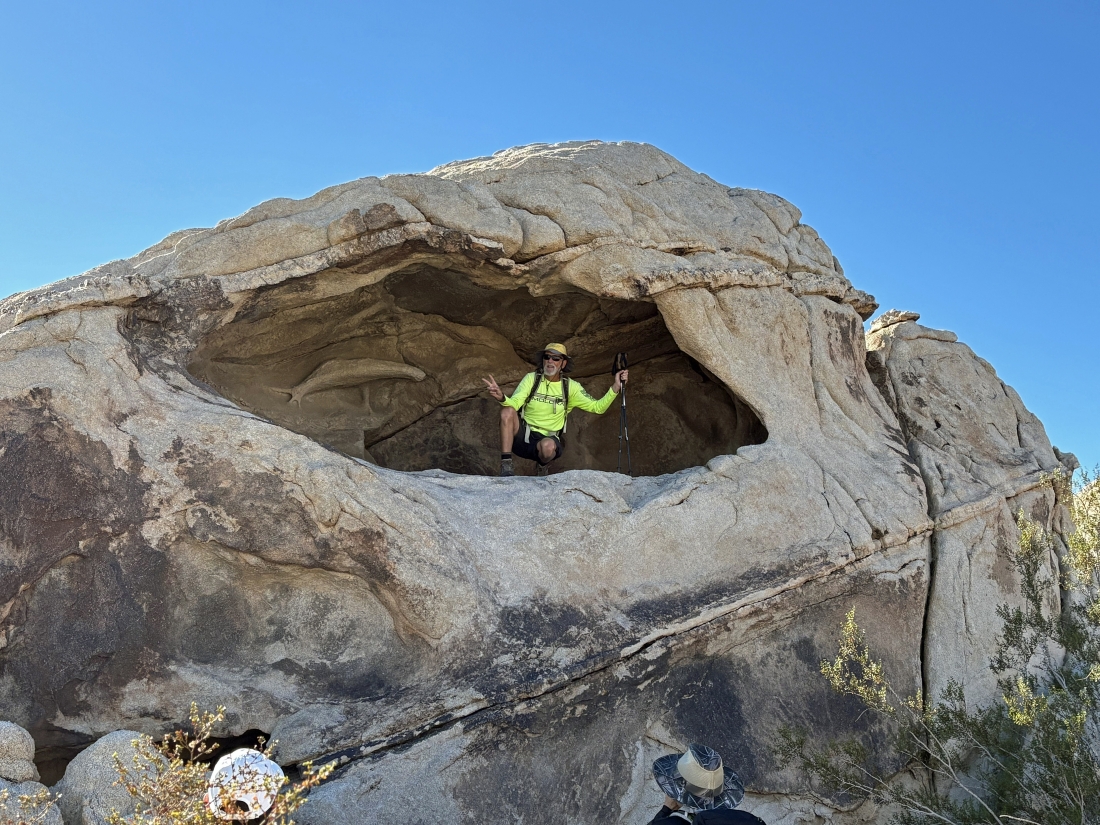
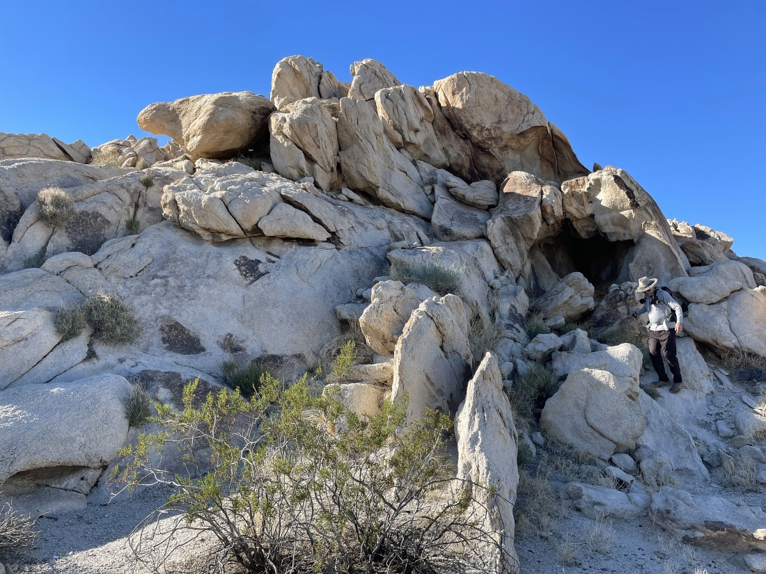
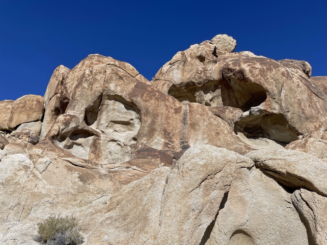
Getting ready to enter the cave at the top of the Coxcomb Dome.
|
Looking out from inside the top floor of the Coxcomb Dome.
|
I have returned from the top floor of the Coxcomb Dome... here looking up at Denali Girl as she nears the bottom floor of the Coxcomb Dome.
|
Denali Girl stands at the entrance to the bottom floor of the Coxcomb Dome.
|
This rock formation was across the wash from the Coxcomb Dome.
|
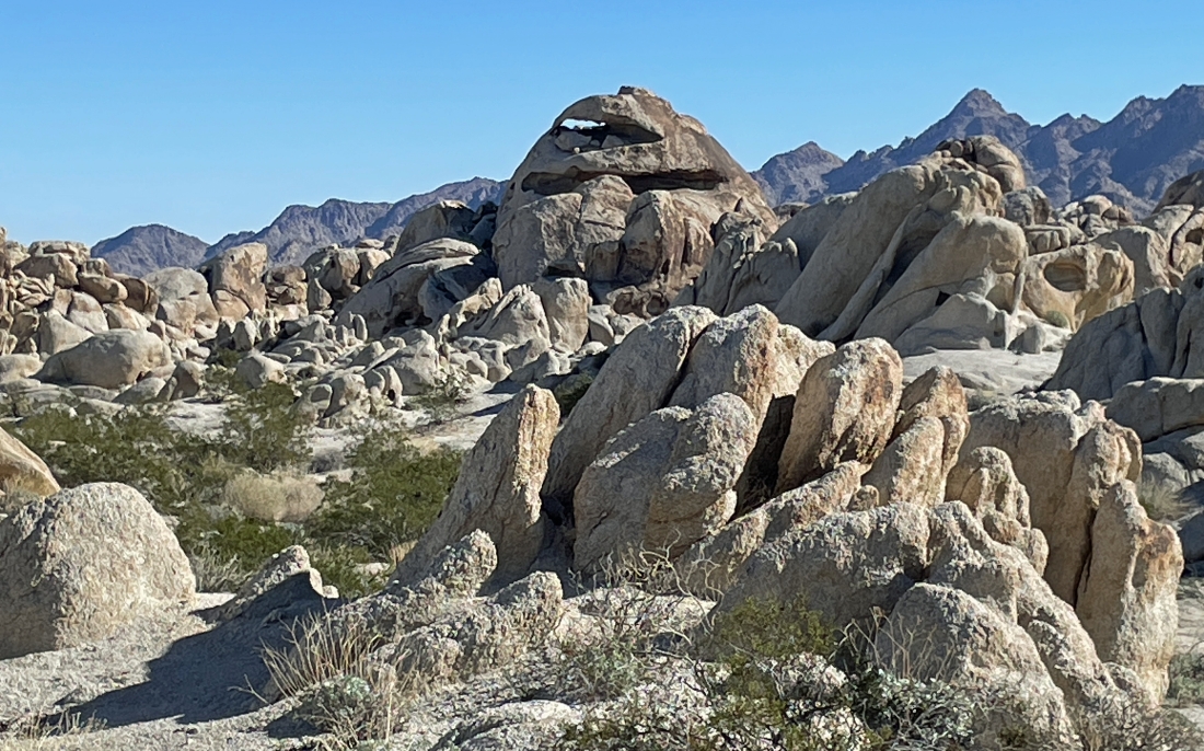
Continuing to hike west... here looking back at the Coxcomb Dome in the middle of the photo... and this view is what made me name the rock formation the Coxcomb Dome.
|
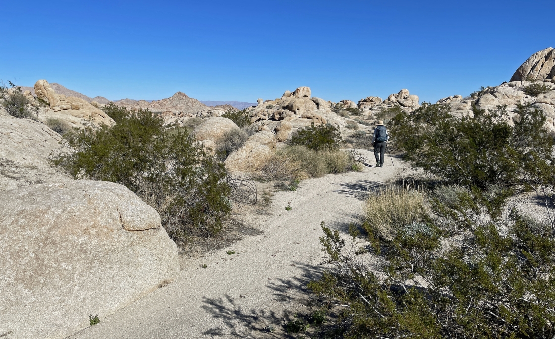
Shortly after visiting the Coxcomb Dome we are hiking north... heading for our cars.
|
Continuing to hike north as we come out of the Coxcomb Foothills.
|
A half-mile hike across the desert floor will get us back to our cars... the total hike was a 4 mile loop hike, gaining 320 feet of elevation.
|
