South Astro Dome - 12.13.2025
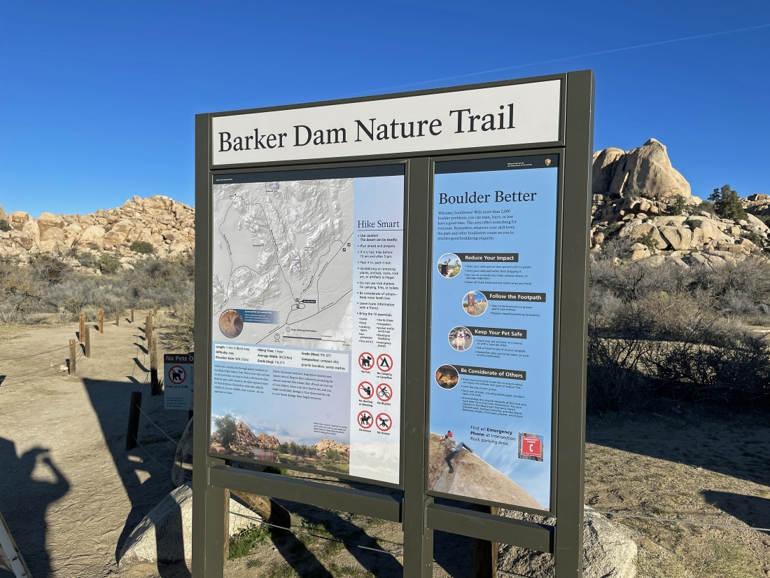
We started from the very popular trailhead for the Barker Dam Nature Trail in Joshua Tree National Park. Today we will do a thru-hike... so we parked our other car at the 'Echo T' Parking Lot.
|
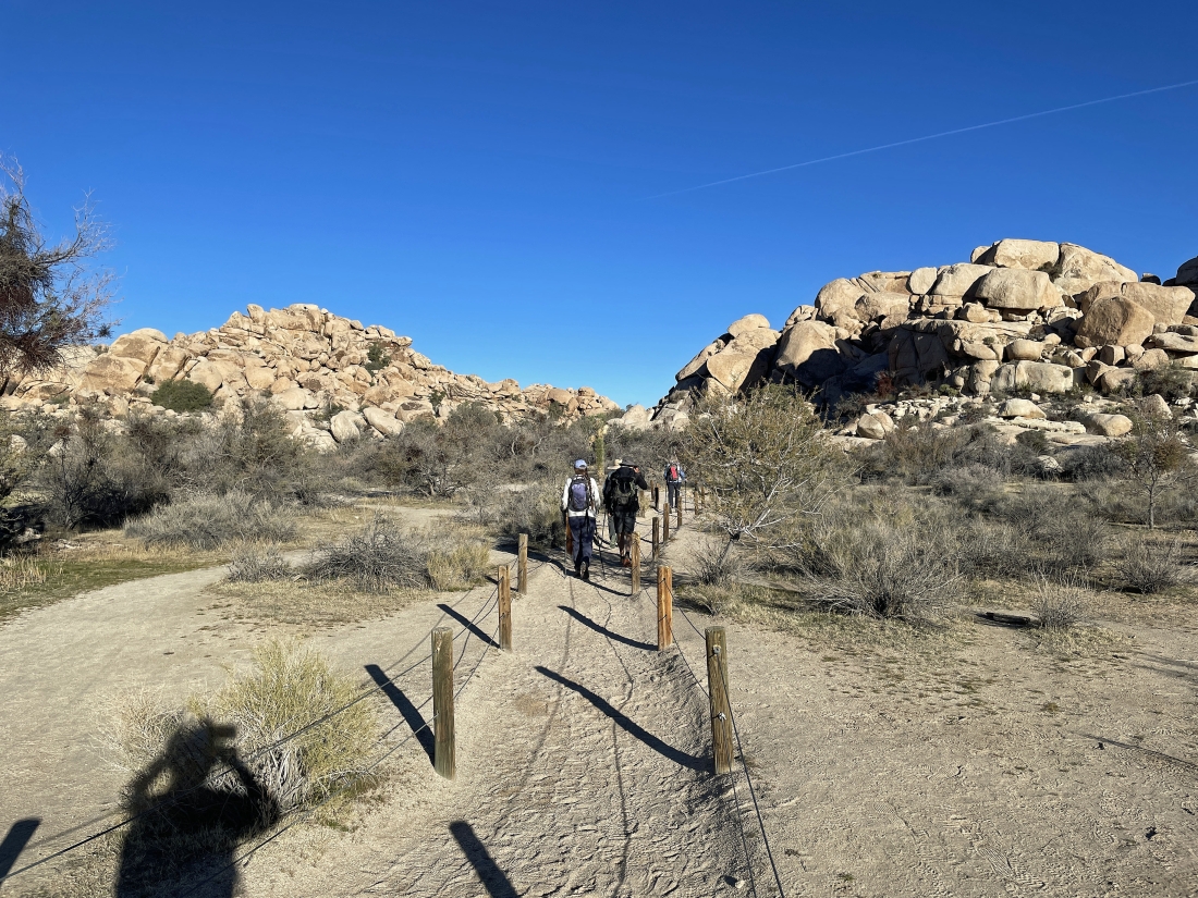
Heading into the Barker Dam area.
|
Continuing to head into the Barker Dam area... it reminds me of the Hidden Valley area where many years ago cattle and horse wrestlers hid their livestock.
|
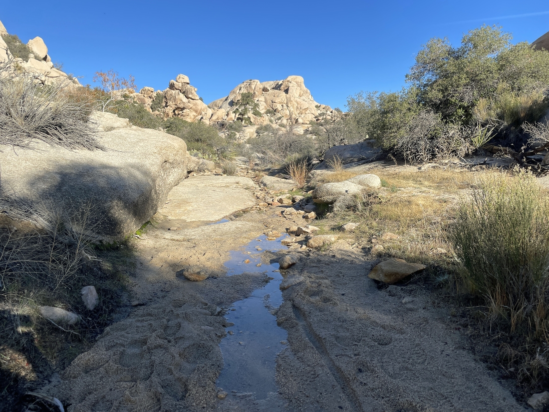
Very little water in Barker Lake... here looking north across the lake area to South Astro Dome on the horizon in the middle of the photo.
|

Barker Dam is down there in the middle of the photo... very little water in the lake... but the most we have seen since 2018.
|
We have hiked beyond the lake area and heading for the South Astro Dome which is kind of blocked by the rock formation out there in the middle of the photo.
|
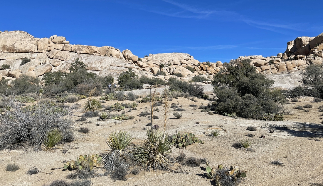
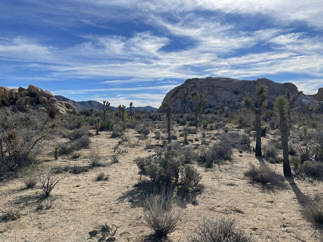
This beautiful area beyond Barker Lake is worth a visit even if you don't go any further... we will be heading for a low point over in the left-center of the photo.
|
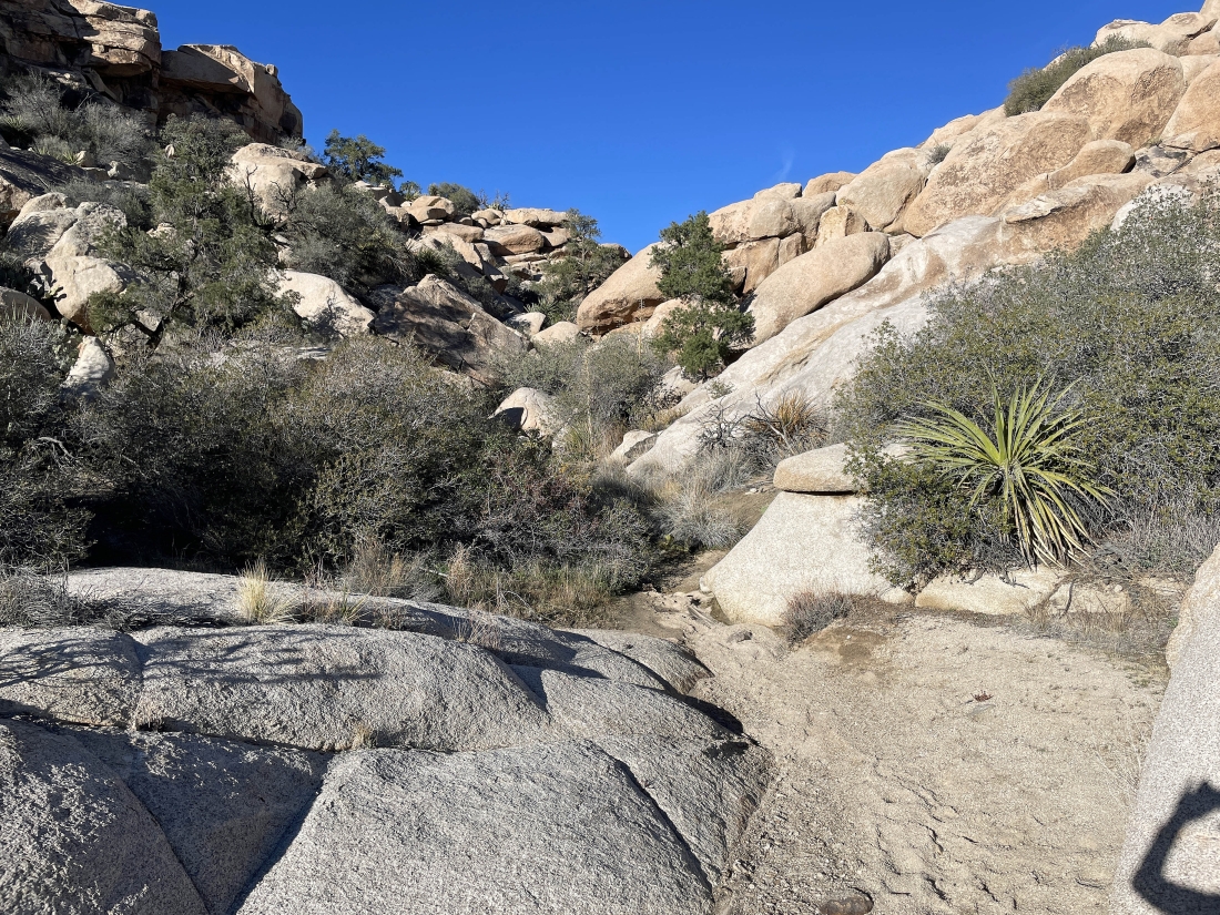
We will head up here to get up above the area beyond Barker Lake... it looks a little brushy so we will try to use the rocks on the right side of the photo.
|

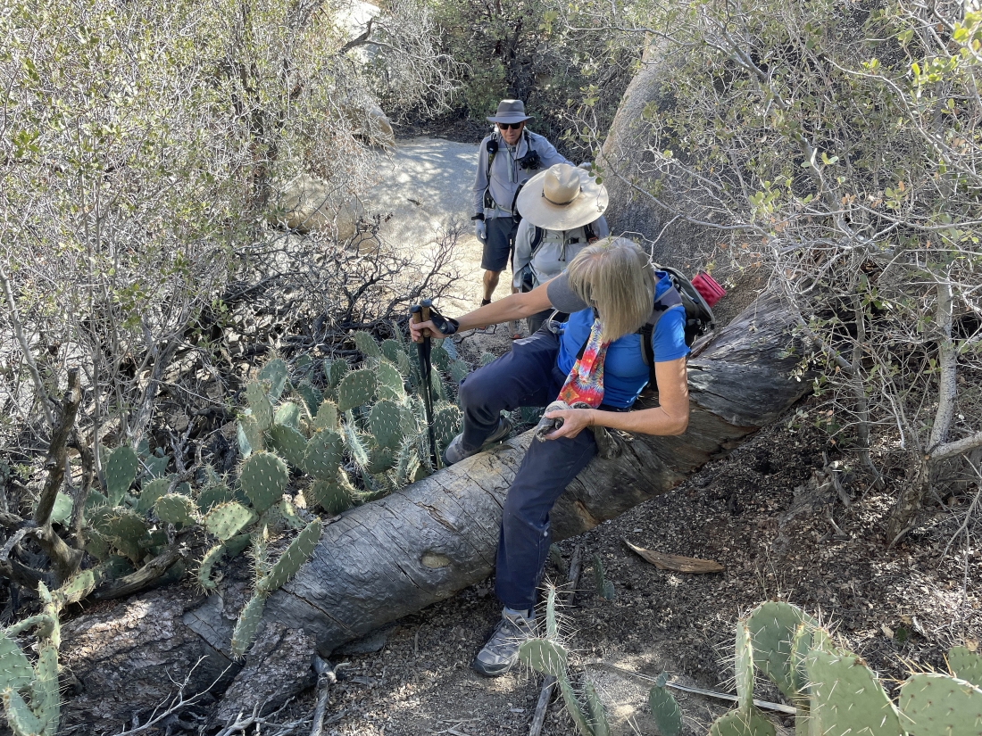
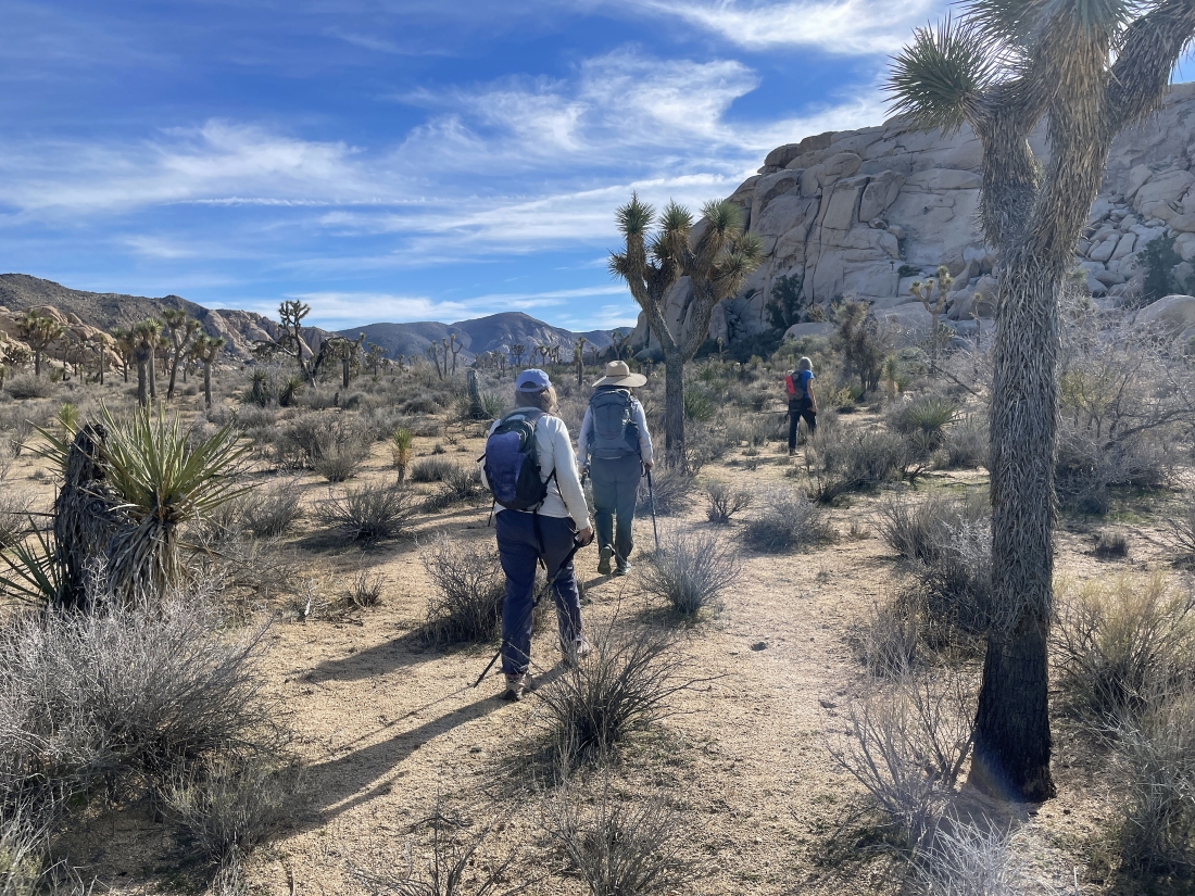
Working our way through the brushy area by using the rocks.
|
Almost out of the brushy area.
|

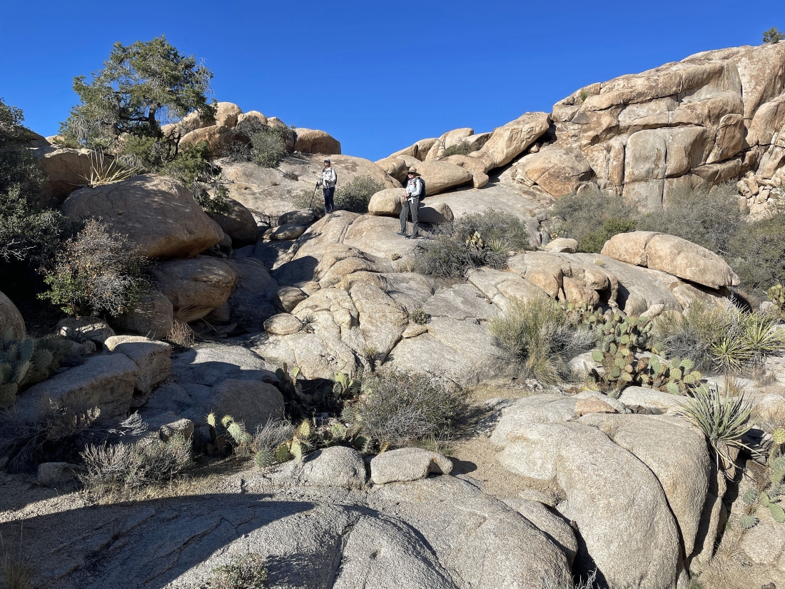
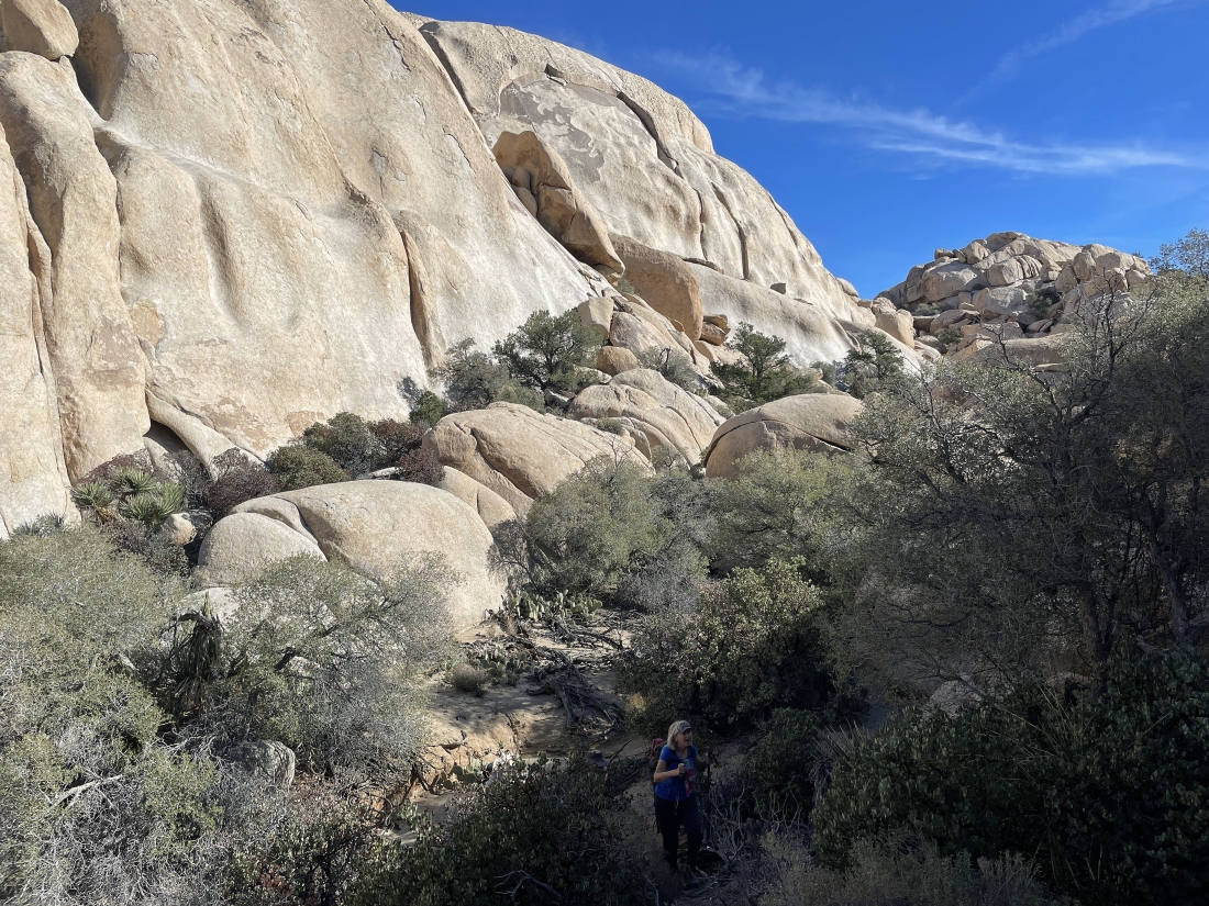
After gaining 50 feet of elevation from the area beyond Barker Lake we have reached a nice shelf where it is easy to dodge the brush... looking back at the Valhalla Dome area on the horizon.
|
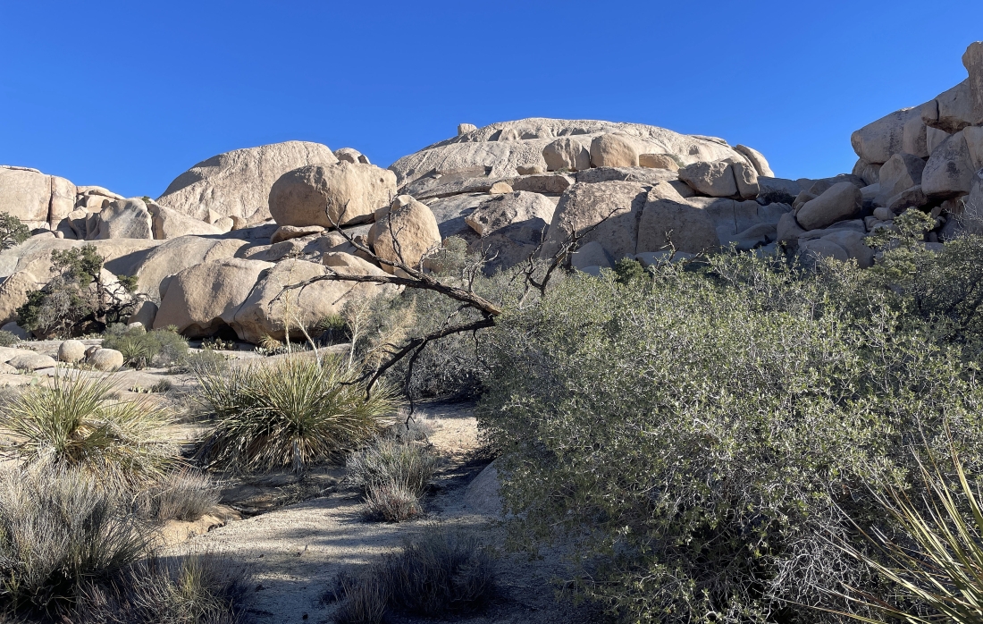
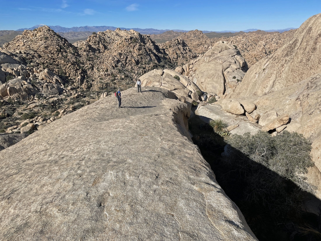
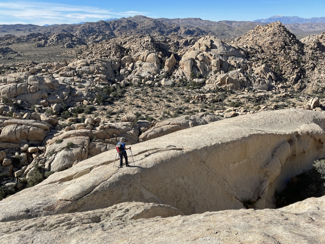
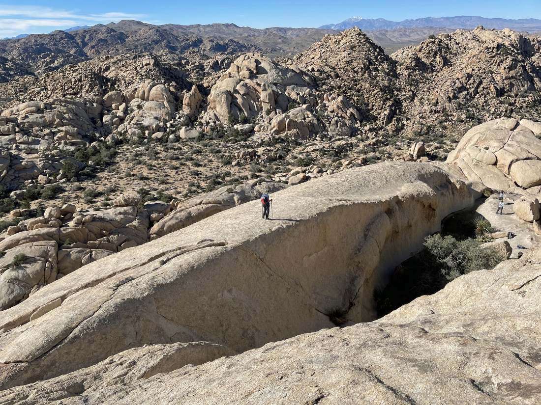
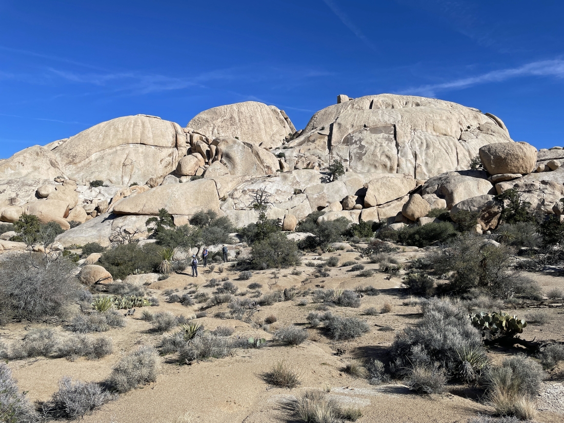
Hiking NW now... here on the west side of the South Astro Dome on the right... with the North Astro Dome on the left... we will continue passing by the domes for a little bit as we try to find a way to get over to the very narrow canyon that is at the base of the domes.
|

Five minutes after the previous photo Denali Girl has found a way to get over to the narrow canyon on the west side of the domes.
|
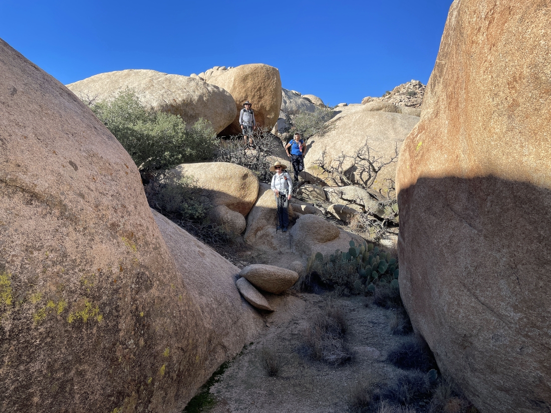
Entering the narrow canyon on the west side of the domes.
|

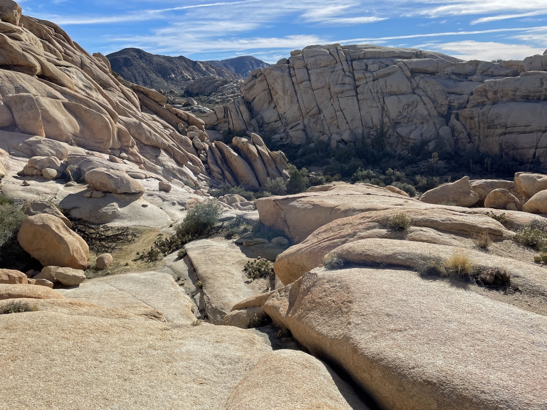
We will hike SE in the narrow canyon for a short distance until we find a route that will get us up to the South Astro Dome.
|

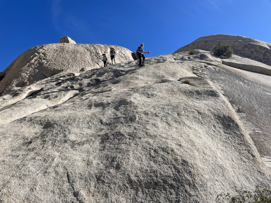
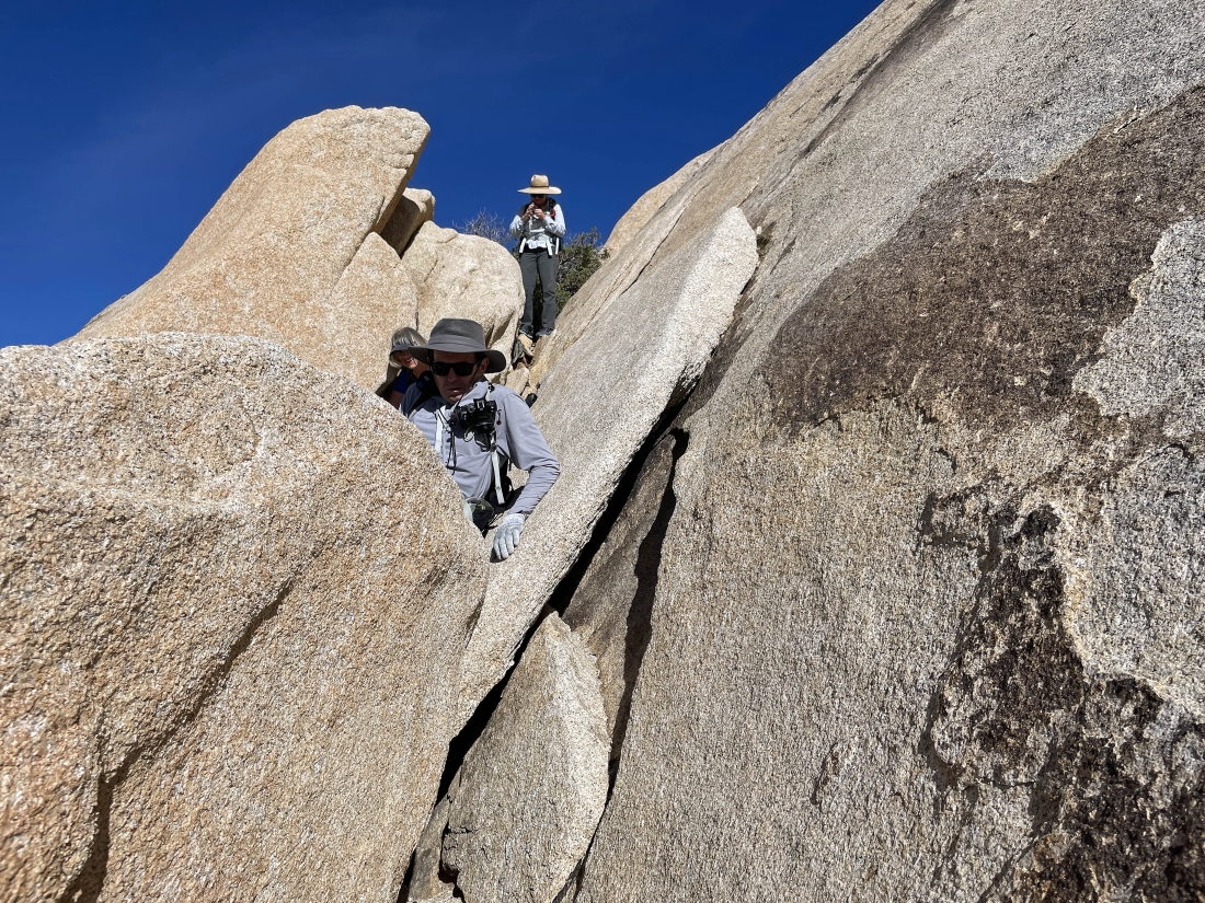
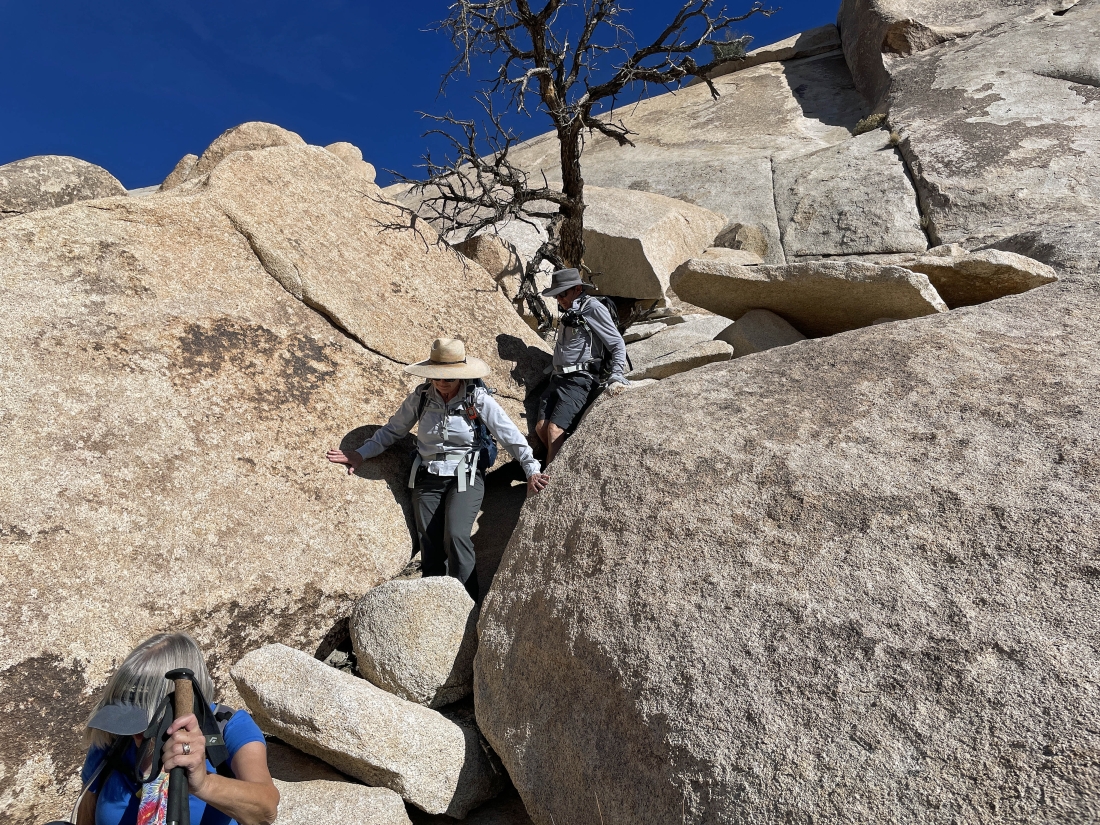
Now scrambling NE up out of the narrow canyon... we will gain the next 120 feet of elevation on this 'Class 3' terrain.
|
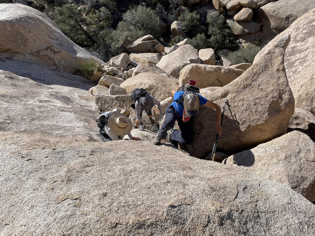
Continuing to work our way up the 120 feet of 'Class 3' terrain.
|
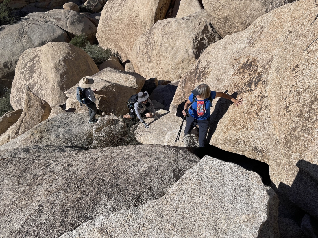
Continuing to work our way up the 120 feet of 'Class 3' terrain.
|
Continuing to work our way up the 120 feet of 'Class 3' terrain.
|
Continuing to work our way up the 120 feet of 'Class 3' terrain.
|

Continuing to work our way up the 120 feet of 'Class 3' terrain.
|
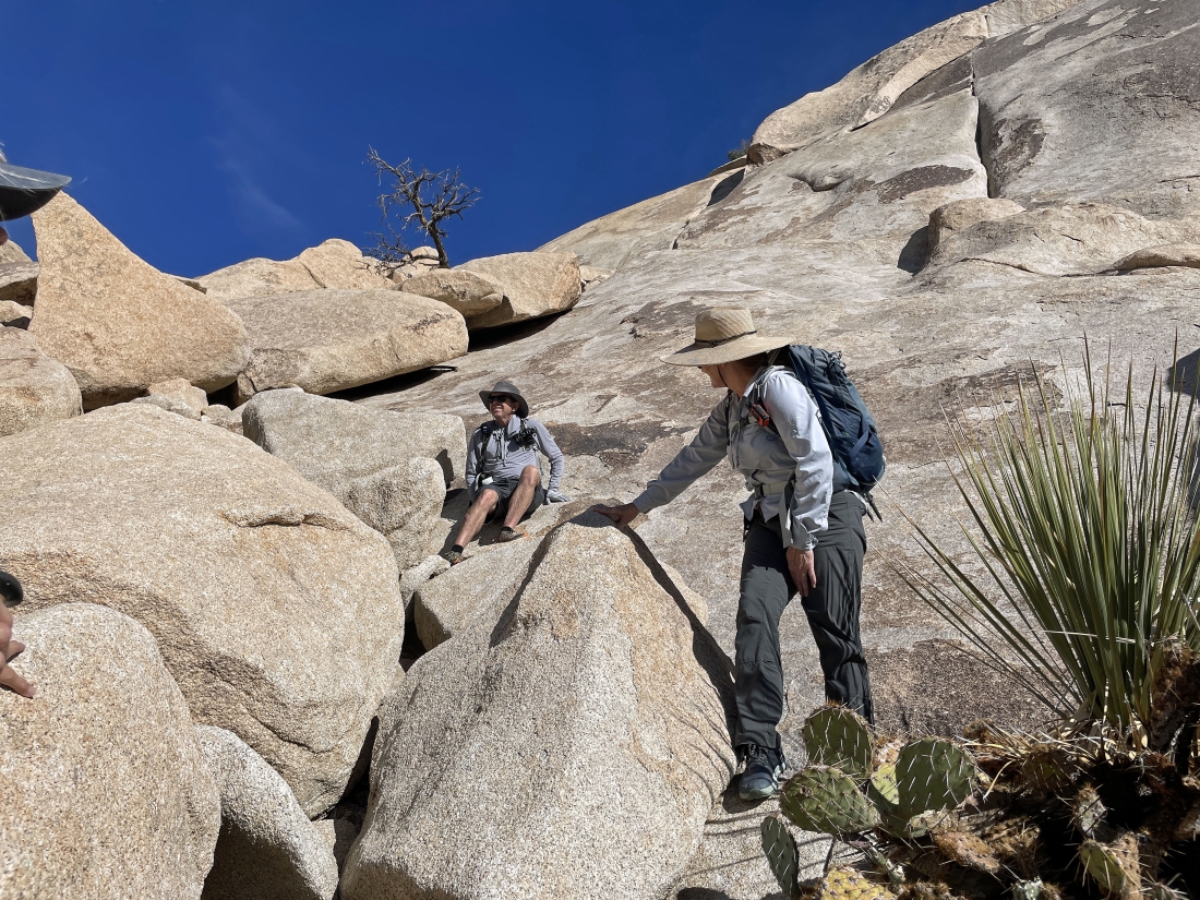
Done with that 120 feet of 'Class 3' elevation gain... here looking south on the far left to Ryan Mountain on the horizon... and across Lost Horse Valley to Inspiration Peak in the Keys View area on the left-center horizon... and looking SW to Quail Mountain on the far right horizon.
|

After dealing with that 120 feet of 'Class 3' elevation gain... we will gain the next 40 feet of elevation on a staircase.
|
Stalker and photoman decided to relax and wait for Denali Girl and me to return... Denali Girl is beginning to hike along the 60 foot ramp section of the hike.
|

Stalker or photoman took this photo of Denali Girl at the end of the 60 foot ramp... getting ready to come up and join me at the top of the second 40 foot staircase.
|
I'm looking down at Denali Girl as she gets ready to come up the second 40 foot staircase to join me on the South Astro Dome summit... Quail Mountain is on the far right horizon... with Inspiration Peak on the far left horizon.
|
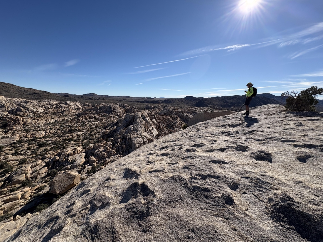
On the 4,624 foot summit of South Astro Dome... looking NE across a lot of the 'Wonderland of Rocks' to Queen Mountain on the horizon in the middle of the photo... with Queen Valley to the right of Queen Mountain.
|
On the South Astro Dome summit... here looking south to Ryan Mountain on the left... and looking beyond Lost Horse Valley to Inspiration Peak on the left-center horizon... and looking SW to Quail Mountain on the right-center horizon.
|

Hard to really see it here... but the Barker Lake and Barker Dam area is in the left-center of the photo... with Ryan Mountain on the horizon directly beyond the dam and lake area.
|

Looking NE across some of the Wonderland of Rocks to Queen Mountain.
|

Denali Girl on the South Astro Dome summit... looking west to the 11,503 foot San Gorgonio Mountain on the far left horizon.
|
Denali Girl took this photo of me on the South Astro Dome summit... I'm looking down at the 'Don Juan Boulder' down in the bottom left corner of the photo... a famous climbing boulder.
|
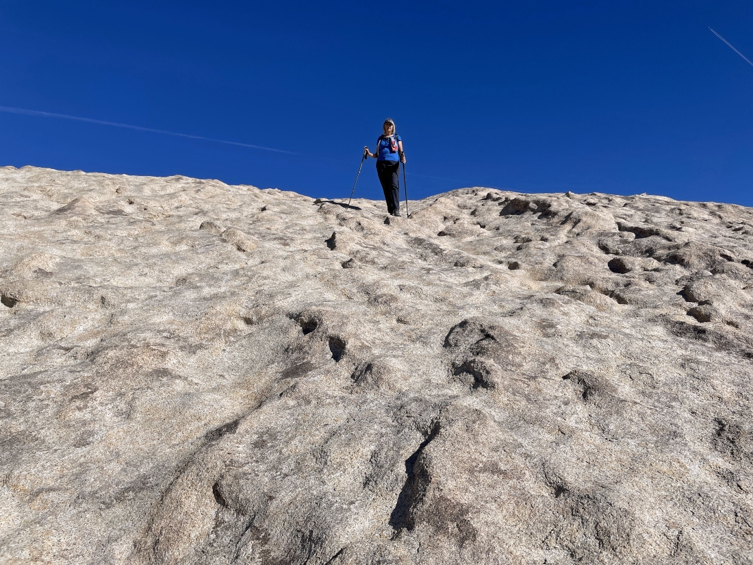
Denali Girl is coming down the staircase that leads up to the South Astro Dome summit.
|
Denali Girl is off of the summit staircase and now heading back down the ramp.
|
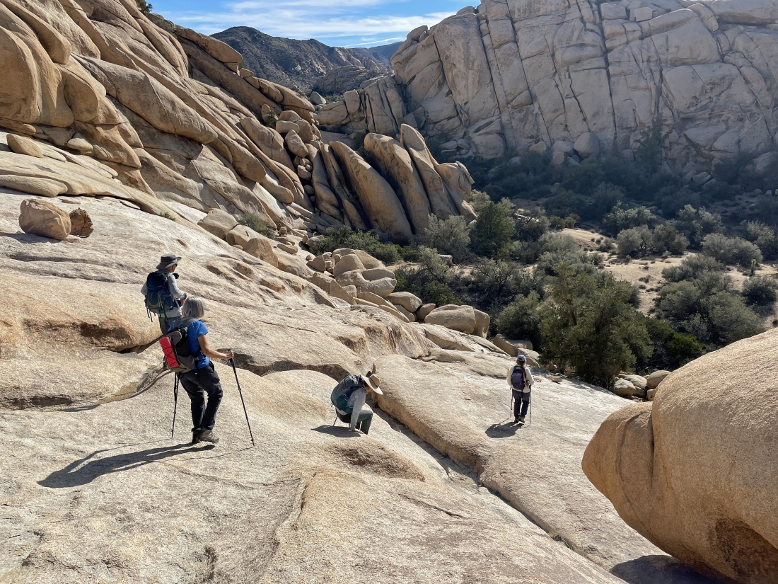
Stalker and photoman are waiting for us to join them for the fun 'Class 3' scramble back down to the narrow canyon.
|
Coming down the first 40 foot staircase that we used earlier.
|

Denali Girl and Stalker coming down that 40 foot staircase.
|
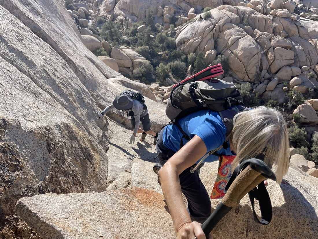
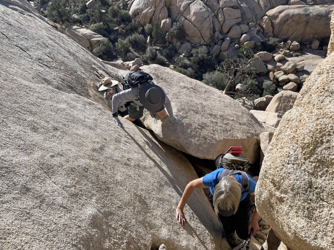
Heading down the 120 foot 'Class 3' scramble.
|
Heading down the 120 foot 'Class 3' scramble.
|
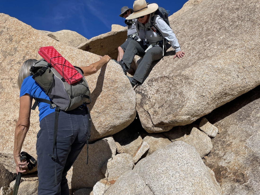
Heading down the 120 foot 'Class 3' scramble.
|
Heading down the 120 foot 'Class 3' scramble.
|
Heading down the 120 foot 'Class 3' scramble... almost back down in the narrow canyon.
|
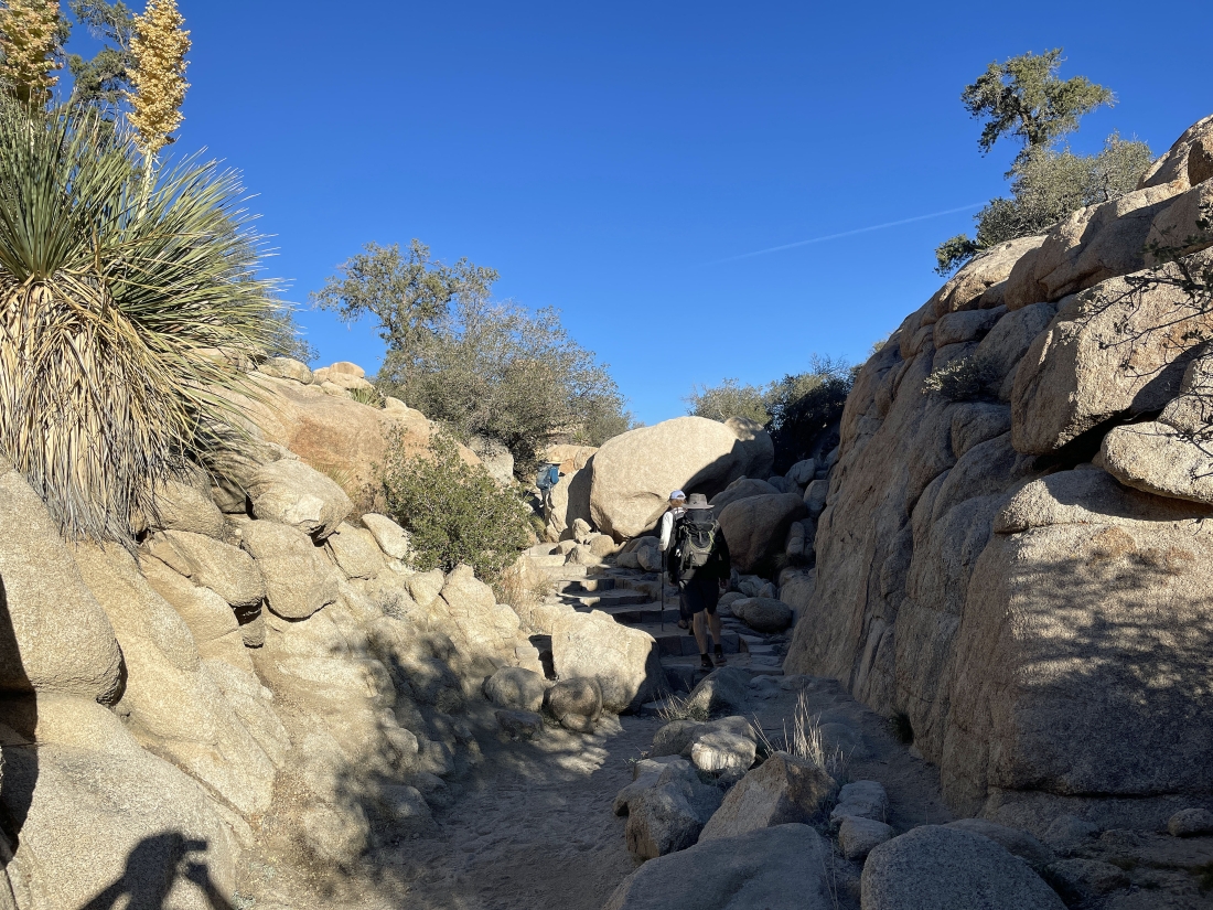
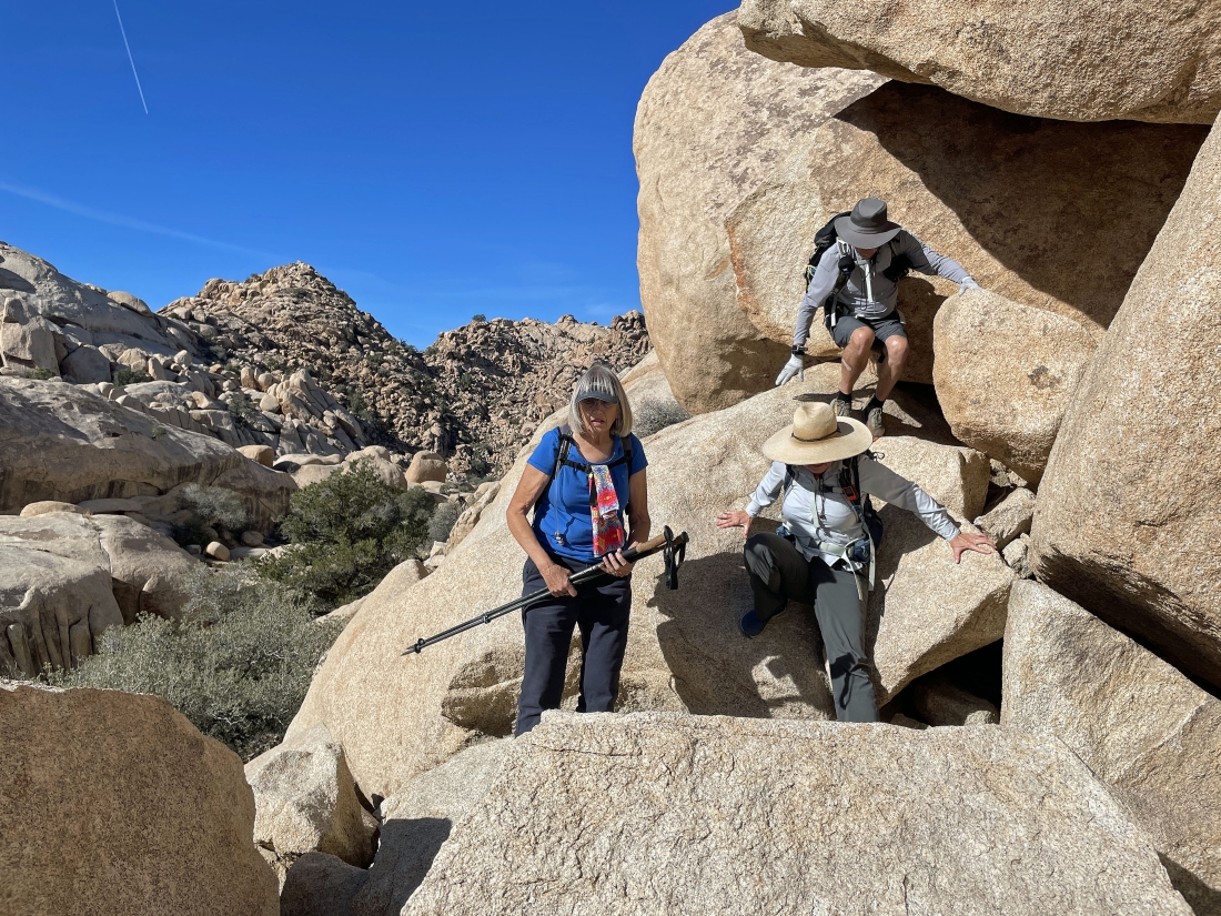
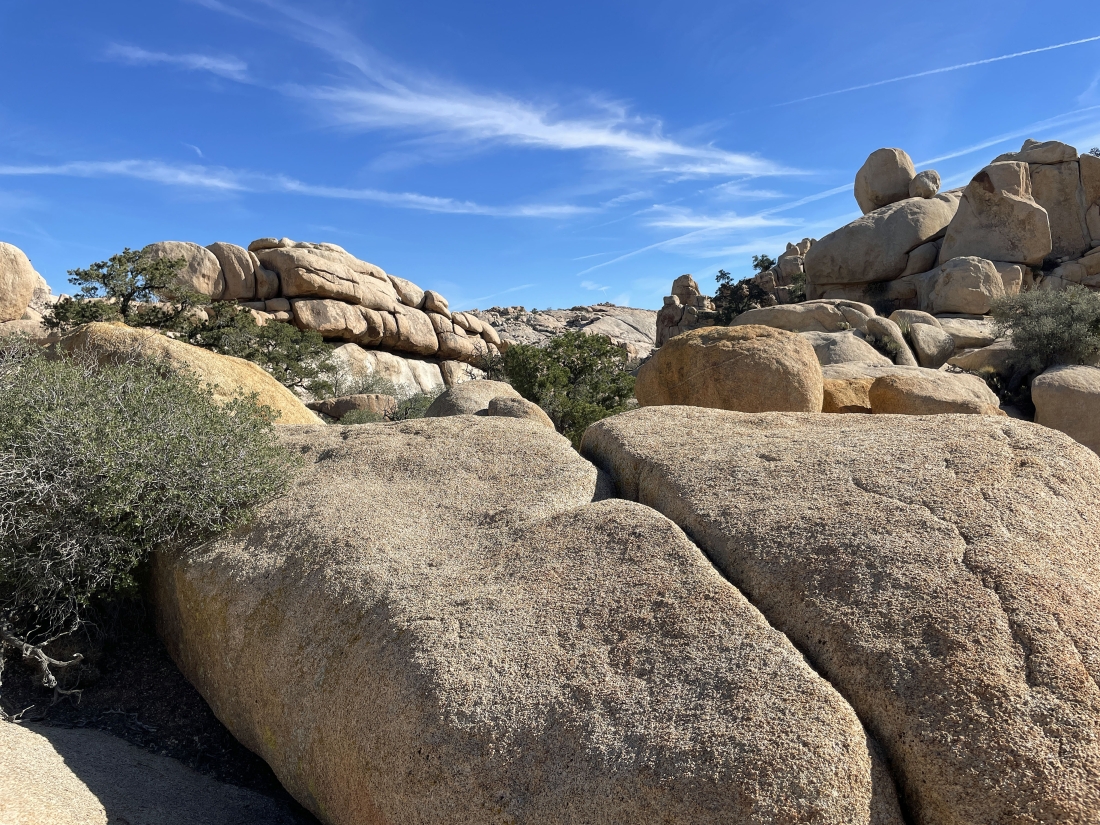
Back in the narrow canyon... and there are a few challenges in the canyon.
|
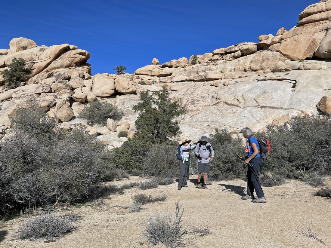
Getting ready to leave the narrow canyon on the west side of the domes.
|
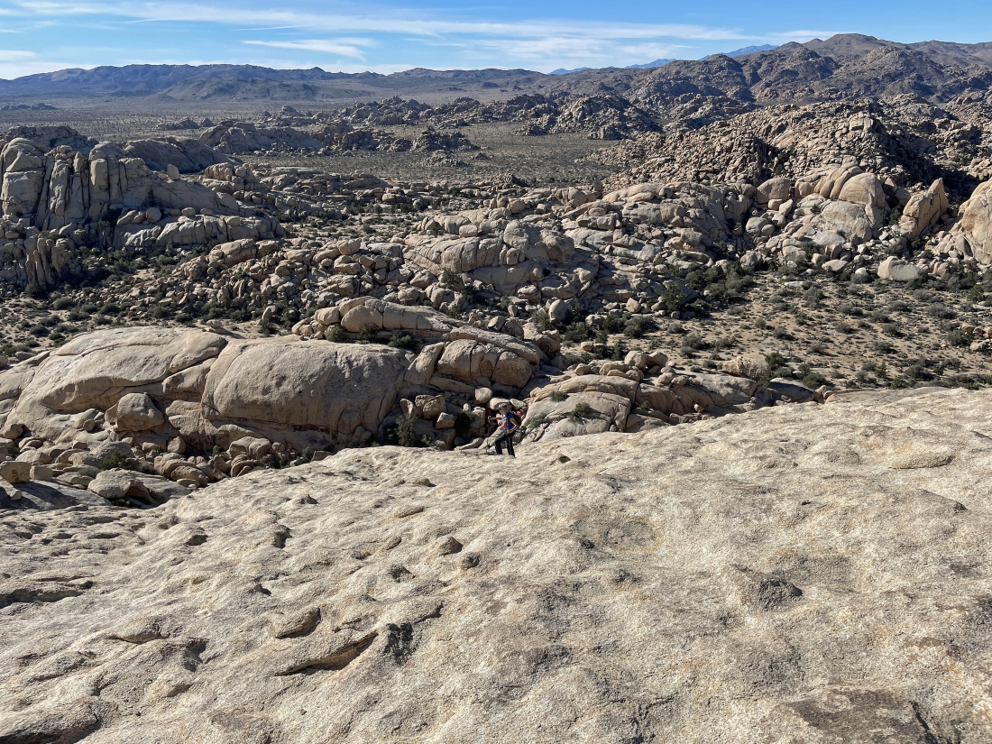
Out of the narrow canyon and heading south on our one-way hike toward Echo Rock... here looking back at the South Astro Dome on the right... with the North Astro Dome in the middle of the photo.
|
Continuing to lose elevation on our way to Echo Rock... here looking SE toward Valhalla Dome on the horizon in the middle of the photo.
|
Continuing to hike south on our way to Echo Rock... navigating over incredible terrain.
|
Continuing to hike south... here looking back at the South Astro Dome on the horizon in the middle of the photo.
|
Almost down to the desert floor... with Ryan Mountain through the gap on the horizon.
|
Almost down to the desert floor.
|
On the desert floor... looking back up at the terrain we just came down.
|
Heading toward Echo Rock.
|
Hiking around the east side of Echo Rock... with Ryan Mountain on the horizon in the middle of the photo.
|
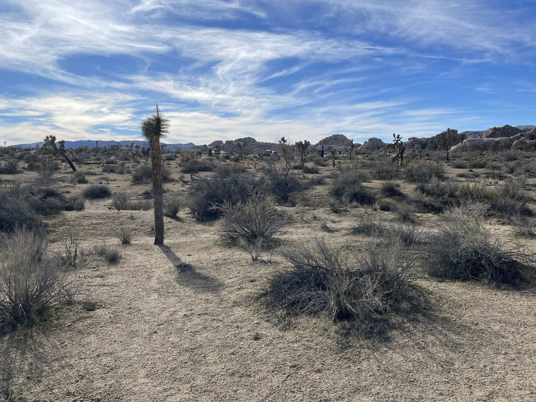
Heading for the 'Echo T' parking lot.
|
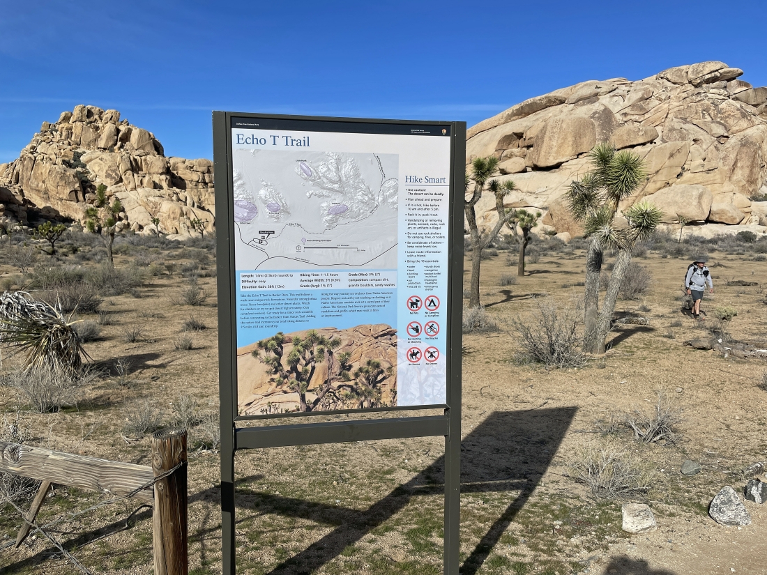
We have arrived at the 'Echo T' parking lot... with Echo Rock on the right... the one-way hike was 3.2 miles, gaining 444 feet of elevation.
|
