Tahquitz Peak - 12.18.2025
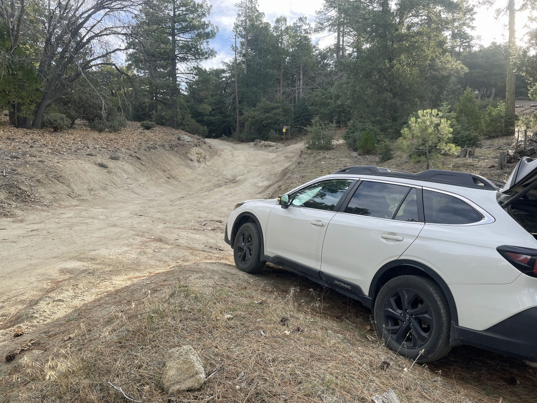
Near the town of Idyllwild, California, we drove for one mile on Forest Road 5S11 (also called the South Ridge Road) and parked on the side of the road... our Subaru has 8.7 inches of clearance... and it required all 8.7 inches of clearance to get here.
|
We walked on Forest Road 5S11 for a little over a tenth of a mile from where we parked to reach the South Ridge Trailhead.
|
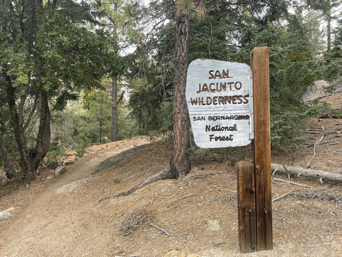
We are at the South Ridge Trailhead but the sign does not mention the 'South Ridge Trail'.
|
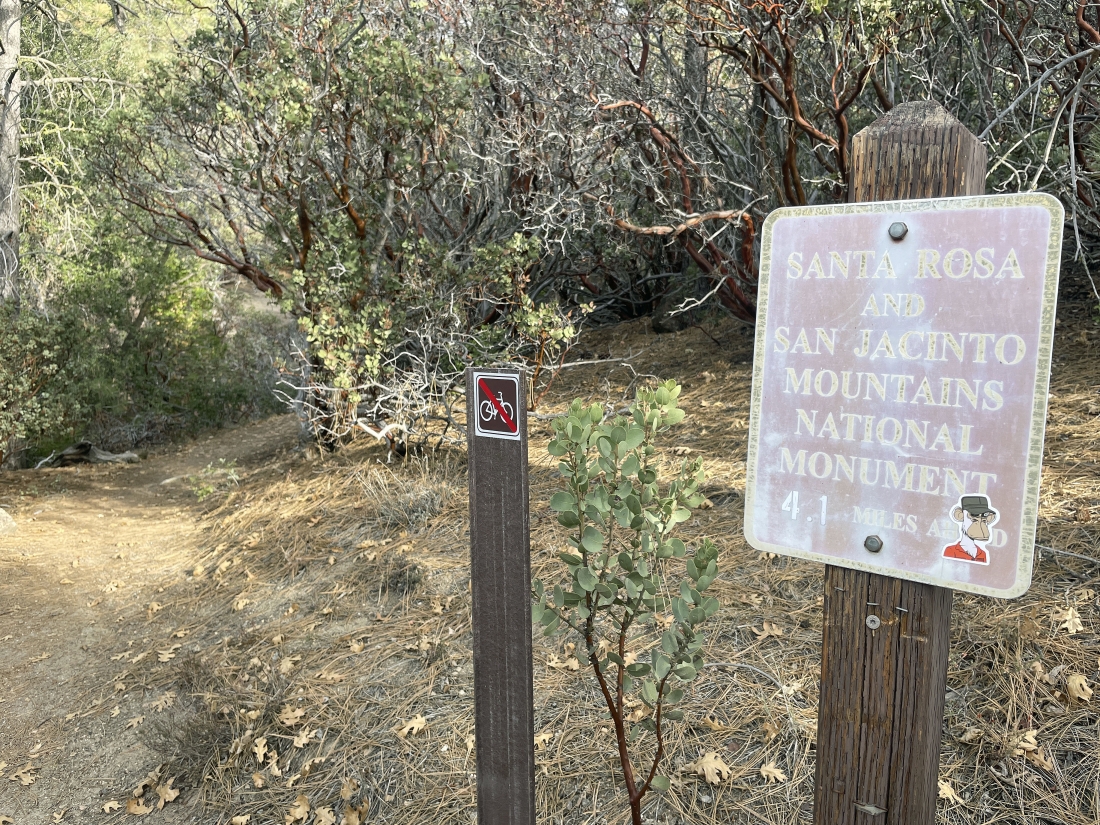
Hiking for 15 minutes after taking the previous photo we are entering the San Jacinto Wilderness.
|
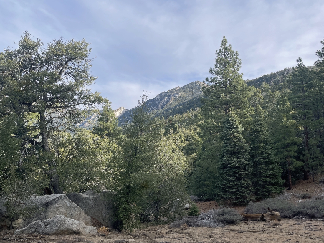
Shortly after entering the San Jacinto Wilderness we got our first view of Tahquitz Peak out there on the horizon.
|
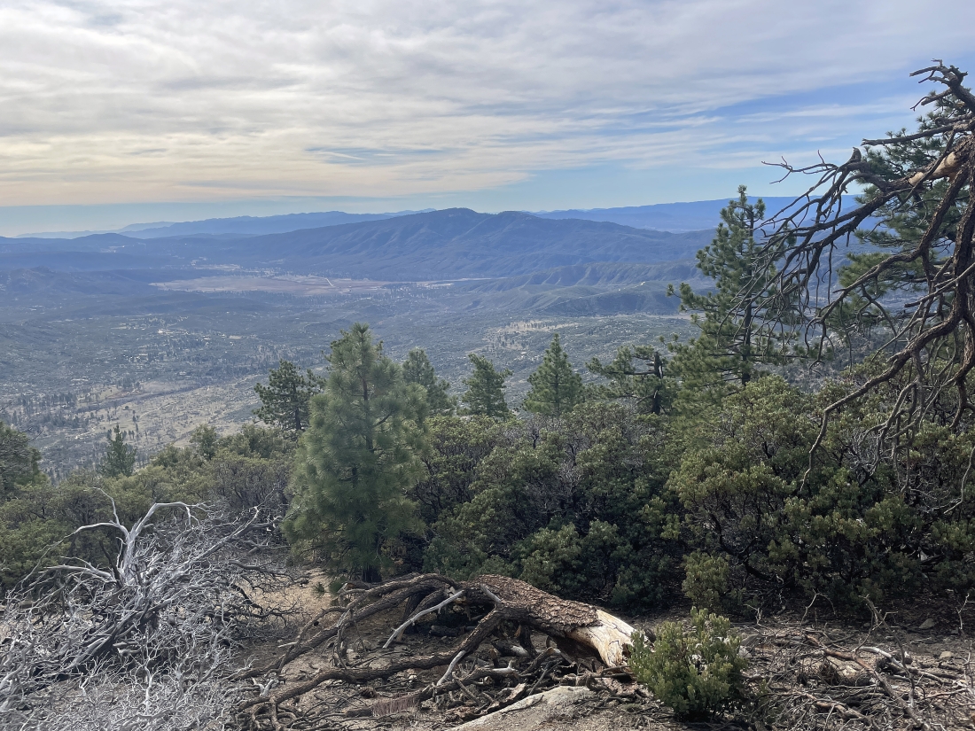
Continuing to gain elevation on the South Ridge Trail... here looking south across May Valley to Thomas Mountain in the middle of the photo.
|
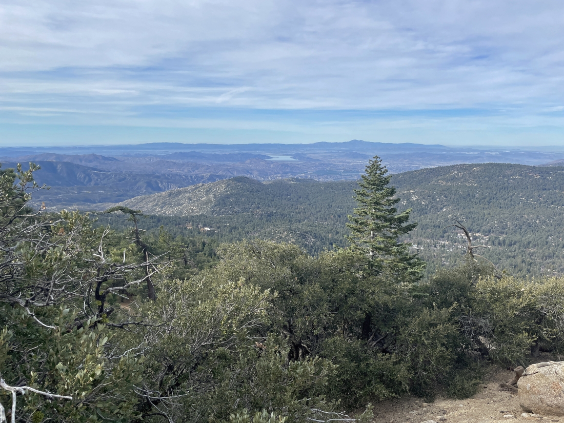
Continuing to gain elevation on the South Ridge Trail... here looking west beyond Strawberry Valley in the foreground to Diamond Valley Lake.
|
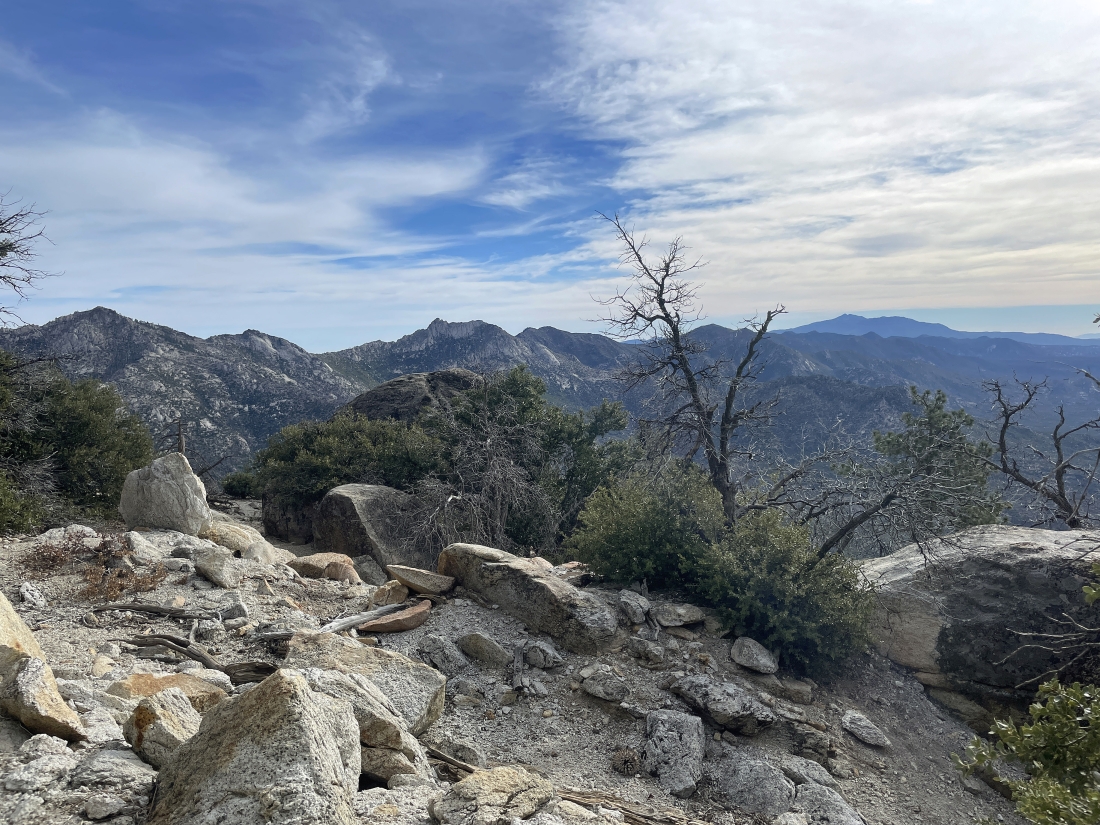
Continuing to gain elevation on the South Ridge Trail... looking out to some of the San Jacinto Mountains that go SE from Tahquitz Peak.
|
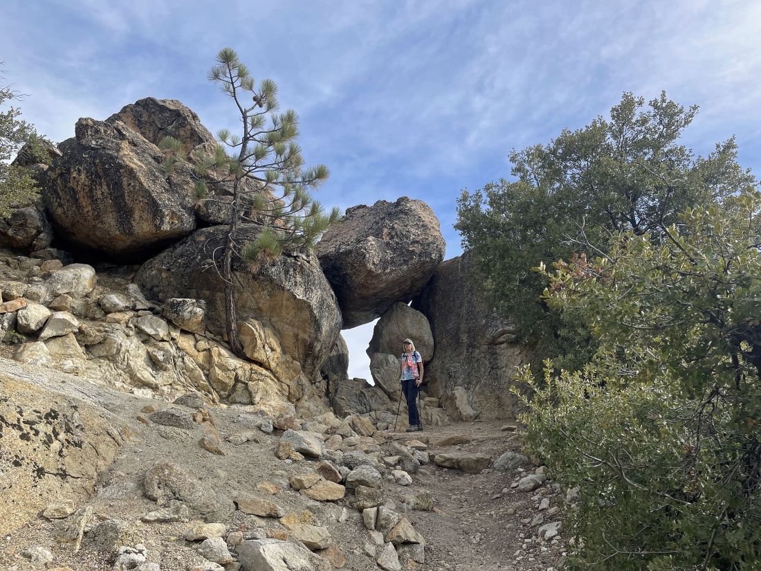
Continuing to gain elevation on the South Ridge Trail... looks like Denali Girl has found a window.
|
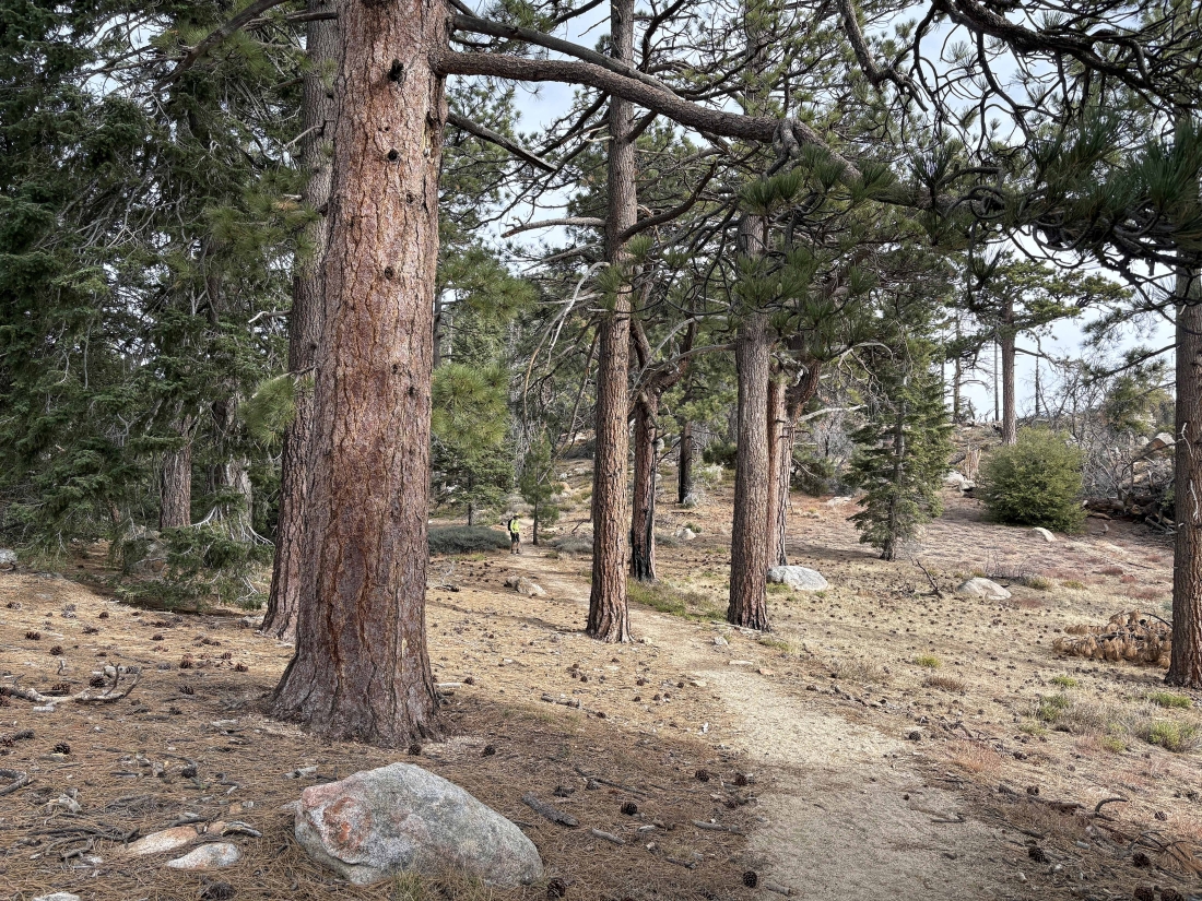
Continuing to gain elevation on the South Ridge Trail... I'm in this photo, but not very big compared to the giant ponderosa pines.
|
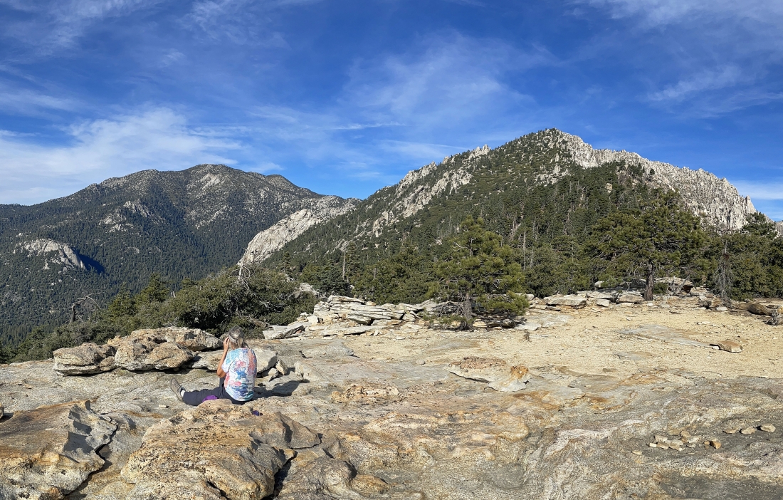
After hiking two miles we have found a smooth rock plateau that offers excellent views... here looking at Suicide Rock in the foreground on the far left edge of the photo... with Tahquitz Peak in the right foreground... the rock formation directly above Denali Girl's head in the distance is 'Lily Rock'... with San Jacinto peak and other San Jacinto mountains on the left horizon.
|

There were tons of manzanita trees on this hike.
|
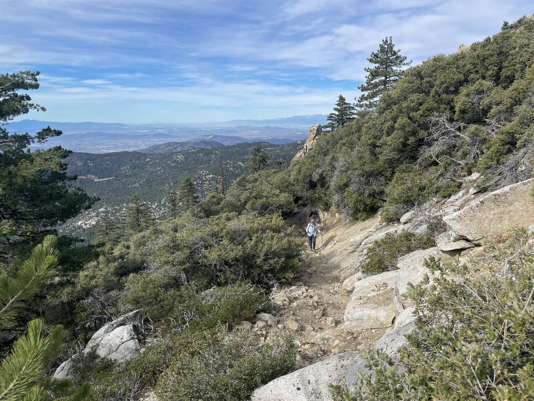
Continuing to gain elevation on the South Ridge Trail... as we gain 950 feet of elevation on the last mile to the summit that is well switch-backed.
|
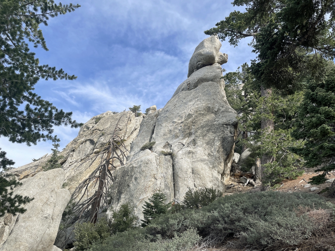
There are plenty of beautiful rock formations as we switch-back our way up to the summit of Tahquitz Peak.
|
Continuing to gain elevation on the South Ridge Trail... looking west... and the ocean isn't really that far away.
|
Continuing to gain elevation on the South Ridge Trail... looking across May Valley on the left to Thomas Mountain... and looking across Strawberry Valley on the right to Diamond Valley Lake on the extreme far right.
|
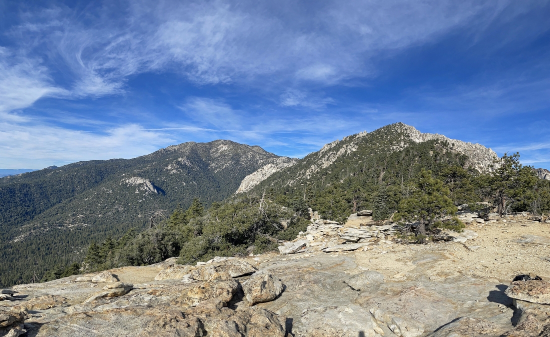
Nearing the Tahquitz Peak summit... here looking beyond these rock formations to the higher mountains in the San Jacinto Mountains.
|
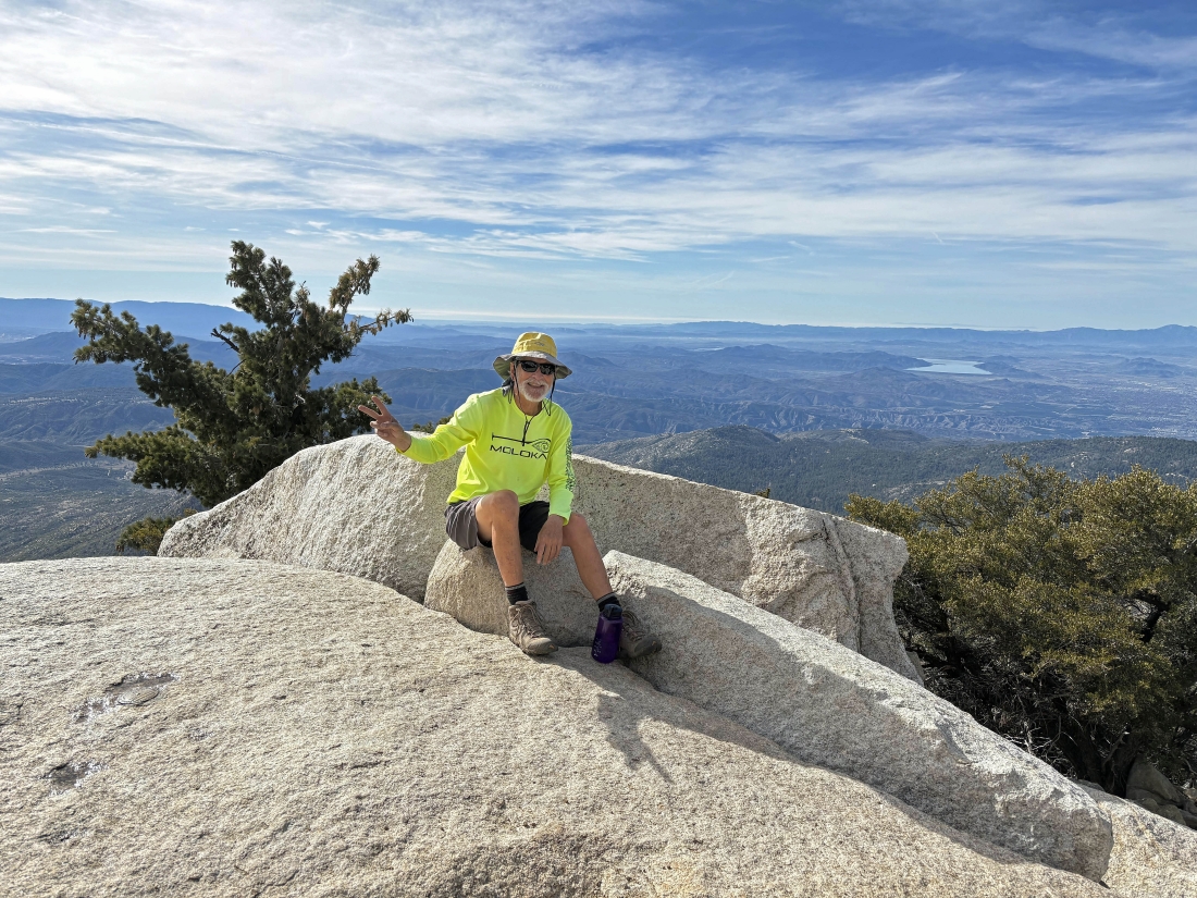
After gaining 2,400 feet of elevation in 3.7 miles we have reached the 8,846 foot summit of Tahquitz Peak.
|
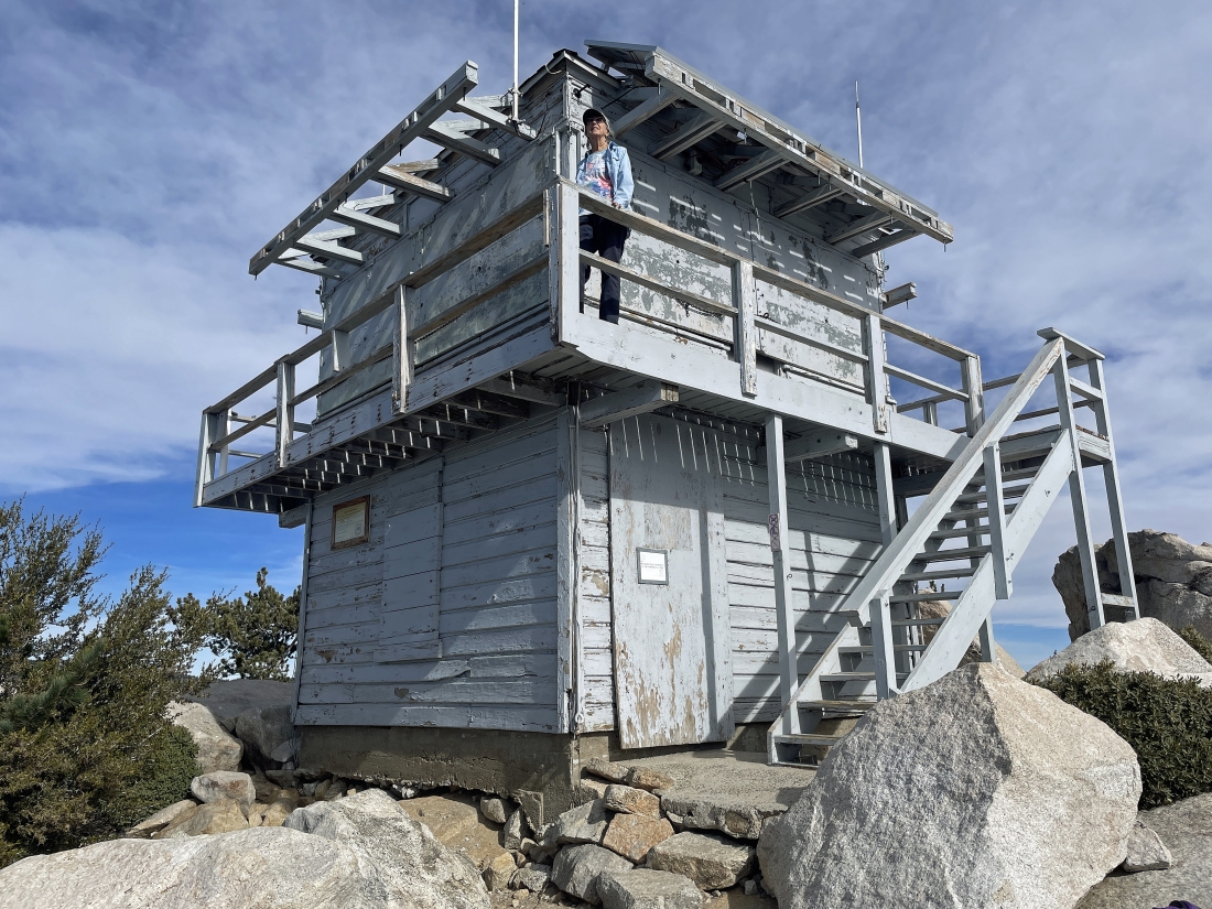
Denali Girl went up to the balcony on the fire lookout that was built in 1937.
|
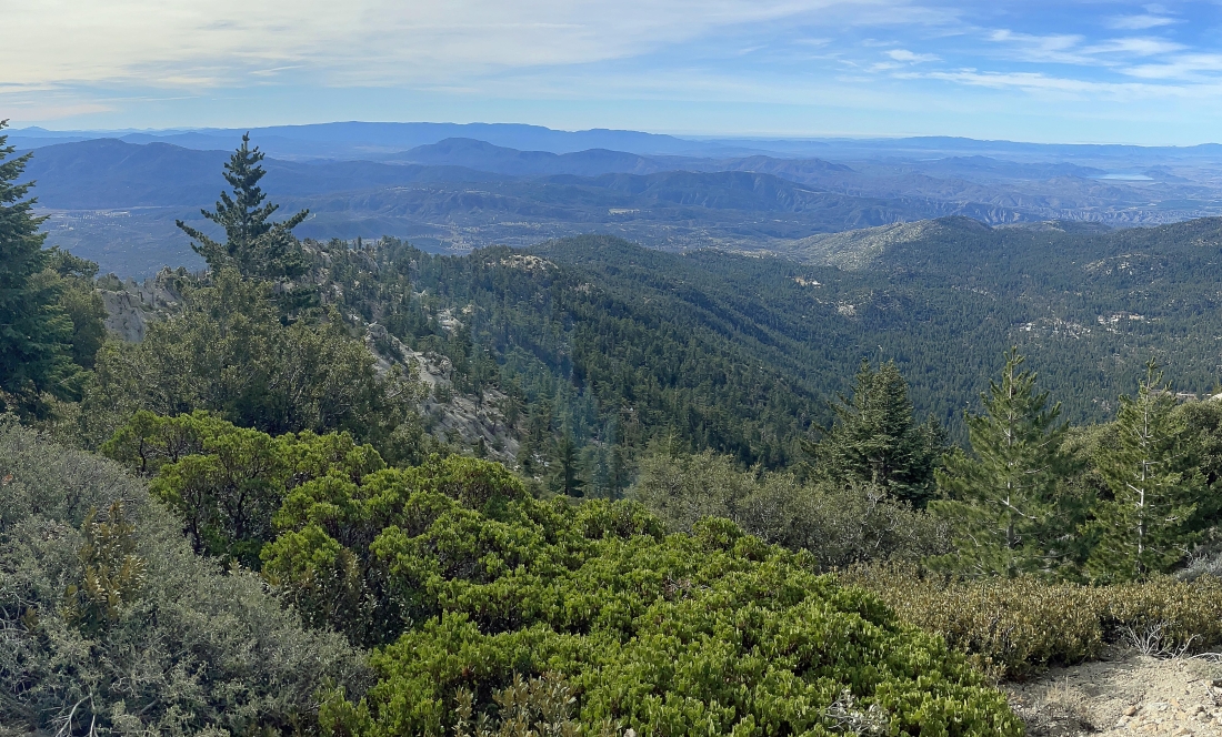
On the lookout deck... hard to see... but looking SE on the far left down Coachella Valley to the Salton Sea... and south across May Valley to Thomas Mountain in the center of the photo... and you can see Lake Hemet shining just below Thomas Mountain.
|

Looking north from the fire lookout... and I believe that the 10,834 foot San Jacinto Peak is the highest point on the horizon.
|
Still on the fire lookout... on the left we are looking across Strawberry Valley to the Diamond Valley Lake... with the high peaks in the San Jacinto Mountains on the far right horizon.
|
Tracing our steps back to the car we stopped briefly on the smooth rock plateau to enjoy views of Suicide Rock, Lily Rock, the high peaks of the San Jacinto Mountains and Tahquitz Peak in the foreground.
|
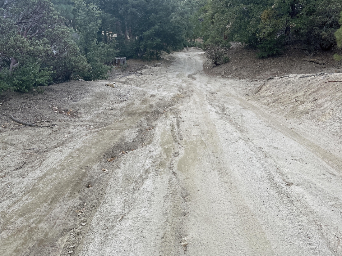
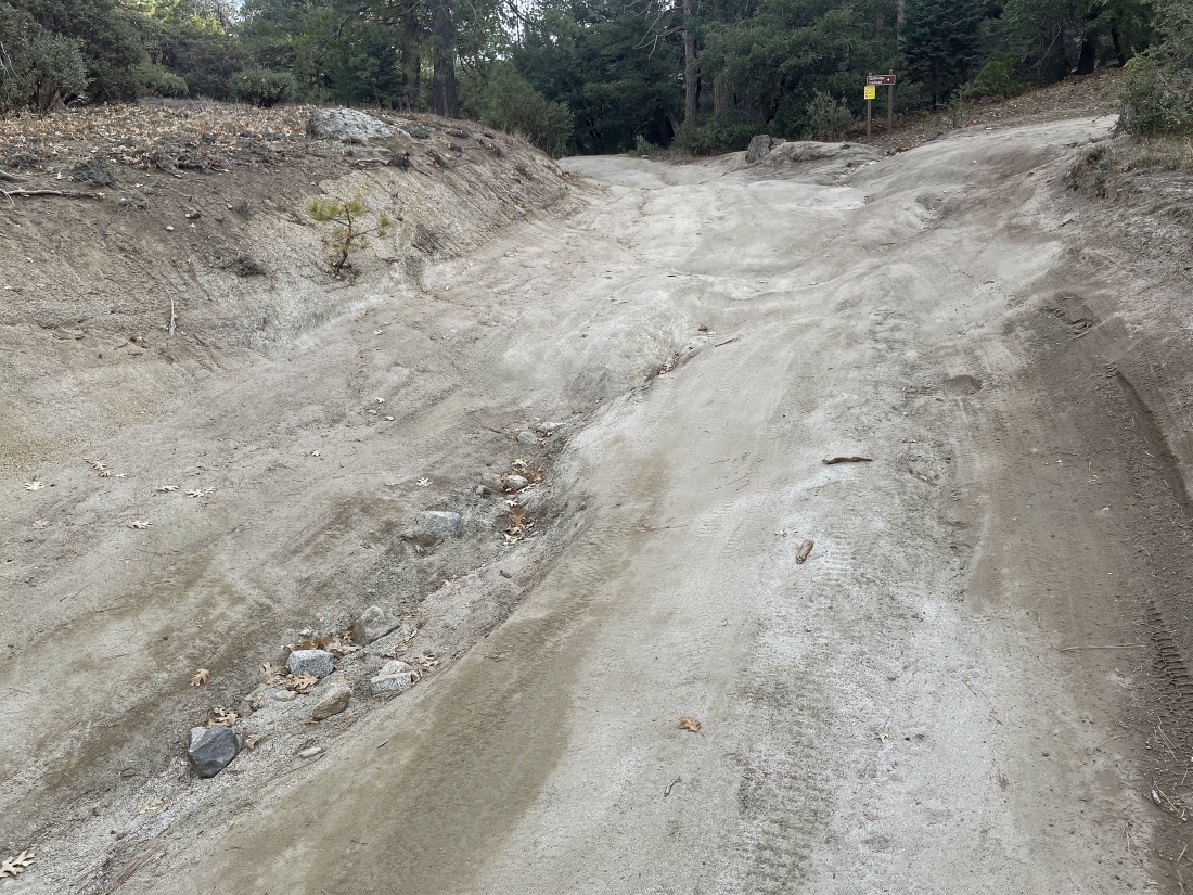
Off of the South Ridge Trail and back on Forest Road 5S11... it really doesn't look all that bad in this photo.
|

Almost back to the car... the total hike was 7.4 miles, gaining 2,466 feet of elevation.
|
