Astro Domes Circumnavigation - 1.1.2026
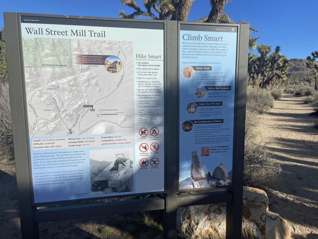
We parked in a dirt parking lot located a quarter mile NE of the very popular paved parking lot for Barker Dam and started hiking NE on the Wall Street Mill Trail. The dirt parking lot is also used for overflow parking for the very popular Barker Dam hike.
|
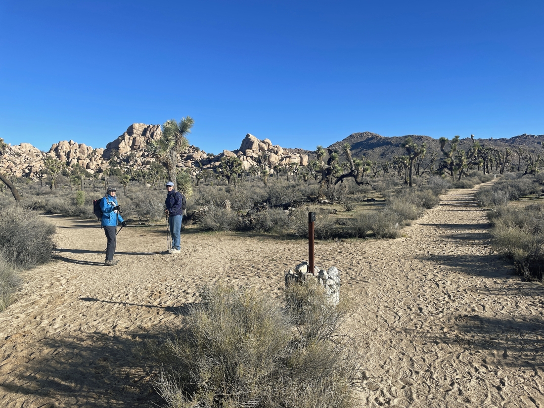
After hiking on the Wall Street Mill Trail for less than a tenth of a mile we turned left on an unsigned path while the Wall Street Mill Trail continued on the right toward Queen Mountain on the right horizon.
|
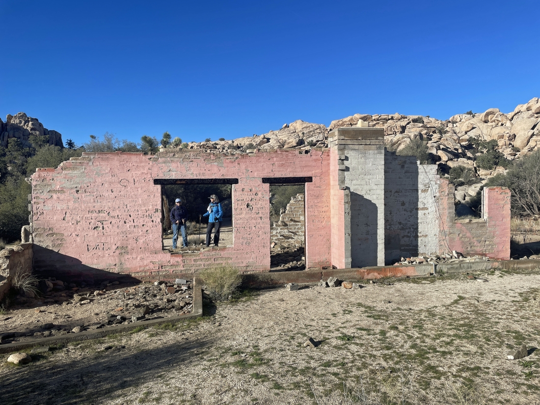
A tenth of a mile since leaving the Wall Street Mill Trail brought us to the Worth Bagley homestead... also known as the 'Pink House'.
|
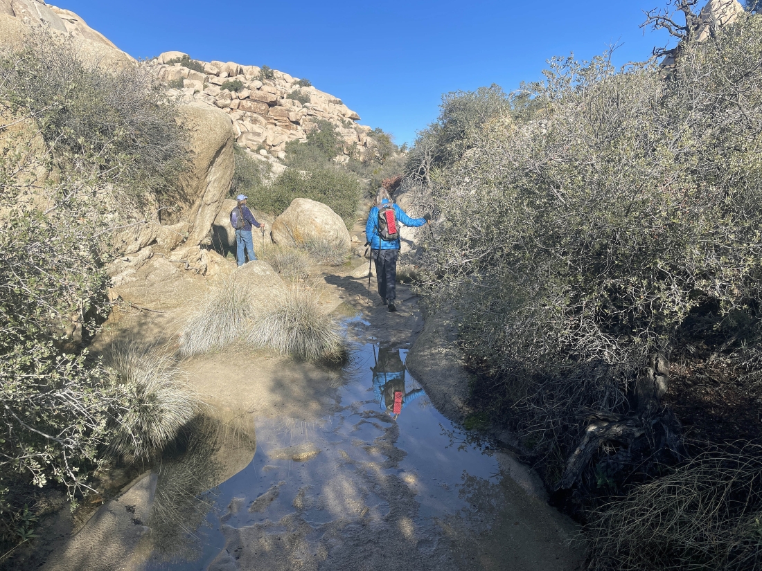
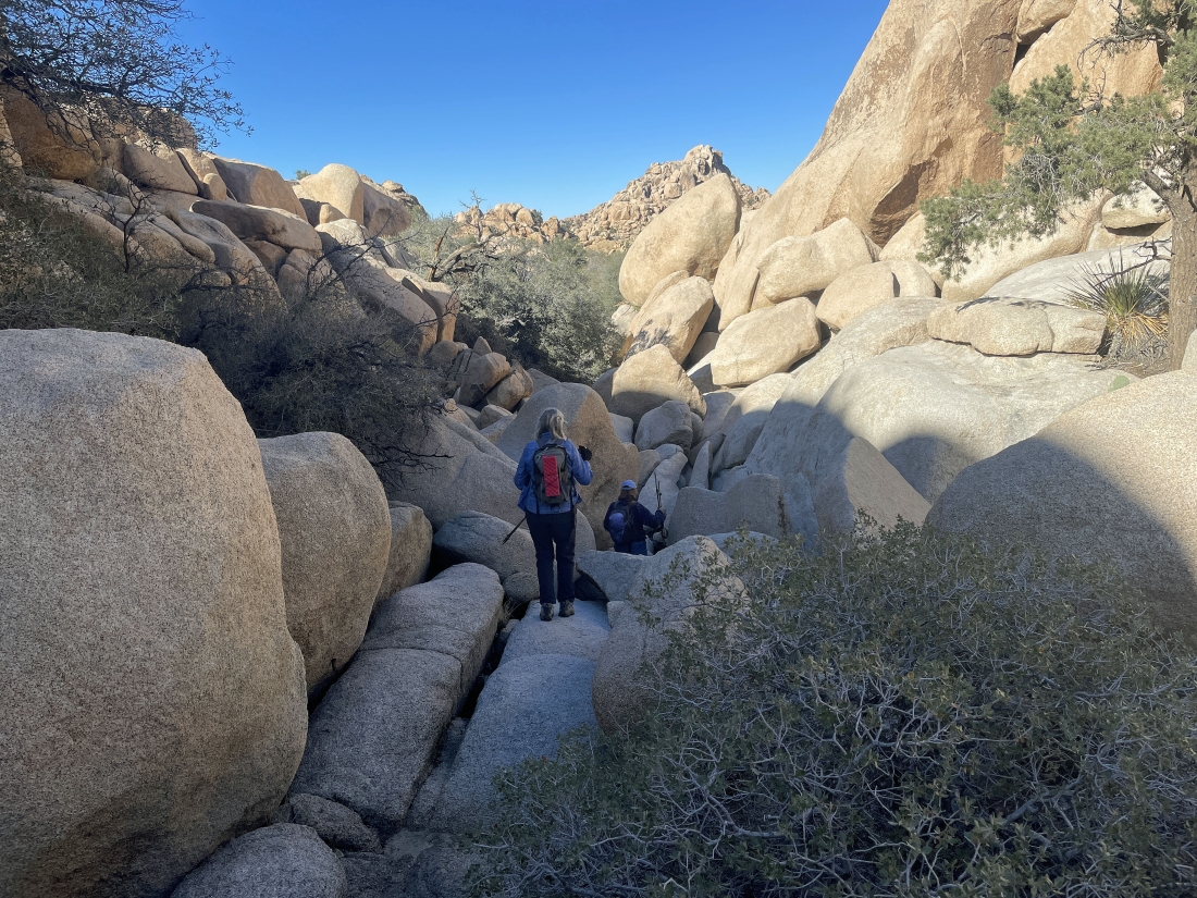
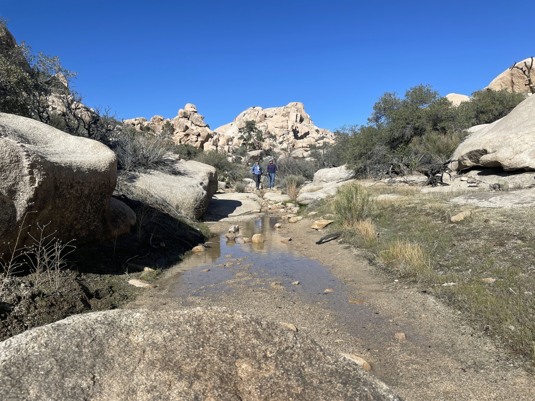
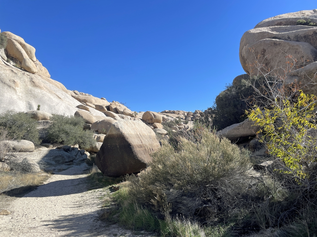
We entered the 'Wonderland of Rocks' from behind the Pink House... there was a lot more water on the route than normal.
|
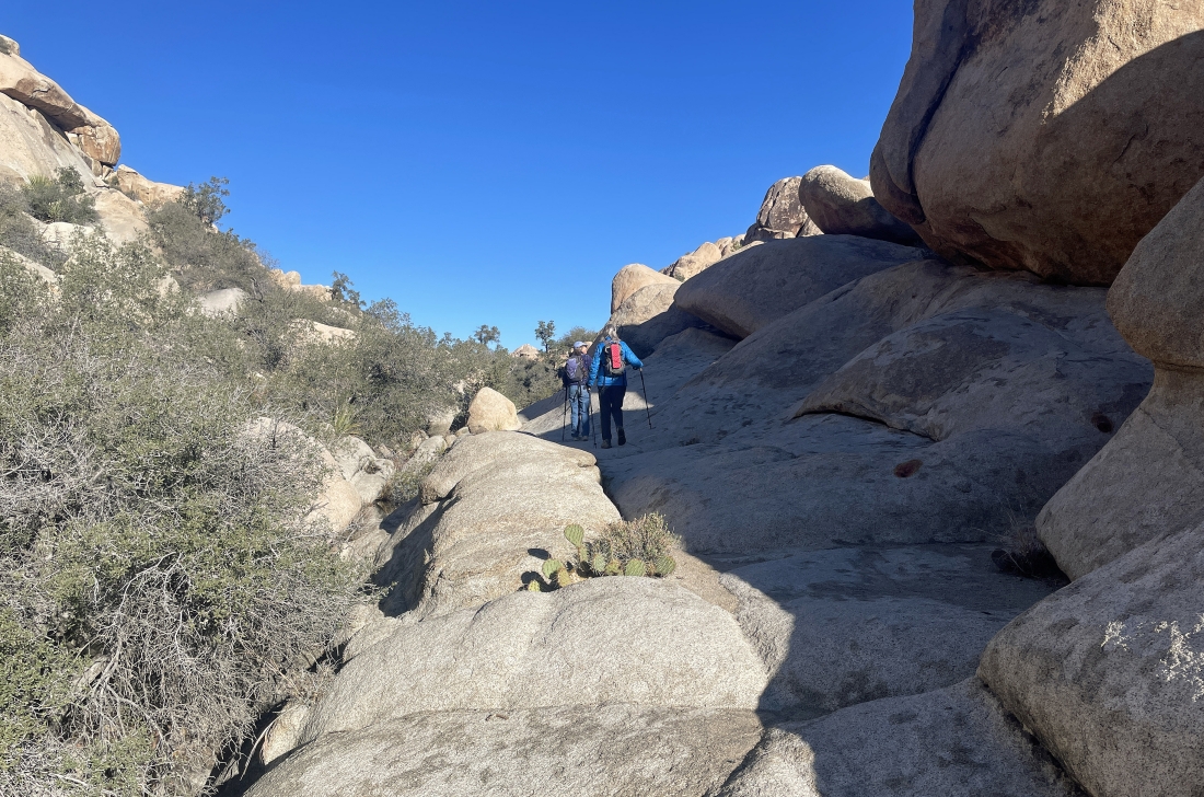
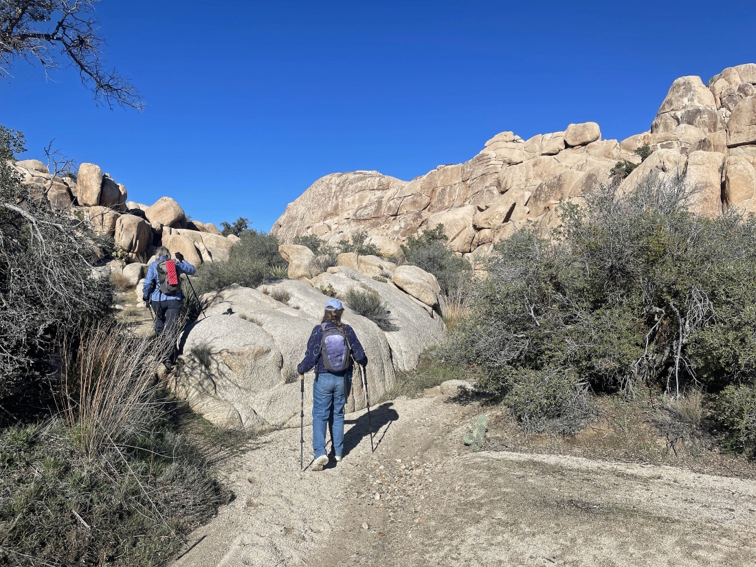
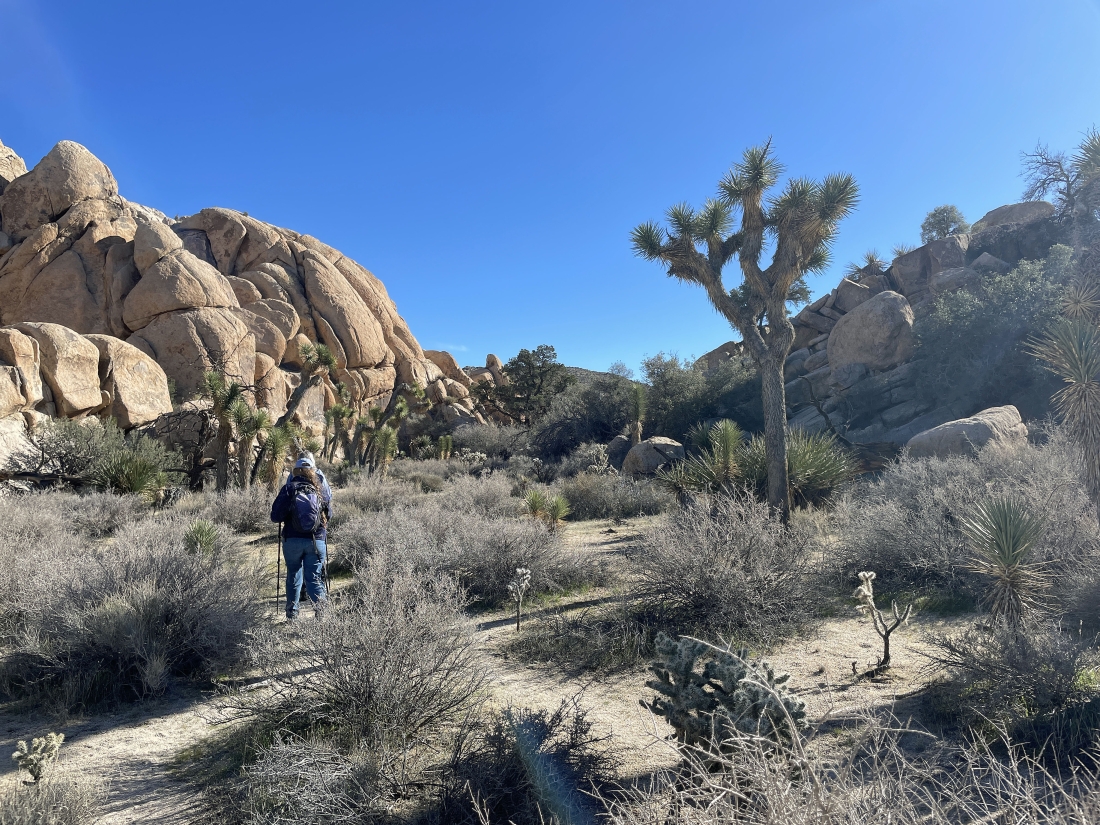
Hiking north into the Wonderland of Rocks.
|
|
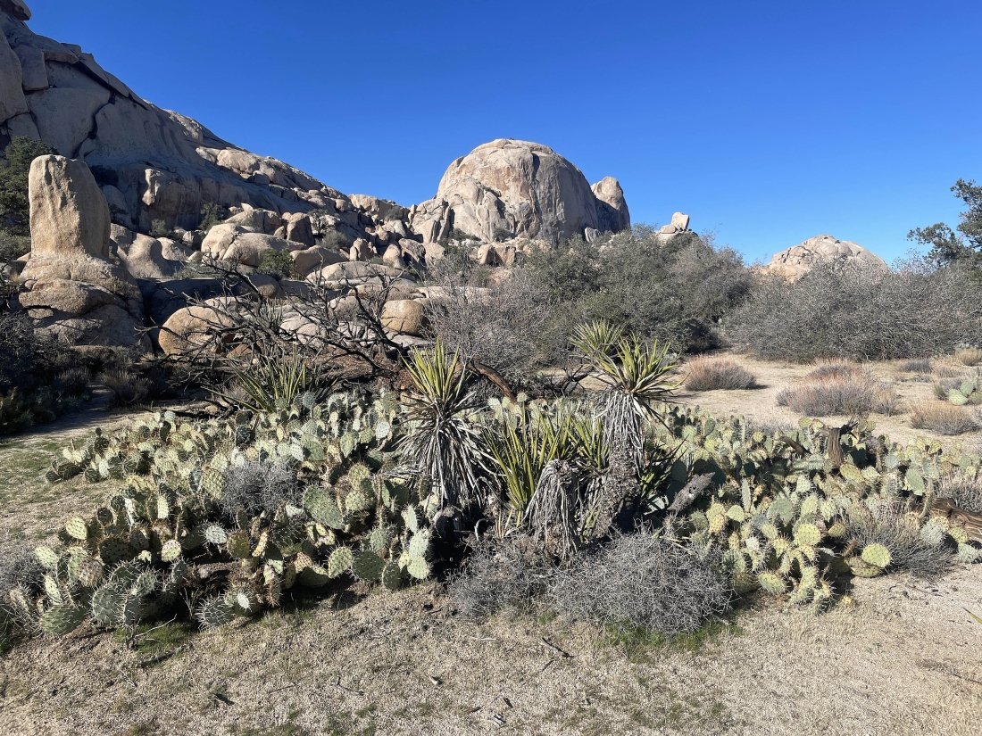
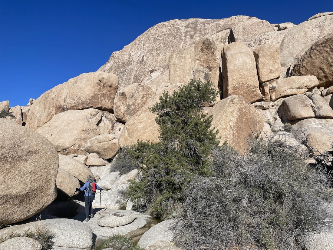
After hiking a total of .7 miles we are passing by the 'Shark Rock'.
|
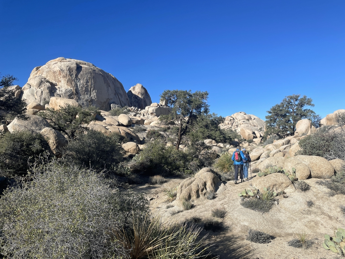
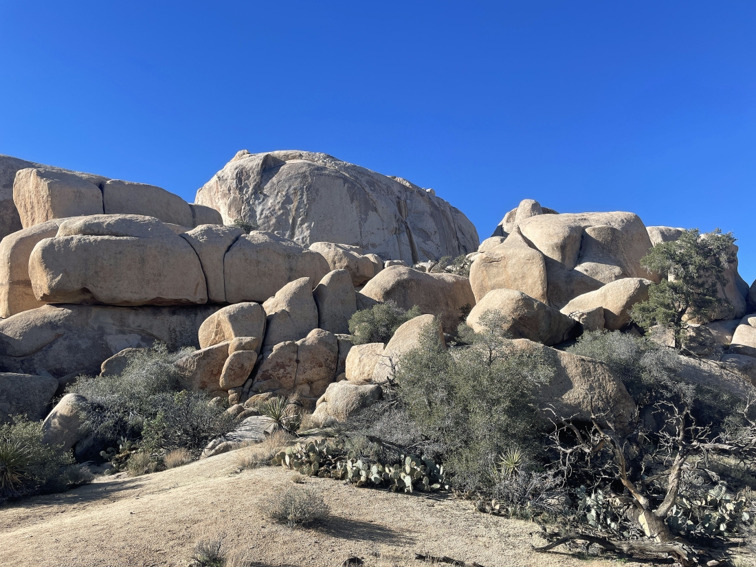
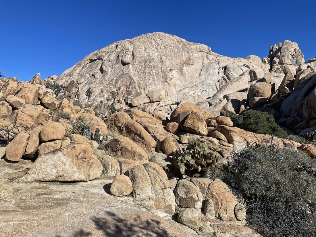
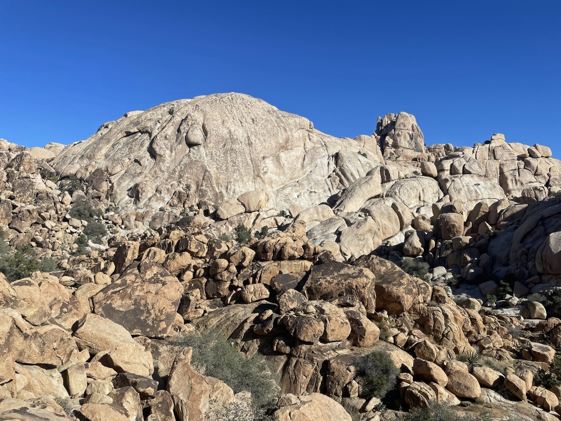
After hiking a total of .8 miles we got our first nice view of the Astro Domes... with the massive South Astro Dome in the middle of the photo... and the pointy North Astro Dome behind the South Astro Dome.
|
Getting ready to be on the east side of the Astro Domes.
|
On the east side of the Astro Domes... hiking toward 'The Camel' on the horizon in the middle of the photo.
|
On the east side of the Astro Domes... with the South Astro Dome on the horizon... while the North Astro Dome is blocked by the rock formation in the right foreground.
|
|
On the east side of the two Astro Domes.
|
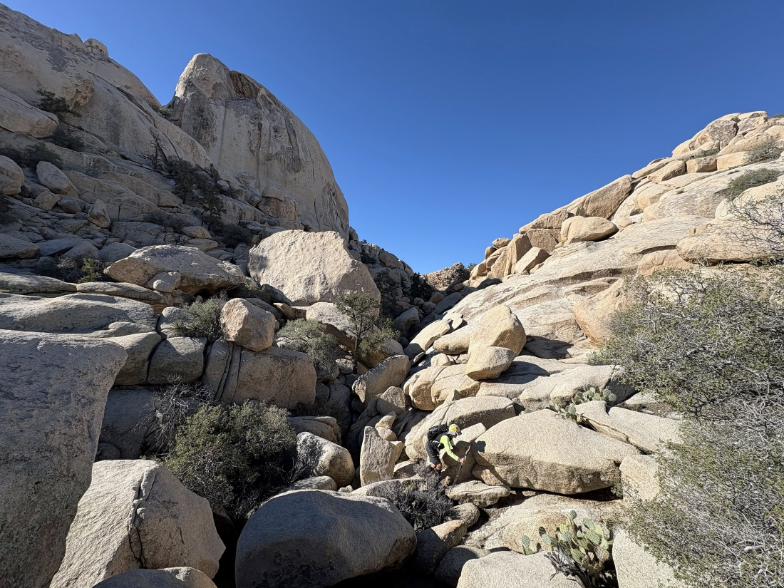
We were going to try and hike through this low area along the north side of the North Astro Dome... but after spending 20 minutes trying to find a route we gave up and continued to hike NW.
|
Hiking NW past the Astro Domes and heading toward the Lenticular Dome out there in the middle of the photo.
|
Continuing to hike NW and getting closer to the Lenticular Dome.
|
Continuing to hike NW and getting closer to the Lenticular Dome.
|
Looking back at the Lenticular Dome as we now hike SW... trying to work our way around to the west side of the Astro Domes.
|
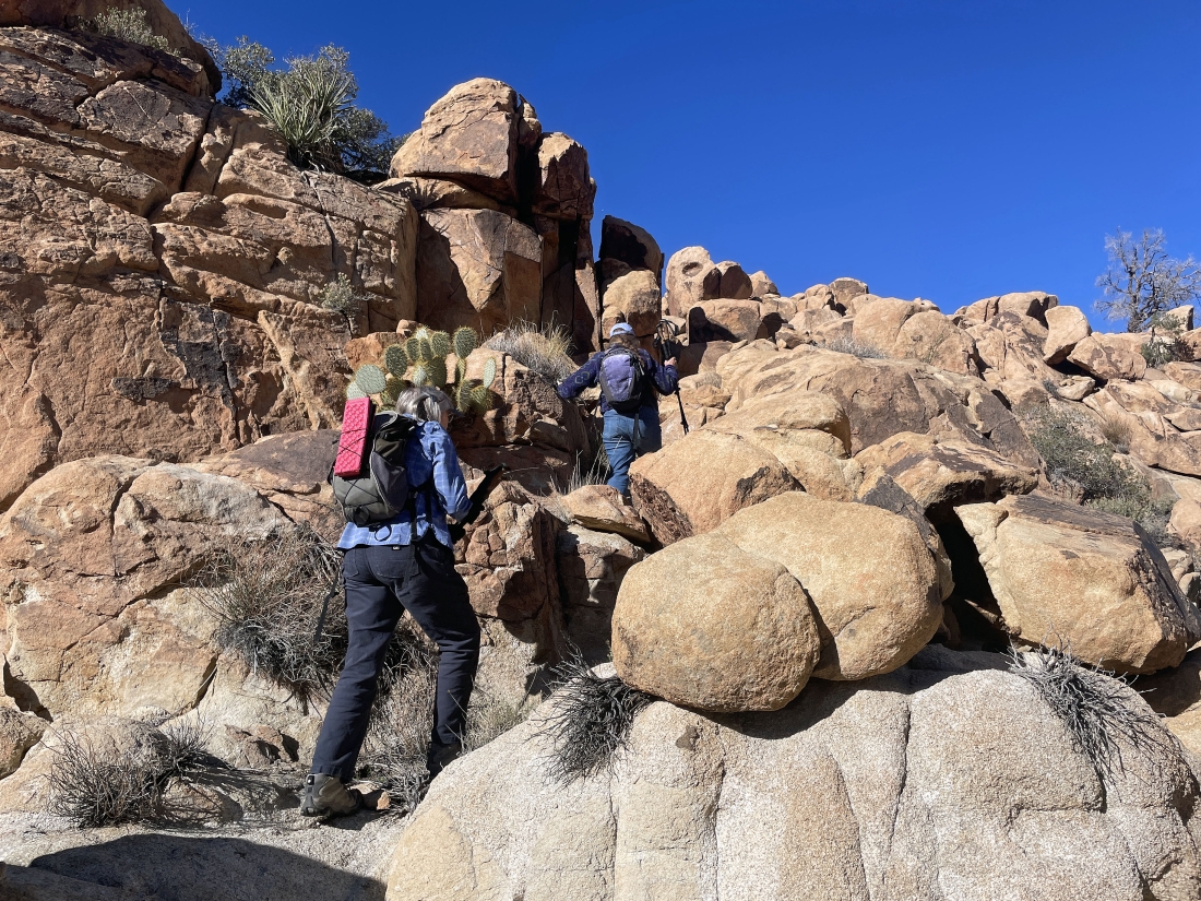
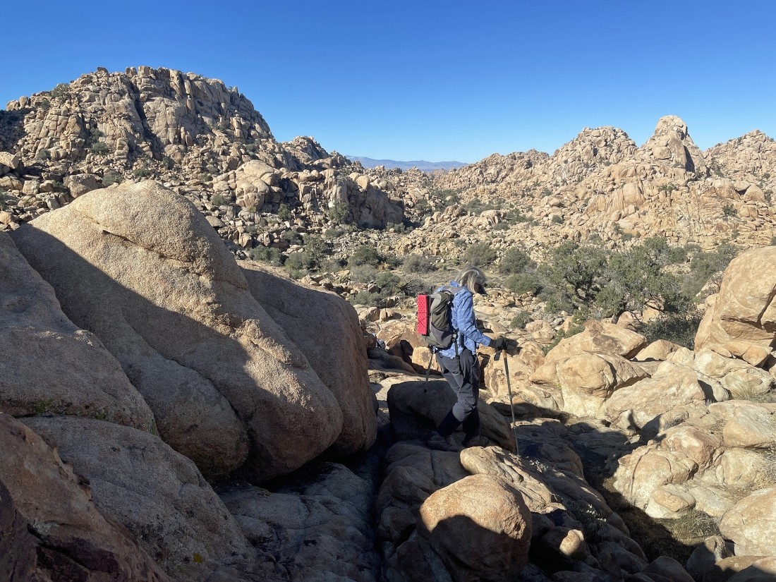
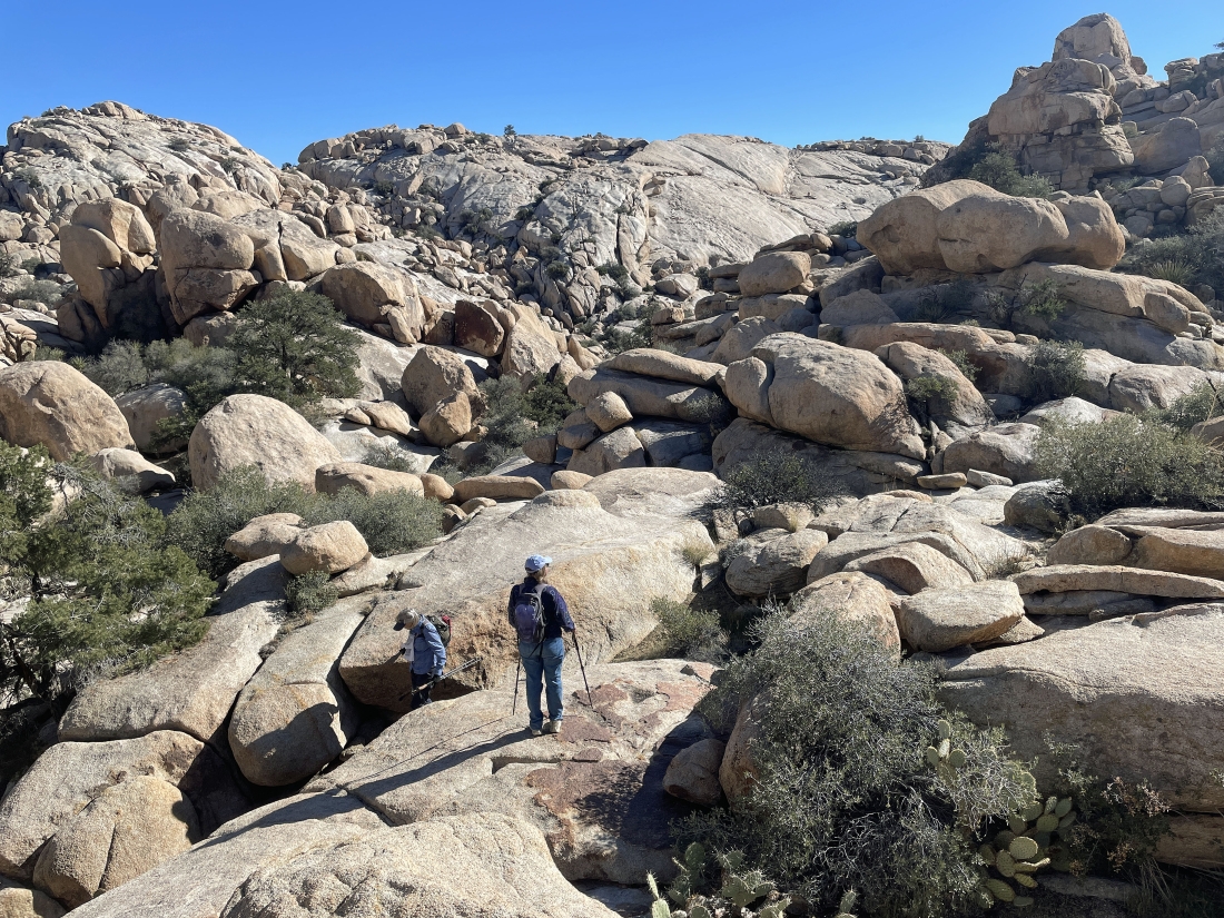
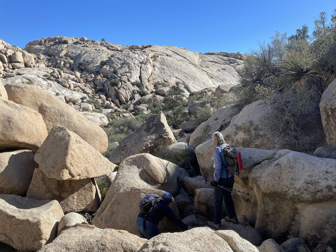
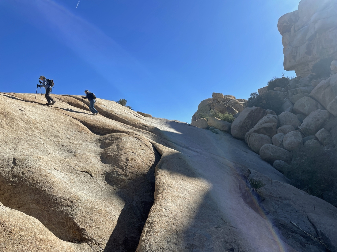
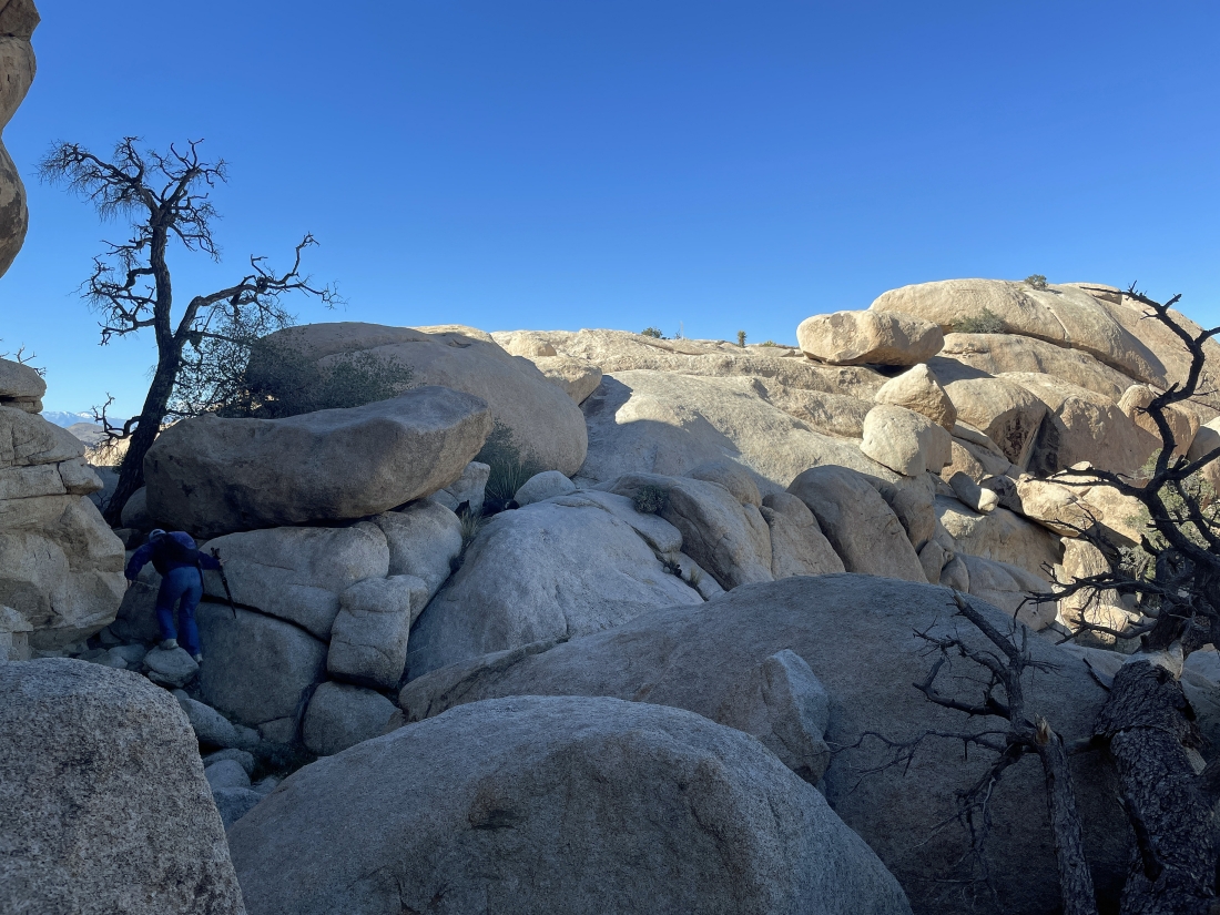
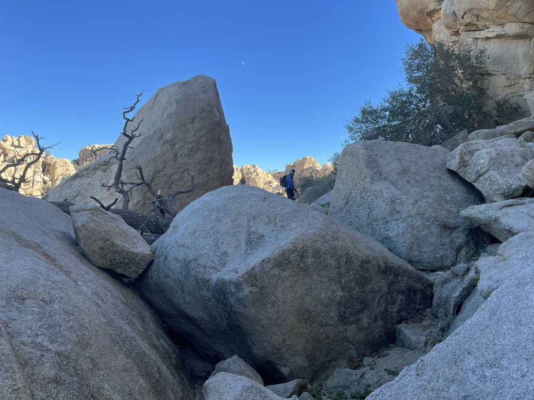
Trying to get around to the west side of the Astro Domes... and we are not dealing with simple terrain.
|
Trying to get around to the west side of the Astro Domes... and we are not dealing with simple terrain.
|
Continuing to hike SW... here looking back at the terrain that we dealt with to get here from the Lenticular Dome.
|
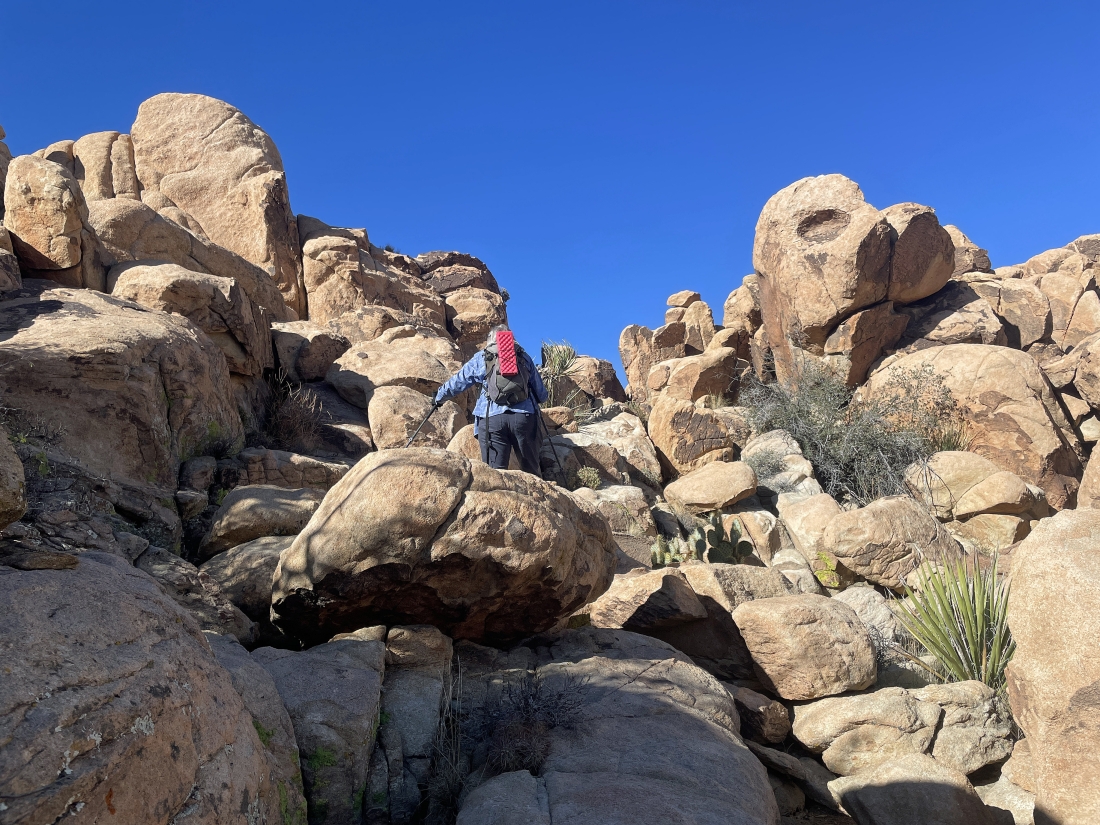
Continuing to hike SW... looks like we are getting ready to get on some easier terrain.
|
|
Continuing to hike SW... and getting further away from the Lenticular Dome on the far right horizon.
|
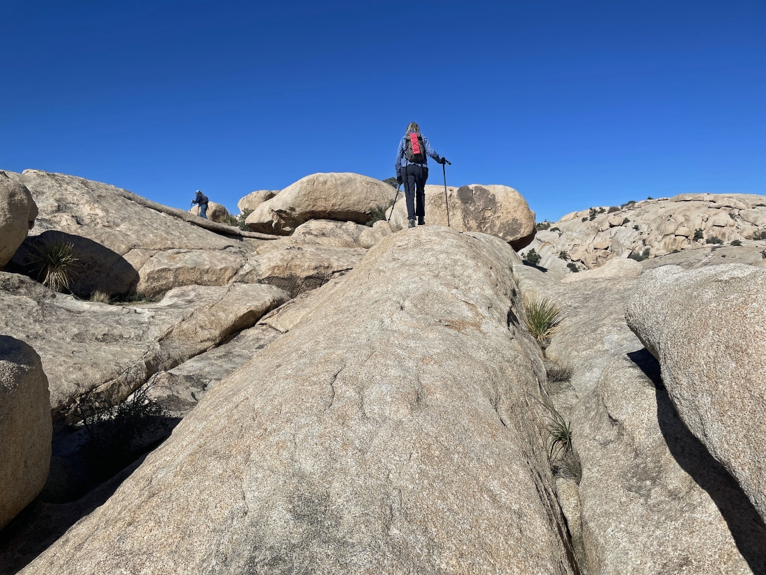
We have found easier terrain after hiking SW for a quarter mile from the Lenticular Dome on the far right... now getting ready to hike SE to find the west side of the Astro Domes.
|
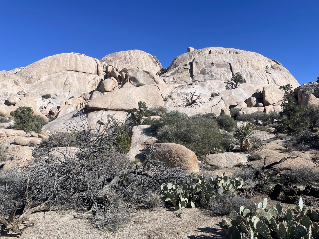
After hiking a total of 1.9 miles we have found the west side of the Astro Domes... with the North Astro Dome in the middle of the photo... and the South Astro Dome on the right.
|
Continuing to hike SE beyond the Astro Domes... with Valhalla Dome on the horizon in the middle of the photo.
|
Looking down the valley toward the Barker Dam and Barker Lake area... with Valhalla Dome on the left horizon.
|
Working our way down to the valley that will take us down to Barker Dam.
|
Working our way down to the valley that will take us down to Barker Dam.
|
Working our way down to the valley that will take us down to Barker Dam.
|
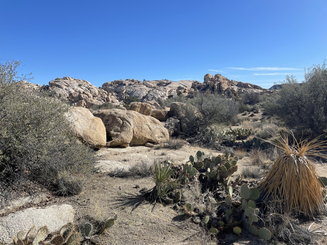
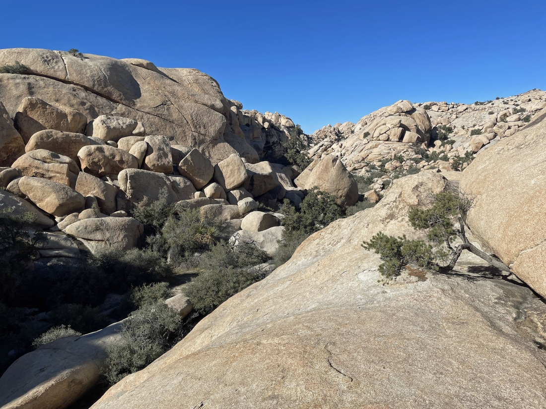
We have found the valley that will take us to Barker Dam... we are on the south side of the South Astro Dome that is being blocked by huge rock formation behind Denali Girl and Star Dancer.
|
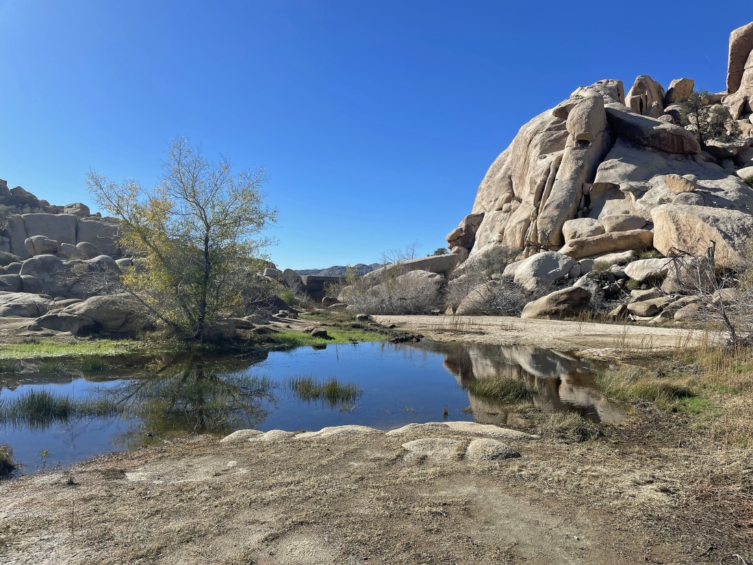
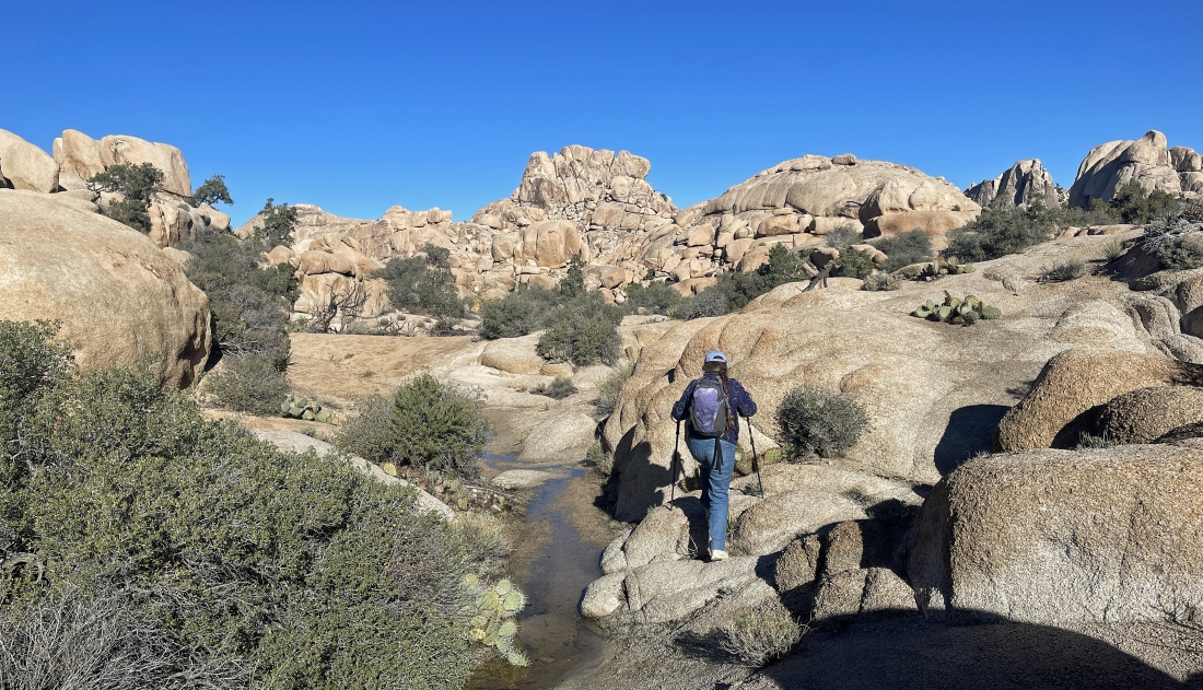
After hiking a total of 2.75 miles we have reached the Barker Dam... and there is more water than we have seen here since 2018.
|
|
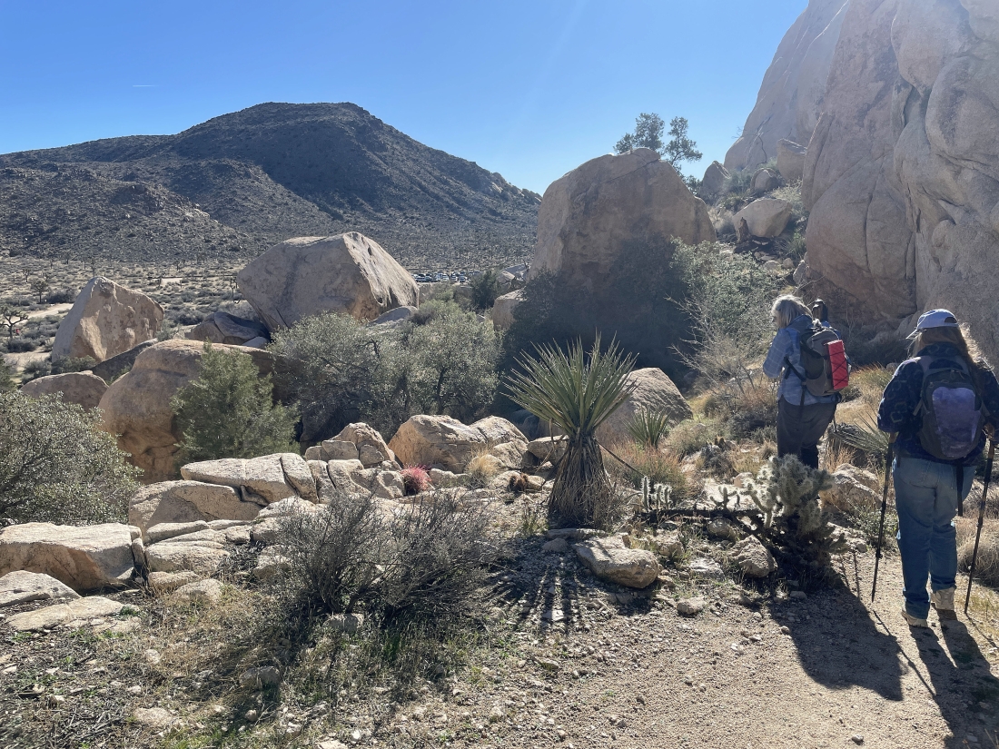
Hiking SE out of the Barker Dam area... the extremely popular Barker Dam Trail heads back to the parking lot on the far right in the photo... but we will take a side door route back to the car by heading over to the far left.
|
Entering the side door route leading back to our car.
|
Gaining a little elevation on the side door route.
|
Looking back at the terrain we have covered on the Side Door route out of the Barker Dam area... we are going to take a little side trip up to the rock on the far left horizon before we head back to our car.
|
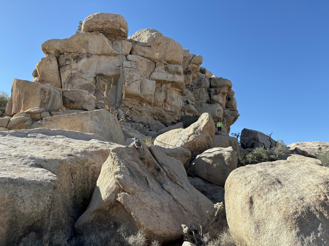
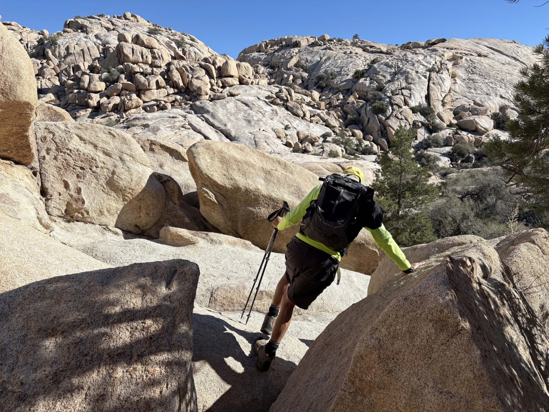
Denali Girl took this photo of me heading for the side trip... I'm wearing a yellow shirt.
|
Star Dancer (far left) is leading us up to the rock on the far right horizon.
|
Following Star Dancer and Denali Girl on the little side trip.
|
The little side trip has us at the high point of the side trip... with the main trail to Barker Dam below us on the right... and the side door will take us out below on the left... Ryan Mountain is on the horizon in the middle of the photo.
|
From the high point on the side trip I am looking back to the north.
|
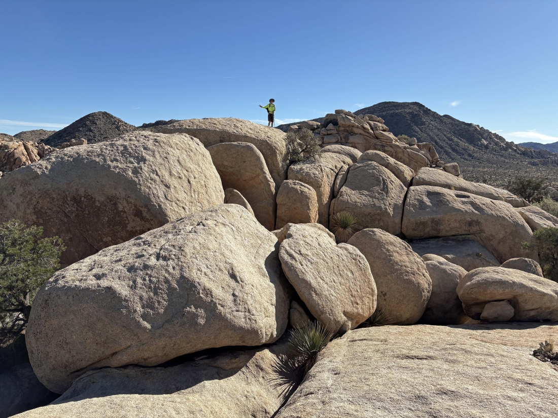
Denali Girl took this photo of me on the high point of the side trip... with Ryan Mountain on the horizon.
|
|
Star Dancer took this photo of Denali Girl and me near the high point of our side trip.
|
Heading back down to the floor of our side door exit from the Barker Dam area.
|
Back down from our side trip and heading for the exit from the Side Door route to Barker Dam.
|
Almost down from the Side Door route... and we can see cars in the distance that are parked at the very popular paved parking lot for Barker Dam.
|
Down from the Side Door route to Barker Dam... heading for the dirt parking lot to close our loop hike... the hike was a total of 3.6 miles, gaining 286 feet of elevation... not really much elevation gain... but there was a ton of 'rock yoga' to deal with on the hike.
|
