Don Juan Boulder - 1.7.2026
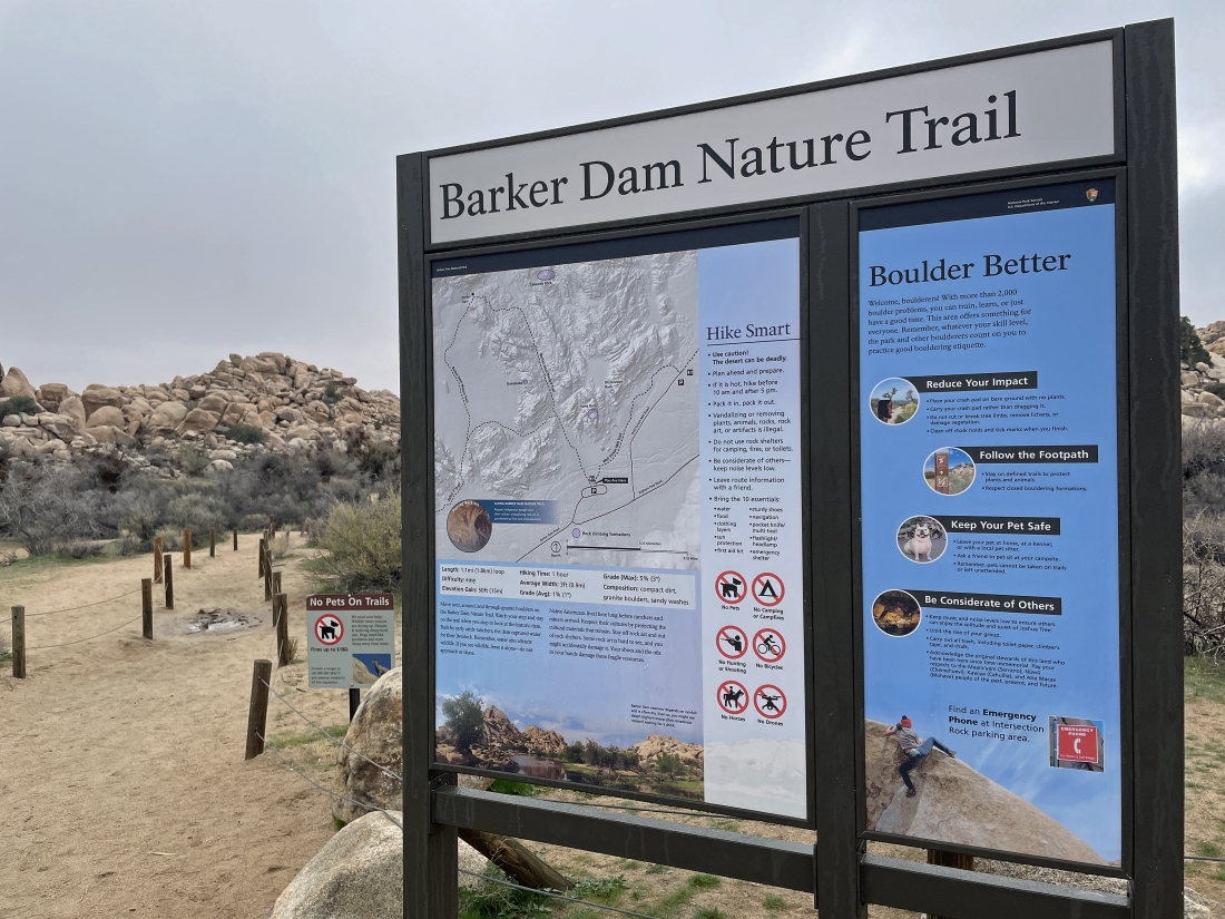
I parked at the paved parking lot for Barker Dam in Joshua Tree National Park... and started hiking north toward Barker Dam.
|
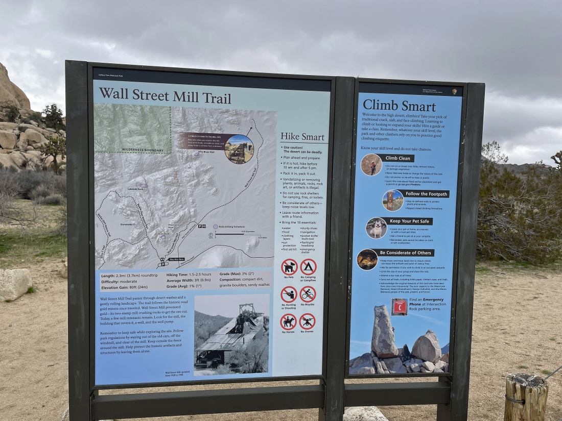
Just a bit of info here... this sign for the Wall Street Mill Trail is less than 50 feet away from the sign for the Barker Dam Nature Trail. In other words, the two hikes share the same paved parking lot.
|
Hiking north into the Barker Dam area.
|
After hiking .4 miles I have arrived at the Barker Dam area... with the South Astro Dome on the horizon in the middle of the photo.
|
Barker Dam is in the distance on the left.
|
|
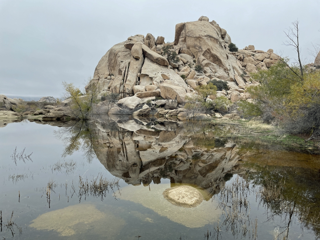
The most water I have seen here in several years... with Barker Dam on the far right.
|
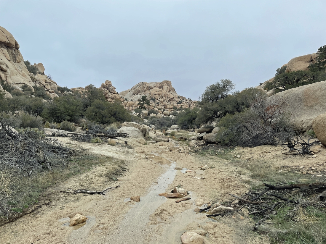
Continuing to hike north beyond the Barker Dam area... and there is water here also... I think it may have rained here the night before this hike.
|
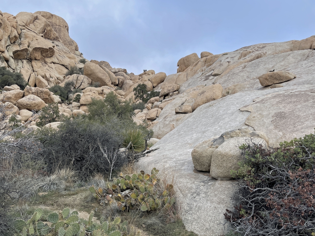
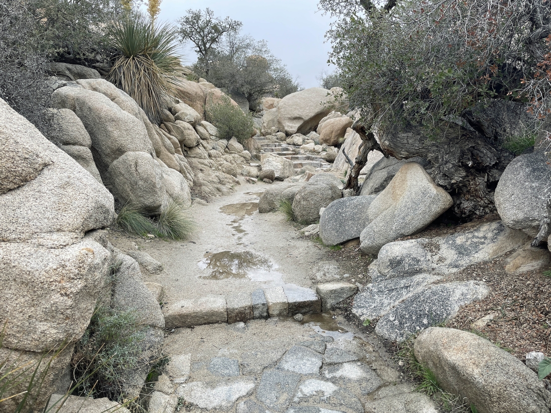
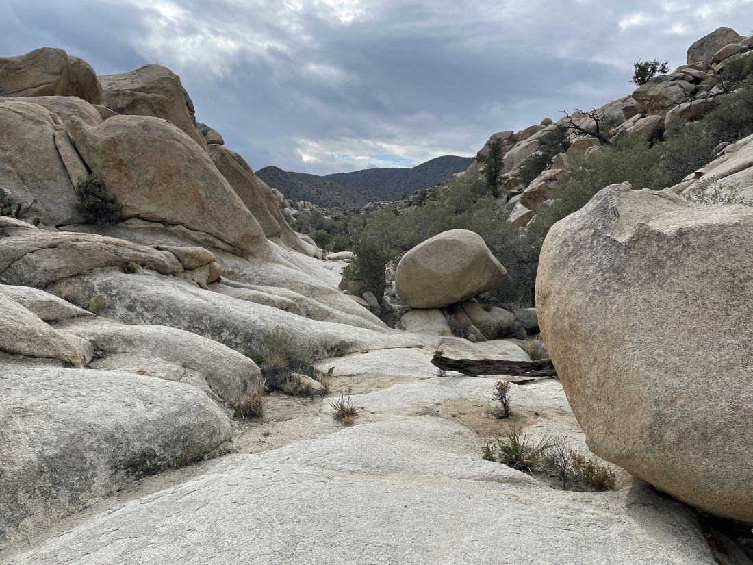
Continuing to hike north beyond the Barker Dam area... the terrain is getting a little more challenging.
|
Continuing to hike north beyond the Barker Dam area... and dealing with the more challenging terrain.
|
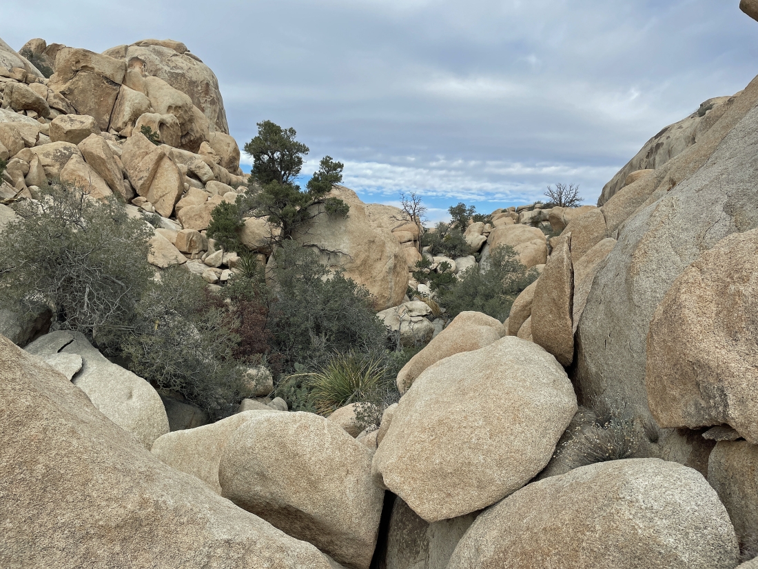
Looking back at the terrain I dealt with to get this far.
|
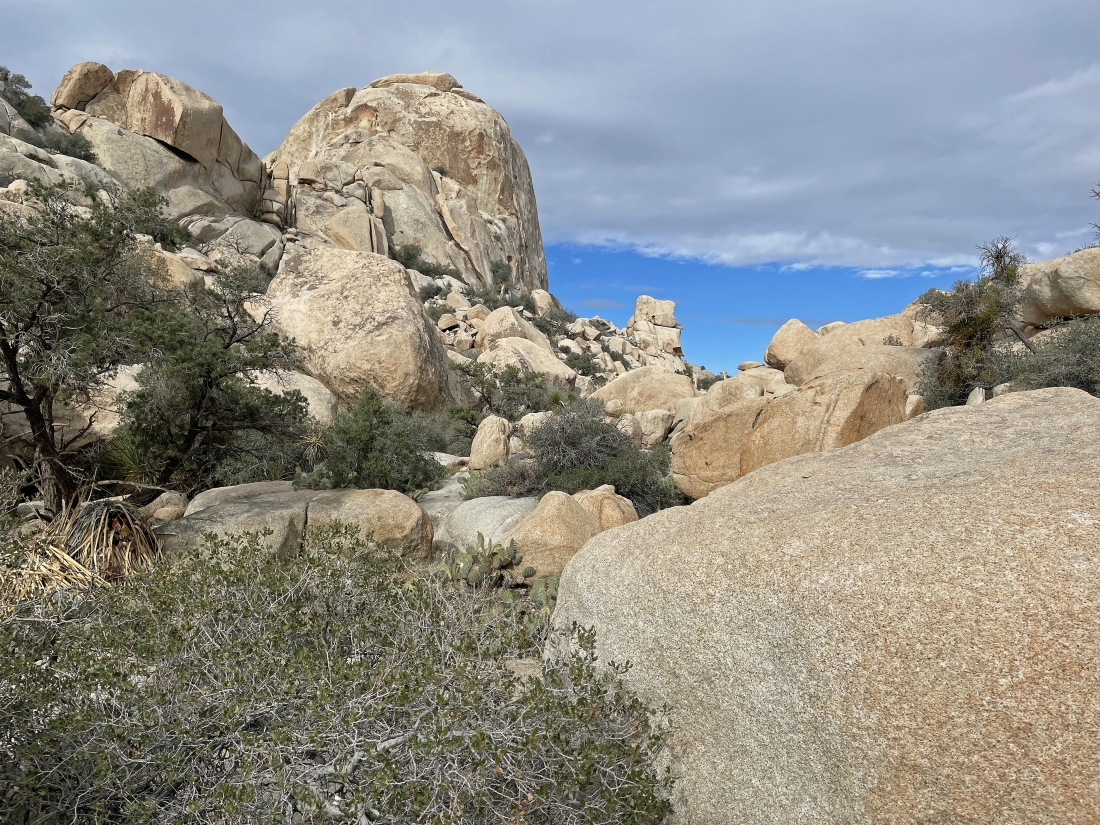
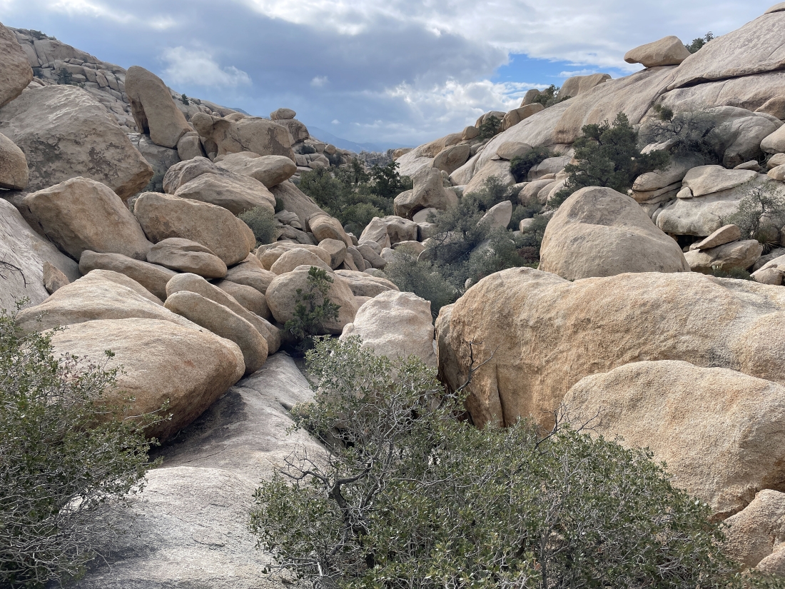
Almost done with the difficult terrain as I get a nice view of the South Astro Dome.
|
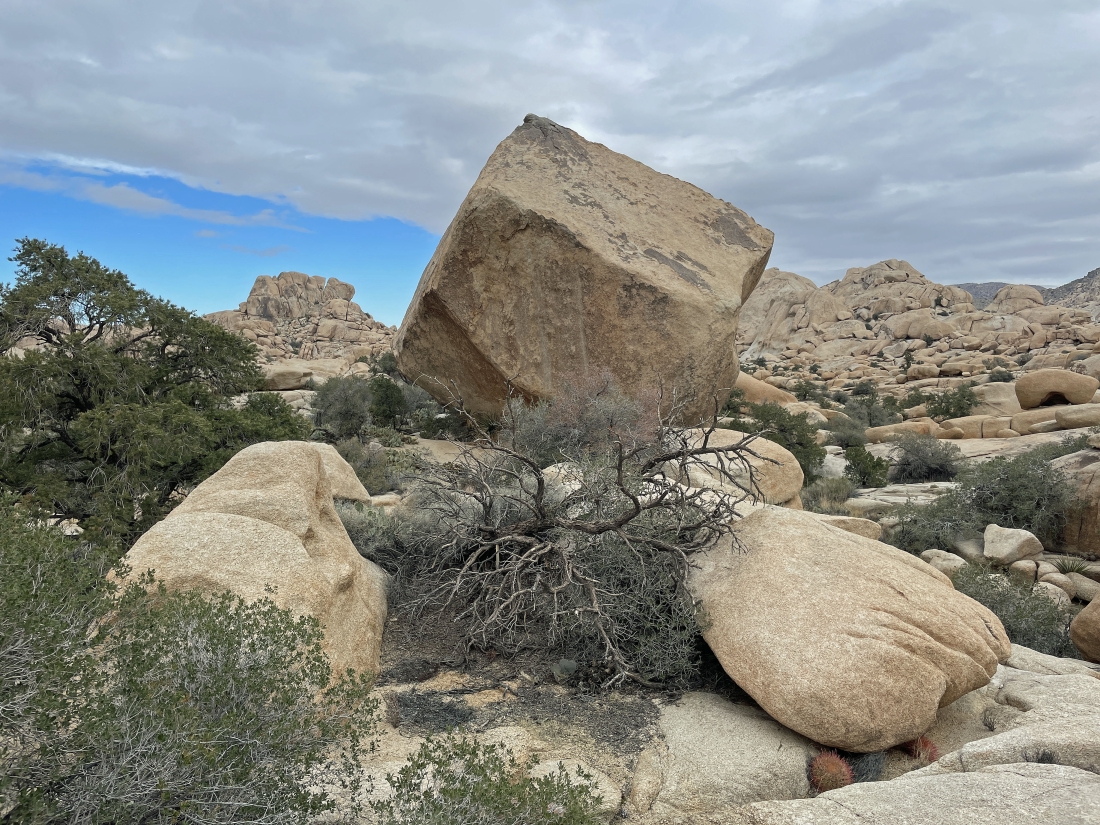
After hiking 1.2 miles I have arrived at the Don Juan Boulder... and 'The Camel' is out there on the left horizon.
|
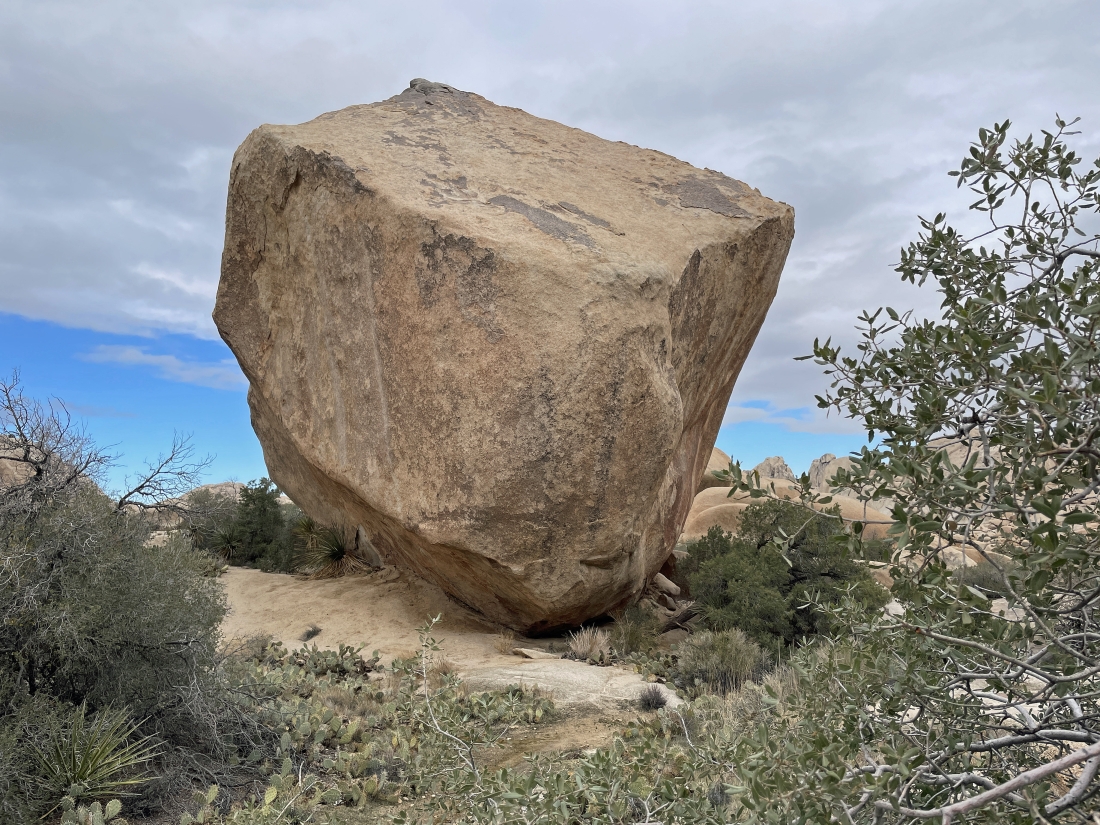
A closer look at the Don Juan Boulder... and there is no easy route to get up to the summit... the 'Mountain Project' website says the climbing route has a 5.9 rating.
|
The Don Juan Boulder is in the foreground... with the South Astro Dome in the distance on the left... and the North Astro Dome is barely visible on the horizon in the middle of the photo.
|

On the Don Juan Boulder back in the day.
|
|
Hiking south in the Wonderland of Rocks as I look back at the South Astro Dome and North Astro Dome on the left... and The Camel on the far right.
|
Continuing to hike south in the Wonderland of Rocks.
|
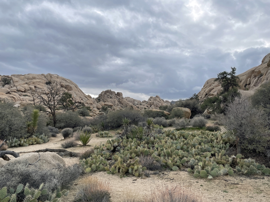
Continuing to hike south in the Wonderland of Rocks... planning to make this a loop hike.
|
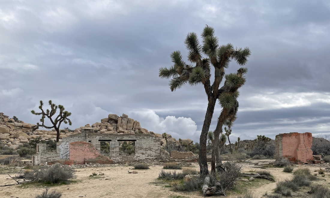
I have come out of the Wonderland of Rocks and arrived at the 'Pink House'... also known as the Worth Bagley homestead.
|
A short distance from the Pink House I joined the Wall Street Mill Trail and followed it SW for .4 miles back to the parking lot that I can see in the distance. The total loop hike was 2.6 miles, gaining 171 feet of elevation.
|
