Valhalla Dome - 1.10.2026
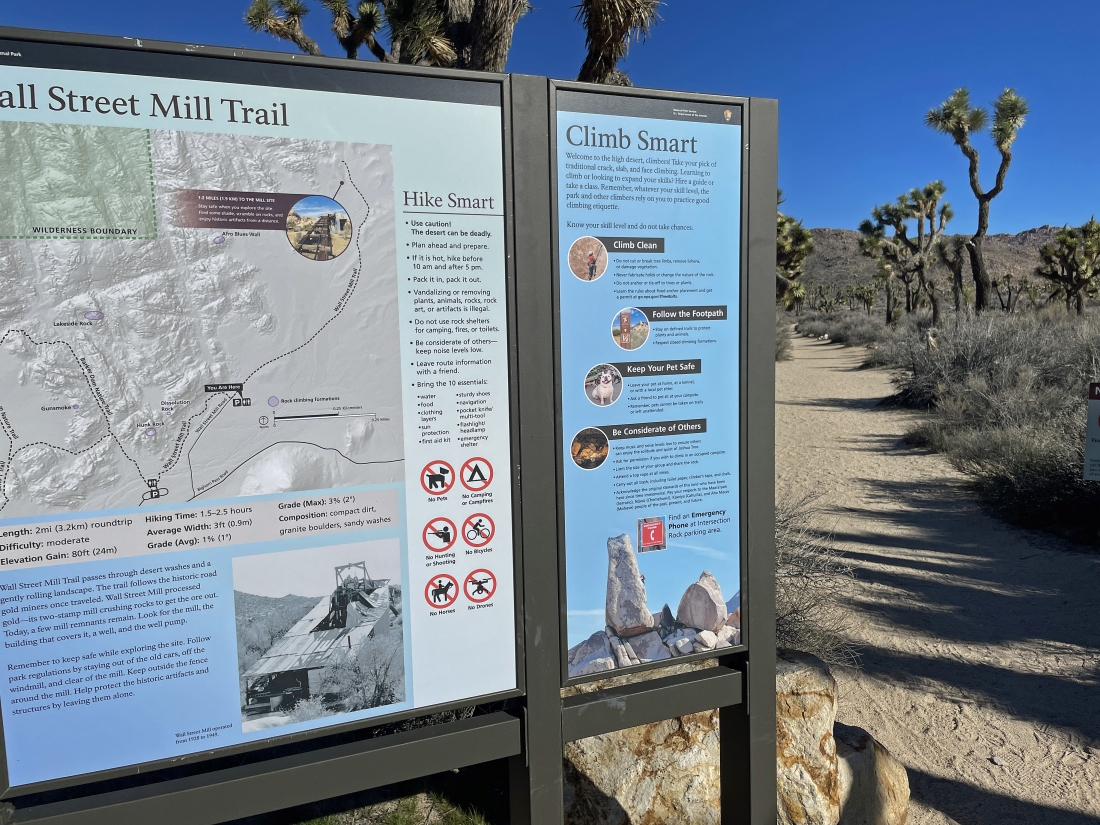
We parked in the dirt parking lot located a quarter mile NE of the very popular paved Barker Dam parking lot in Joshua Tree National Park... and we will start hiking NE on the Wall Street Mill Trail.
|
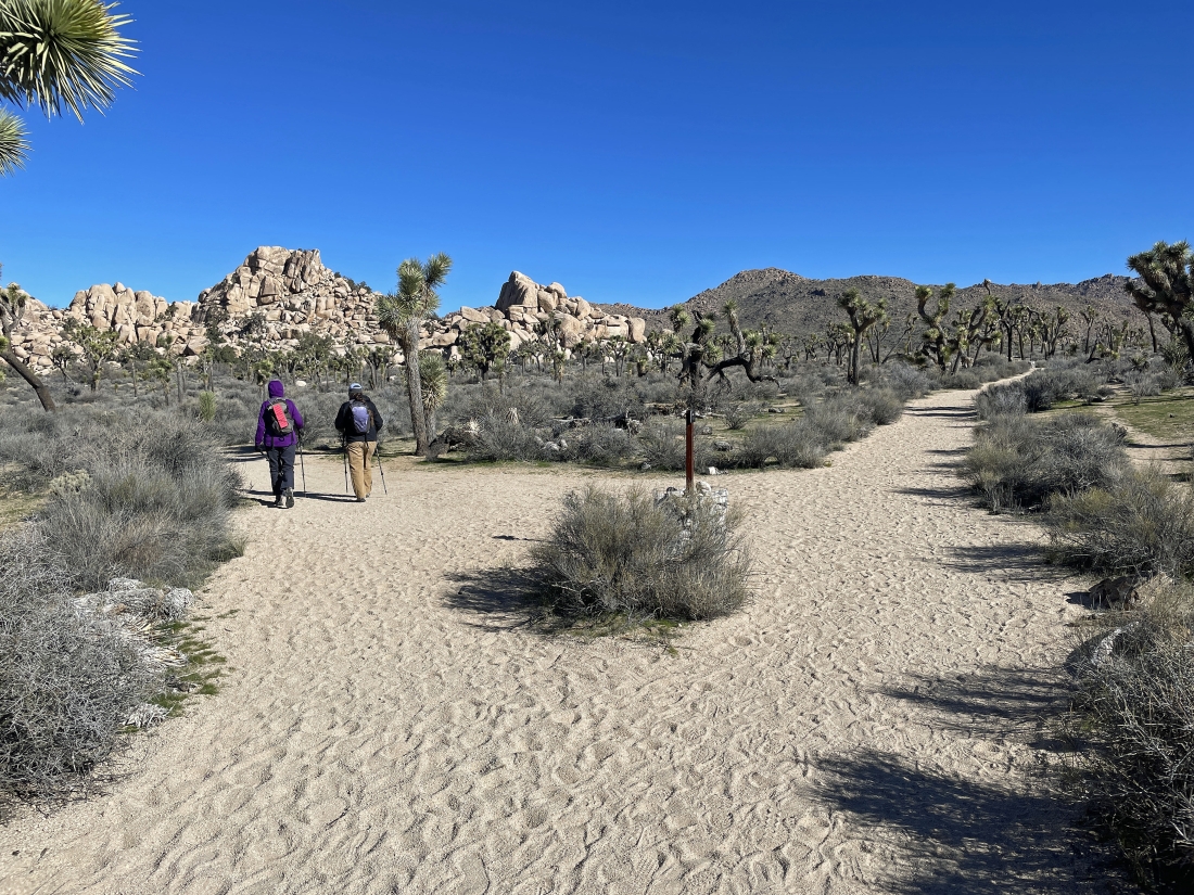
Leaving the Wall Street Mill Trail after hiking less than a tenth of a mile... and heading for the Pink House.
|
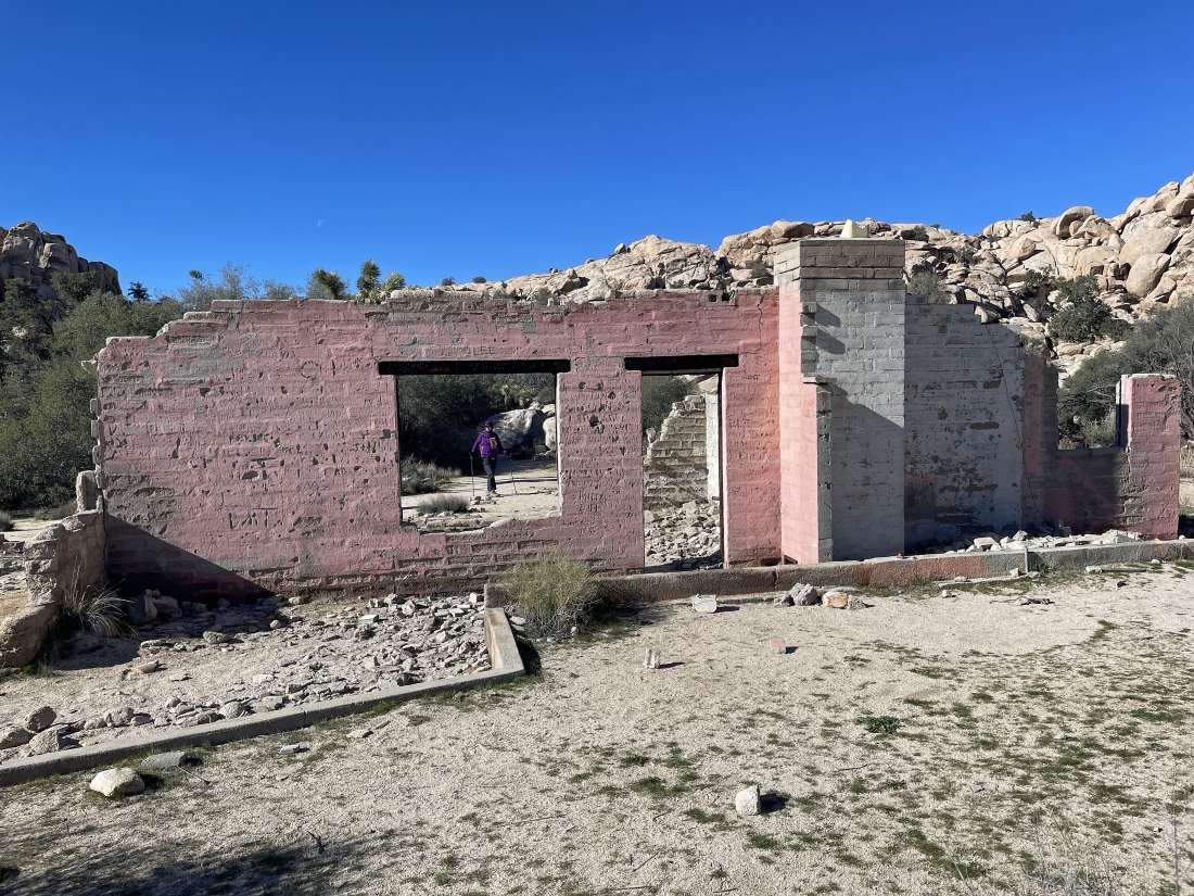
After leaving the Wall Street Mill Trail we reached the Pink House very quickly... and we will enter the Wonderland of Rocks from behind the Pink House.
|
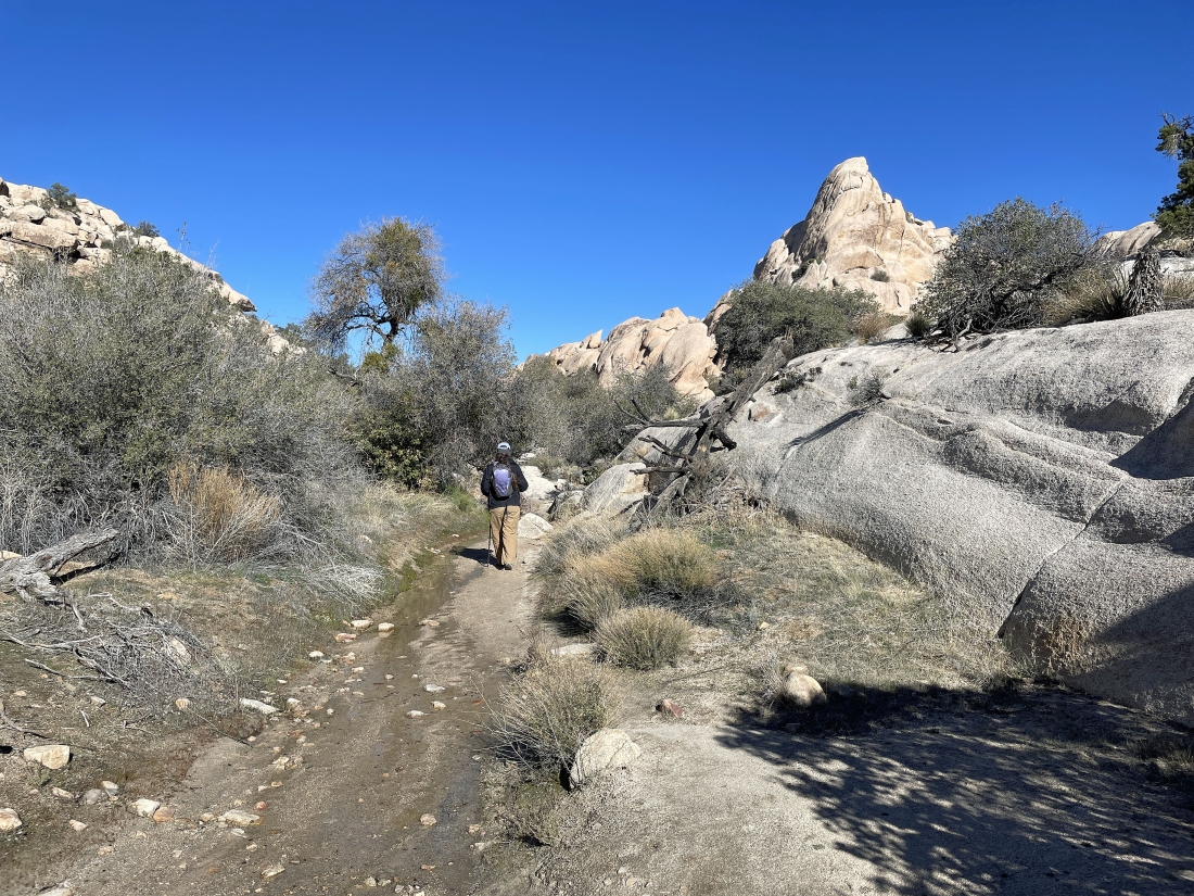
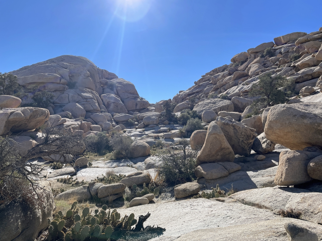
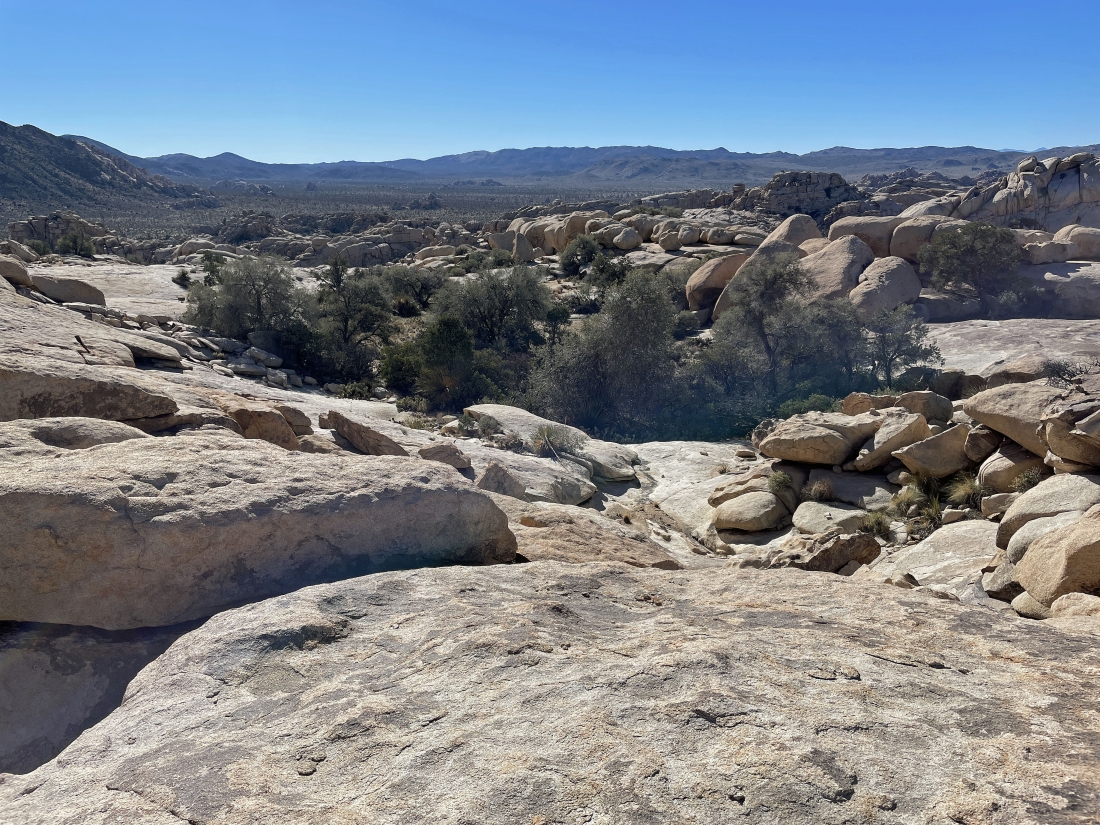
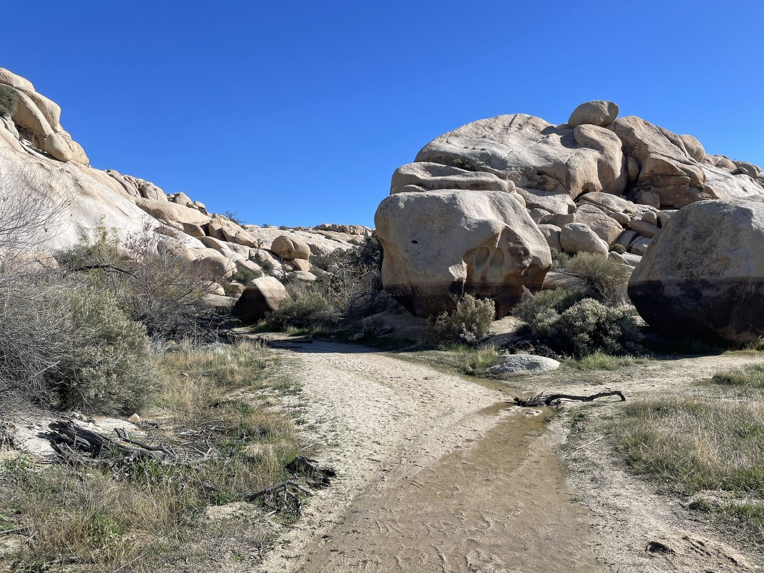
Hiking north in the Wonderland of Rocks... and the wash had a lot more water than normal.
|
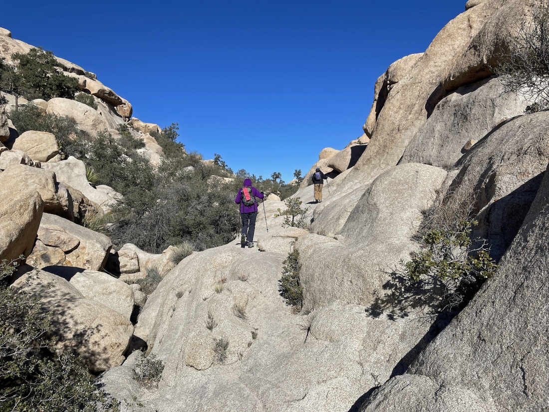
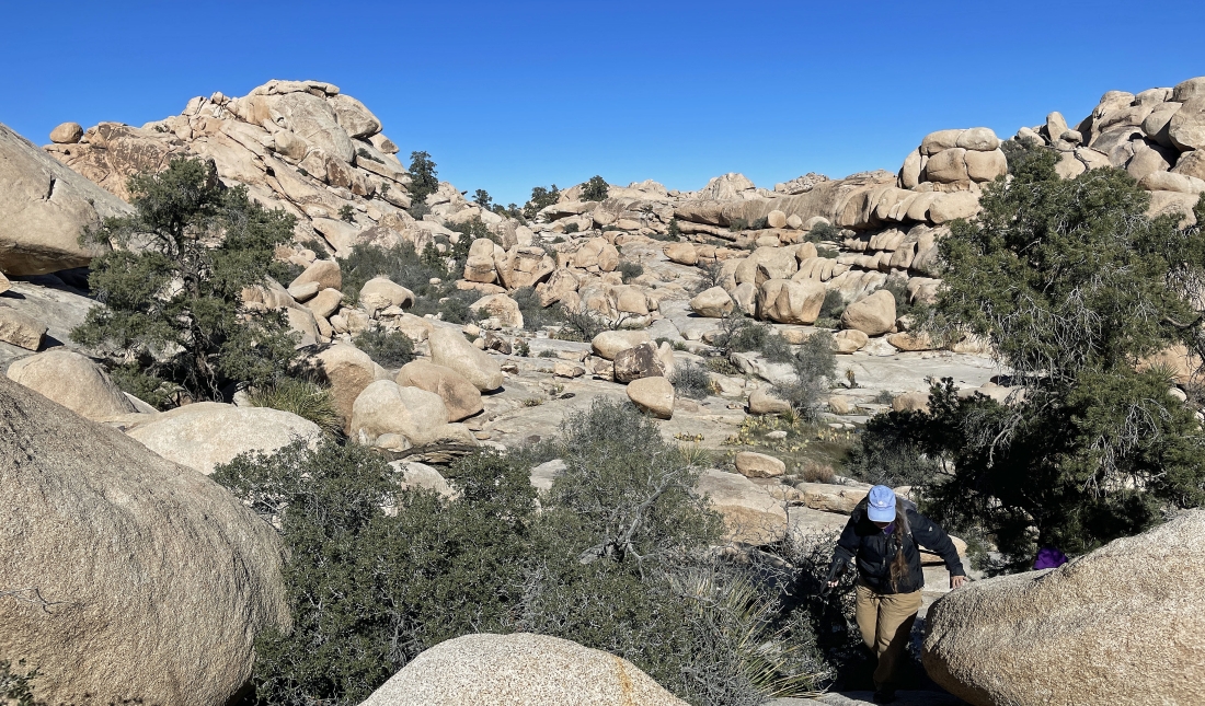
Continuing to hike north in the Wonderland of Rocks.
|
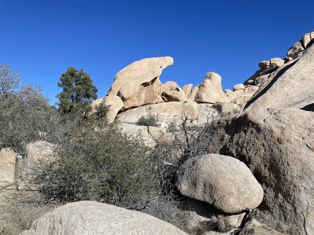
After hiking a half-mile from the Pink House we have reached what we call the 'Shark Rock'... and we will continue to hike north for less than a quarter mile.
|
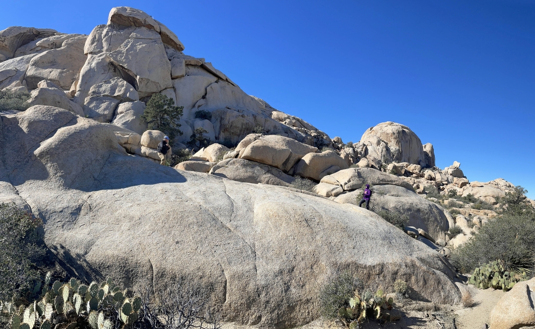
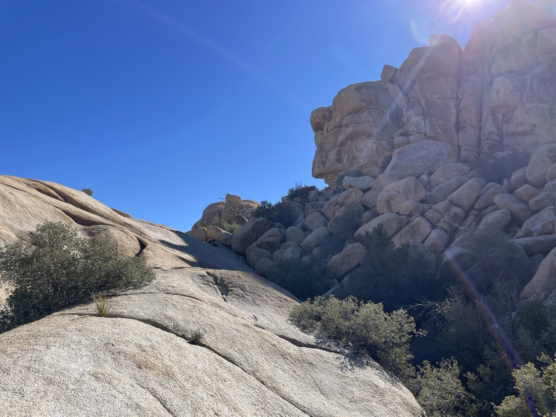
After hiking less than a quarter-mile north of 'Shark Rock' we have left the wash and are scrambling south on boulders... and that is the South Astro Dome and North Astro Dome out there in the distance.
|
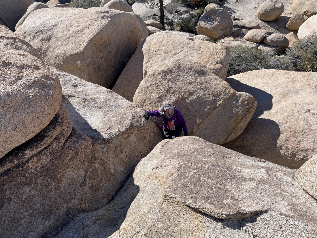
Denali Girl and Star Dancer call it rock yoga.
|
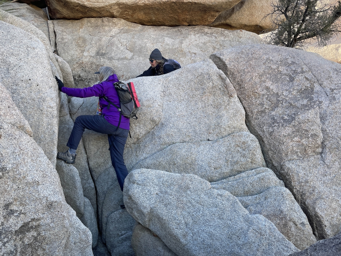
More rock yoga.
|
After the rock yoga we head back toward the South Astro Dome for a very short distance... looking for a doable route back to the south.
|
|
Looking south and heading for the low point out there in the right-center of the photo.
|
Getting closer to the low point out there.
|
Looking back at the terrain we have just traveled from the low point on the left-center horizon.
|
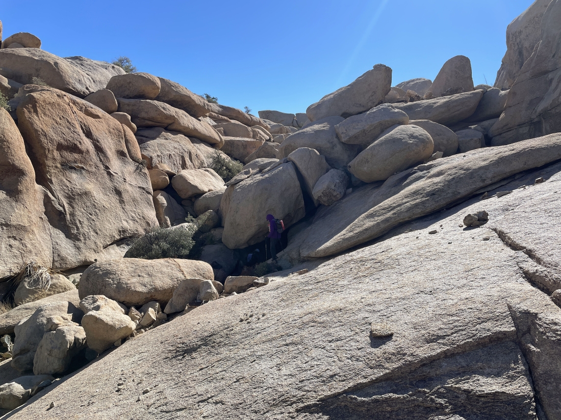
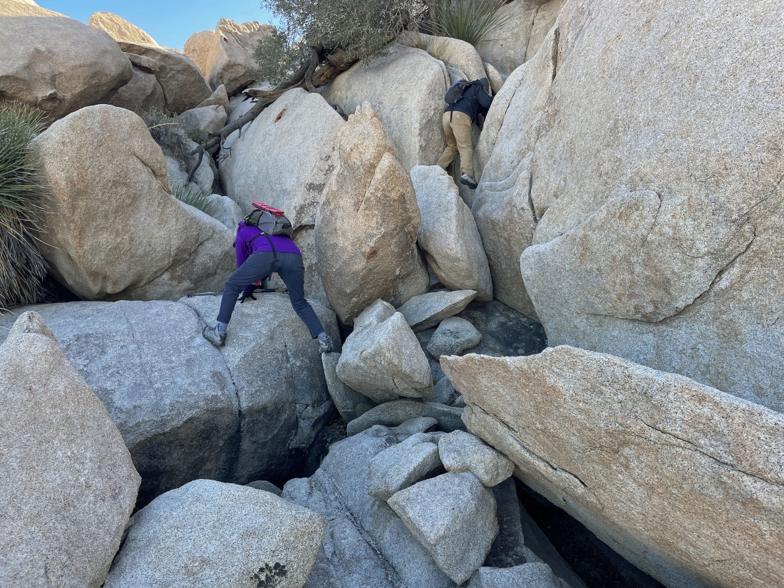
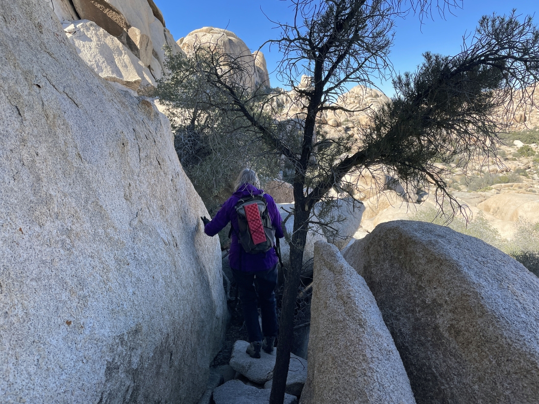
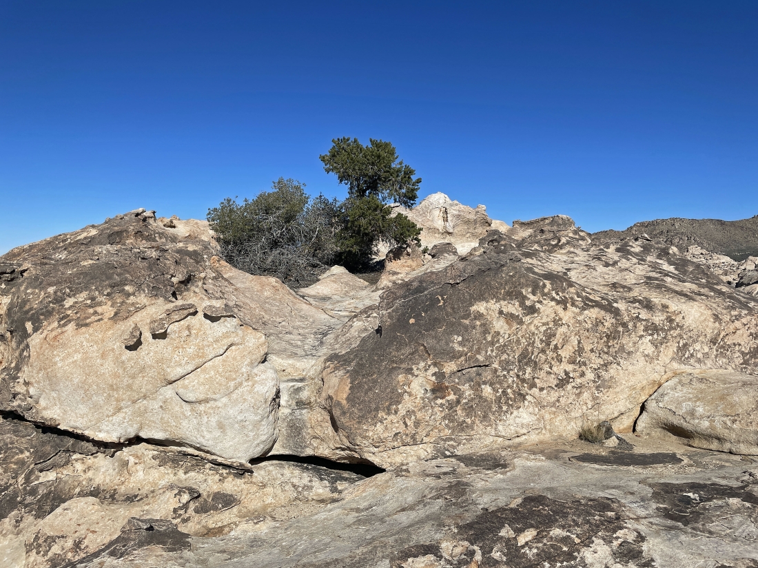
Continuing to hike south and getting ready to enter what seems like a tunnel.
|
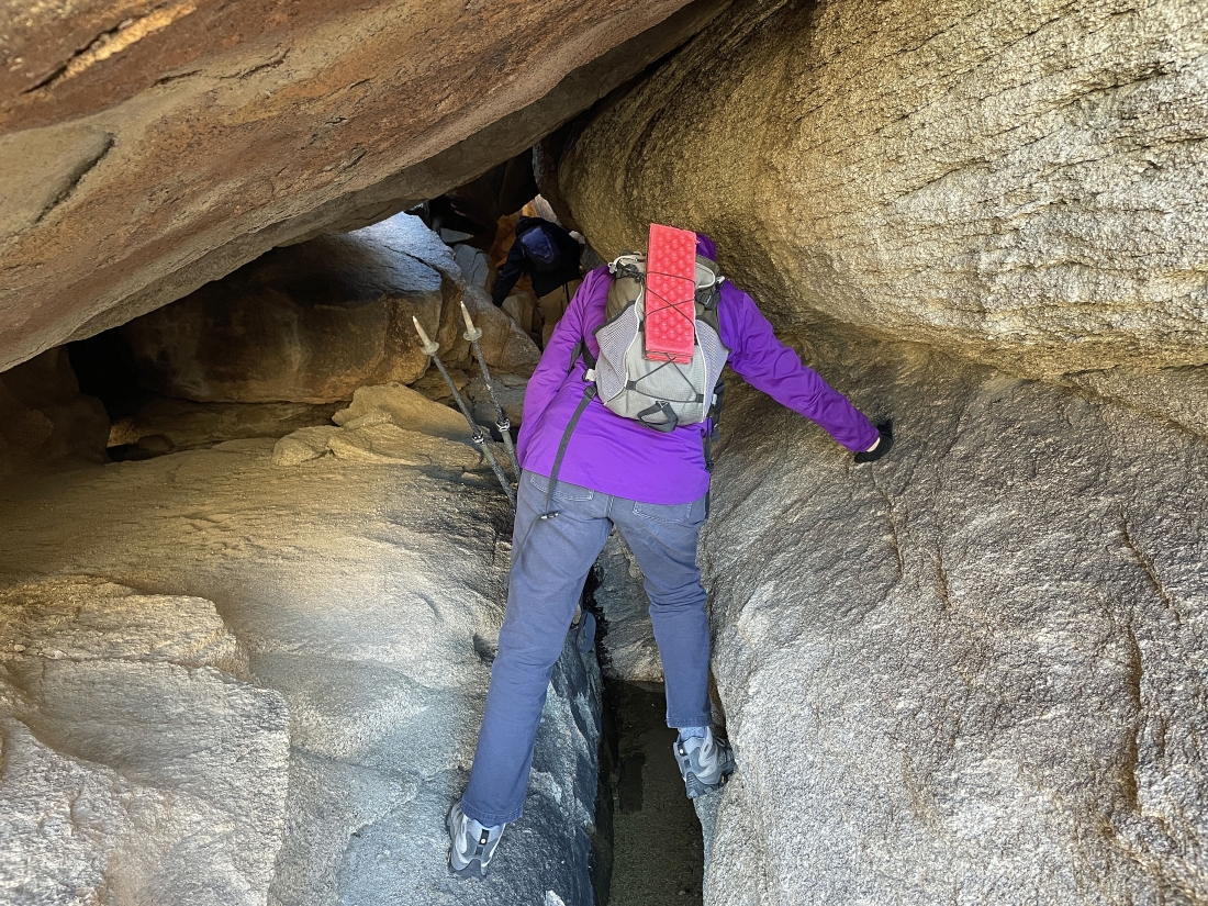
It is not an official tunnel... but it definitely feels like one.
|
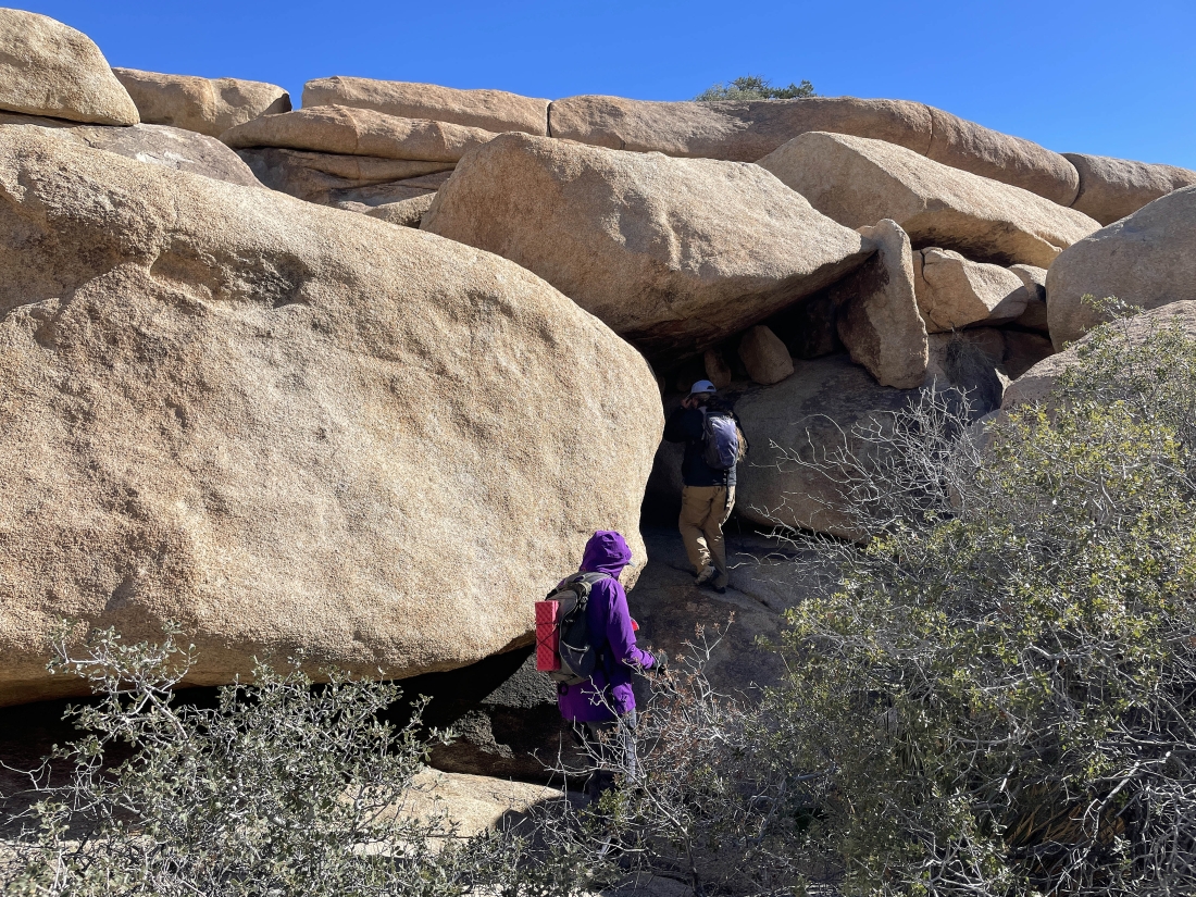
Looking for a way to get up above.
|
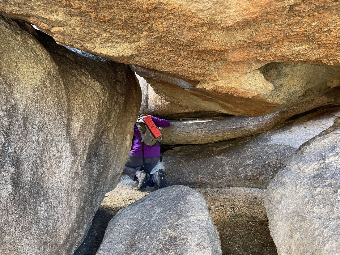
More rock yoga.
|
Denali Girl's back is bothering her and she says she will trace her steps back out the way we came in... and Star Dancer will join her while I continue on up to Valhalla Dome.
|
I'm looking at the Valhalla Dome summit on the horizon... I will go around to the left to get up there.
|
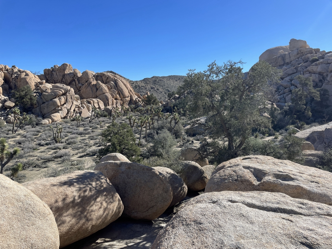
The Valhalla Dome summit is up there on the far left foreground... looking at the terrain we have dealt with to get this far... looking across the Wonderland of Rocks to Queen Mountain on the right horizon.
|
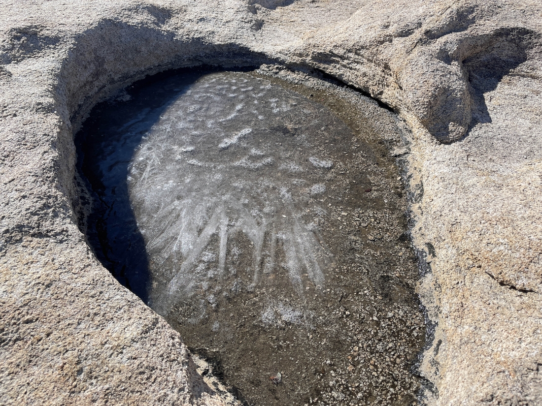
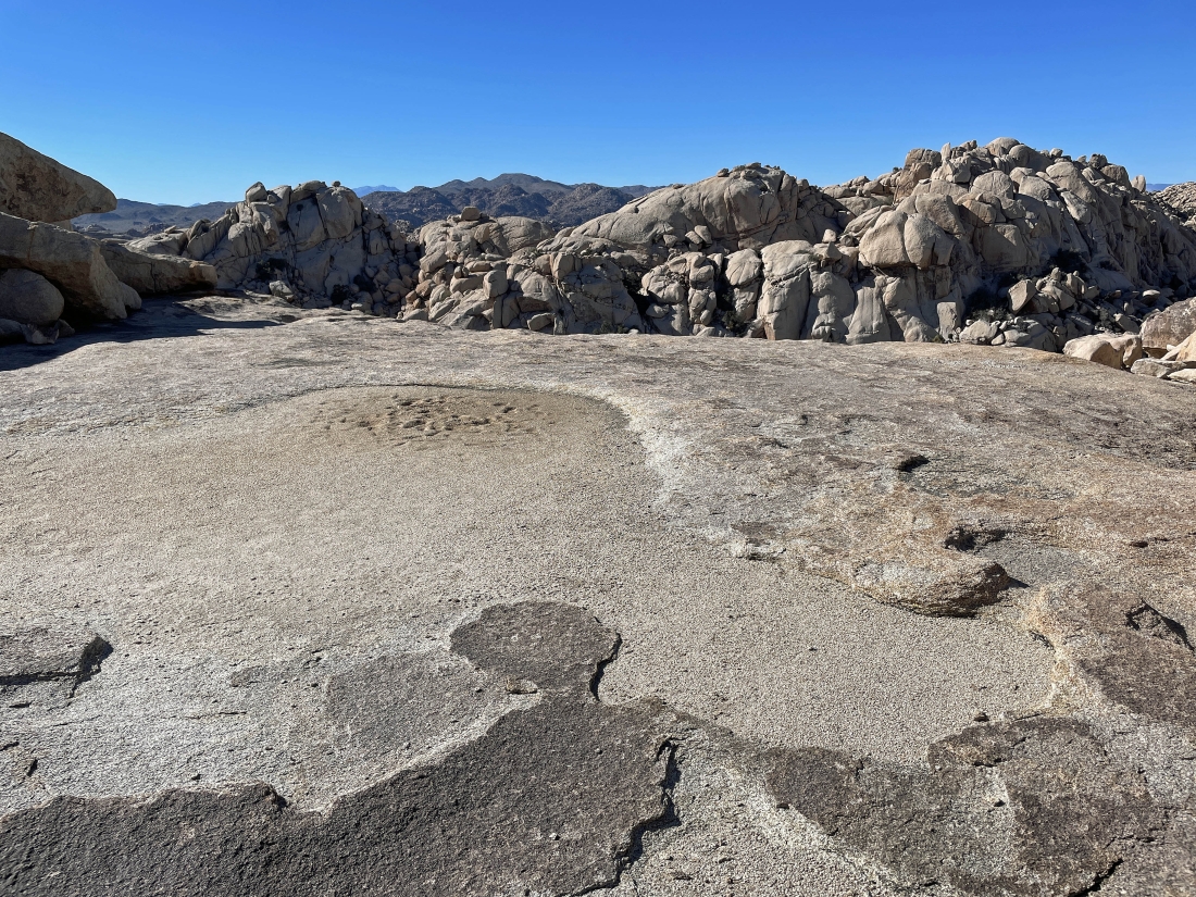
This pothole tells me it was chilly last night... and it was 42 degrees when we started hiking today at 10:00am.
|
I have worked my way around to the south side of the Valhalla Dome summit... and will head north to visit it.
|
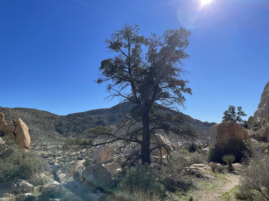
Almost on the 4,500 foot Valhalla Dome summit... that pinyon pine tree has grown some since my first visit in 2018.
|
After hiking a total of 1.4 miles I have reached the 4,500 foot summit of Valhalla Dome... here looking SW to Quail Mountain on the far left horizon... north to the South Astro Dome in the foreground... and NE across some of the Wonderland of Rocks to Queen Mountain on the right horizon.
|
From the summit of Valhalla Dome I am looking SW to Queen Valley on the left... south to Ryan Mountain on the center horizon... and SW to Lost Horse Valley on the right... with Quail Mountain on the right edge of the photo.
|
A closer look at the South Astro Dome in the distance.
|
Time to leave the summit of Valhalla Dome and head down to the Barker Dam area.
|
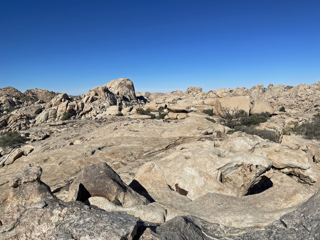
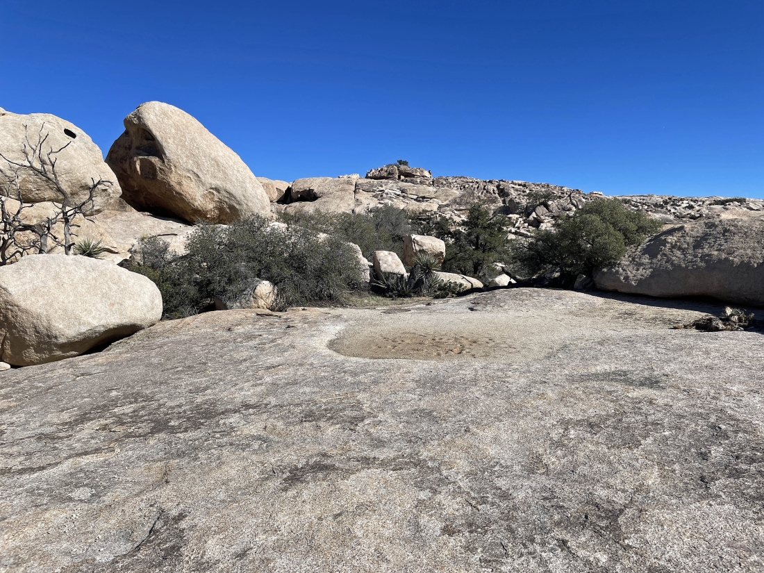
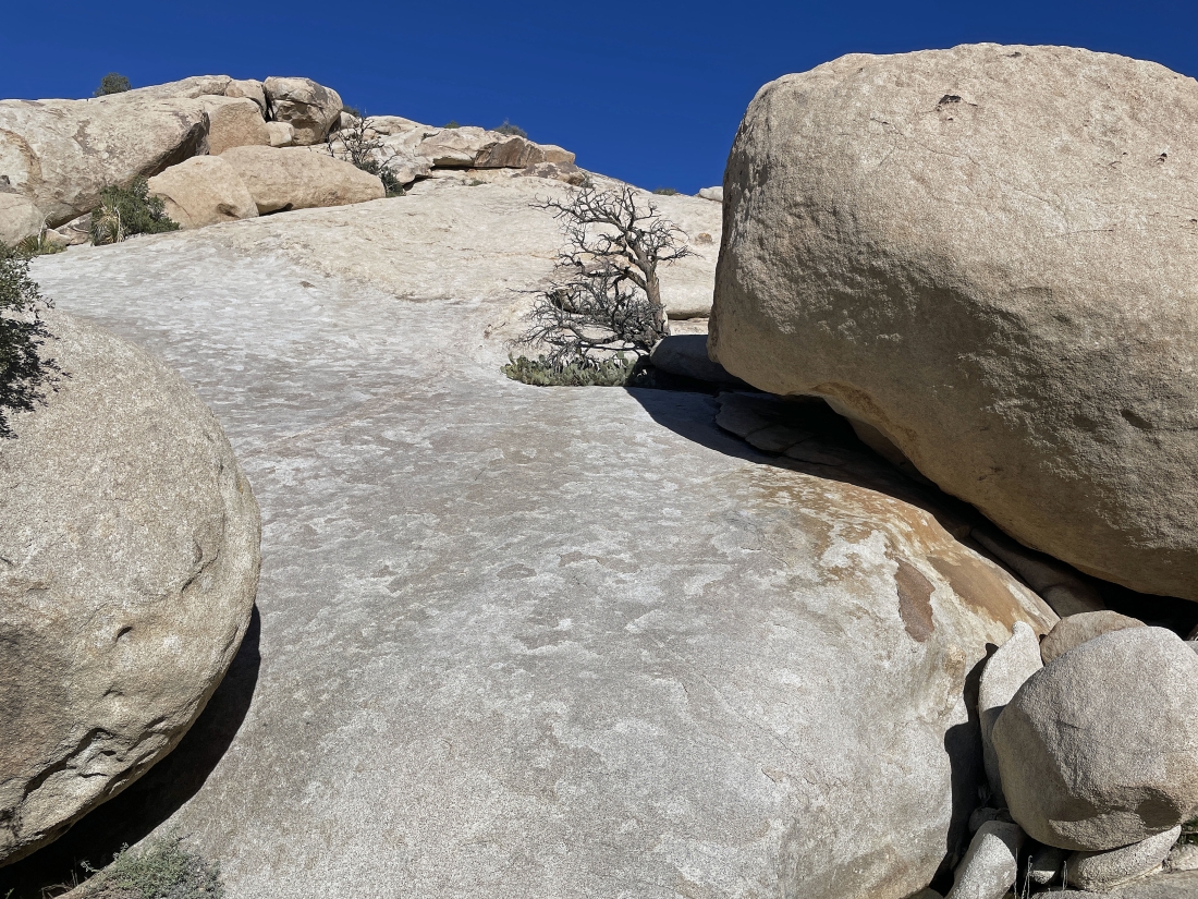
I found this shelf on my way down to Barker Dam.
|
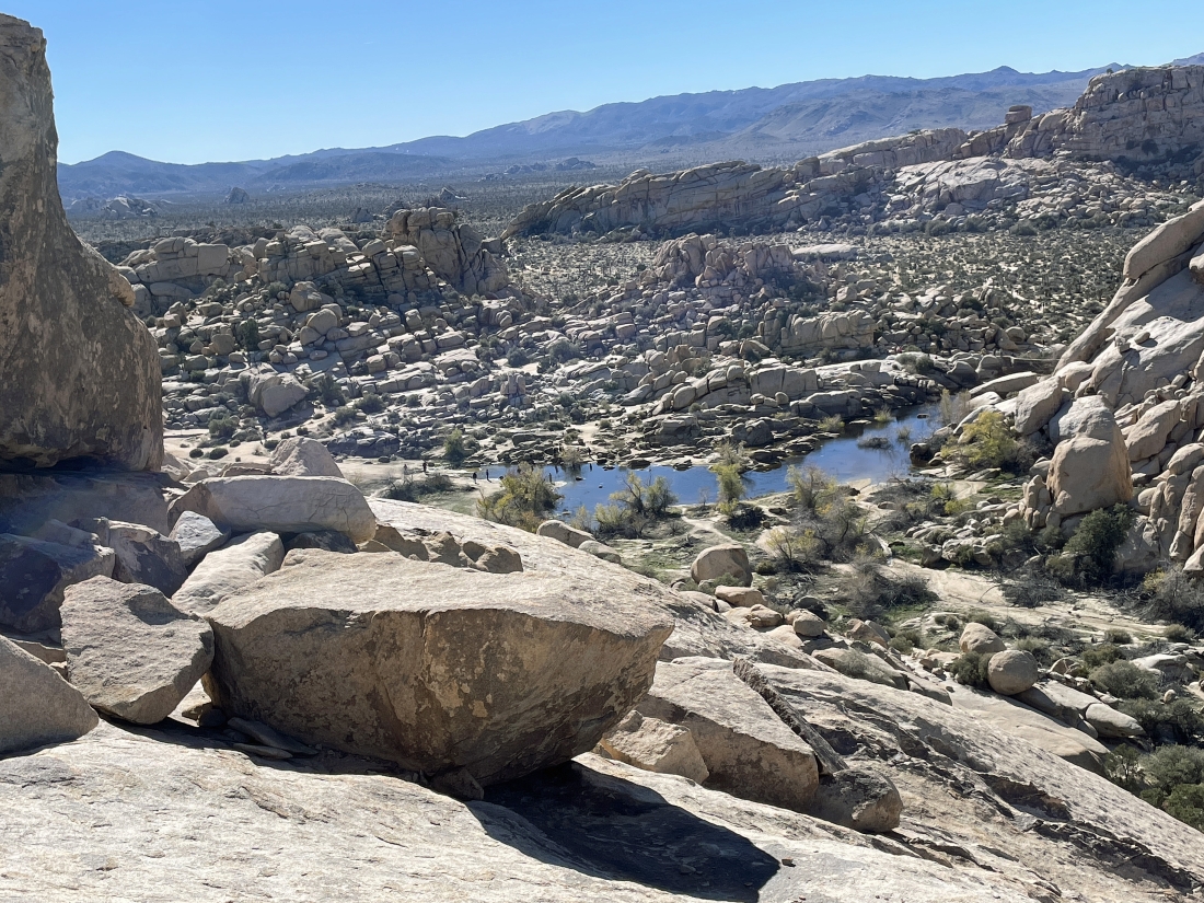
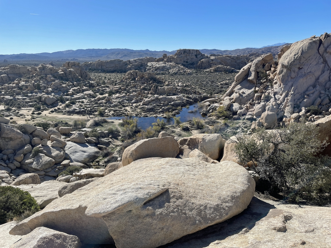
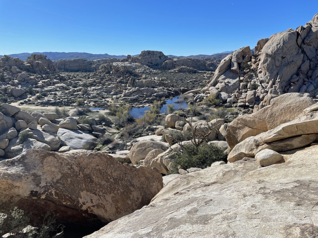
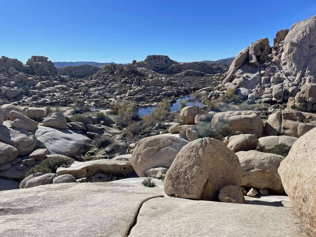
From the shelf in the previous photo I went down a little further and got this view of the Barker Dam area... with a lot more water than normal... and the Barker Dam is on the far right.
|
Looking up at the summit of Valhalla Dome from the shelf... time to continue on down to the Barker Dam area.
|
Continuing down to the Barker Dam area.
|
Continuing down to the Barker Dam area.
|
Continuing down to the Barker Dam area... almost down to easier terrain.
|
Down to flat terrain... looking back up at the steep terrain I just came down.
|
Leaving the Barker Dam area I will head out using what I call the 'Side Door' route instead of the main trail out of the area.
|
Leaving the Barker Dam area using the 'Side Door' route.
|

Looking back at the 'Side Door' route I have used leaving the Barker Dam area.
|
This part of the 'Side Door' route gets a lot easier as I head for the 'Side Door' exit.
|
Almost done with the 'Side Door' route... I can barely see the paved parking lot for Barker Dam by looking underneath the tree limb on the right.
|
I am out of the 'Side Door' route and have rejoined the Wall Street Mill Trail as I take it back to my car... closing the loop hike which was a total of 2.5 miles, gaining 319 feet of elevation.
|
