Eldorado Mine - 1.16.2026
|
From Park Blvd in Joshua Tree National Park at the Pinto Wye we turned onto the Pinto Basin Road and drove down Wilson Canyon for 9.5 miles and parked on the side of the road... it is not a paved parking area and not really a parking area at all... it is located a half-mile west of the very popular 'Cholla Garden'.
|
Walking SW across the desert... heading toward the Hexie Mountains on the left horizon... and heading for the bump in the middle of the photo.
|
Getting closer to that big bump in the middle of the photo... we will actually go to the left of the big bump and find a very wide valley between the Hexie Mountains and the big bump.
|
Continuing to hike SW from where we parked... here looking back down into Pinto Basin... with the Pinto Mountains on the left... Hexie Mountains on the right... and the Coxcomb Mountains on the horizon in the middle of the photo.
|
Looking back at Pinto Mountain on the horizon.
|
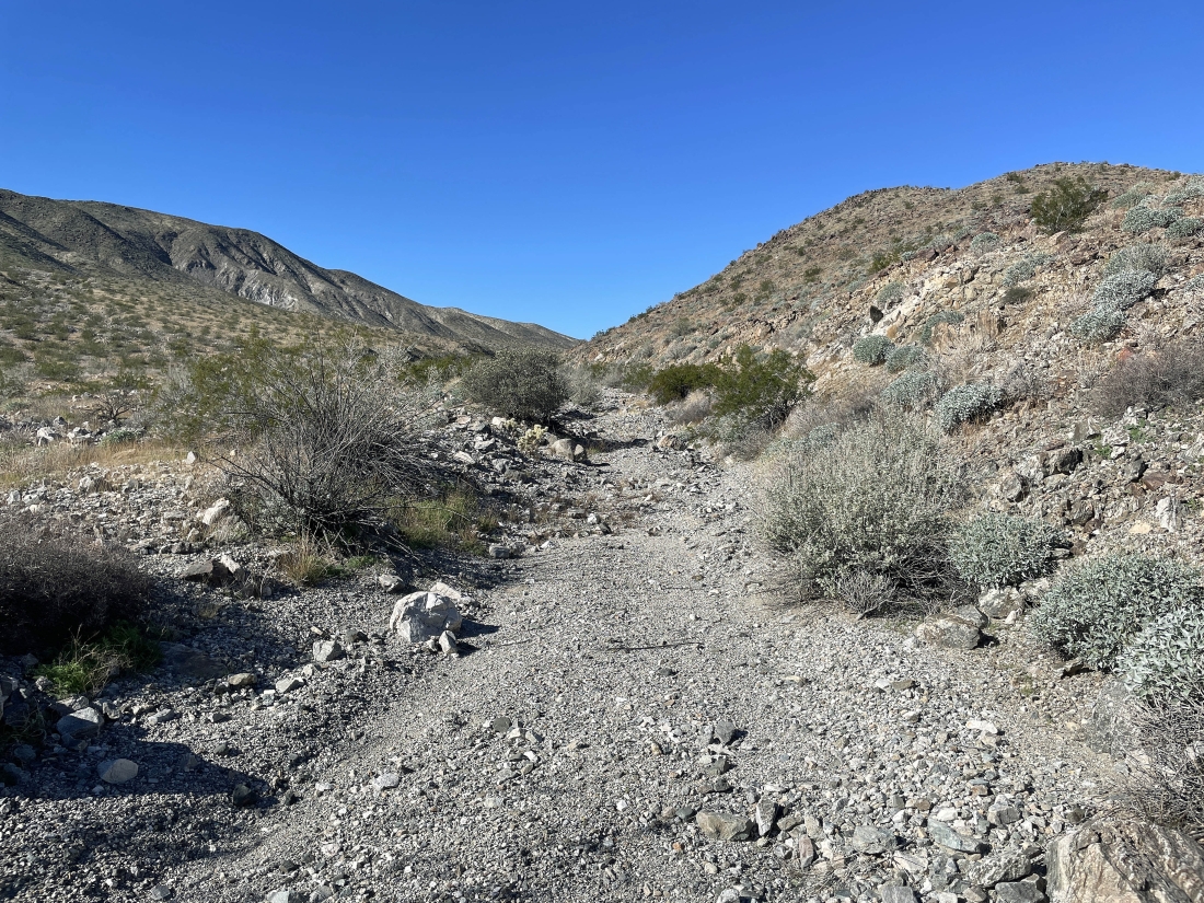
After hiking SW for 1.4 miles from where we parked we are heading west up a big valley.
|
We can see the Eldorado Mine out there in the distance.
|
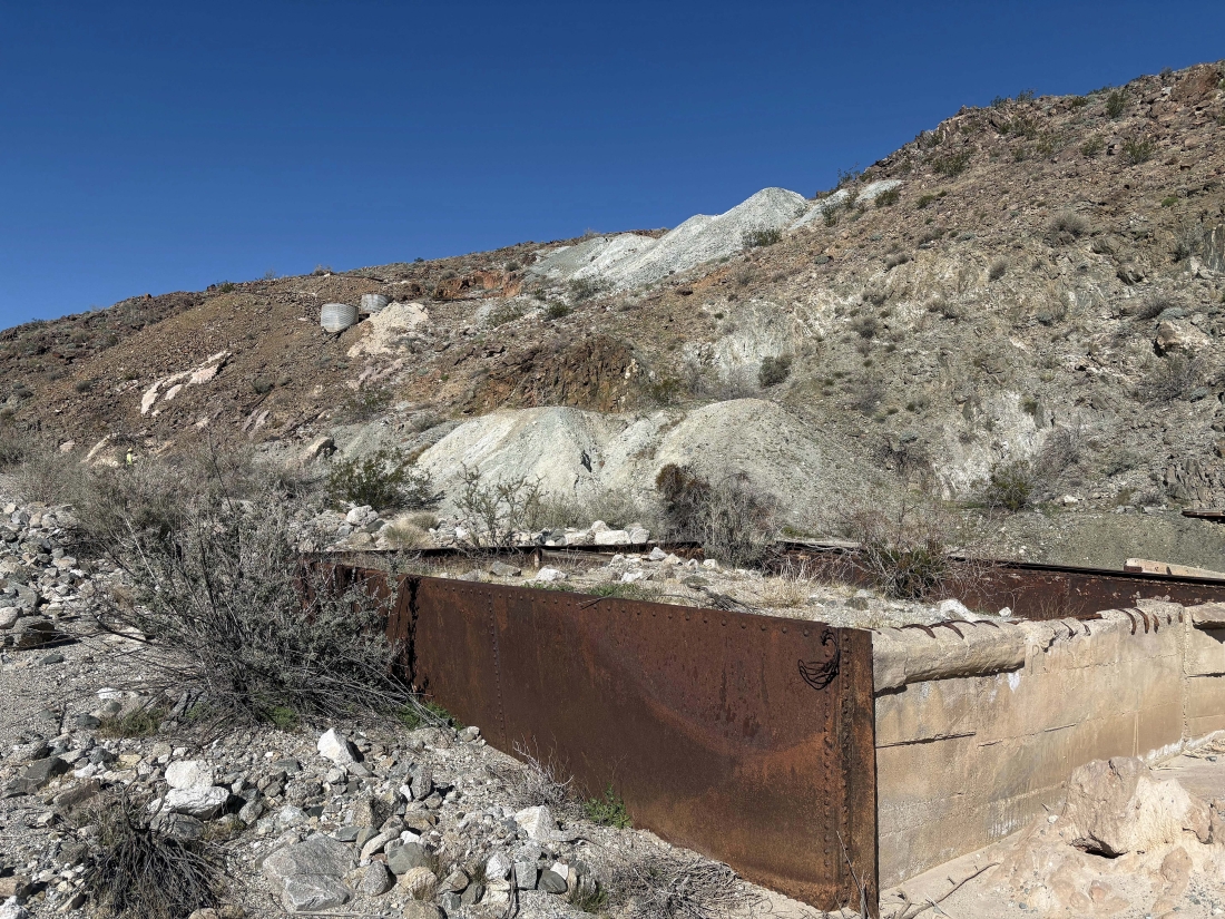
There were several precipitation tanks at the mine... mines use precipitation tanks to treat water contaminated with pollutants, such as acid mine drainage, neutral drainage, and pit lake water. These tanks are designed to separate the precipitated solids from the cleaned water, typically through a clarifier.
|
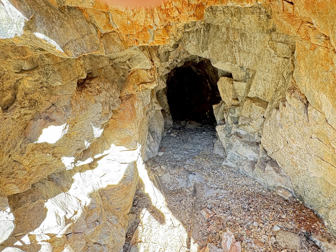
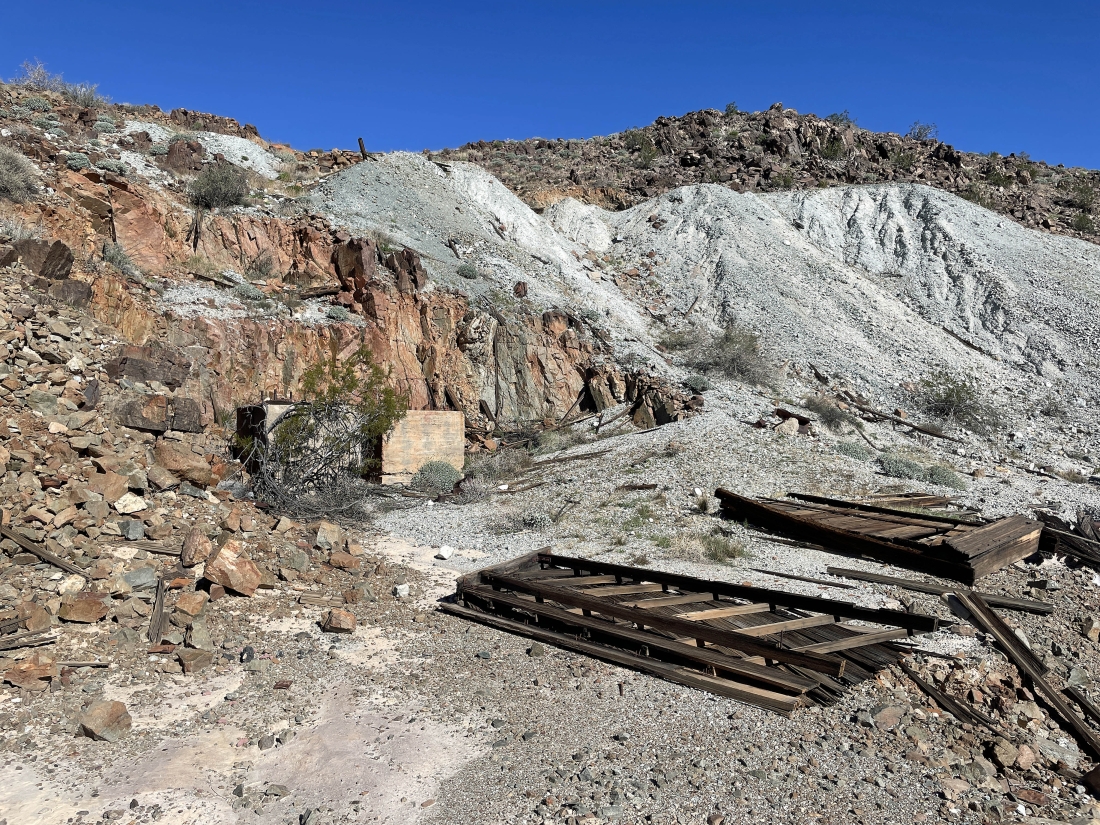
After hiking a total of 1.9 miles we found one of the mine shafts that went in 15 feet.
|
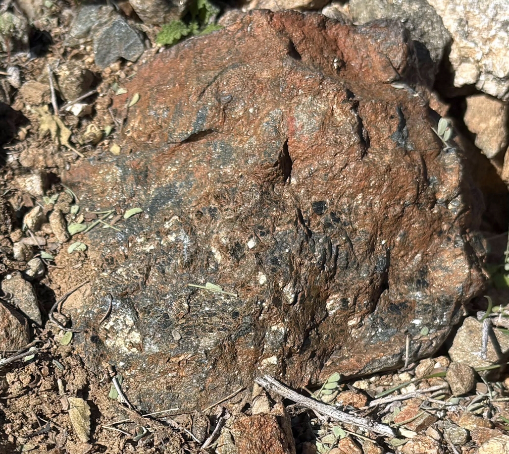
Denali Girl said this was gold... hmmm... not so sure.
|
I decided to hike up this steep terrain to see what was up there.
|
I will head over to those two cyanide tanks on the left.
|
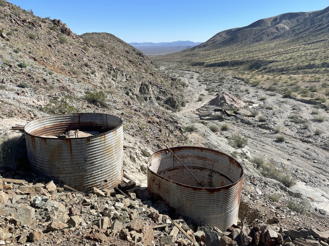
Above the two cyanide tanks... mines use cyanide primarily due to its high efficiency in dissolving gold from ore, allowing for high recovery rates... and I can see the precipitation tanks in the distance down on the desert floor.
|
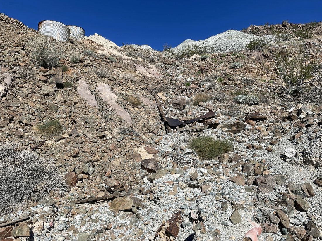
Exploring the mine area above the desert floor.
|
A pano shot looking down at the Eldorado Mine from the ridge above it.
|
|
From the ridge above the mine I am getting ready to go back to the car by using the narrow valley down below... with Pinto Mountain on the left-center horizon... and Pinto Basin out there in the distance in the middle of the photo.
|
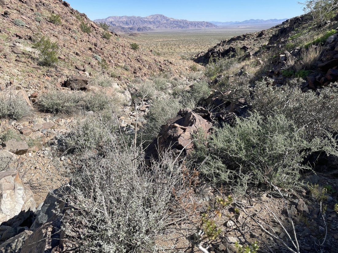
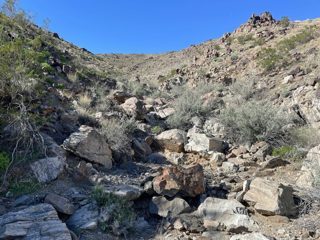
Working my way down the narrow canyon as I head back to the car.
|
Looking back at the narrow canyon I just used to get here.
|
Out of the narrow canyon and back on easy terrain... heading toward Pinto Mountain on the left-center horizon.
|
We are parked on the other side of the two little bumps in the foreground... the total hike was 3.9 miles, gaining 506 feet of elevation.
|
