Tanzbotini - 1.19.2026
|
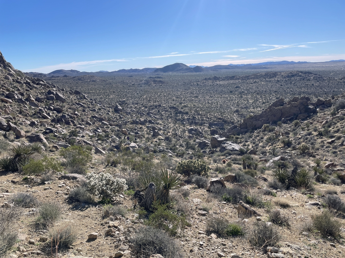
From Park Blvd in Joshua Tree National Park we turned north on Bighorn Pass Road... then drove on it for a very short distance and turned right on the unsigned O'Dell Road... then drove to the end of O'Dell Road. We have started hiking toward Queen Mountain... but we will eventually head for the visible low point on the horizon out there on the far left.
|
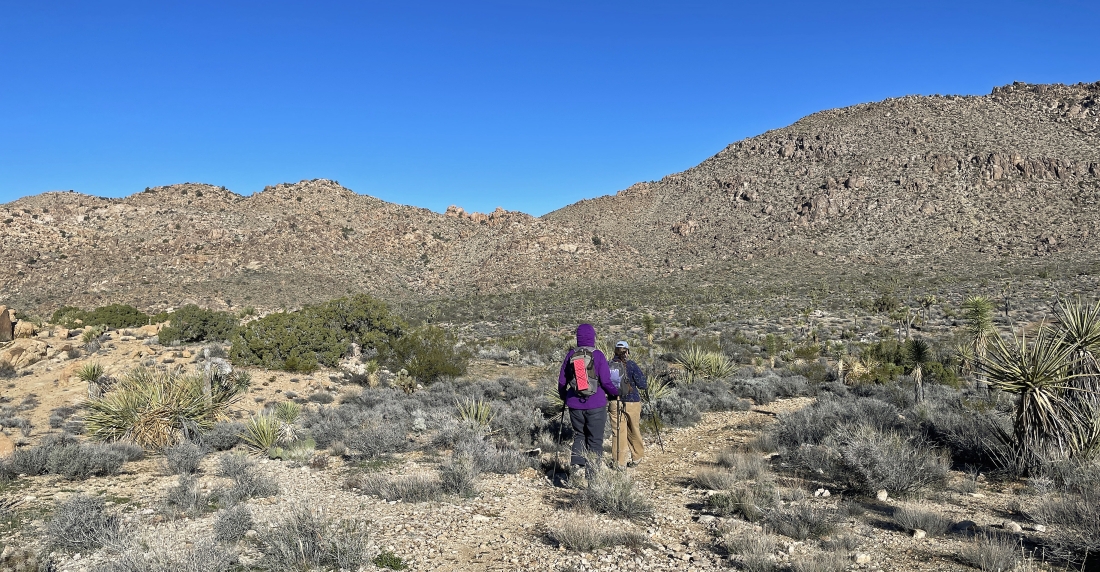
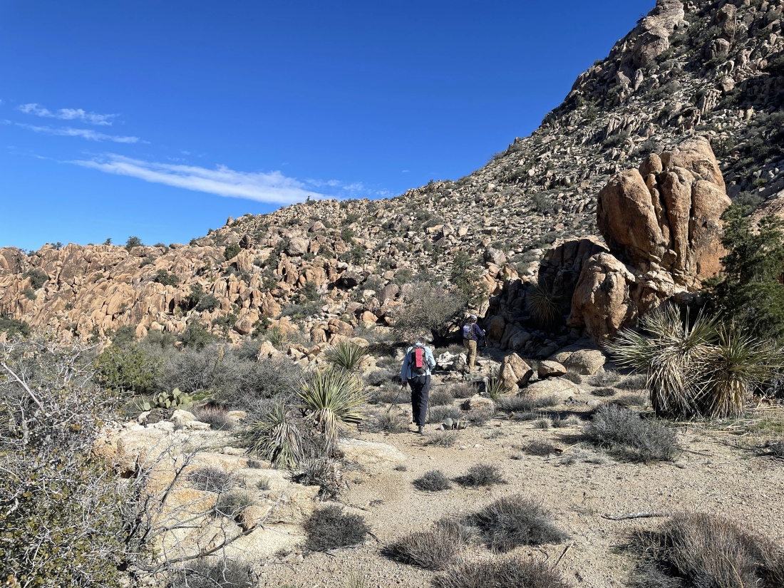
Heading for the visible low point on the horizon.
|
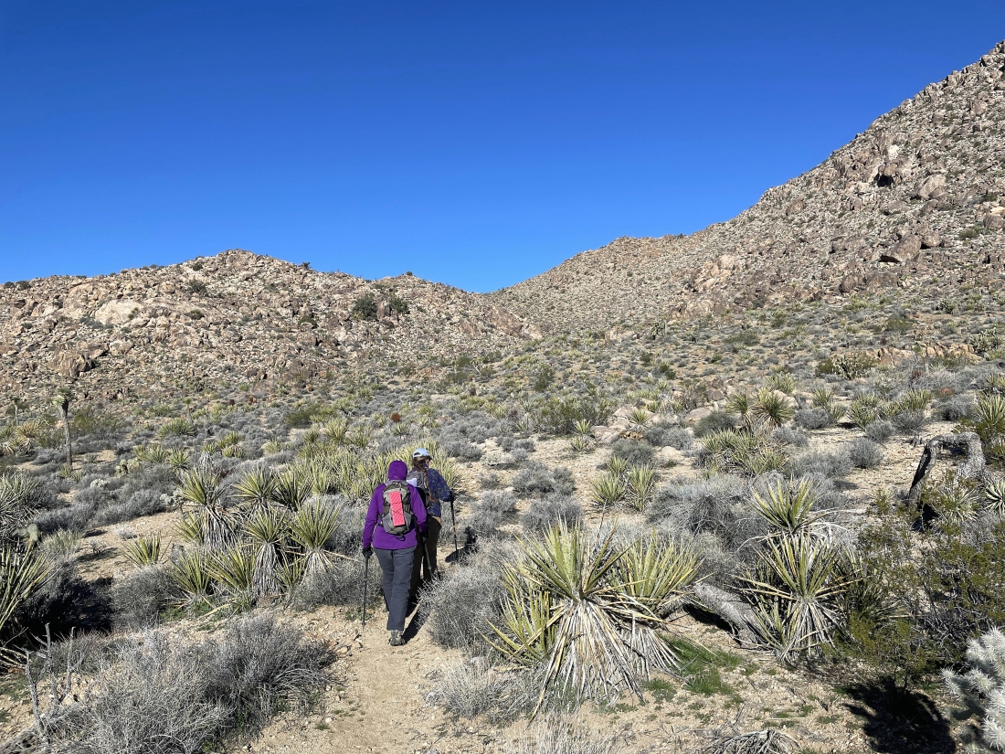
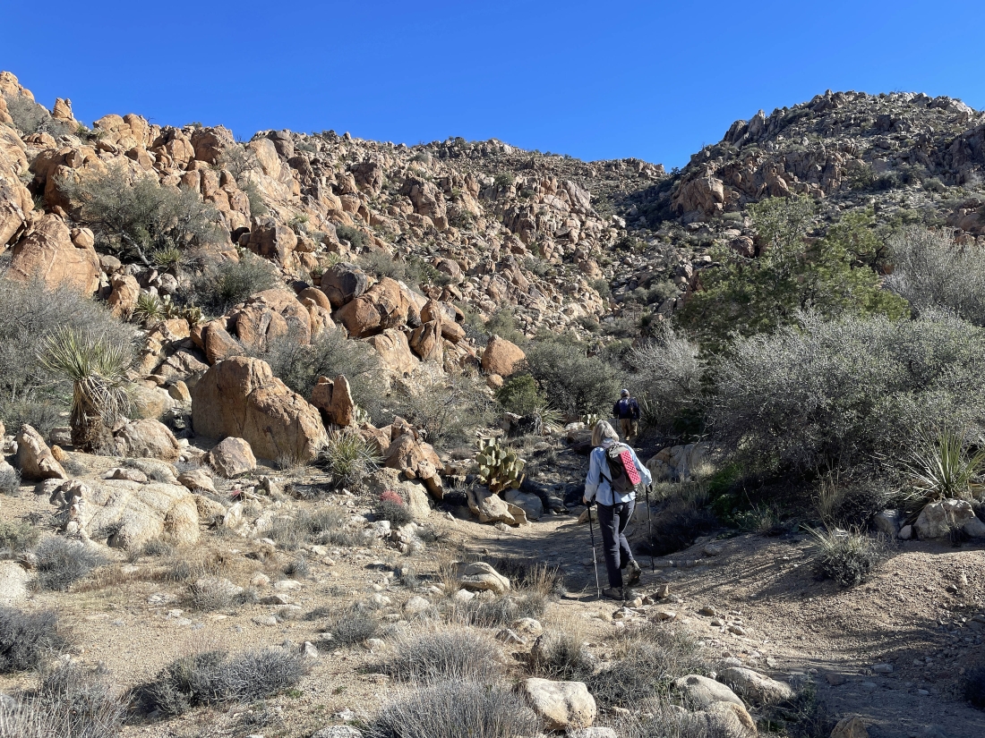
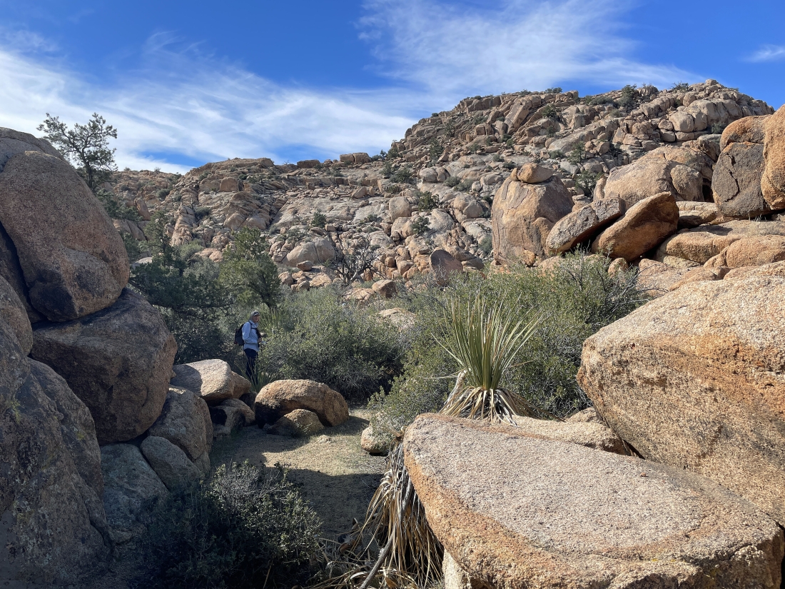
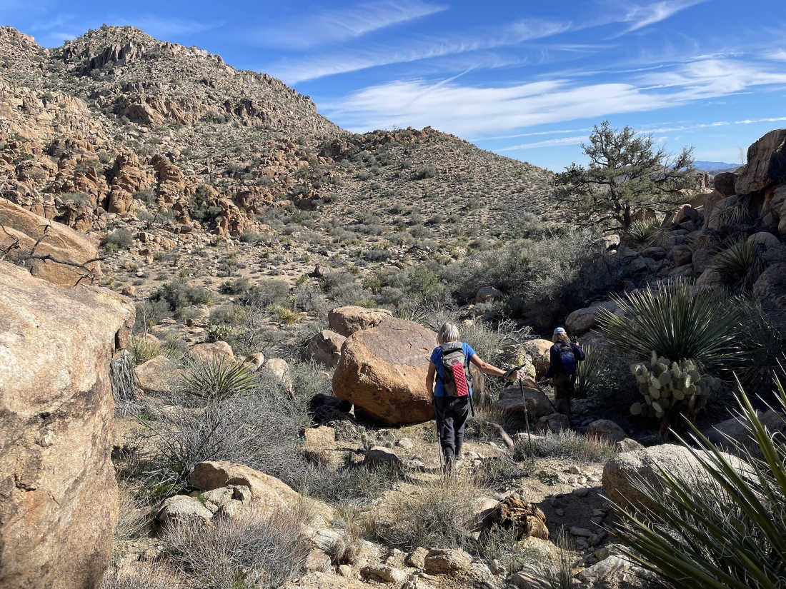
After hiking a half-mile from the car we see a huge pile of big black boulders on the far left... and this is where we will leave the main trail that continues on up to the summit of Queen Mountain... and we will turn left at the pile of rocks.
|
Getting ready to pass by the big pile of huge black boulders... heading for the visible low point on the horizon.
|
Continuing to hike NW... but here we are looking SW... and can see the San Jacinto Mountains on the horizon in the middle of the photo.
|
Continuing to hike NW and getting closer to the visible low point on the west shoulder of Queen Mountain.
|
Getting closer to the visible low point on the west shoulder of Queen Mountain.
|
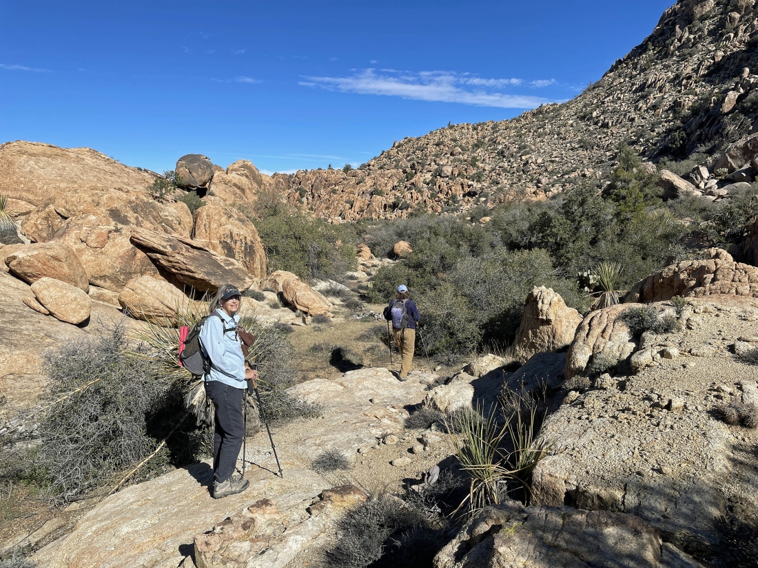
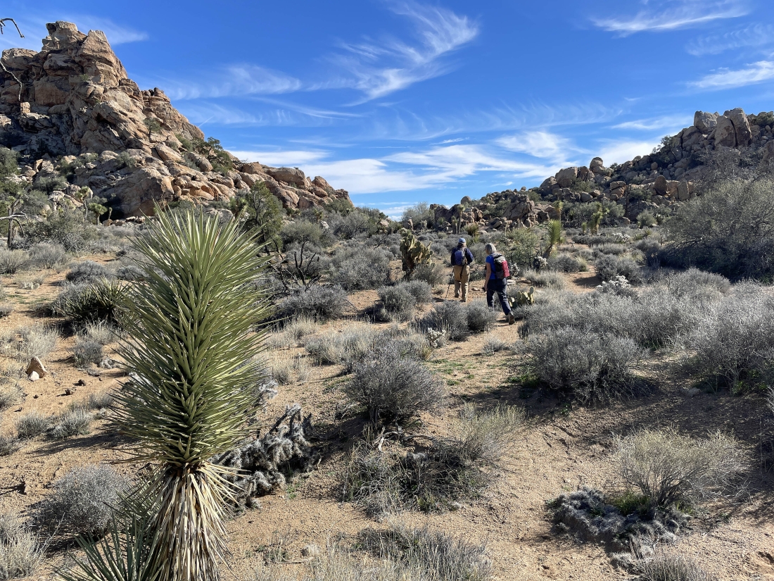
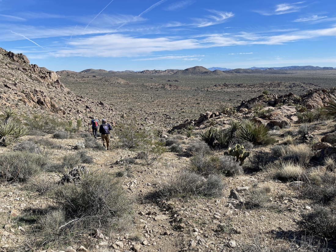
After hiking a total of 1 mile we have reached what was the visible low point from the car... we will begin a 3 mile loop from here... returning here after doing a 3 mile loop hike. Here looking south across Queen Valley.
|
Still at our one mile mark... looking NW over at the main route to the very large wash on the west shoulder of Queen Mountain... we will come back down through there to close the 3 mile loop portion of our hike.
|
Hiking north now... heading for the white circled area on the right where we will gain 60 more feet of elevation to find another flatish area.
|
Gaining a little elevation as we head for the white-circled area in the previous photo.
|
Working our way up the 60 feet of elevation that will get us up to a flatish area.
|
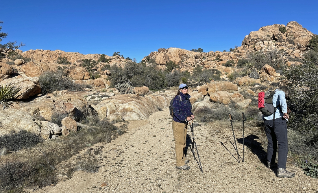
We have reached the flatish area... and will be heading for the white-circled area in the distance.
|
Continuing to hike north... the white-colored circle in the previous photo is not visible here... we will find it on the right edge of the photo in the distance.
|
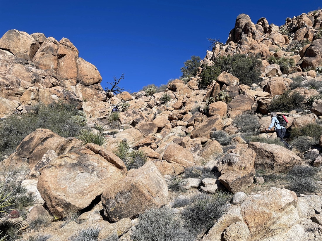
Gaining another 50 feet of elevation... looking for another flatish area.
|
Continuing to work our way up.
|
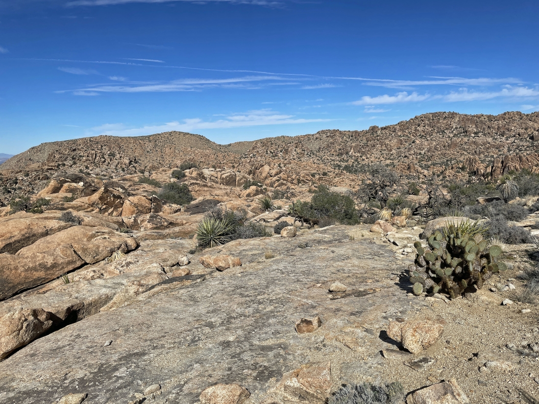
We have reached the flatish area and will be heading for the shelf out there on the horizon in the middle of the photo.
|
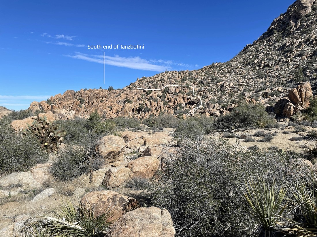
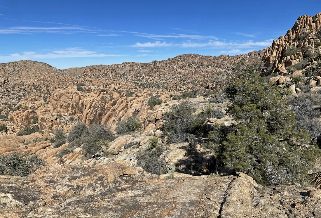
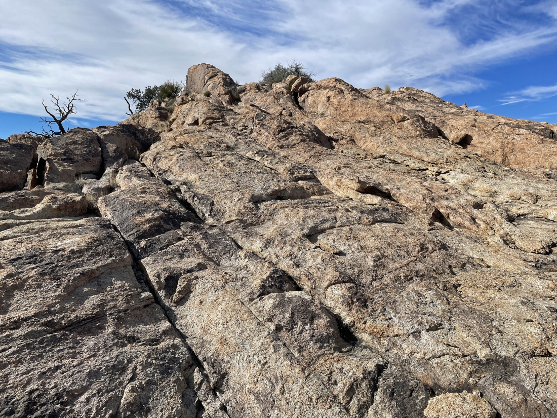
We named the shelf in the distance 'Tanzbotini'... and the white line gives an idea on how we will get up there.
|
Getting closer to our route up to the south end of 'Tanzbotini' on the left horizon.
|
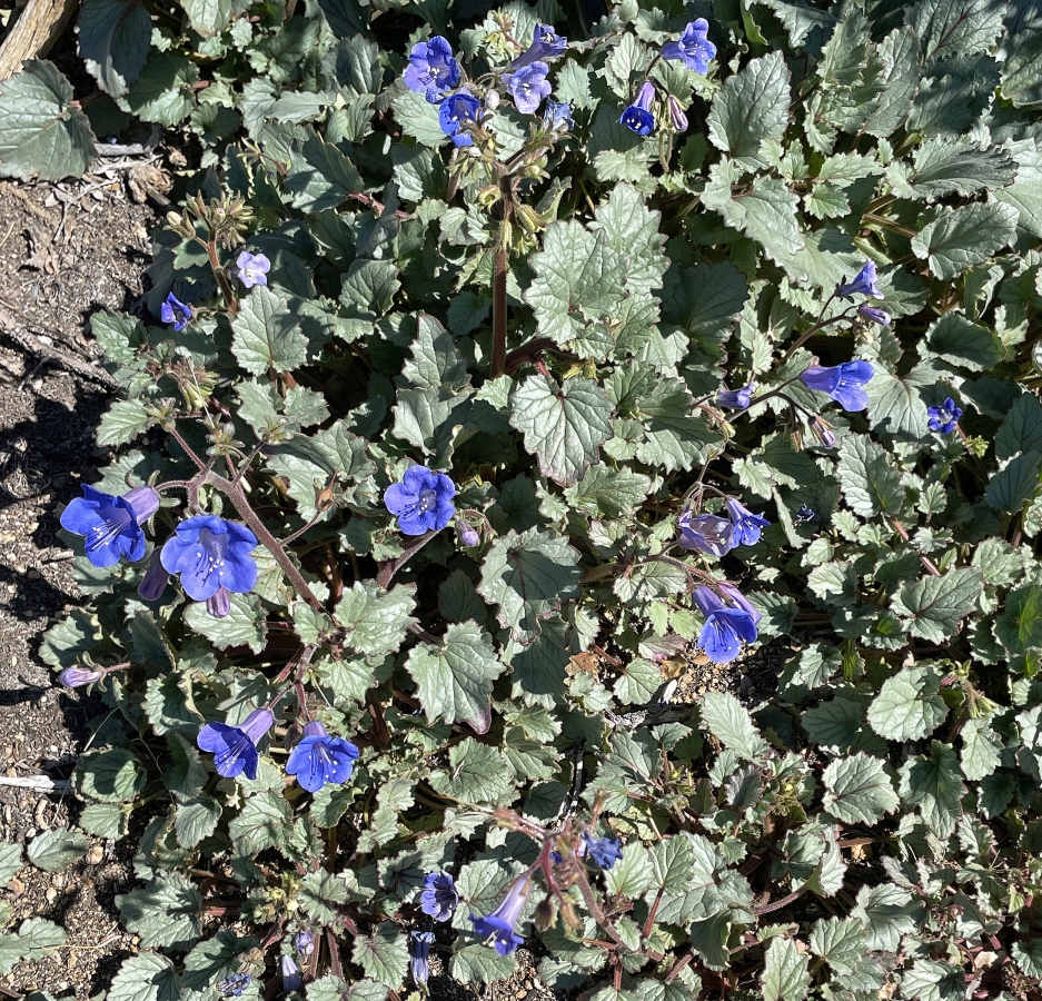
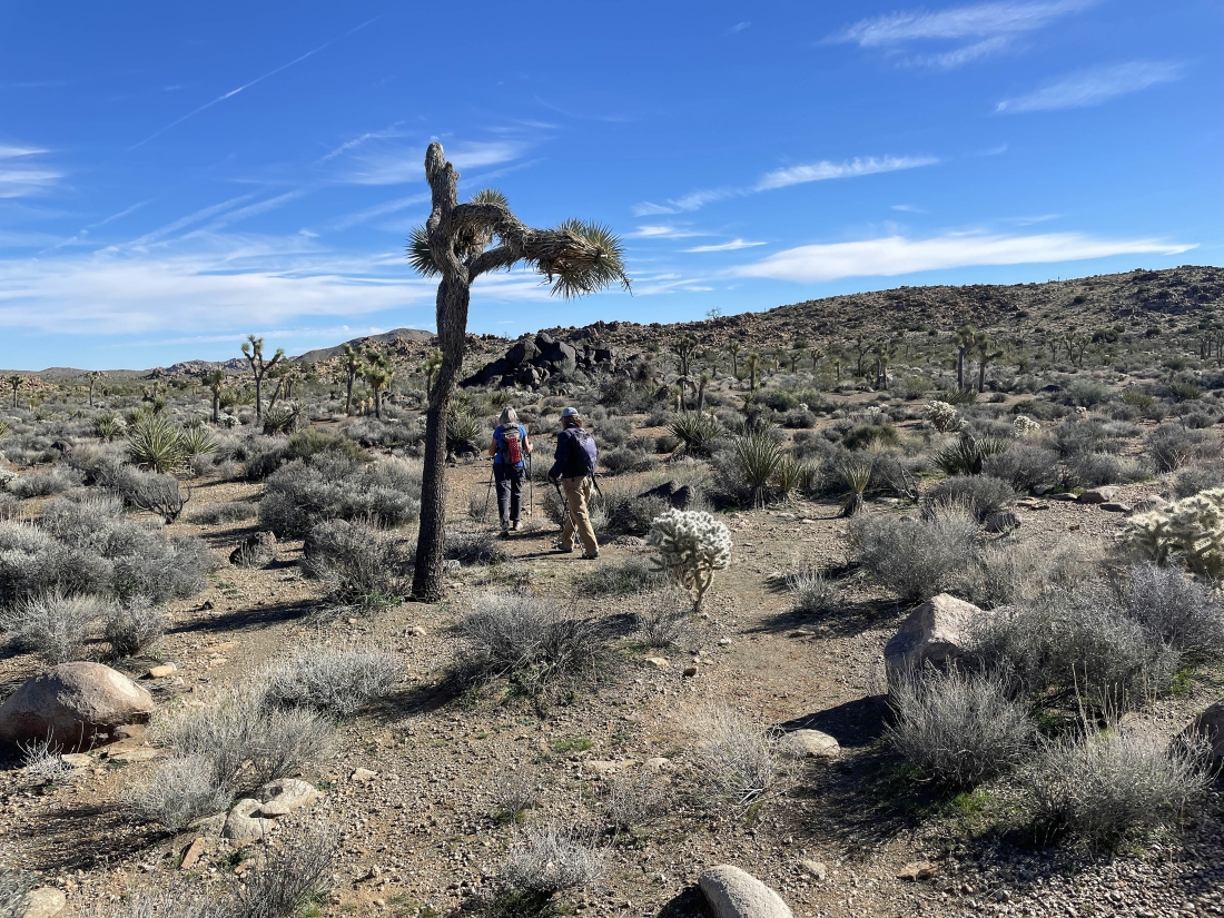
Canterbury Bells at the south end of Tanzbotini.
|
|
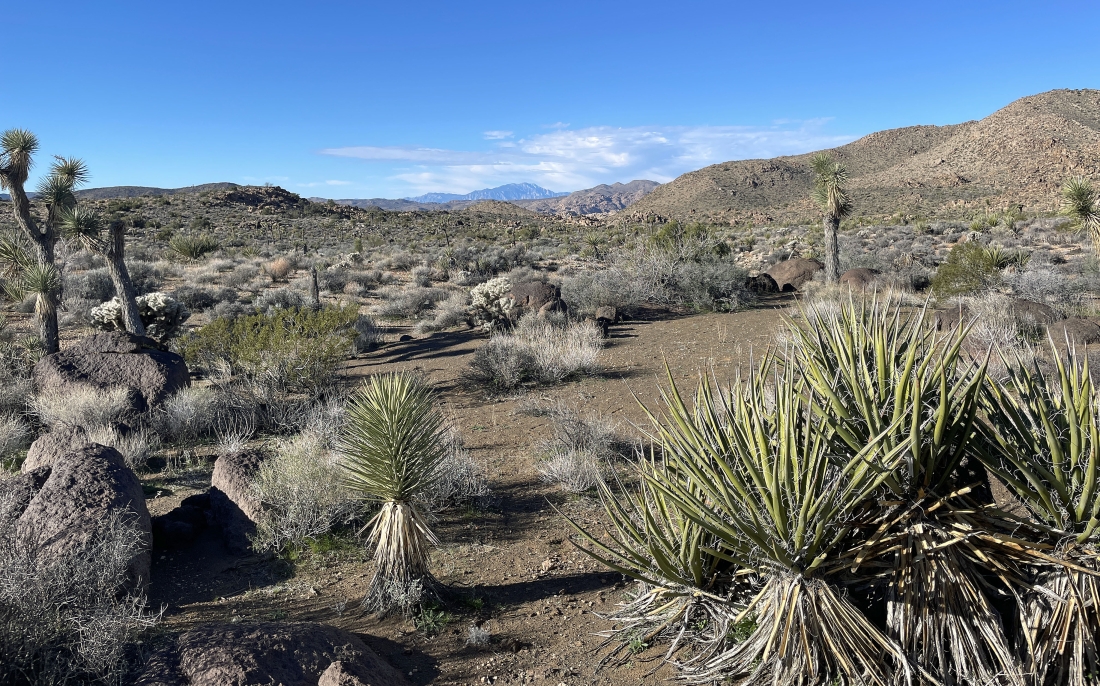
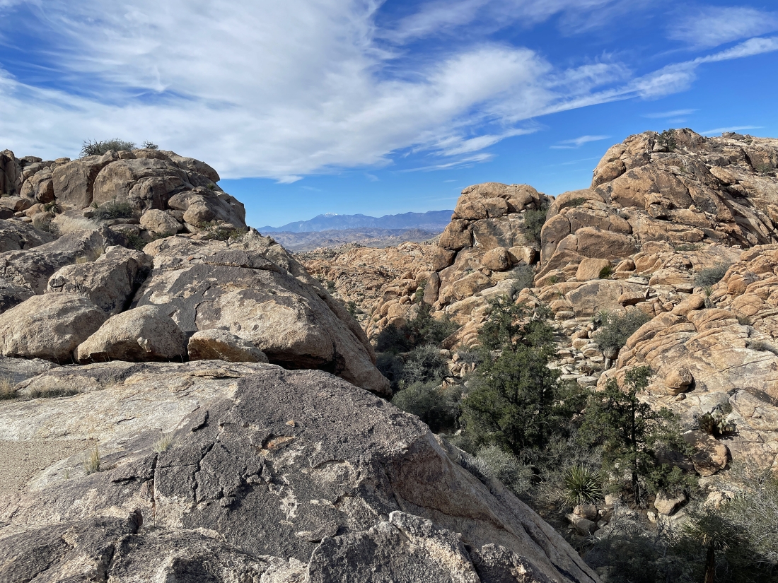
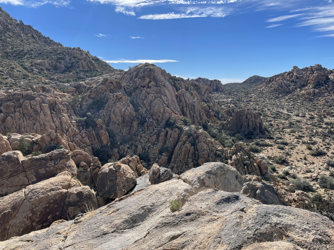
We have reached the south end of Tanzbotini... at 5,010 feet of elevation... looking west across the very wide wash to Tanzbodeli in the foreground... with the 11, 500 foot snow capped San Gorgonio Mountain on the horizon.
|
Denali Girl on the smooth rock at the south end of Tanzbotini.
|
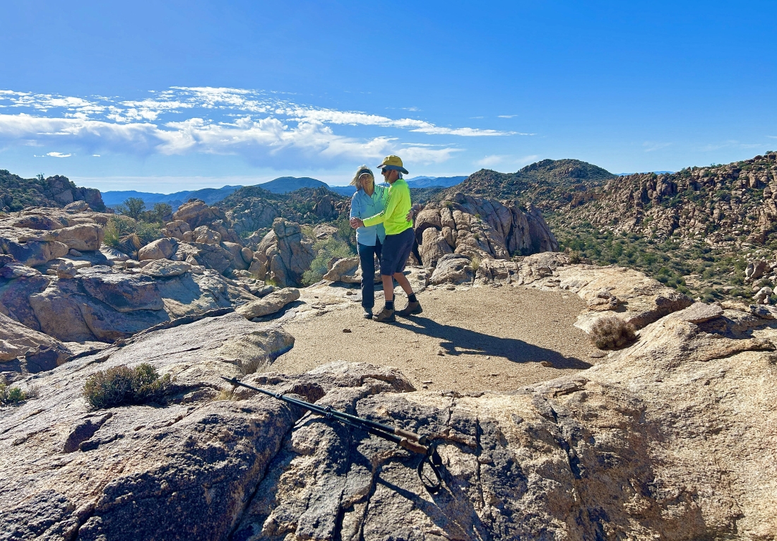
Star Dancer took this photo of Denali Girl and me on the Tanzbotini dance floor.
|
Looking west from Tanzbotini... the white circle identifies Tanzbodeli.
|
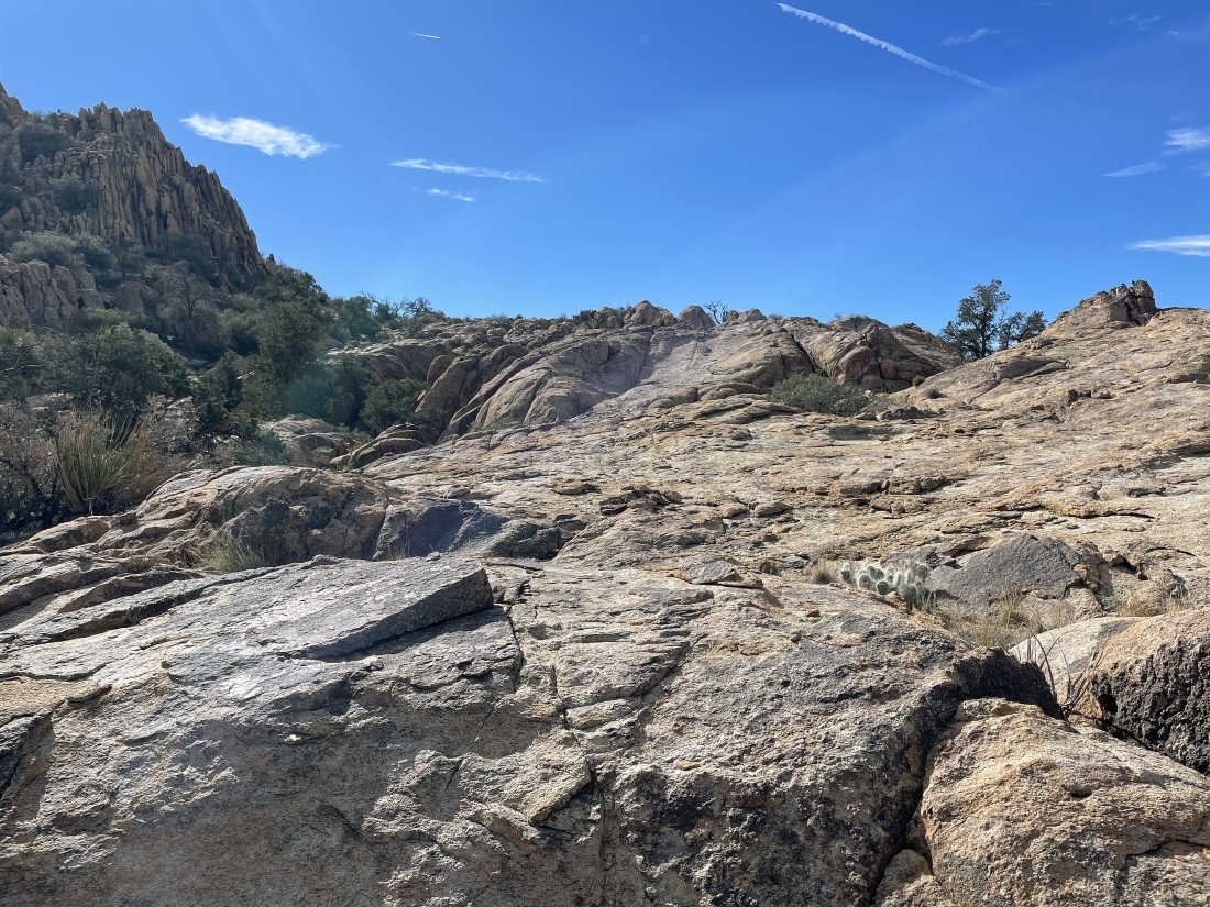
We will continue hiking north giving up a little elevation as we continue along Tanzbotini.
|
Continuing to hike north giving up a little elevation as we continue along Tanzbotini.
|
Continuing to hike north giving up a little elevation as we continue along Tanzbotini.
|
Continuing to hike north giving up a little elevation as we continue along Tanzbotini.
|
Looking back at the Tanzbotini terrain that we have just come down.
|
Looking west through this gully in the Tanzbotini area at San Gorgonio Mountain on the horizon.
|
|
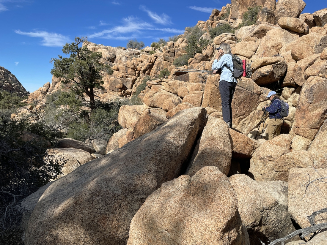
Looking back at Star Dancer and Denali Girl as they come down the Tanzbotini terrain to join me.
|
Hiking north as we continue down the Tanzbotini area.
|
Looking back to the south.
|
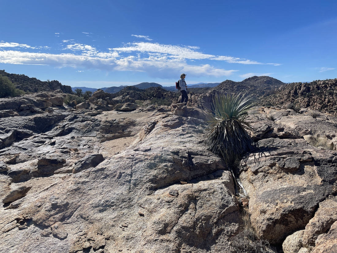
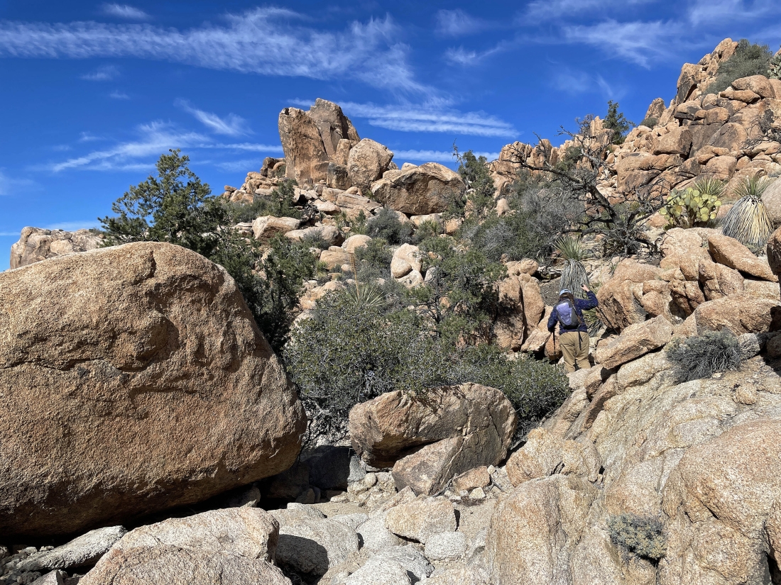
Looking back to the south as we continue hiking north... I'm going to hike out to the top of the rock on the far right.
|
Heading for the top of this rock area.
|
Looking south from my high point in the north end of Tanzbotini.
|
Looking south from my high point in the north end of Tanzbotini... Tanzbodeli is on the other side of the rock formations in the far right foreground... on the other side of the huge wash.
|
We are at the northern end of Tanzbotini... getting ready to head down to that wall of rock in the distance below us... then we will hike to the west and head over to the large wash on the far left. Tanzbodeli is on the other side of the huge rock formations on the far left.
|
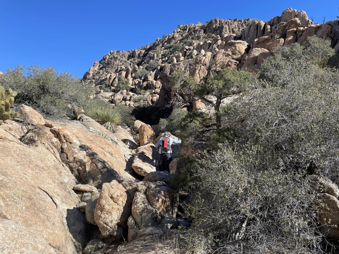
We have reached the rock wall and started hiking west... looking for the huge wash on the west shoulder of Queen Mountain.
|
Continuing to hike west... looking for the huge wash on the west shoulder of Queen Mountain.
|
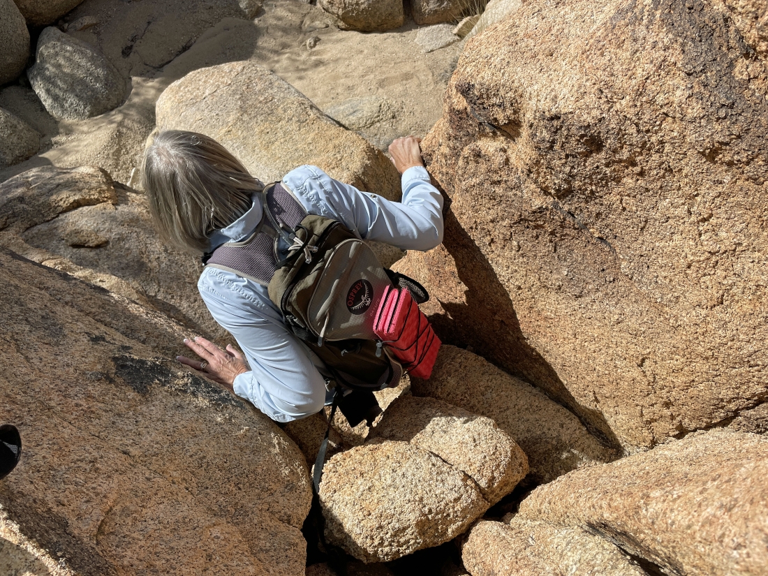
Continuing to hike west... looking for the huge wash on the west shoulder of Queen Mountain.
|
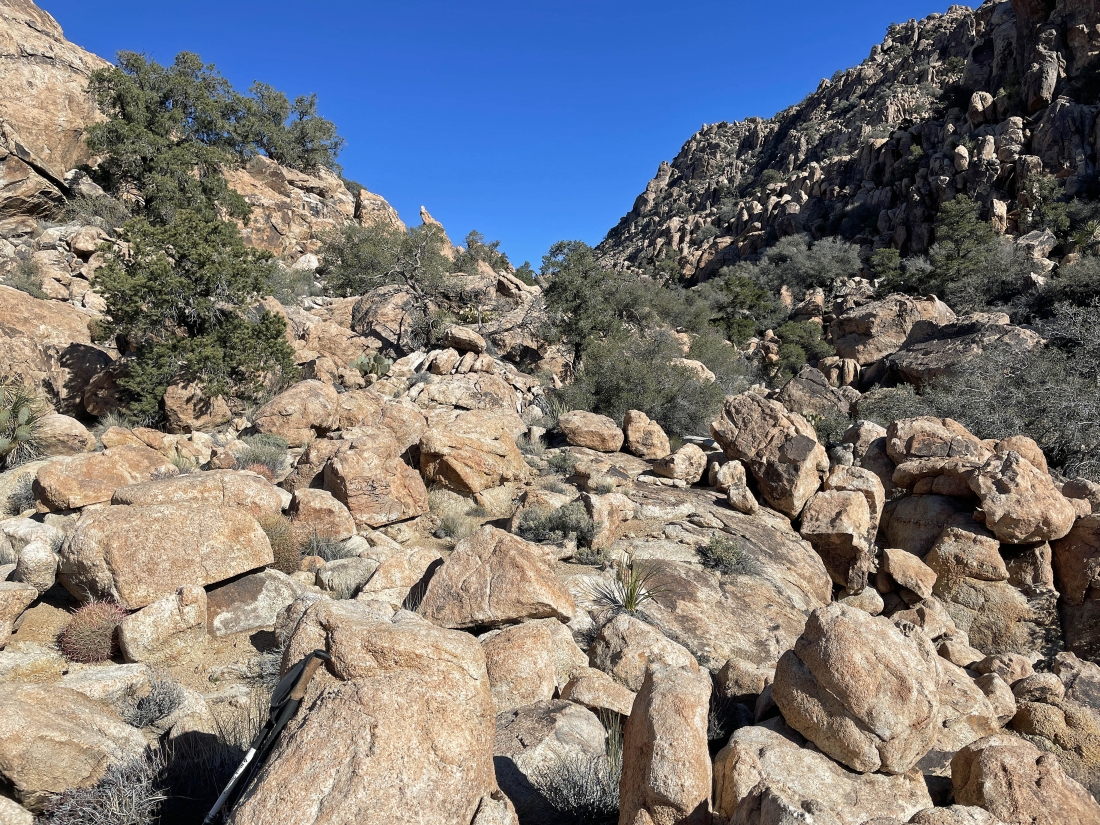
Almost back to the huge wash.
|
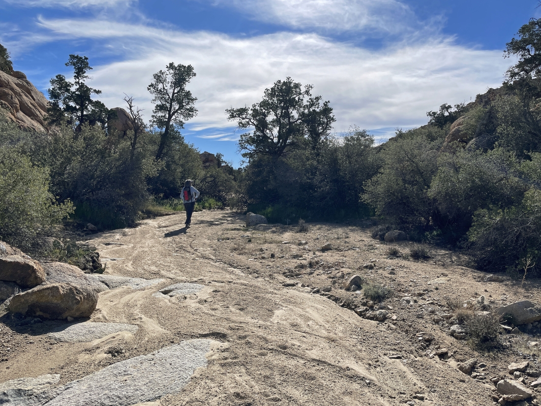
We have reached the huge wash and are now hiking south... looking to close the 3 mile loop section of our hike.
|
Continuing to hike south... but here looking back to the north at a section of this huge wash. Tanzbodeli is on the other side of the gap on the extreme far left... while Tanzbotini is on the other side of the walls of rock on the right. Hard to believe there is flatish rock on the other side of the rock walls on the right.
|
Continuing to hike south in the huge wash... heading for the low point out there on the horizon in the middle of the photo.
|
Continuing to hike south in the huge wash.
|
Giving up a little elevation from the huge wash as we get ready to close the 3 mile loop portion of our hike.
|
We have closed the 3 mile loop section of our hike and getting ready to drop down into Queen Valley.
|
Getting ready to pass by that huge pile of black boulders as we trace our steps back to the car.
|
We can see our car out there in the middle of the photo... the total hike was 5 miles, gaining 774 feet of elevation.
|
