Quail Mountain - 1.24.2026
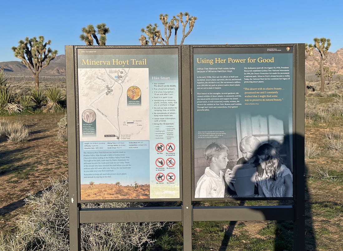
I parked at the Minerva Hoyt Trailhead in Joshua Tree National Park. The trail goes over to the very popular Hidden Valley area... but I'm going cross-country in a totally different direction to Quail Mountain.
|
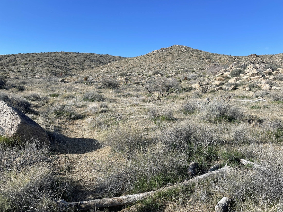
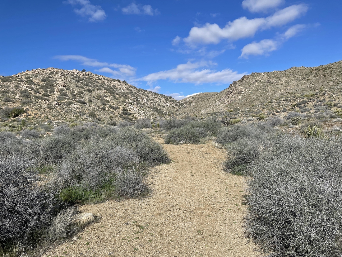
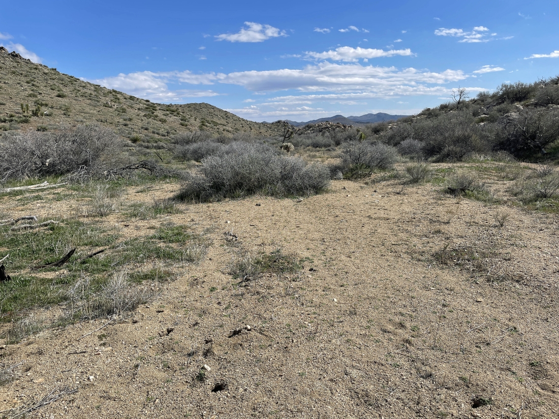
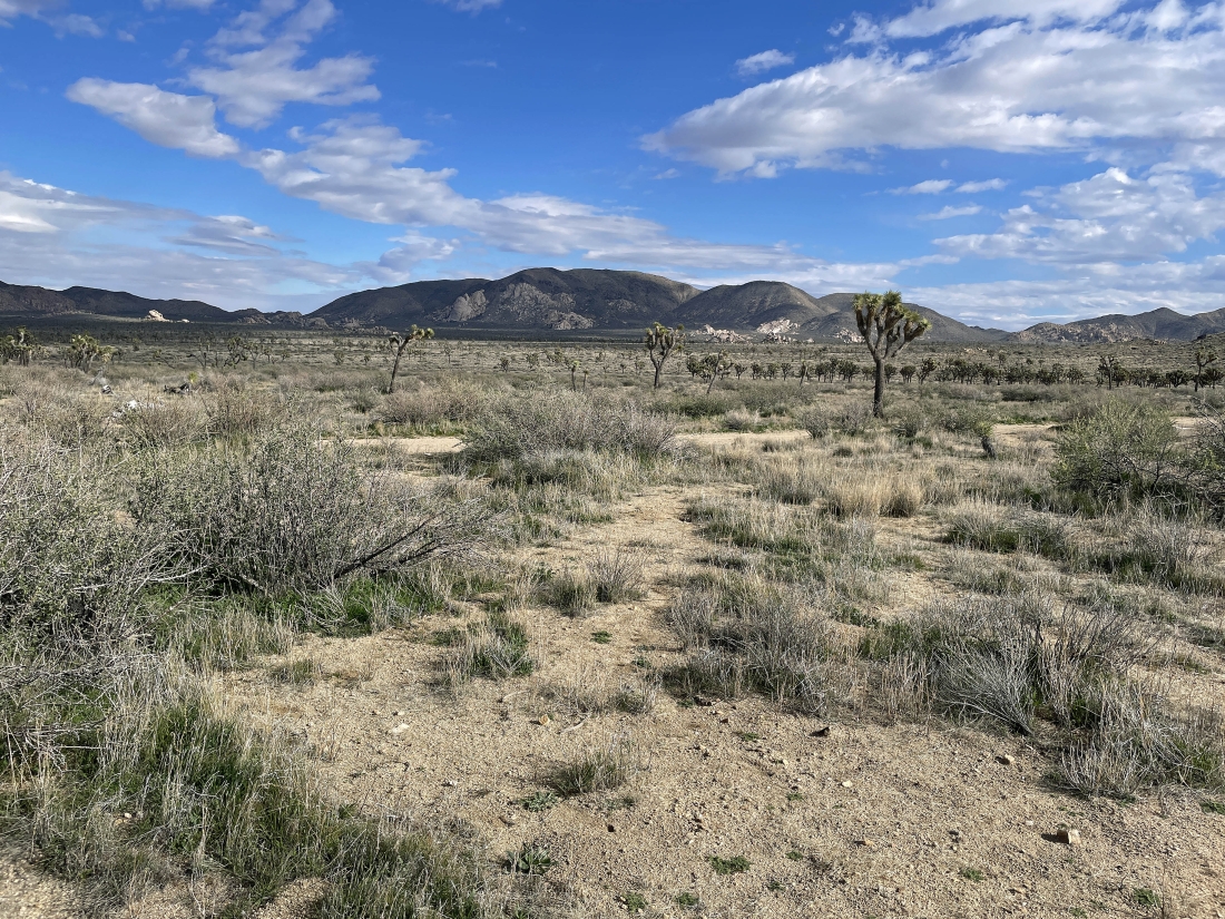
Heading cross-country across the desert floor... heading for Quail Mountain on the horizon in the middle of the photo.
|
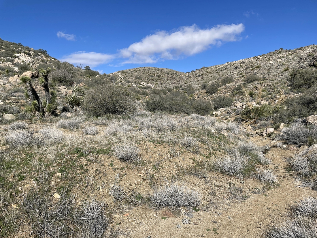
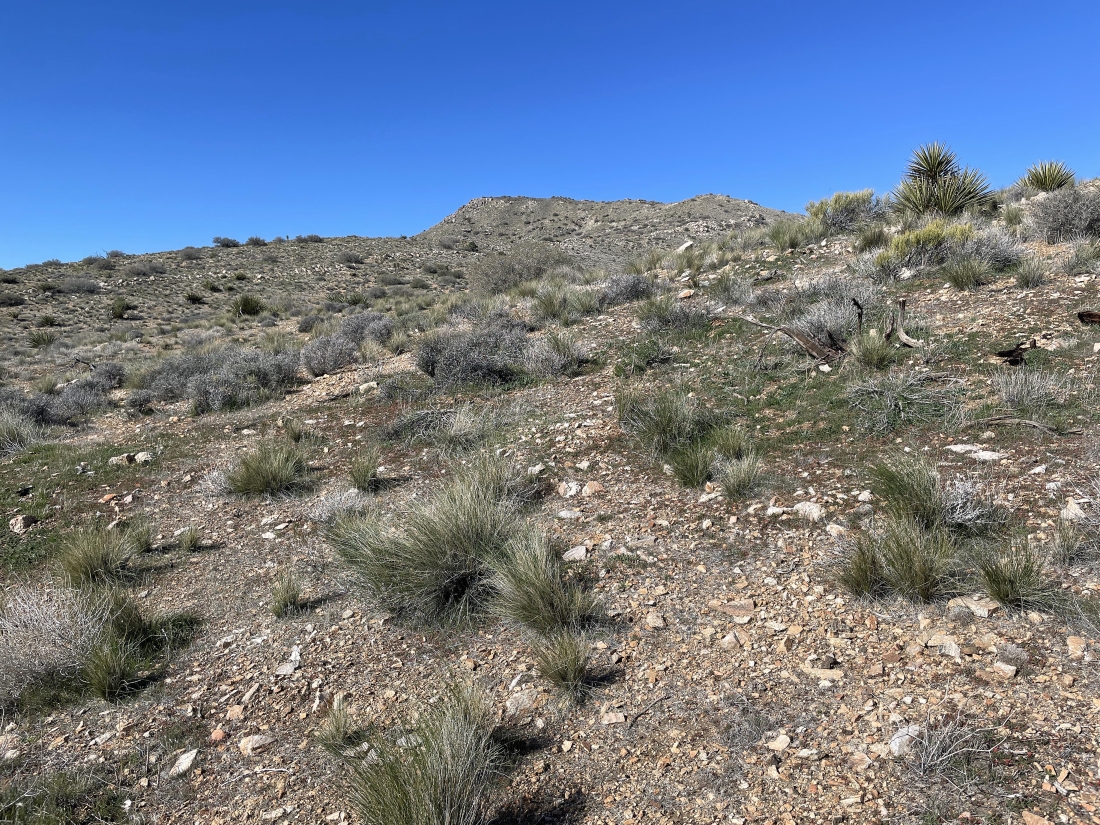
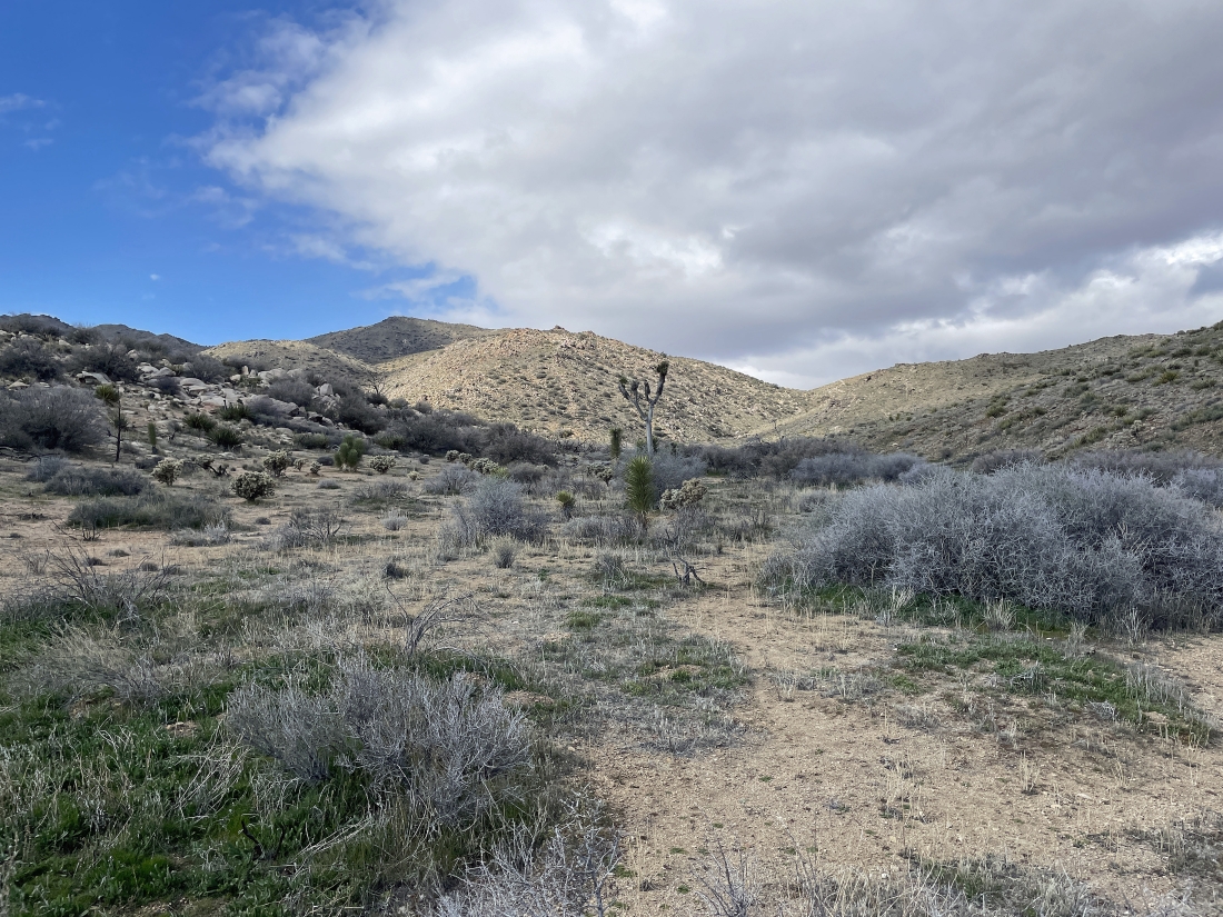
Starting to gain a little elevation after hiking two miles. Quail Mountain is on the horizon in the middle of the photo. I'm going to head over toward the ridge line on the far left.
|
Heading toward the ridge line just to the right of the bump in the left foreground. I can see Quail Mountain on the extreme far right horizon.
|
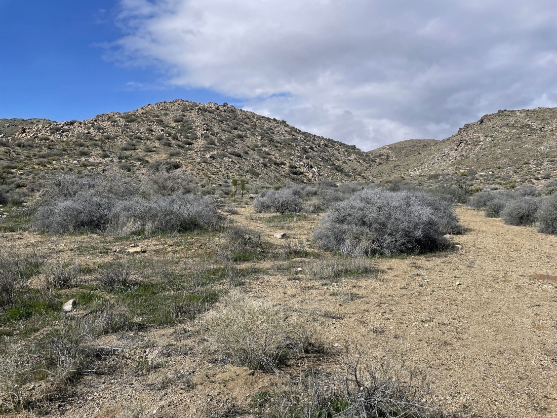
Heading for the gully on the other side of the bump in the foreground.
|
|
Looking back the way I have come past the bump on the right.
|
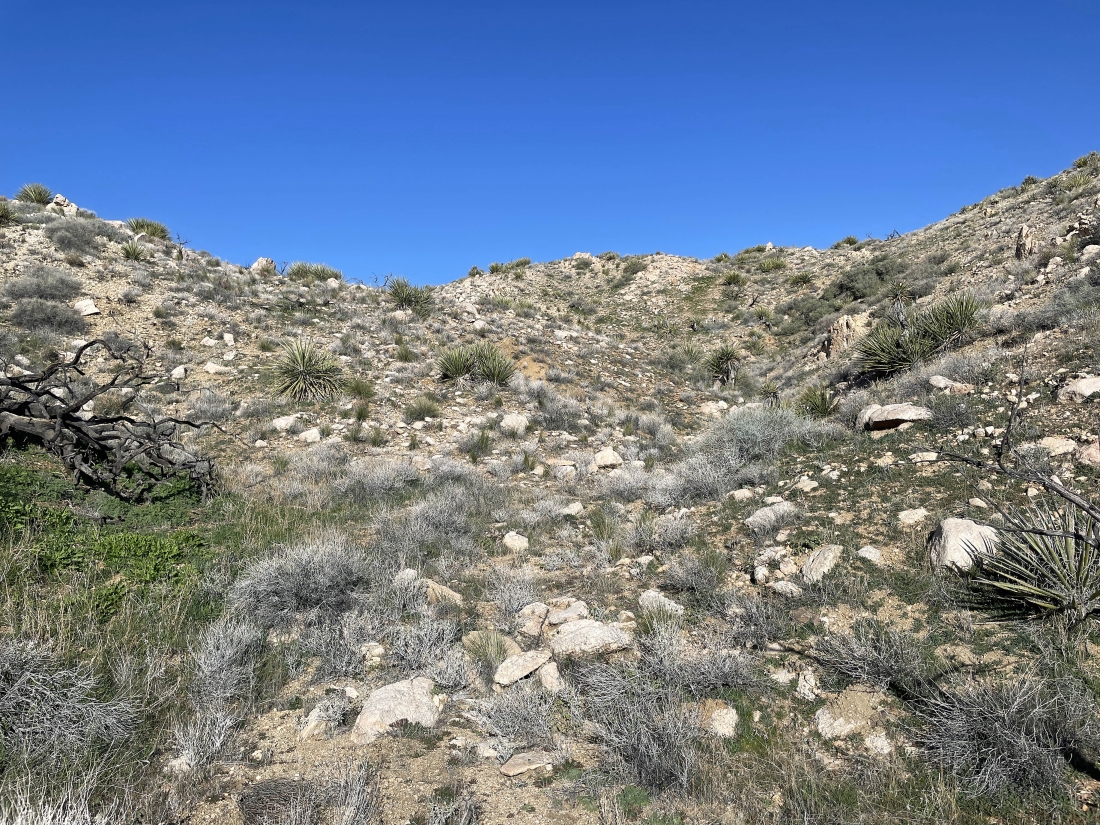
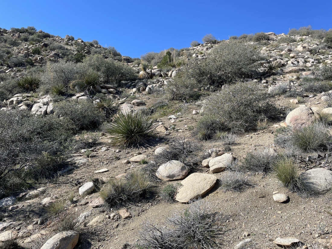
Heading up this gully.
|
On the ridge... coming up the gully on the right... here looking back where I came from back toward Ryan Mountain.
|
Nearing the ridge on the left... with Quail Mountain on the far left horizon... with Mount Minerva Hoyt on the far right horizon. In 1936 Minerva convinced President Franklin D. Roosevelt to make Joshua Tree a national monument... and it became a national park in 1994.
|
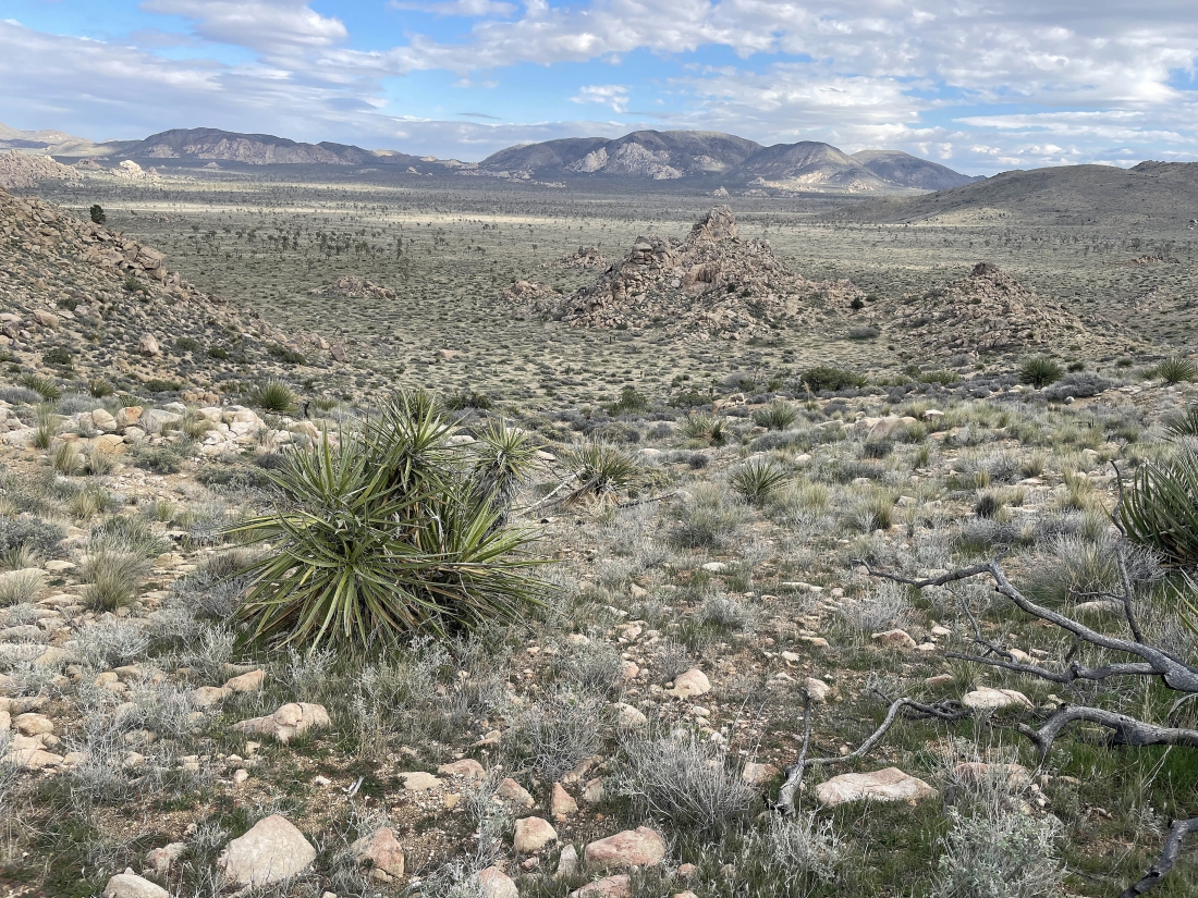
I have reached the ridge, but it looks like I will have to give up a little elevation before I can get up to Quail Mountain on the horizon in the middle of the photo. Out there on the far left horizon are the San Jacinto Mountains located above Palm Springs.
|
Giving up a little elevation as I head for the gully in the right-center of the photo.
|
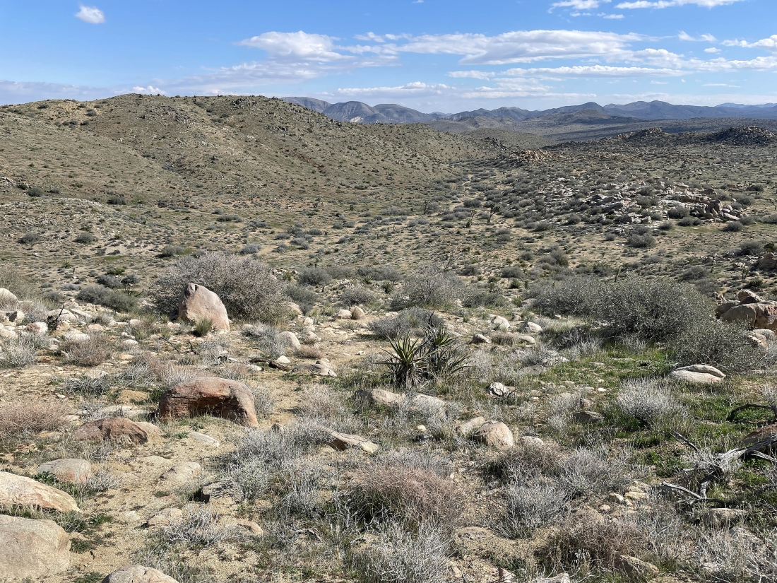
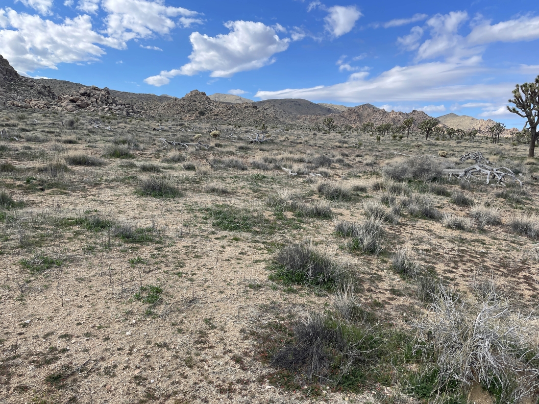
Heading for the gully out there in the distance. On my way back down from the summit I will come down from the bump on the left and not deal with the gully that I'm going to use on the way up.
|
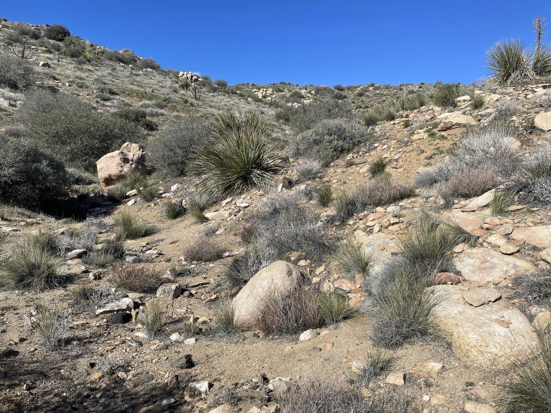
Continuing up the gully... and I will go to the left up ahead and get up on another ridge.
|
Heading up toward a ridge.
|
Heading up toward a ridge.
|
|
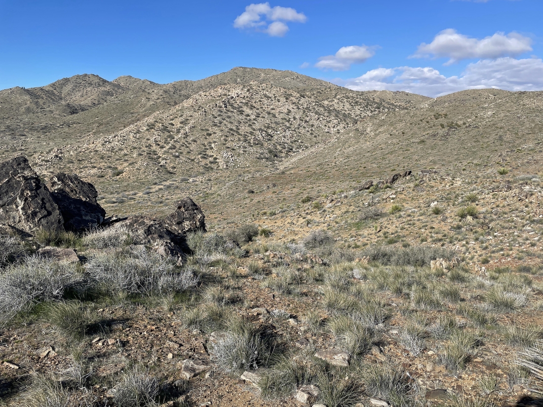
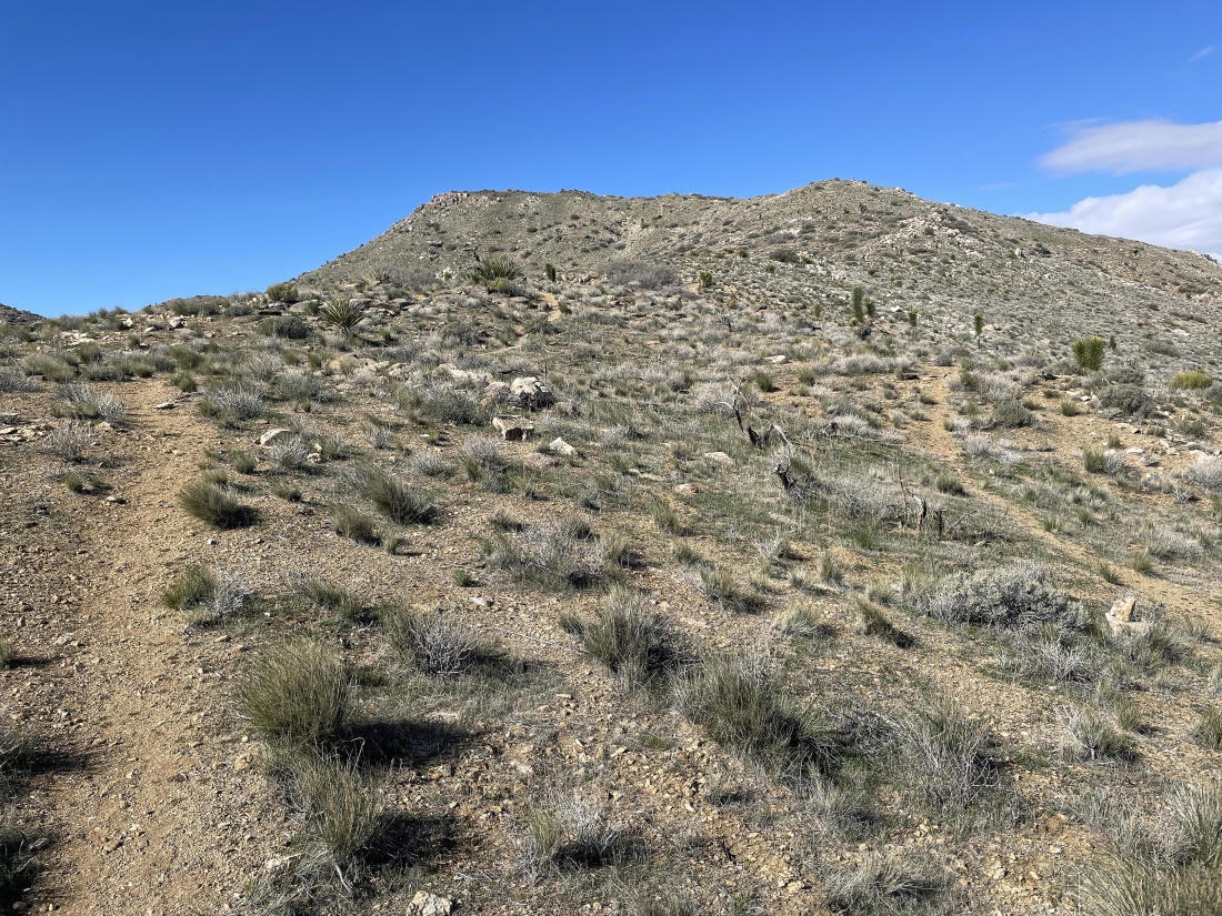
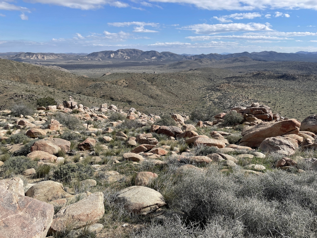
Almost at the ridge on the SE shoulder of Quail Mountain... here looking back at the gully I have just dealt with... with Ryan Mountain on the horizon in the middle of the photo.
|
On the SE ridge leading to Quail Mountain on the horizon.
|
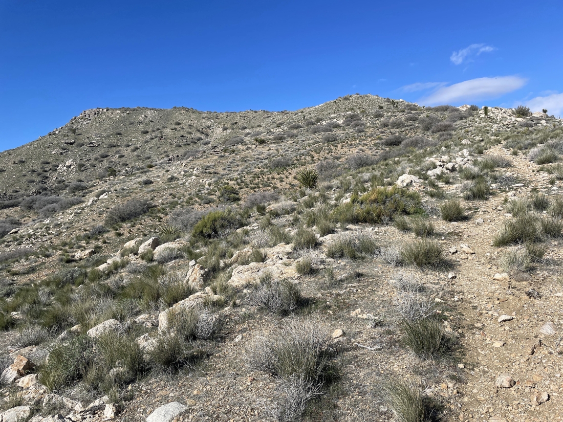
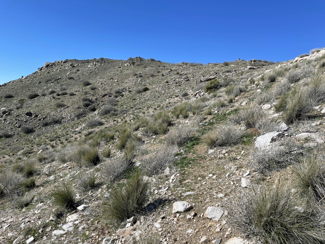
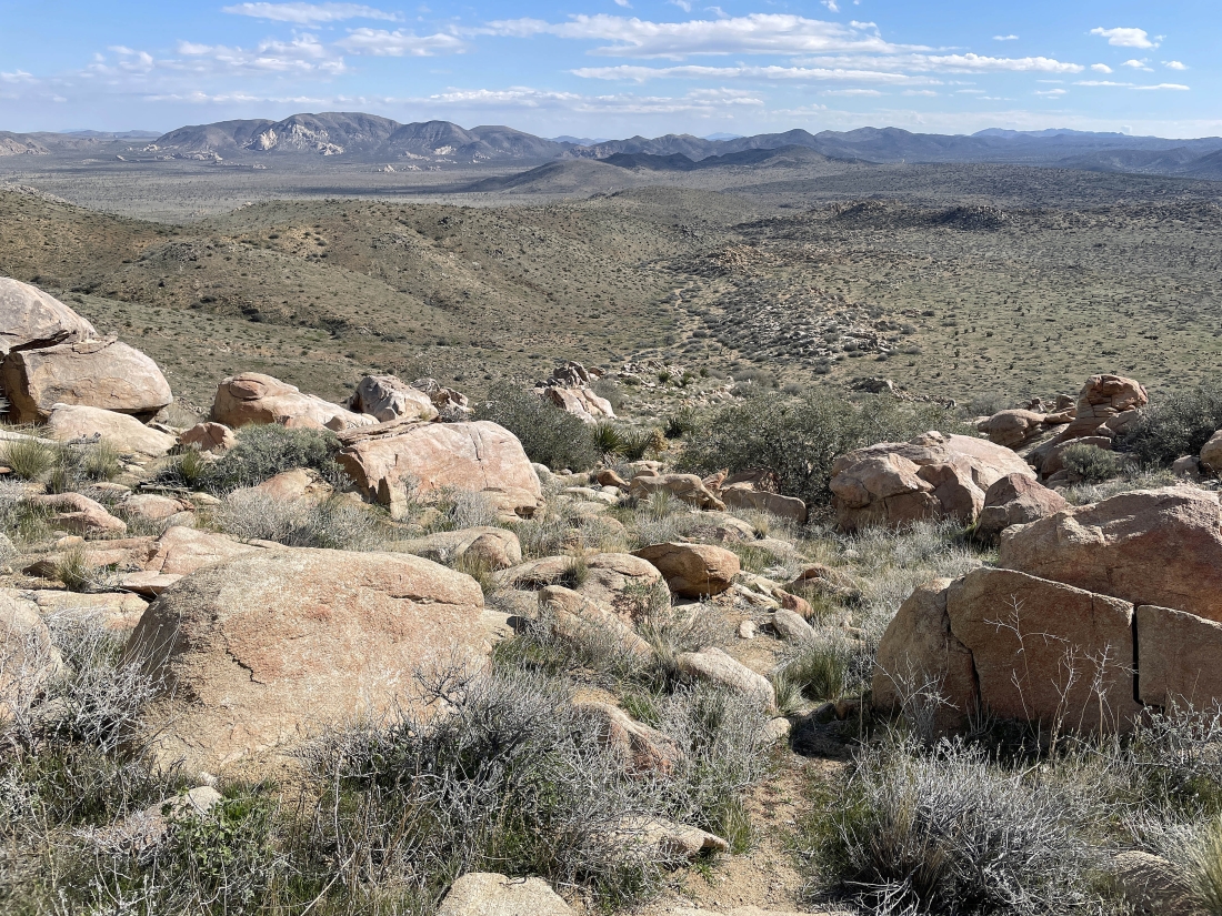
After hiking a total of 4.9 miles I have found a trail on the SE ridge of Quail Mountain... and I will follow the trail for another half-mile to reach the summit.
|
Getting closer to the summit of Quail Mountain out there on the far left.
|
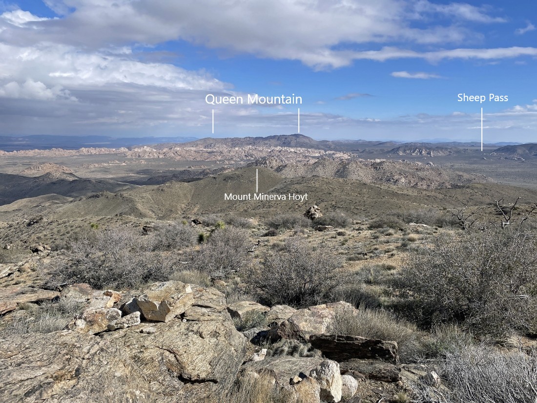
Working my way up to the summit of Quail Mountain... here looking NE beyond Mount Minerva Hoyt in the foreground and beyond the white colored Wonderland of Rocks to Queen Mountain on the horizon.
|
|
A broader look from where I took the previous photo.
|
Almost ready to touch the summit of Quail Mountain out there on the far left.
|
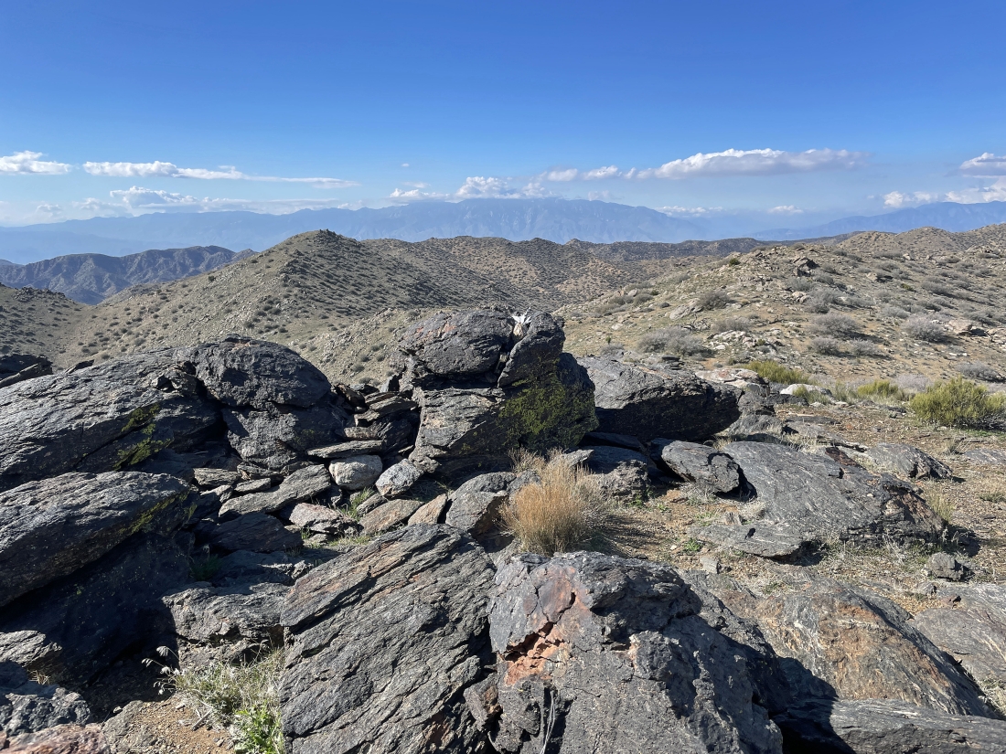
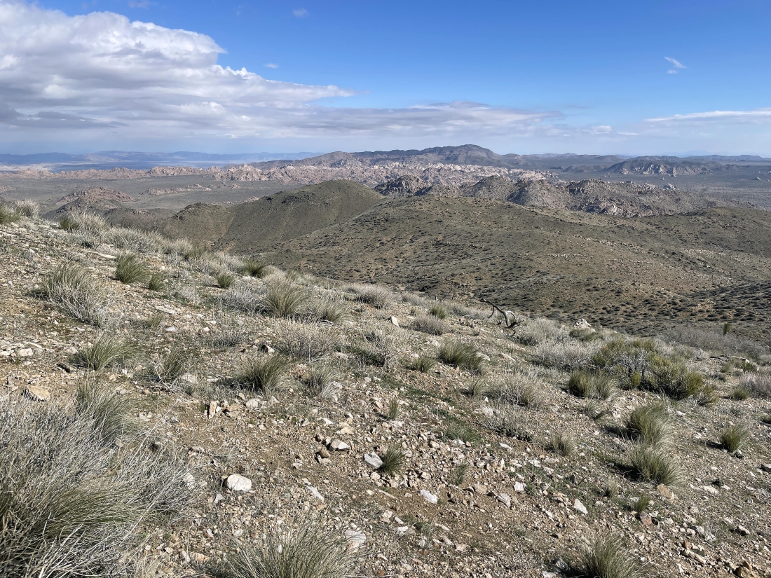
After hiking a total of 5.4 miles I have reached the 5,816 foot summit of Quail Mountain... the high point in Joshua Tree National Park... here looking SW beyond part of the Little San Bernardino Mountains in the foreground to the San Jacinto Mountains on the horizon in the middle of the photo... with part of the Santa Rosa Mountains on the far left horizon.
|
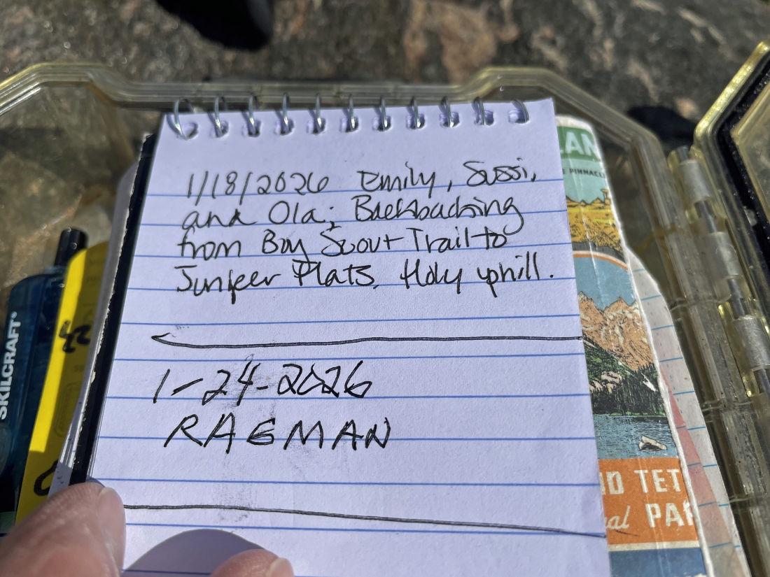
I did sign the summit register... but the 25 MPH wind kind of messed with my writing.
|
From the summit I'm going to walk over to the left... here looking NE out to Queen Mountain on the horizon in the middle of the photo... and looking east across Lost Horse Valley to Ryan Mountain on the right.
|
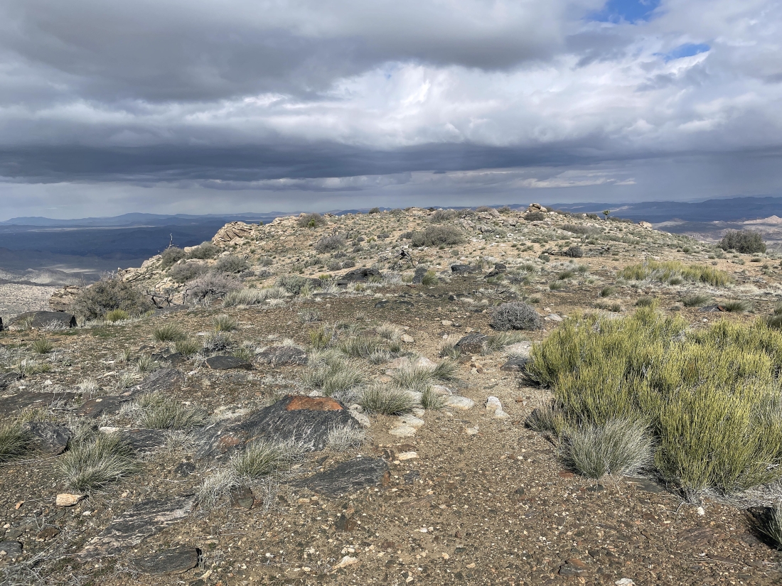
Hiking a very short distance north of the summit... looks like some rain out there.
|
From the short distance north of the Quail Mountain summit I am looking NW to the cloud covered San Bernardino Mountains... and NE to Queen Mountain. A short distance from the park boundary are the towns of Joshua Tree and Twentynine Palms... with several valleys including Homestead, Surprise and Coyote.
|
Getting ready to leave the summit area of Quail Mountain.
|
Heading down the trail from the summit... tracing my steps back down for awhile.
|
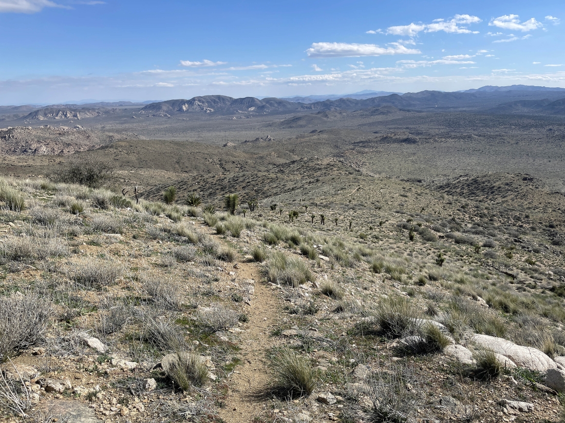
I have stayed on Quail's SE ridge instead of dropping down into the gully I used on the way up... and there is a very faint path that I am following.
|
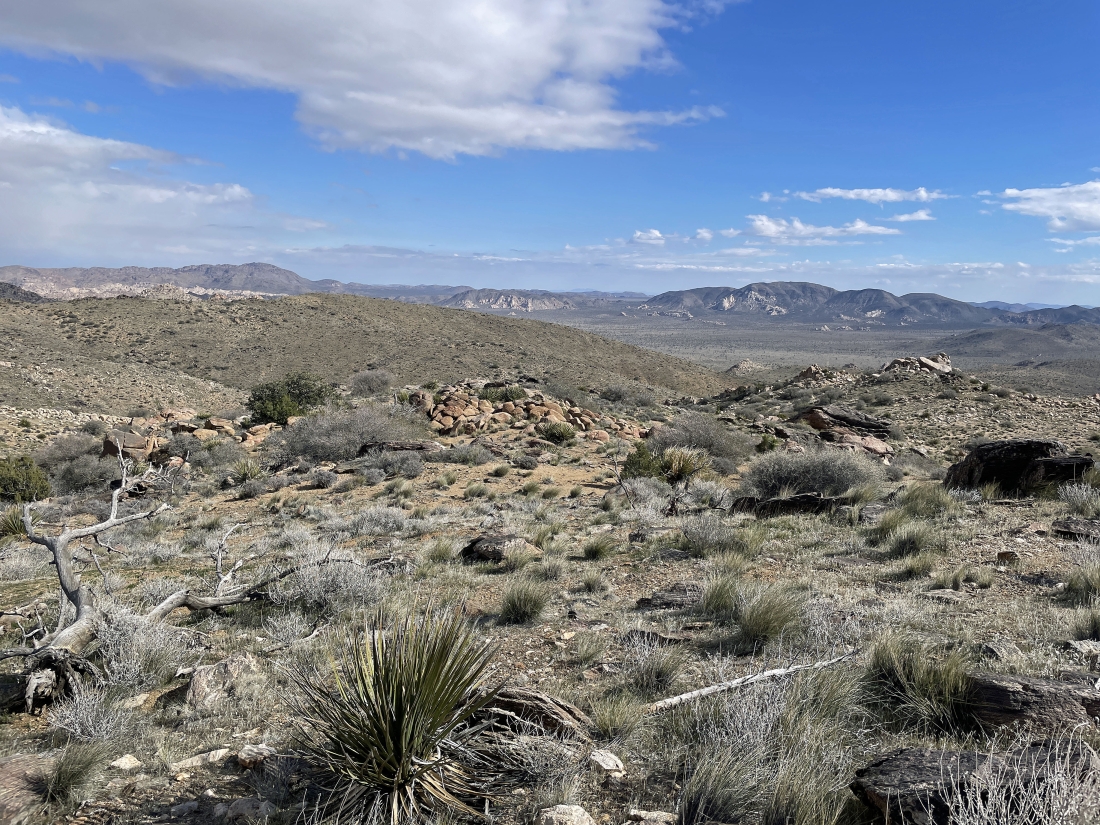
Still heading down Quail's SE ridge on a very faint path.
|
Still heading down Quail's SE ridge on a very faint path.
|
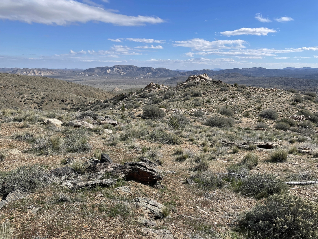
Still heading down Quail's SE ridge on a very faint path... and I can see the wash I want down there in the distance.
|
Almost down to the wash at the bottom of Quail's SE ridge.
|
In the wash at the bottom of Quail's SE ridge... here looking back at the gully on the right that I used going up... and the faint path I used coming down is on the bump on the left.
|
In the wash... and I will continue hiking SE in the wash for three-quarters of a mile before leaving the wash.
|
Continuing to hike SE in the wash... here looking back at the end of the SE ridge... with Quail Mountain beyond it on the left-center horizon.
|
After hiking three-quarters of a mile in the wash I gained 50 feet of elevation up to a little ridge... and I will be kind of tracing my steps back to my car... using Ryan Mountain as a guide.
|
I am two miles from my car... two miles of easy hiking across Lost Horse Valley on the desert floor... here looking back at Quail Mountain on the horizon in the middle of the photo.
|
Almost back to my car... with Ryan Mountain in the distance... the total hike was 10.8 miles, gaining 1,902 feet of elevation.
|
