Pinyon Well and Point 4638 - 1.30.2026
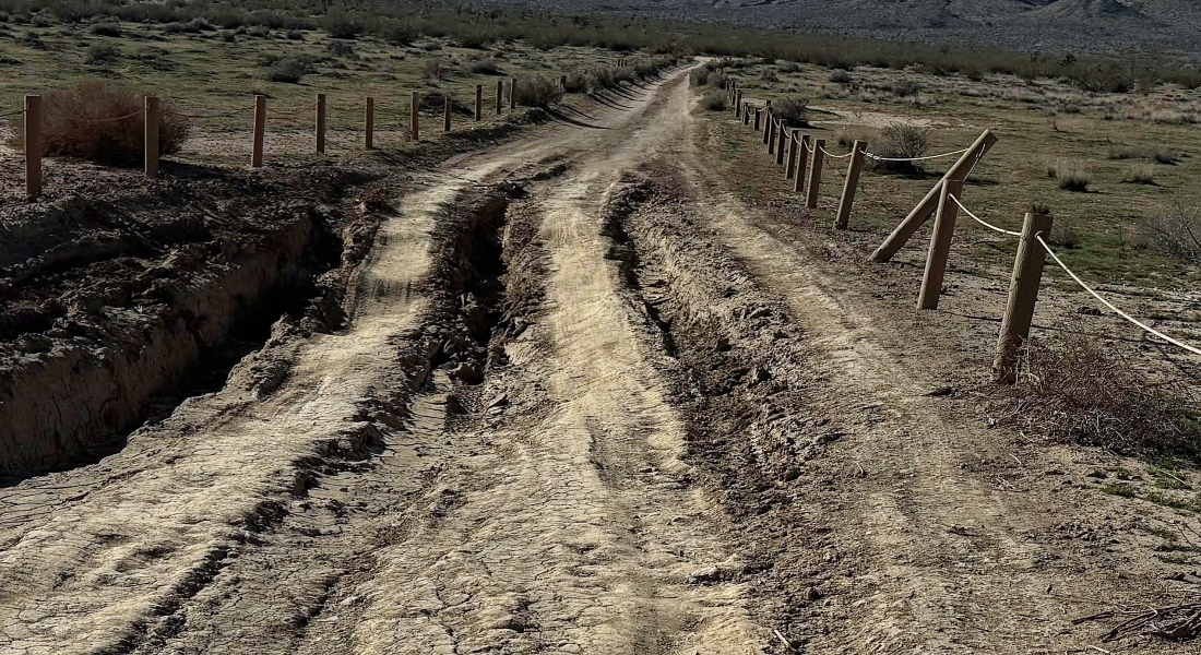
The challenge of this hike was dealing with the Geology Tour Road in several places like this.
|
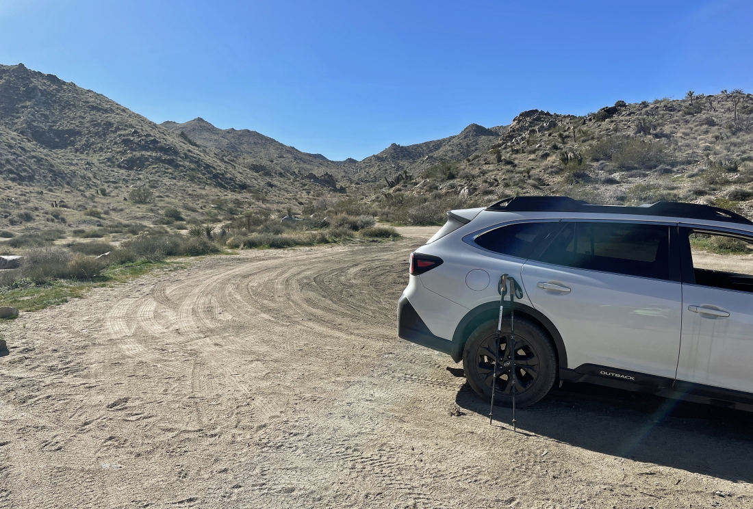
We parked at the #15 sign on the Geology Tour Road. After turning onto the Geology Tour dirt road from Park Blvd in Joshua Tree National Park we drove 5.5 miles to Squaw Tank... then continued another 2.3 miles on the Geoolgy Tour Road where it junctions with the Berdoo Canyon Road... then stayed on the Geology Tour Road for another 1.8 miles to where we parked.
|
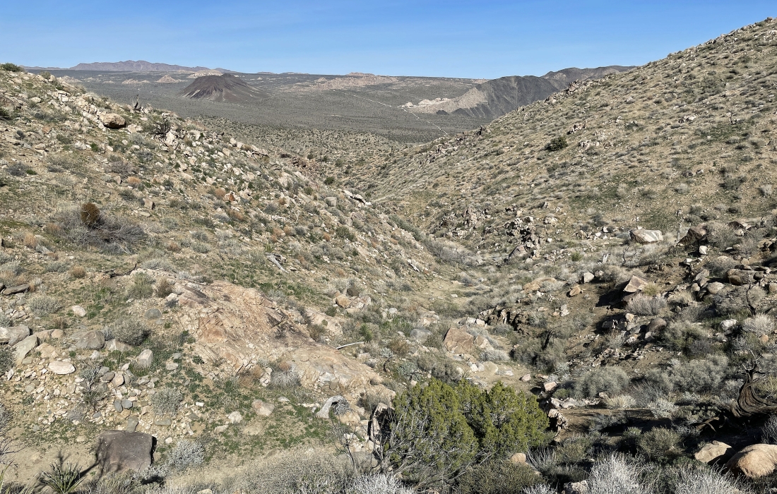
From the trailhead we are heading SW up the Pushawalla Canyon. This canyon goes a total of 12 miles... leaving Joshua Tree National Park and going into the town of Indio which is located in the very populated Coachella Valley.
|
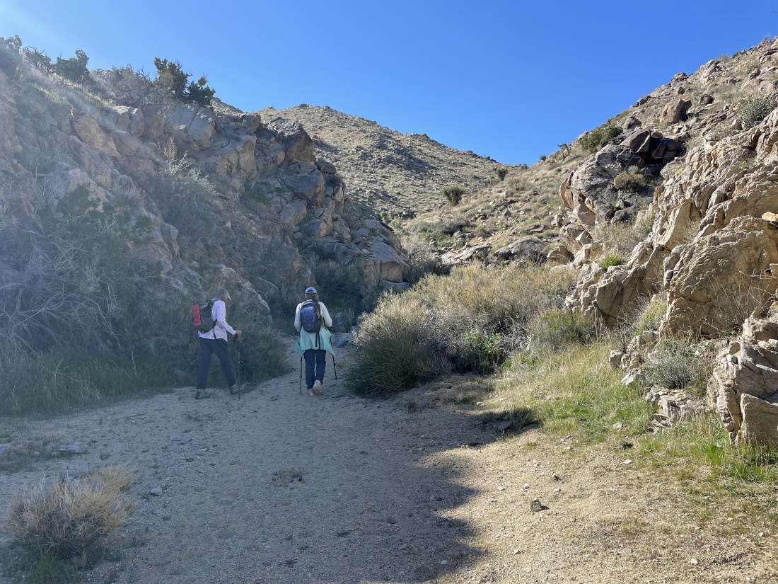
Continuing up Pushawalla Canyon. Many years ago the canyon was used to support a lot of the mining that occurred in the park... especially the Eldorado Mine.
|
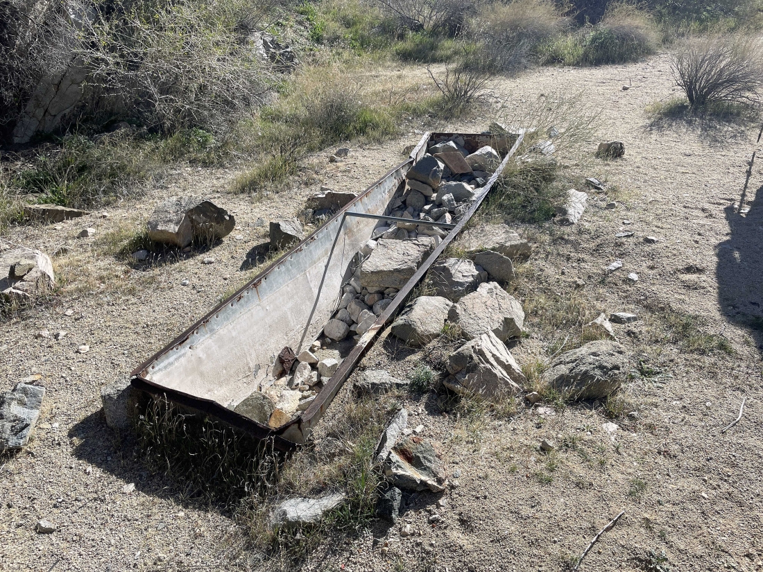
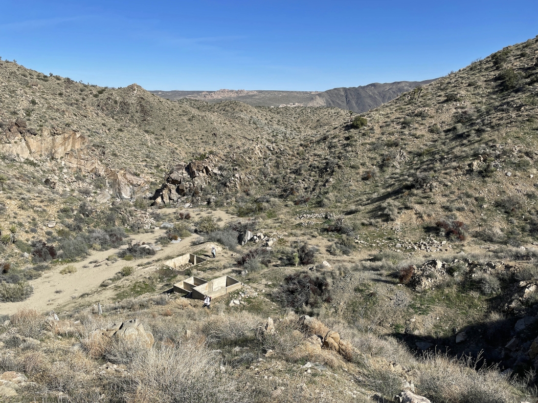
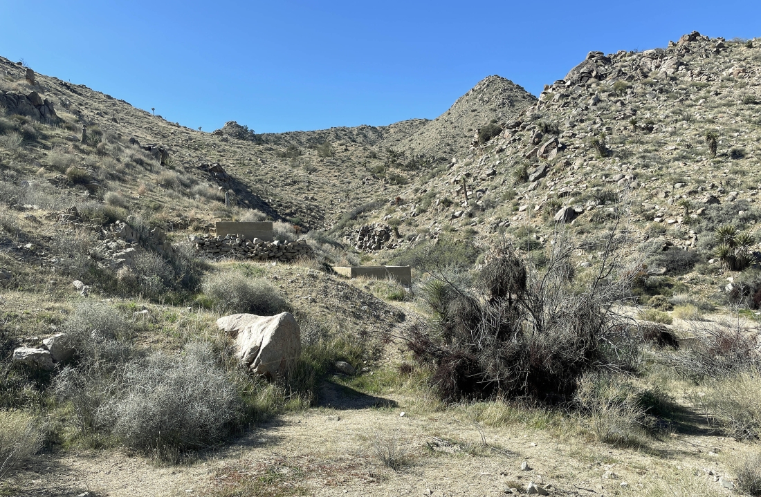
After hiking three-quarters of a mile we have arrived at Pinyon Well. Not sure what this is, but it is located a stone's throw from three water tanks.
|
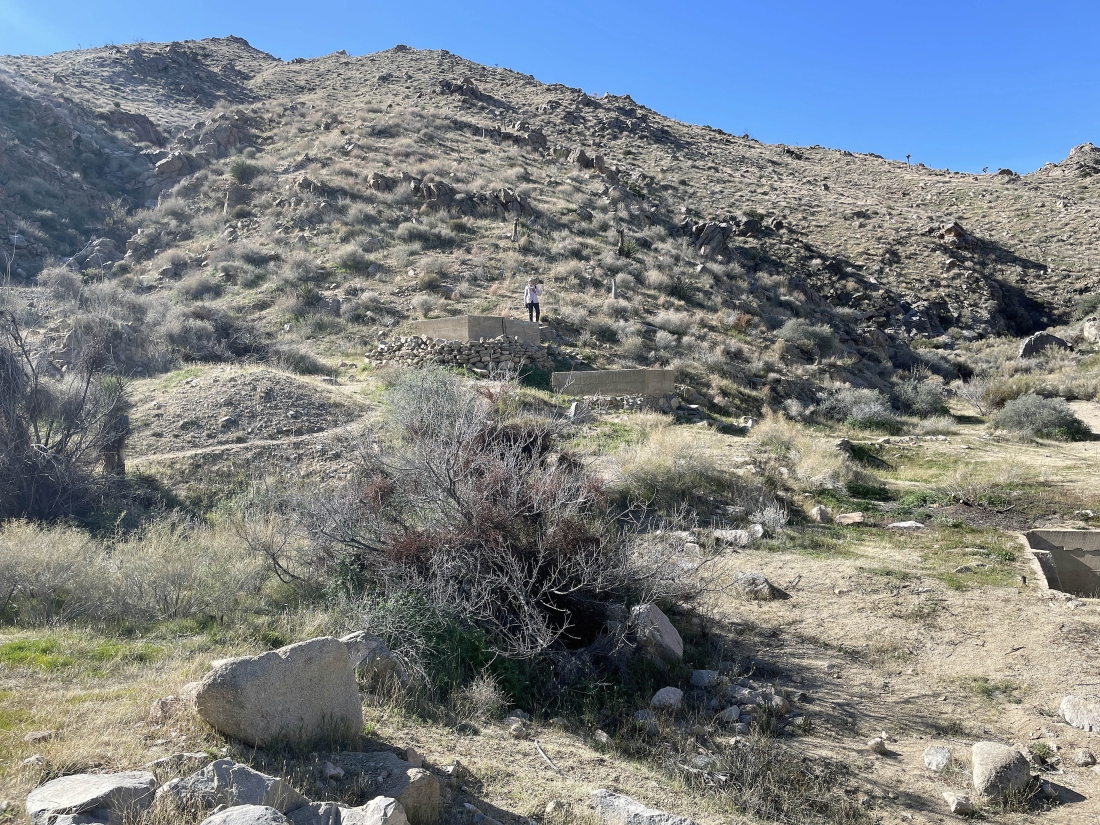
Denali Girl is standing above two of the water tanks at Pinyon Well.
|
I have left the canyon and started uphill... here looking down at Pinyon Well.
|
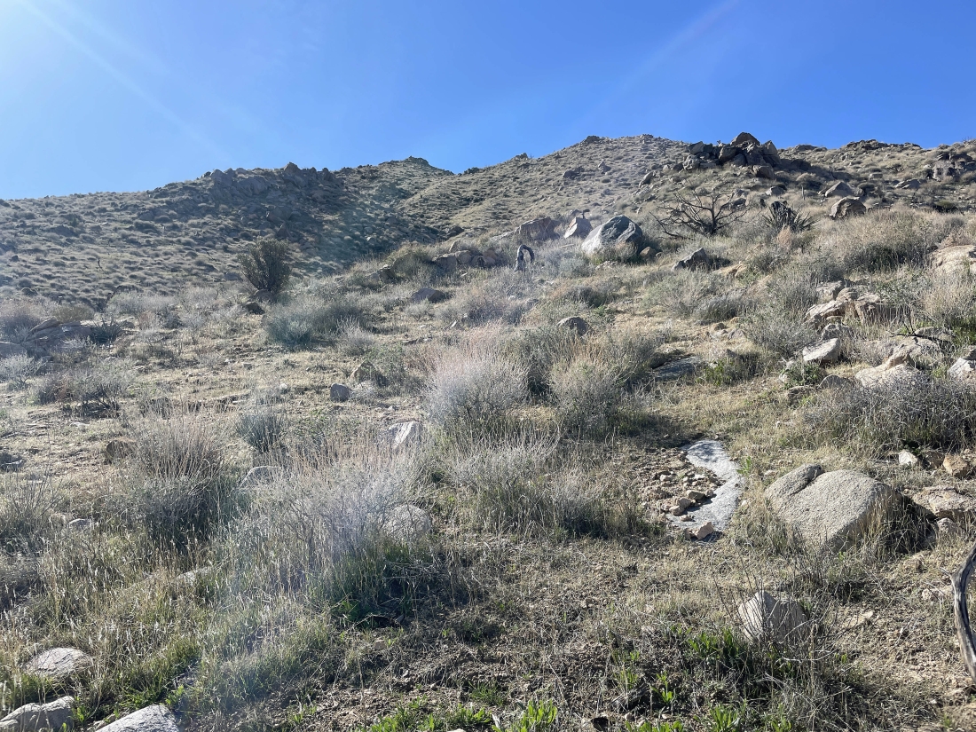
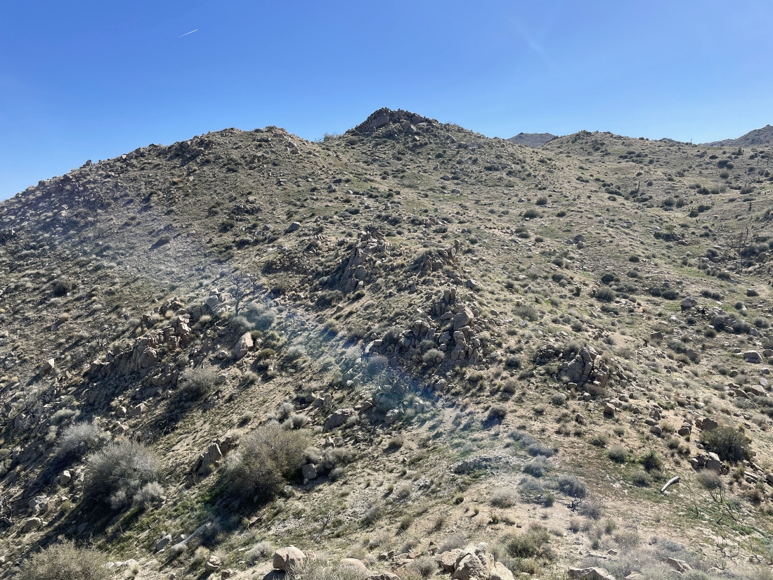
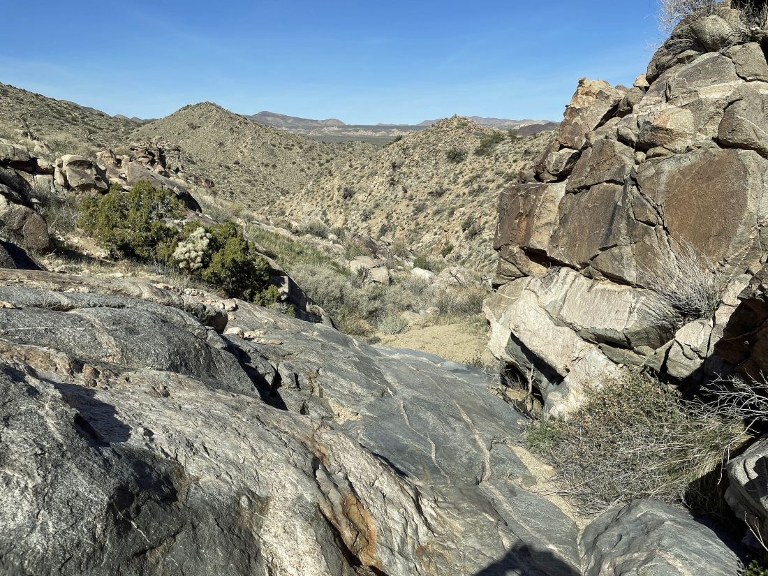
Continuing to go uphill... looking for broader views.
|
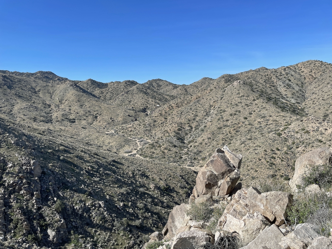
Continuing to go uphill... here looking down into Pushawalla Canyon... and looking north I can see Ryan Mountain and Queen Mountain on the horizon in the middle of the photo.
|
Continuing to go uphill... looking for broader views.
|
Looking west up Pushawalla Canyon as I continue to gain elevation... and I can see a white metal roof out there in the middle of the photo that the USGS Map identifies as 'Guzzler WT'.
|
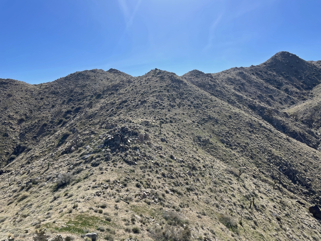
Continuing to go uphill... looking for broader views.
|
Looking west... with Pushawalla Canyon down below... and the white circle identifies 'Guzzler WT'.
|
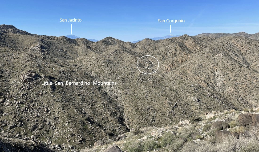
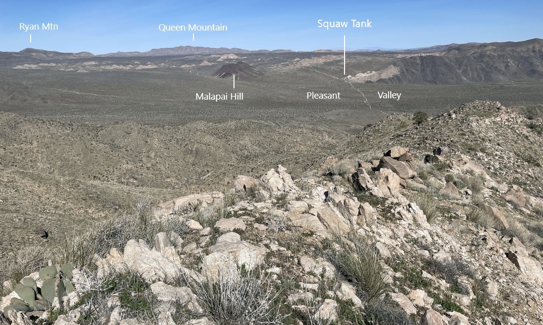
Looking west toward the San Jacinto Peak which is located directly above Palm Springs... north to Ryan Mountain and Queen Mountain... and NE to the Hexie Mountains.
|
Continuing to go uphill... looking for broader views.
|
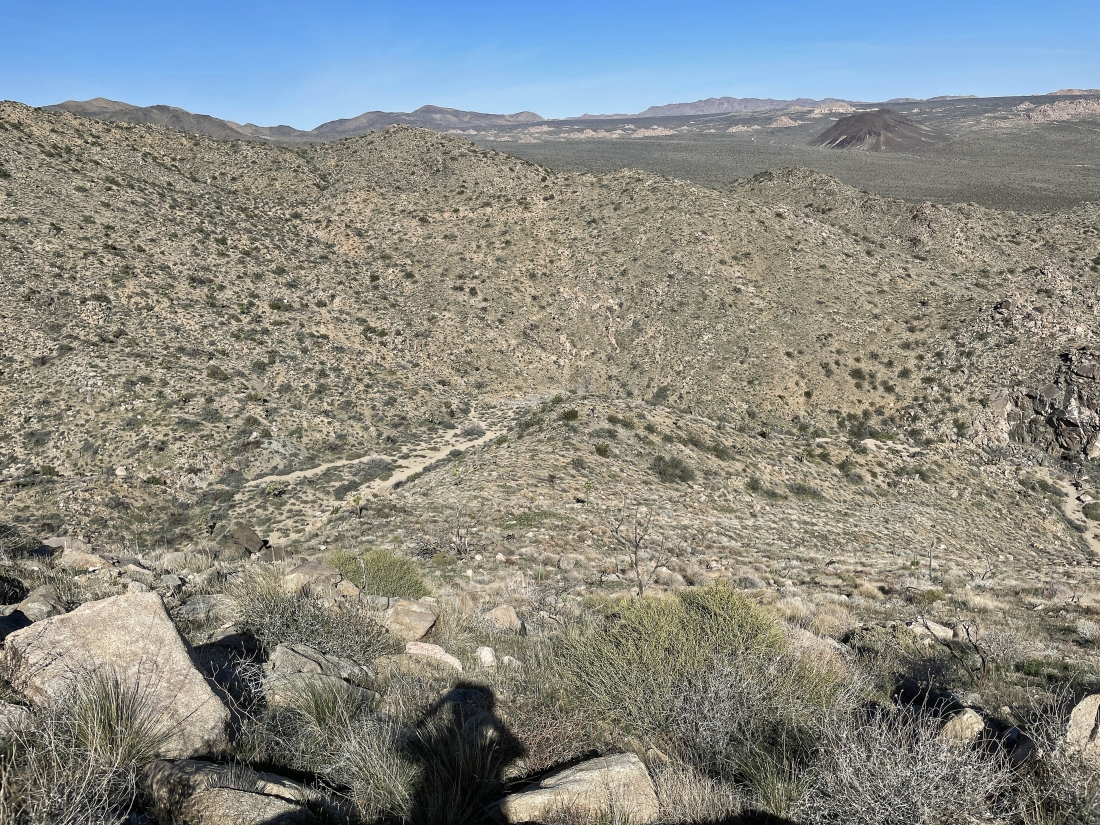
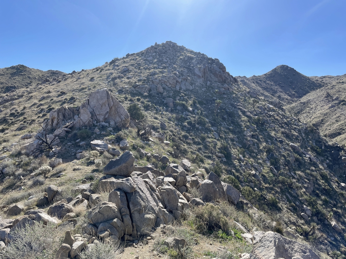
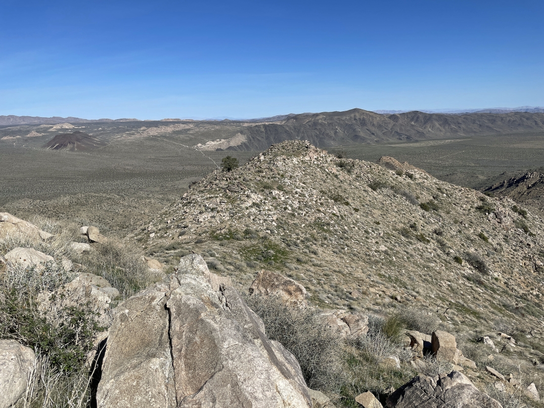
I have reached my high point for the day at ~4,700 feet... I will continue out to Point 4638 in the right foreground... and Squaw Tank is an important location if you plan on doing this hike.
|
Giving up a little elevation and heading NE over to Point 4638.
|

I have reached Point 4638 and getting ready to head back down to Pinyon Well.
|
The purple line shows the importance of Squaw Tank. Out toward Queen Mountain we turned onto the two-way Geology Tour dirt road from Park Blvd... then drove 5.5 miles to Squaw Tank... this is where the dirt road becomes a one-way triangular shaped road that goes in a clockwise direction... leaving a 4.1 mile one-way drive to the Pinyon Well trailhead... and leaving a 1.9 mile one-way drive back to Squaw Tank after the hike.
|
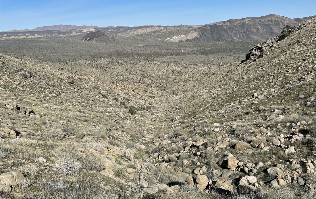
Heading back down this canyon on the way back to Pinyon Well.
|
Heading back down this canyon on the way back to Pinyon Well.
|
Heading back down this canyon on the way back to Pinyon Well.
|
I am back at Pinyon Well... closing the loop portion of the hike.
|
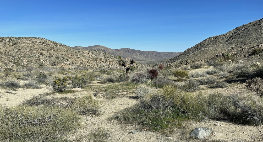
Tracing the three-quarters of a mile back down Pushawalla Canyon.
|
I can see the car... the total hike was 2.9 miles, gaining 1,041 feet of elevation.
|
