Valhalla Dome - 2.3.2026
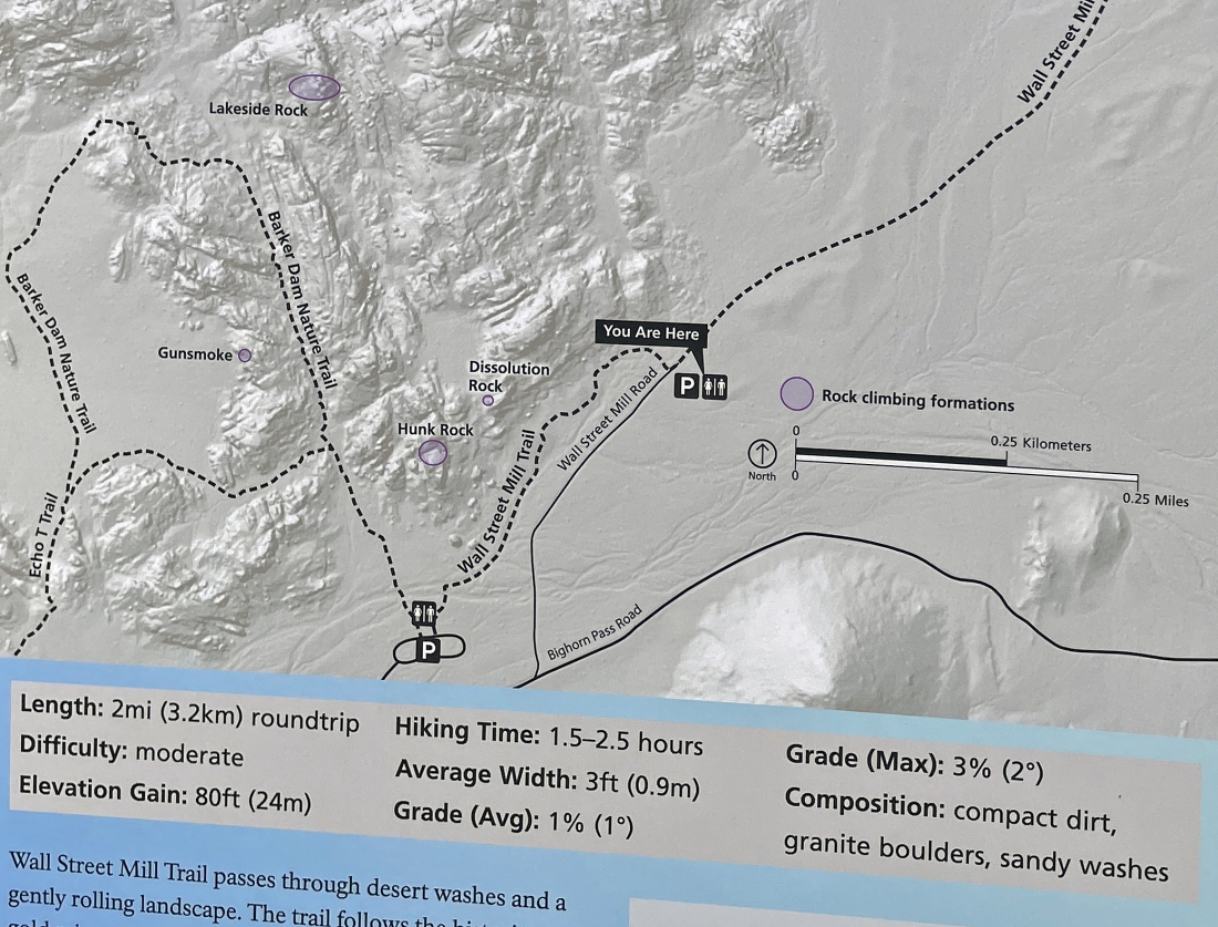
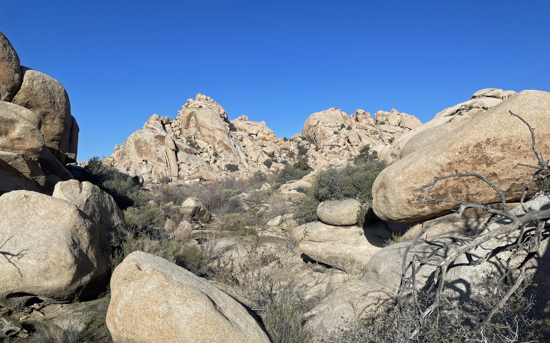
We parked at the dirt parking lot located a quarter mile NE of the popular paved parking lot for Barker Dam. From the dirt parking lot we will hike less than a quarter mile SW on the Wall Street Mill Trail and then take a 'side door' route into the Barker Dam area by going in between Hunk Rock and Dissolution Rock on the map in this photo.
|
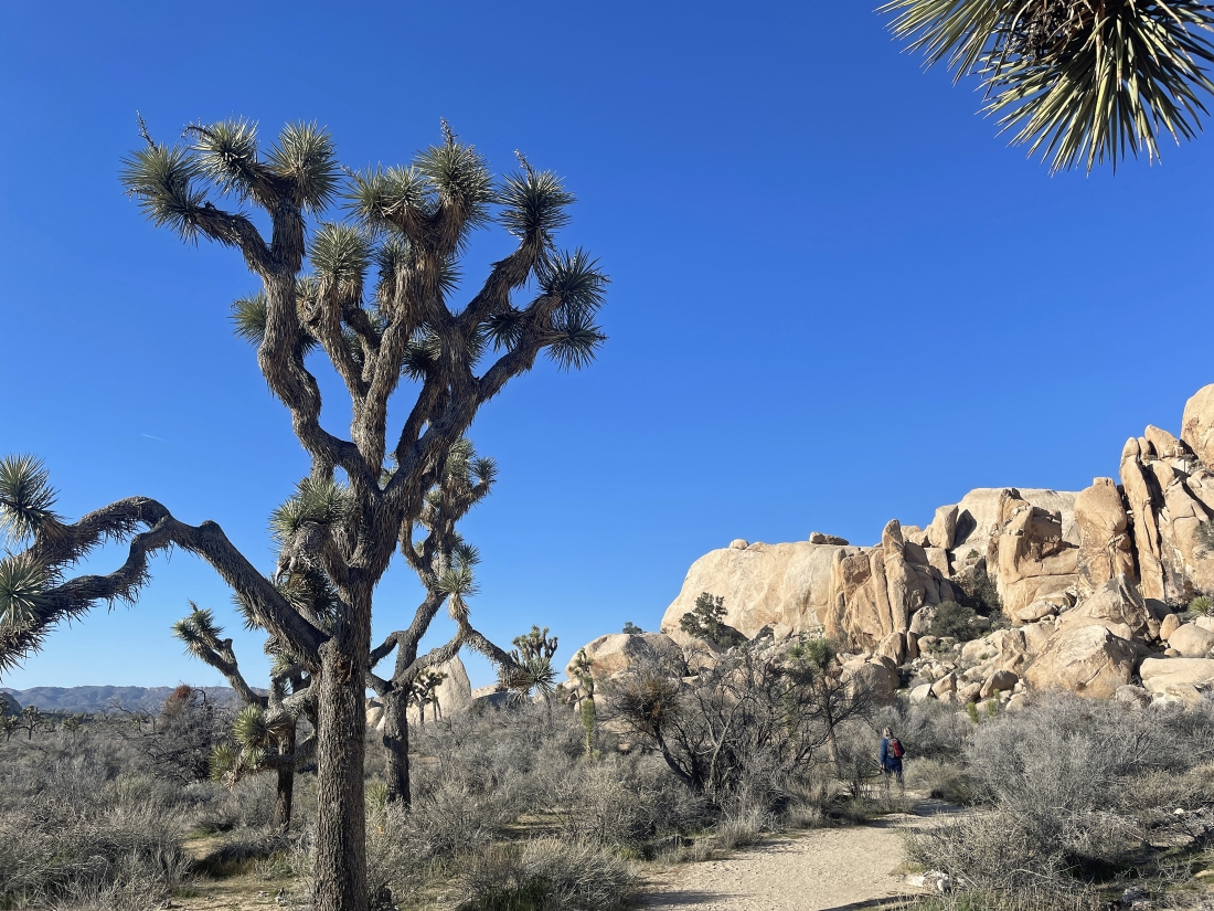
Hiking SW on the Wall Street Mill Trail toward the paved Barker Dam parking lot... but before getting to the Barker Dam Trail we will leave this trail out there in front of the huge smooth faced rock in the middle of the photo.
|
We have left the Wall Street Mill Trail and are entering the 'side door' entrance to the Barker Dam area... not many people use this 'side door' entrance to Barker Dam.
|
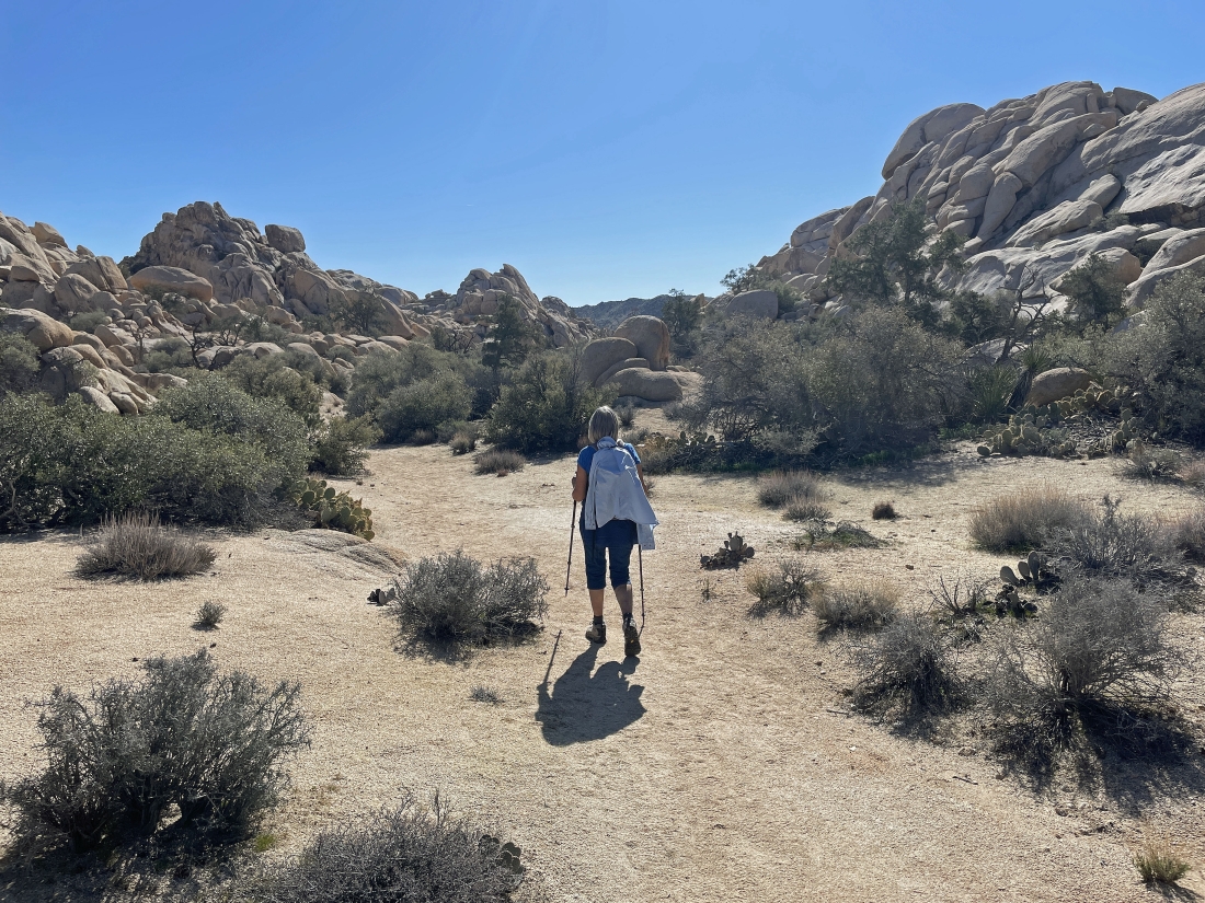
Hiking north in the 'side door' entrance to Barker Dam... our destination is Valhalla Dome which is on the horizon just to the left of Denali Girl.
|
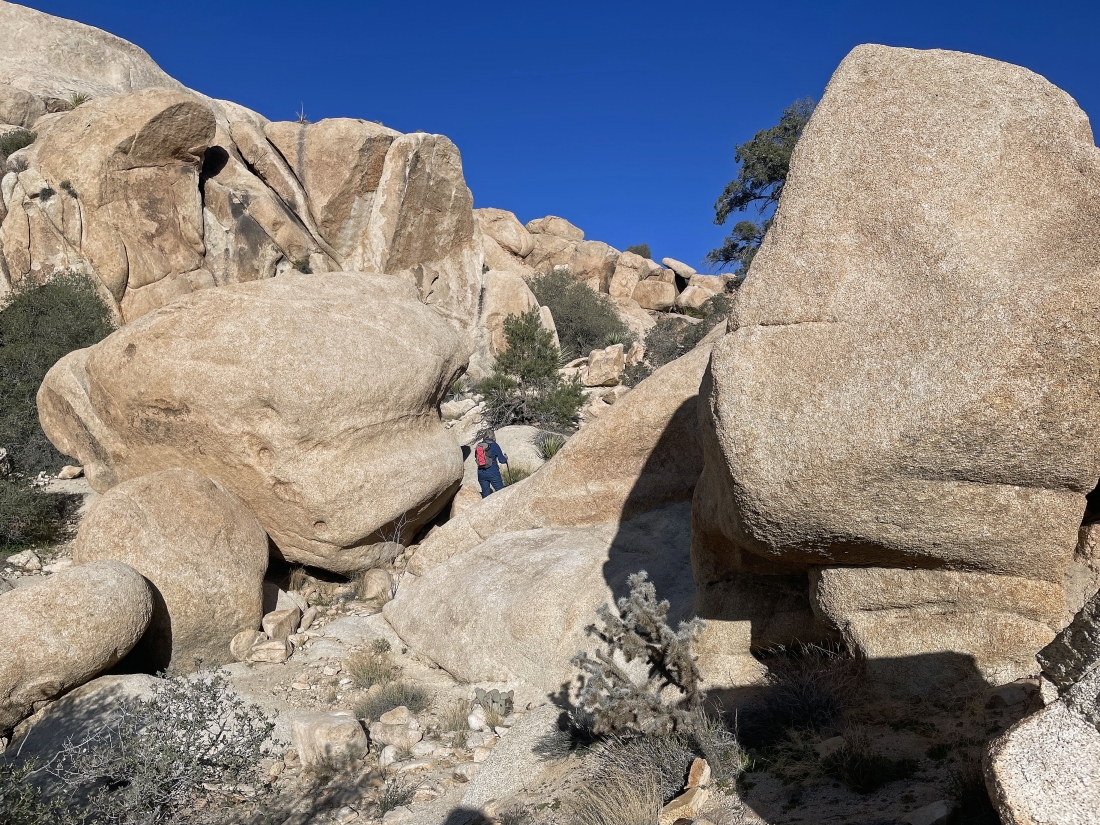
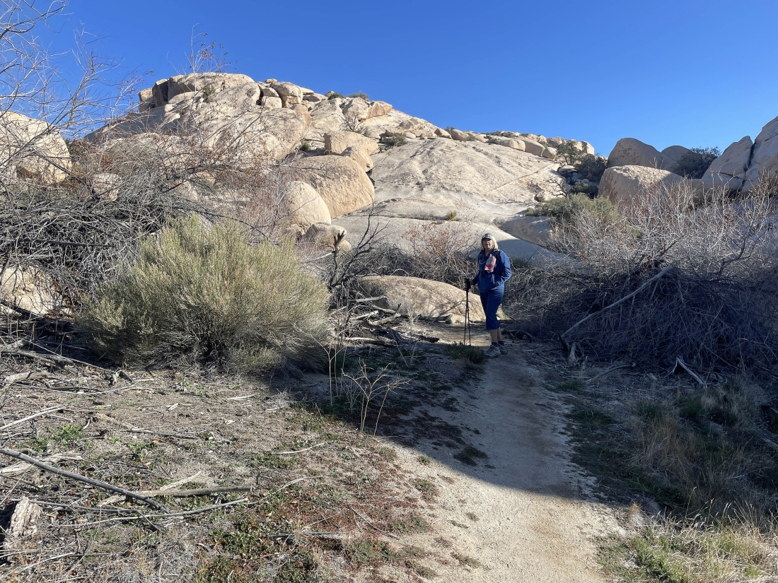
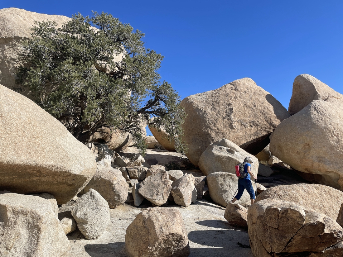
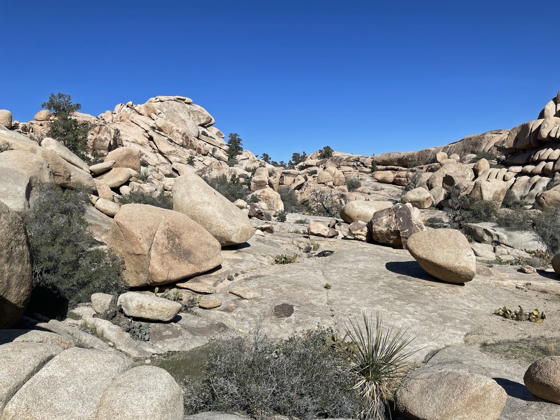
After hiking a half-mile we are getting ready to enter the Barker Dam area.
|
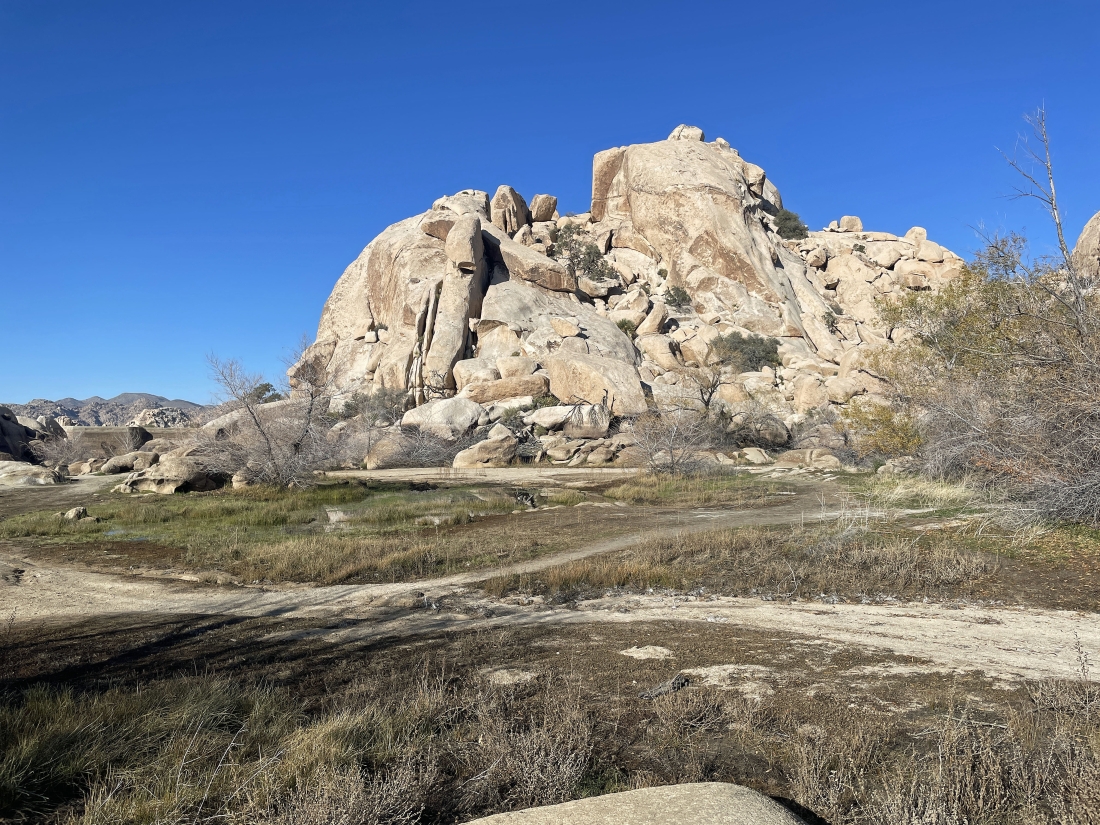
Barker Dam is out there on the far left... and back in the day we would be standing in water right here.
|
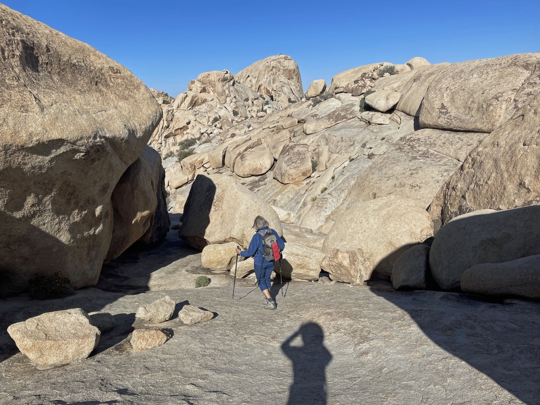
A stone's throw from the Barker Dam area Denali Girl is getting ready to head up to Valhalla Dome via the smooth rock behind her.
|
Getting ready to gain some elevation.
|
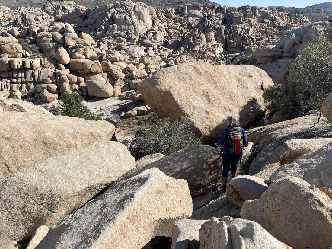
Looking back at the Barker Dam area after gaining 50 feet of elevation on the steep terrain... Denali Girl is over there on the right.
|
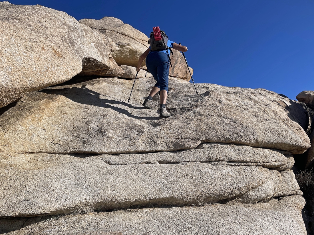
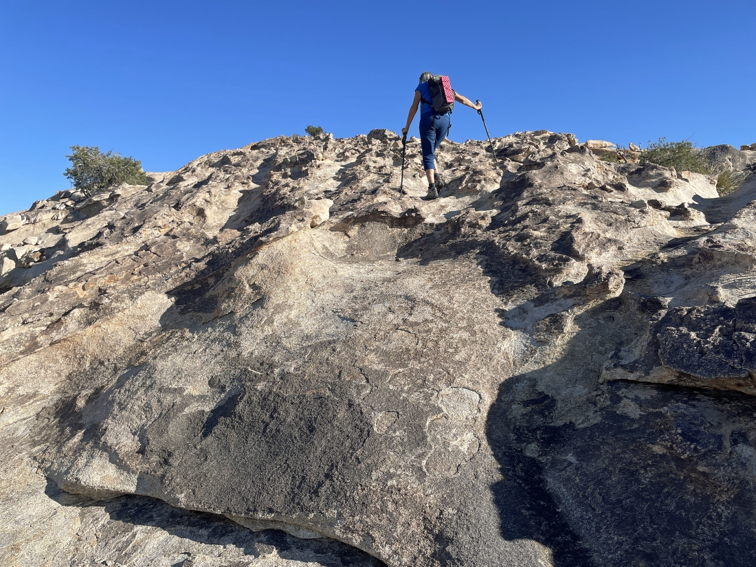
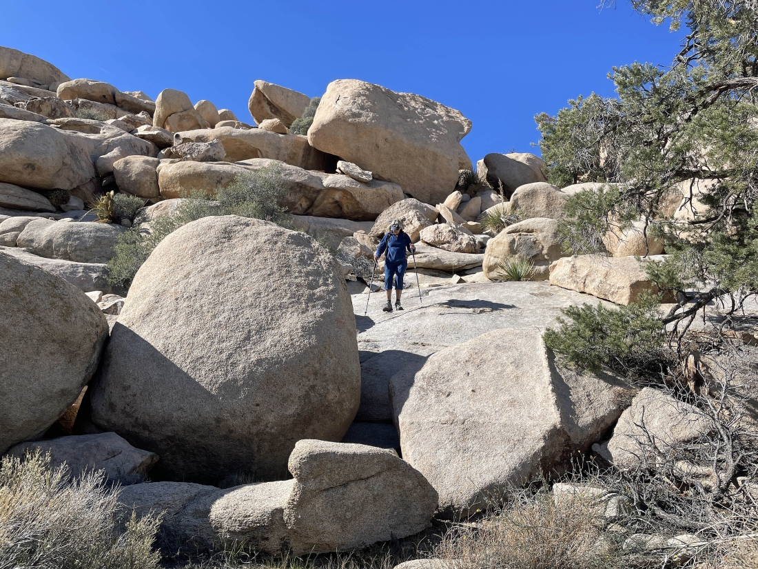
Continuing up steep terrain... heading NE for the summit of Valhalla Dome.
|
Continuing up steep terrain... heading NE for the summit of Valhalla Dome.
|
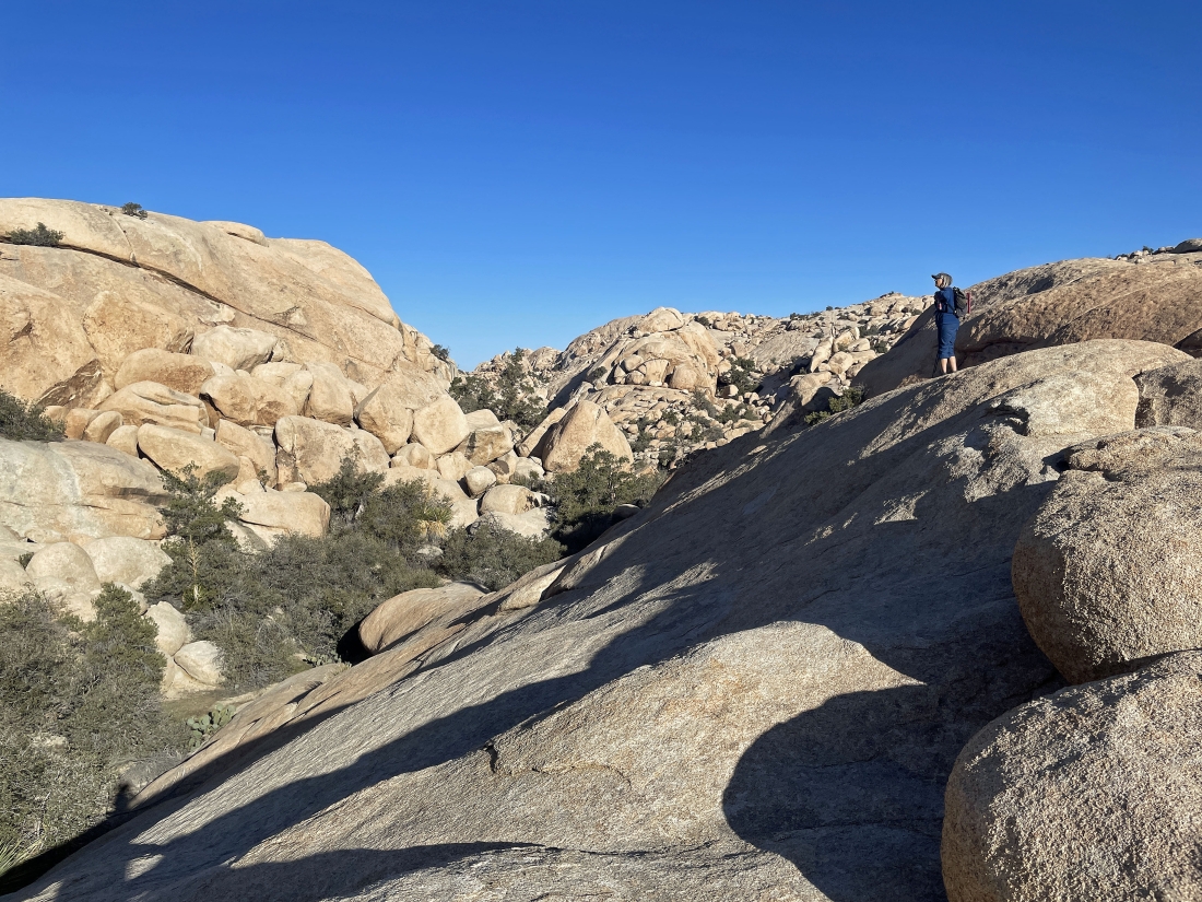
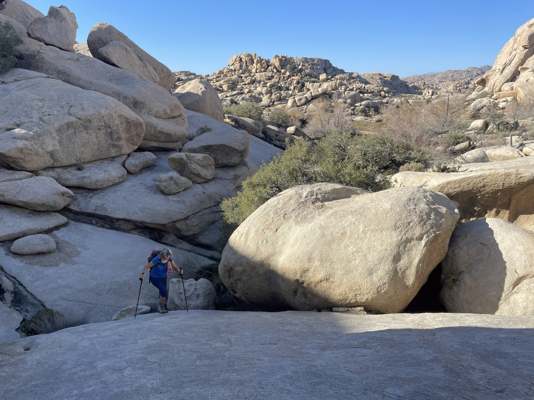
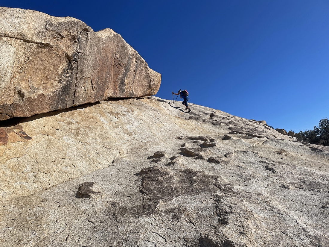
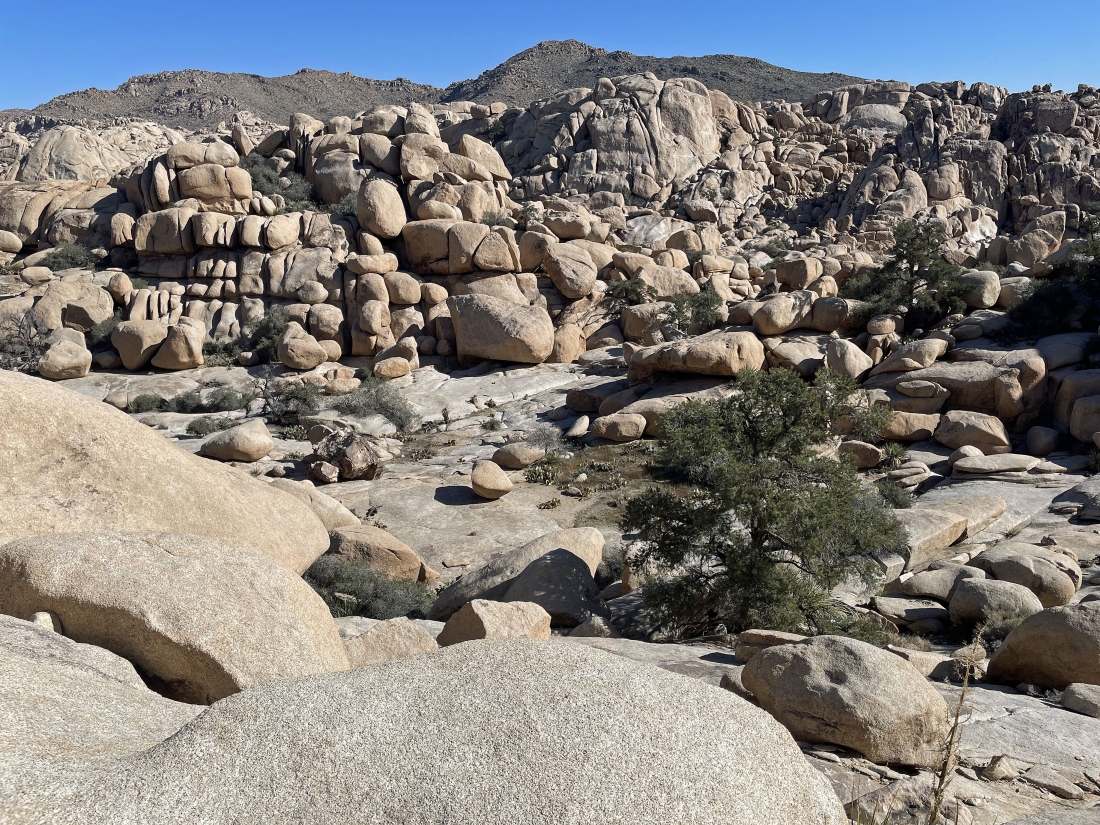
After gaining 160 feet of elevation on steep terrain from the Barker Dam area we have found terrain that is less steep.
|
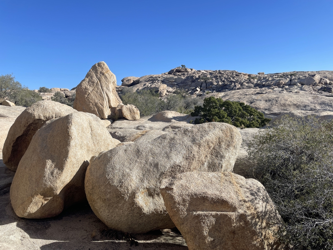
We can see the summit of Valhalla Dome up there on the horizon.
|
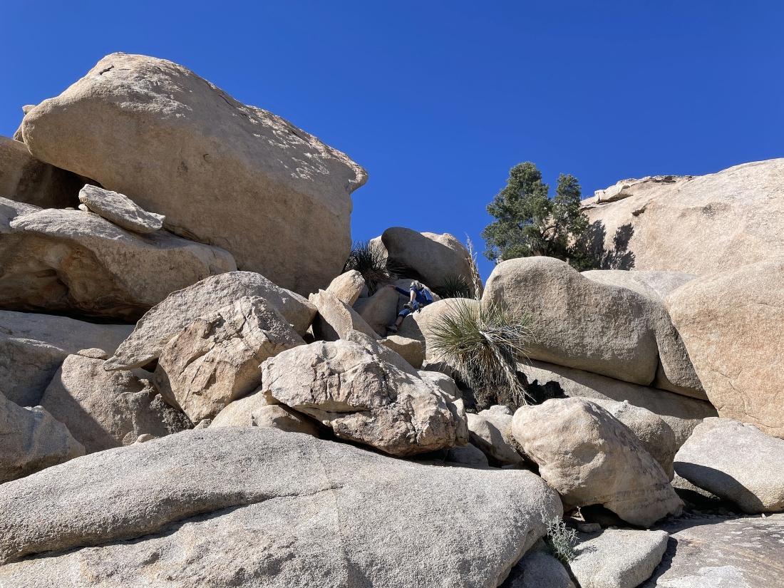
Denali Girl is heading up the erosion area on the south side of the summit.
|
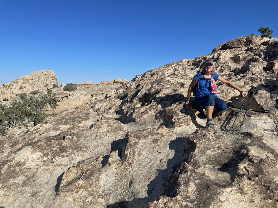
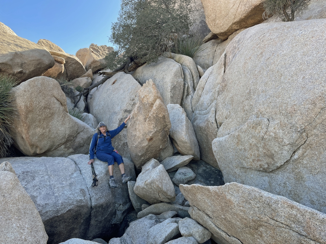
Relaxing in the erosion area of Valhalla Dome... with the South Astro Dome on the far-left horizon... and there is a Pinyon Pine tree up there on the summit of Valhalla Dome.
|
|
After hiking a total of .9 miles we have reached the 4,500 foot summit of Valhalla Dome... here looking SE to Queen Valley in the distance on the left... with Ryan Mountain in the middle of the photo... and looking SW to Lost Horse Valley in the distance on the right.
|
Still on the summit of Valhalla Dome... looking SW to Quail Mountain on the extreme far-left horizon... NE to Queen Mountain on the right horizon... and north to the Wonderland of Rocks in the middle of the photo.
|
Hiking north from the summit of Valhalla Dome... looking for a route down from the summit that we used in 2018.
|
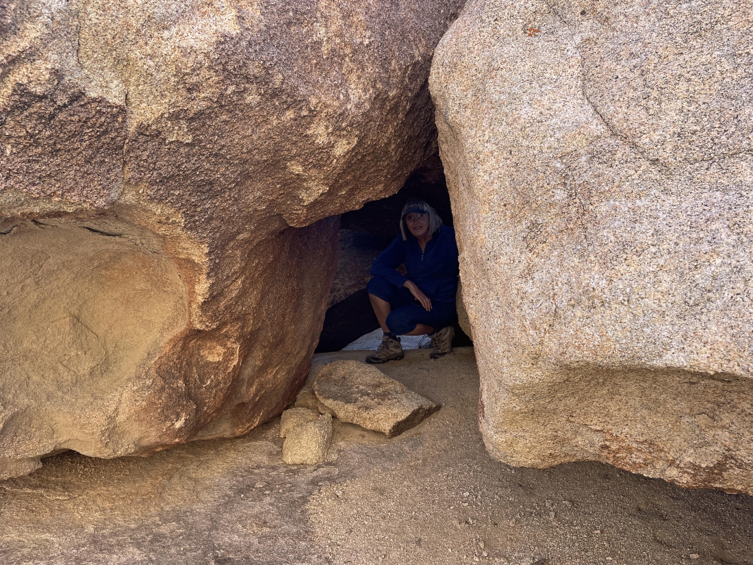
Denali Girl found a cave.
|
Still hiking north from the summit of Valhalla Dome... giving up a little elevation... with the South Astro Dome out there on the horizon in the middle of the photo.
|
After hiking one-tenth of a mile north of the Valhalla Dome summit we are getting ready to deal with 80 feet of steep terrain... and this is the route down that we did in 2018.
|
Heading down to a fairly flat shelf.
|
Looking back at Denali Girl as she works the 80 feet of elevation loss on here way down to join me.
|
Almost done with the elevation loss down to the shelf I'm on.
|
On the shelf that is on the north side of Valhalla Dome... we will head for the low point out there on the horizon.
|
Heading north for the little pass in the middle of the photo... this is the area where we met Star Dancer in 2018... since then we have done 98 hikes with her.
|
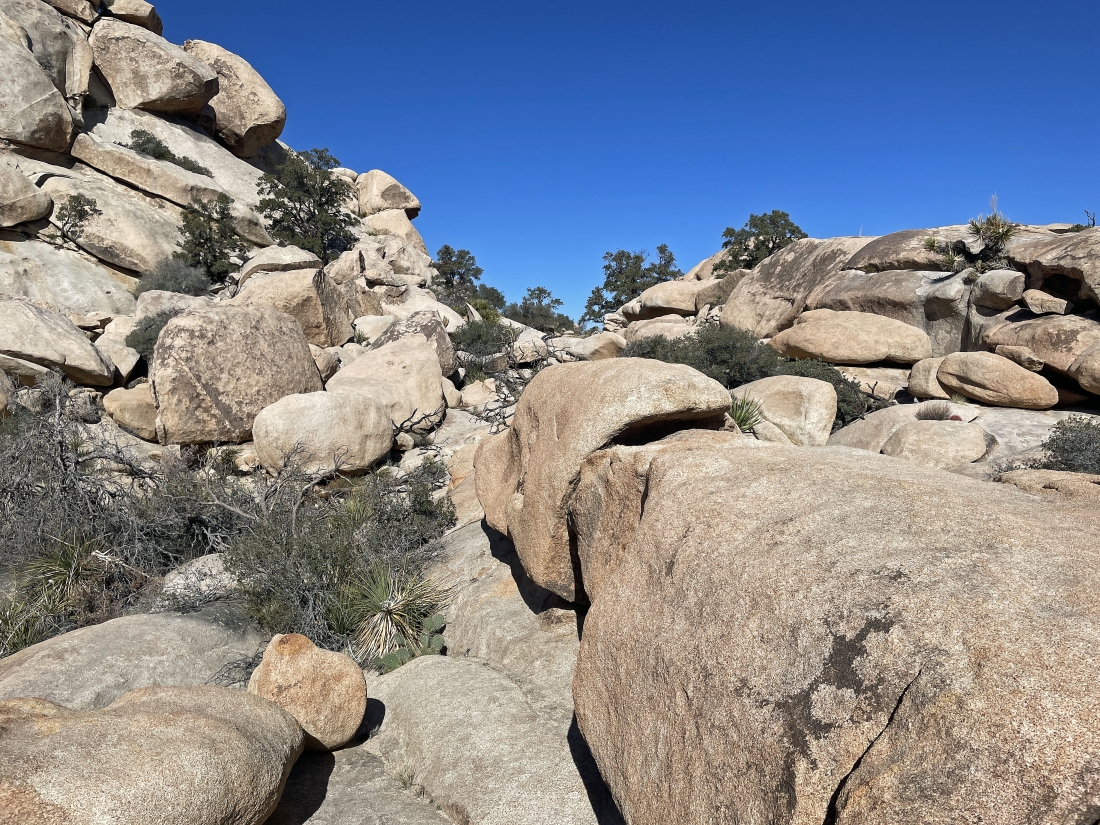
We have gone through the little pass and still have a little bit of scrambling to do to get down to the main wash in the Wonderland of Rocks.
|
Getting ready to deal with 40 feet of elevation loss that will get us down to the main wash of the Wonderland of Rocks.
|
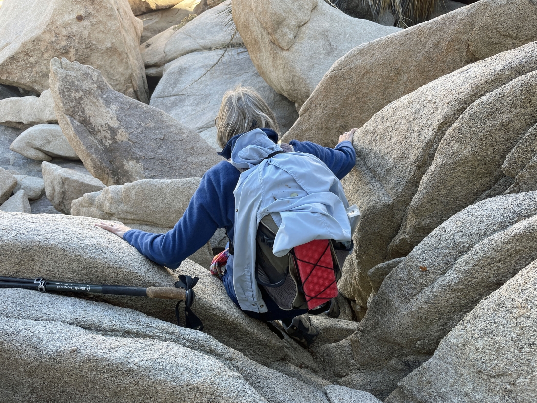
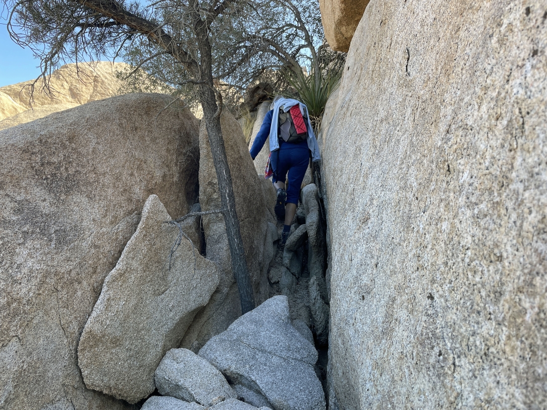
Scrambling down 15 feet of steep elevation... this is what Star Dancer and Denali Girl call 'rock yoga'.
|
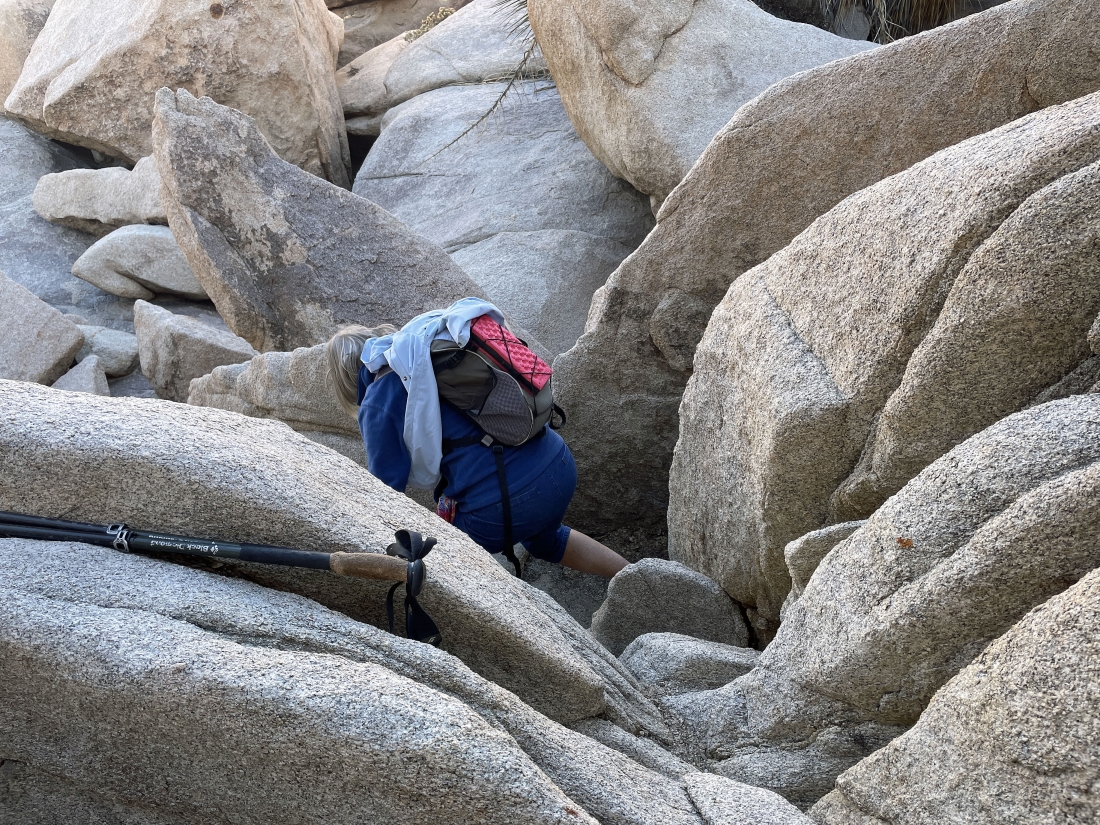
Scrambling down 15 feet of steep elevation... this is what Star Dancer and Denali Girl call 'rock yoga'.
|
Scrambling down 15 feet of steep elevation... this is what Star Dancer and Denali Girl call 'rock yoga'.
|
Almost down to the main wash of the Wonderland of Rocks... looking back at the South Astro Dome on the far left... with 'The Camel' on the far right horizon.
|
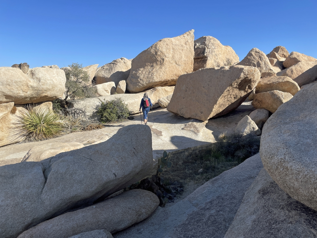
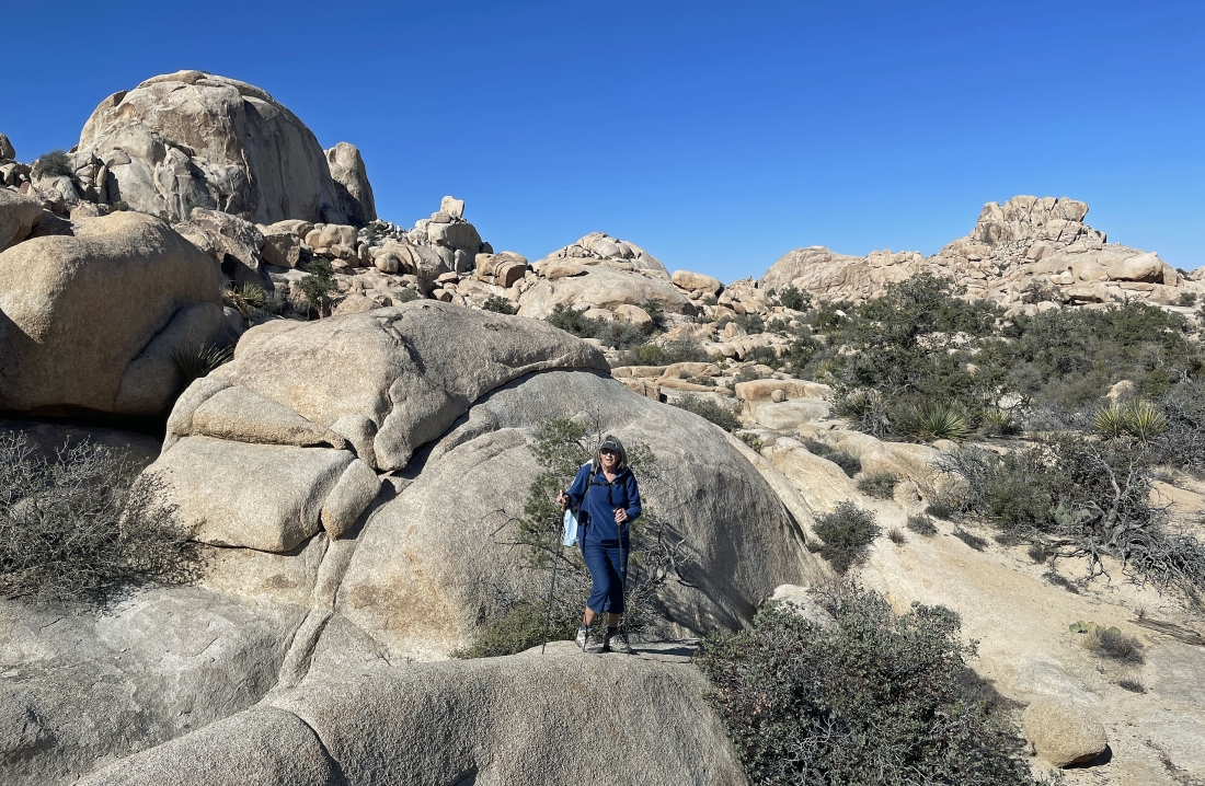
Now hiking south in the Wonderland of Rocks... looking to close our loop hike.
|
We have come out of the Wonderland of Rocks and arrived at the 'Pink House'... aka known as the Worth Bagley homestead... and we are less than a quarter-mile to our car.
|
Only a stone's throw from the dirt parking lot that is located a quarter-mile NE of the paved parking lot for Barker Dam... the total loop hike was 2.2 miles, gaining 305 feet of elevation.
|
