Gunsight Loop - 2.7.2026
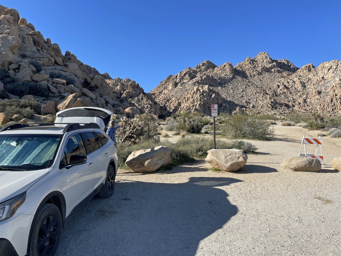
We parked at the trailhead for the Indian Cove Nature Trail in Joshua Tree National Park... parking at an elevation of 3360 feet... the 'Gunsight' is the 'V' on the horizon in the middle of the photo.
|
It will be a flatish quarter-mile hike from where we parked to get over to Gunsight Canyon.
|
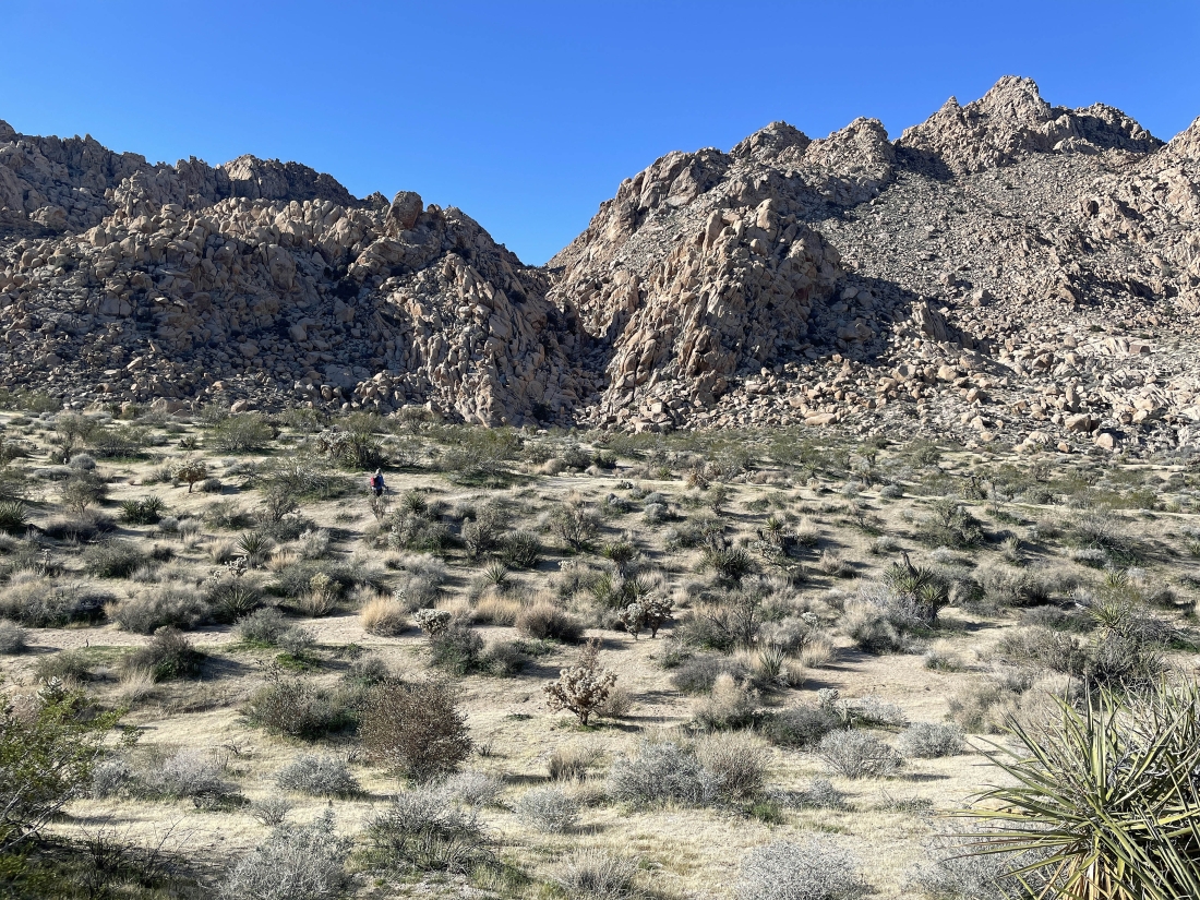
Getting ready to enter Gunsight Canyon.
|
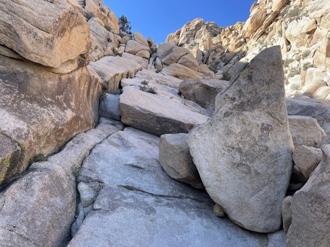
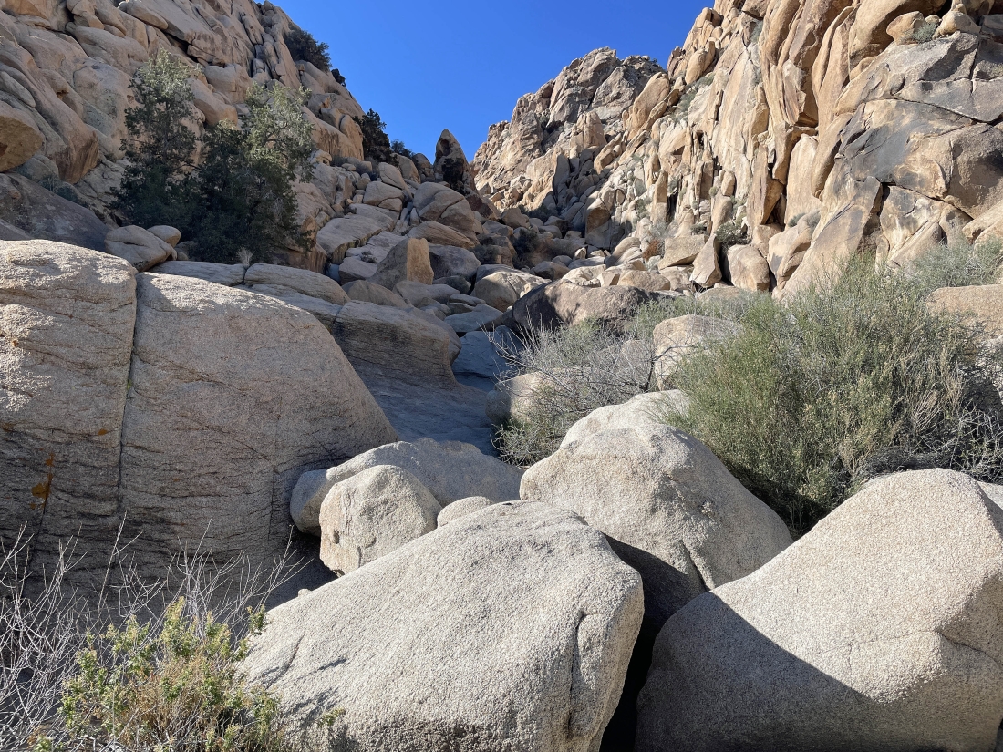
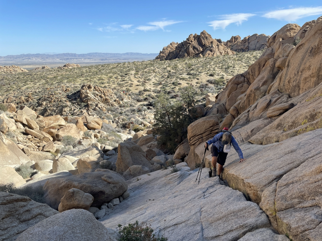
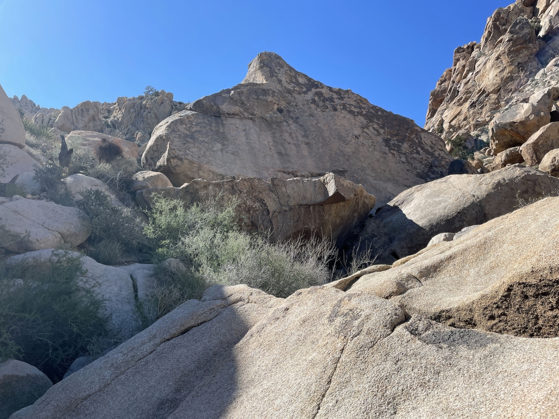
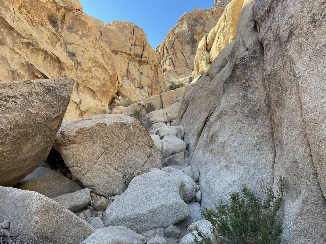
Gaining elevation and scrambling up Gunsight Canyon.
|
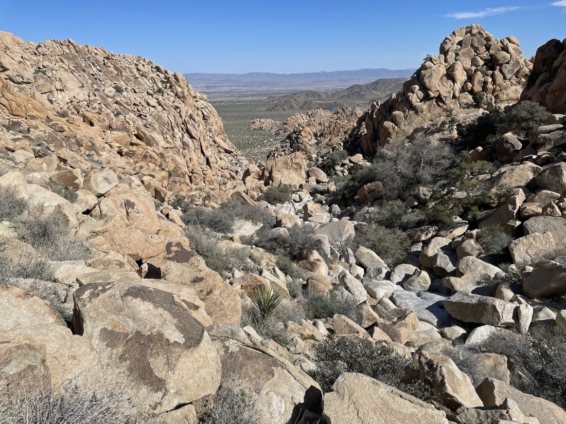
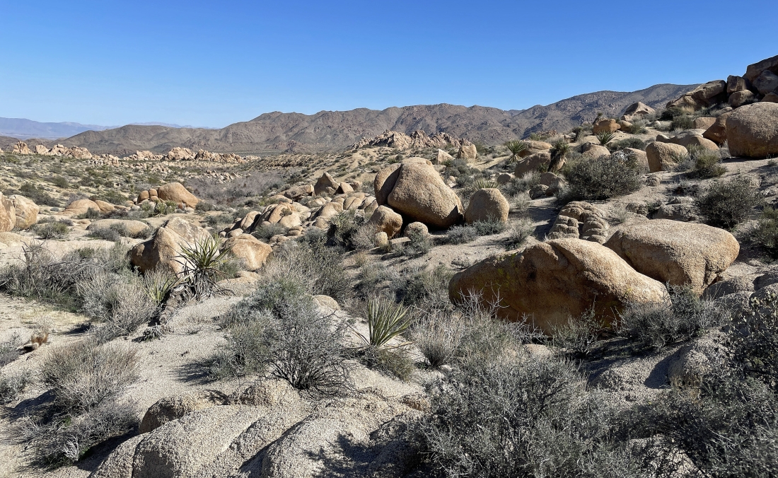
Looking back as we head up Gunsight Canyon. The town of Twentynine Palms is in the distant valley on the left... and the largest Marine Corps base in the United States is also located in the valley.
|
Denali Girl is working her way up Gunsight Canyon.
|
Looking back... you can see Denali Girl in the middle of the photo... she is not going any further because a guided hiking party of 15 people passed us and were too loud.
|
The guided hiking group let me go on... and I never saw them again.
|
Gaining elevation and scrambling up Gunsight Canyon... going to the left here.
|
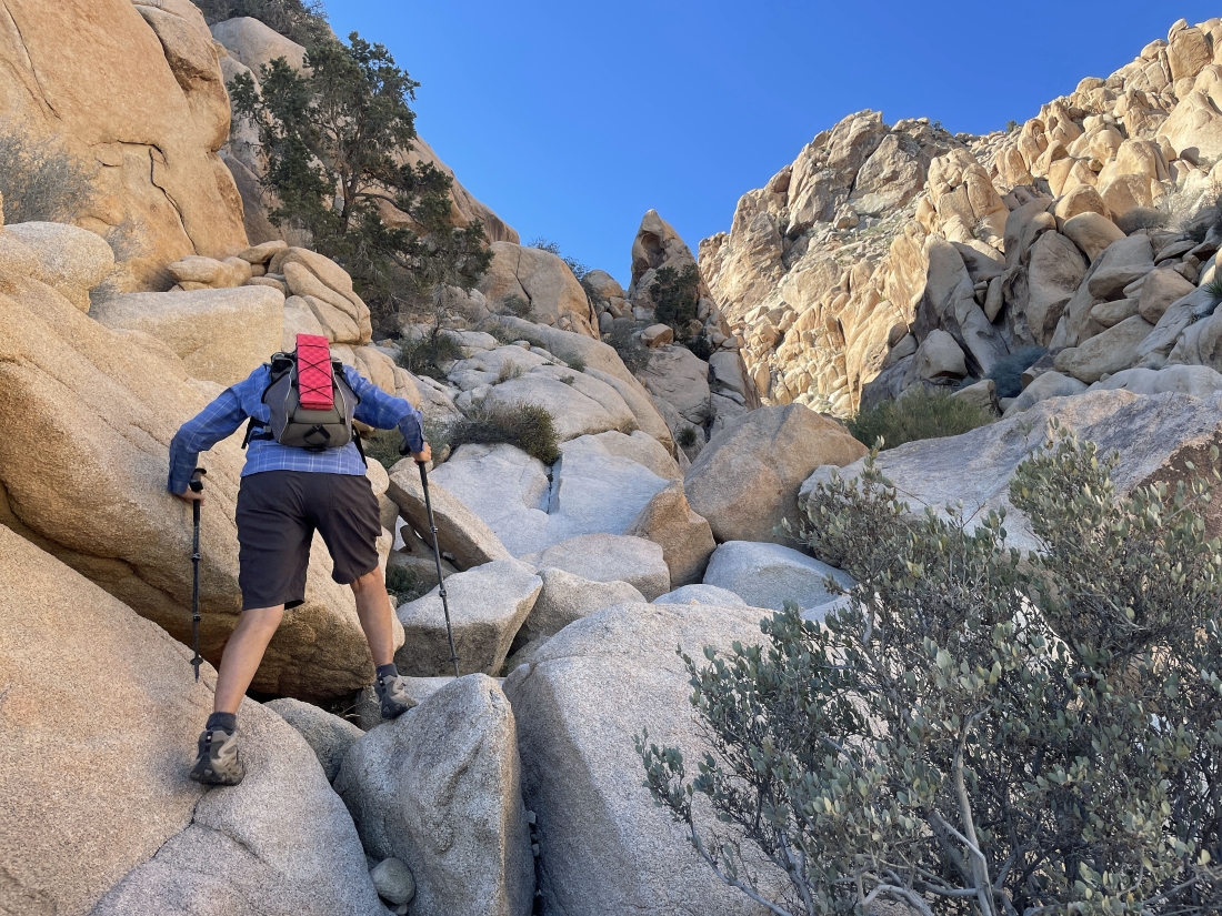
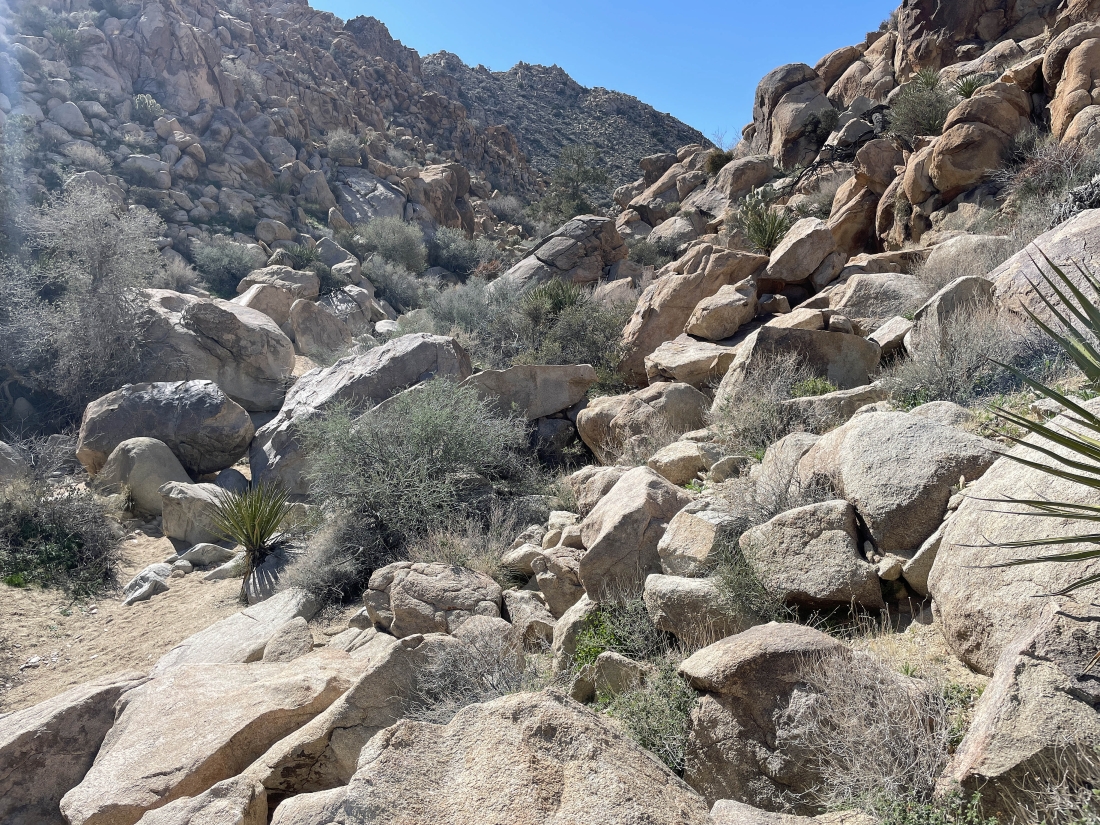
Gaining elevation and scrambling up Gunsight Canyon.
|
Looking back as I continue to gain elevation in Gunsight Canyon.
|
Gaining elevation and scrambling up Gunsight Canyon.
|
Gaining elevation and scrambling up Gunsight Canyon.
|
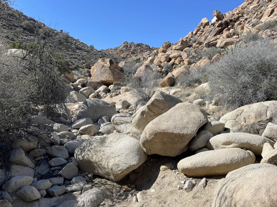
Gaining elevation and scrambling up Gunsight Canyon.
|
Gaining elevation and scrambling up Gunsight Canyon.
|
Gaining elevation and scrambling up Gunsight Canyon.
|
Gaining elevation and scrambling up Gunsight Canyon.
|
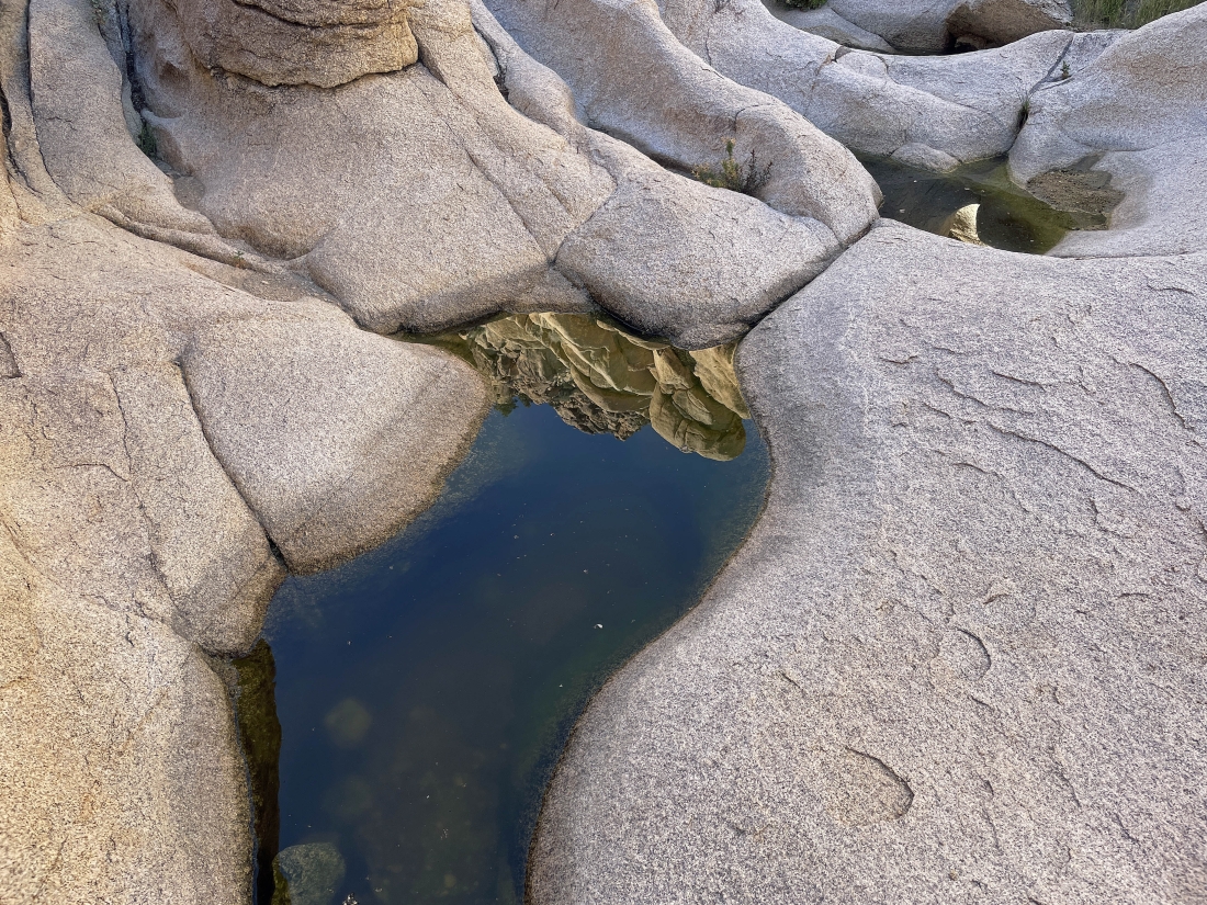
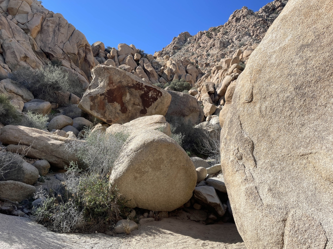
Found a few potholes at an elevation of 3680 feet after hiking up the canyon a little more than a quarter-mile.
|
Looking back as I continue to gain elevation in Gunsight Canyon.
|
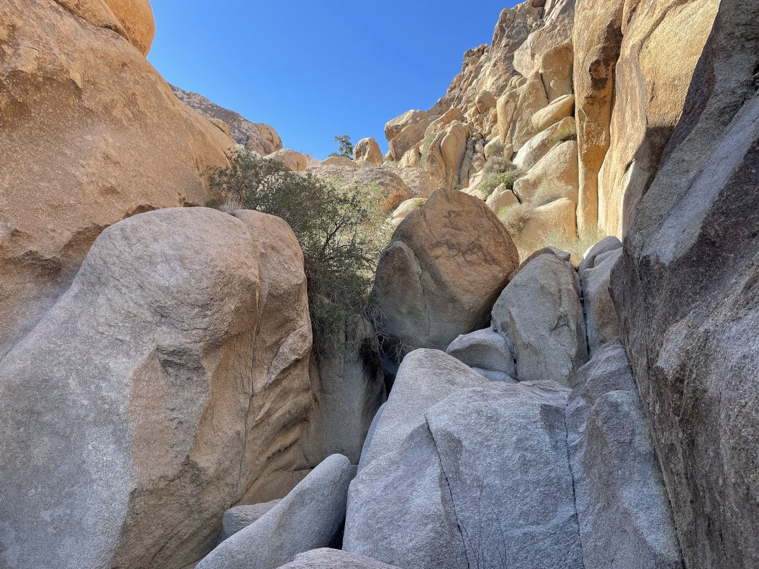
Gaining elevation and scrambling up Gunsight Canyon.
|
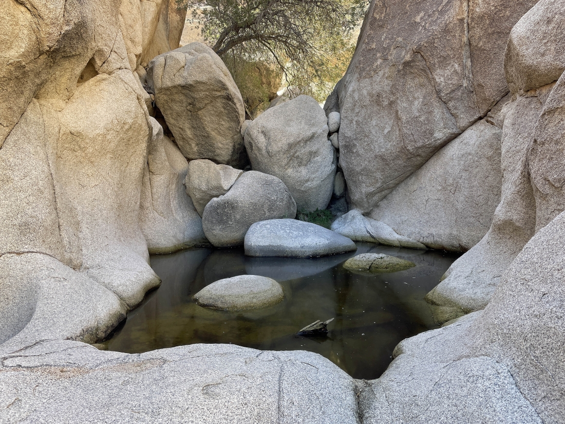
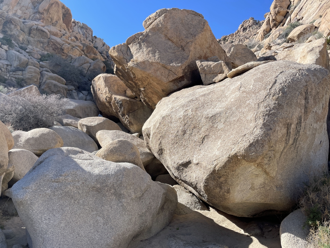
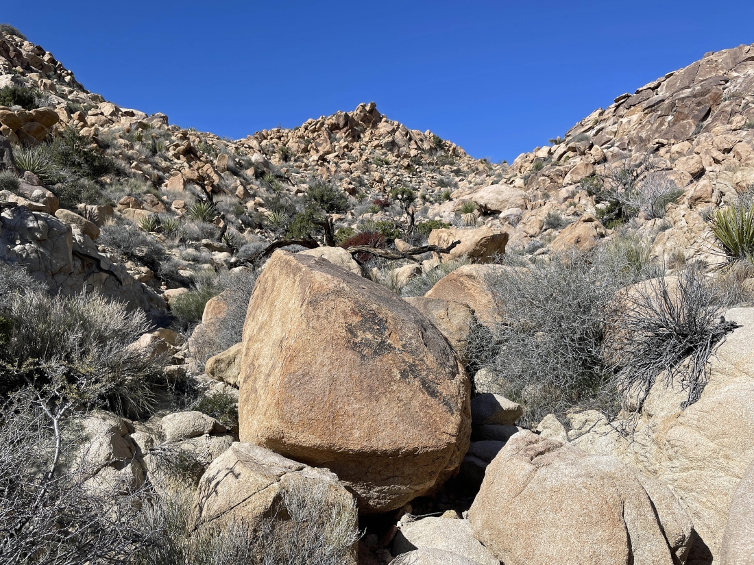
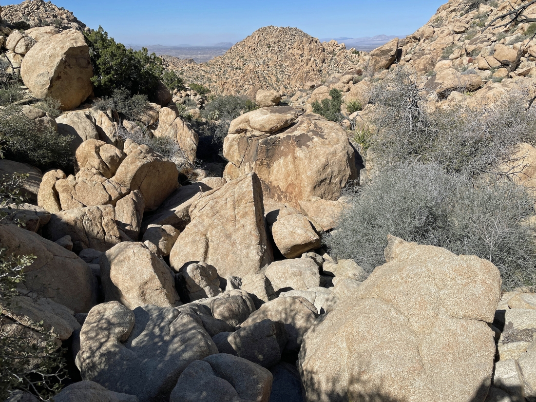
A larger pothole than the ones I saw a little earlier... and the rocks in the pothole were very helpful in staying dry.
|
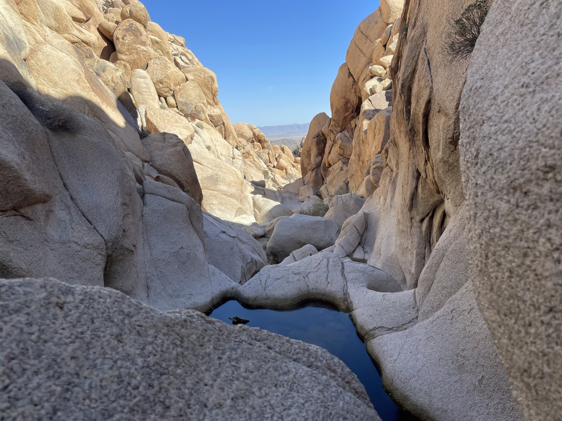
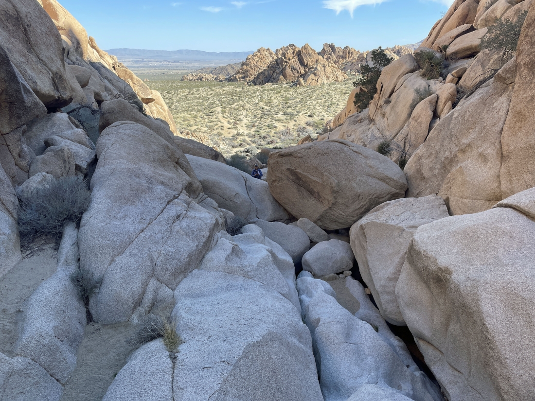
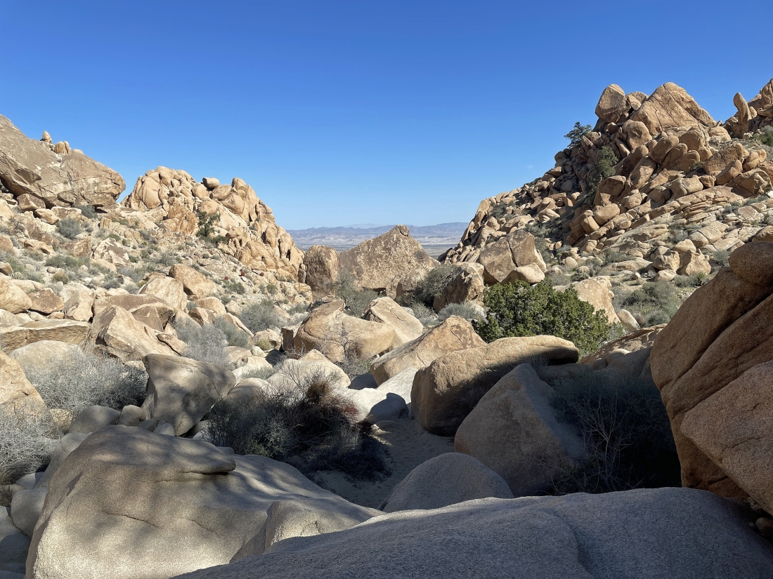
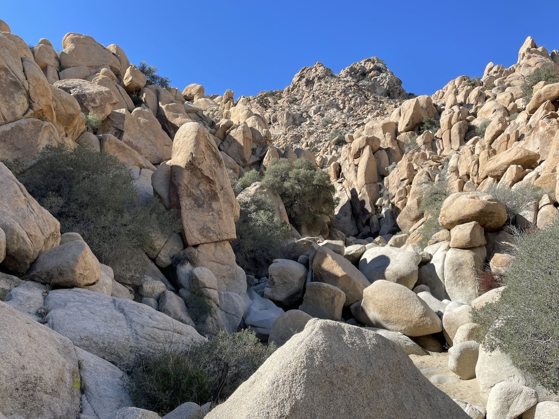
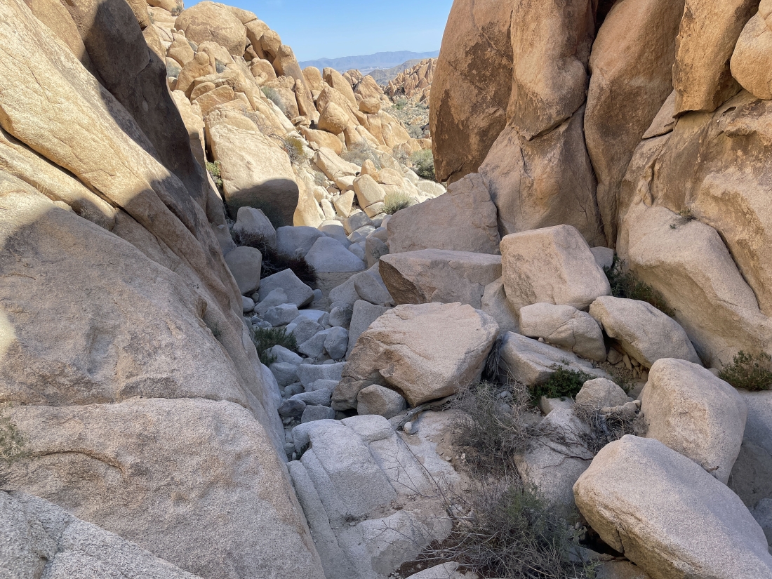
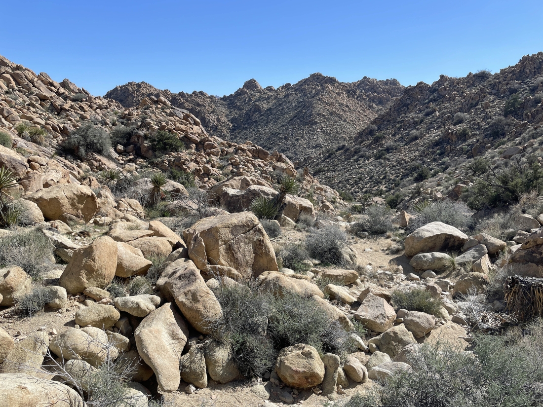
Done with the potholes... and looking back down Gunsight Canyon.
|
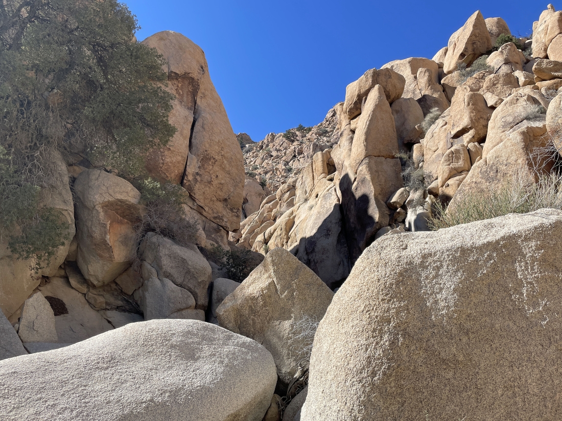
Heading to the left here as I continue to gain elevation in Gunsight Canyon.
|
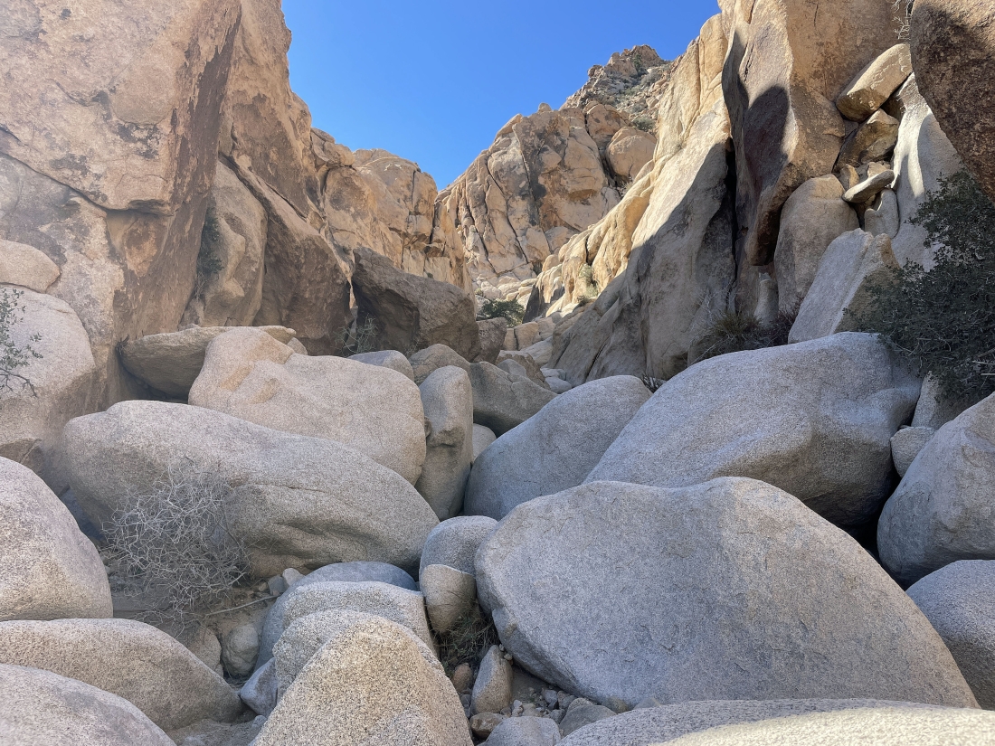
Looking back as I continue to gain elevation in Gunsight Canyon.
|
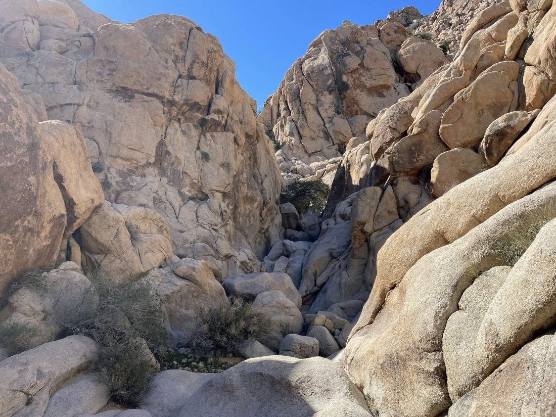
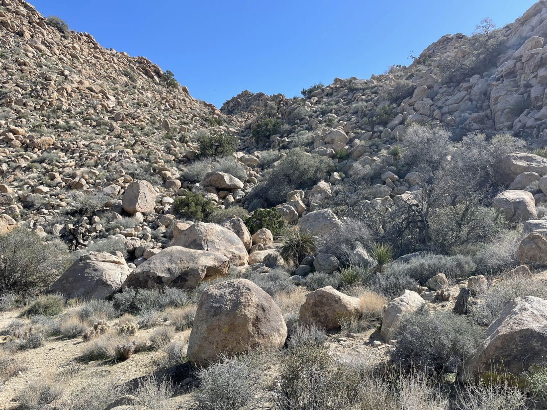
Gaining elevation and scrambling up Gunsight Canyon... and it looks like the terrain is going to ease up a bit.
|
Looking back down Gunsight Canyon after scrambling for a half-mile up the canyon... I am at an elevation of 3850 feet... gaining 475 feet of elevation in the half-mile... and I assume that I am standing in the 'Gunsight'.
|
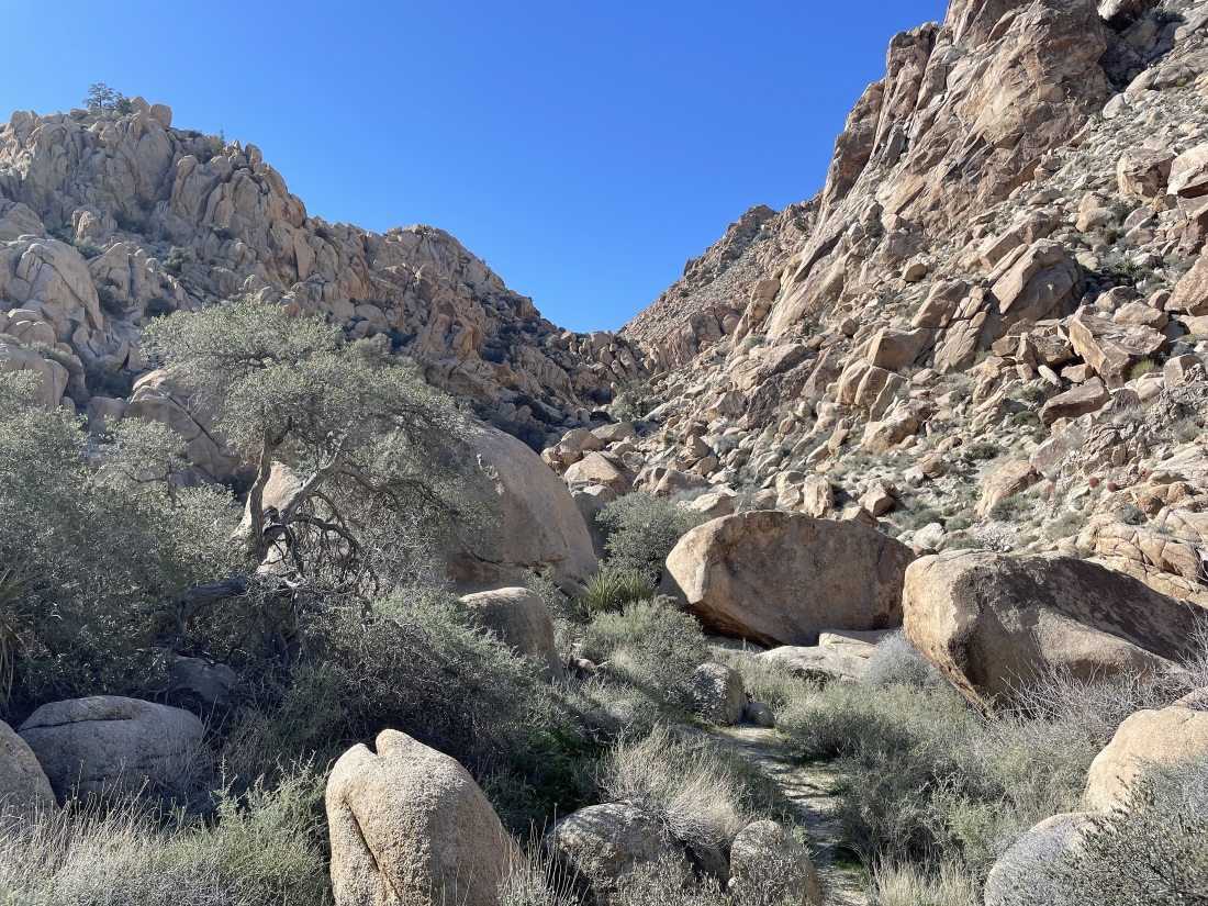
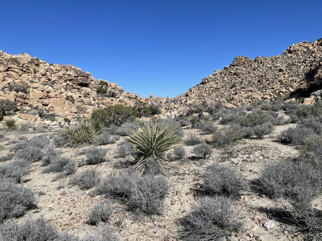
Gunsight Canyon continues... but on much easier terrain.
|
Gunsight Canyon continues... but on much easier terrain.
|
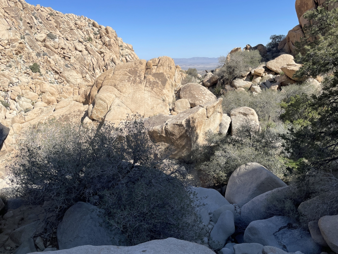
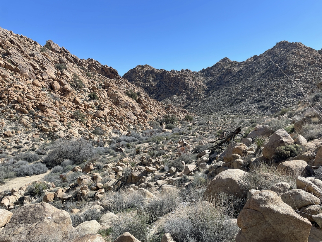
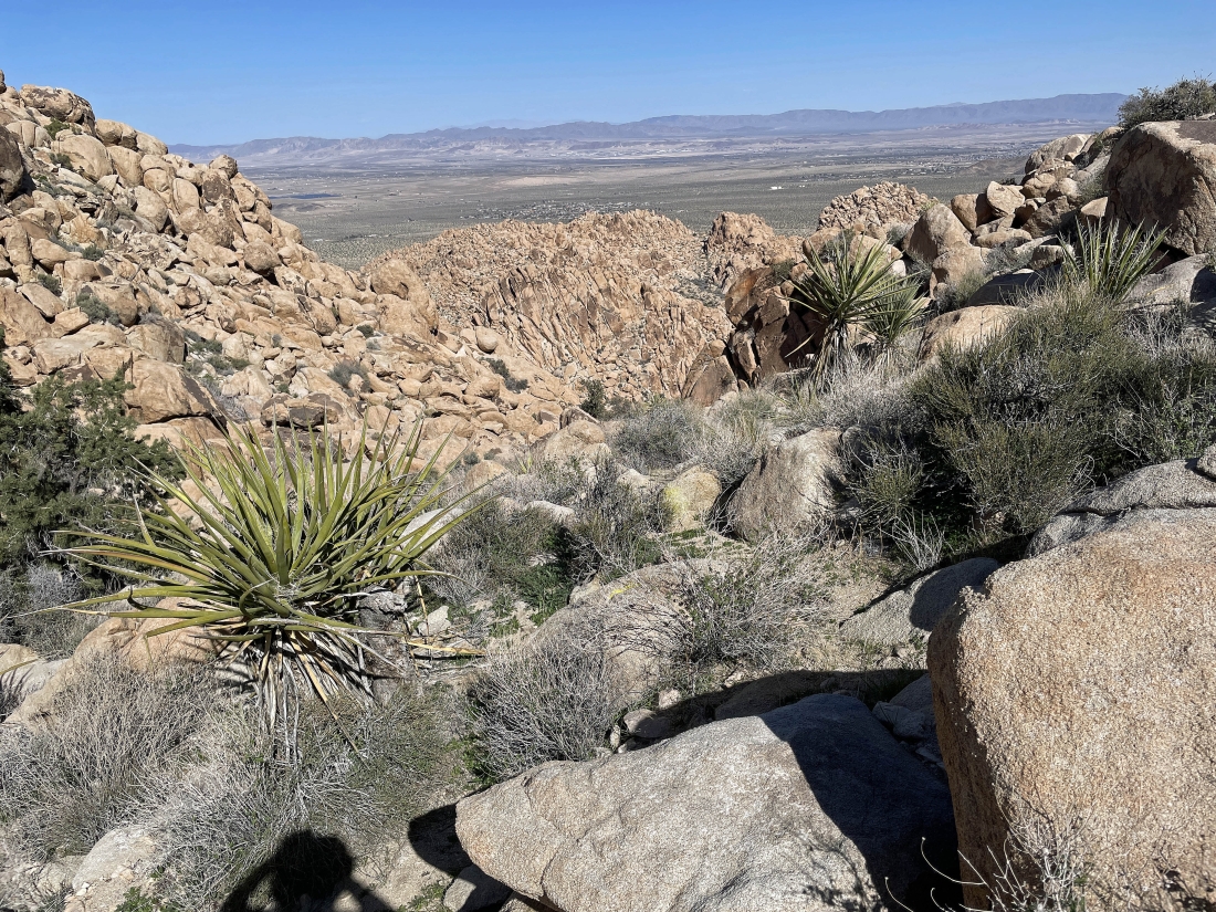
After hiking a total of one mile I have reached a shelf at 3900 feet of elevation. I have been hiking SW in Gunsight Canyon... and now I will start hiking NW toward the low point on the far right horizon.
|
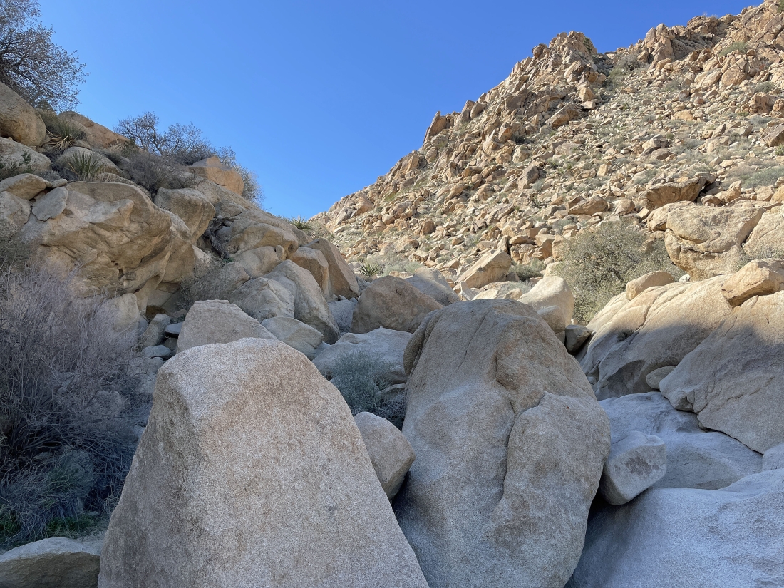
Looking back where I came up out of Gunsight Canyon.
|
Continuing to hike NW... heading for the low point up on the right.
|
Looking back where I came up out of Gunsight Canyon.
|
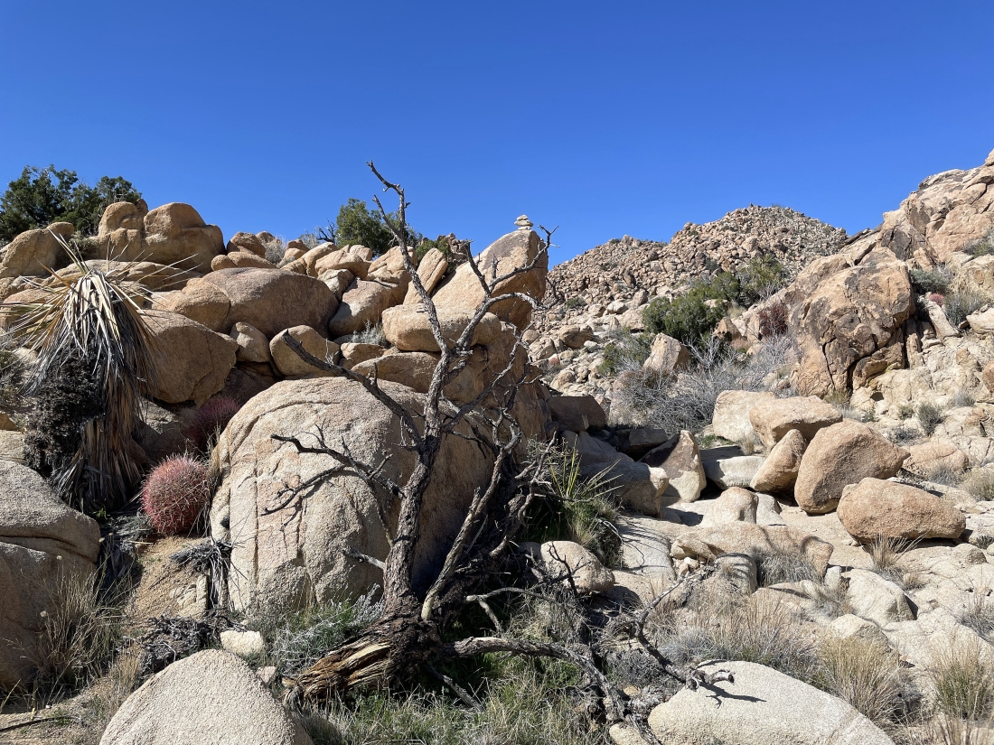
Continuing to gain elevation as I hike NW... there is a cairn in the middle of the photo... that is kind of comforting.
|
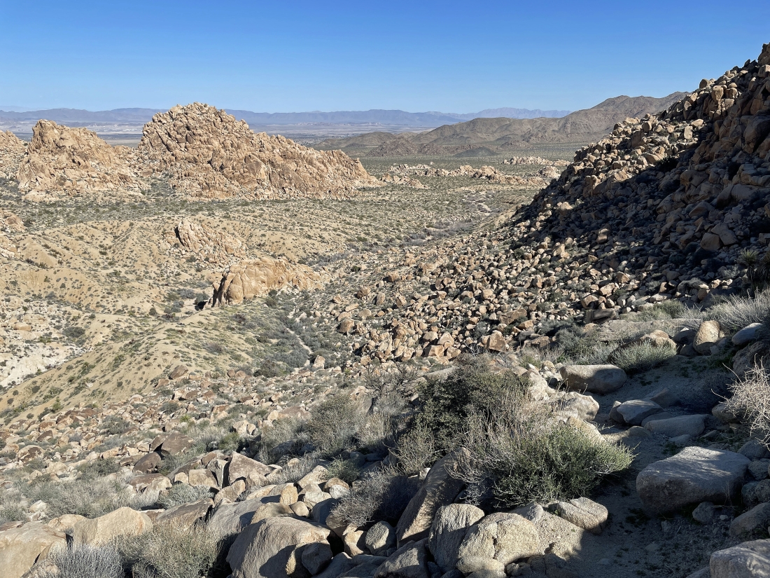
After hiking a total of 1.5 miles I have reached another shelf at an elevation of 4110 feet... my high point for the day. I will continue hiking toward the low point on the horizon out there in the middle of the photo.
|
Still on the shelf... now hiking north for the low point on the horizon.
|
Getting ready to do a little more scrambling as I continue to hike north as I lose some elevation.
|
Back down on a little shelf as I continue to lose elevation... and I will head over to the far right.
|
Looking back at the terrain I just came down to this shelf.
|
Getting ready to start hiking NE as I give up another 400 feet of elevation.
|
I have found a boot path that will really help me give up 400 feet of elevation and get back down on the desert floor.
|
This boot path will get me down to the desert floor.
|
I am done with the boot path and have reached the desert floor... now hiking east and looking for my car.
|
I can see my car out there in the middle of the photo... and I can see part of the Indian Cove Nature Trail in the left-center of the photo... and I will head for the trail.
|
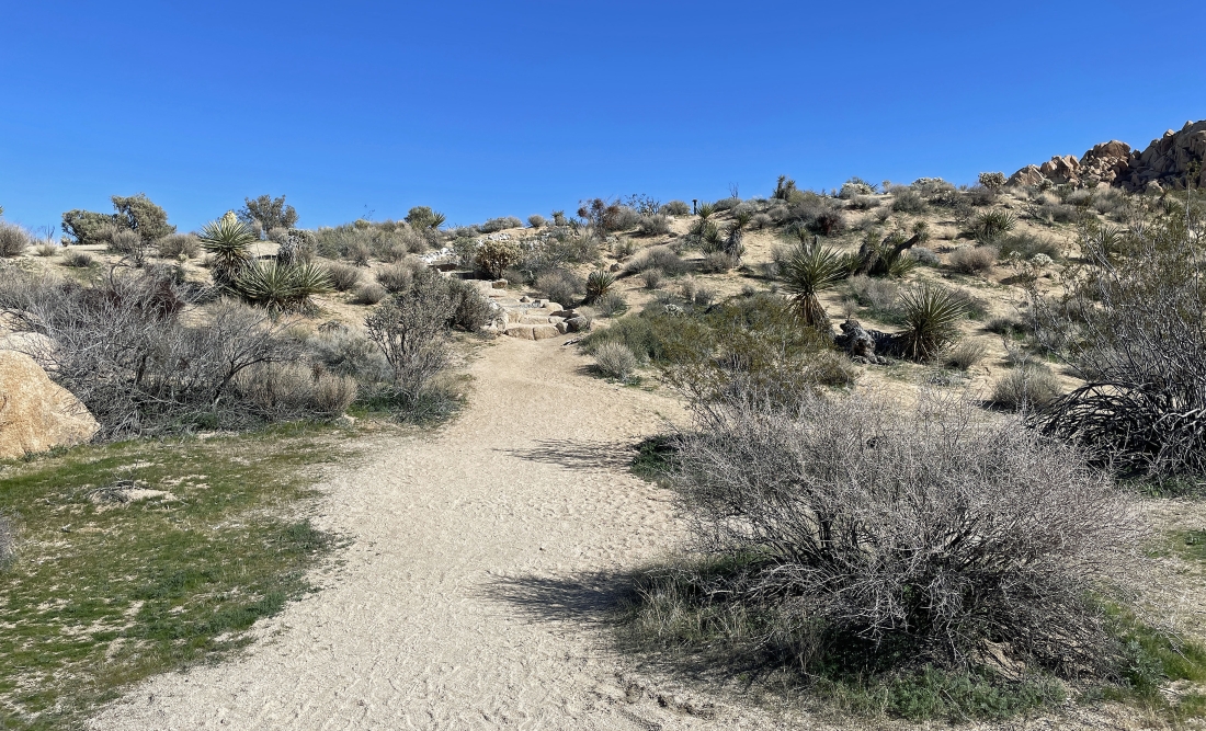
I have reached the Indian Cove Nature Trail and will follow it a tenth of a mile back to the car.
|
I'm 50 feet from the car... closing this loop hike and looking out there at the 'Gunsight'... the total loop hike was 2.9 miles, gaining 810 feet of elevation.
|
