Lost Horse Mountain and Lost Horse Mine - 2.21.2026
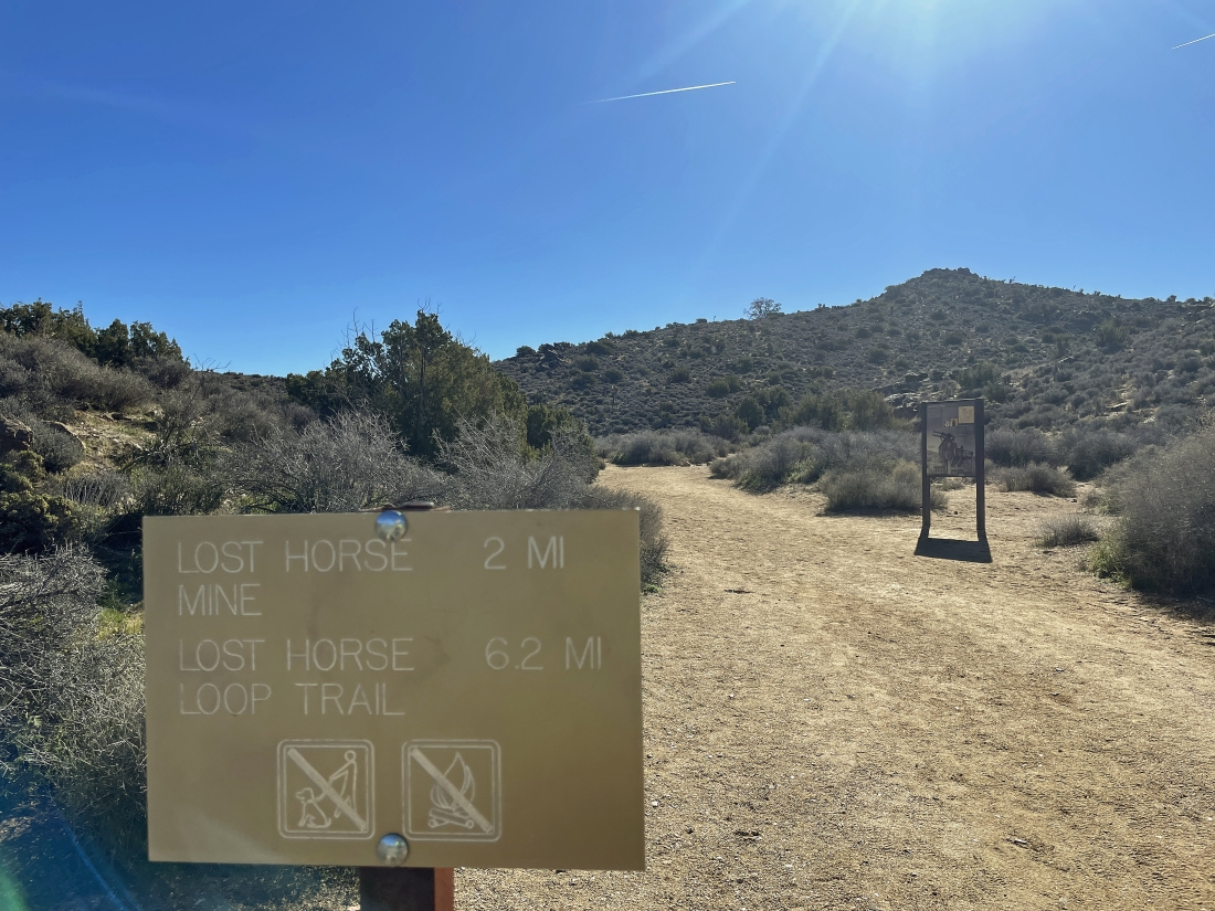
We parked at the end of Lost Horse Mine Road in Joshua Tree National Park... and will do the 2 mile hike out to the mine... then go up to the summit of Lost Horse Mountain... then go cross-country along the mountain's NW ridge and follow the ridge back to our car.
|
We started the hike by hiking east on the Lost Horse Mine Trail.
|
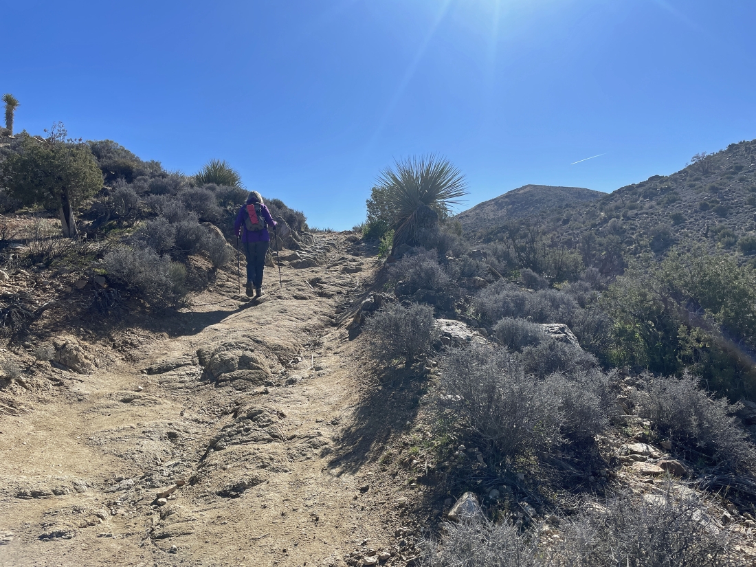
Now hiking SE on the Lost Horse Mine Trail.
|
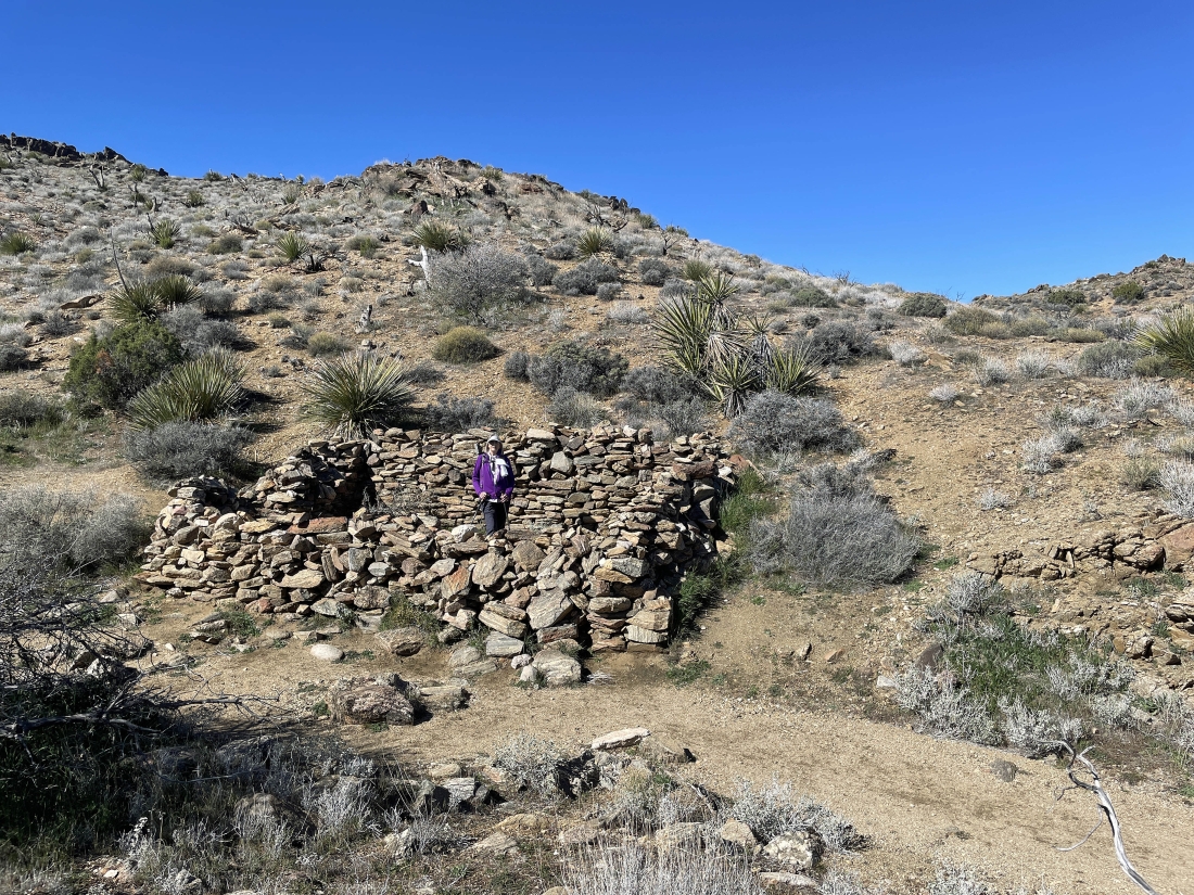
Found what we think was the foundation of a cabin near the mine.
|
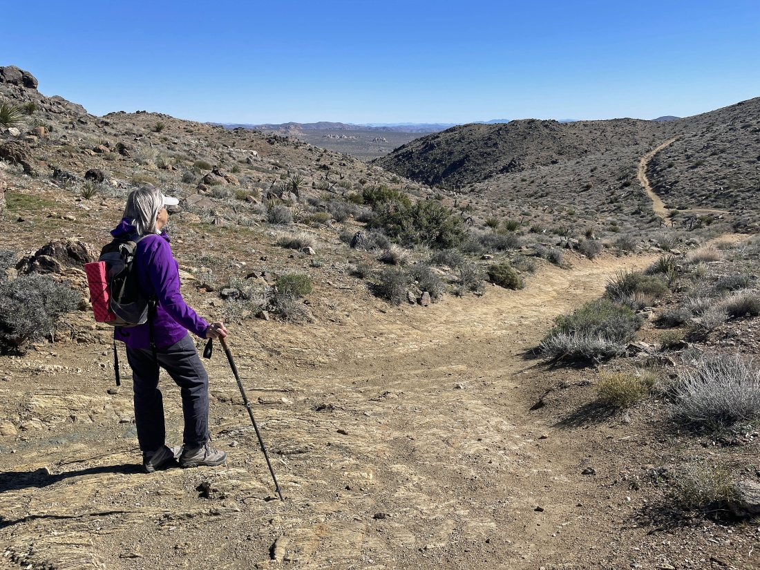
Continuing to gain elevation on the Lost Horse Mine Trail... here looking north to Ryan Mountain on the left... with Queen Mountain on the horizon in the middle of the photo... with Queen Valley in the distance on the right.
|
|
We can see the mine on the hillside in the foreground... with Lost Horse Mountain on the horizon in the middle of the photo.
|
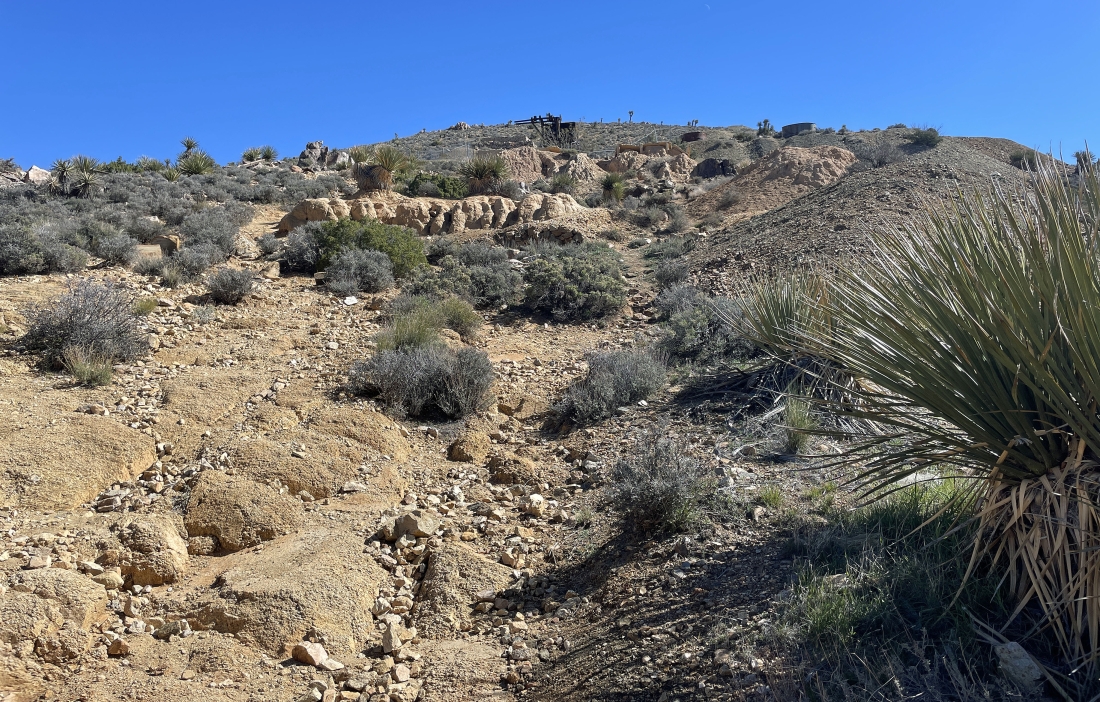
Heading up to the mine in the distance.
|
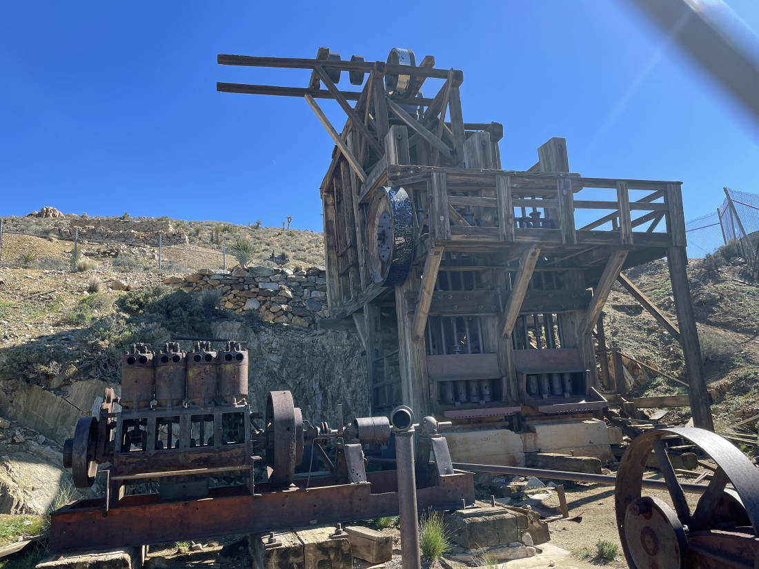
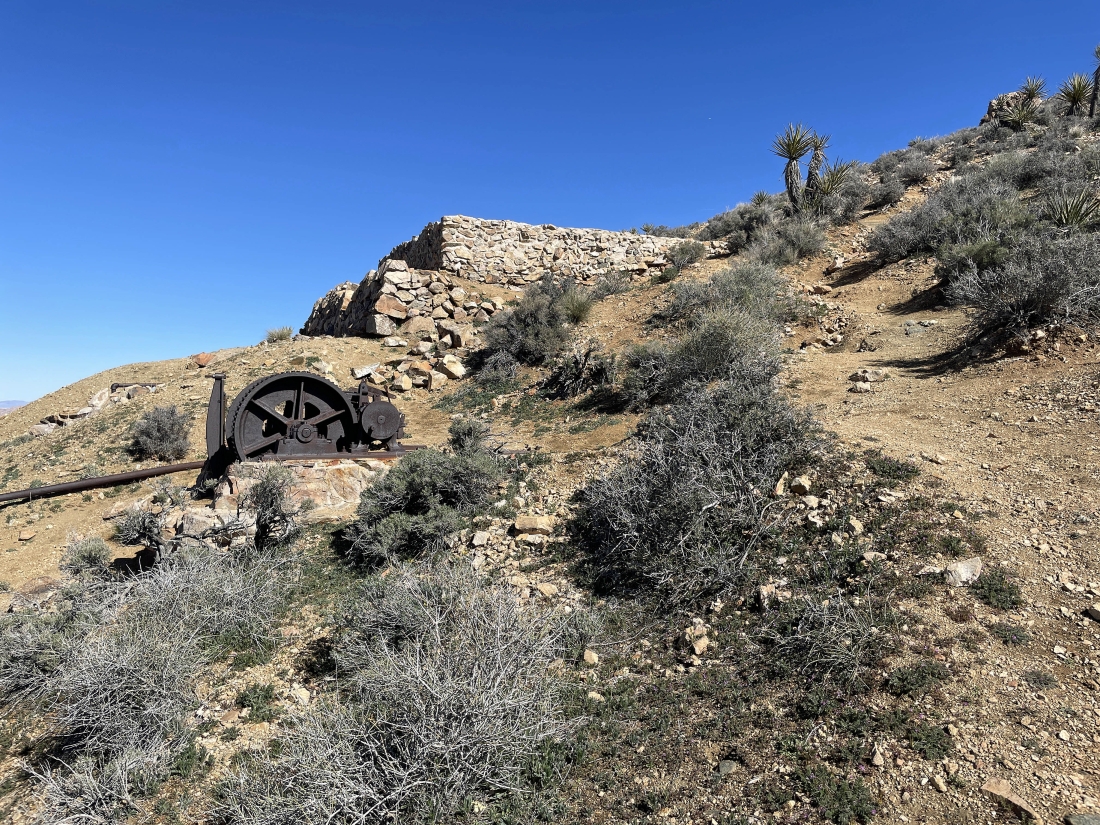
After hiking two miles we have arrived at the Lost Horse Mine... operated by Johnny Lang and a few others from 1894 until 1908.
|
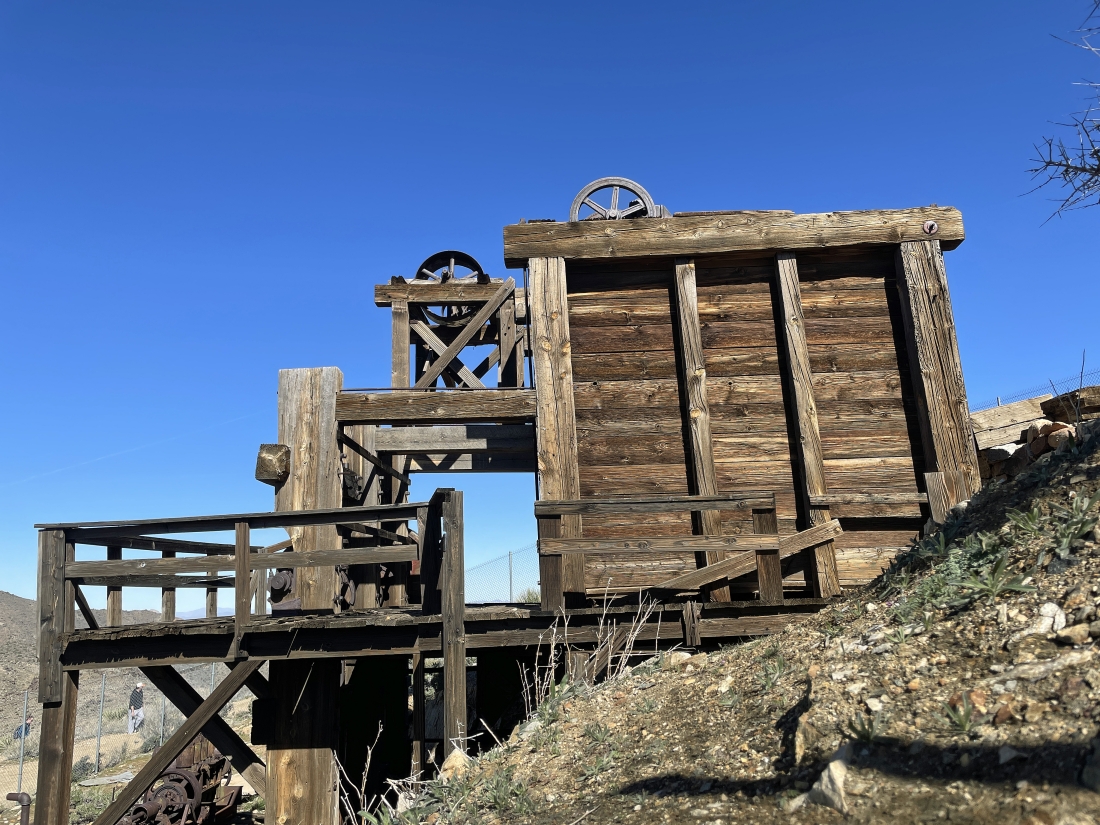
From 1894 to 1908 the mine produced 10,000 ounces of gold and 16,000 ounces of silver.
|
Continuing up above the Lost Horse Mine.
|
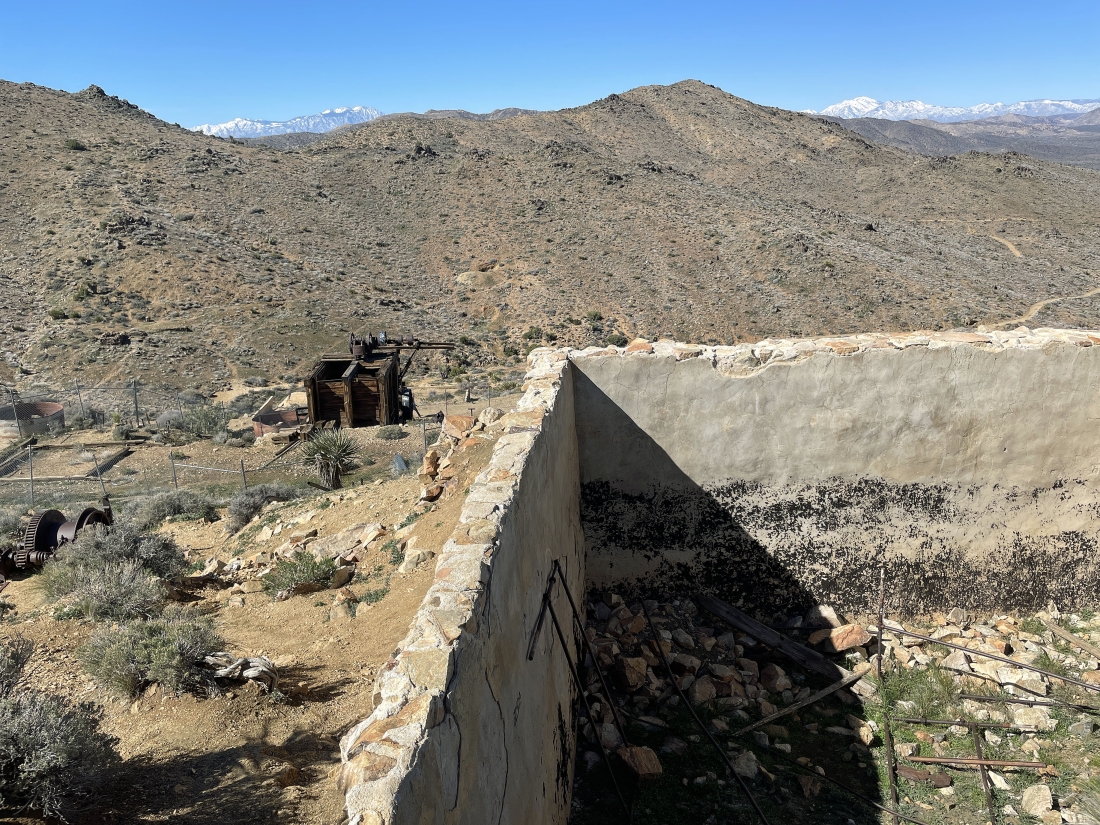
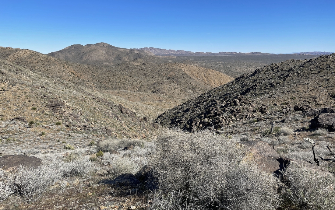
Looking back down at the Lost Horse Mine... and across the valley at Point 5288 which we will reach as we make a loop out of our hike... the snow covered San Jacinto Mountains are on the left horizon... with the snow covered San Bernardino Mountains on the right horizon.
|
At Point 5188 we have reached the Lost Horse Benchmark... here looking north to Ryan and Queen... east and SE to the Hexie Mountains... and south to part of the Little San Bernardino Mountains.
|
From the Lost Horse Benchmark we are looking across the valley... south to the summit of Lost Horse Mountain... west to the San Jacinto Mountains which are directly above Palm Springs... and west to Point 5288 which we will visit a little later... NW to Quail Mountain (the high point in the park) and the San Bernardino Mountains... and north toward the Wonderland of Rocks and Ryan Mountain.
|
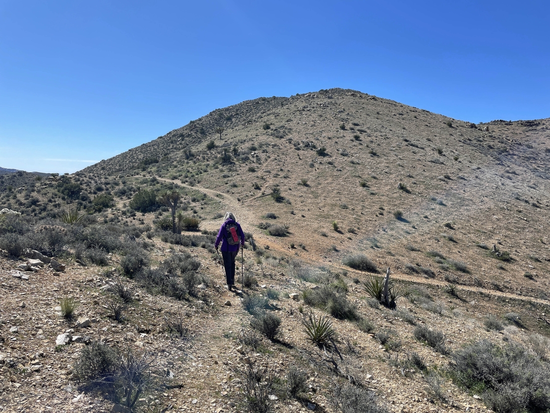
Leaving the Lost Horse Benchmark and hiking south on a boot path toward the summit of Lost Horse Mountain out there on the right... with the Lost Horse Mine Trail down below on the right.
|
Getting ready to rejoin the Lost Horse Mine Trail for about 30 seconds before we follow a good boot path up to the 5313 foot summit of Lost Horse Mountain.
|
|
After hiking a total of 2.4 miles we have reached the 5,313 foot summit of Lost Horse Mountain... and getting ready to start hiking cross-country along the NW ridge of Lost Horse Mountain... heading toward Quail Mountain on the horizon.
|
Looking back at the summit of Lost Horse Mountain in the right foreground... with Ryan Mountain on the extreme far left horizon and Queen Mountain beyond it on the far left... with Queen Valley in the left foreground and Pleasant Valley on the right. The Geology Tour Road connects the two valleys.
|
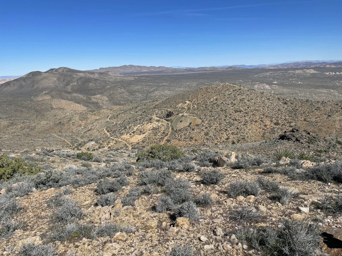
Continuing to hike along the NW ridge of Lost Horse Mountain... here looking across the valley at the Lost Horse Mine... with the Lost Horse Benchmark just above the mine.
|
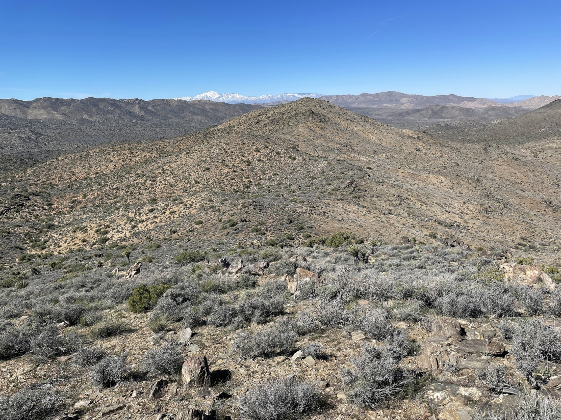
Continuing to hike along the NW ridge of Lost Horse Mountain... and we can see Point 5288 out there in the distance... with the San Bernardino Mountains on the left-center horizon... and Quail Mountain on the right-center horizon.
|
Nearing the summit of Point 5288... with the San Jacinto Mountains on the left horizon... with Ryan Mountain and Queen Mountain on the right.
|
|
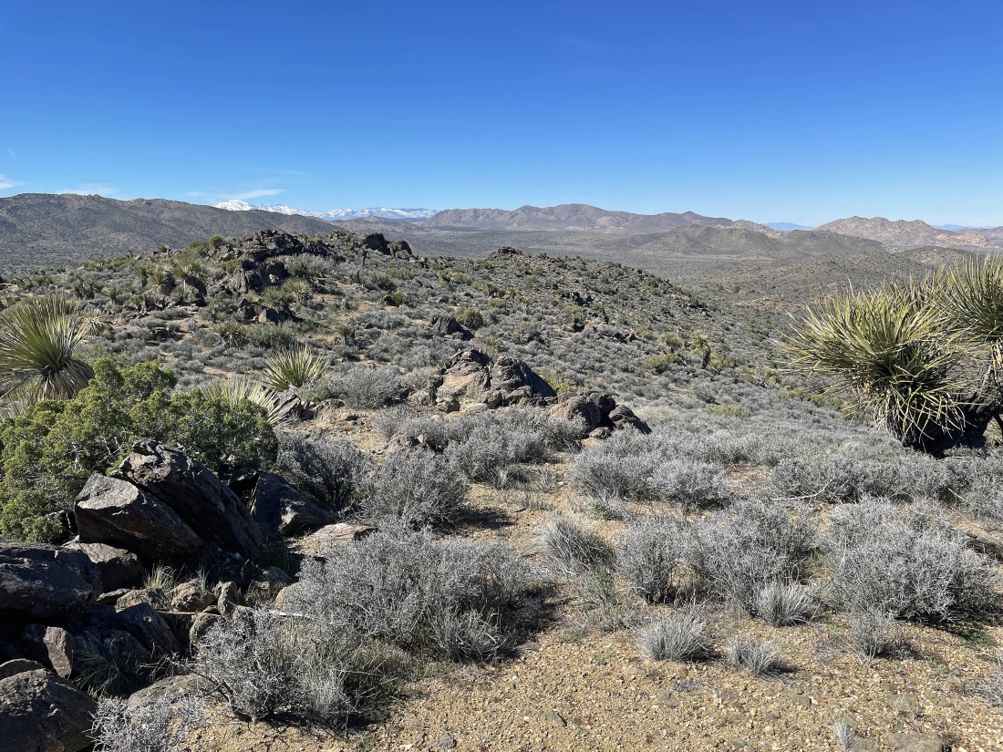
We have crossed over Point 5288 and continuing to hike along the NW ridge of Lost Horse Mountain.
|
Continuing to hike along the NW ridge of Lost Horse Mountain... losing elevation and looking for our car.
|
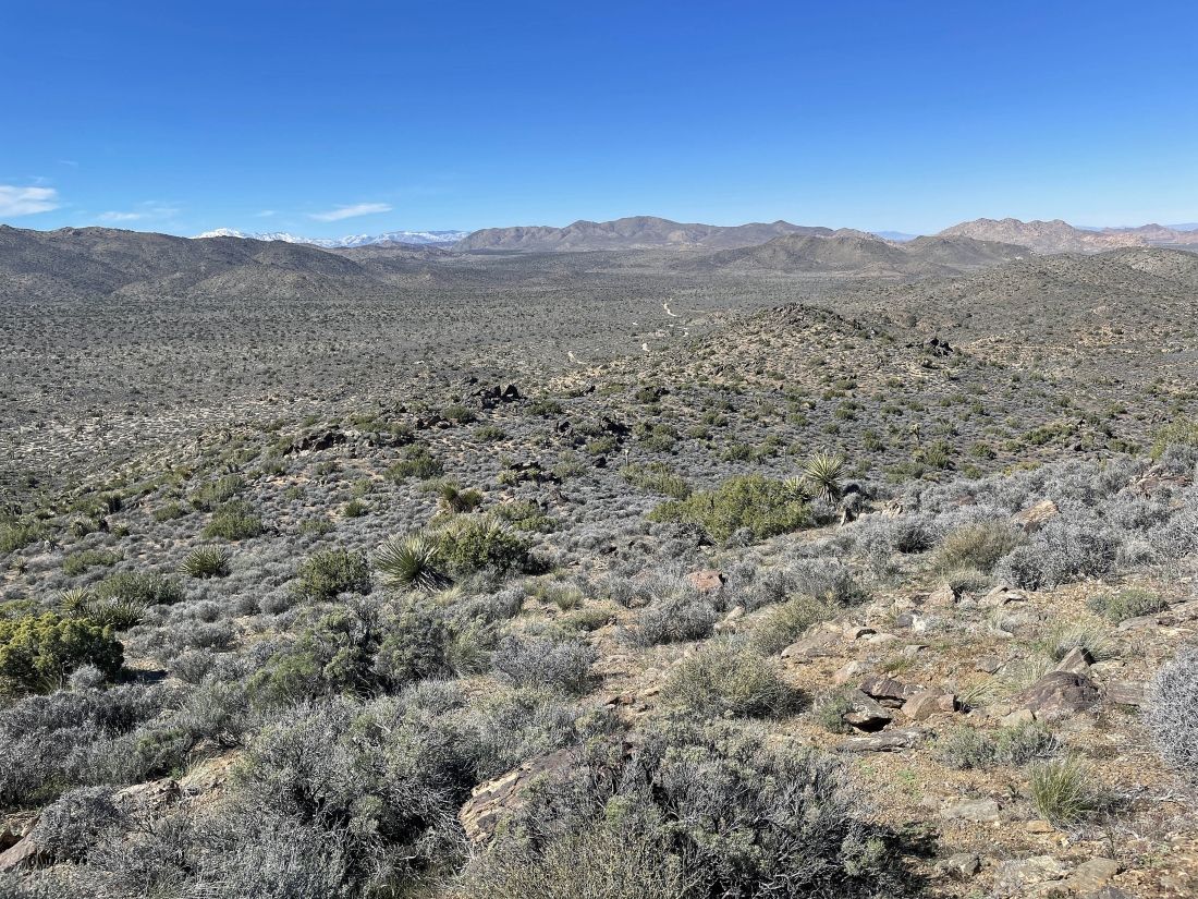
Continuing to hike along the NW ridge of Lost Horse Mountain... losing elevation and looking for our car.
|
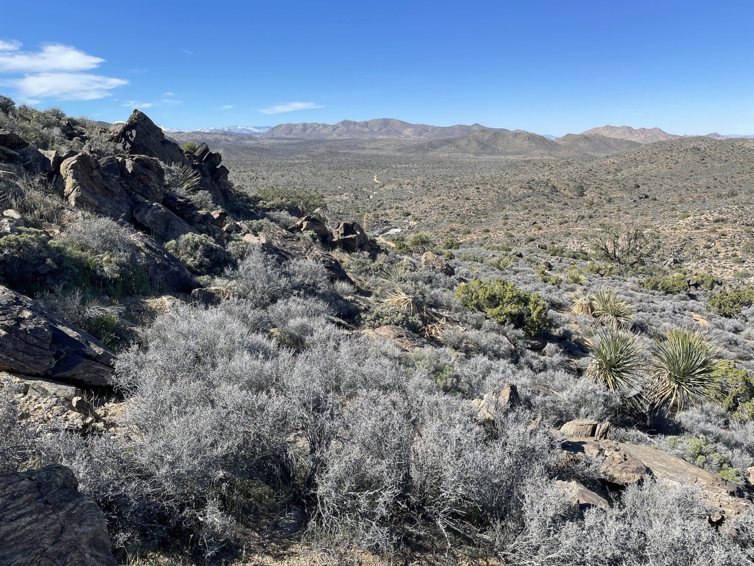
Continuing to hike along the NW ridge of Lost Horse Mountain... losing elevation and we can see the parking lot.
|

Almost back to our car... the total hike was 4.4 miles, gaining 1064 feet of elevation.
|
