Rattlesnake Canyon - 2.24.2026
|
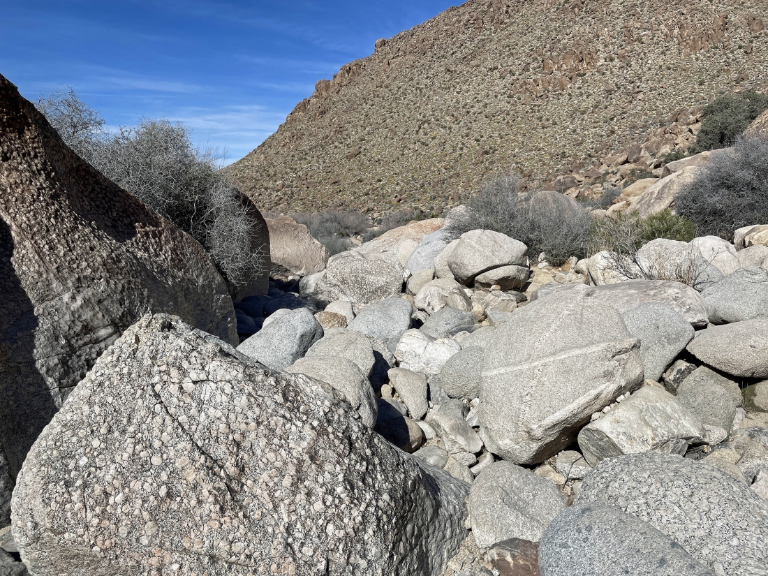
We parked in the Indian Cove area of Joshua Tree National Park... at the end of Indian Cove Road East... but there was no official trailhead for Rattlesnake Canyon... we will just go to the left here and get on the other side of these huge rocks and boulders in the foreground.
|
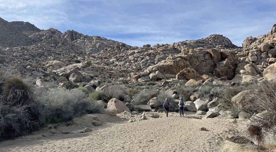
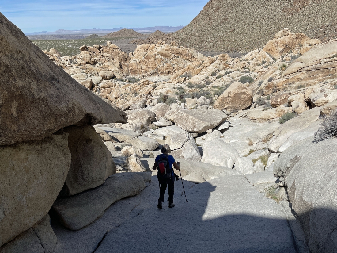
From our car we hiked east for a tenth of a mile... and are now hiking south... and getting ready to do some bouldering... going up we will angle off to the left... and we will return by coming down from the middle of the photo.
|
We are a stone's throw from the previous photo... and this is where we will close the loop portion of our hike/scramble in a few hours.
|
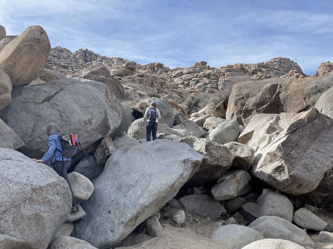
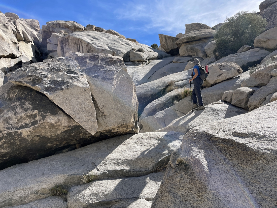
Hiking/scrambling SE.
|
Hiking/scrambling SE.
|
Hiking/scrambling SE.
|
Still hiking SE... looking back to the north at part of the Indian Cove Campground.
|
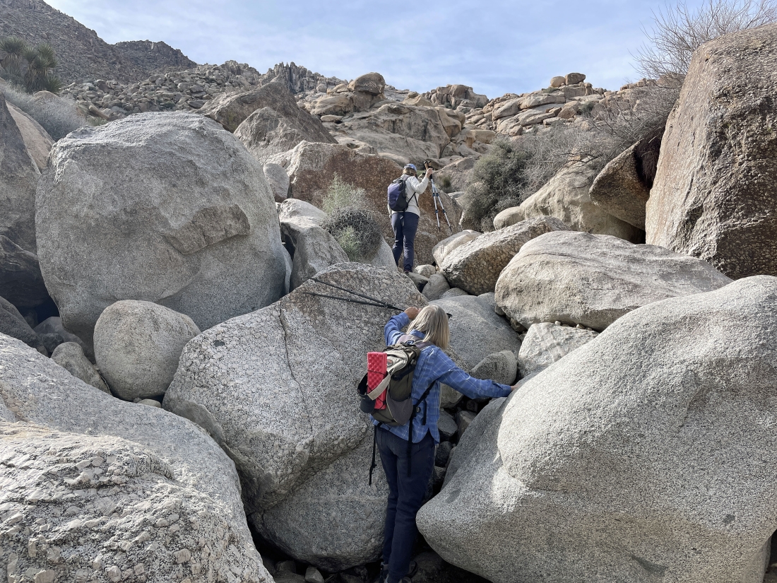
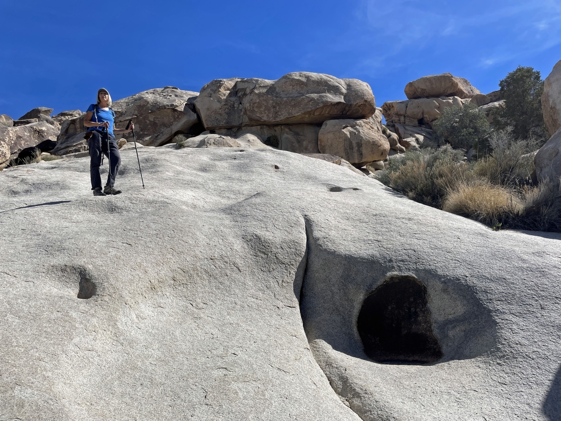
Still hiking/scrambling SE... looking for a place to start hiking over to join Rattlesnake Canyon.
|
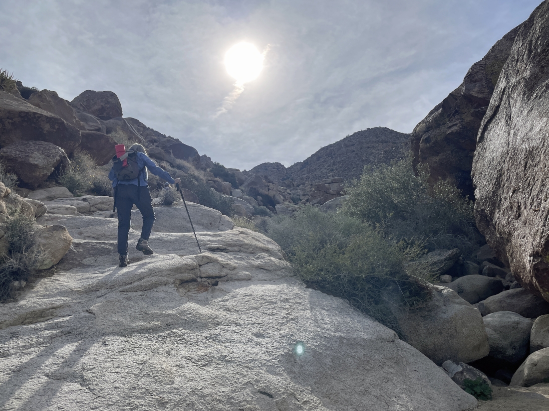
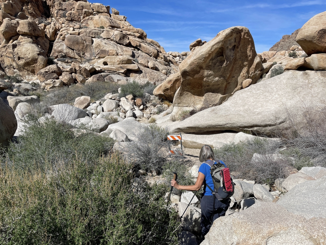
After hiking a total of 4 tenths of a mile we have started hiking SW and heading over to join Rattlesnake Canyon.
|
Heading over to join Rattlesnake Canyon.
|
|
Almost in Rattlesnake Canyon... the canyon over in the left center of the photo.
|
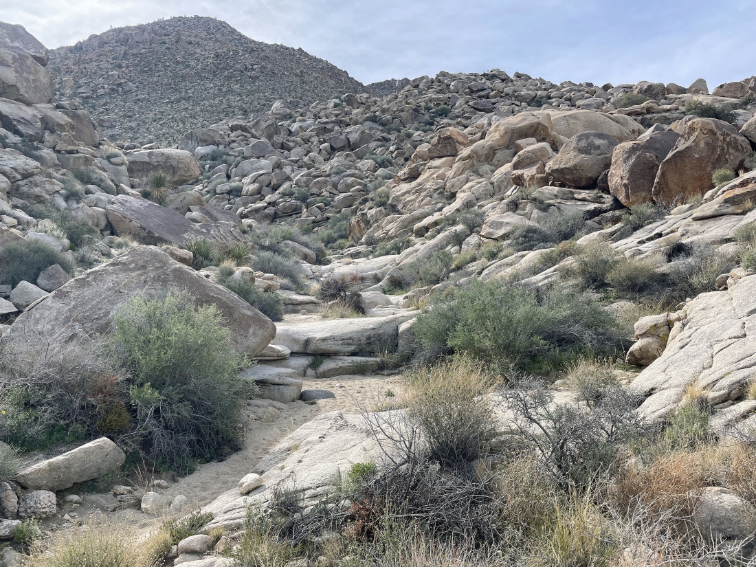
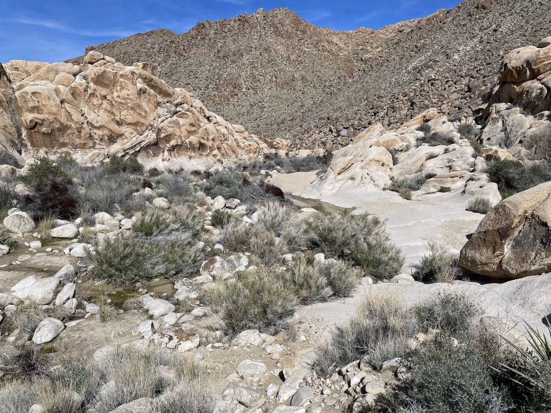
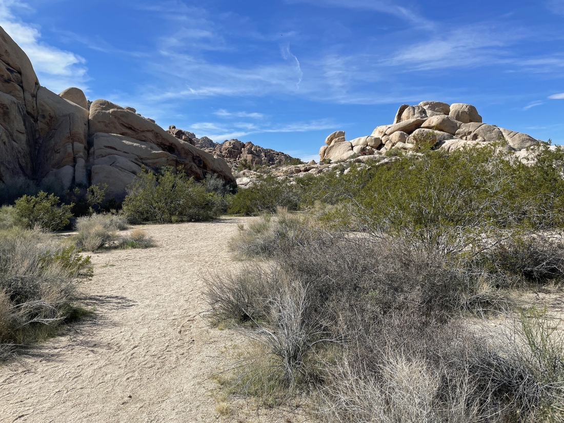
After hiking a total of one-half mile we have joined Rattlesnake Canyon... it took us one and a half hours to do this half-mile... and we did not take any rest stops.
|
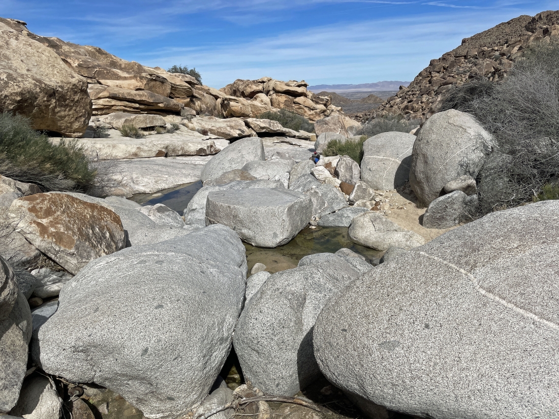
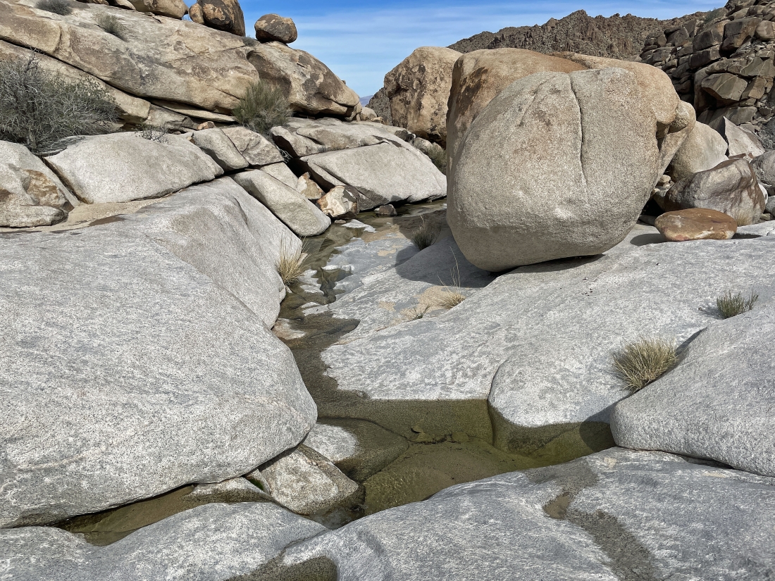
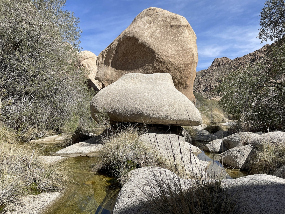
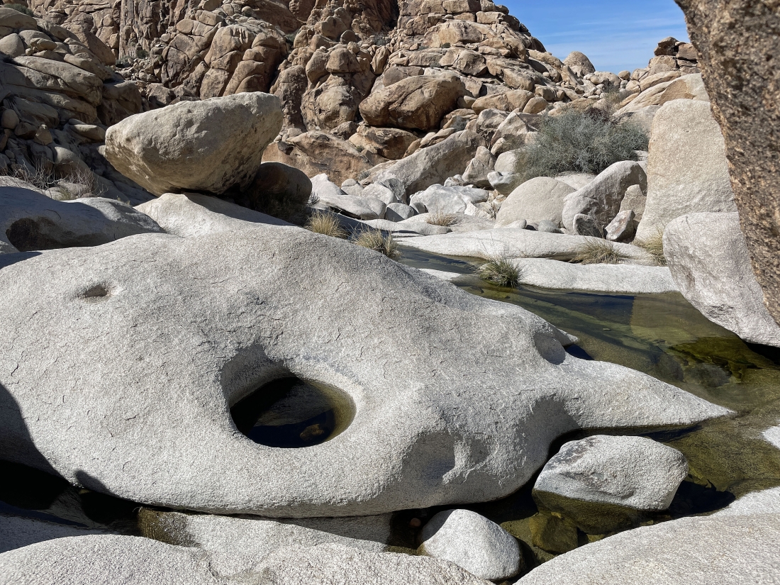
This is where we will return to the loop portion of our hike on the way back to the car... the canyon is known for its bouldering, rock scrambling, water features, dryfalls, potholes, slot-like channels and occasional pools of water... and this time there was continual water flowing in the canyon.
|
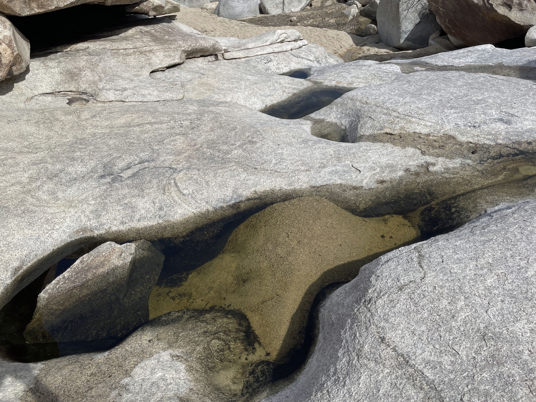
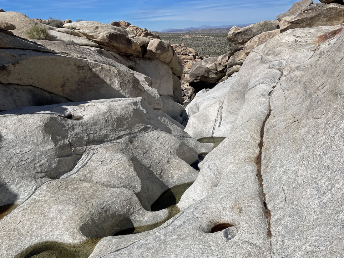
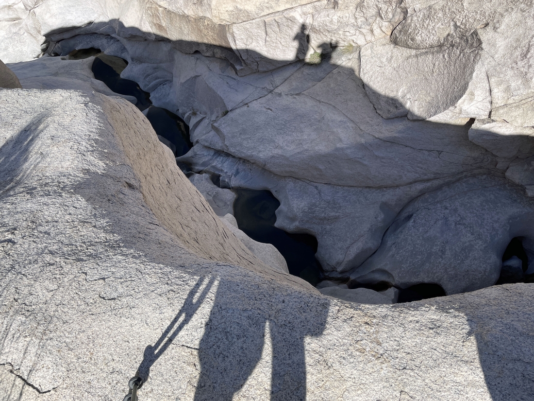
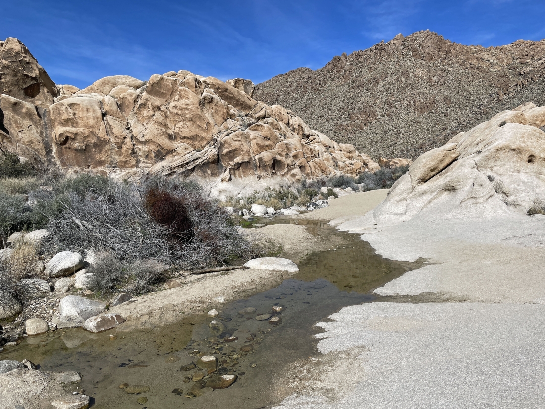
Potholes... and the water is flowing.
|
Denali Girl and lots of water in Rattlesnake Canyon.
|
Now hiking south in Rattlesnake Canyon... here looking back to the north.
|
Continuing to hike south in Rattlesnake Canyon... here looking back to the north.
|
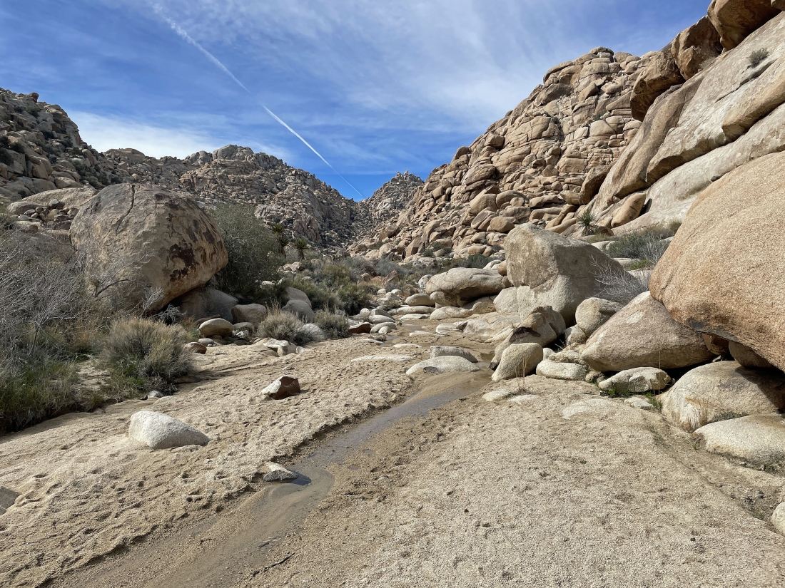
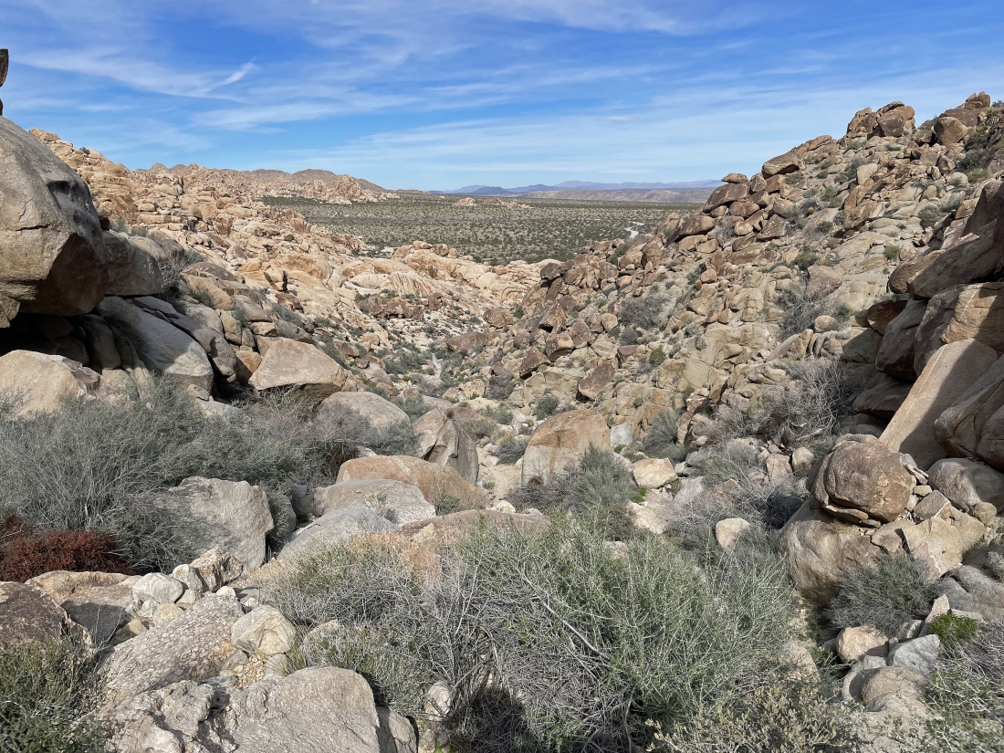
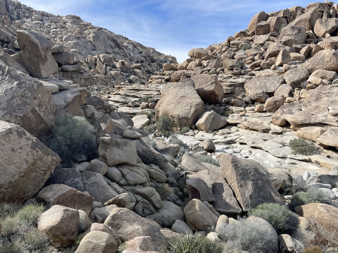
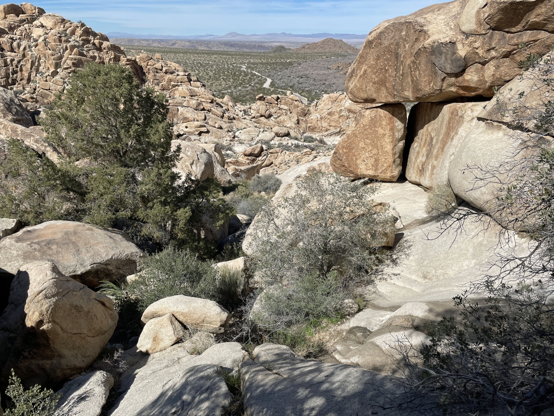
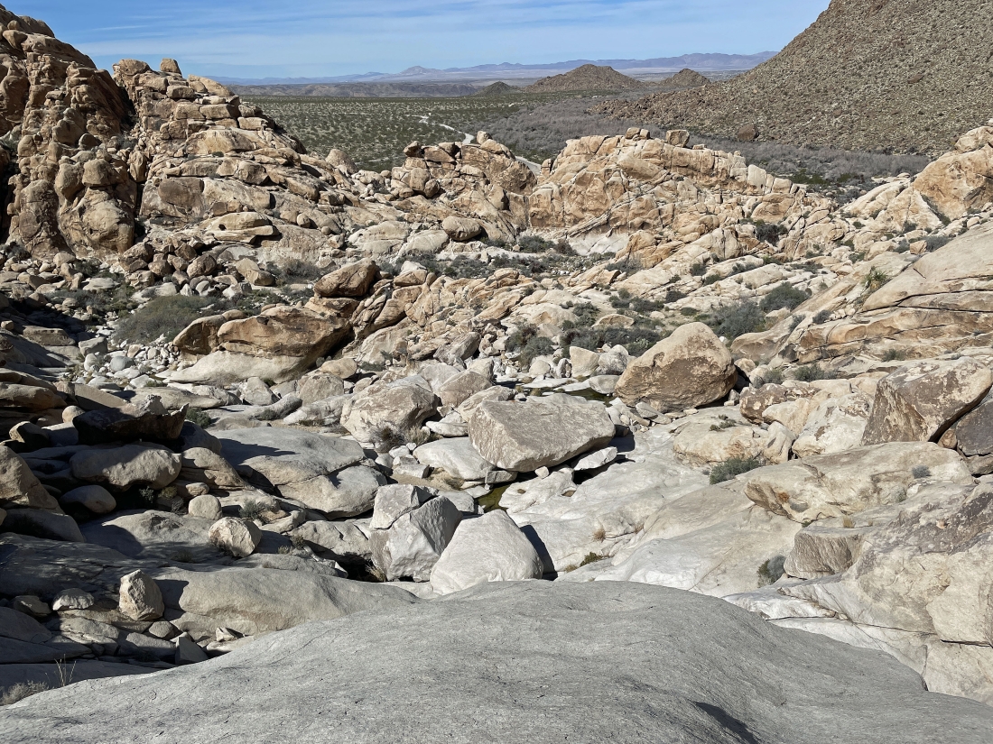
After hiking a total of 6 tenths of a mile we are now hiking SW again in Rattlesnake Canyon... we visited the 'V' out there on the horizon in the middle of the photo in January... it is located in the Willow Hole area of the park.
|
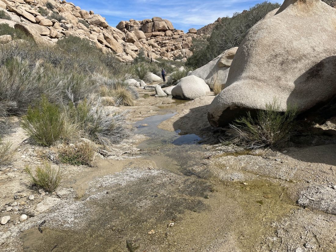
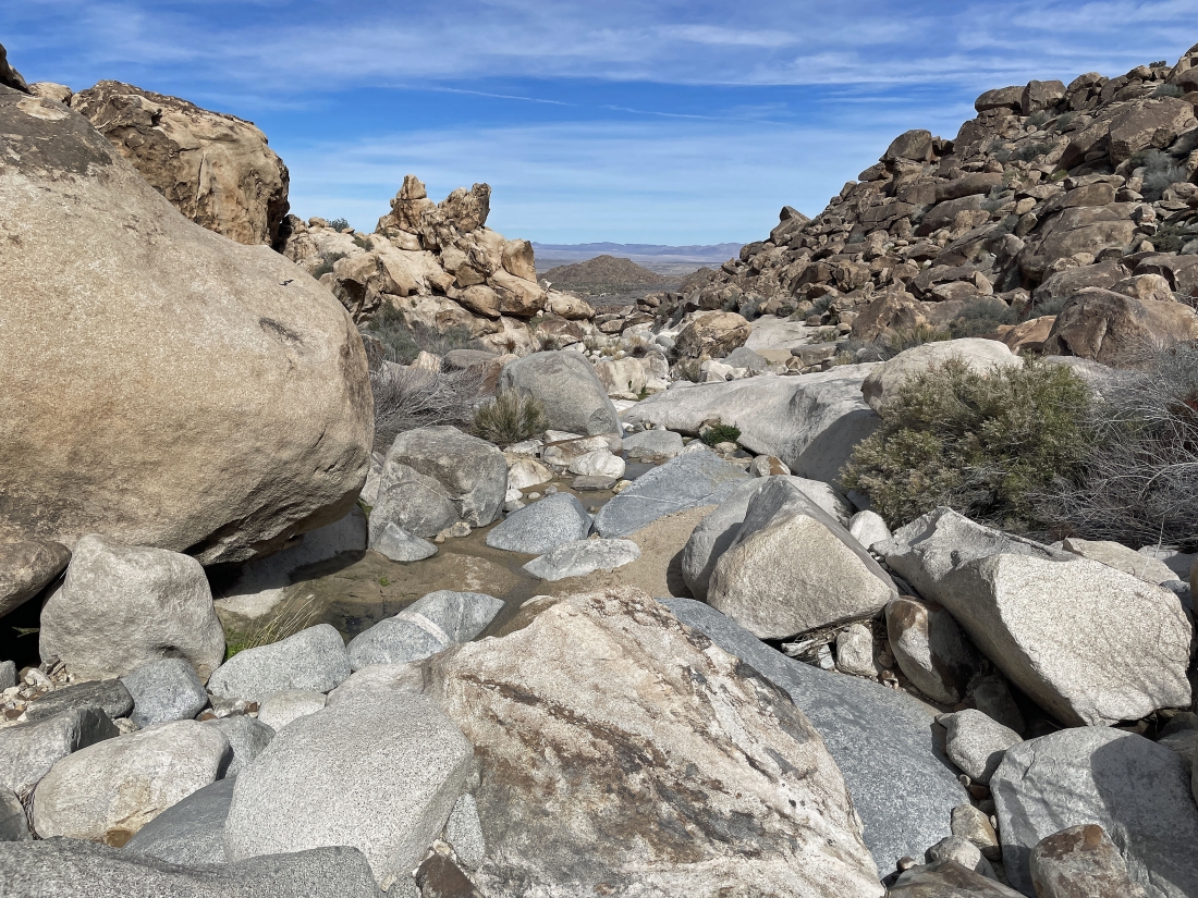
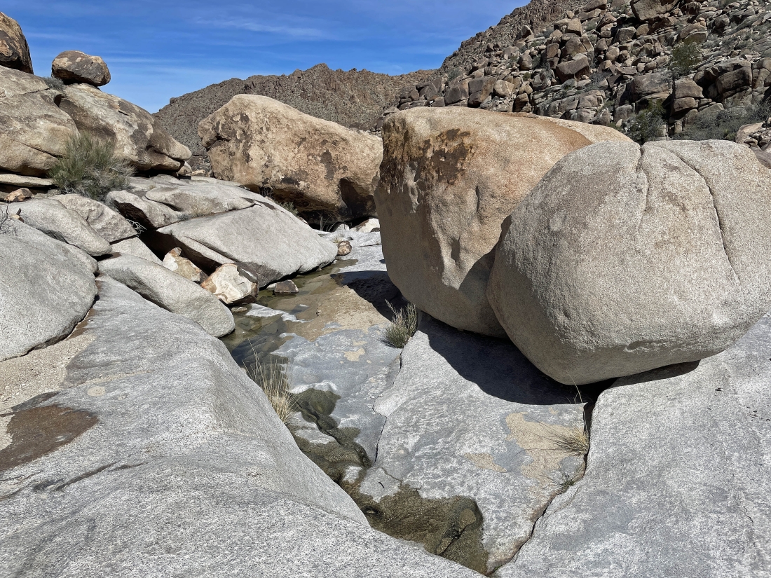
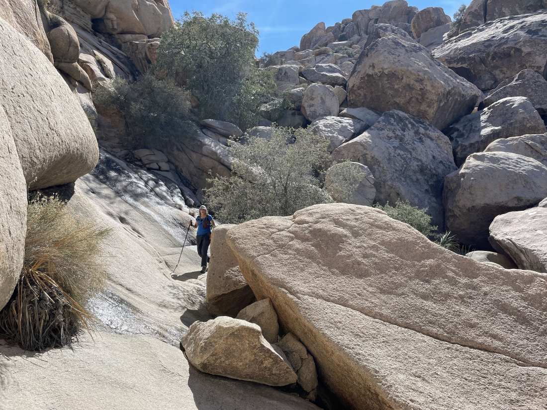
Continuing to hike SW in Rattlesnake Canyon... and the amount of water is hard to believe.
|
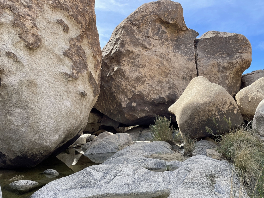
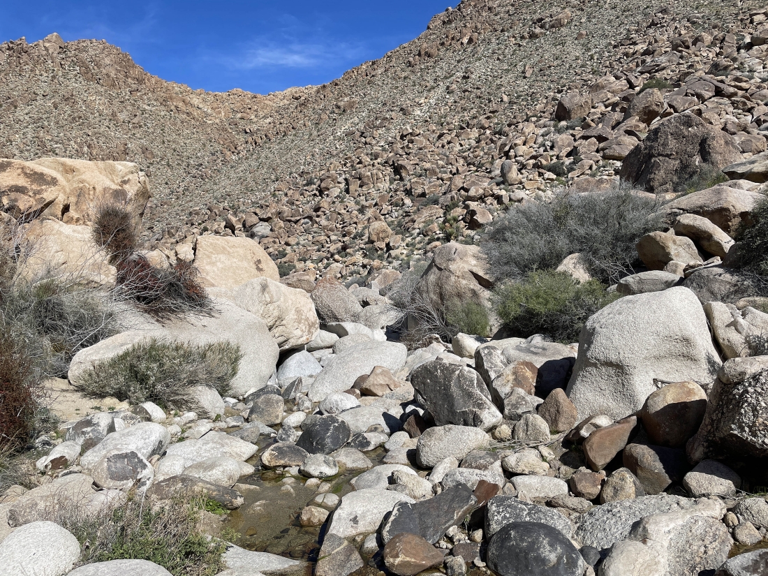
The terrain in Rattlesnake Canyon is much easier to deal with when there isn't much water to deal with.
|
After hiking a total of 9 tenths of a mile we have turned around and will trace our steps back to all of those potholes before continuing the loop portion of our hike.
|
Hiking north now... tracing our steps back and getting ready to rejoin the loop portion of our hike.
|
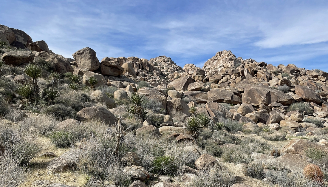
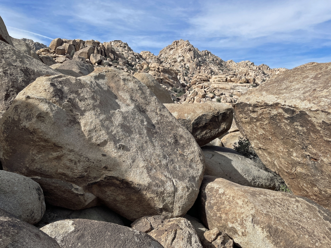
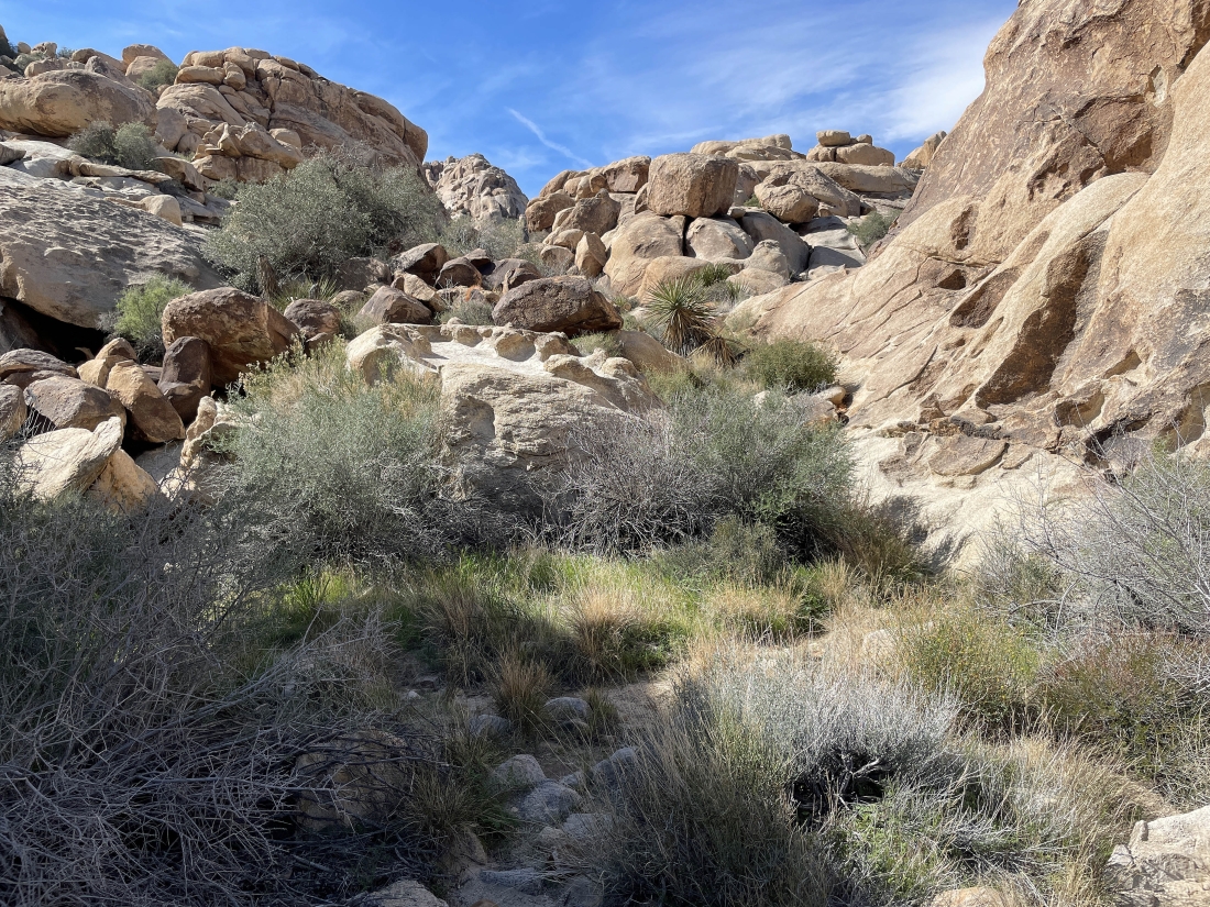
Hiking north on new terrain... looking for a way to loop our way out of Rattlesnake Canyon.
|
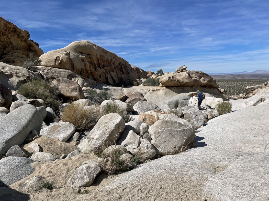
Hiking north on new terrain... looking for a way to loop our way down and out of Rattlesnake Canyon.
|
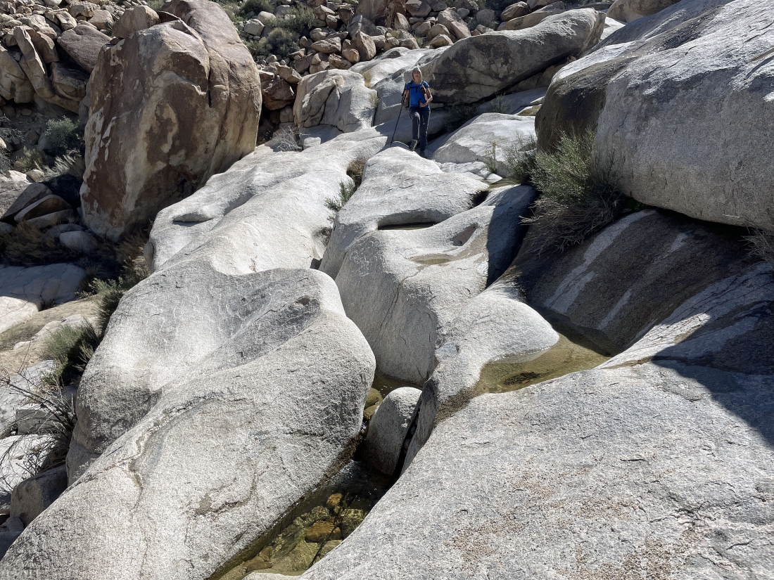
Looking north... and we can hear the water flowing to our right.
|
The water is flowing... and we knew that we were not going to follow it down... so, turn back a little way and find a better way down.
|
We traced our steps back a little less than a tenth of a mile and headed up to turn right just around the rock face in the right foreground.
|
This is what we saw after rounding the rock face in the previous photo... and from here it doesn't look very inviting... but the route will work.
|
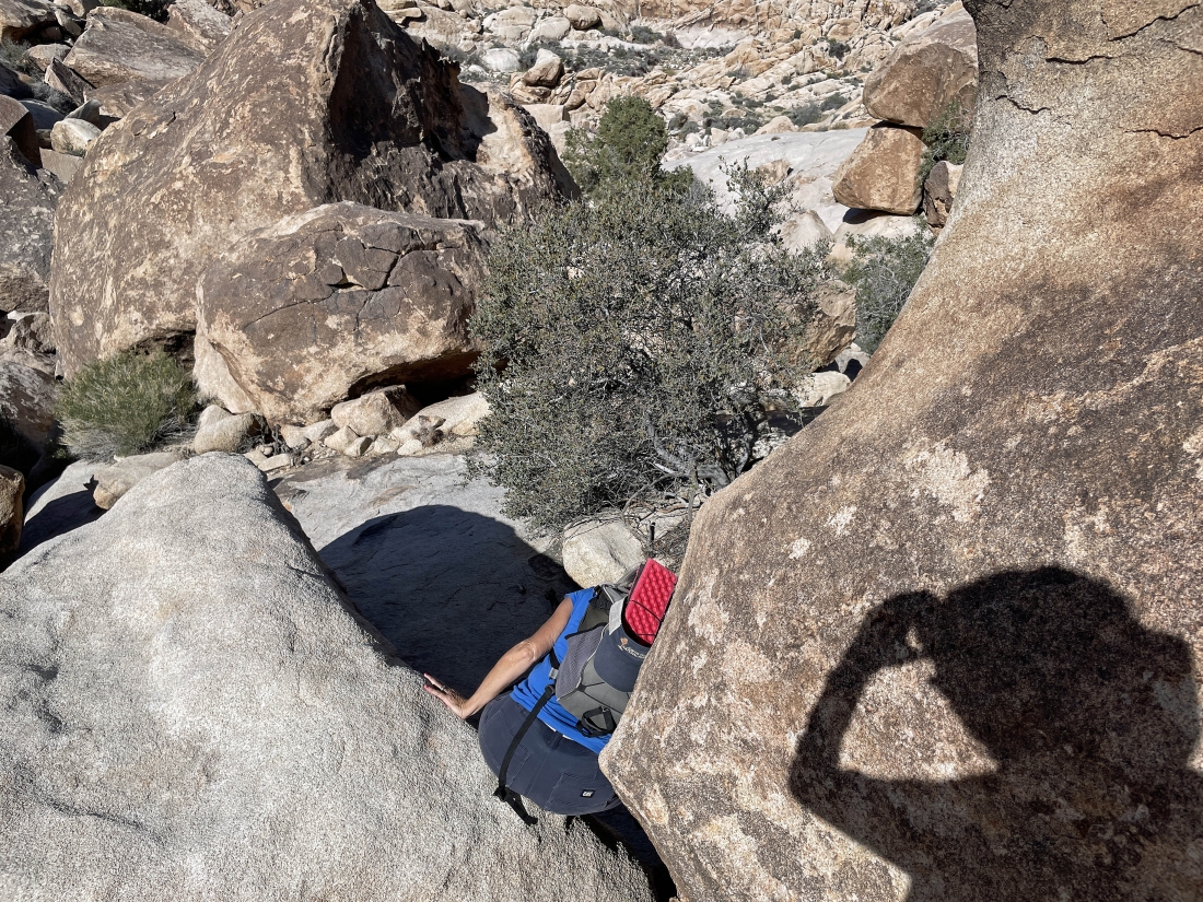
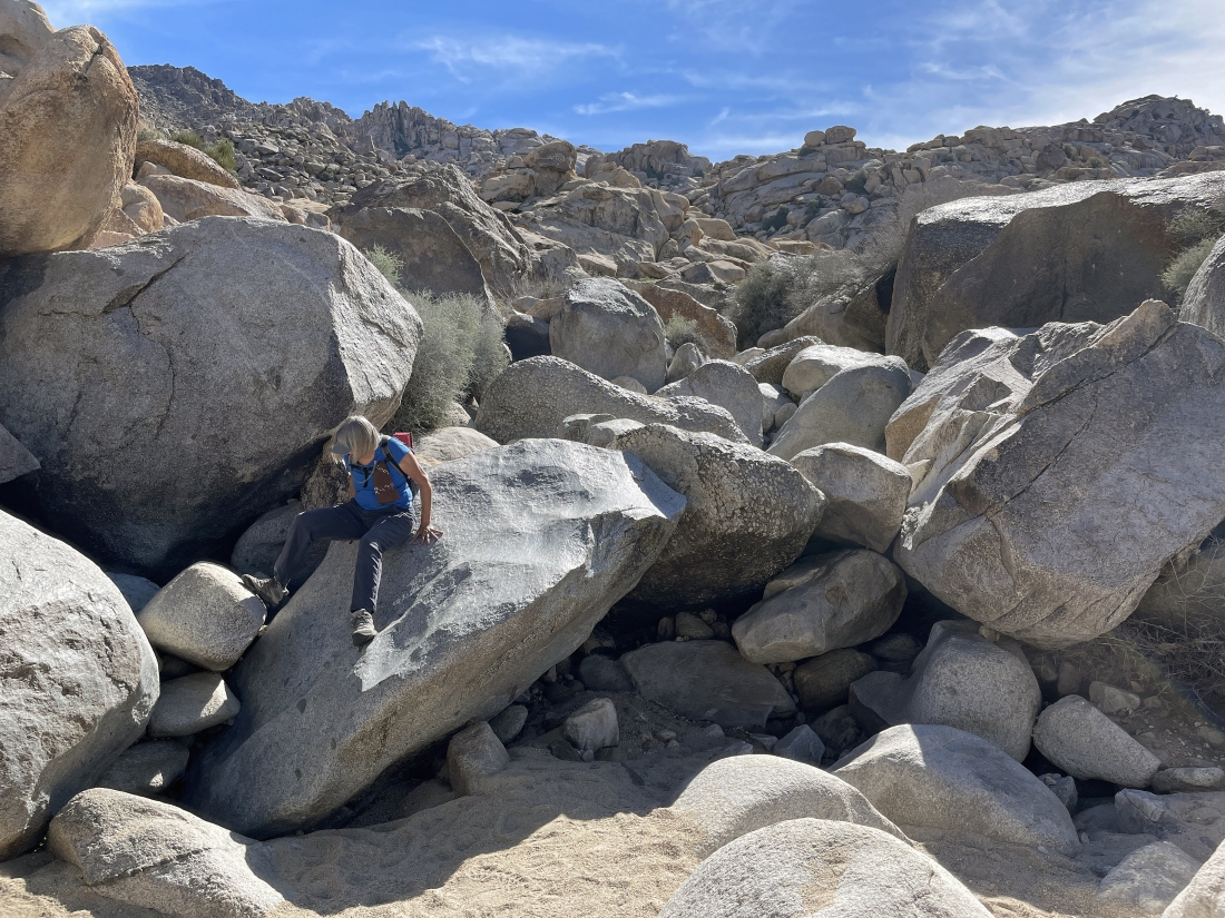
Denali Girl scrambles down.
|
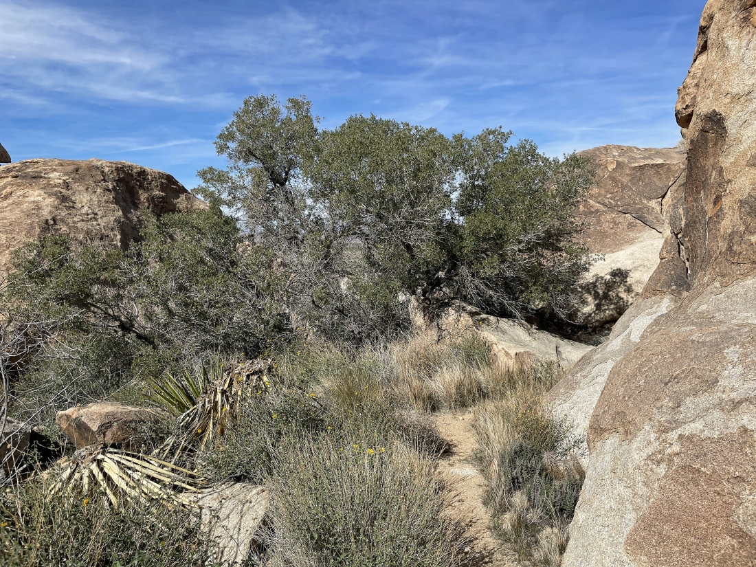
Continuing to scramble down... it might be hard to see this... but beyond the tree and in the foreground is a perpendicular crack in the rock... and that is where we are heading.
|
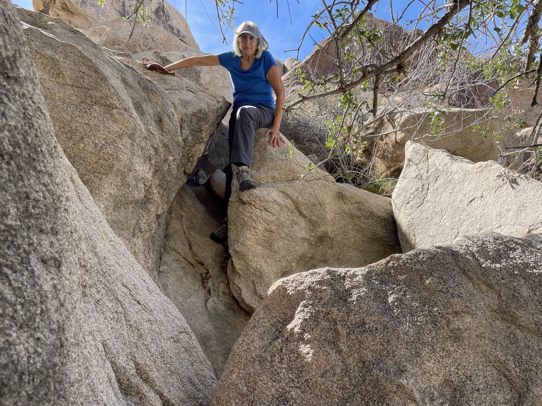
Denali Girl is scrambling down.
|
You can see the perpendicular crack in the rock just ahead of us.
|
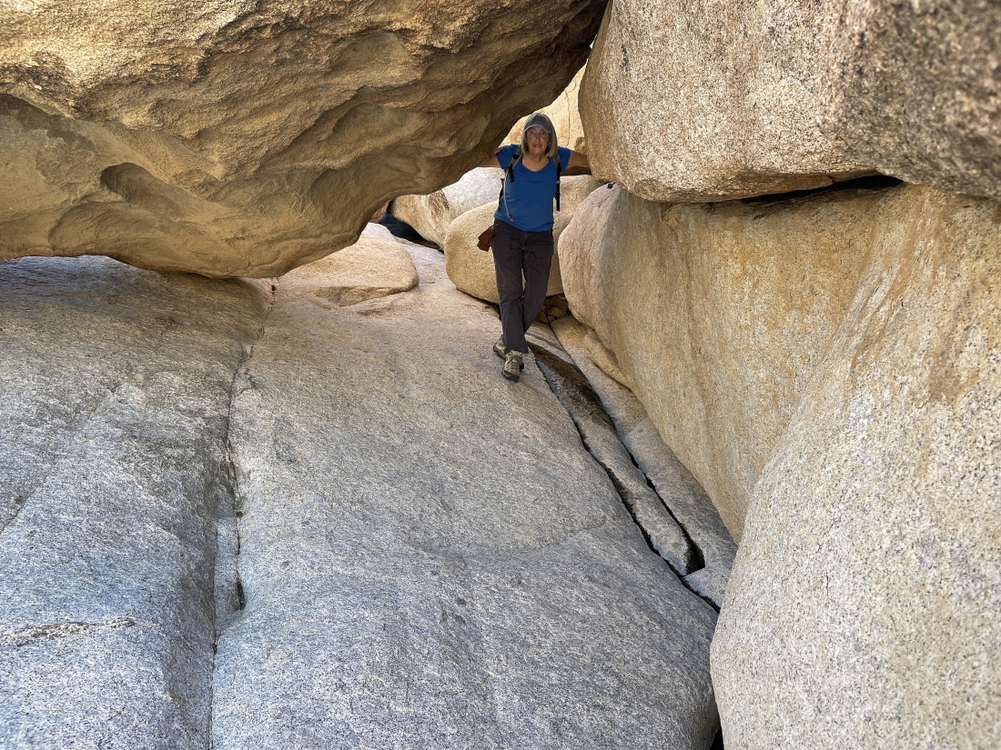
Denali Girl is coming over to join me at the perpendicular crack in the rock.
|
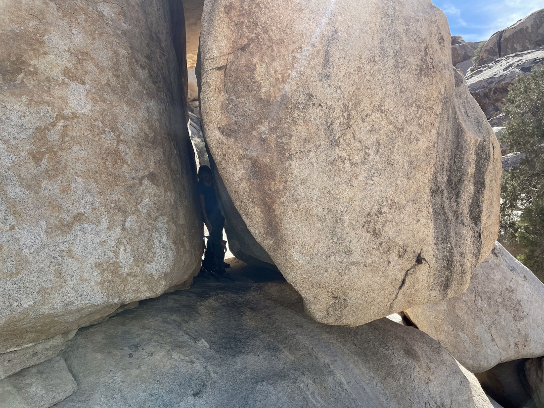
Denali is working her way through the perpendicular crack in the rock.
|
We have made it through the perpendicular crack in the rock and we can hear water flowing to our right.
|
Looking down at the water flowing down Rattlesnake Canyon... and there is a very good reason that we chose not to go down that way.
|
Very steep here, but we will go over to the left and find easier terrain.
|
Looking back... we started down from behind the tree on the far right horizon.
|
Continuing down the loop portion of our hike.
|
Continuing down the loop portion of our hike.
|
Looking back up to the tree on the horizon in the middle of the photo... and that was our route down.
|
Continuing down the loop portion of our hike... and plenty of water.
|
Almost back to reasonably flat terrain... and we see a 'road safety' sign out there in the distance.
|
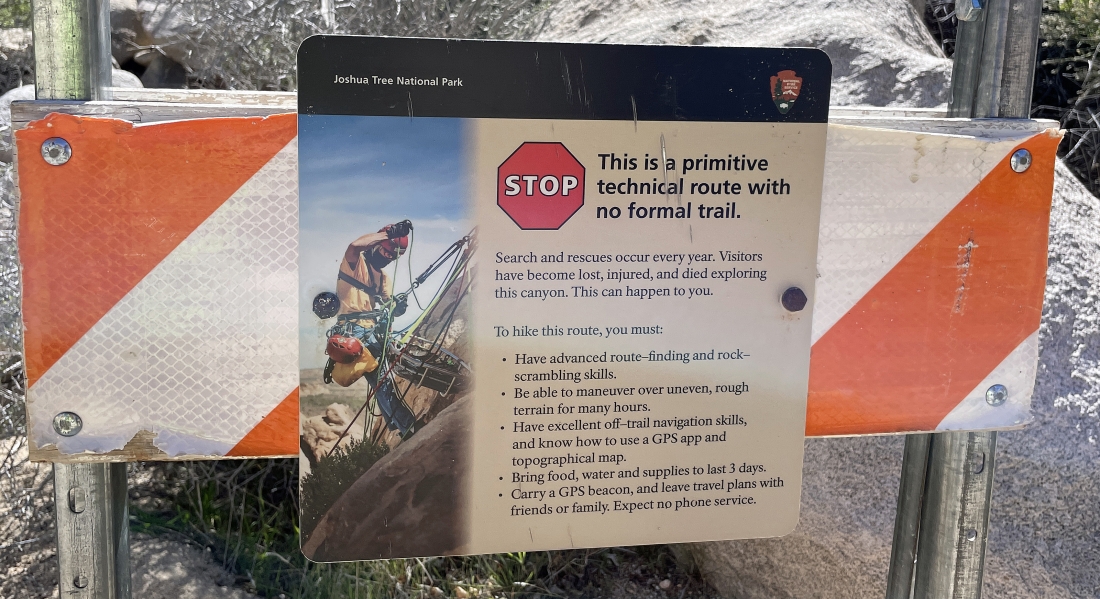
The road warning sign... well, we pretty much met the warnings... but we did not have food and water that would last 3 days.
|
We have finished hiking north... and will hike NE for a short distance to close the loop portion of our hike/scramble.
|
Hiking NE to close the loop portion of our hike... and there is plenty of water flowing here.
|
Almost ready to close the loop portion of our hike.
|
We have closed the loop portion of our hike and are almost back to our car.
|
The last bit of scrambling on this hike... leaving a tenth of a mile to get back to our car.
|
We will stroll over to our car out there in the middle of the photo... the total hike was 2 miles, gaining 385 feet of elevation... with the loop portion of the hike being 8 tenths of a mile.
|
