Paulina Peak - 6.2.2026
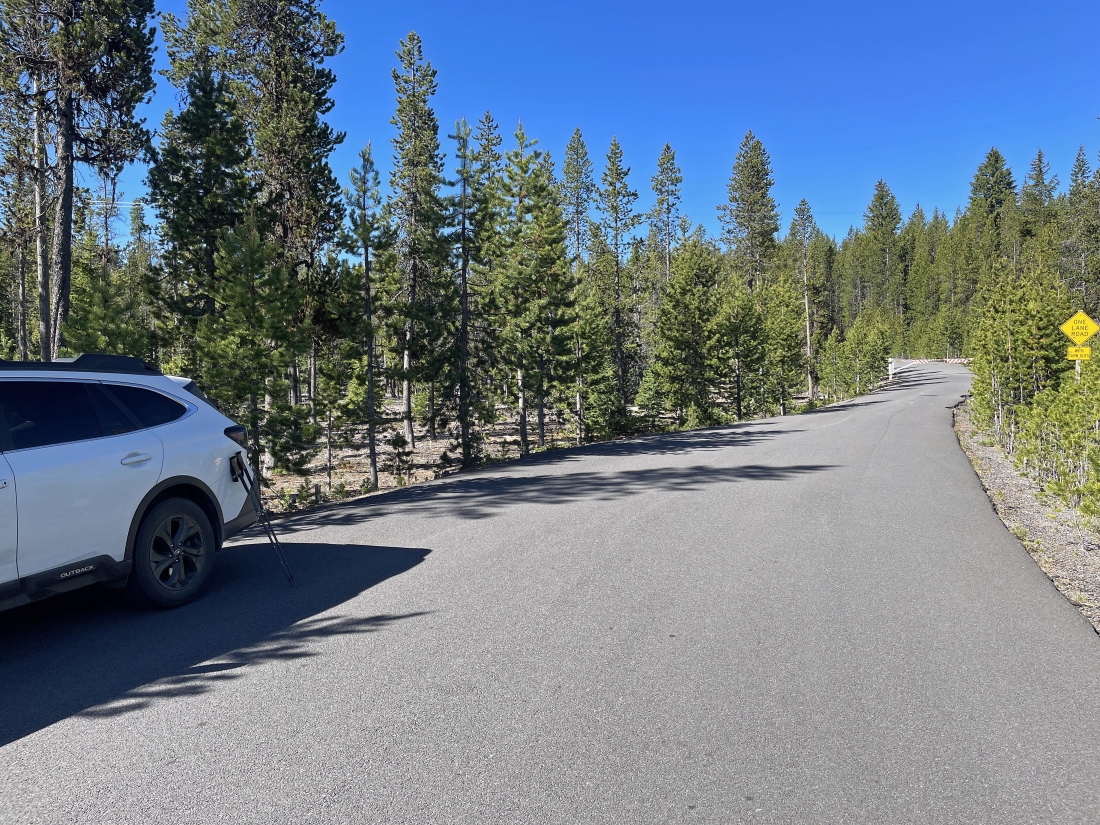
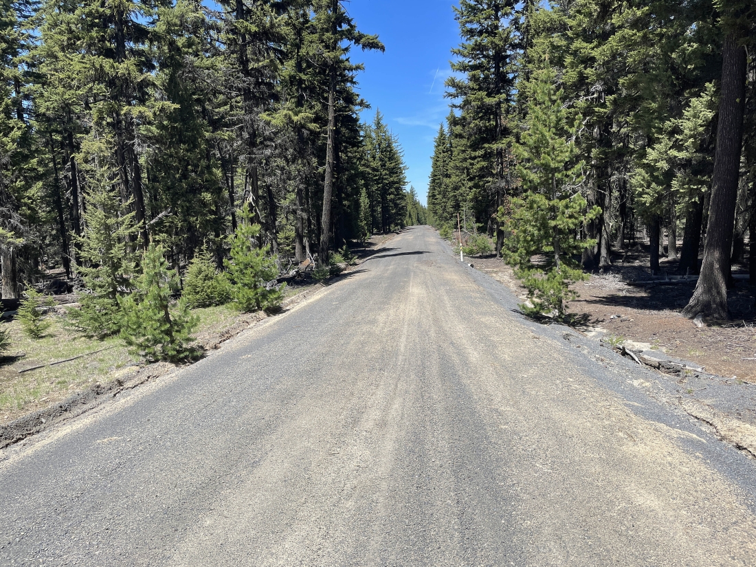
Near the city of La Pine, Oregon... turn east off of Hwy 97 onto Paulina Lake Road (aka County Hwy 21) and drive 12.9 miles up to the Paulina Lake area where you will turn right onto National Forest Development Road 500... then drive a very short distance and park on the gated road at an elevation of 6,360 feet. Note that after July 1 the road is usually open and will take you all the way up to the summit area of Paulina Peak.
|
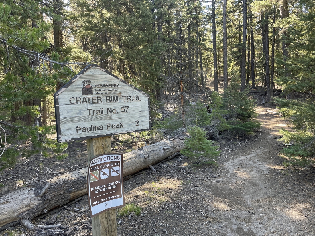
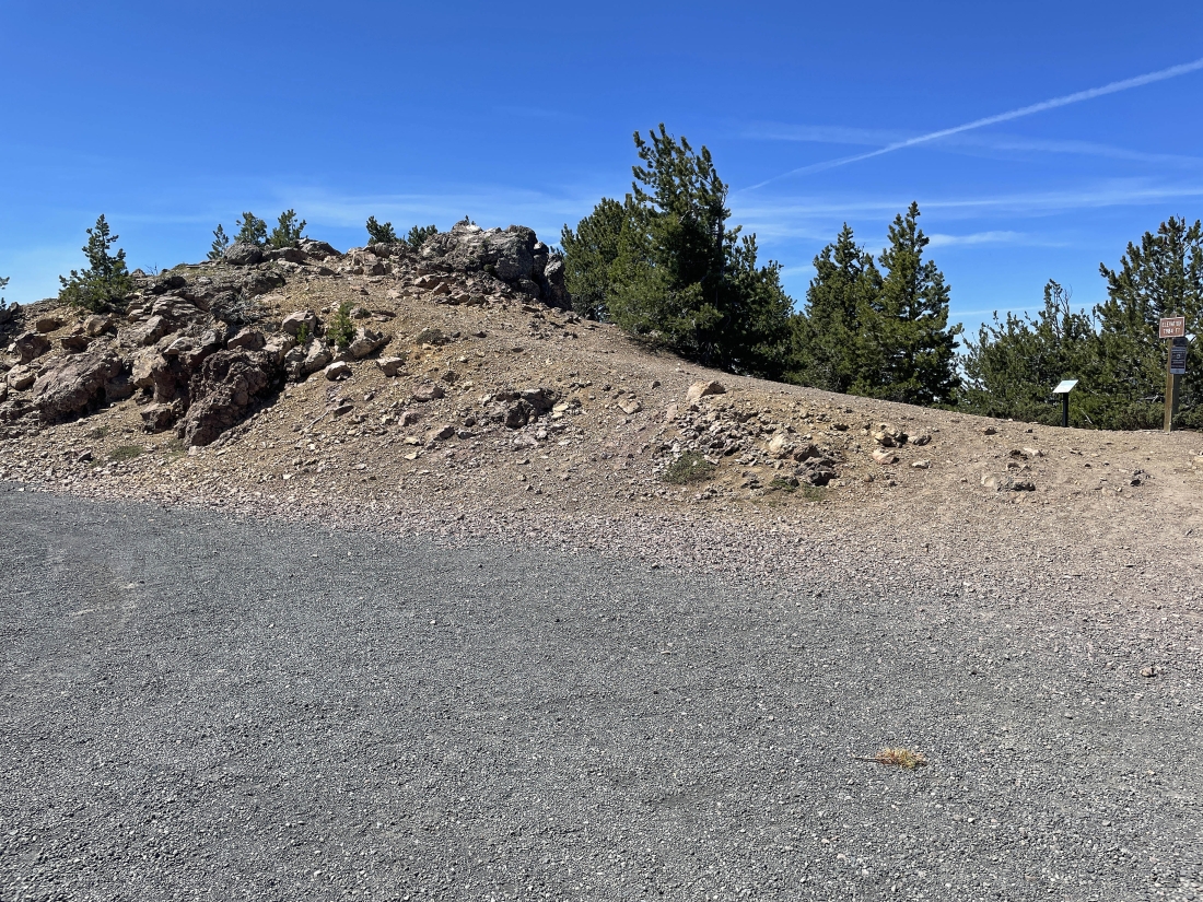
After hiking road 500 for .65 miles I have arrived at the Crater Rim Trail #57 which is located at an elevation of 6,540 feet... and the sign says that Paulina Peak is a 2 mile hike from here.
|
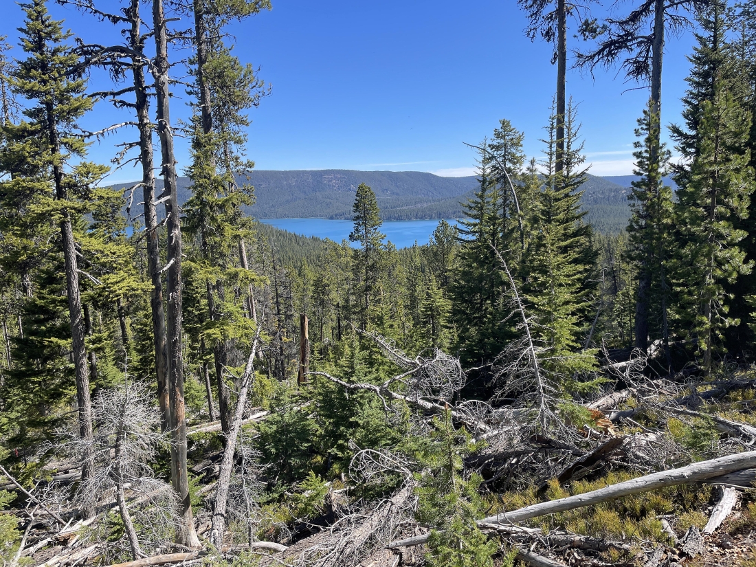
After hiking 1.3 miles from where I parked I started getting partial views of Paulina Lake at an elevation of 6,860 feet.
|
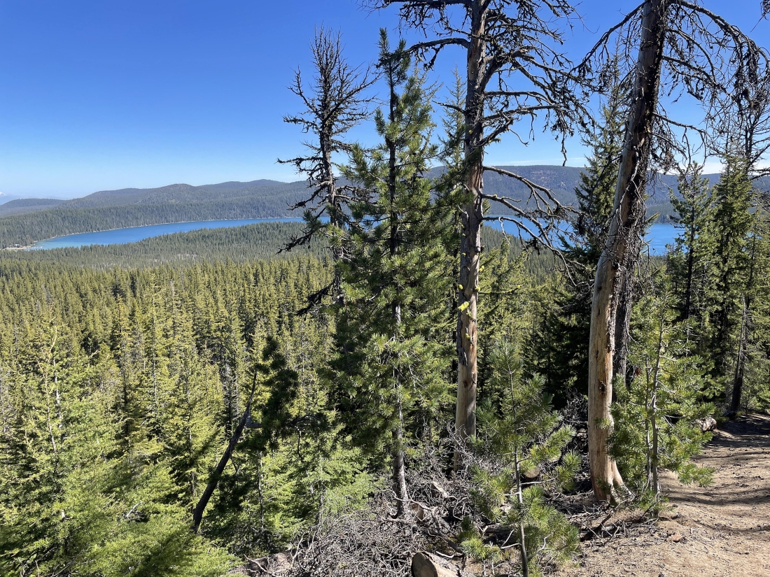
I can see more of Paulina Lake at an elevation of 6,920 feet.
|
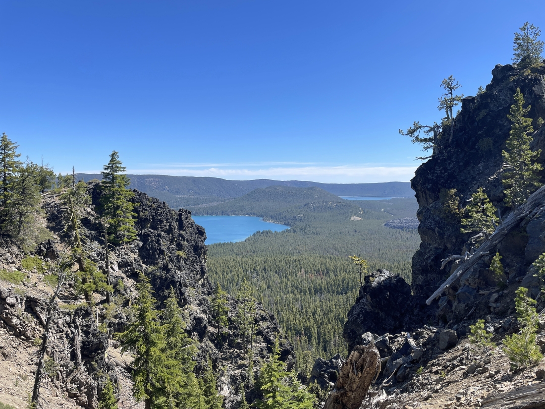
After hiking a total of 1.7 miles from where I parked I have arrived at 7,255 feet of elevation... and can see the east end of Paulina Lake... with part of East Lake in the distance on the right.
|
|
After hiking a total of 2.3 miles from where I parked I have arrived at 7,670 feet of elevation.. and I can see almost all of Paulina Lake... with Mount Bachelor, the Three Sisters and Broken Top on the far left horizon.
|
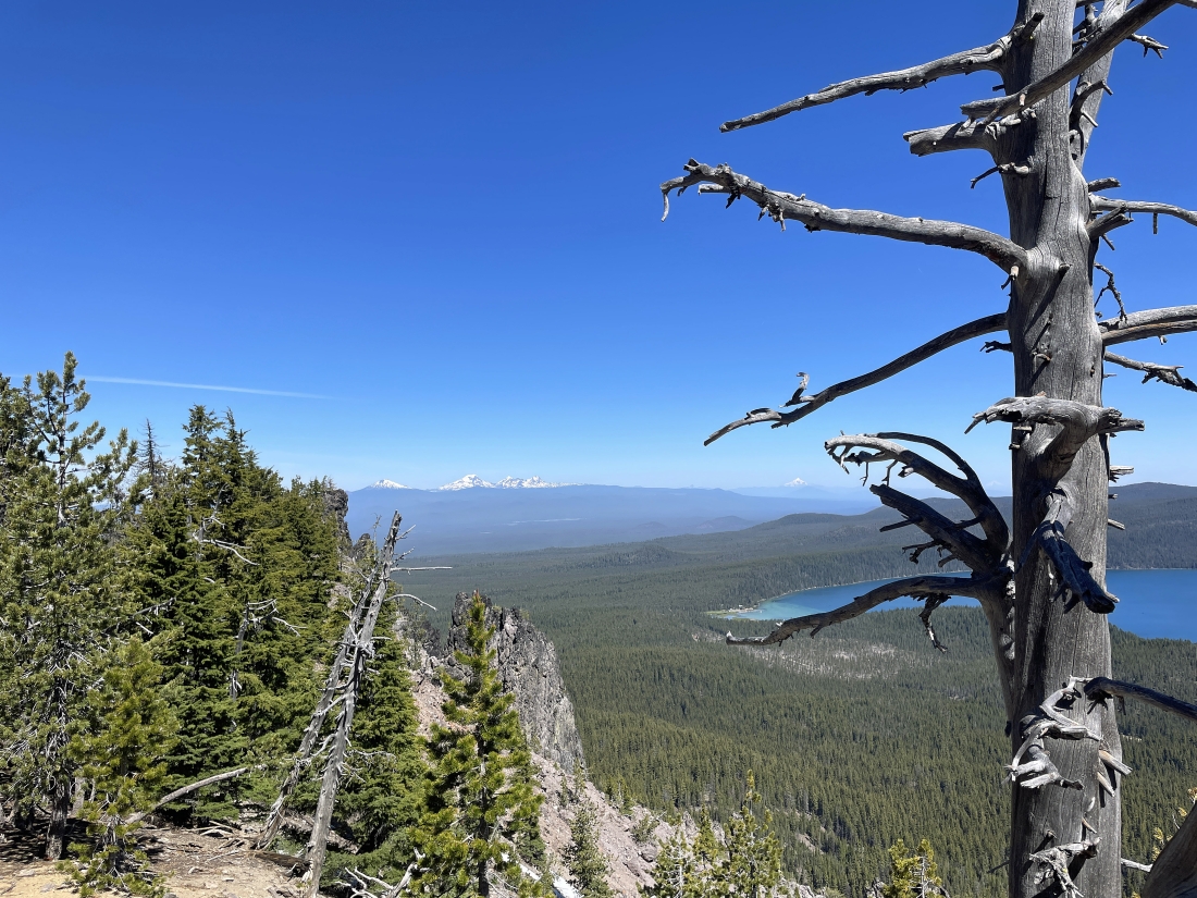
A closer look at Mount Bachelor, South Sister, Middle Sister, North Sister and Broken Top on the left horizon... and a faint look at Mount Jefferson on the right-center horizon.
|
After hiking a total of 2.4 miles from where I parked I have arrived at 7,750 feet of elevation.. with the pano shot showing all of Paulina Lake, a very small piece of East Lake and the Cascade peaks on the left horizon.
|
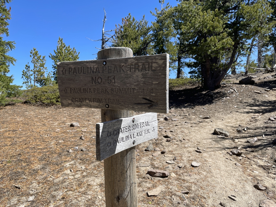
After hiking a total of 2.5 miles from where I parked I have arrived at 7,770 feet of elevation.. where I have found where the Crater Rim Trail joins the Paulina Peak Trail... and it looks like I am a quarter mile hike from the Paulina Peak summit.
|
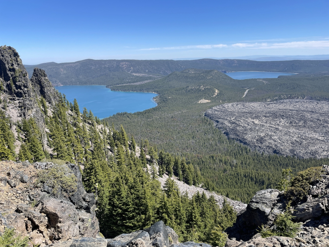
After hiking a total of 2.7 miles from where I parked I have arrived at 7,875 feet of elevation.. looking out to the east end of Paulina Lake on the left... and most of East Lake out there on the right... with a good sized chunk of the 'Big Obsidian Flow' down below on the right.
|
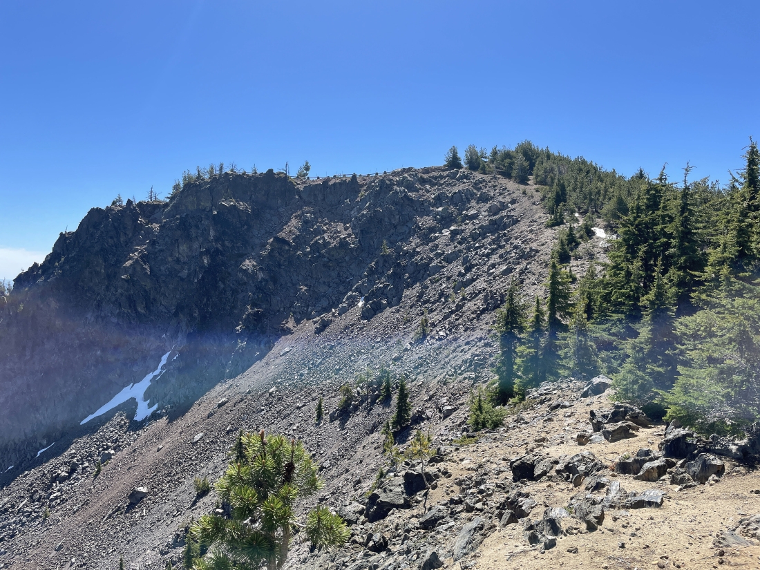
I can see the summit parking area fence up there as I get closer to the Paulina Peak summit... but the trees block the actual summit which is only 30 feet higher than the parking lot.
|
After hiking a total of 2.8 miles from where I parked I have arrived at 7,950 feet of elevation... a stone's throw from the summit parking area... look close in the left foreground of the photo and you can see a very short piece of the trail that got me over here.
|
After hiking a total of 2.8 miles from where I parked I have arrived at 7,960 feet of elevation... and you can see part of the parking lot and the actual 7,984 foot Paulina Peak summit on the extreme far left edge of the photo.
|
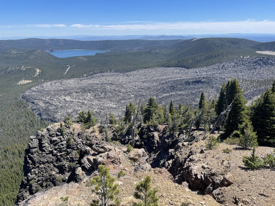
Before going up to the Paulina Peak summit I hiked a few hundred feet further east to get a full view of the 'Big Obsidian Flow' which has 700 acres of obsidian... and that is East Lake in the distance.
|
I'm heading back to the Paulina Peak summit from my view of the 'Big Obsidian Flow'... nice view of Paulina Lake, East Lake and a good portion of the obsidian flow.
|
Heading up to the Paulina Peak summit from the parking area.
|
On the 7,985 foot summit of Paulina Peak... looking down on the parking area... and to be honest, the view is actually a little better from the parking area.
|
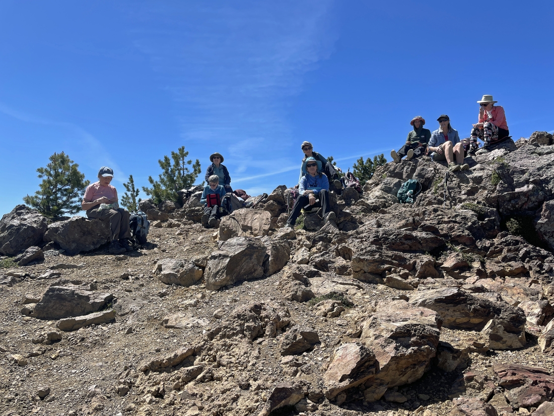
I had the summit to myself for 30 minutes... and then I was joined by some members of the 'Renton Womens Hiking Club' who had come down from Renton, Washington for a few days.
|
I traced my steps back down from the Paulina Peak summit to rejoin the National Forest Development Road 500... leaving a .65 mile hike back to my car.
|
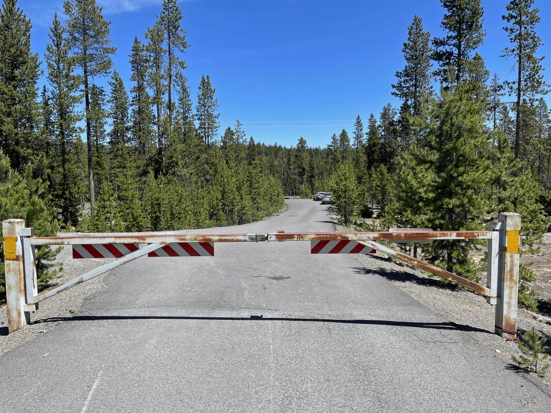
I have returned to the gate on the National Forest Development Road 500 and my car is a stone's throw further down the road... the total hike was 5.8 miles, gaining 1,623 feet of elevation.
|
