Broken Hand West - 9.11.2026
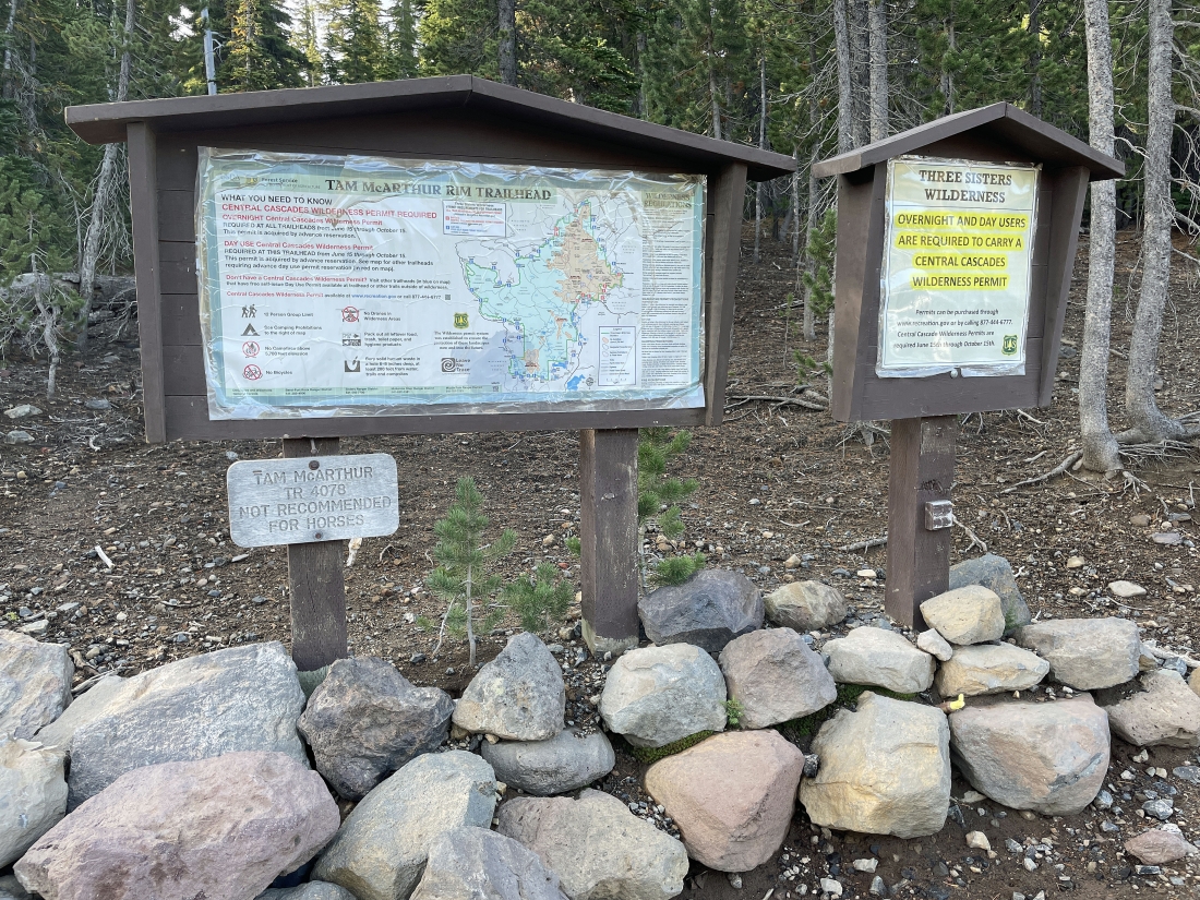
Drive Three Creek Lake Road (aka NF-16) 16.3 miles from the town of Sisters, Oregon, to reach the Tam McArthur Rim Trailhead #4078... the elevation is 6,530 feet.
|
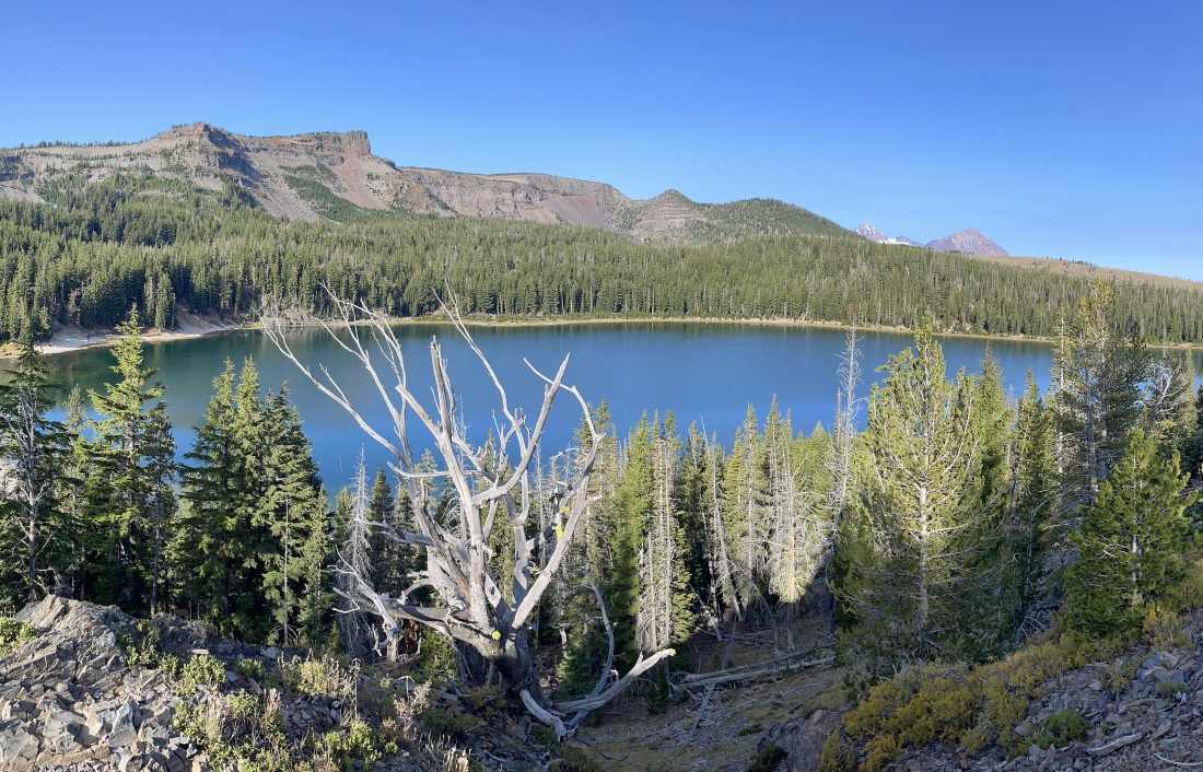
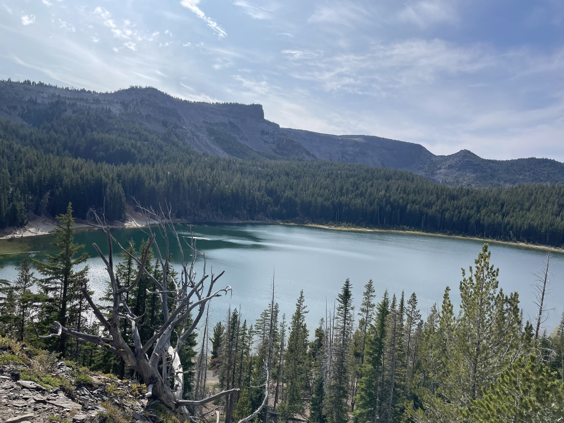
Looking down on Three Creek Lake as we head up the Tam McArchur Rim Trail. The Tam McArthur Rim Lookout (aka Point 7732) is out there on the left horizon... with Middle Sister and North Sister on the far right horizon.
|
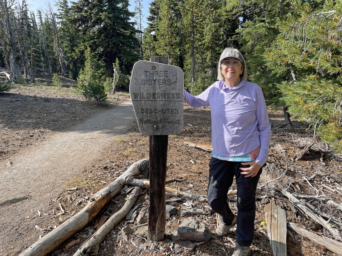
After hiking 1 mile we are getting ready to enter the Three Sisters Wilderness.
|
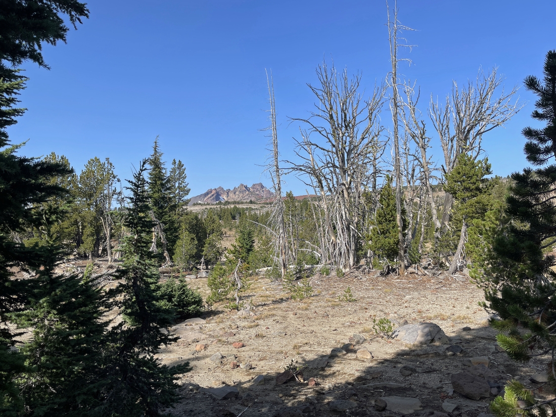
After hiking the Tam McArchur Rim Trail for 2 miles we got the first good look at Broken Top Mountain.
|
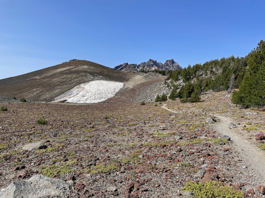
We have passed by the short detour over to the Tam McArthur Rim Lookout (aka Point 7732) and will do it on our way back to the car if we have the energy to do it... Broken Top is out there in the distance.
|
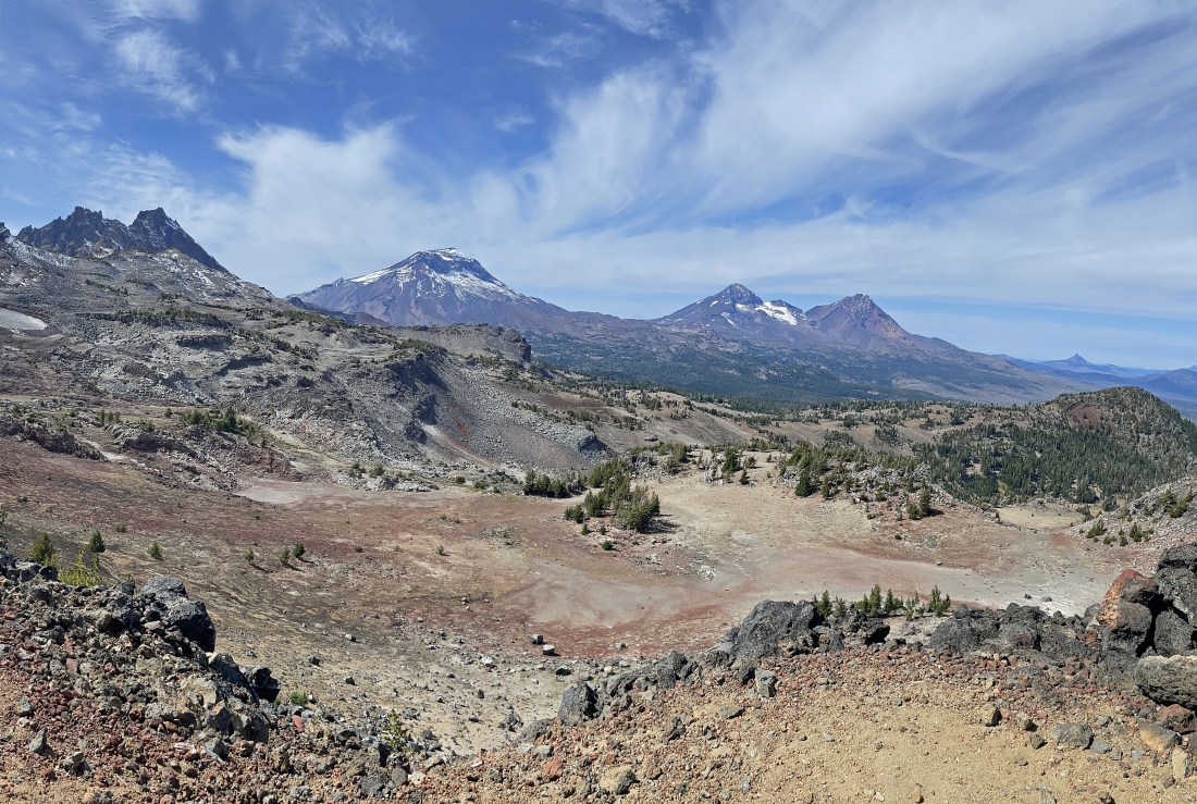
After hiking for a total of 3.8 miles a path led us 100 feet off trail to this awesome view point... left to right you have Broken Top, South Sister, Middle Sister and North Sister.
|
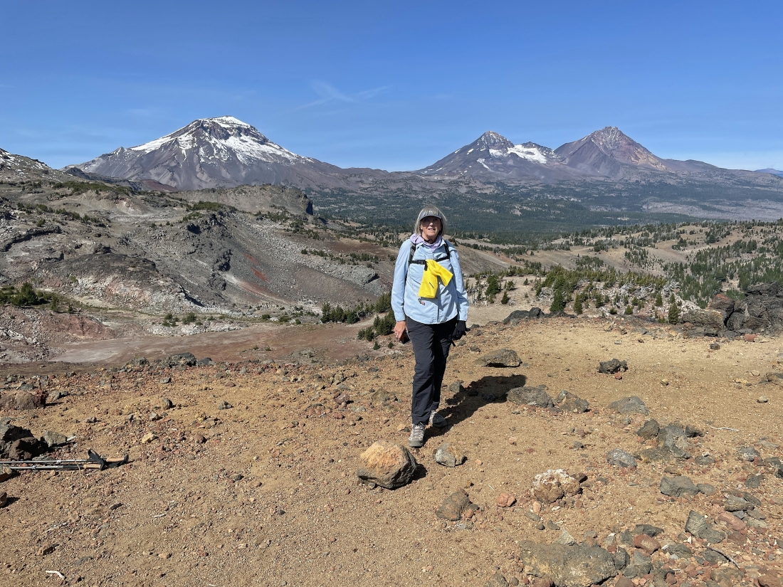
I took this photo of Denali Girl at the awesome viewpoint... with the Three Sisters on the horizon.
|
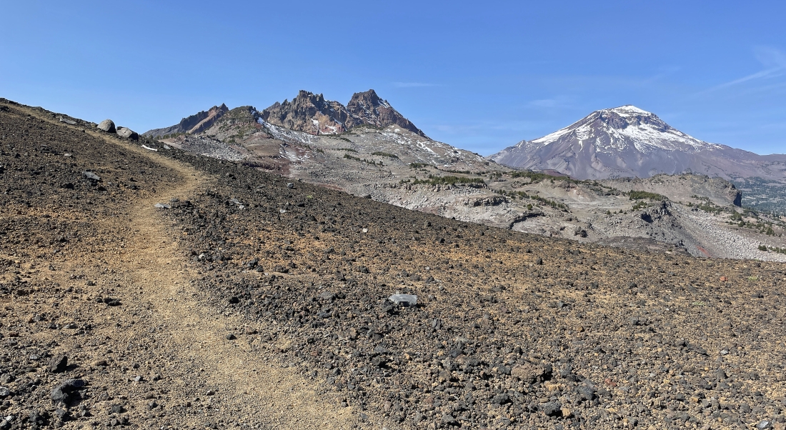
Continuing to hike west on the Tam McArthur Rim Trail. Broken Hand and Broken Hand West are in front of Broken Top... but Broken Top makes them hard to see in this photo. South Sister is on the far right horizon.
|
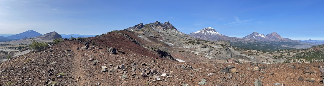
Continuing to hike west on the Tam McArthur Rim Trail... with Mount Bachelor on the far left horizon... Ball Butte in the far left foreground... Broken Top in the middle of the photo... and the Three Sisters to the right of Broken Top.
|
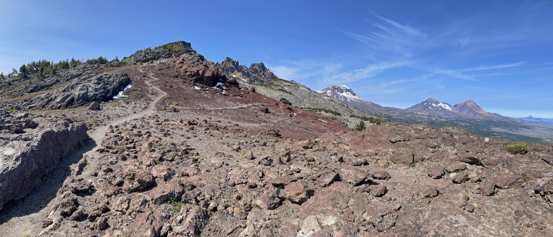
Continuing to hike west on the Tam McArthur Rim Trail... with the trail splitting here. The trail going up hill takes a person up to Broken Hand... but I will stay lower to the right and continue to hike west toward Broken Top.
|
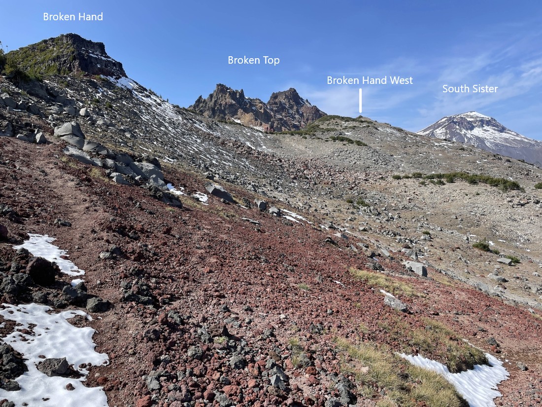
Staying lower here and heading over toward Broken Hand West... a person could actually stay higher here and cross underneath Broken Hand much higher... but there is a lot of icy snow on that route and I don't have the proper gear to deal with that route.
|
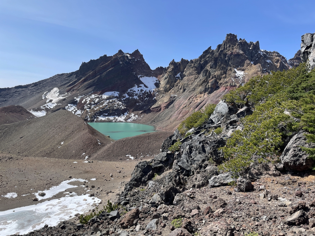
Working my way over to Broken Hand West and my first view of 'No Name Lake' on the east side of Broken Top.
|
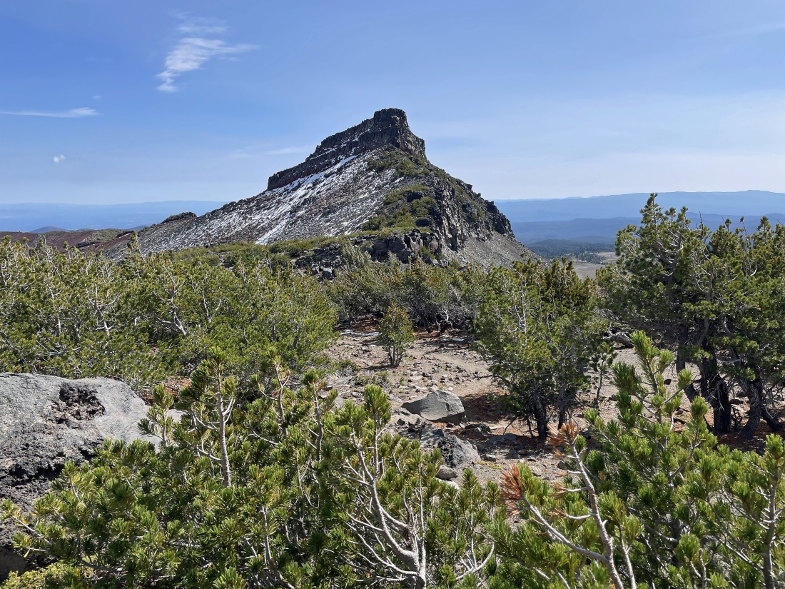
Looking back at Broken Hand (aka The Coffin) as I am getting closer to Broken Hand West.
|
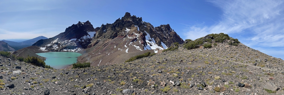
Broken Hand West is just beyond the huge bump in the right foreground.
|
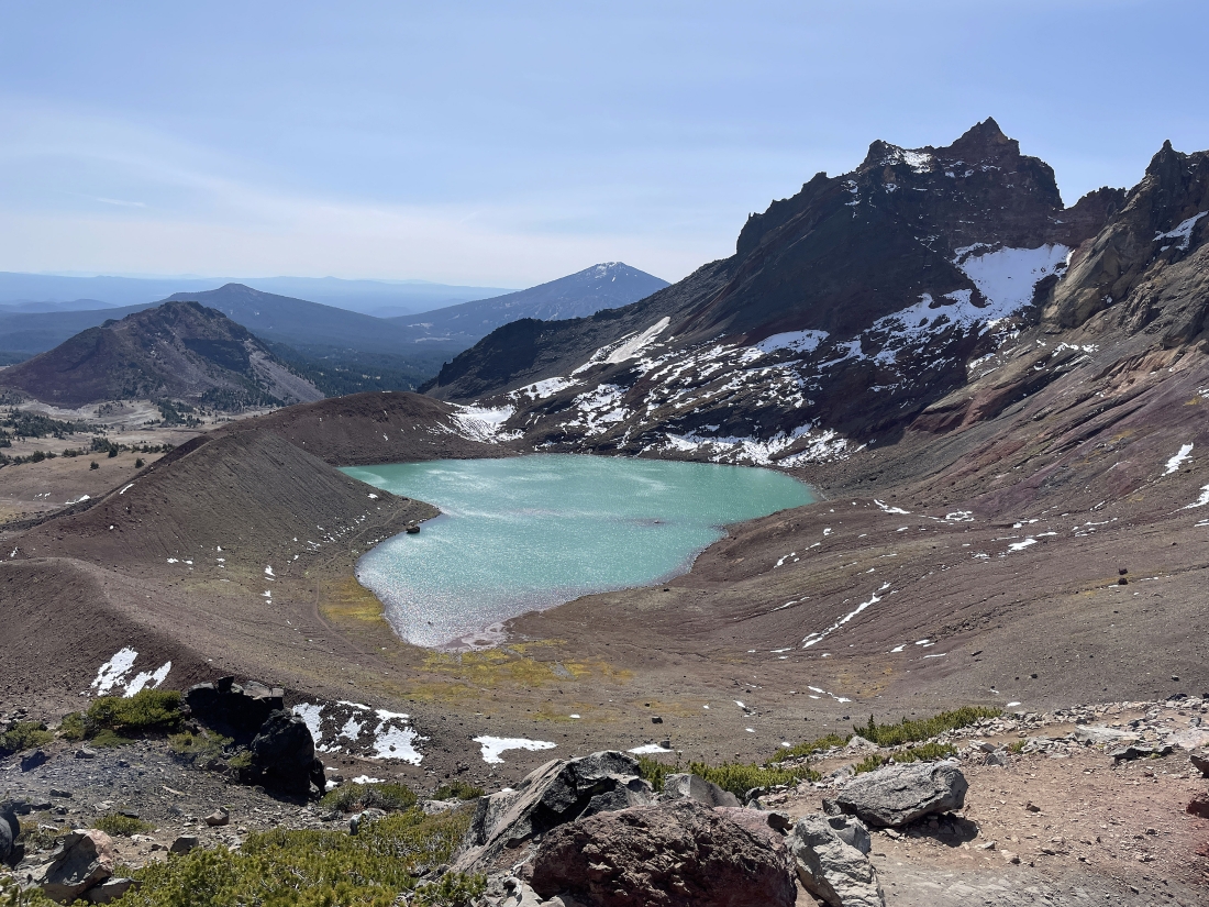
After hiking a total of 5.4 miles I have reached the 8,388 foot summit of Broken Hand West... here looking down at 'No Name Lake' on the east side of Broken Top... with Ball Butte in the left foreground... and Tumalo Mountain and Mount Bachelor in the distance on the far left horizon.
|
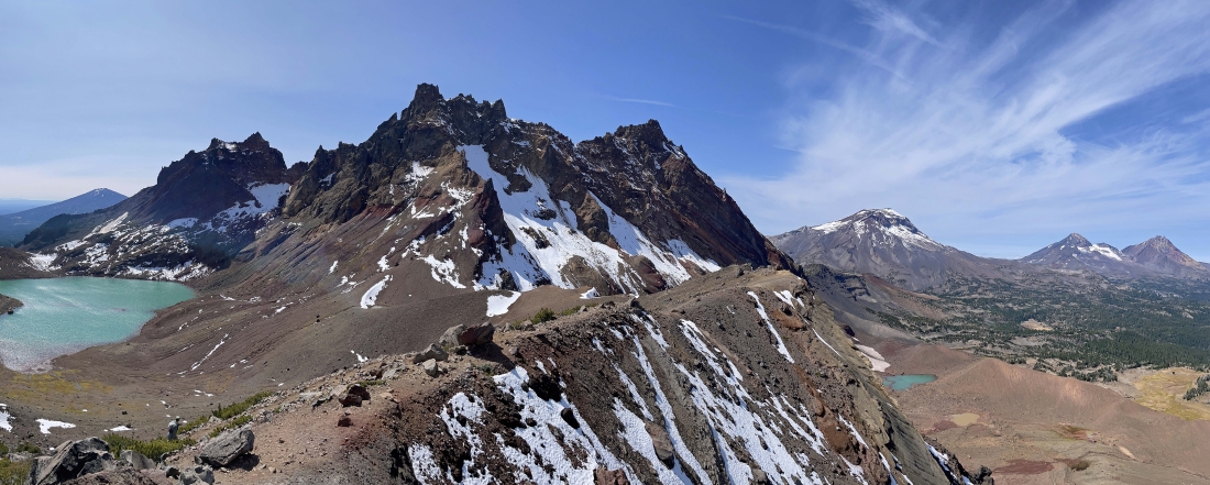
Still on the summit of Broken Hand West... looking out along the ridge that continues over toward Broken Top and down to 'No Name Lake'... with Mount Bachelor on the far left horizon... and the Three Sisters on the right horizon.
|
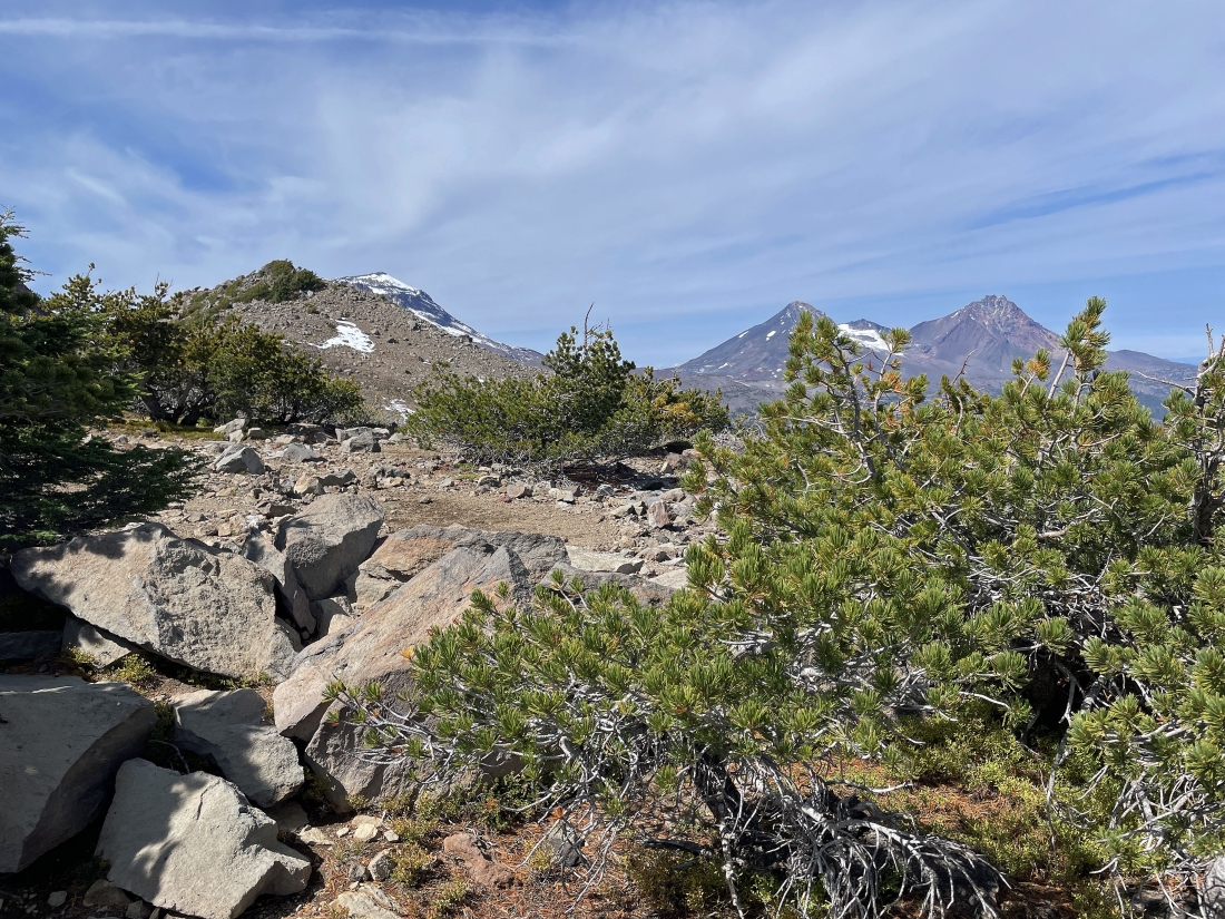
Looking back up at Broken Hand West as I more or less trace my steps back to the car.
|
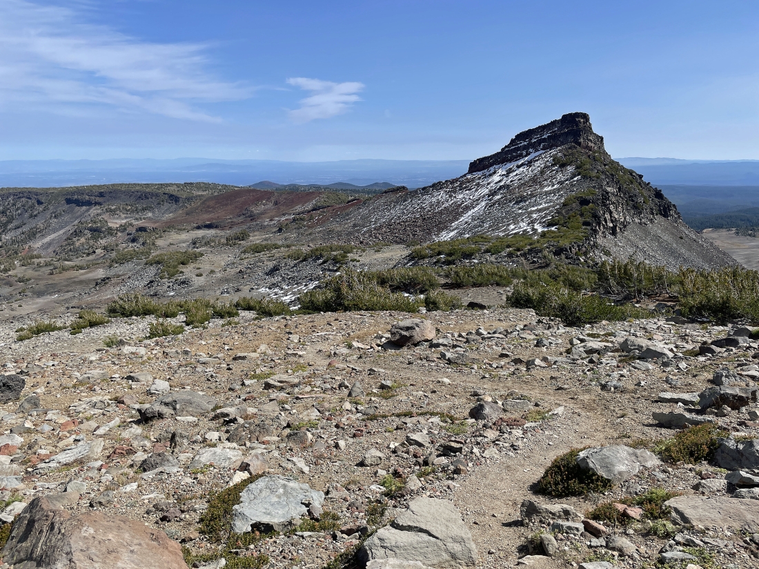
Continuing down from Broken Hand West and looking over at Broken Hand... and you can see why I chose to stay totally below Broken Hand on the way over here... and I will stay low going back to the car.
|
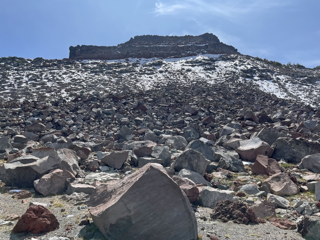
Looking up at Broken Hand as I trace my steps back to the car... and look closely and you can see the snowy trail up above in the middle of the photo... and the snow on the trail is very icy.
|
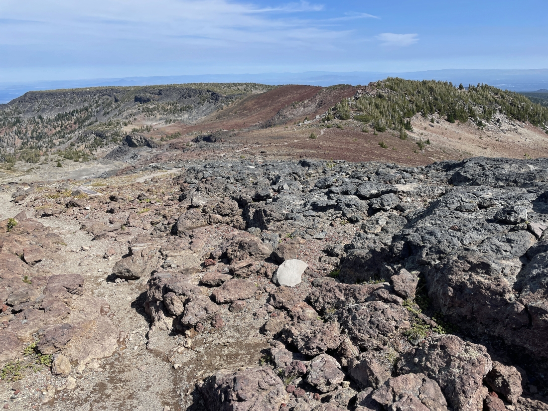
Tracing my steps back along the Tam McArthur Rim Trail... hiking east now.
|
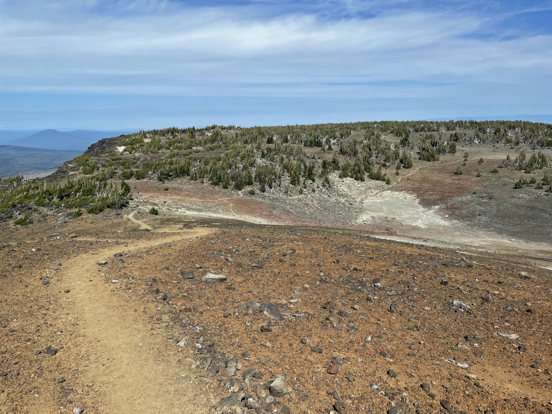
Tracing my steps back along the Tam McArthur Rim Trail... hiking east now.
|
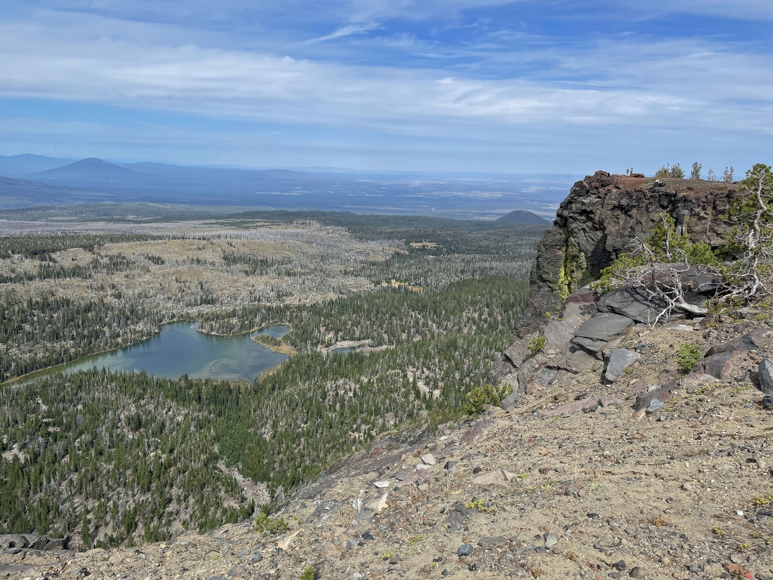
On the way back to the car we chose to take the eighth of a mile detour over to Tam McArthur Rim Lookout (aka Point 7732)... here looking down at Little Three Creek Lake.
|
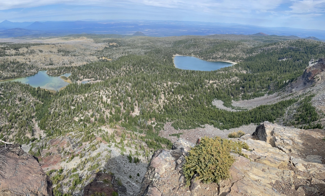
We are standing on the Tam McArthur Rim Lookout... looking down on the left at Little Three Creek Lake and over to the right at Three Creek Lake... and in another 2.8 miles of hiking we will be back to our car which is parked very close to Three Creek Lake.
|
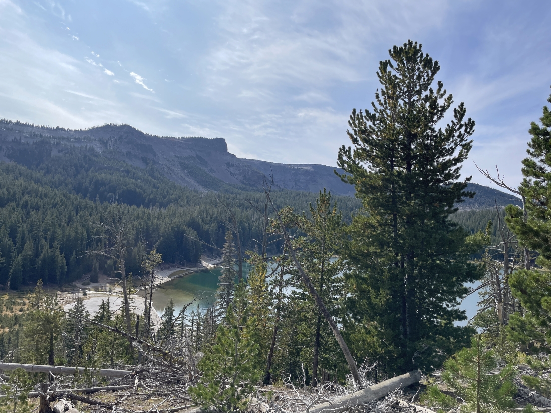
Getting closer to our car... looking beyond Three Creek Lake to Tam McArthur Rim Lookout on the horizon.
|
Really close to our car now... the total hike was 11 miles, gaining 2,300 feet of elevation.
|