Mazama Ridge - 2.27.2012
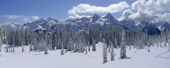
Most of The Tatoosh Range... with Stevens Peak on the far left... and Lane Peak on the far right.
|
|
|
Mazama Ridge - 2.27.2012
Most of The Tatoosh Range... with Stevens Peak on the far left... and Lane Peak on the far right.
|
